Elevation of Pittsfield, Pittsfield, ME, USA
Location: United States > Maine > Somerset County > Pittsfield > Pittsfield >
Longitude: -69.383381
Latitude: 44.7825642
Elevation: 65m / 213feet
Barometric Pressure: 101KPa
Elevation Map:
Satellite Map:
Related Photos:
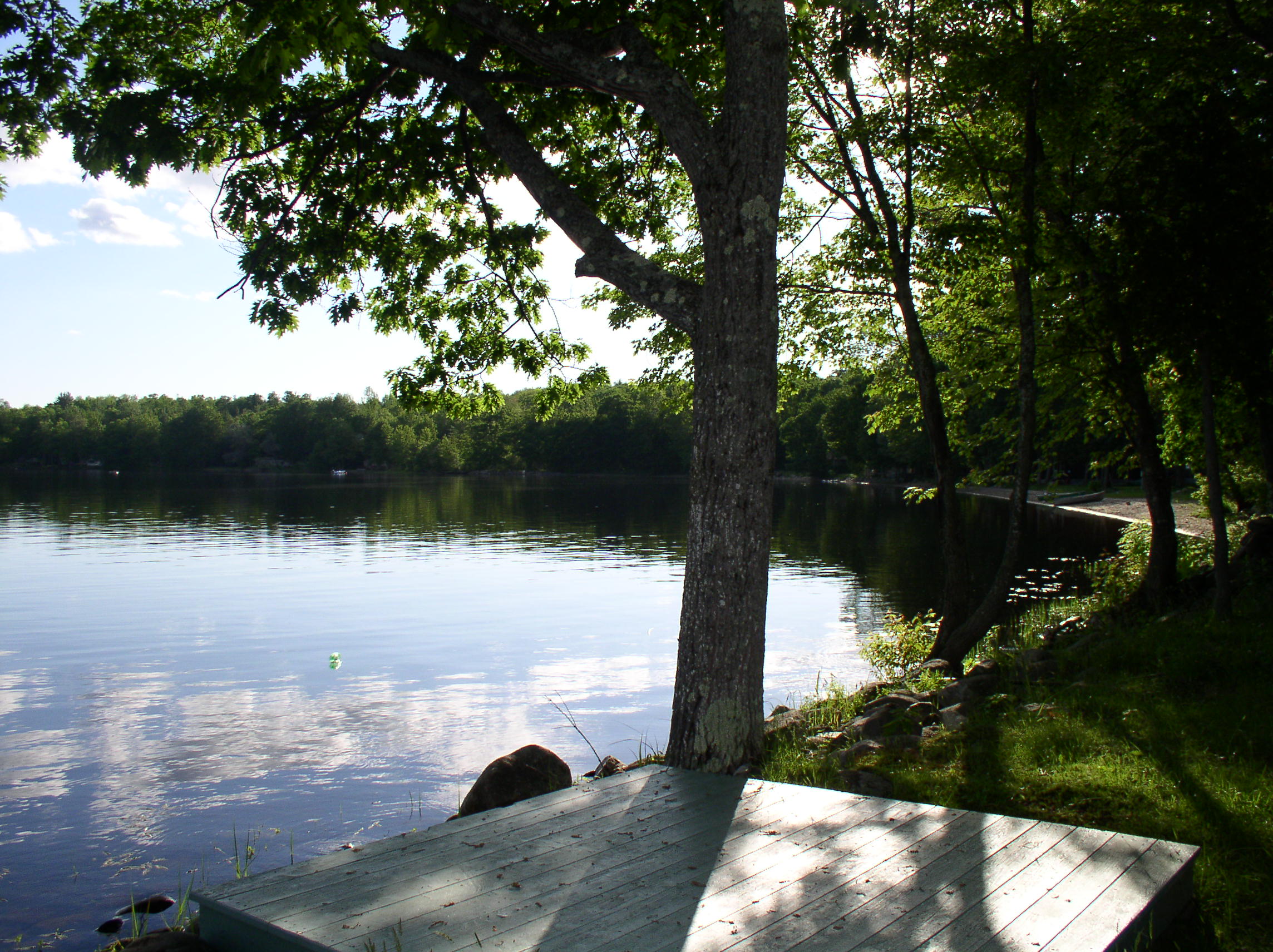
View from 2nd story

Sunset from the side-view mirror

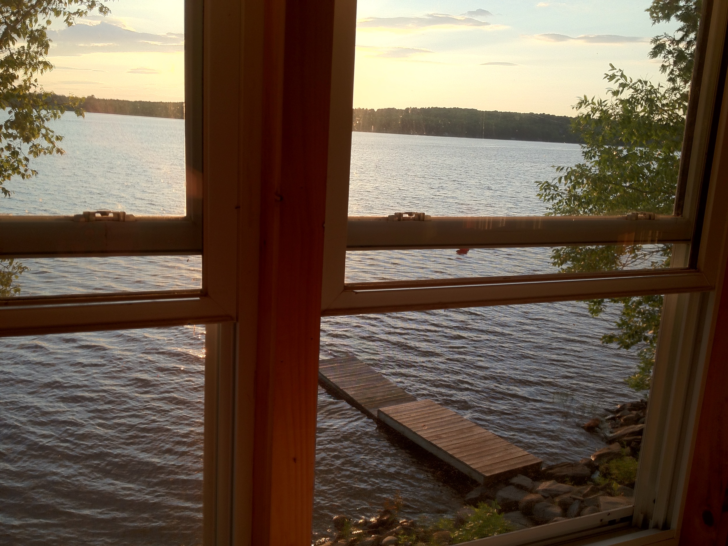
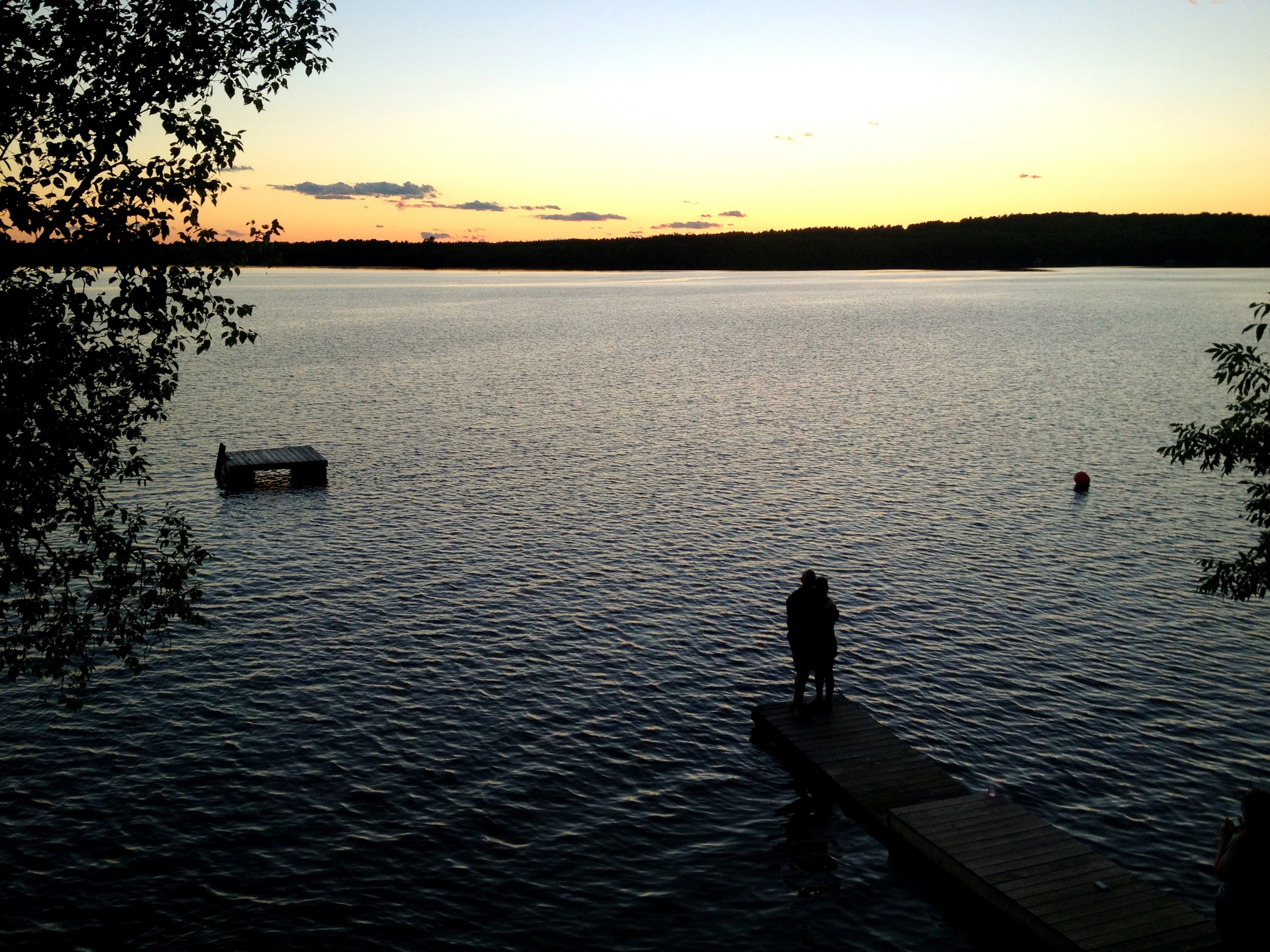
lake view, left
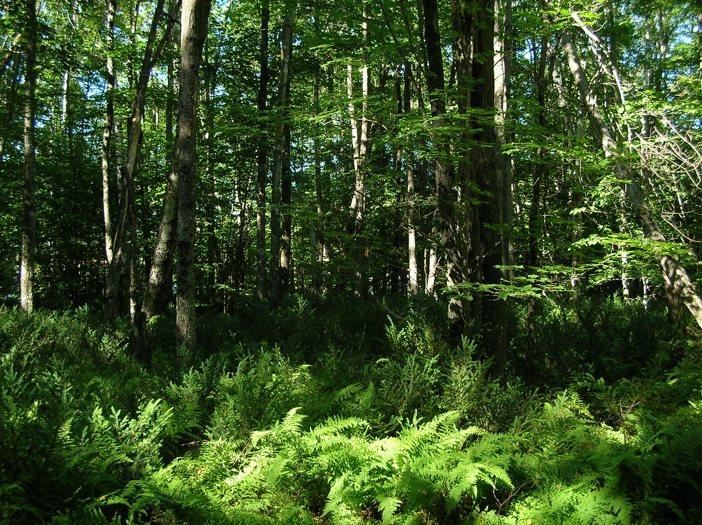
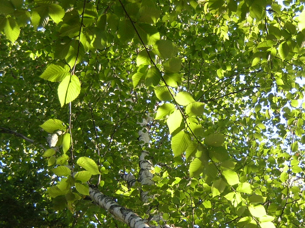
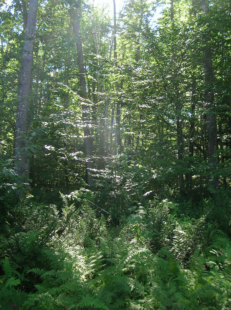
trees and ferns
2014 10 08 USA ME Palmyra 76R
2015 11 02 USA ME Palmyra - out for a walk
hammock view of a birch on Birch Island

Some pics of my landscapes

Chris and Anne

Sunset over Unity Pond

Fall At Lake Winnecook

Sunset - HDR

Sunset over Unity Pond

Sunset over Unity Pond
Unity Pond Sunset

Sunset over Unity Pond

Sunset over Unity Pond
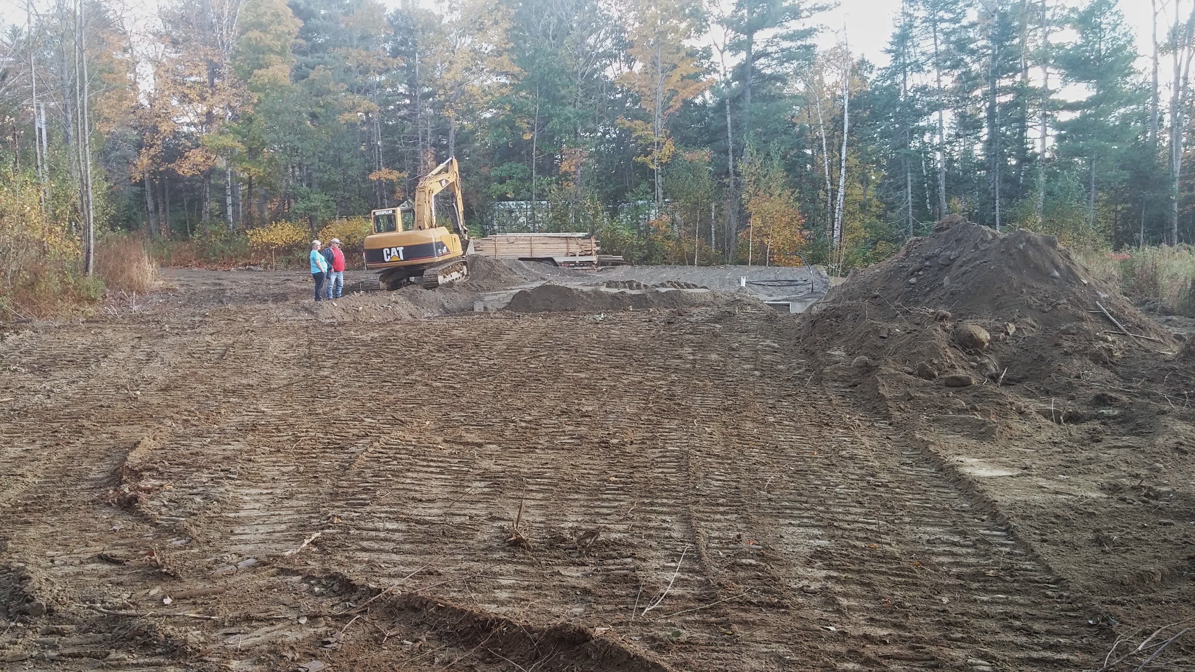
The stairs were delivered.

Unity Pond Sunset
Lake Winnecook in June
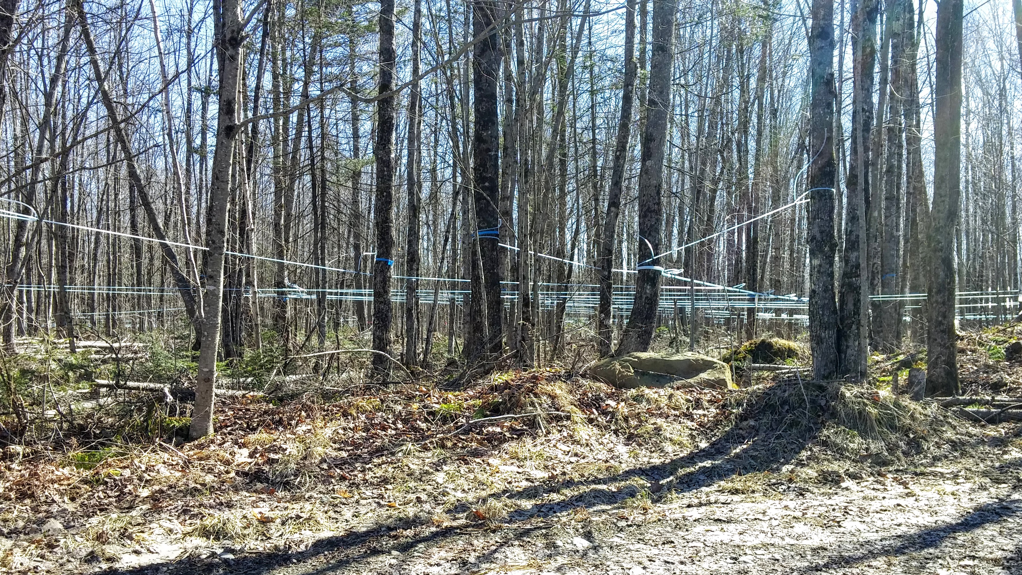
Maple Syrup 0320161319b

Unity Pond sunset
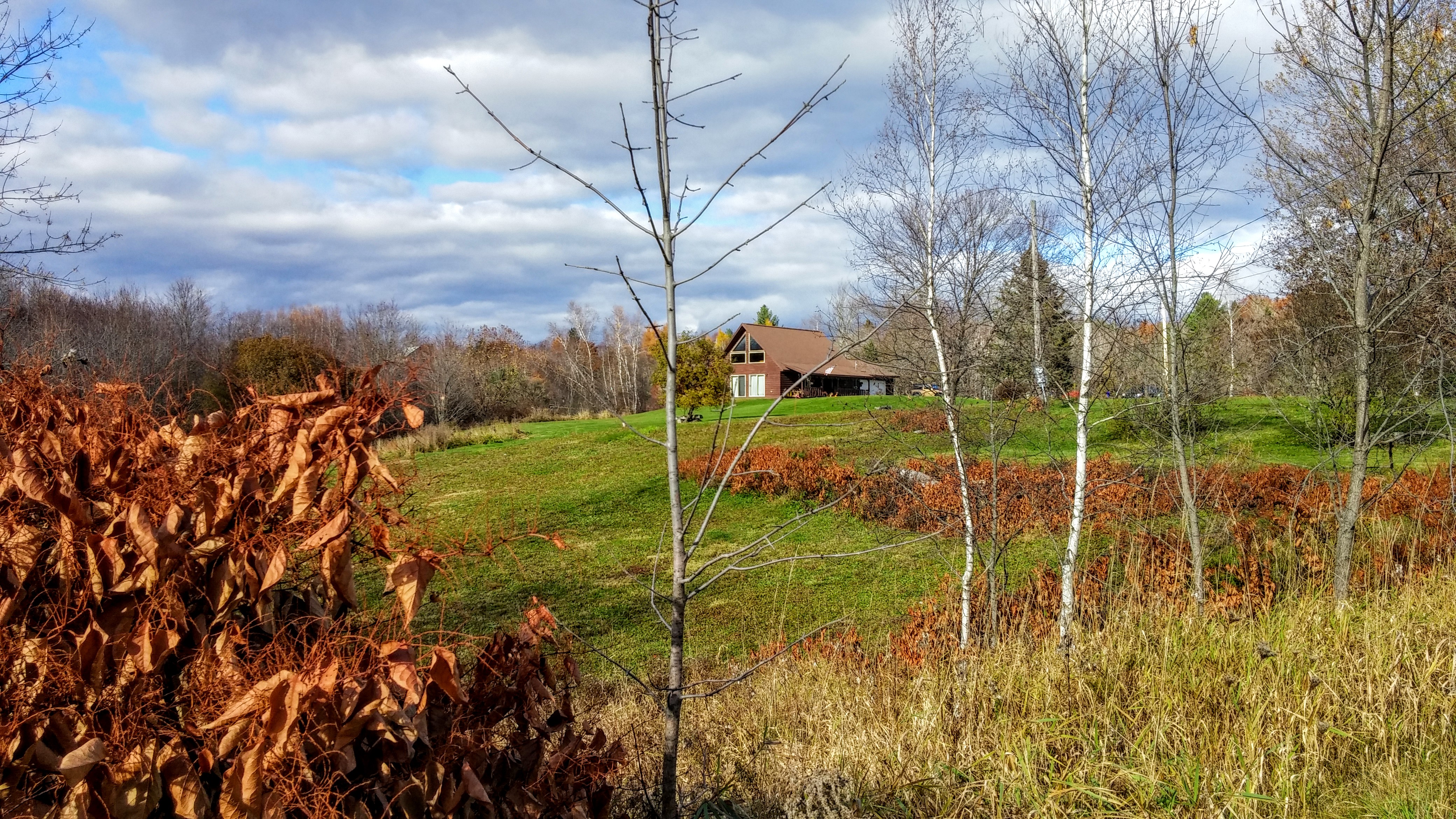
nice light at the edge of the woods
2015 11 02 USA ME Palmyra - out for a walk

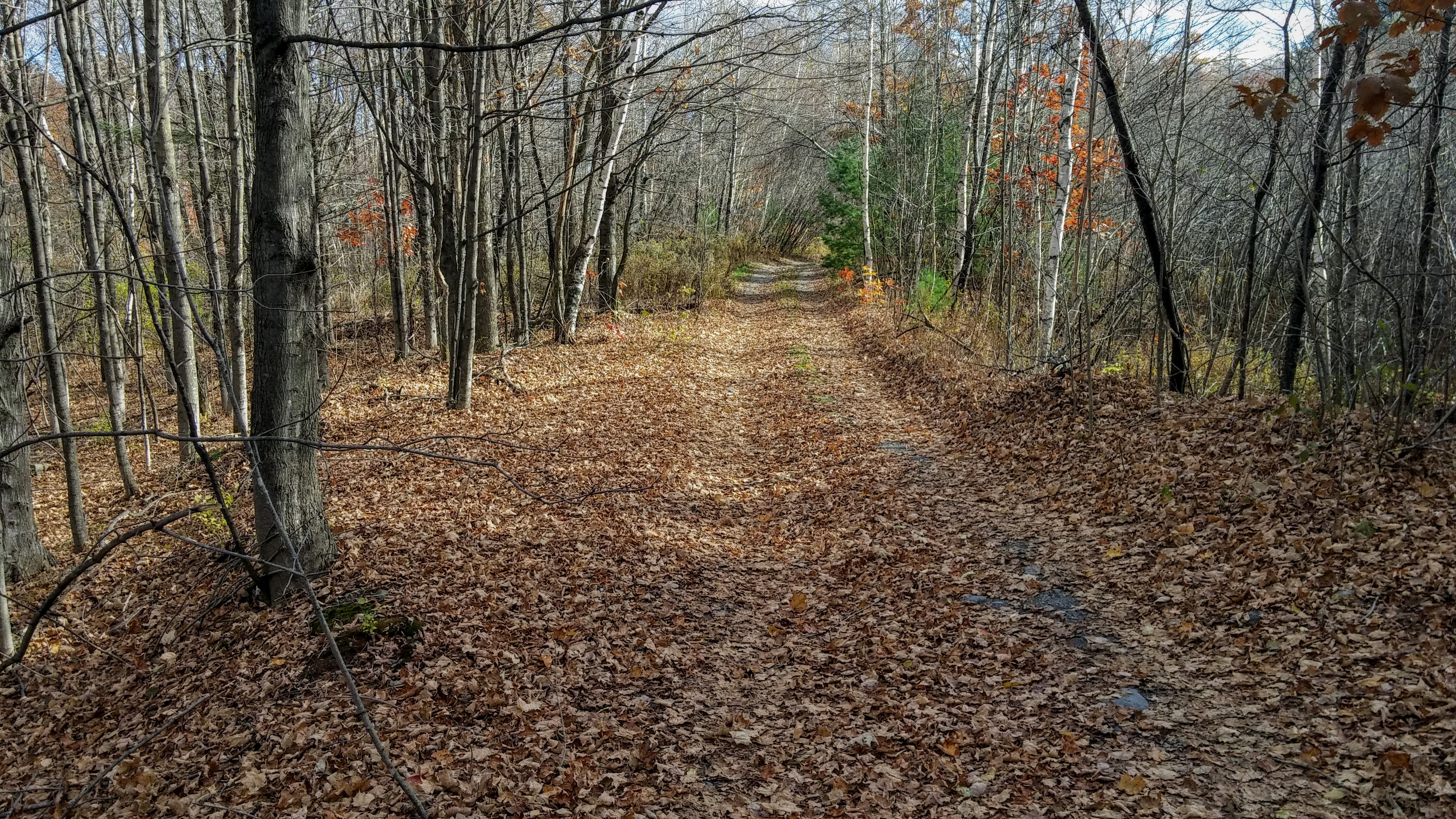
2015 11 04 USA ME Palmyra - walk through forest
2015 11 04 USA ME Palmyra - walk through forest
Topographic Map of Pittsfield, Pittsfield, ME, USA
Find elevation by address:

Places in Pittsfield, Pittsfield, ME, USA:
Places near Pittsfield, Pittsfield, ME, USA:
Pittsfield
118 Manson St
118 Manson St
199 Library St
165 Summer St
129 Morrill St
200 Chester St
Morrill Street
110 Noble Ct
265 Me-69
265 Me-69
137 Highland St
Waverly Ave, Pittsfield, ME, USA
371 Waverly Ave
18 Crawford Rd, Pittsfield, ME, USA
236 Madawaska Rd
Pittsfield
Canaan Rd, Pittsfield, ME, USA
Oxbow Rd, Palmyra, ME, USA
Rines Road
Recent Searches:
- Elevation of Gateway Blvd SE, Canton, OH, USA
- Elevation of East W.T. Harris Boulevard, E W.T. Harris Blvd, Charlotte, NC, USA
- Elevation of West Sugar Creek, Charlotte, NC, USA
- Elevation of Wayland, NY, USA
- Elevation of Steadfast Ct, Daphne, AL, USA
- Elevation of Lagasgasan, X+CQH, Tiaong, Quezon, Philippines
- Elevation of Rojo Ct, Atascadero, CA, USA
- Elevation of Flagstaff Drive, Flagstaff Dr, North Carolina, USA
- Elevation of Avery Ln, Lakeland, FL, USA
- Elevation of Woolwine, VA, USA