Elevation of Maloney Rd, Pinconning, MI, USA
Location: United States > Michigan > Bay County > Pinconning Township >
Longitude: -83.930823
Latitude: 43.8559938
Elevation: 178m / 584feet
Barometric Pressure: 99KPa
Elevation Map:
Satellite Map:
Related Photos:
Threatening Skies
Standish, Michigan

Small Flowers near Saginaw Bay
Stateley Standish Station: 3

Corn & Clouds / Riffle River bound. ✋ #puremichigan #travelstache

Nayanquing Point
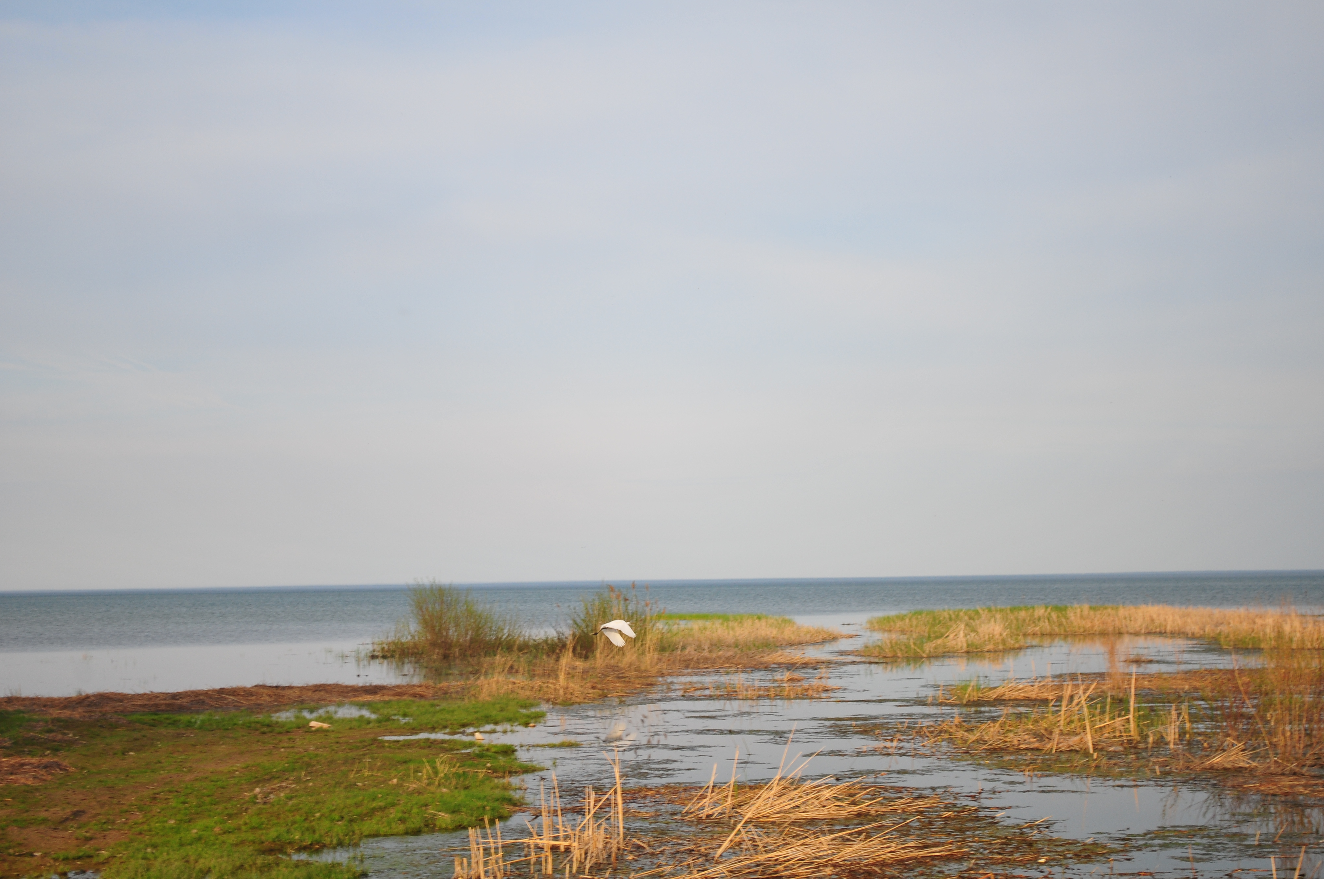
the saginaw bay
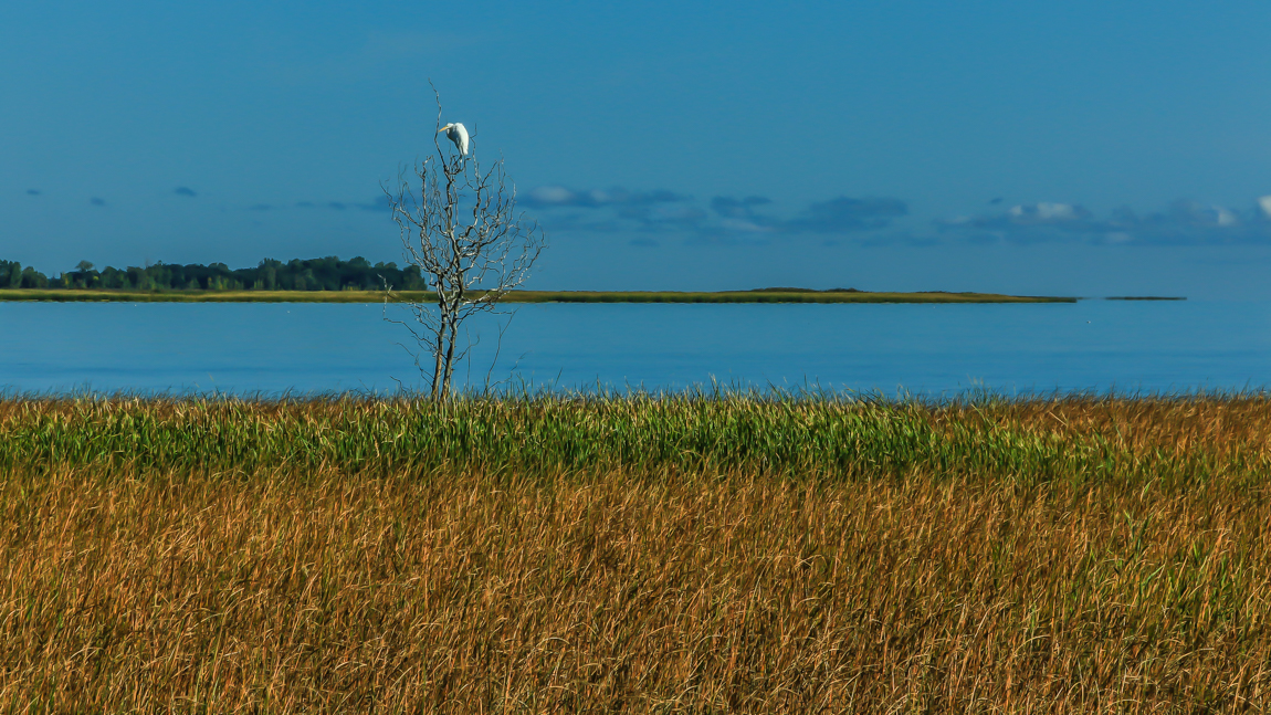
Taking flight
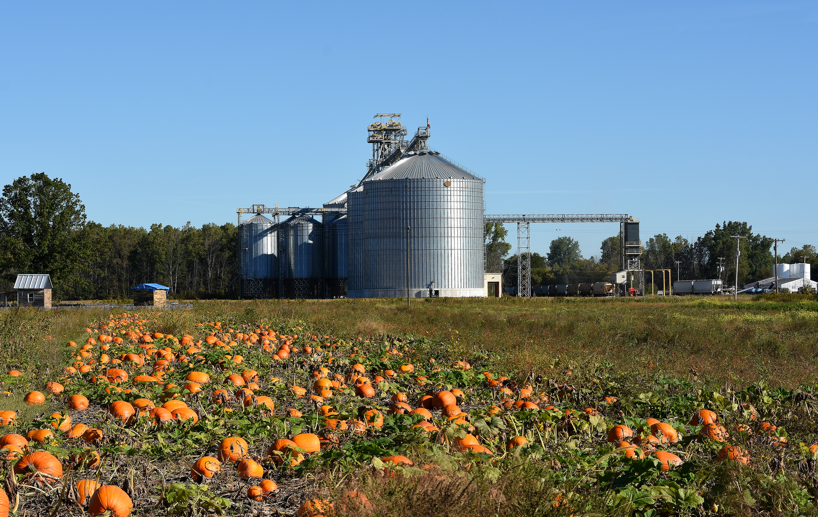
Orange Patch Job
Sitting Alone-3633
Topographic Map of Maloney Rd, Pinconning, MI, USA
Find elevation by address:

Places near Maloney Rd, Pinconning, MI, USA:
Lakeside Drive
4958 Lakeside Dr
Pinconning Township
Linwood
Standish
W Cody Estey Rd, Pinconning, MI, USA
Brissette Beach Rd, Kawkawlin, MI, USA
Bay County
South Mackinaw Road
Kawkawlin
Crump
Mount Forest Township
1440 E Beaver Rd
Saginaw St, Sterling, MI, USA
W Parish Rd, Auburn, MI, USA
1100 9 Mile Rd
337 River Rd
Kawkawlin
Garfield Township
Wigwam Bay State Wildlife Area
Recent Searches:
- Elevation of Corso Fratelli Cairoli, 35, Macerata MC, Italy
- Elevation of Tallevast Rd, Sarasota, FL, USA
- Elevation of 4th St E, Sonoma, CA, USA
- Elevation of Black Hollow Rd, Pennsdale, PA, USA
- Elevation of Oakland Ave, Williamsport, PA, USA
- Elevation of Pedrógão Grande, Portugal
- Elevation of Klee Dr, Martinsburg, WV, USA
- Elevation of Via Roma, Pieranica CR, Italy
- Elevation of Tavkvetili Mountain, Georgia
- Elevation of Hartfords Bluff Cir, Mt Pleasant, SC, USA