Elevation of Mallard Way, Auburn, CA, USA
Location: United States > California > Placer County > Auburn >
Longitude: -121.13232
Latitude: 38.994292
Elevation: 429m / 1407feet
Barometric Pressure: 96KPa
Elevation Map:
Satellite Map:
Related Photos:
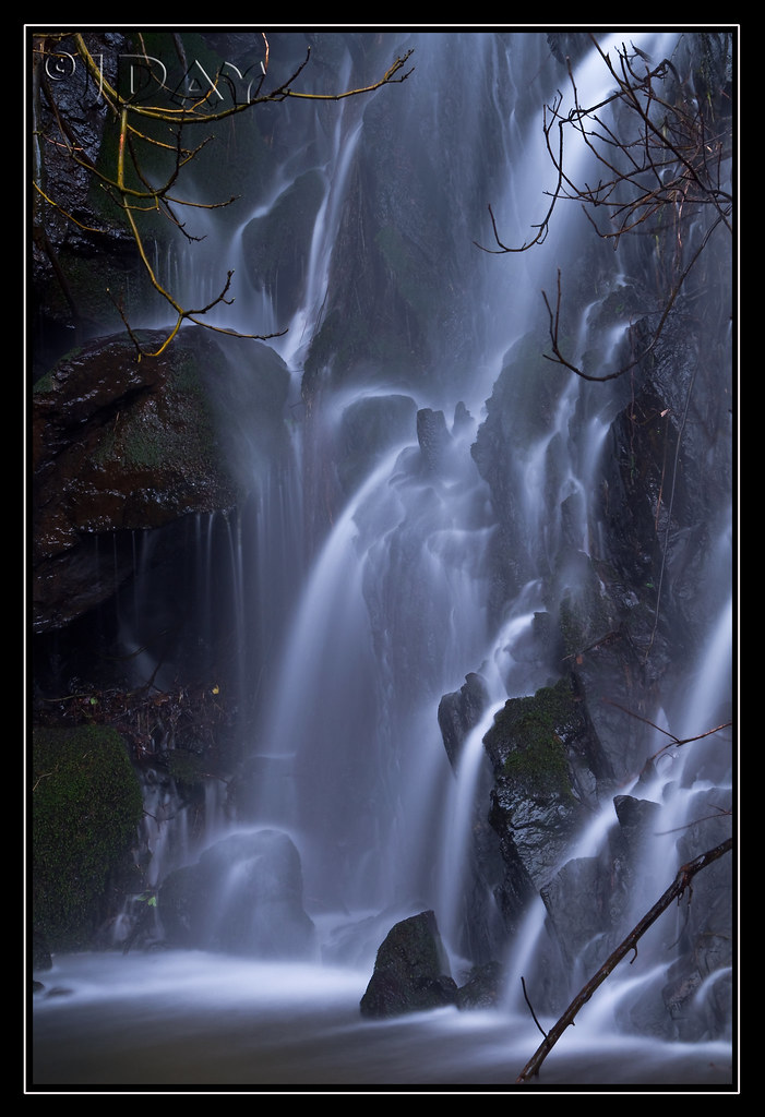
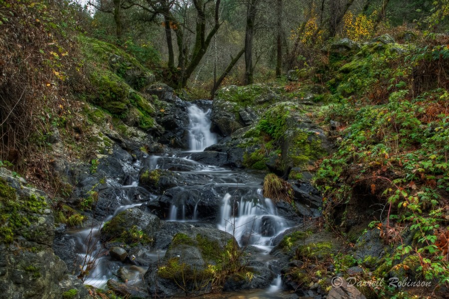
Grotto of the Falls
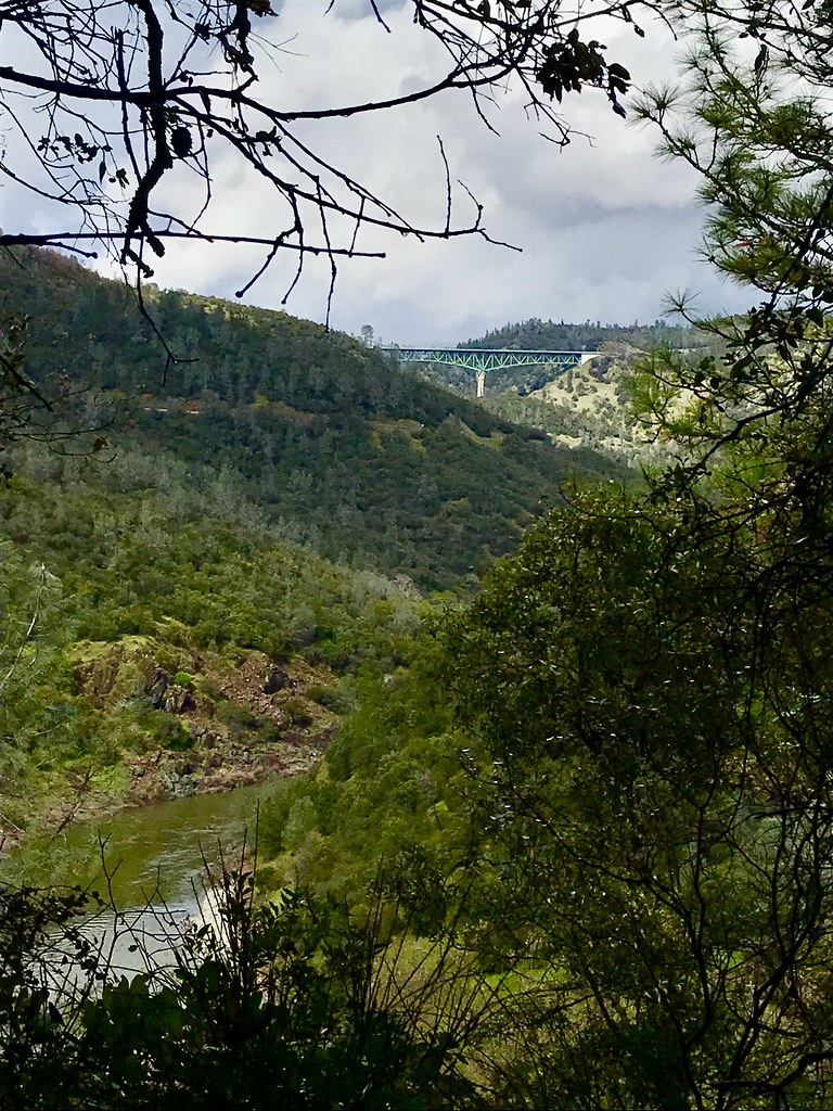
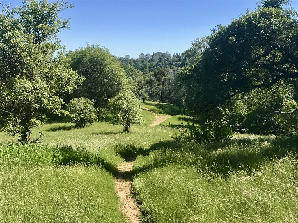
Trail View
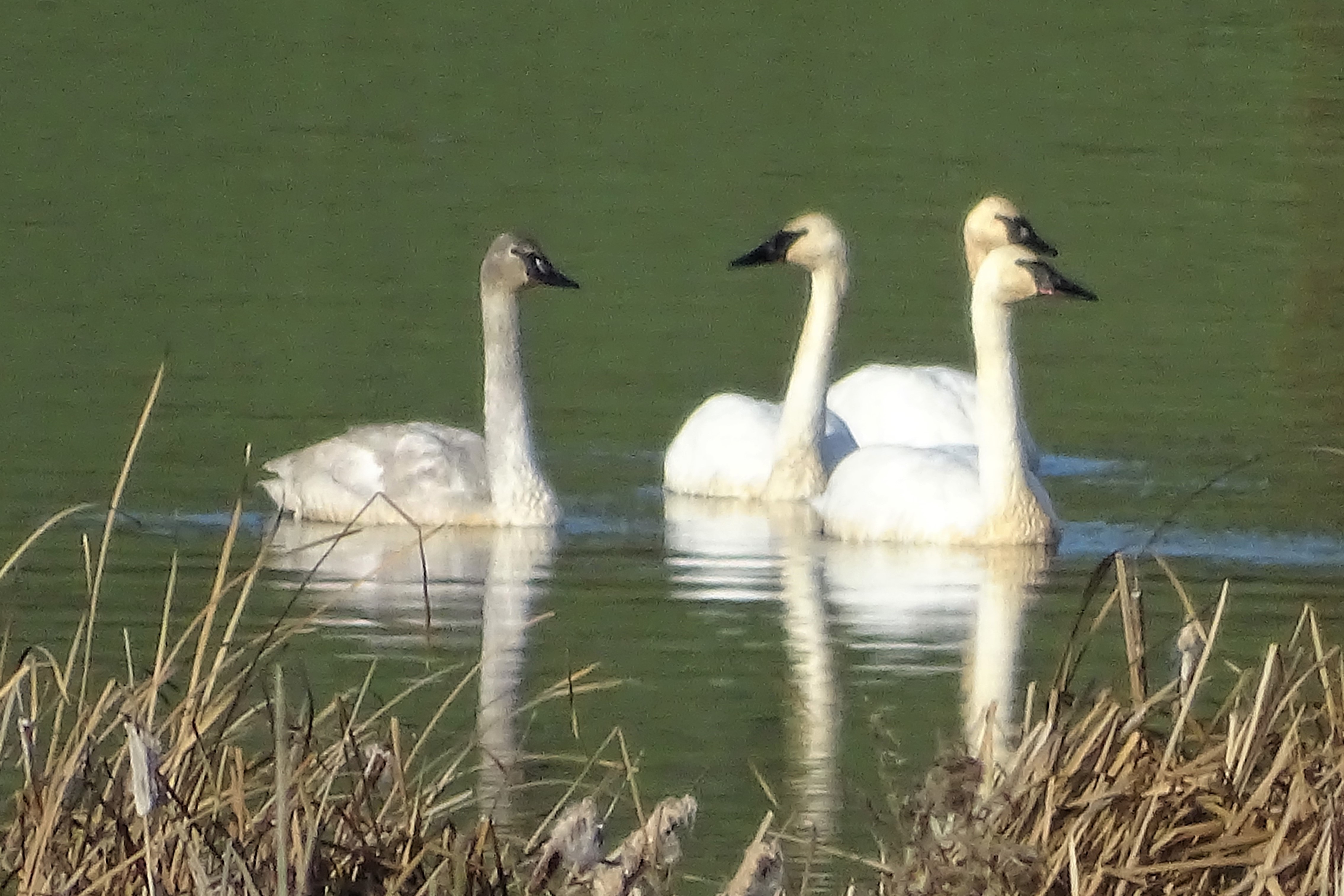
Trumpeter Swans--Cygnus buccinator
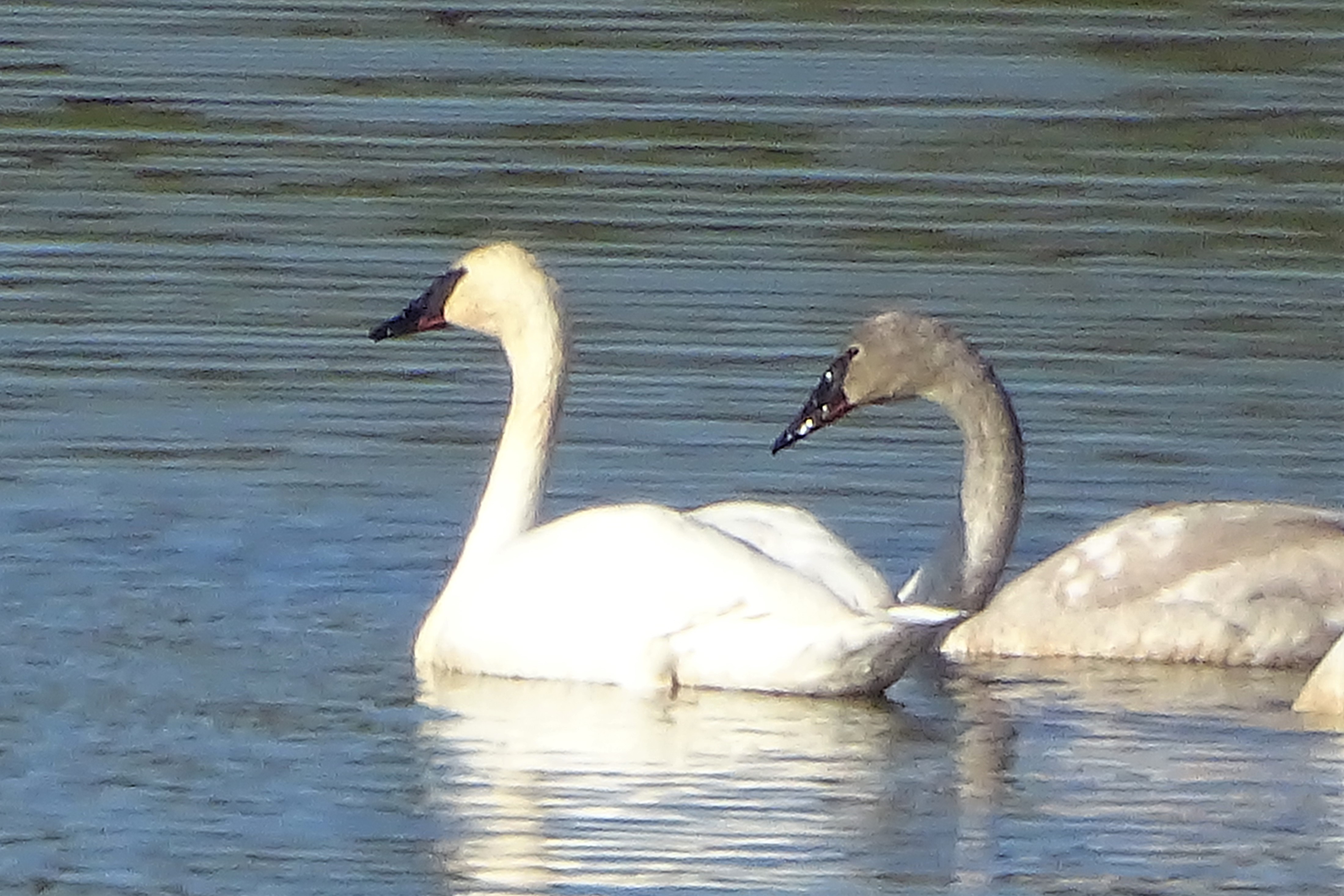
Trumpeter Swans--Cygnus buccinator

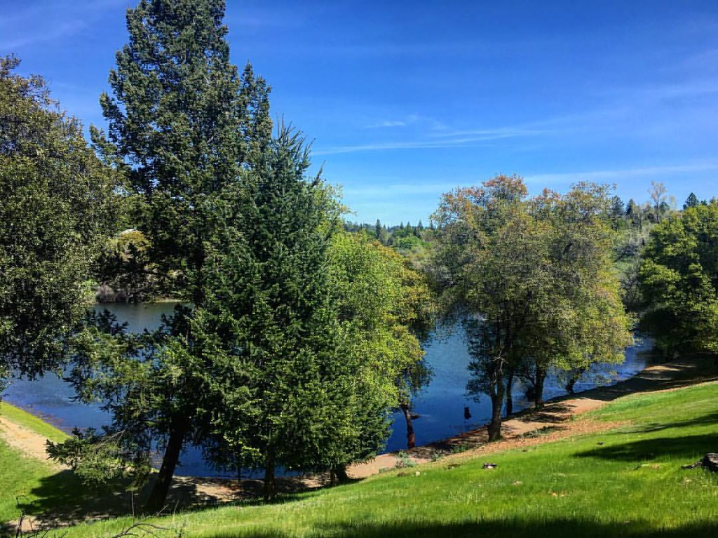
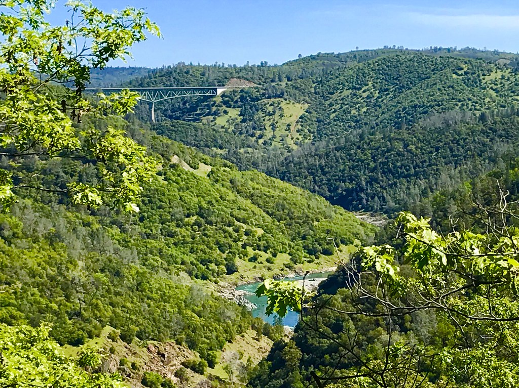
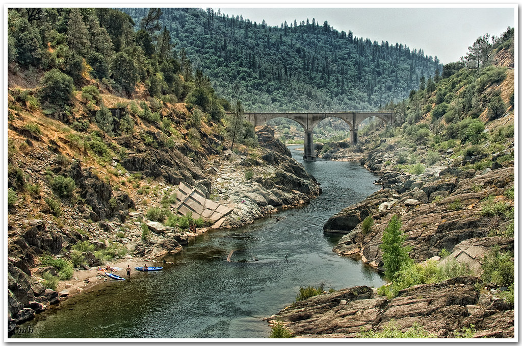
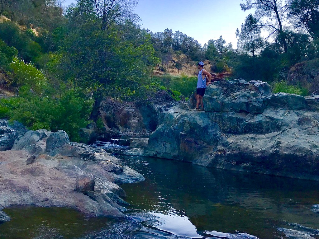
North Fork American River
Green. Blue. Good book. Good view. Perfect weather. #california #sunshine #view #peace #quiet
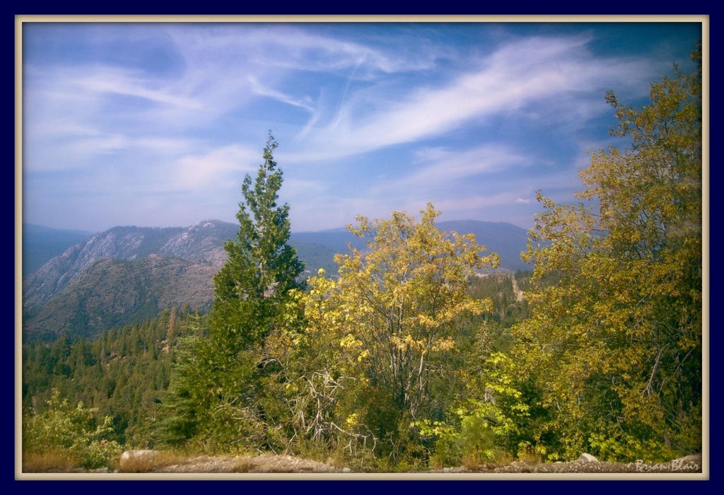
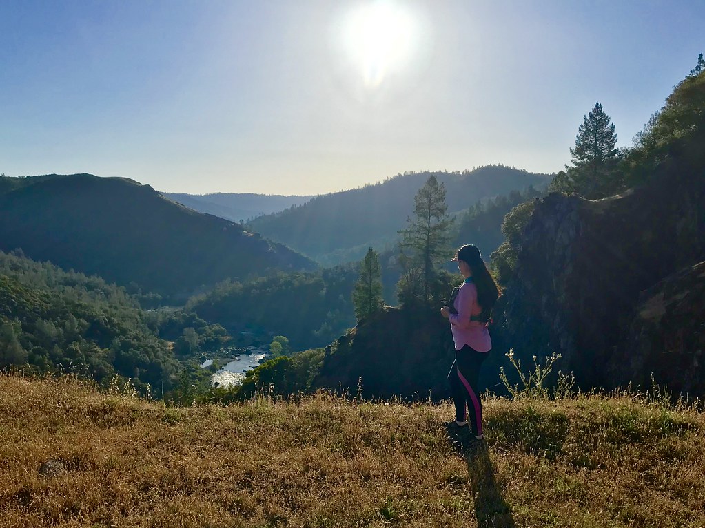
Mountain View
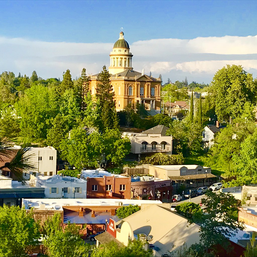
Courthouse View
Canyon View Preserve
From the Gold Country
Best rear view ever

The Auburn Courthouse
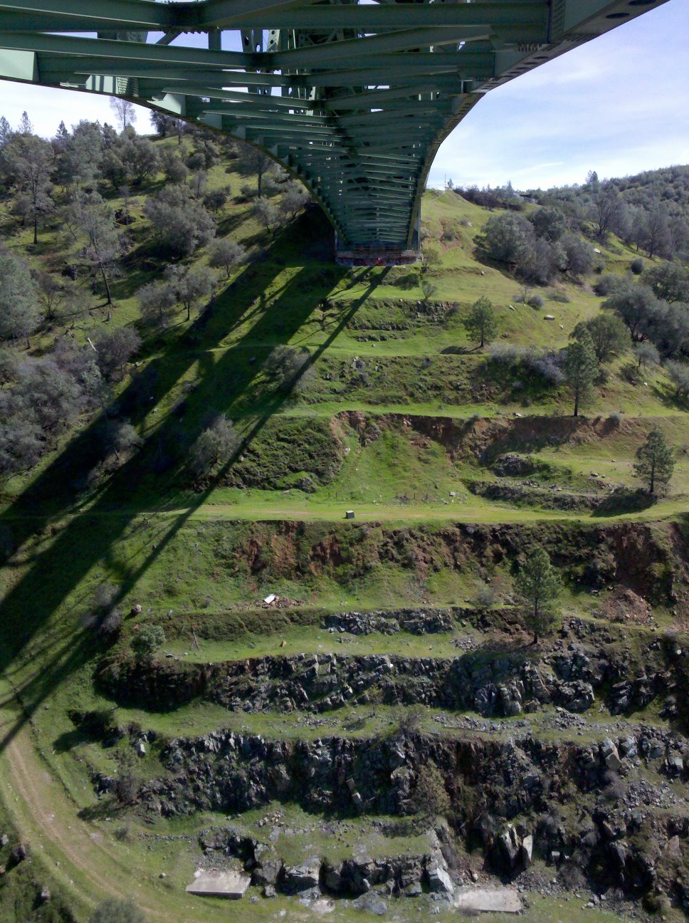
View towards east abutment
Upstream View
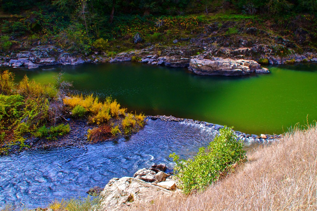
North Fork of American River

Couple-2059
Canyon View
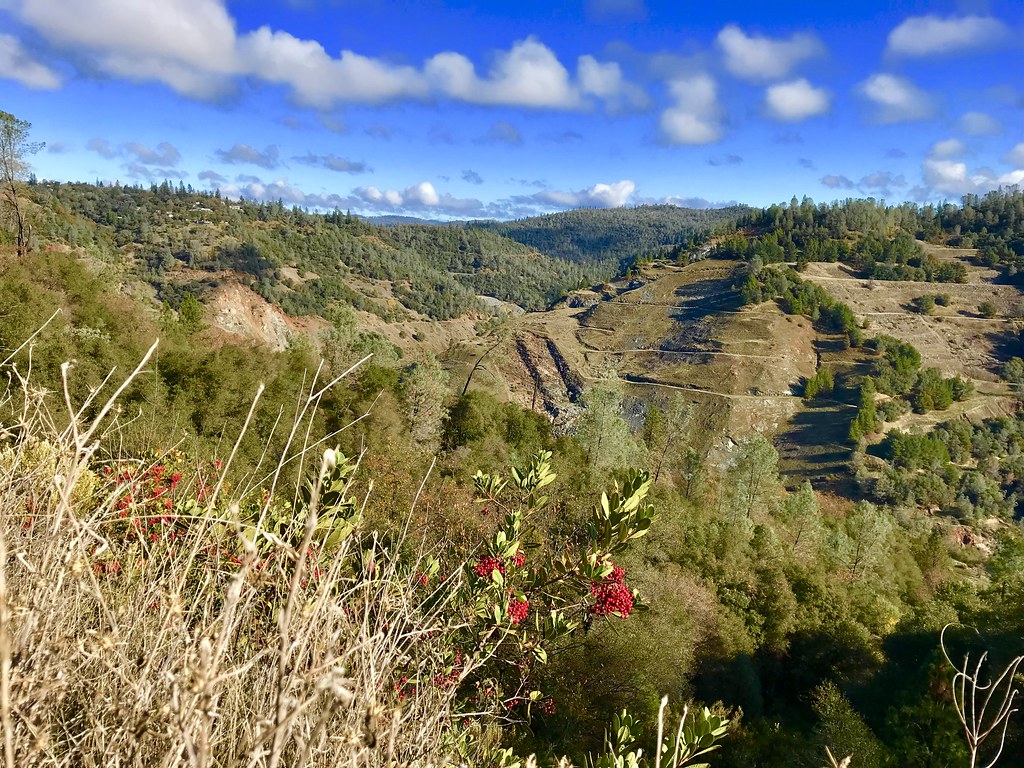
Scenes from Placer County
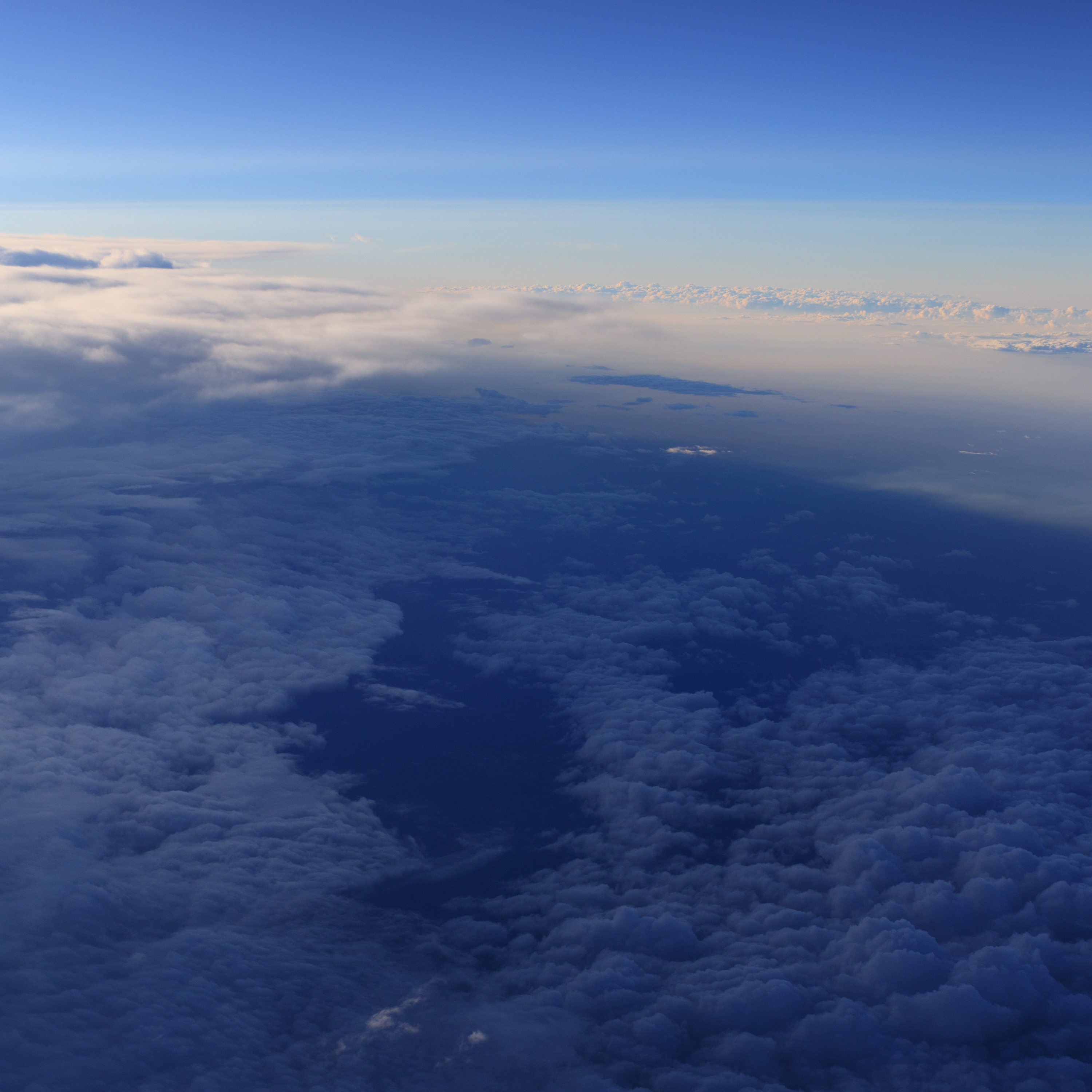
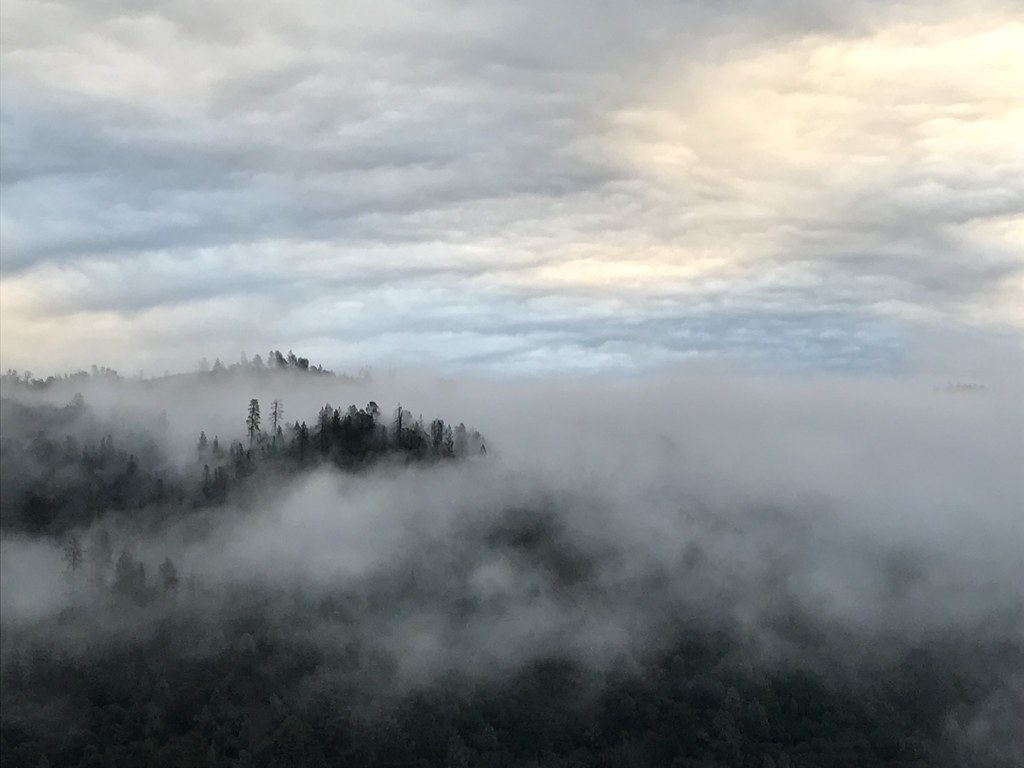
Aerial Views - Clouds above Auburn

Historic Placer County Courthouse
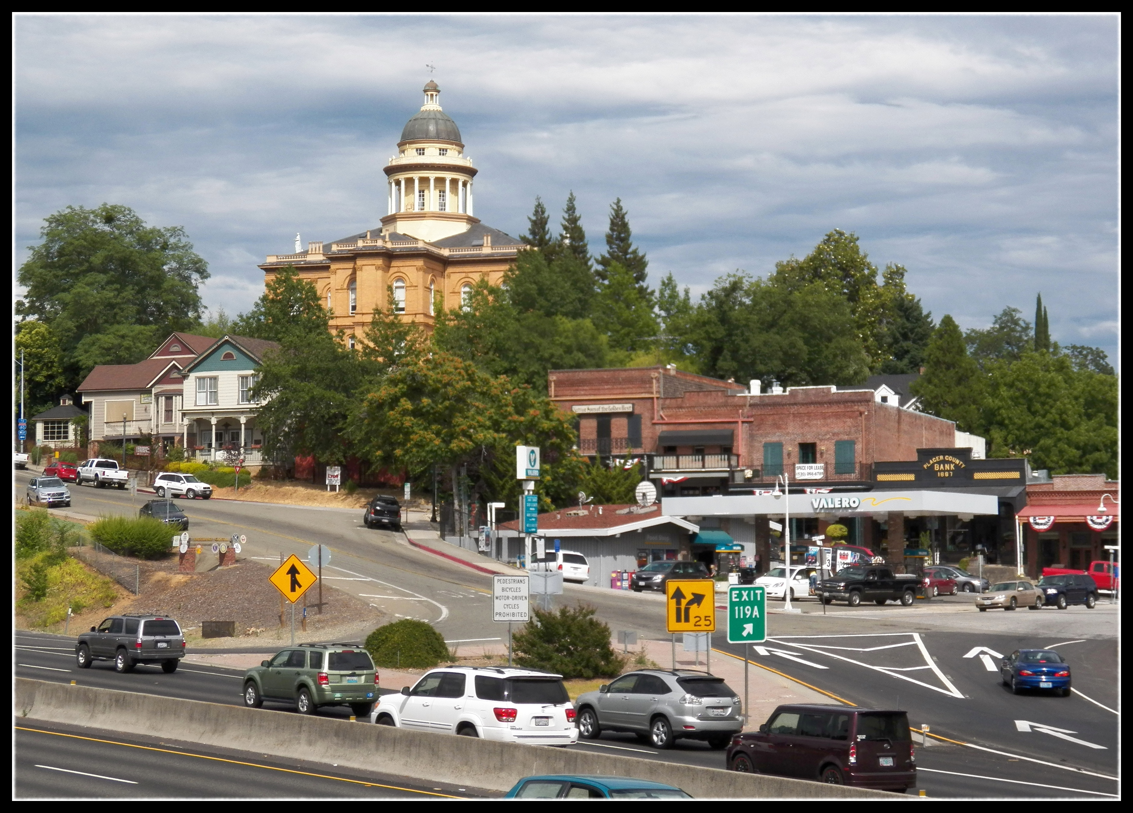
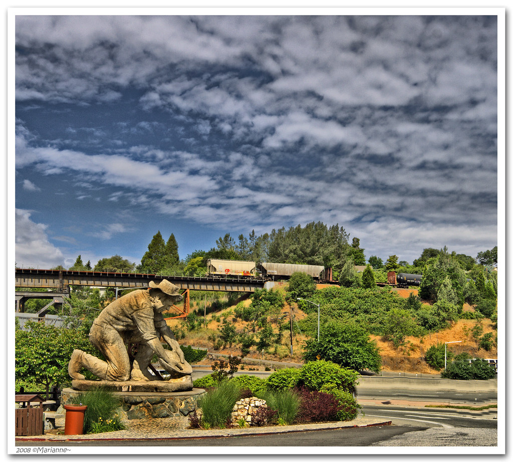
Central Auburn
No Hands Bridge
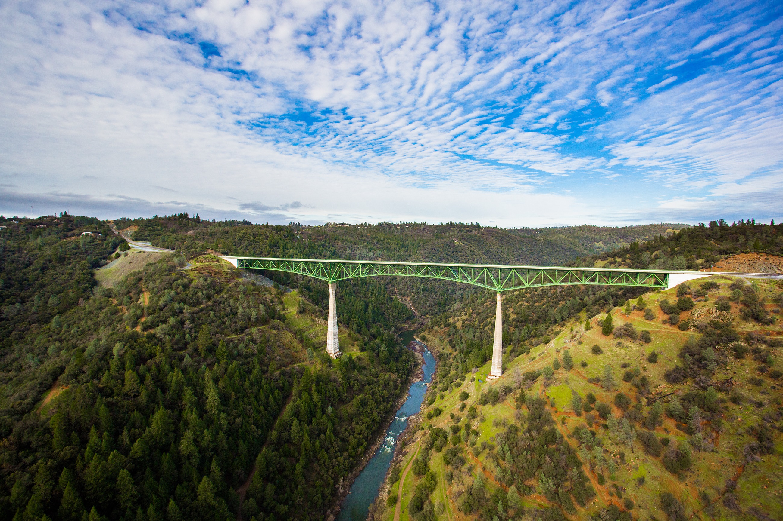
Foresthill Bridge
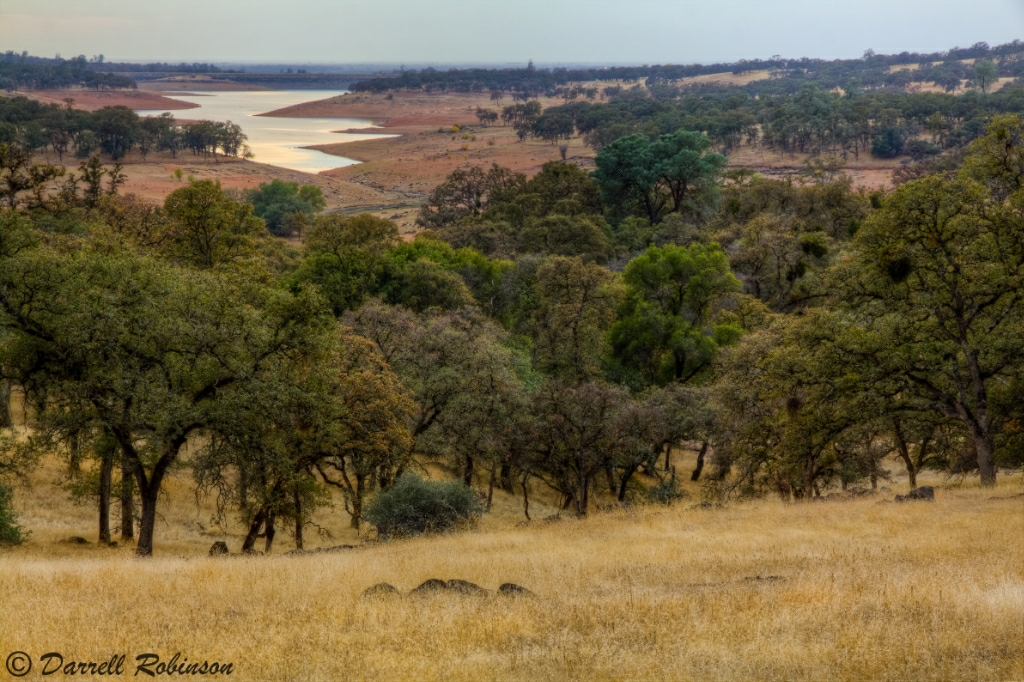
Oak Woodlands
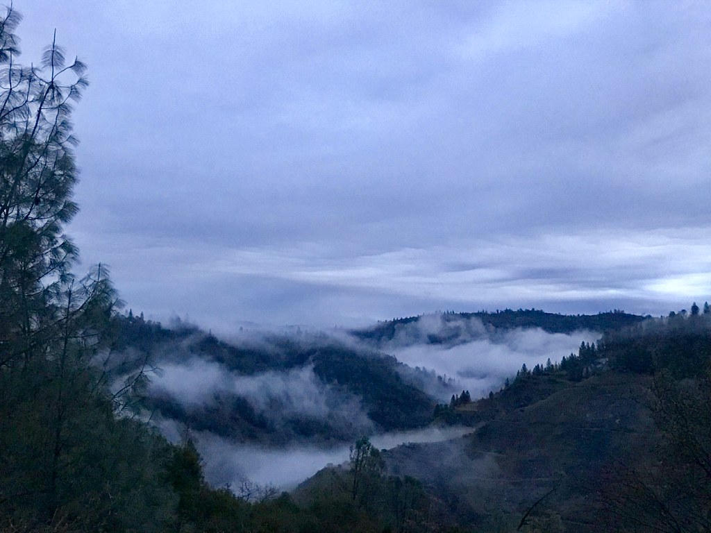
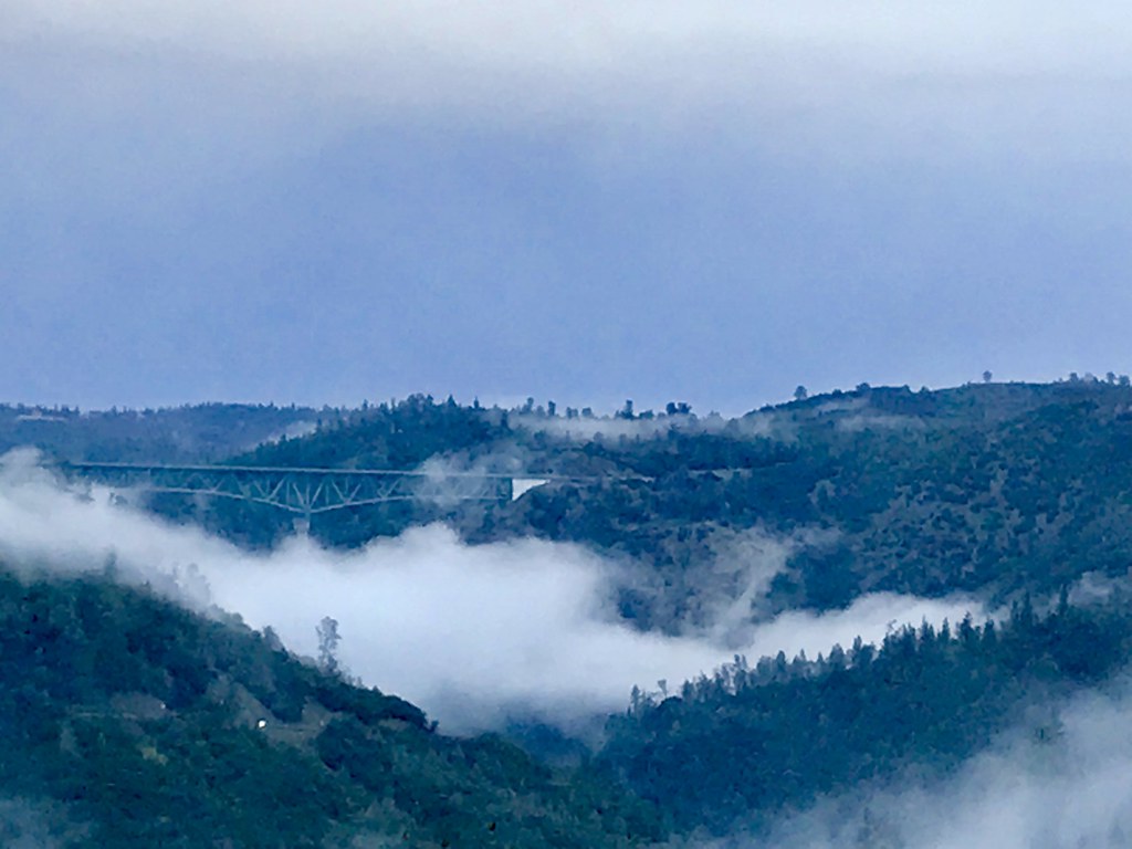
Canyon Clouds

Canyon Clouds
Pines Peaking Through

Curtis.Tasker-2010.01.01-00.47.36-7441.jpg
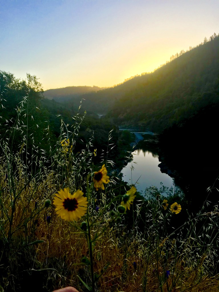
Sunrise on the American
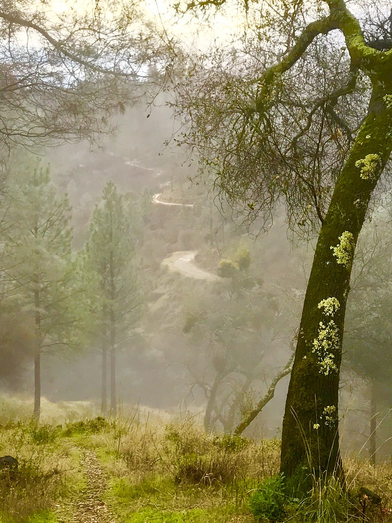
Misty Trail
Quarry Sunrise
Campbell Creek Cascade
It's going to be a great day
Bryan on the Rocks
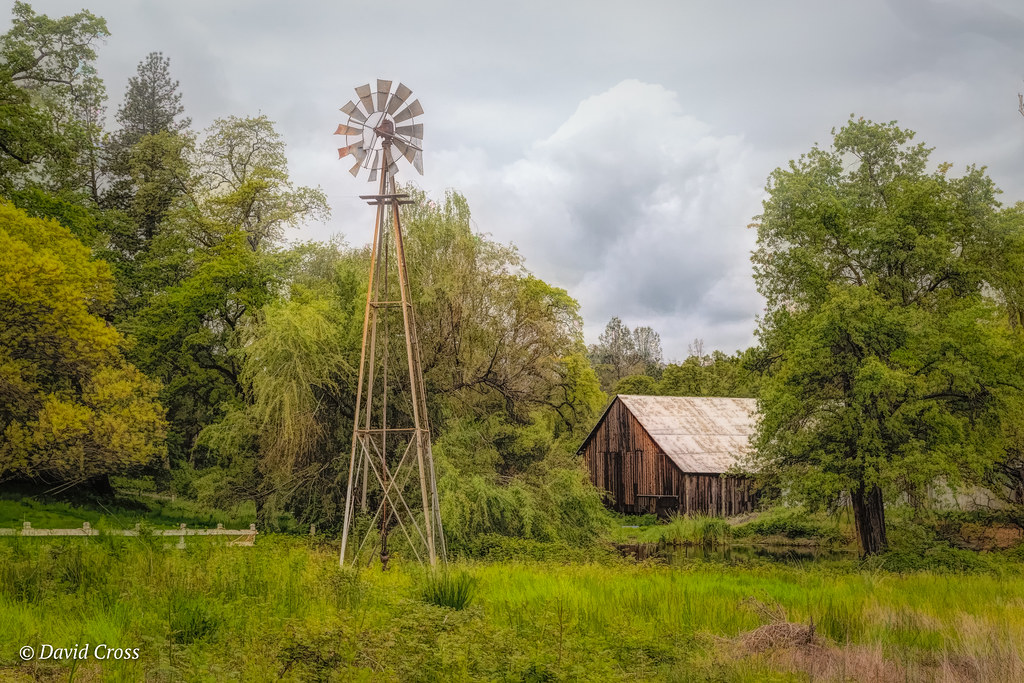
Down on the Farm

Cool Quarry
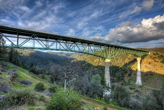
Forresthill Bridge
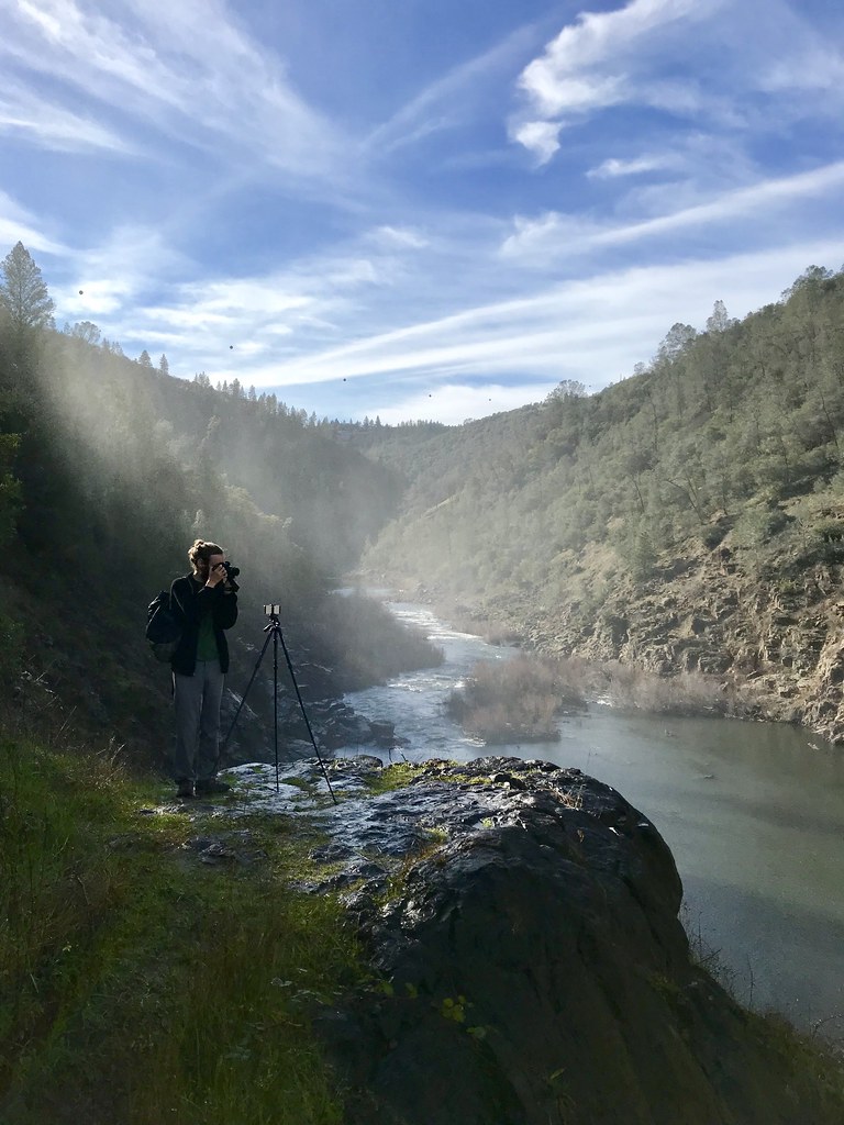
North Fork Photo Op
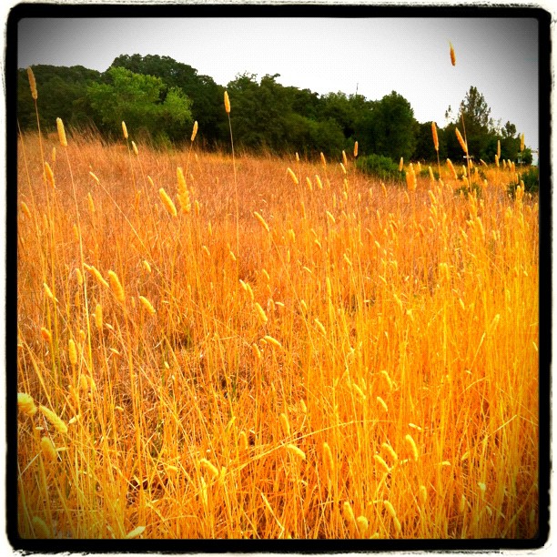
Amber waves
Topographic Map of Mallard Way, Auburn, CA, USA
Find elevation by address:

Places near Mallard Way, Auburn, CA, USA:
9846 Spyglass Cir
9597 Upper Valley Rd
6450 Eagle Ct
Lone Star Road
6890 Country Side Ln
6740 Estates Ct
7667 Sisson Ln
Sisson Lane
6900 Sisson Ln
6090 Sisson Ln
11600 Quail Rd
10777 Gautier Dr
10266 Gautier Dr
4011 Creekhaven Rd
10145 Coyote Ridge Ct
4363 Gambah Dr
14615 Mcelroy Rd
14585 Mcelroy Rd
Elders Corner
Dry Creek Rd, Auburn, CA, USA
Recent Searches:
- Elevation of Yellow Springs Road, Yellow Springs Rd, Chester Springs, PA, USA
- Elevation of Rēzekne Municipality, Latvia
- Elevation of Plikpūrmaļi, Vērēmi Parish, Rēzekne Municipality, LV-, Latvia
- Elevation of 2 Henschke Ct, Caboolture QLD, Australia
- Elevation of Redondo Ave, Long Beach, CA, USA
- Elevation of Sadovaya Ulitsa, 20, Rezh, Sverdlovskaya oblast', Russia
- Elevation of Ulitsa Kalinina, 79, Rezh, Sverdlovskaya oblast', Russia
- Elevation of 72-31 Metropolitan Ave, Middle Village, NY, USA
- Elevation of 76 Metropolitan Ave, Brooklyn, NY, USA
- Elevation of Alisal Rd, Solvang, CA, USA