Elevation of Makaura, Punjab, India
Location: India > Punjab > Pathankot >
Longitude: 75.3732807
Latitude: 32.1798509
Elevation: 259m / 850feet
Barometric Pressure: 98KPa
Elevation Map:
Satellite Map:
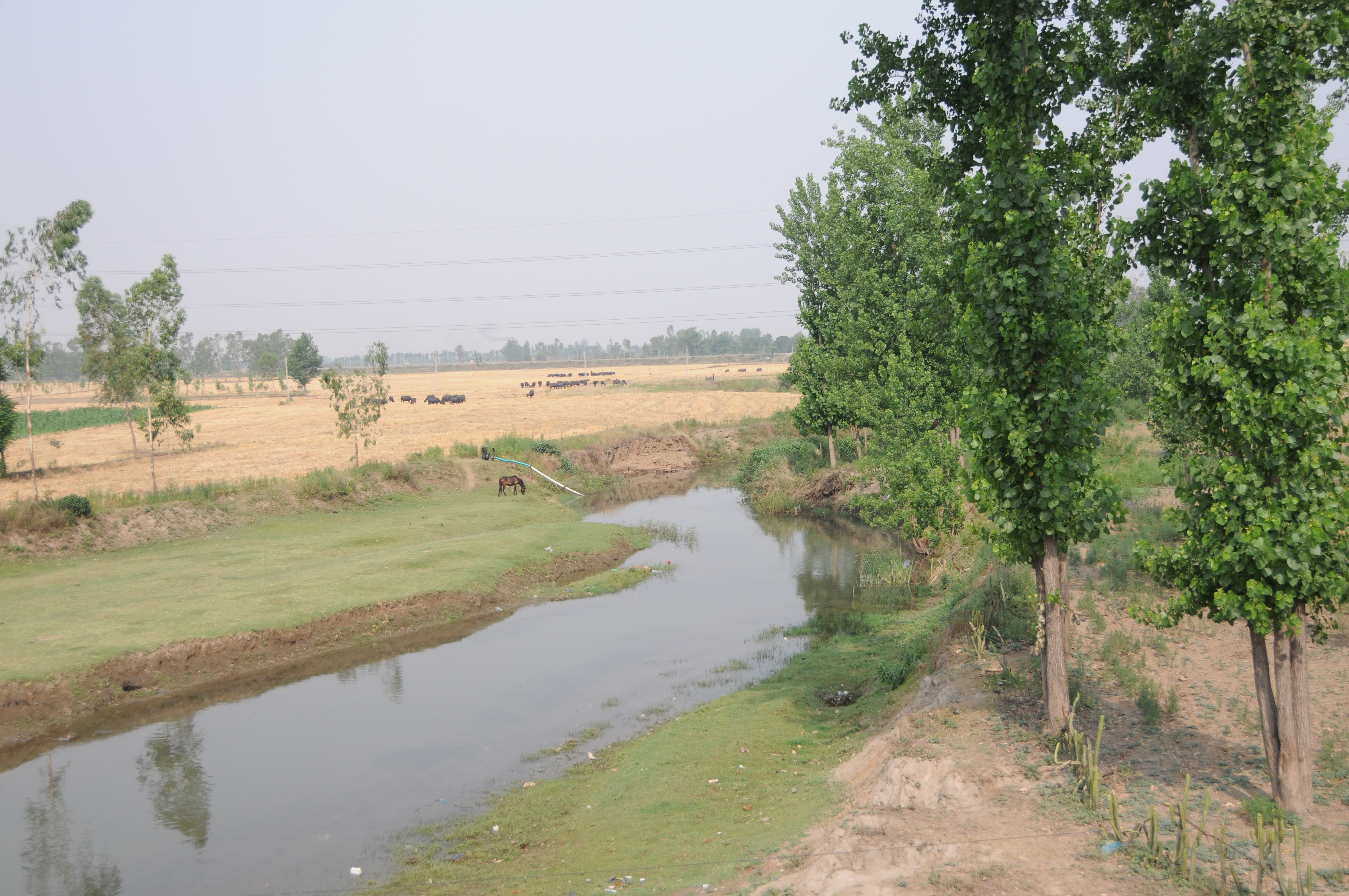
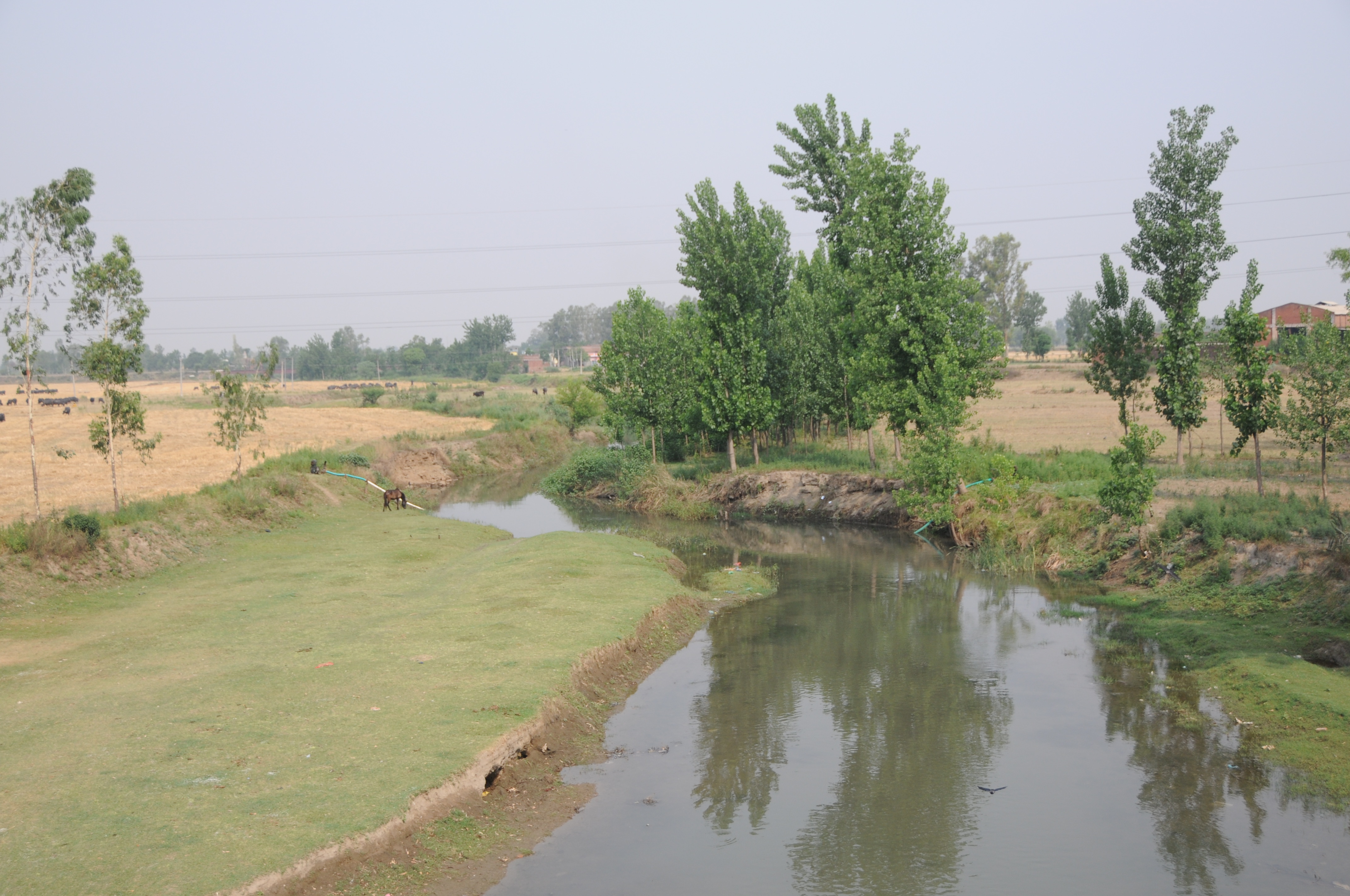
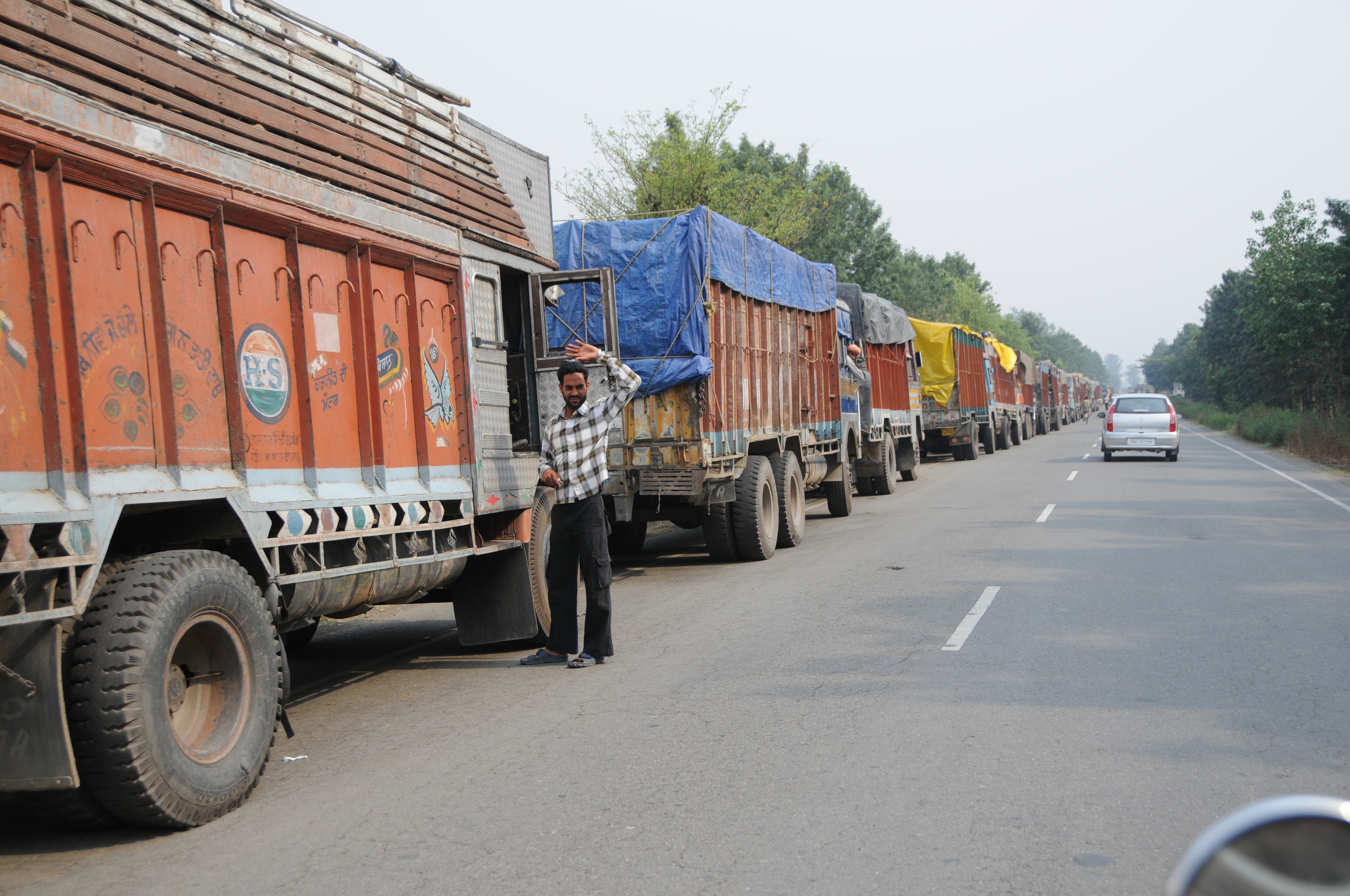
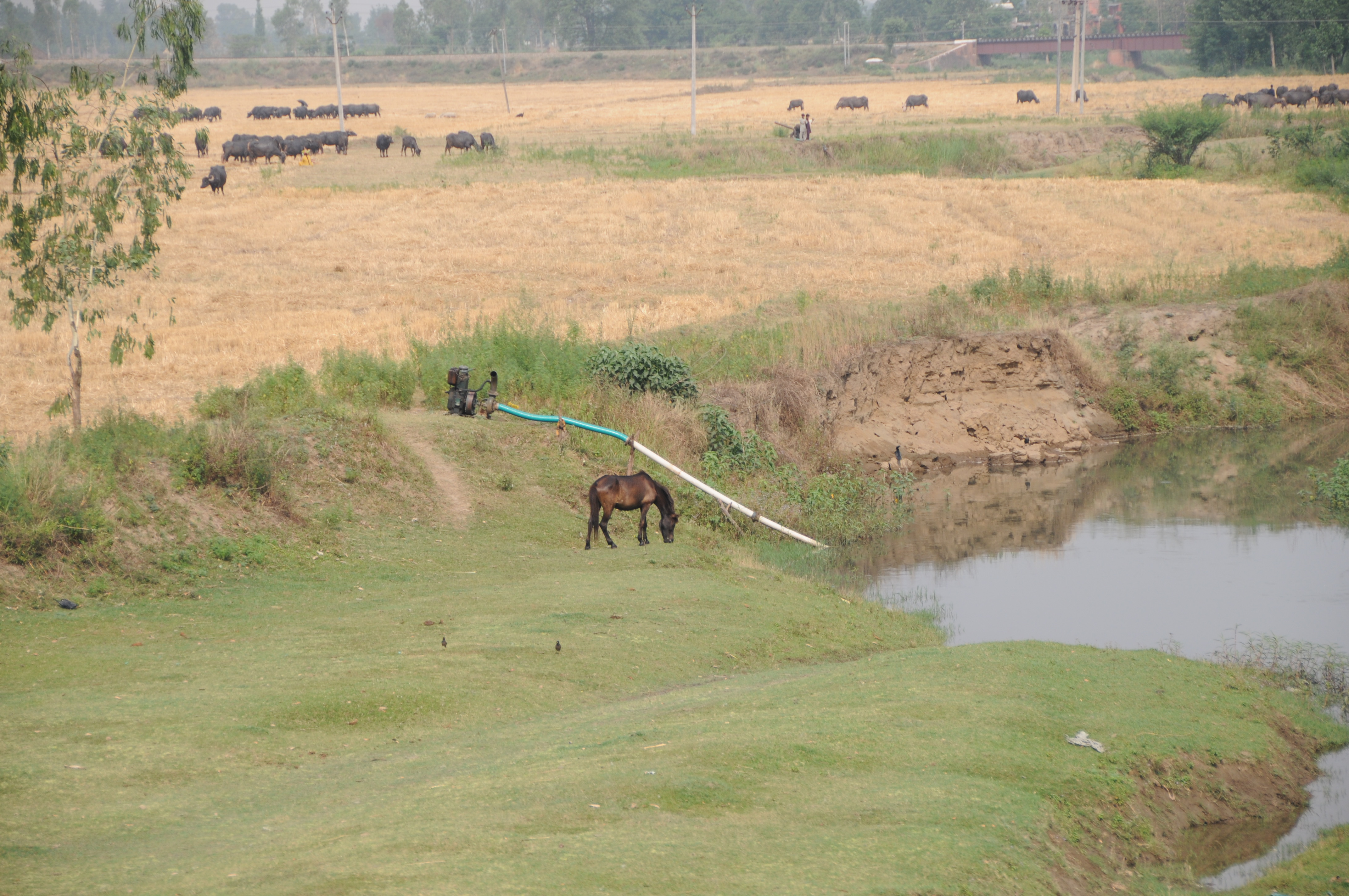
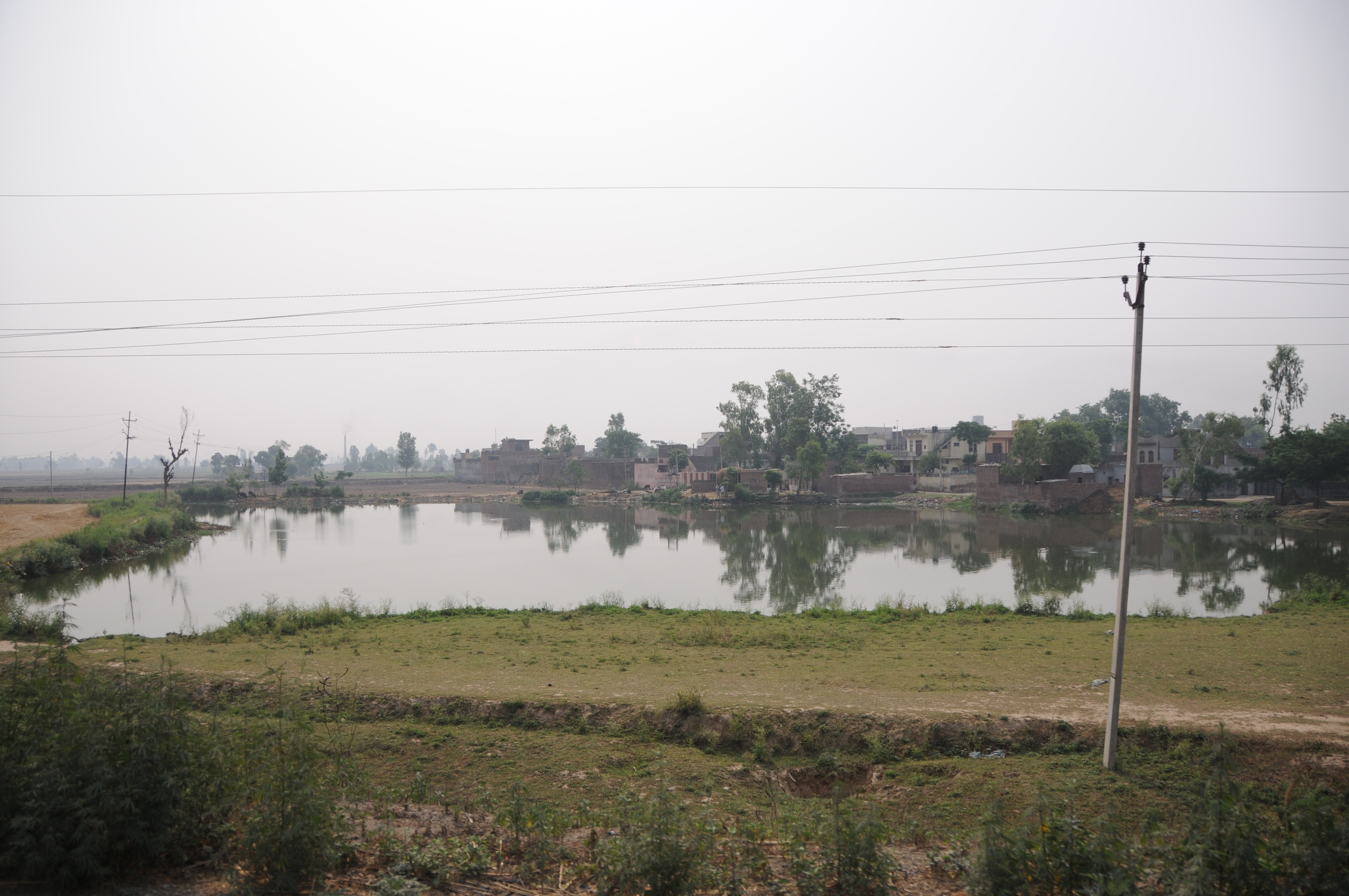
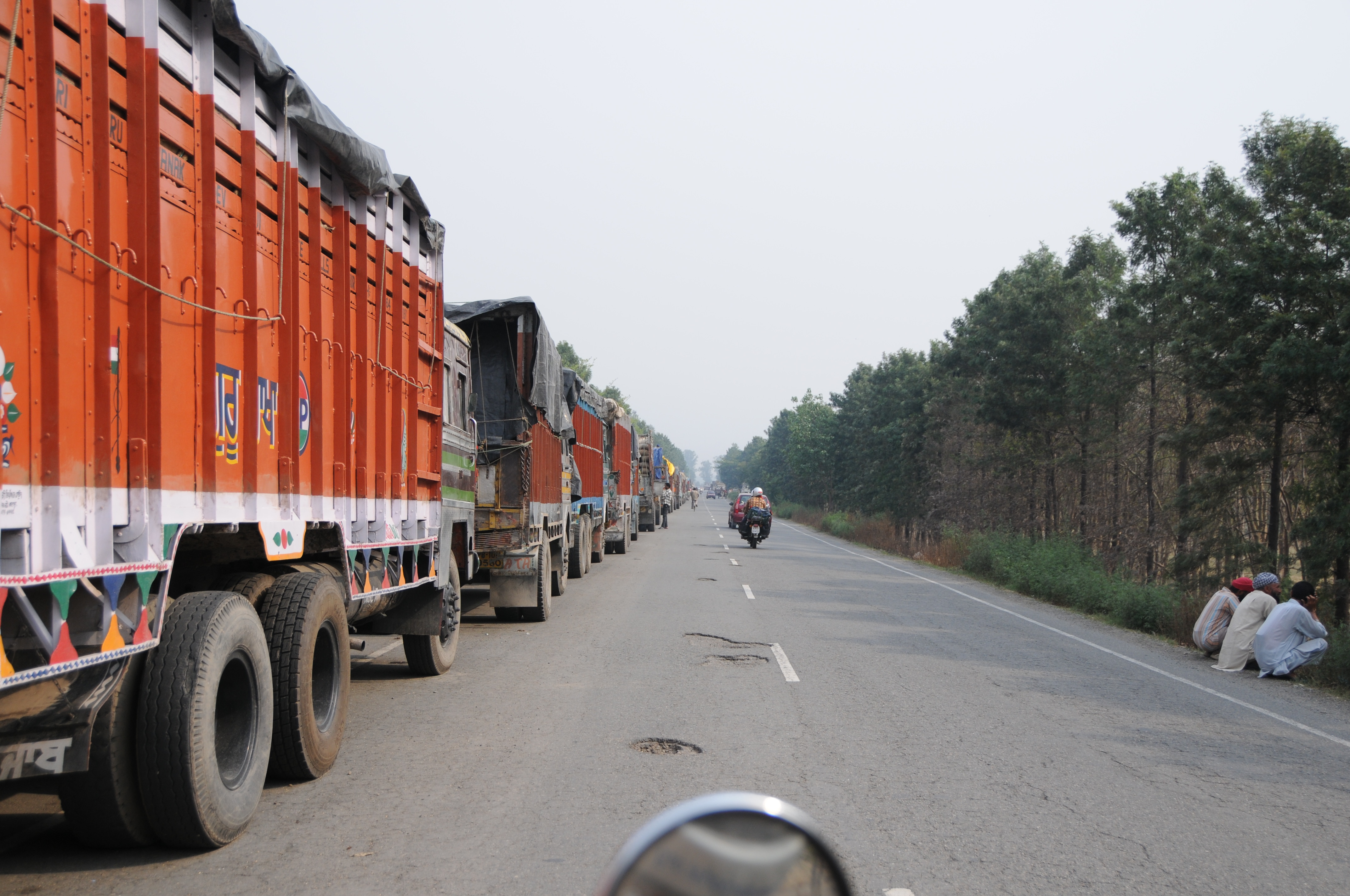
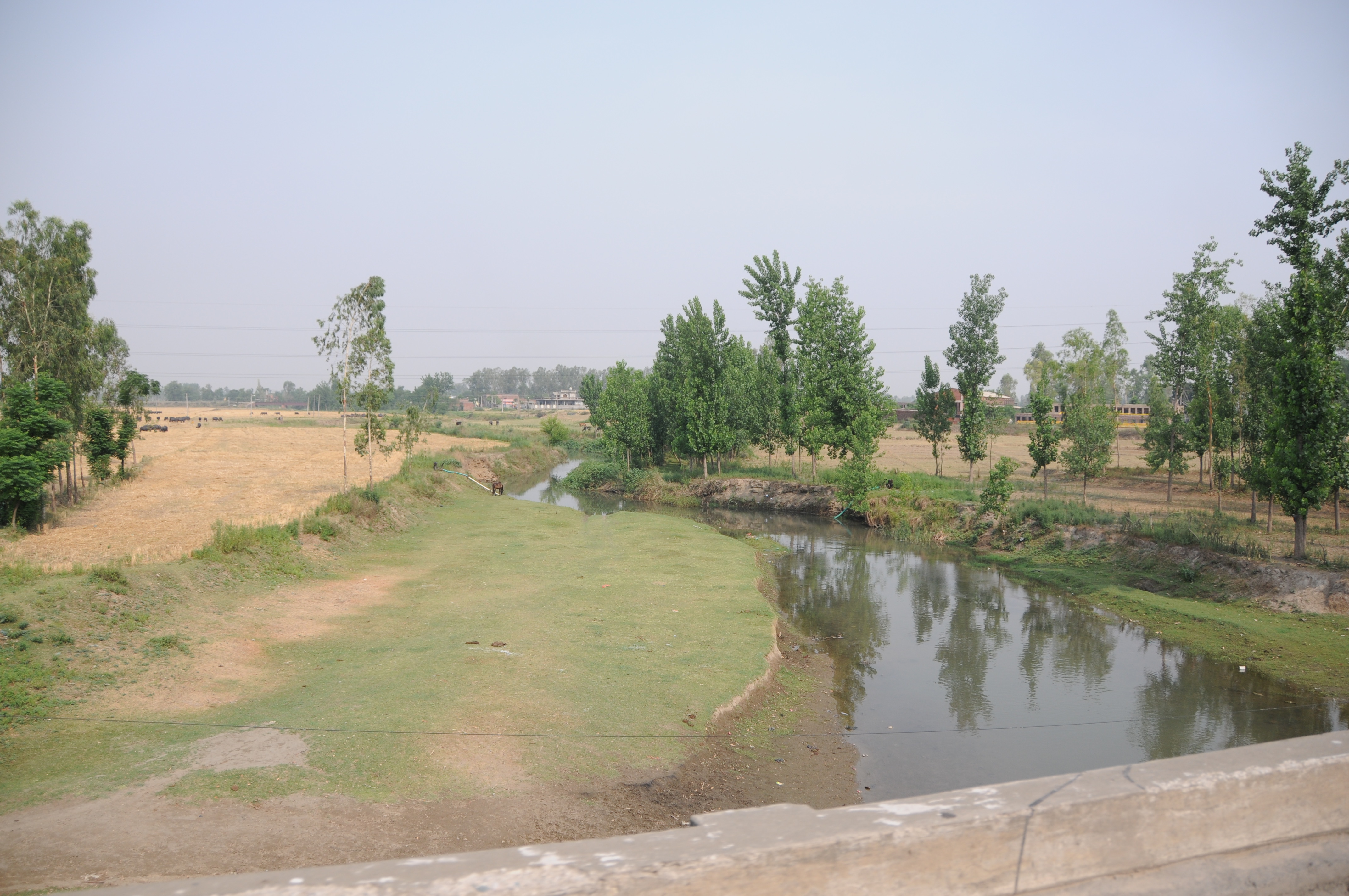
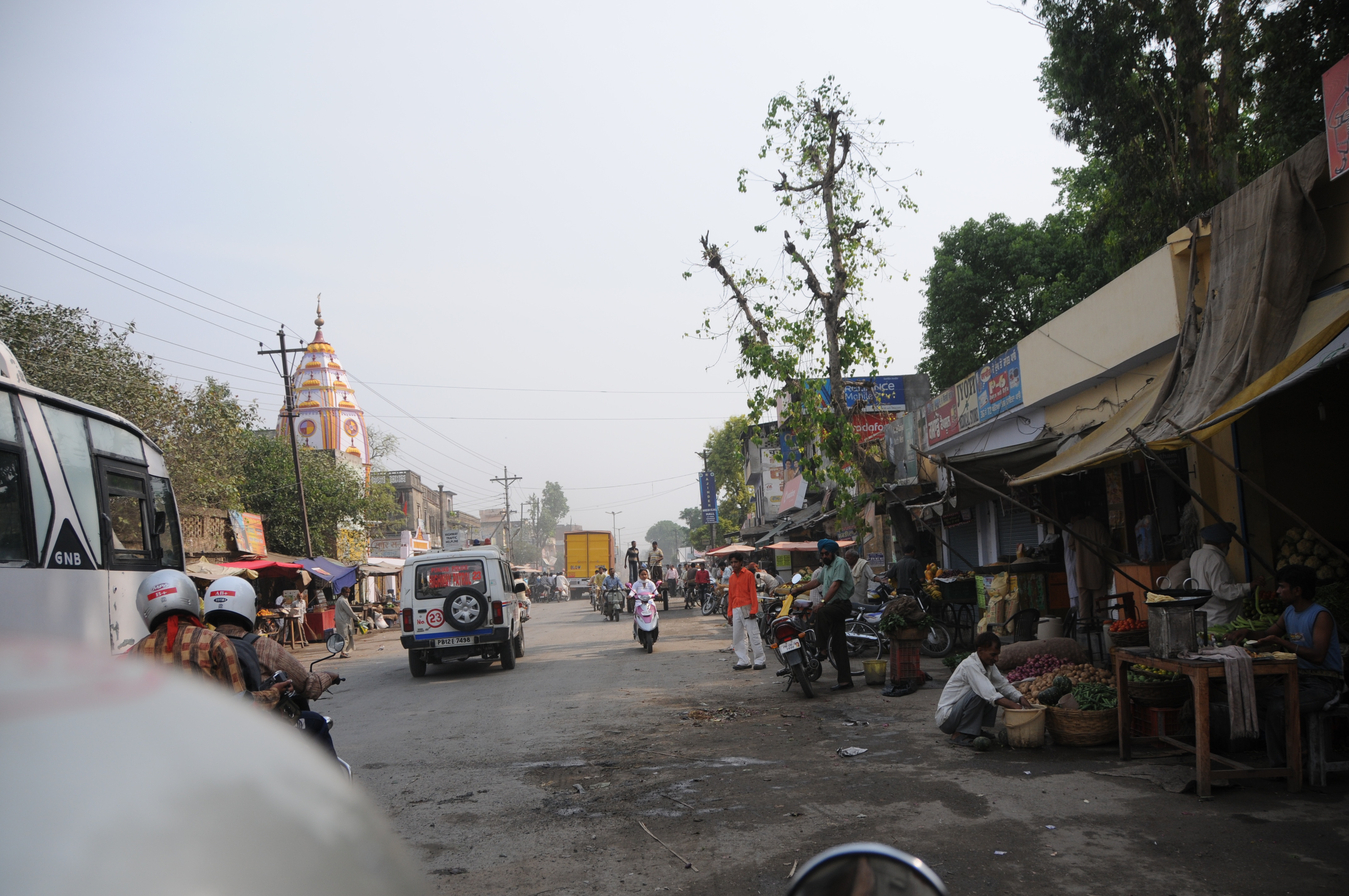
Related Photos:
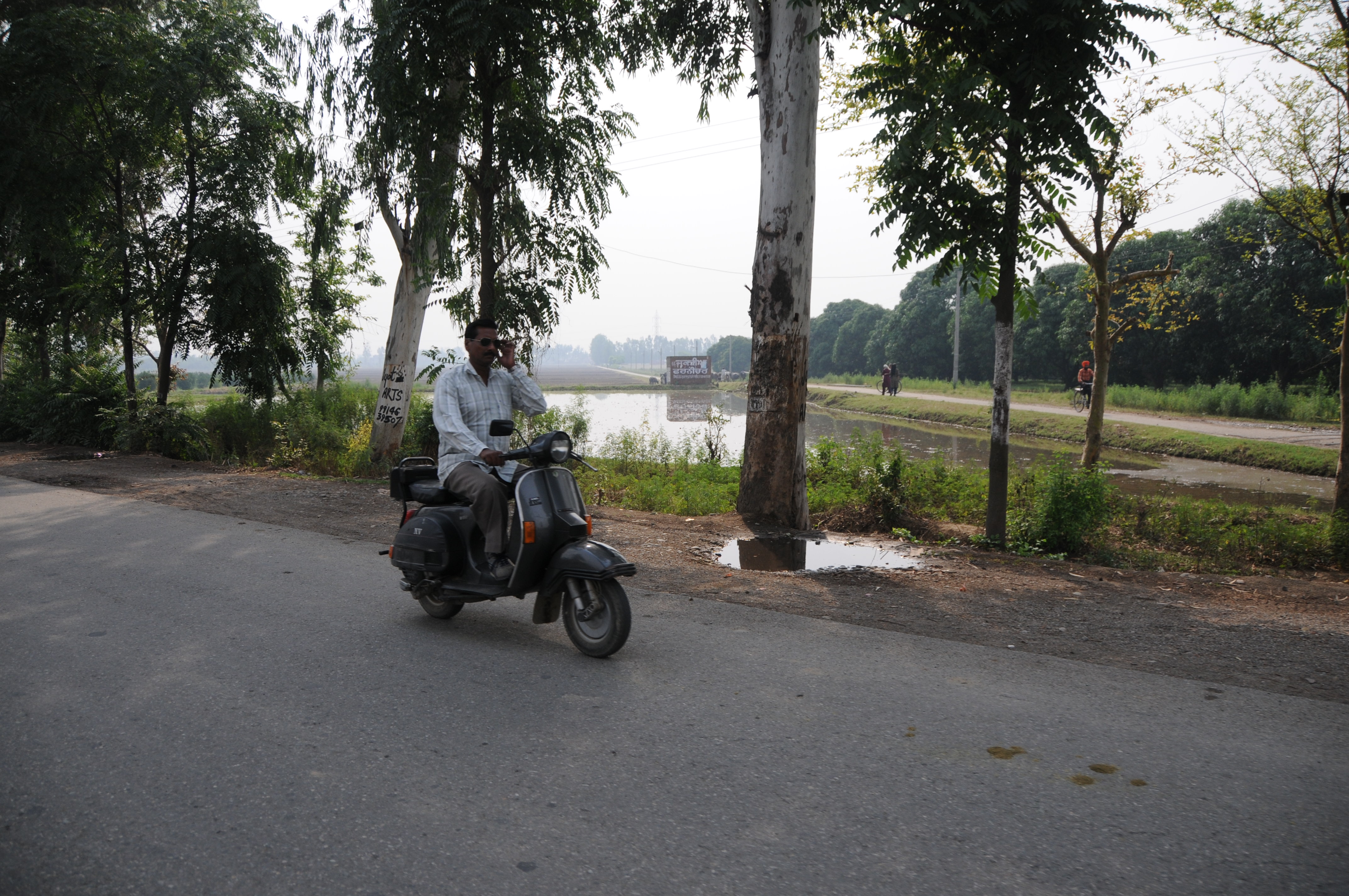
CSP_9246.JPG
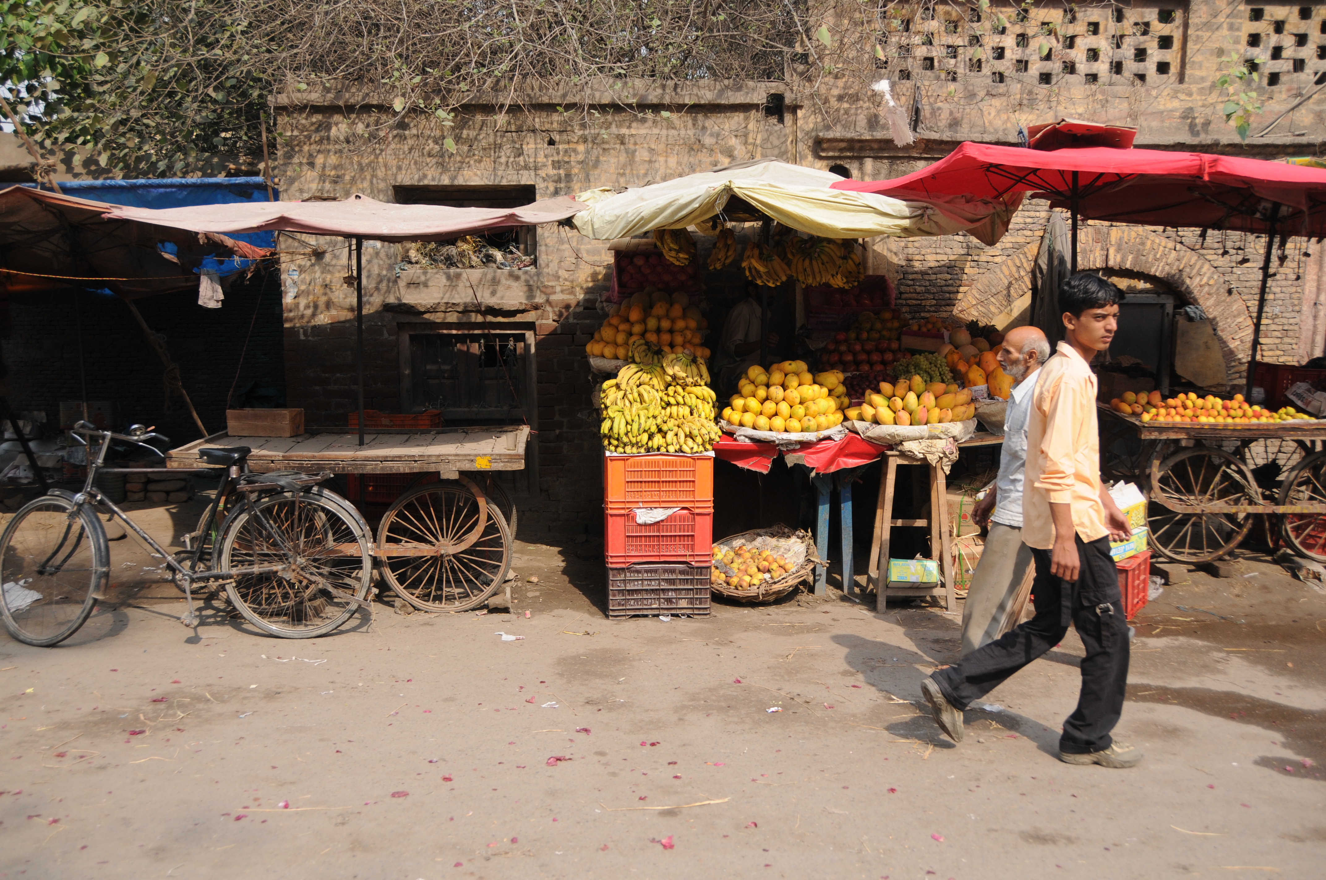
CSP_9244.JPG
CSP_9235.JPG
CSP_9245.JPG
CSP_9233.JPG
CSP_9234.JPG
CSP_9243.JPG
CSP_9240.JPG

CSP_9239.JPG
CSP_9238.JPG
CSP_9241.JPG
Topographic Map of Makaura, Punjab, India
Find elevation by address:

Places near Makaura, Punjab, India:
Gurdaspur
Pathankot
Gurdaspur
Pathankot
Damtal
Dalam
Batala
Tanda
Talwara
Nadala
Bhunga
Beas
Bhogpur
Amritsar
Hoshiarpur
Bariyar
Hazipur
Spring Dale Senior School
Company Bagh
Ram Bagh
Recent Searches:
- Elevation of Village Point Dr, Daphne, AL, USA
- Elevation map of Kabardino-Balkarian Republic, Russia
- Elevation of Tyrnyauz, Kabardino-Balkarian Republic, Russia
- Elevation of Sunset Dr, Hernando, MS, USA
- Elevation of Lake Rotoroa, Tasman, New Zealand
- Elevation of George St, New Bern, NC, USA
- Elevation of Cove Rd, Jasper, GA, USA
- Elevation of Cove Rd, Jasper, GA, USA
- Elevation of South Yankee Meadow Road, Forest Road, Paragonah, UT, USA
- Elevation of SW Elderview Dr, Sherwood, OR, USA