Elevation of Majuro, Majuro Atoll, RMI
Location: Marshall Islands > Majuro Atoll >
Longitude: 171.185773
Latitude: 7.1164214
Elevation: -3m / -10feet
Barometric Pressure: 101KPa
Elevation Map:
Satellite Map:
Related Photos:

Happy Thanksgiving from paradise!
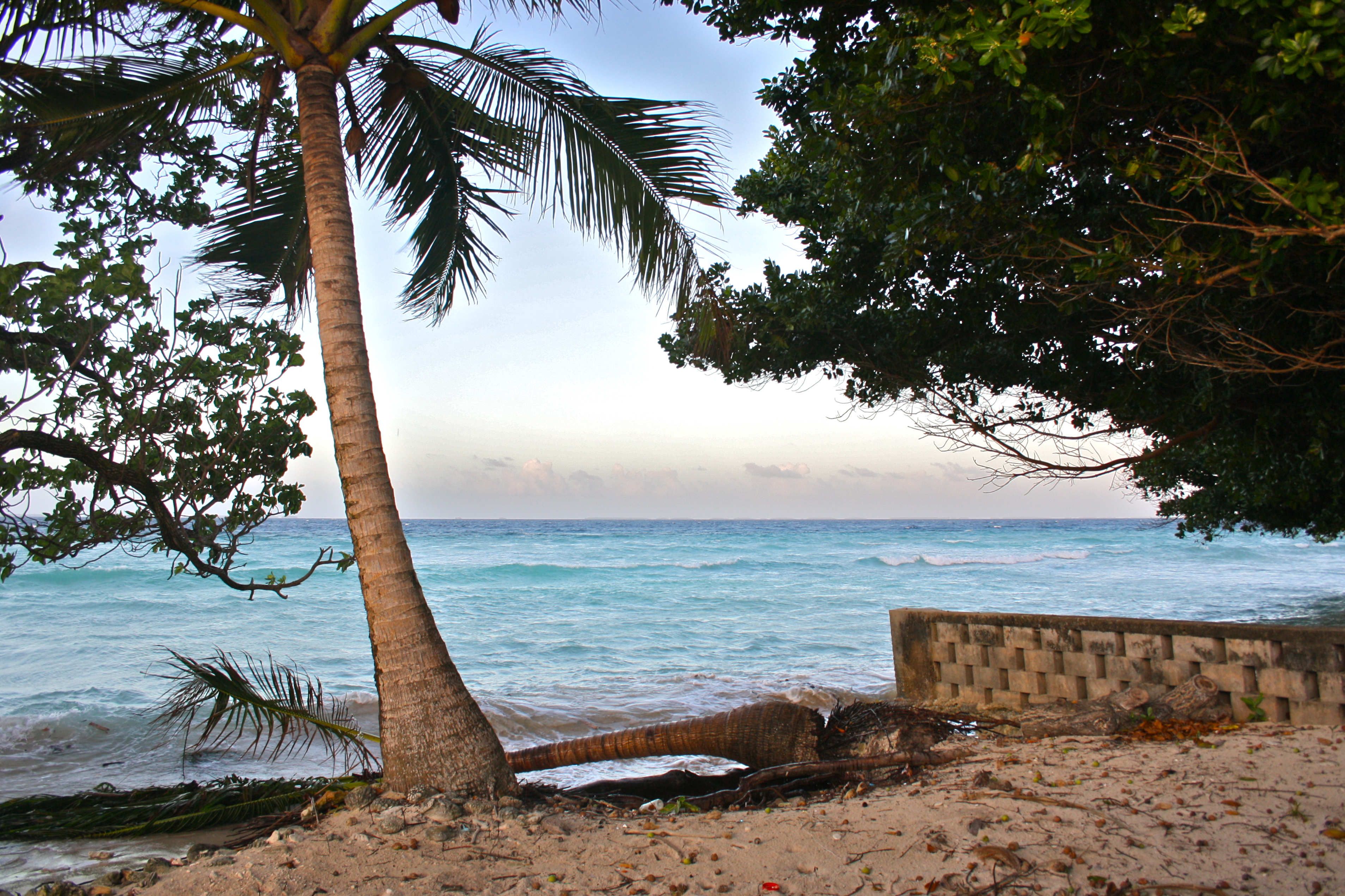
Aftermath of king tides.

genesis earthling.
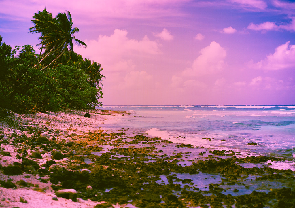
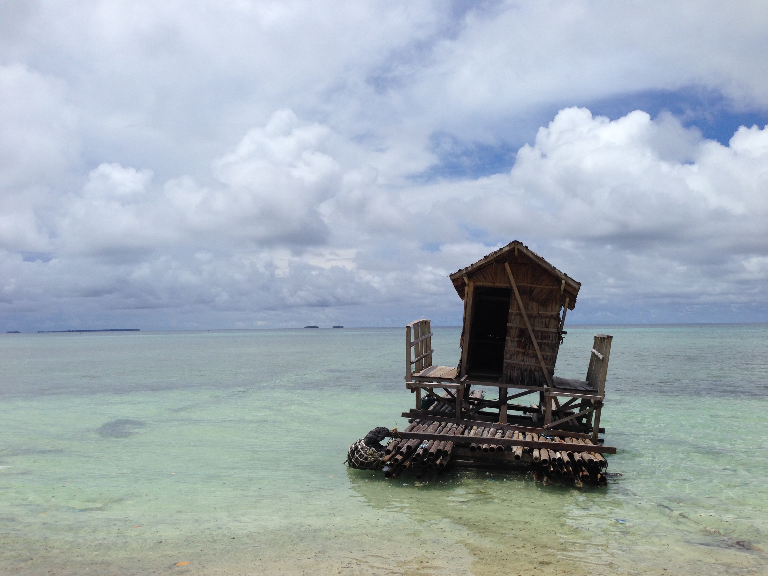
Mythical Beach
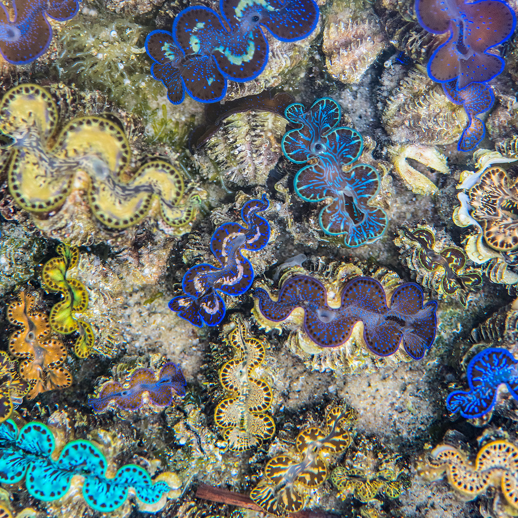
Baby Giant Clams
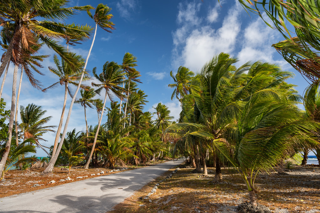
Bounded by Sea
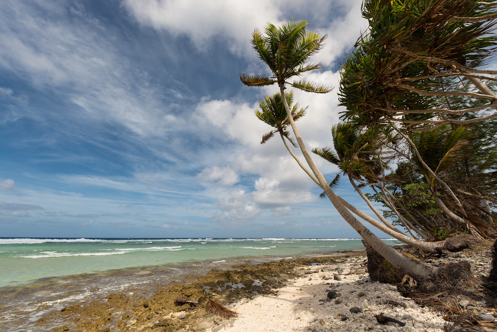
Seaside Beach
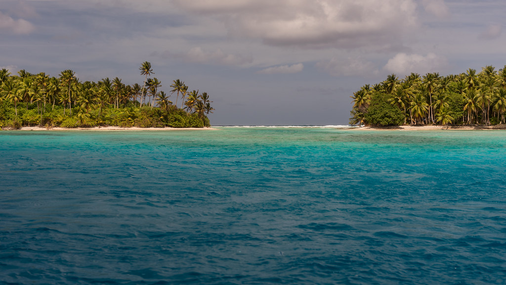
Majuro Atoll Channel
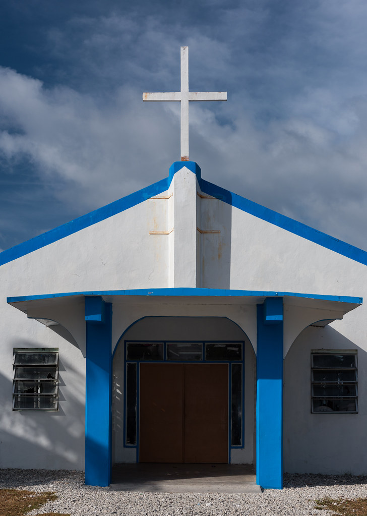
Majuro Church 2
Majuro, Marshall Islands

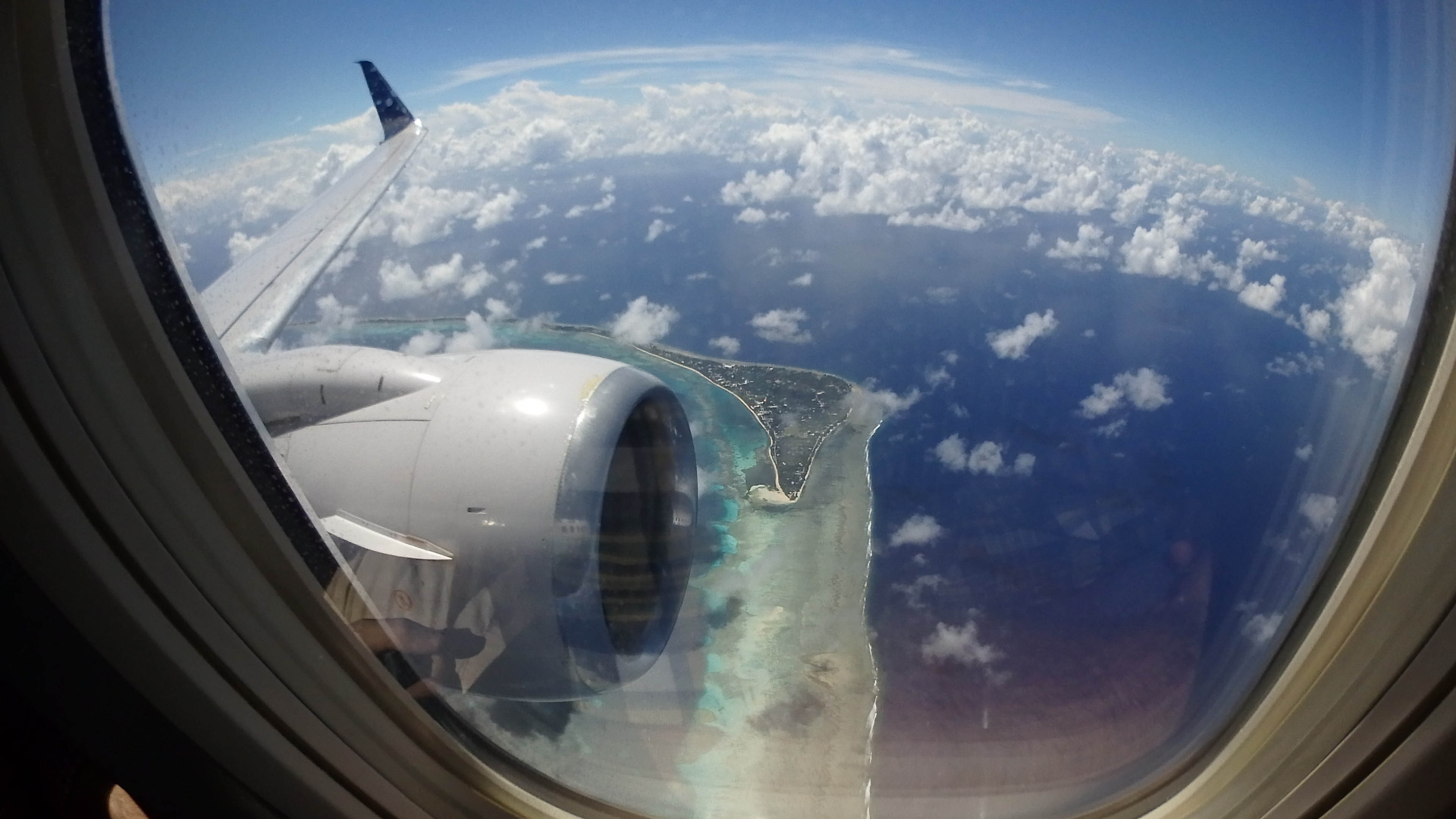
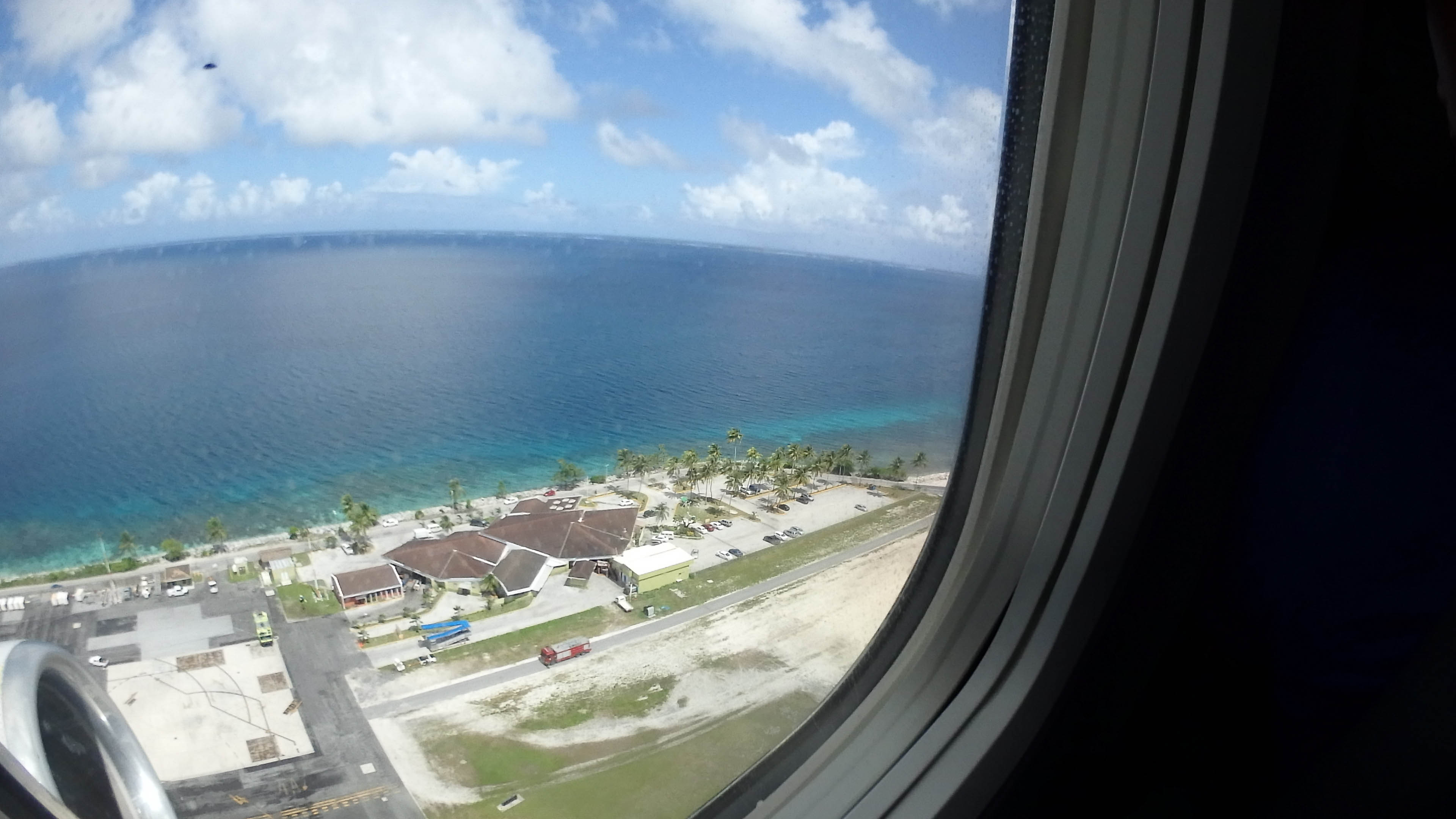
Landing at MAJ

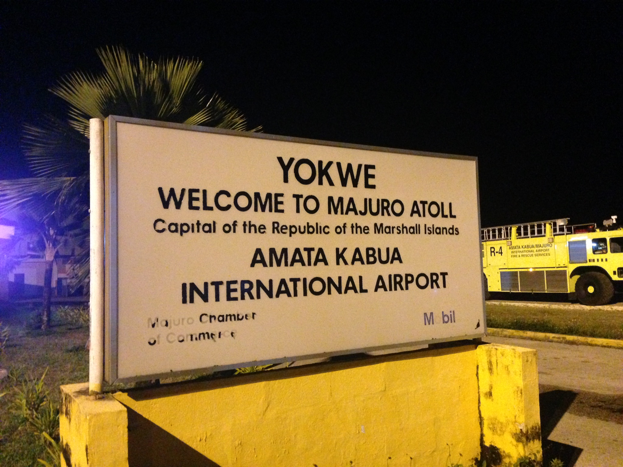
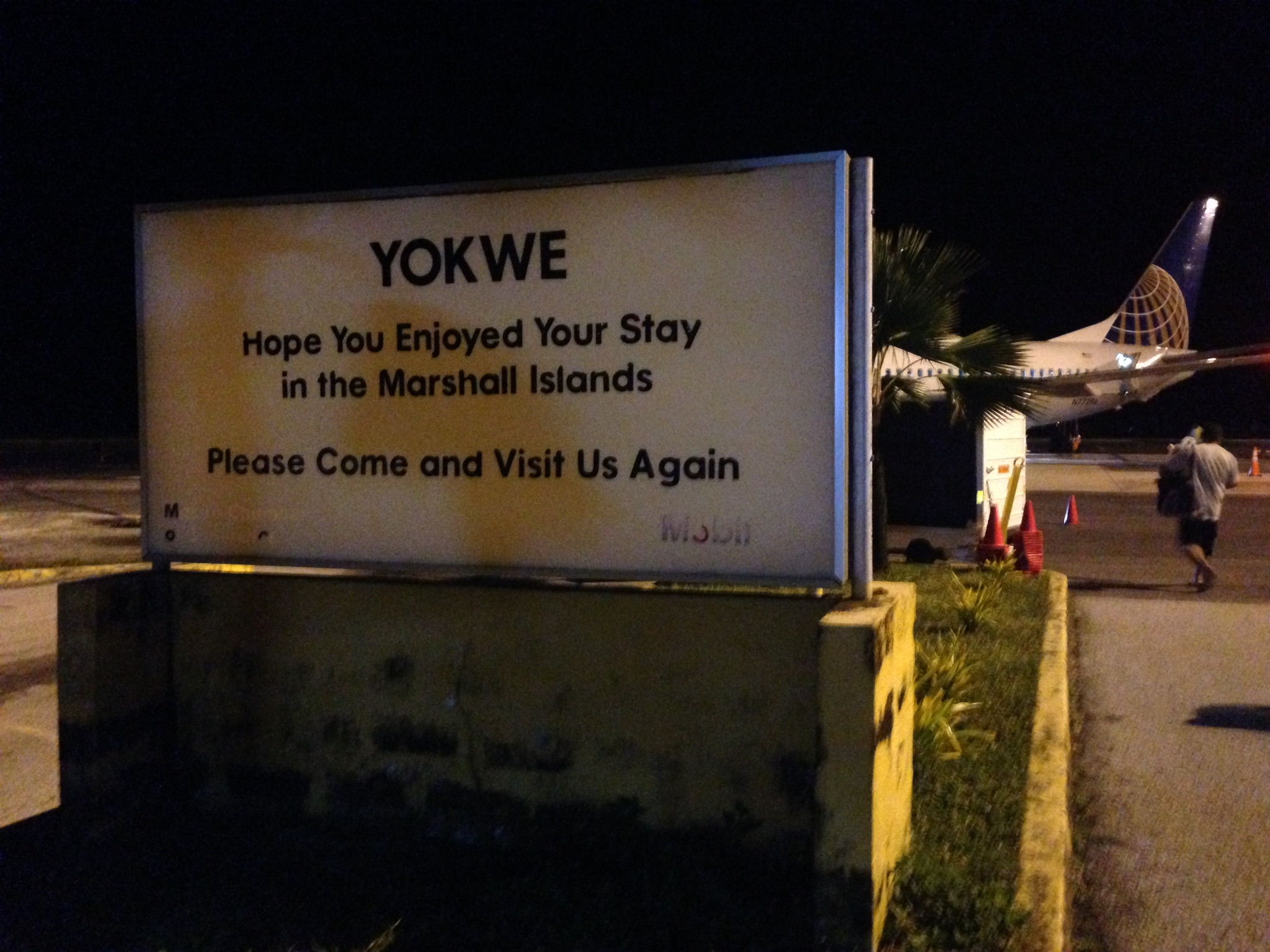
Majuro Airport
All Photos-3948
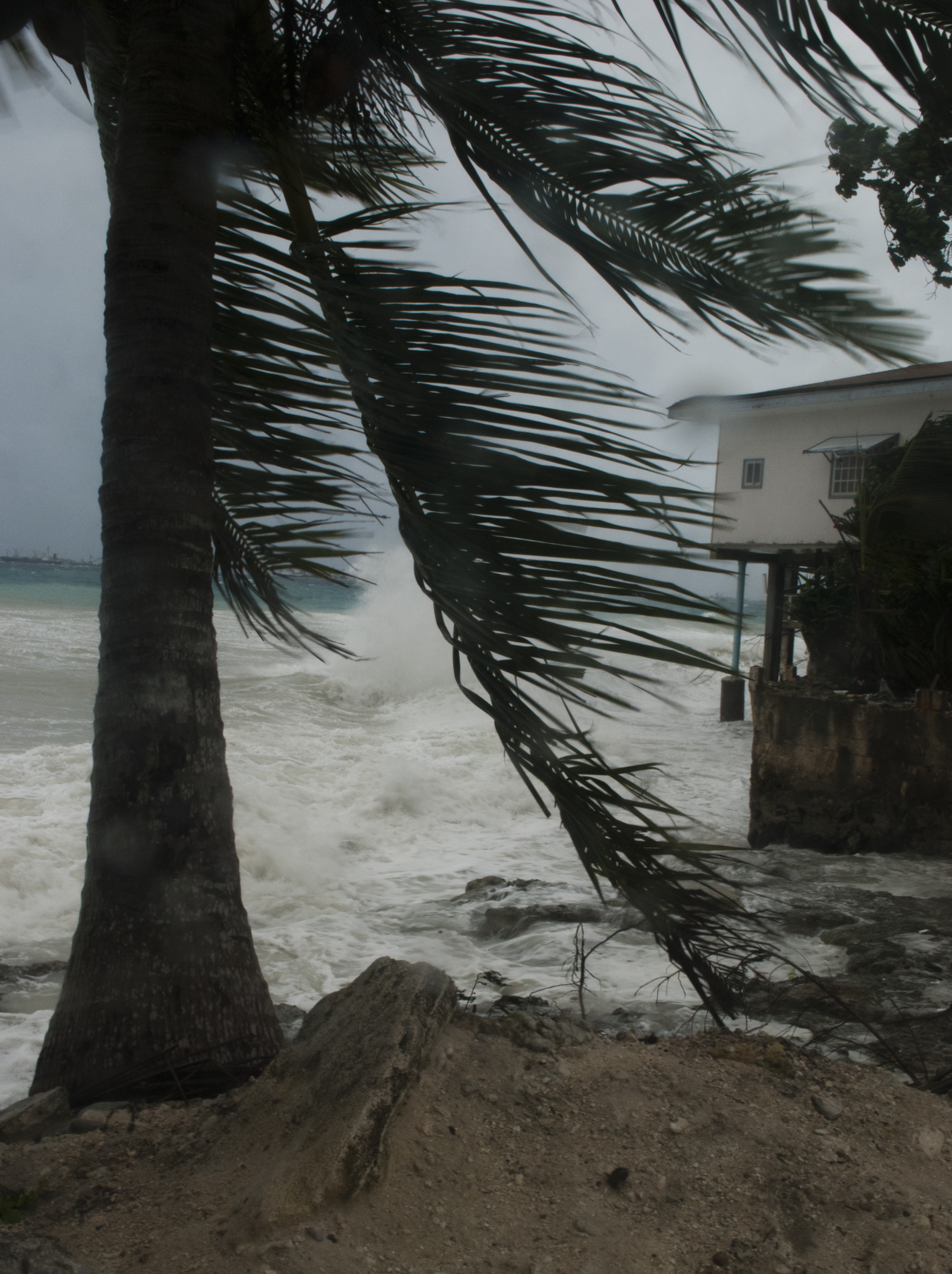
Majuro Storm 5
Dog in front of K&K

siesta.
Marshall Islands
Takeoff at MAJ
Takeoff at MAJ
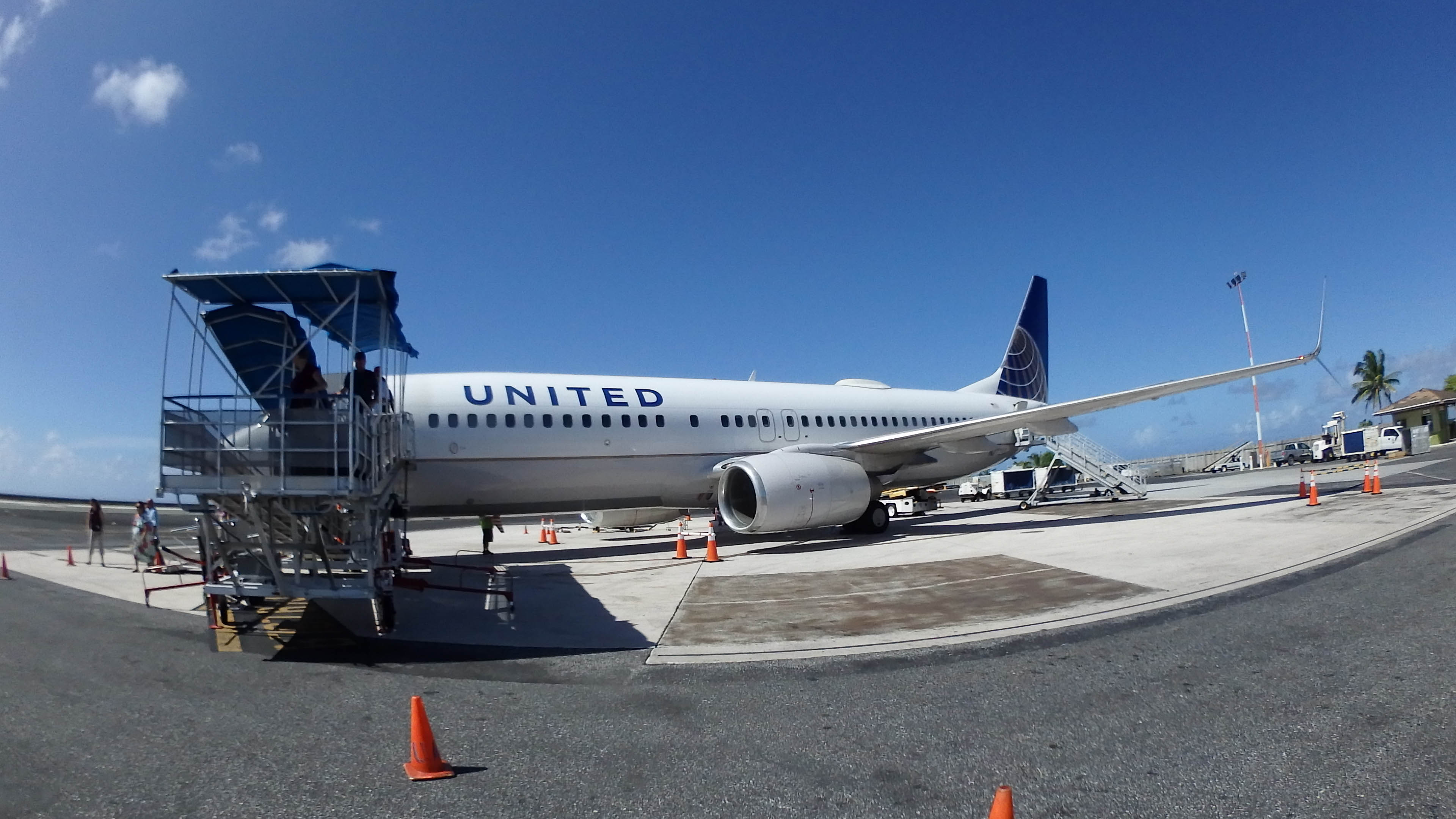
UA 154
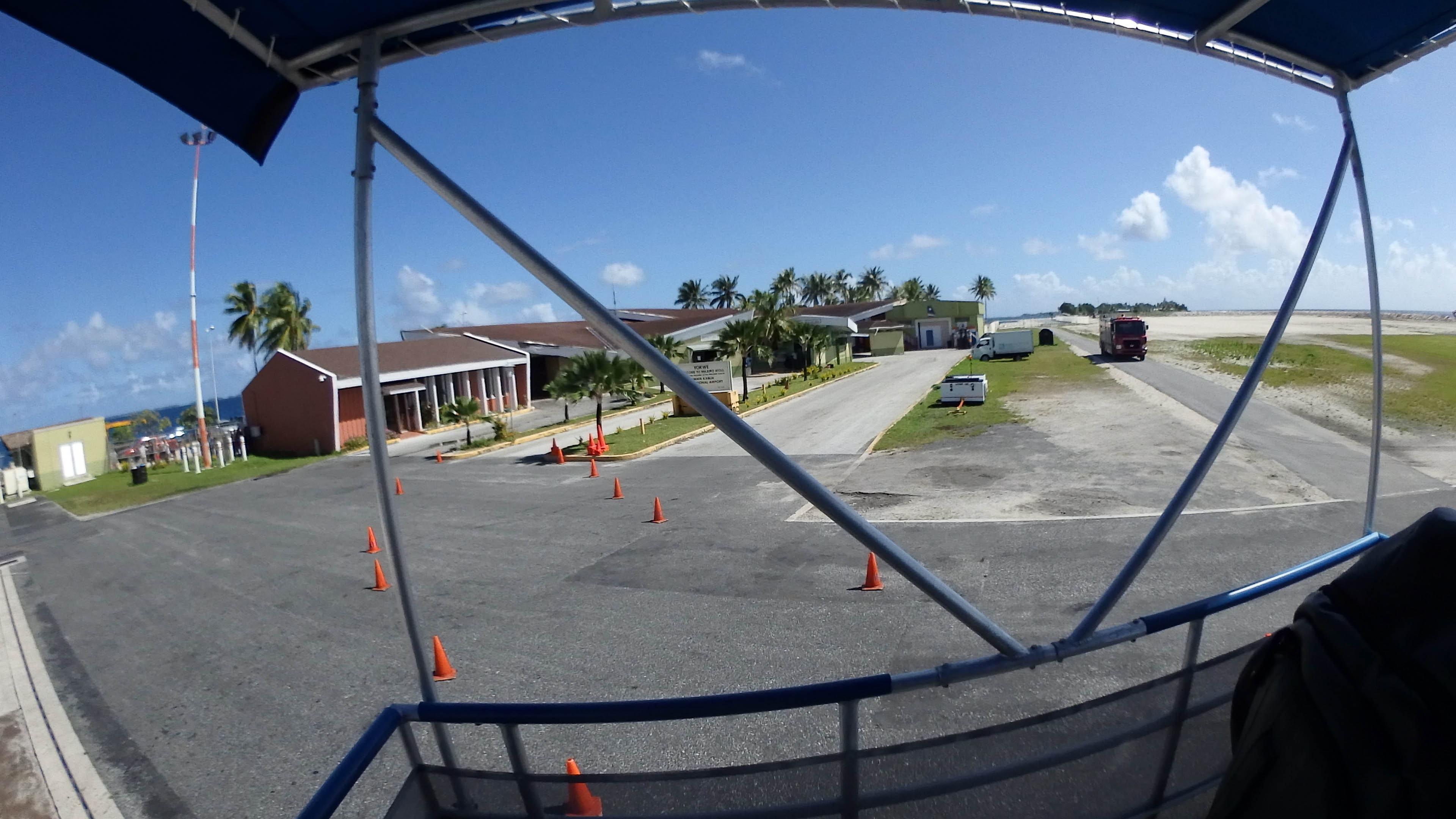
Deplaning from UA154
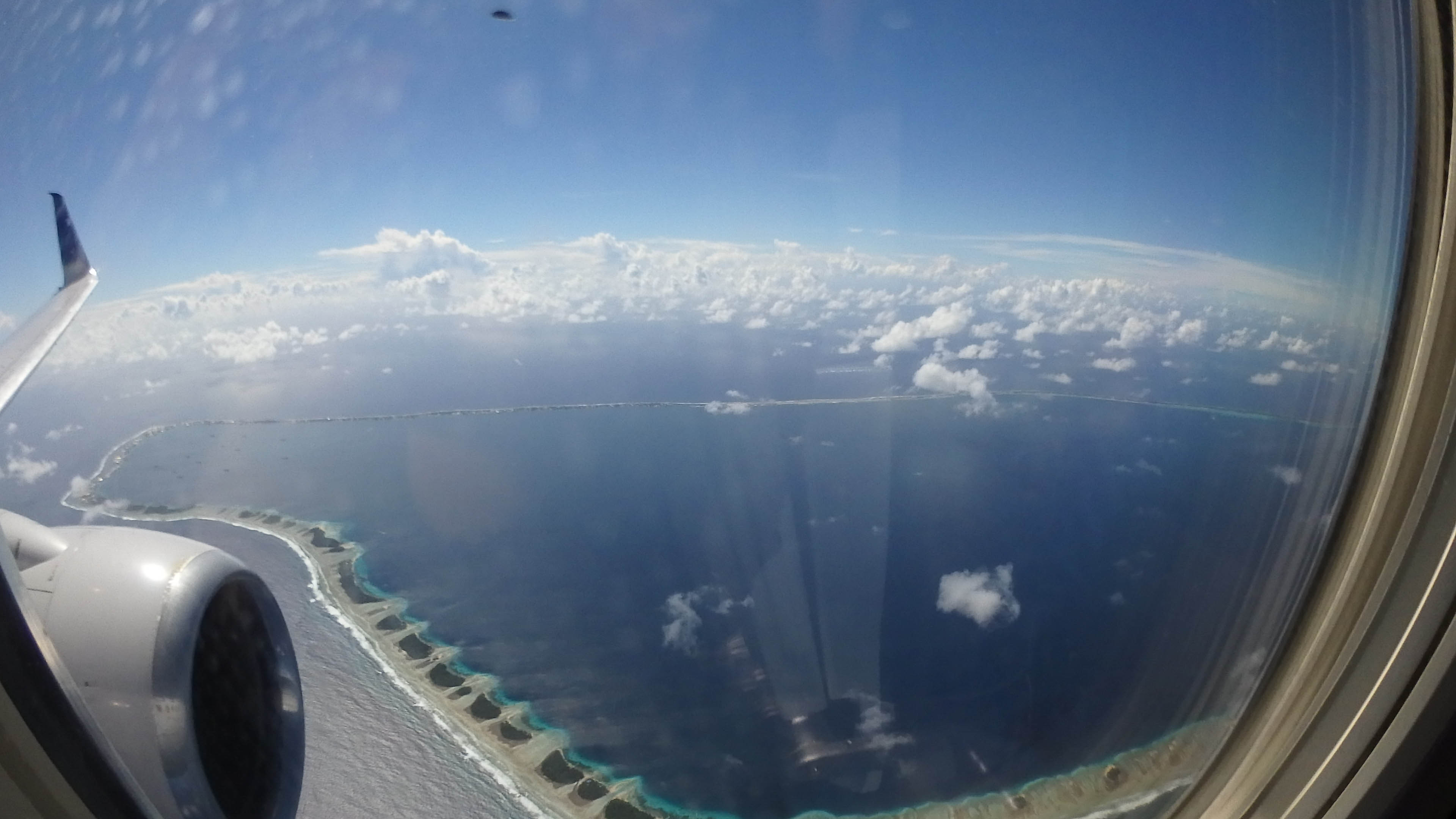
Landing at MAJ

Giant Clam Pattern
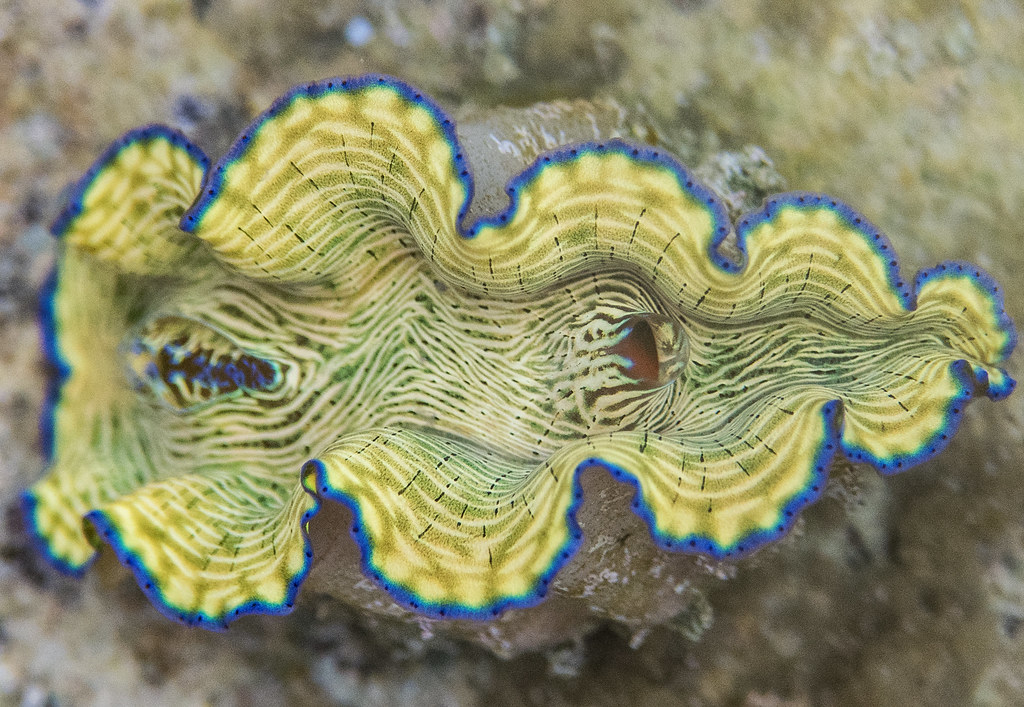
Baby Giant Clam
Topographic Map of Majuro, Majuro Atoll, RMI
Find elevation by address:

Places near Majuro, Majuro Atoll, RMI:
Recent Searches:
- Elevation of S Layton Cir W, Layton, UT, USA
- Elevation of F36W+3M, Mussoorie, Uttarakhand, India
- Elevation of Fairland Ave, Fairhope, AL, USA
- Elevation of Sunset Dr, Richmond, VA, USA
- Elevation of Grodna District, Hrodna Region, Belarus
- Elevation of Hrodna, Hrodna Region, Belarus
- Elevation of Sandia Derby Estates, Tijeras, NM, USA
- Elevation of 23 Sunrise View Ct, Tijeras, NM, USA
- Elevation of Lytham Ln, Katy, TX, USA
- Elevation of Tater Hill, Oklahoma, USA