Elevation of Majuro Atoll, RMI
Location: Marshall Islands >
Longitude: 171.119607
Latitude: 7.1364665
Elevation: -683m / -2241feet
Barometric Pressure: 110KPa
Elevation Map:
Satellite Map:
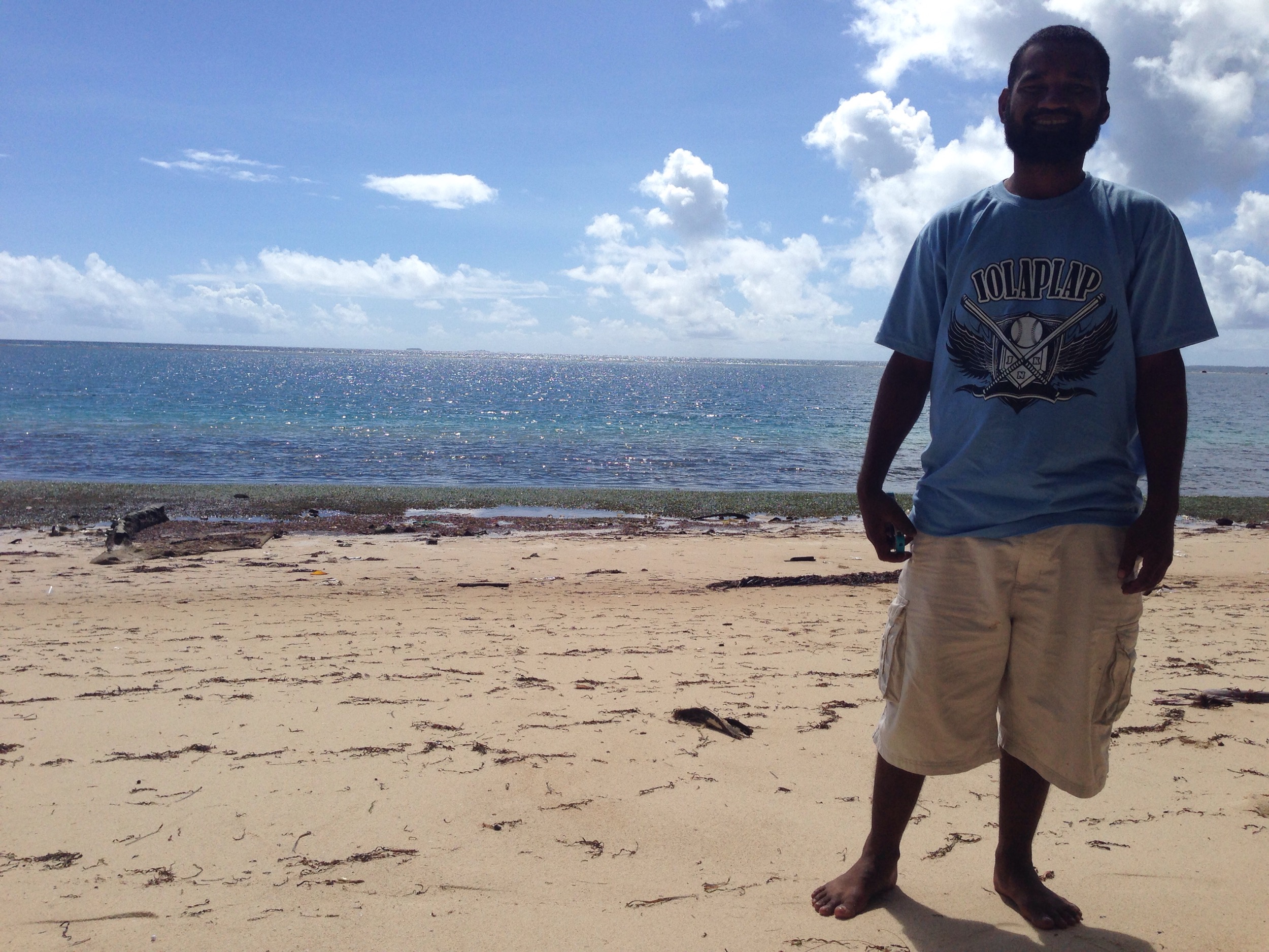
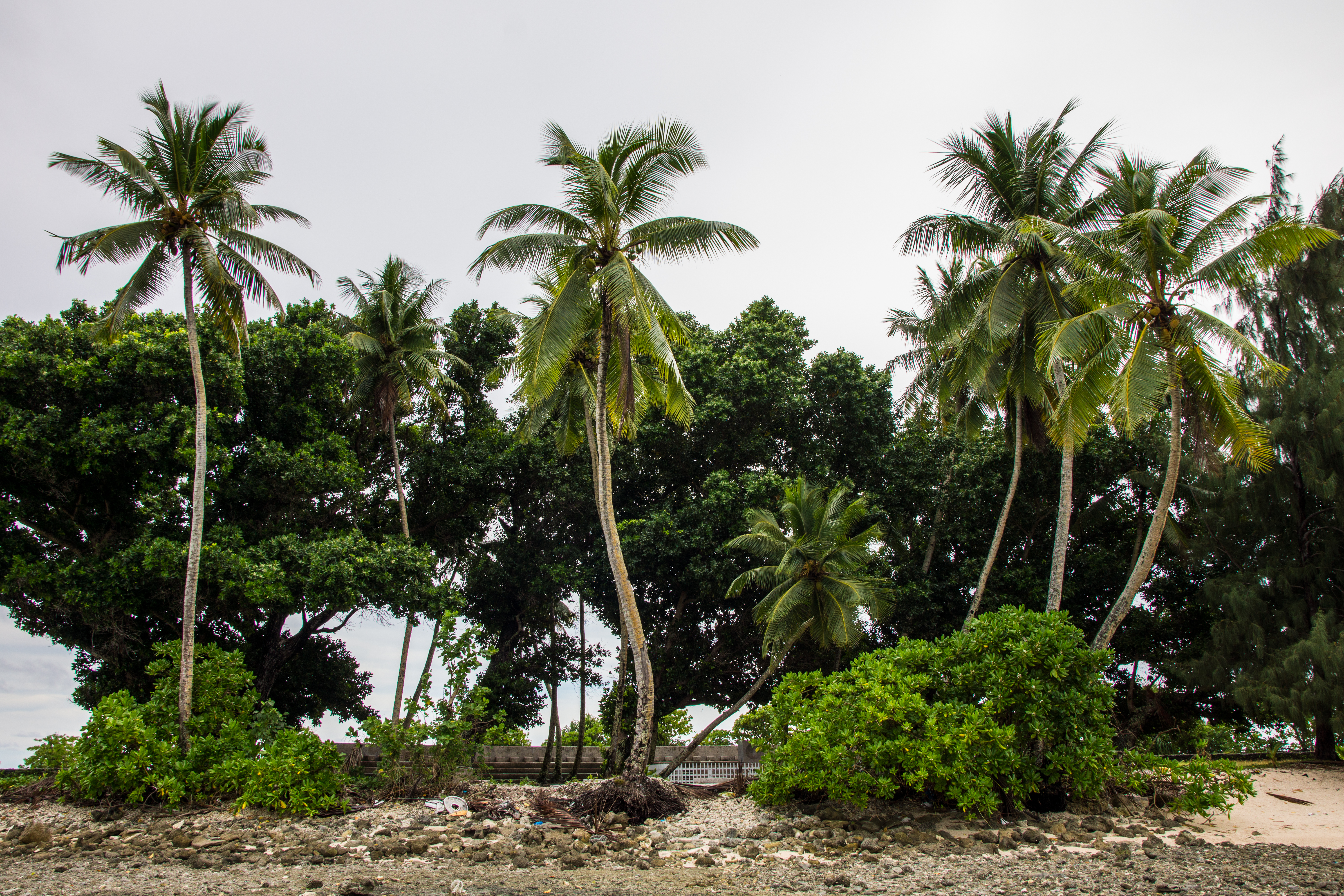
Related Photos:

Aftermath of king tides.

Paddleboarding at sunset

Majuro Atoll

Majuro Atoll

All Photos-3740

Majuro Atoll
All Photos-3530

Japanese Peace Memorial
Japanese Peace Memorial

Majuro Atoll

Majuro Atoll

Hermit Crabs

Hermit Crabs

Majuro Atoll

Majuro Atoll

Tropical Ice Cream

Bounded by Sea

Majuro Church 4
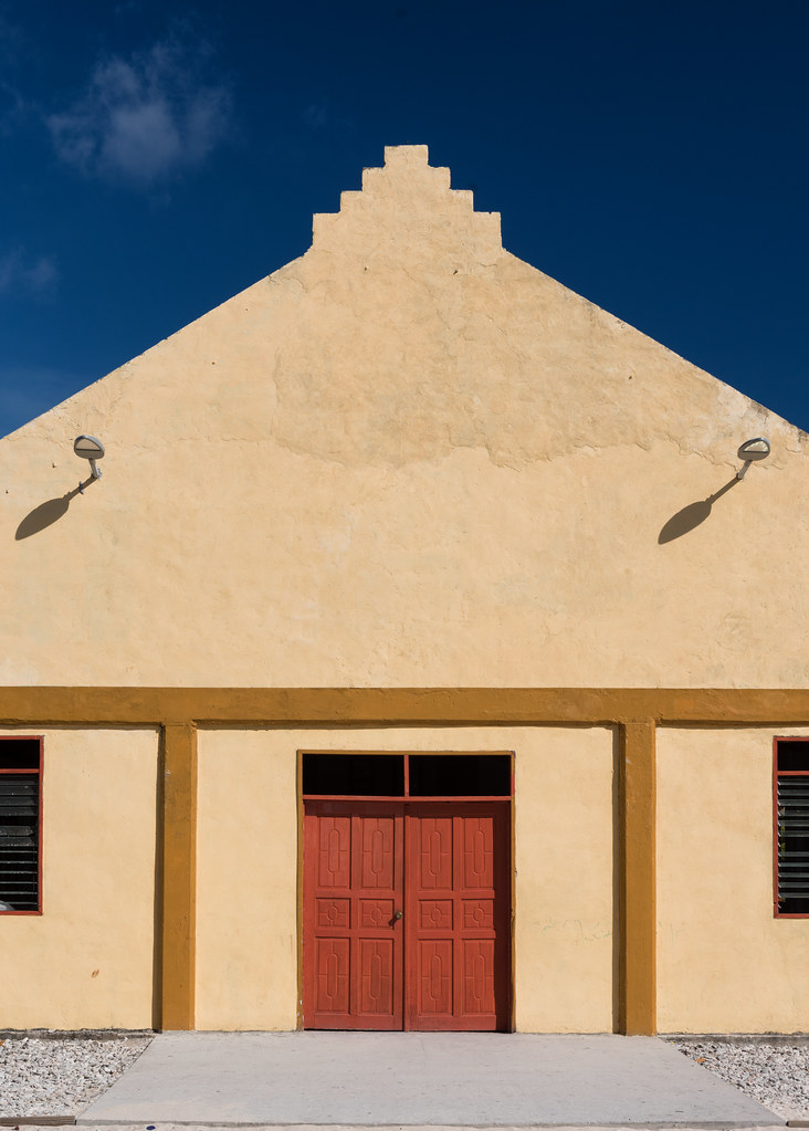
Majuro Church 3

Majuro Church 2

Majuro Church 1

All Photos-4582

All Photos-3948

All Photos-3943

All Photos-3940
Topographic Map of Majuro Atoll, RMI
Find elevation by address:

Places in Majuro Atoll, RMI:
Places near Majuro Atoll, RMI:
Recent Searches:
- Elevation of Jais St - Wadi Shehah - Ras al Khaimah - United Arab Emirates
- Elevation of Shawnee Avenue, Shawnee Ave, Easton, PA, USA
- Elevation of Scenic Shore Dr, Kingwood Area, TX, USA
- Elevation of W Prive Cir, Delray Beach, FL, USA
- Elevation of S Layton Cir W, Layton, UT, USA
- Elevation of F36W+3M, Mussoorie, Uttarakhand, India
- Elevation of Fairland Ave, Fairhope, AL, USA
- Elevation of Sunset Dr, Richmond, VA, USA
- Elevation of Grodna District, Hrodna Region, Belarus
- Elevation of Hrodna, Hrodna Region, Belarus