Elevation of Main St, Pound, VA, USA
Location: United States > Virginia > Wise County > > Pound >
Longitude: -82.600797
Latitude: 37.1235579
Elevation: 476m / 1562feet
Barometric Pressure: 96KPa
Elevation Map:
Satellite Map:
Related Photos:

Zegeer House 2
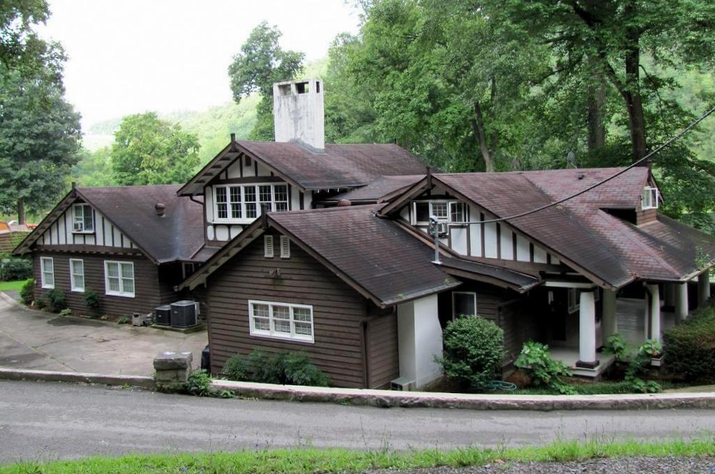
Zegeer House 4
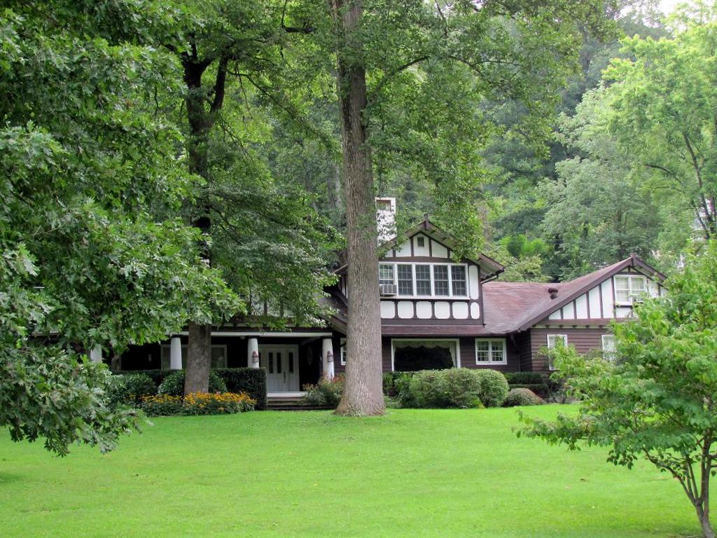
Zegeer House 1

Muscovy Duck in Profile
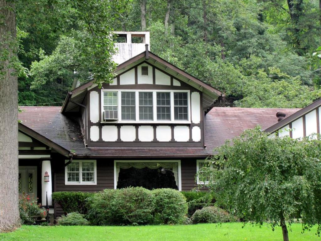
Zegeer House 3

Zegeer House 5
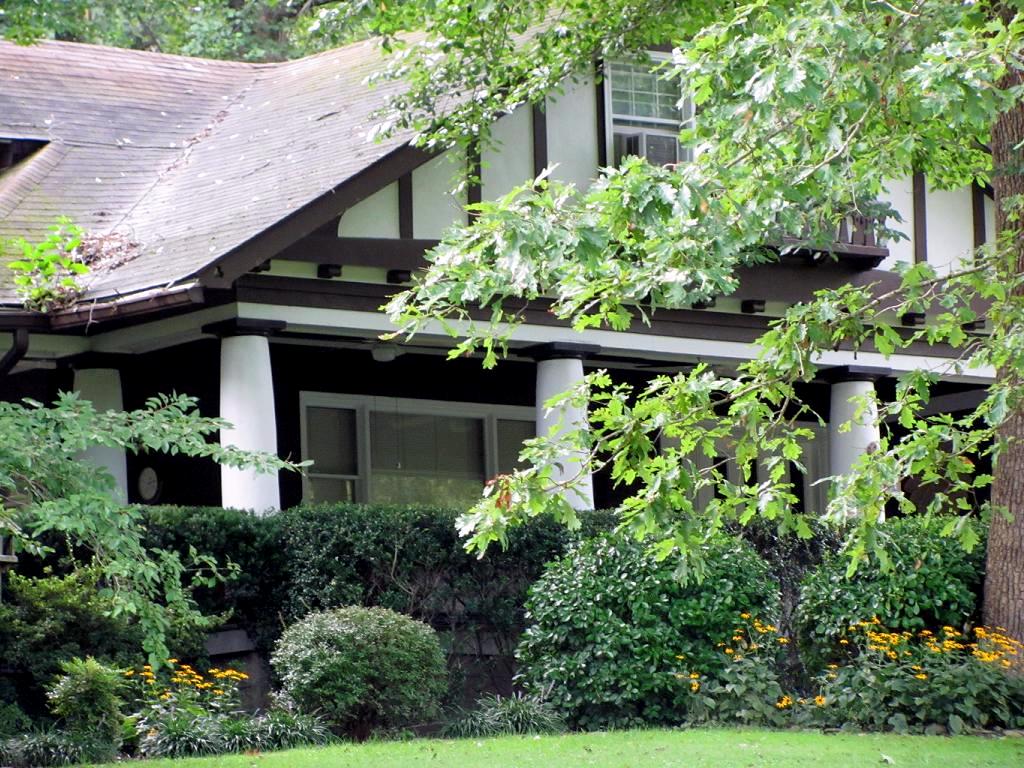
Zegeer House 6

Zegeer House 7

IMG_2773-2
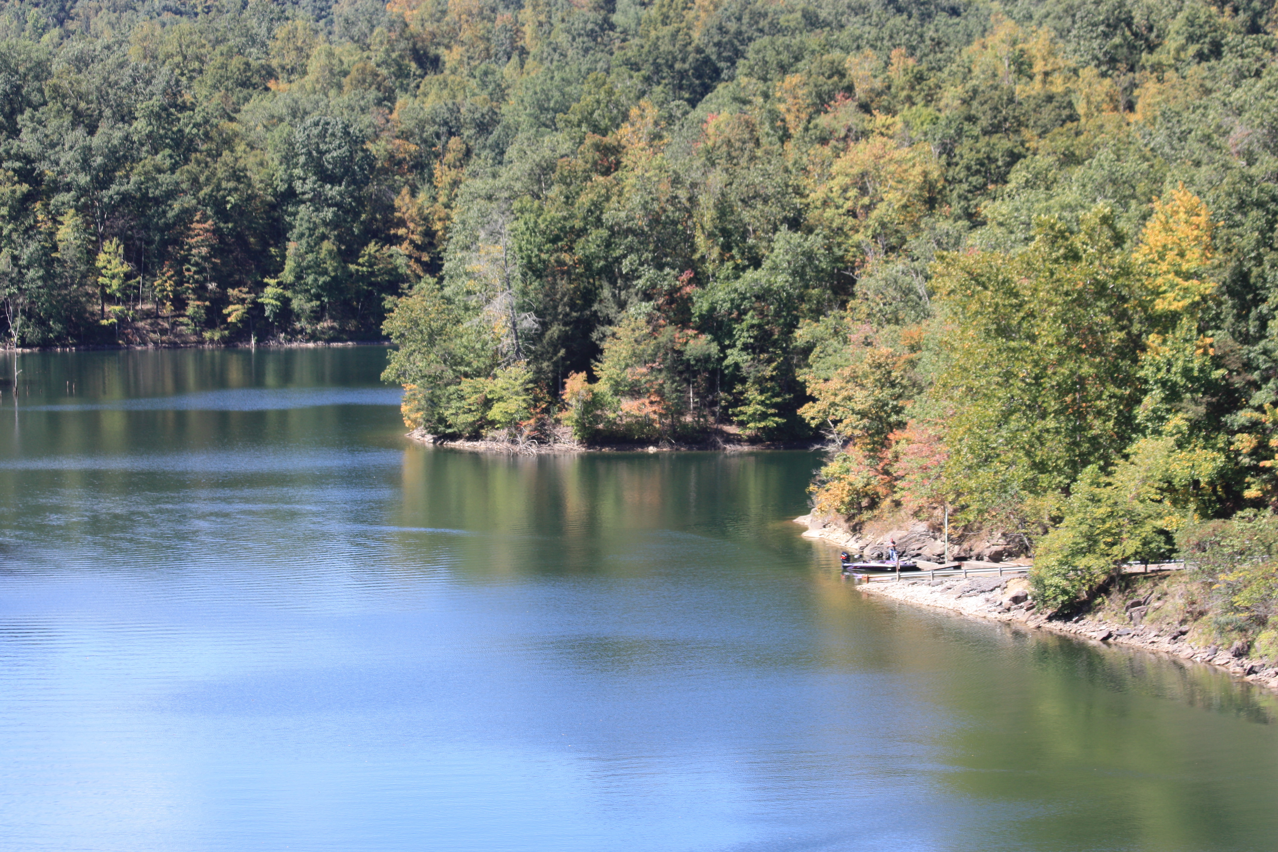
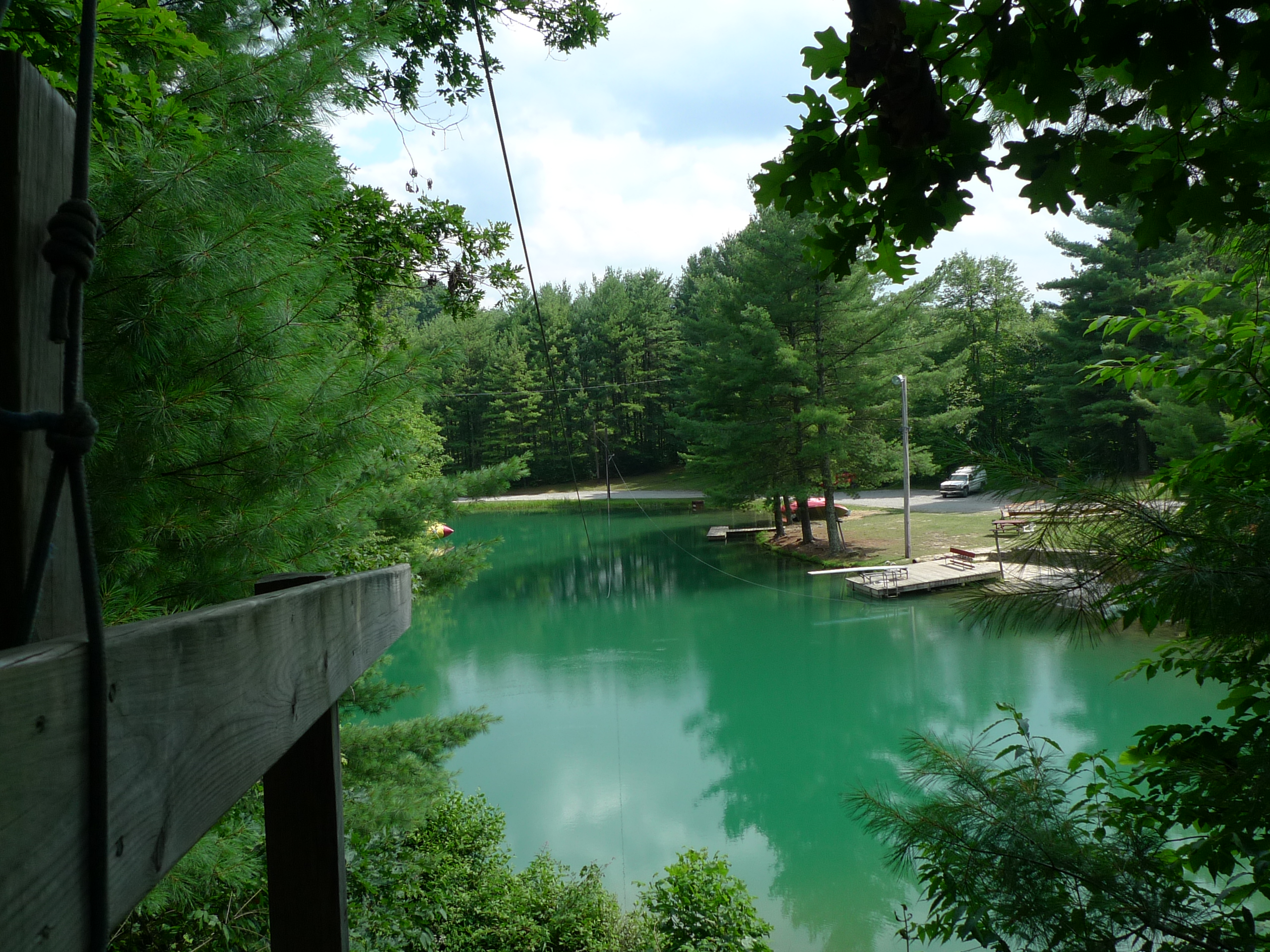
North Fork of Pound Lake

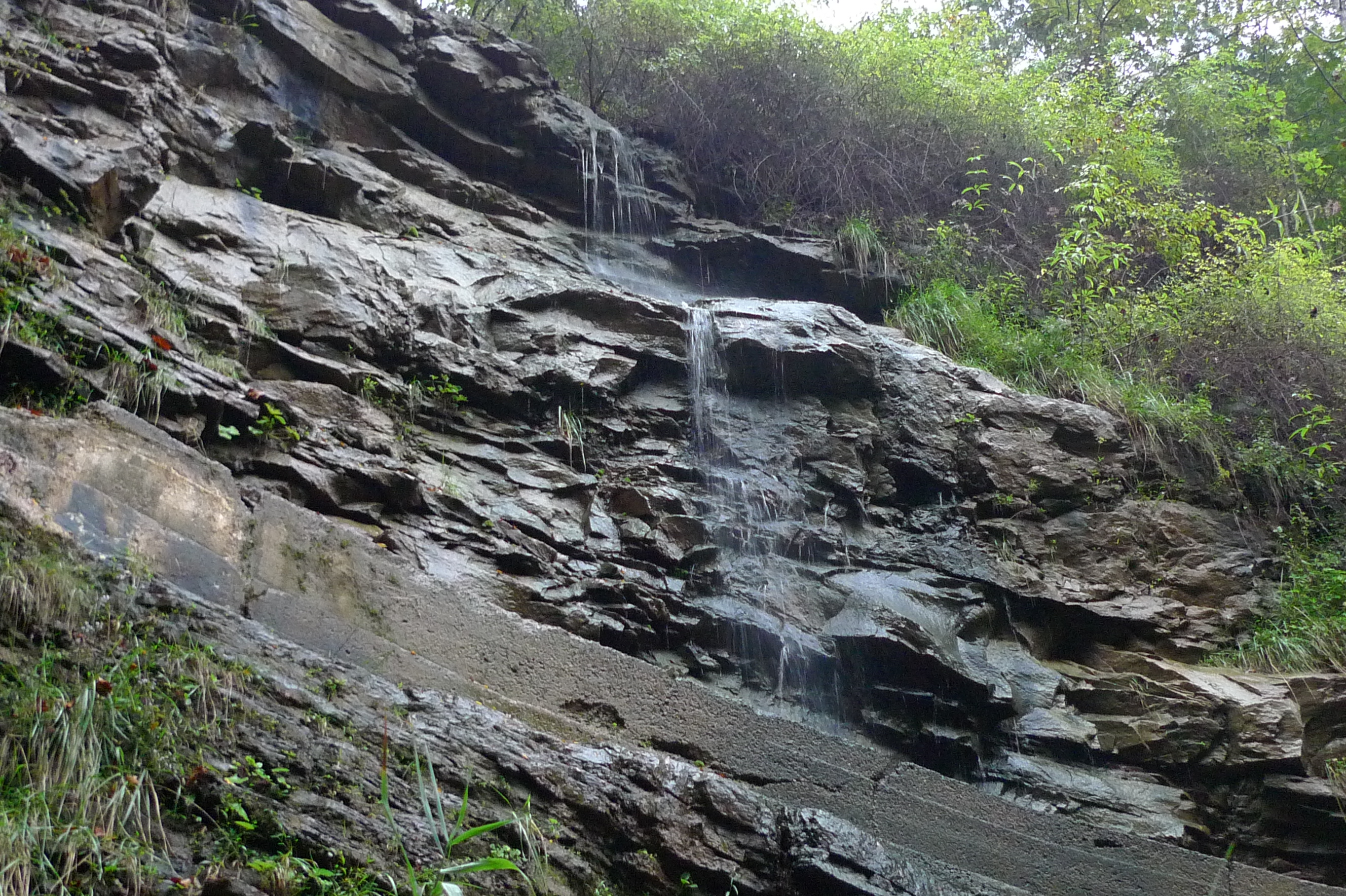
Water trickle
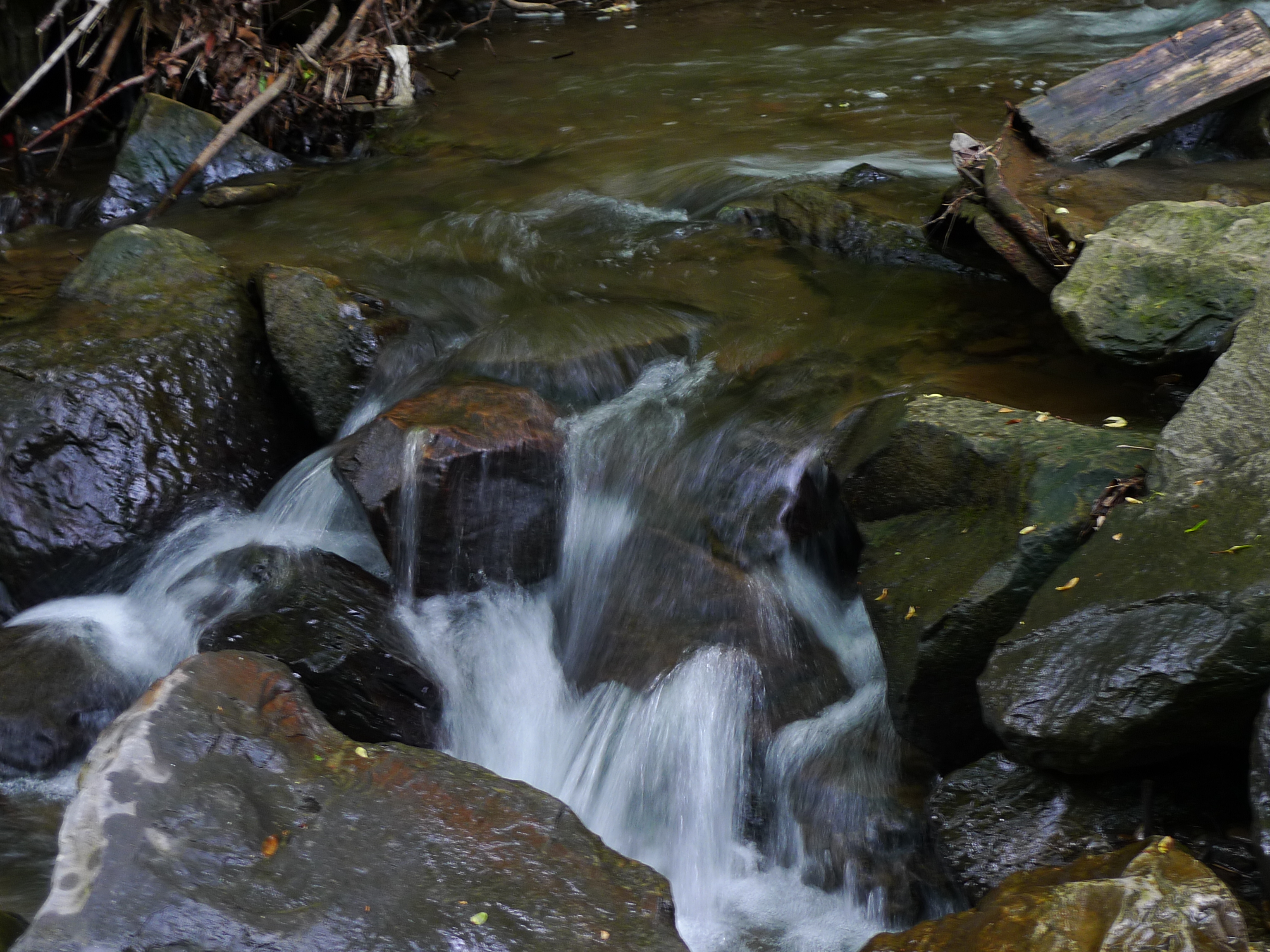
Water trickle

Erwin, Tennessee
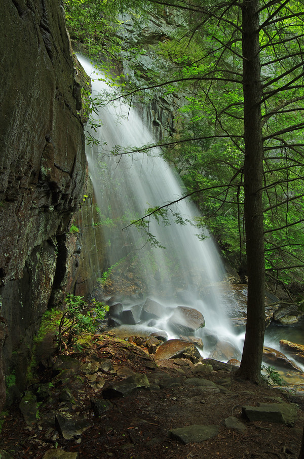
Bad Branch Falls in Letcher County, KY
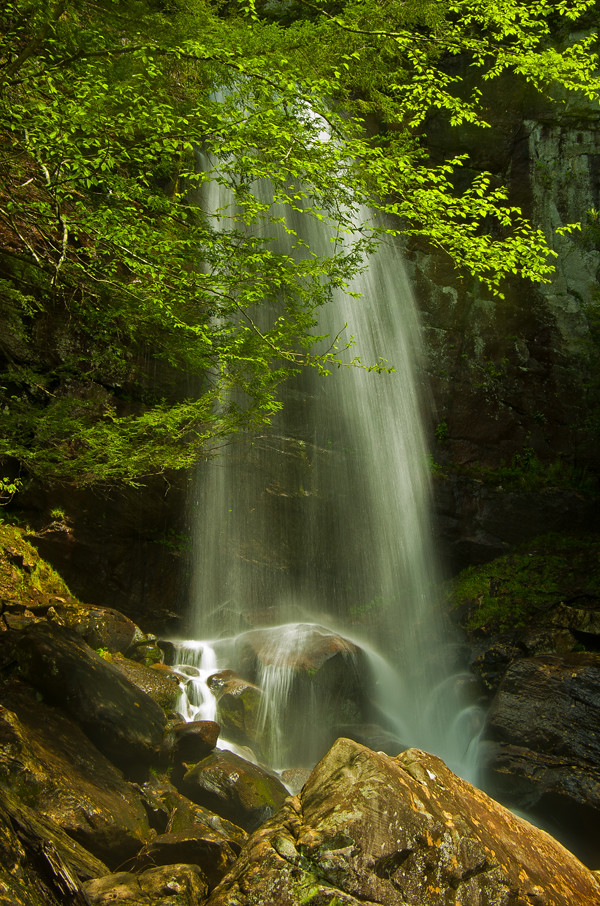
Bad Branch Falls in Letcher County, KY

The Rock Fortress
Camp Bethel Lake

Busy little bee

land of hills
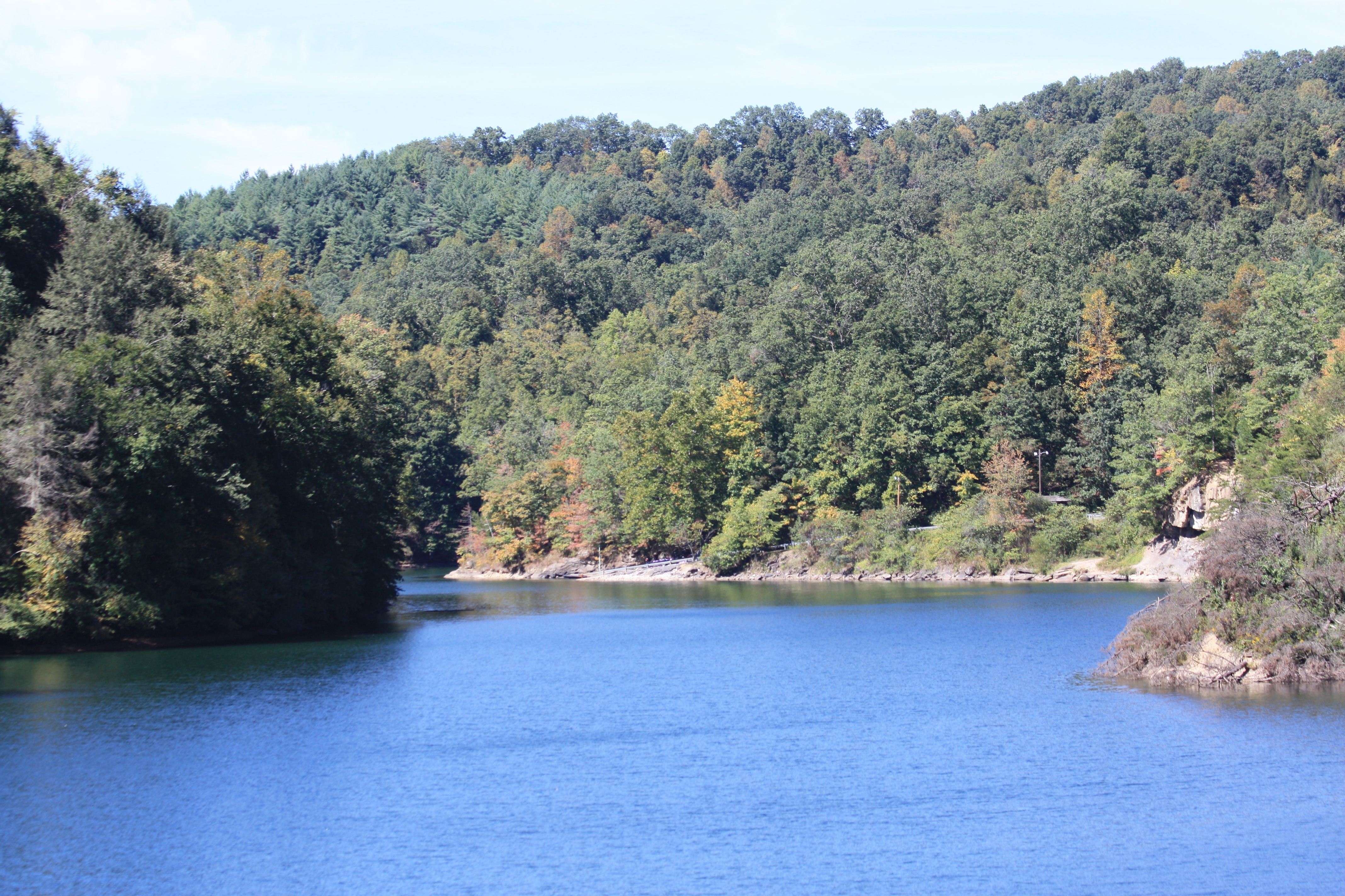
North Fork of Pound Lake
Pine Mountain Tunnel - 1848 - right side

September 21 US23 US119 KY
Topographic Map of Main St, Pound, VA, USA
Find elevation by address:

Places near Main St, Pound, VA, USA:
Pound
Ferbie Rd, Pound, VA, USA
KY-, Burdine, KY, USA
Burdine
KY-, Jenkins, KY, USA
Clintwood
State Route 621
Jacob Yates Road
KY-, Jenkins, KY, USA
205 Commonwealth Dr
205 Commonwealth Dr
Clintwood
Davis Service And Towing Center
Birch Knob Drive
333 Noels Ln
Clintwood, VA, USA
Willis
Lyall Ridge
Clinchco
Dickenson County
Recent Searches:
- Elevation of Corso Fratelli Cairoli, 35, Macerata MC, Italy
- Elevation of Tallevast Rd, Sarasota, FL, USA
- Elevation of 4th St E, Sonoma, CA, USA
- Elevation of Black Hollow Rd, Pennsdale, PA, USA
- Elevation of Oakland Ave, Williamsport, PA, USA
- Elevation of Pedrógão Grande, Portugal
- Elevation of Klee Dr, Martinsburg, WV, USA
- Elevation of Via Roma, Pieranica CR, Italy
- Elevation of Tavkvetili Mountain, Georgia
- Elevation of Hartfords Bluff Cir, Mt Pleasant, SC, USA