Elevation of Main St, Goodwell, OK, USA
Location: United States > Oklahoma > Texas County > Goodwell >
Longitude: -101.63276
Latitude: 36.5935369
Elevation: 1006m / 3301feet
Barometric Pressure: 90KPa
Elevation Map:
Satellite Map:
Related Photos:

My view running today #snow #ice

Soft Wind

Strength in Mass

Plain Symphony

Grand Arrival

Last Stand

Ground Texture

Spinning towards the Moon

Fence forward

Lookin up to Heaven

Light Strikes

Sunset Lane

Lost Carnival

Puddle Fair

God's Audience

Steps To..
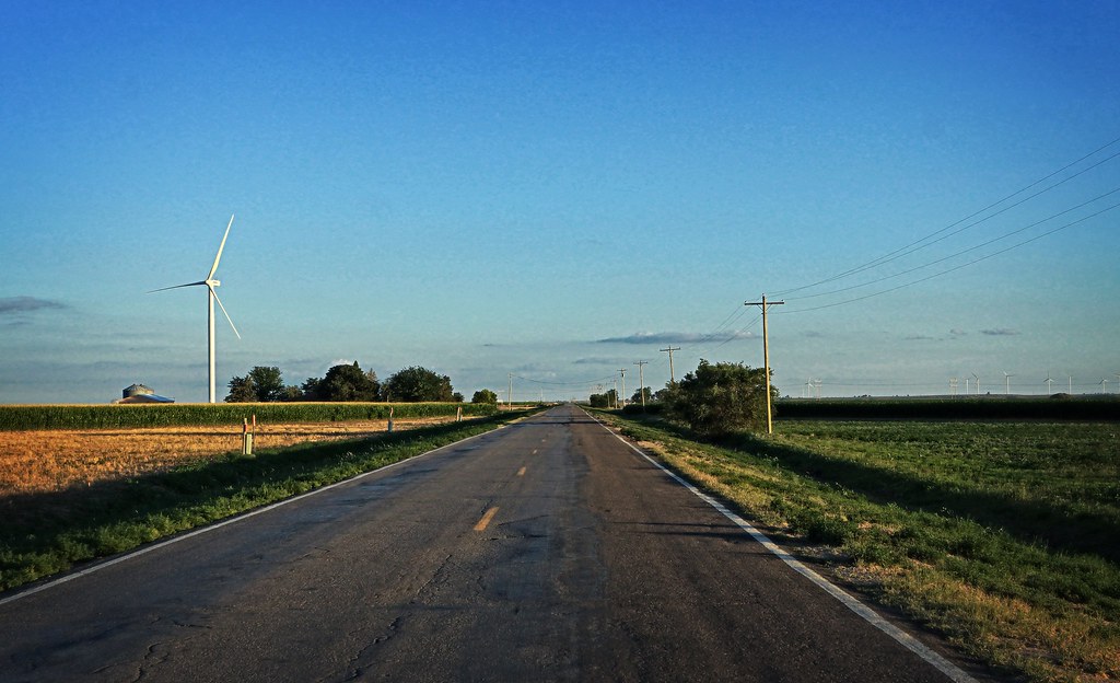
Heading Back

Toying with the Moon

Sweet Dreams

Prairie Sunrise

Rainbow Shyness

Oklahoma Pasture
Topographic Map of Main St, Goodwell, OK, USA
Find elevation by address:

Places near Main St, Goodwell, OK, USA:
Goodwell
Guymon
Texas County
Optima
Elkhart
Taloga
Morton County
Hugoton
Stevens County
Boise City
North Cimarron Avenue & East 5th
Co Rd 49, Walsh, CO, USA
Cimarron Heritage Center
Manter
Saunders
Ulysses, KS, USA
Grant County
Cimarron County
Walsh
Lincoln
Recent Searches:
- Elevation of Beall Road, Beall Rd, Florida, USA
- Elevation of Leguwa, Nepal
- Elevation of County Rd, Enterprise, AL, USA
- Elevation of Kolchuginsky District, Vladimir Oblast, Russia
- Elevation of Shustino, Vladimir Oblast, Russia
- Elevation of Lampiasi St, Sarasota, FL, USA
- Elevation of Elwyn Dr, Roanoke Rapids, NC, USA
- Elevation of Congressional Dr, Stevensville, MD, USA
- Elevation of Bellview Rd, McLean, VA, USA
- Elevation of Stage Island Rd, Chatham, MA, USA