Elevation of Main St, Chancellor, SD, USA
Location: United States > South Dakota > Turner County > Chancellor >
Longitude: -96.987206
Latitude: 43.3723679
Elevation: 416m / 1365feet
Barometric Pressure: 96KPa
Elevation Map:
Satellite Map:
Related Photos:

Sunset in Tea.
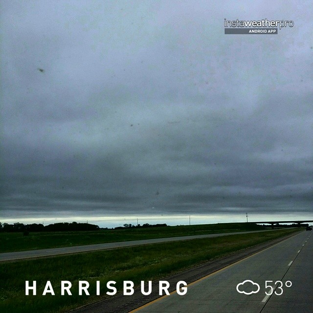
#instaweather #instaweatherpro #weather #wx #android #sky #outdoors #nature #world #love #followme #follow #beautiful #instagood #fun #cool #like #life #nice #happy #colorful #photooftheday #amazing #harrisburg #sd #day #spring #clouds #afternoon #hot #sd
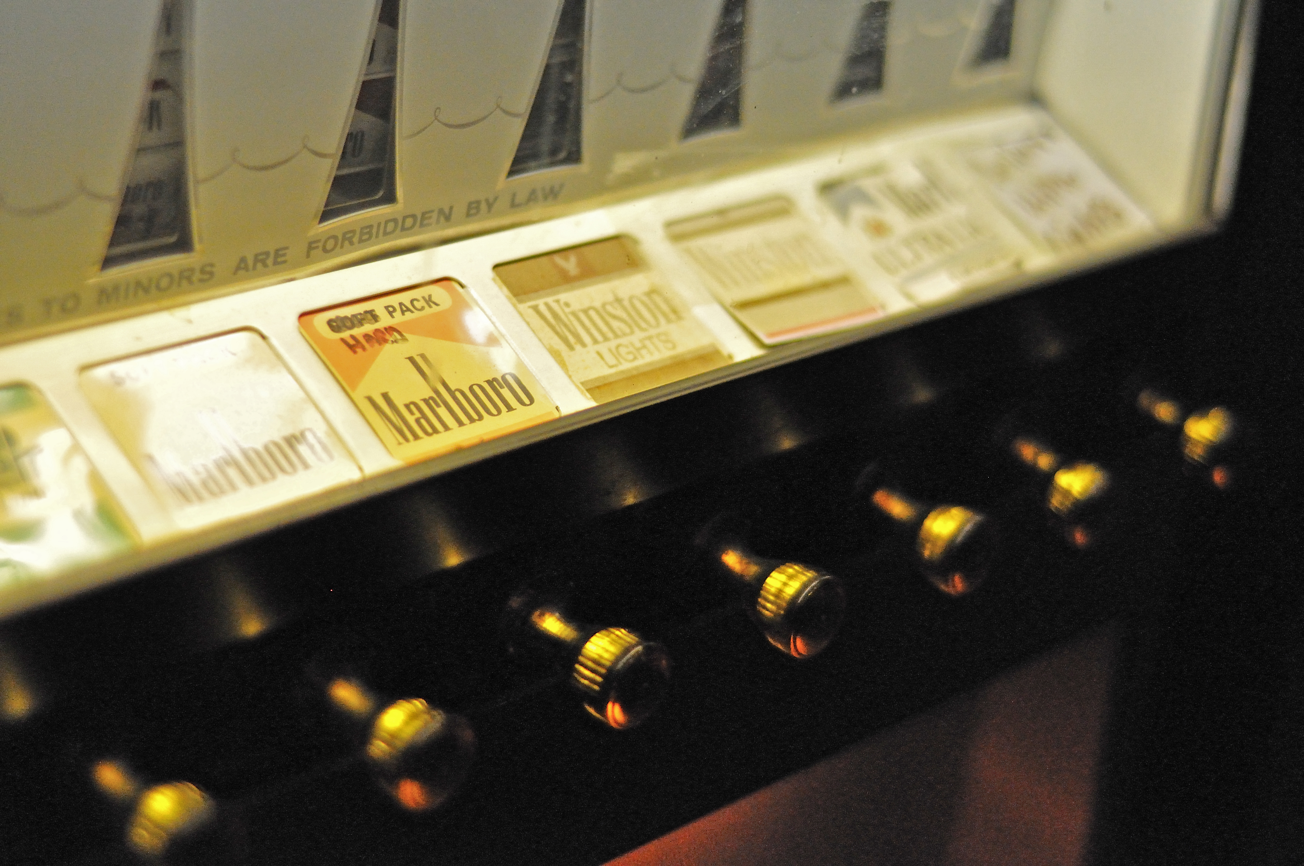
Addictive Vending

Hungry Hound
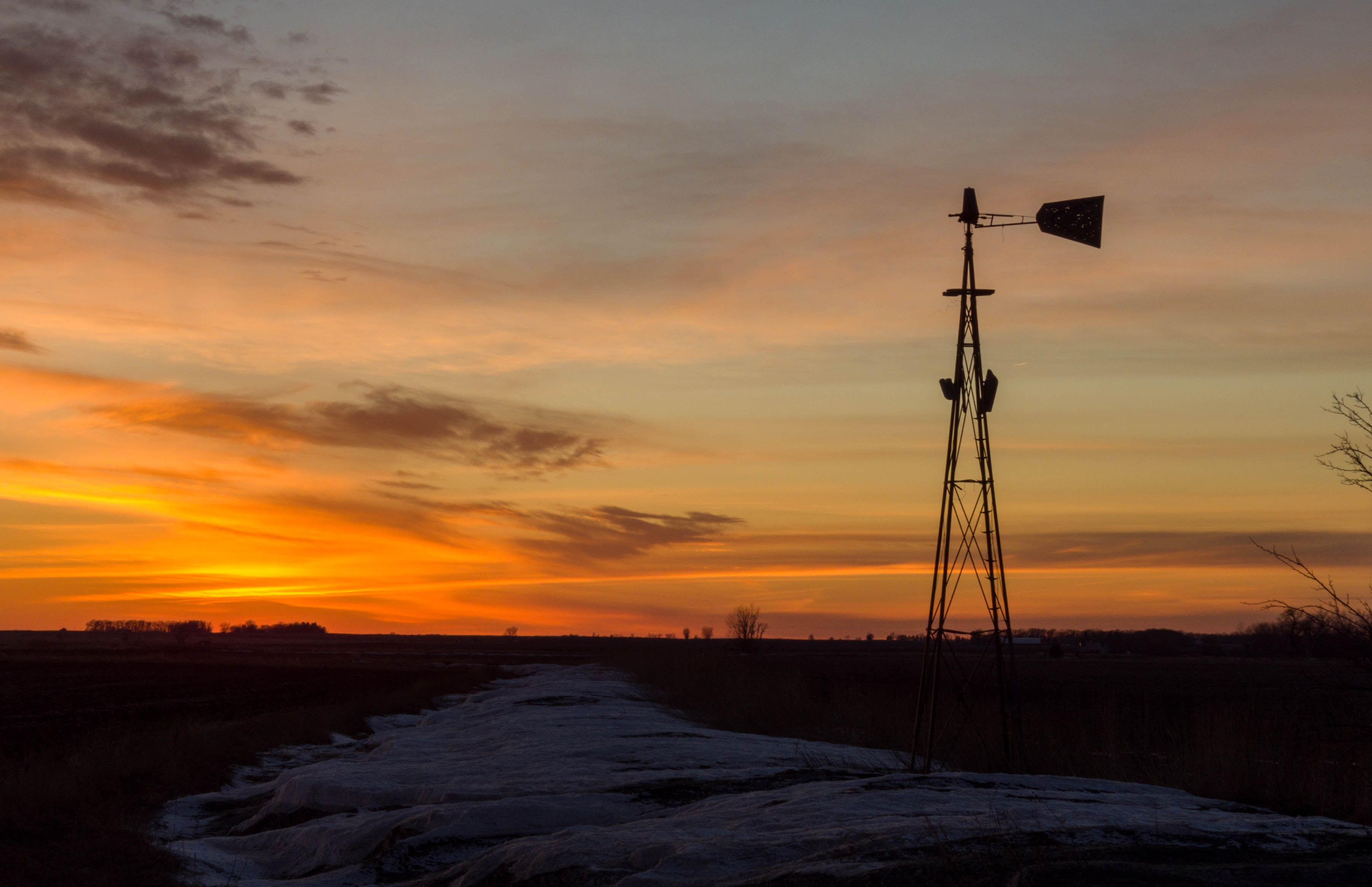
Old Windmill at Sunset
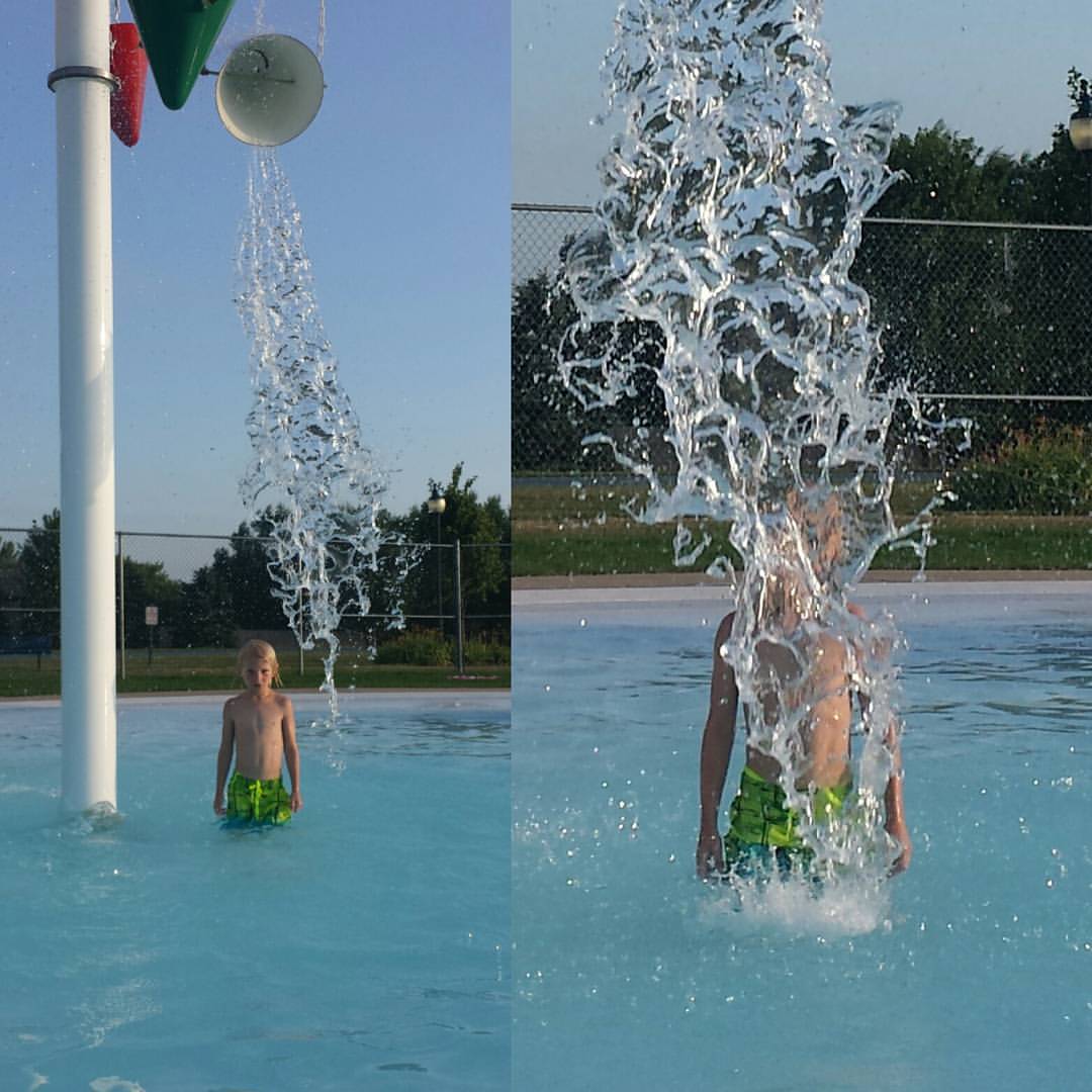
Fun night at the tea pool!
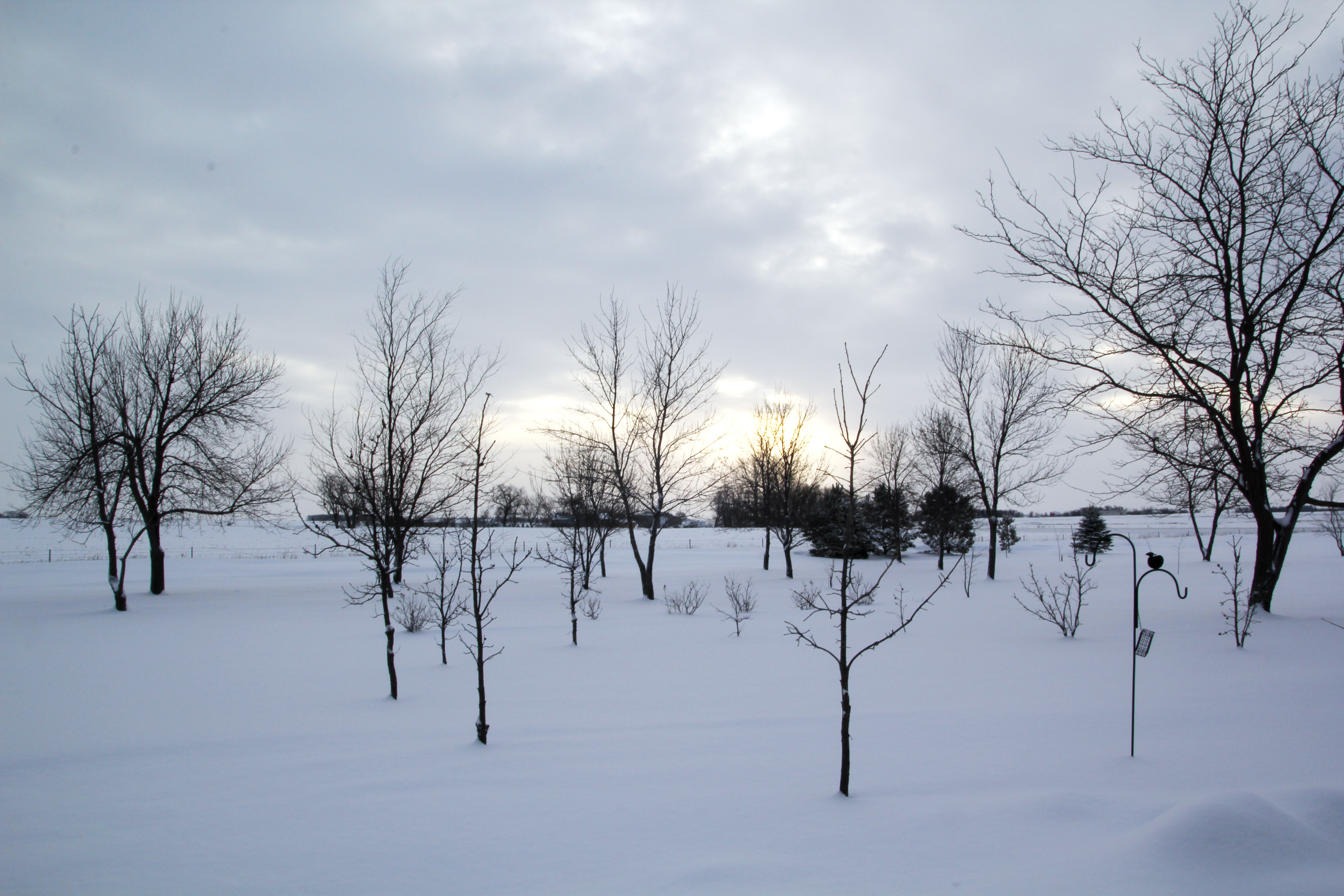
2015 Dec 29_2392
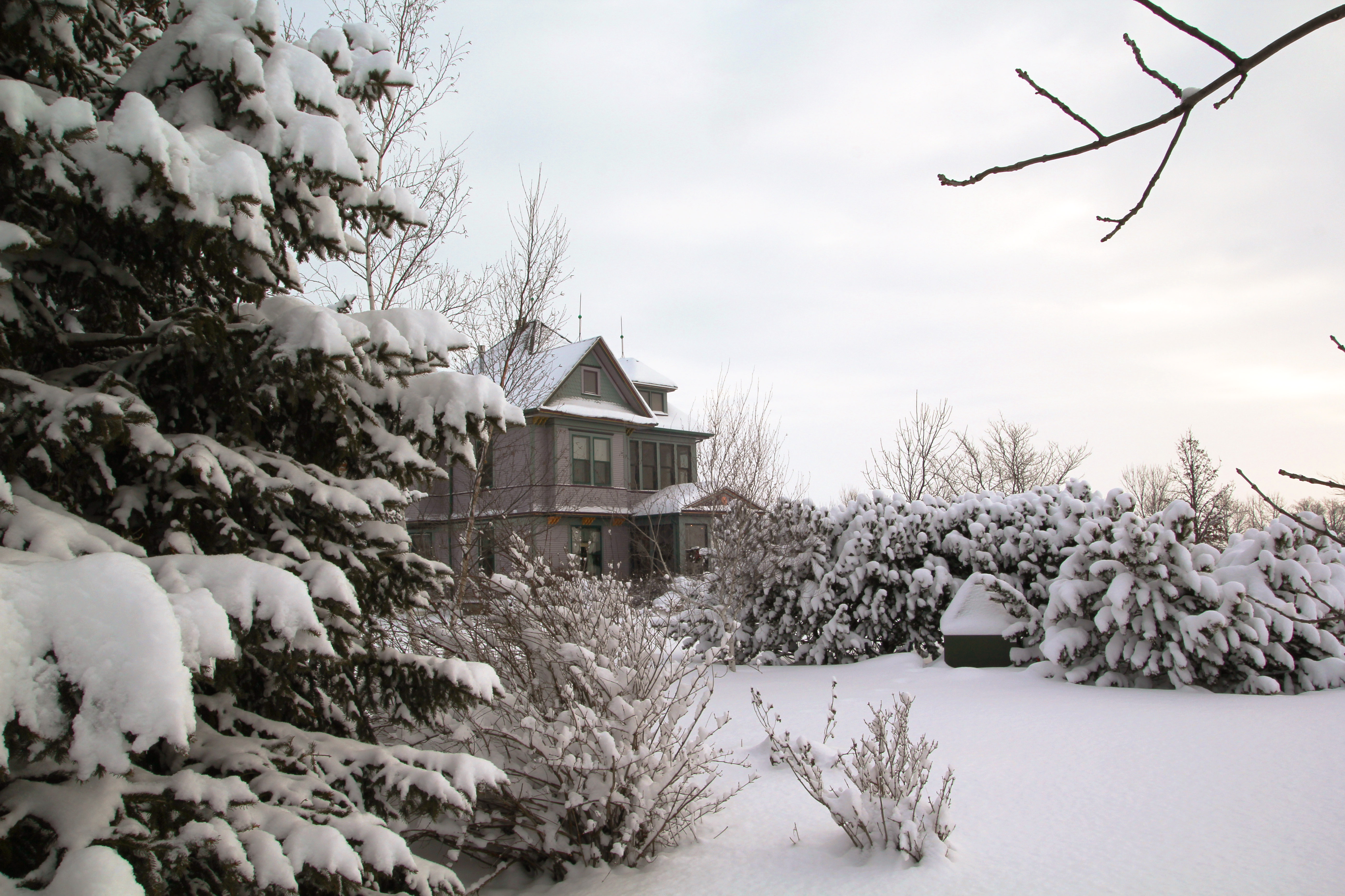
2015 Dec 29_2425
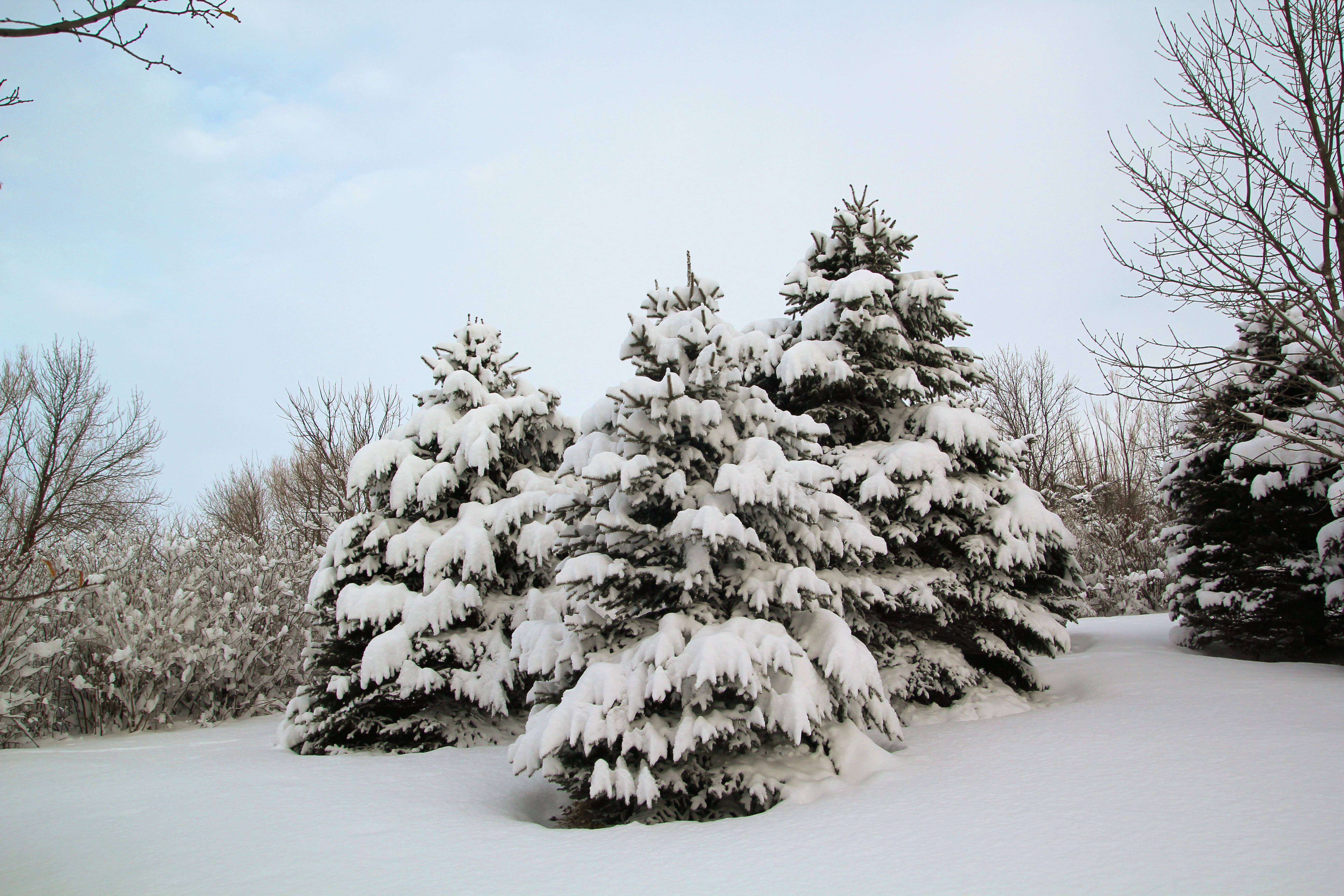
2015 Dec 29_2442
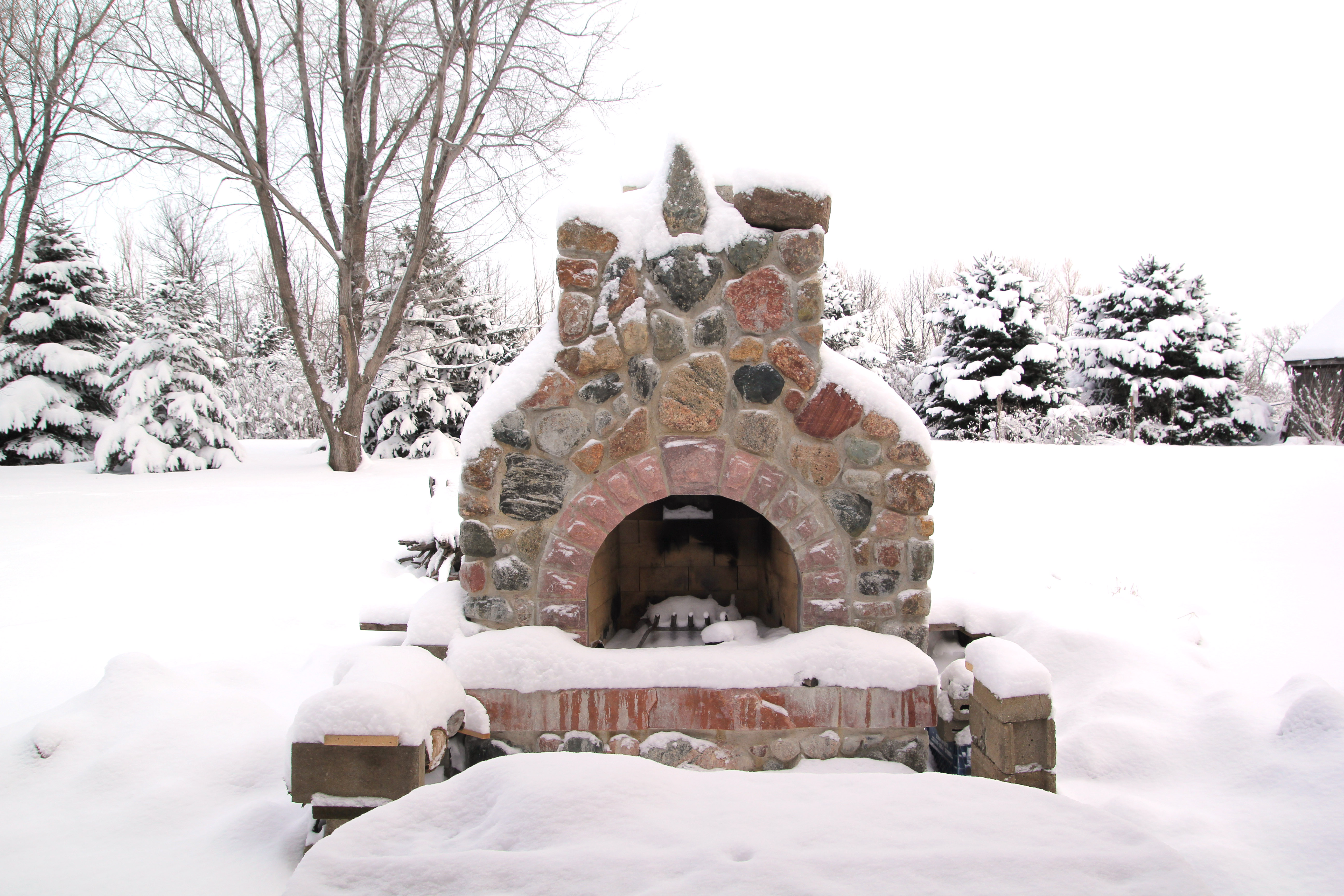
2015 Dec 29_2444
2015 Dec 29_2464
2015 Dec 29_2493
2015 Dec 26_2476
2015 Dec 26_2512
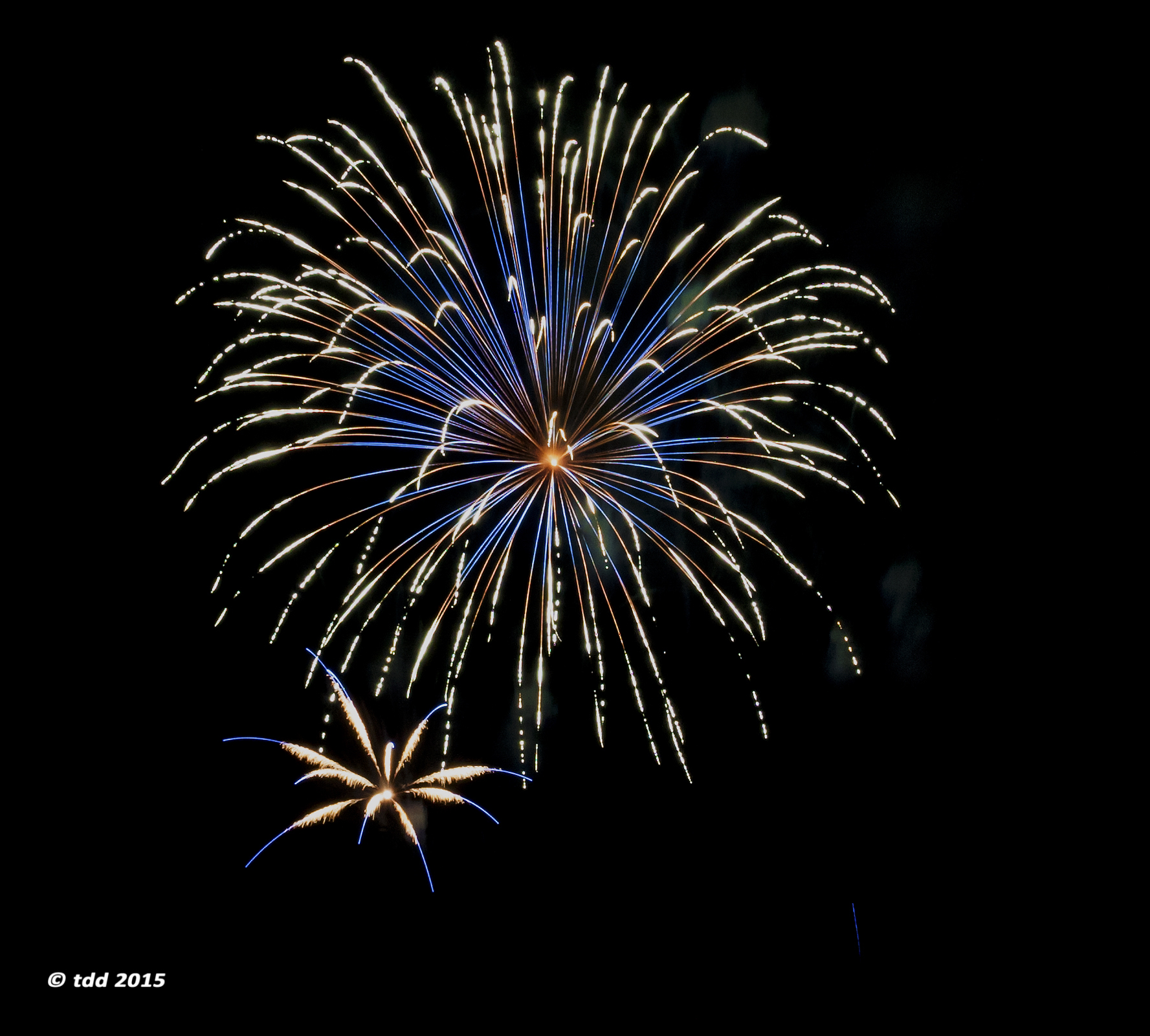
blue shower

red glare
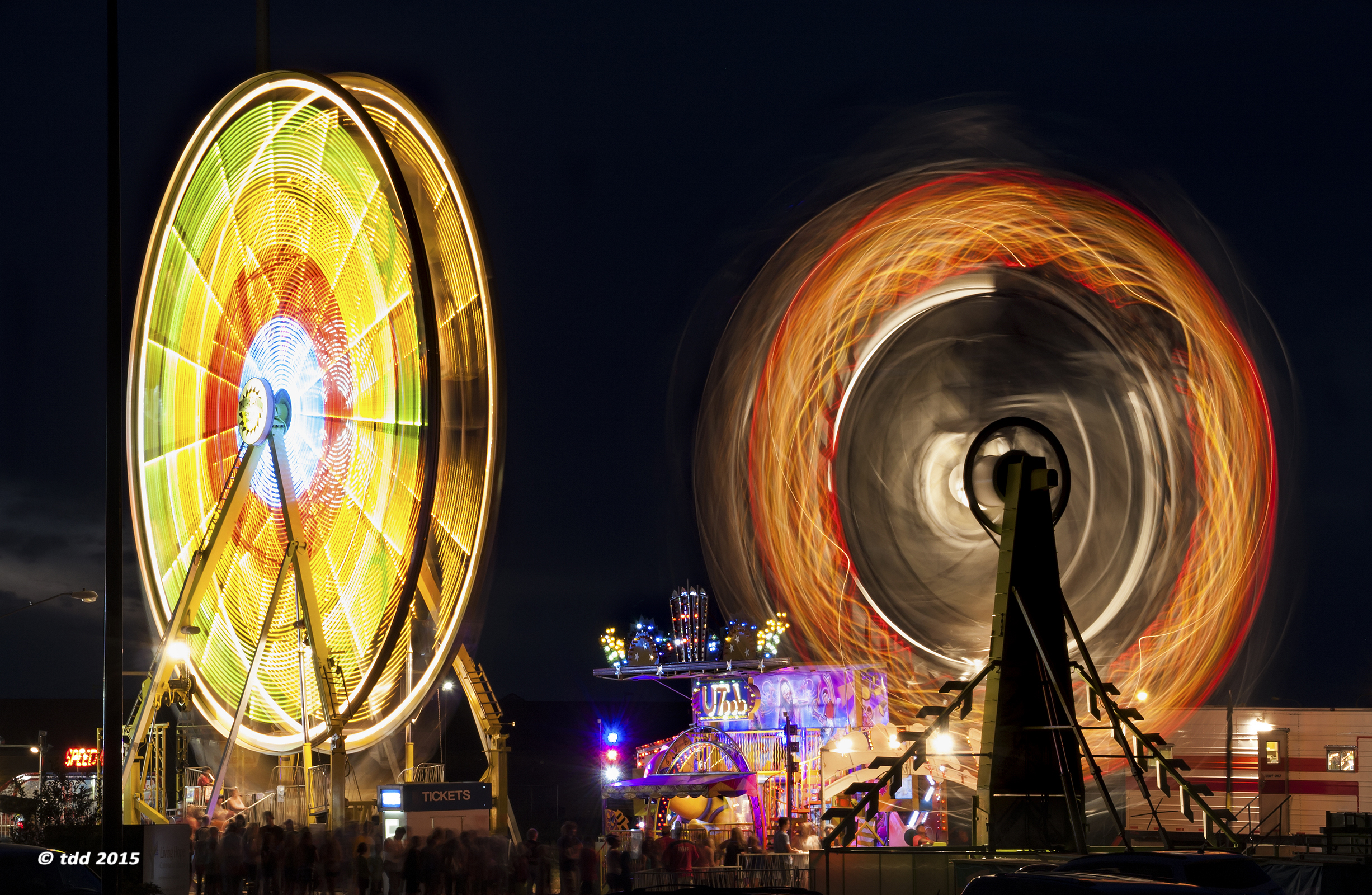
the wheel & the zipper
tall iced?

Old Windmill at Sunset

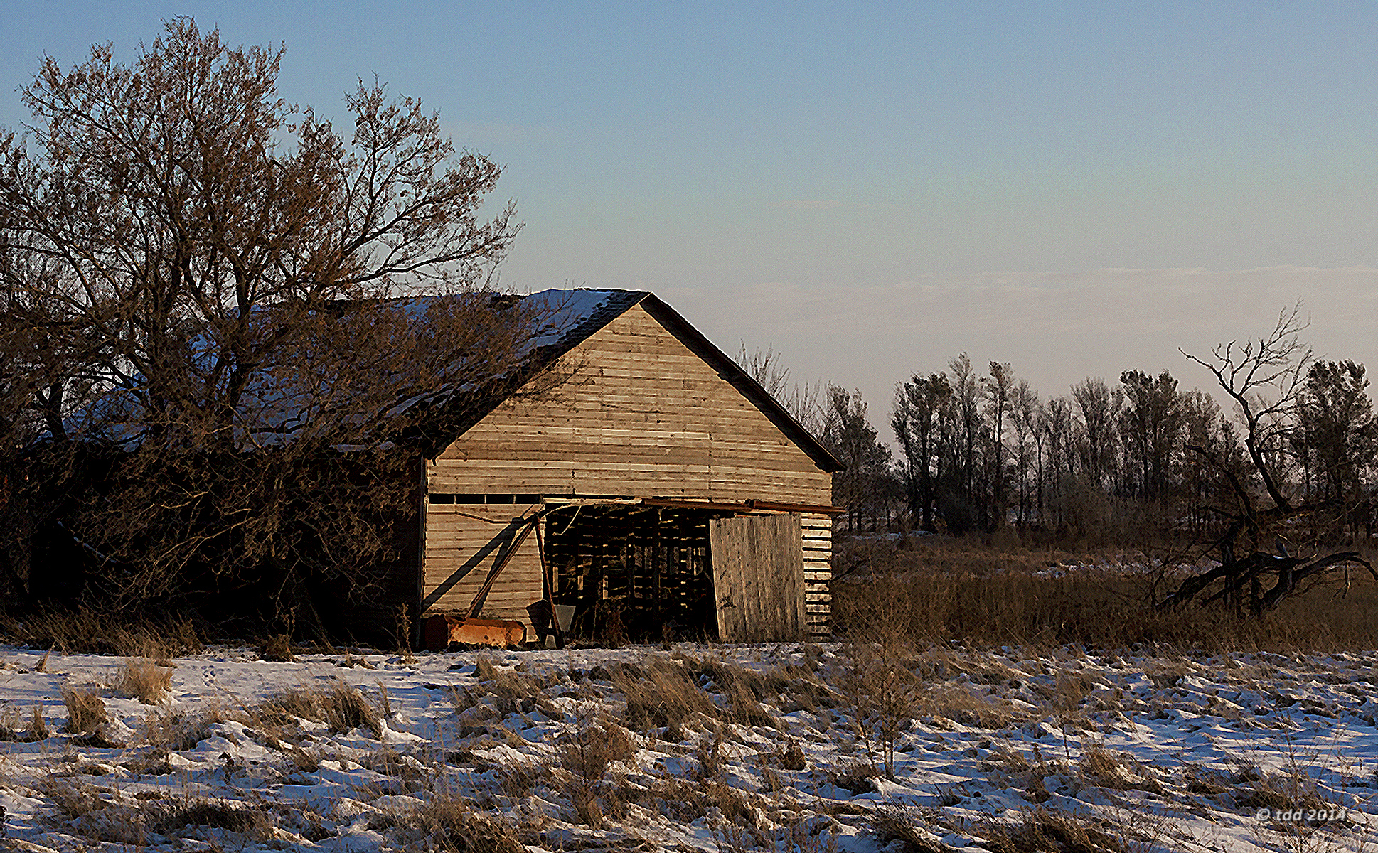
haunted homestead

haunted homestead 2

looking for love
morning glory
Topographic Map of Main St, Chancellor, SD, USA
Find elevation by address:

Places near Main St, Chancellor, SD, USA:
Chancellor
S Main St, Lennox, SD, USA
Lennox
Delapre Township
459th Avenue
th St, Sioux Falls, SD, USA
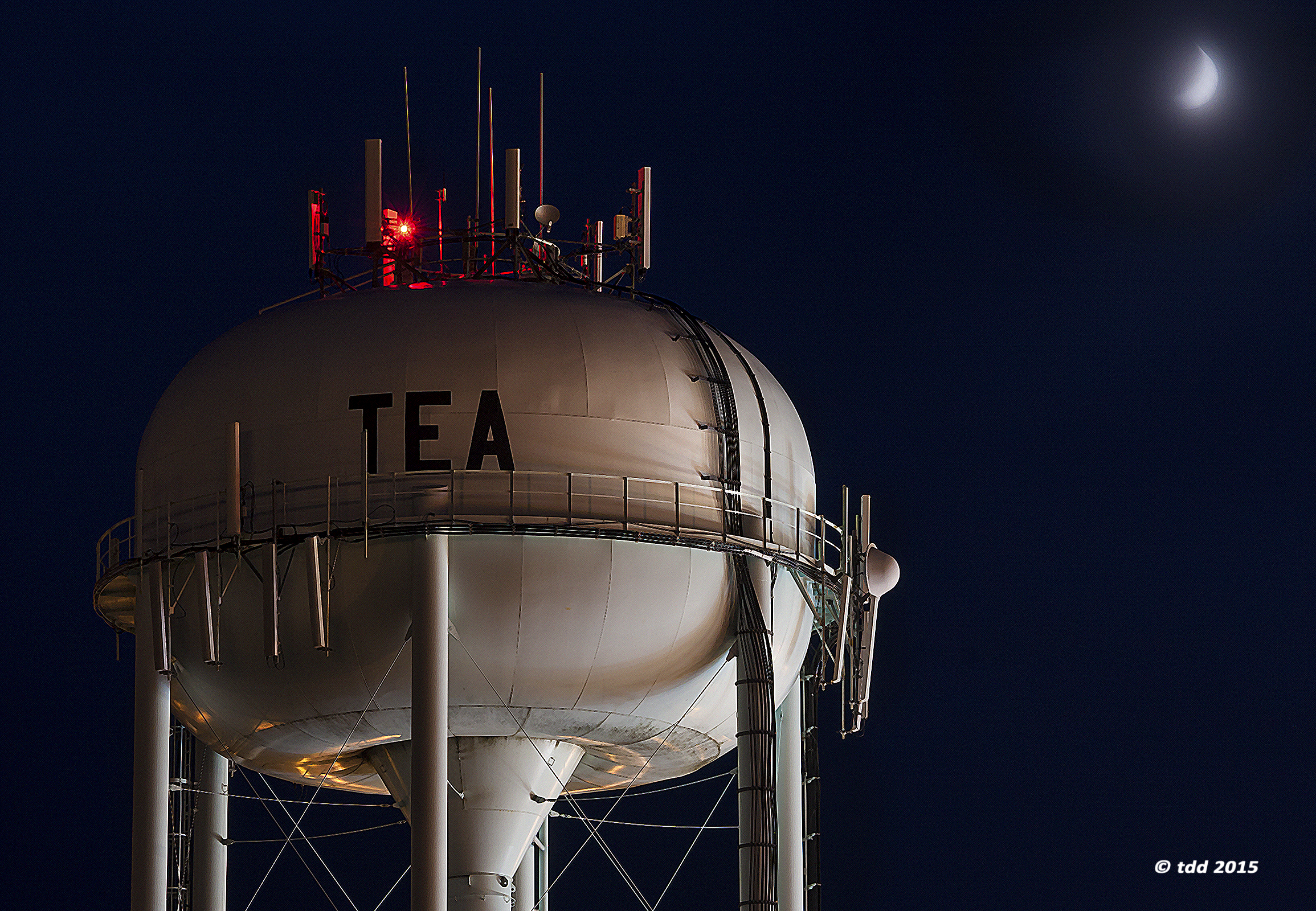
Tea
920 Steep St
26574 466th Ave
7909 W 65th St
5539 S Wexford Ct
7420 W 51st St
5412 S Anthony Ave
Annabelle Street
2252 S Ellis Rd
6505 W 53rd St
7604 W Regina St
6309 W 53rd St
9312 West Dragonfly Drive
Lincoln County
Recent Searches:
- Elevation of Congressional Dr, Stevensville, MD, USA
- Elevation of Bellview Rd, McLean, VA, USA
- Elevation of Stage Island Rd, Chatham, MA, USA
- Elevation of Shibuya Scramble Crossing, 21 Udagawacho, Shibuya City, Tokyo -, Japan
- Elevation of Jadagoniai, Kaunas District Municipality, Lithuania
- Elevation of Pagonija rock, Kranto 7-oji g. 8"N, Kaunas, Lithuania
- Elevation of Co Rd 87, Jamestown, CO, USA
- Elevation of Tenjo, Cundinamarca, Colombia
- Elevation of Côte-des-Neiges, Montreal, QC H4A 3J6, Canada
- Elevation of Bobcat Dr, Helena, MT, USA