Elevation of Lincoln County, SD, USA
Location: United States > South Dakota >
Longitude: -96.835099
Latitude: 43.2026862
Elevation: 393m / 1289feet
Barometric Pressure: 97KPa
Elevation Map:
Satellite Map:
Related Photos:
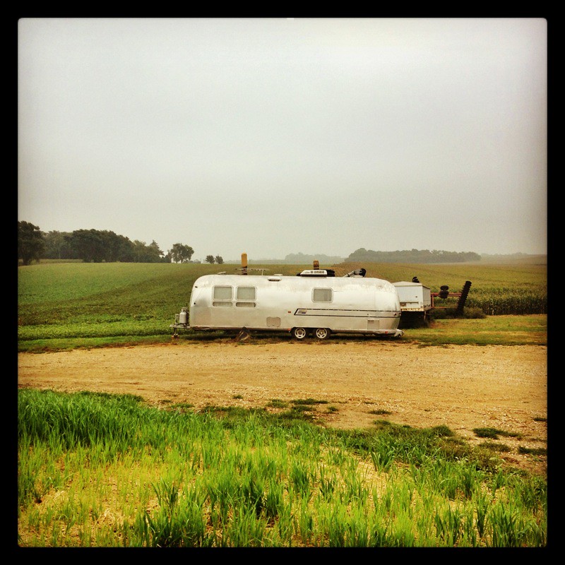
IMG_2257.JPG
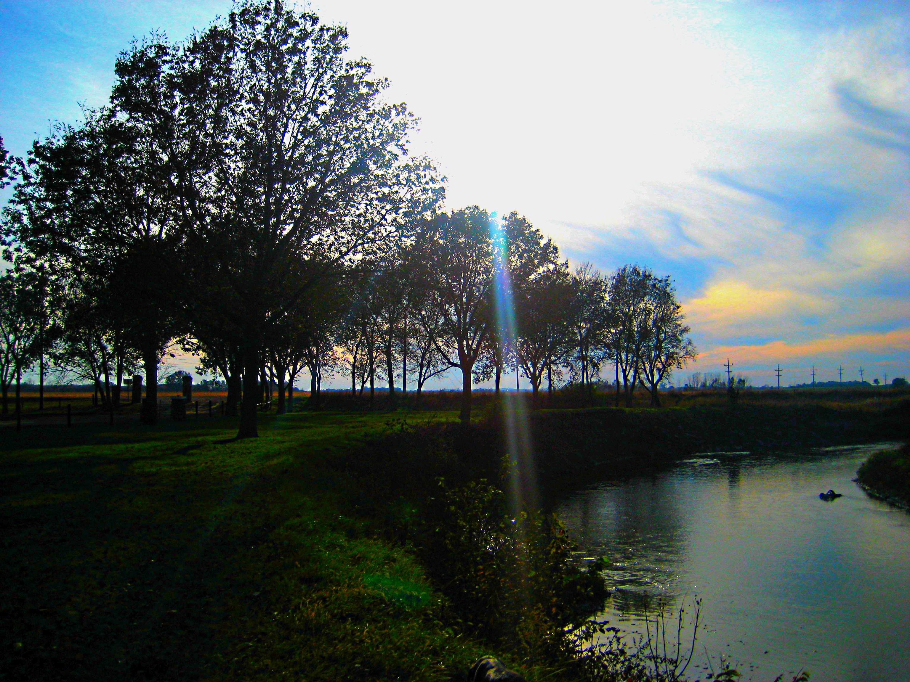
Vermillion river/"the beach"
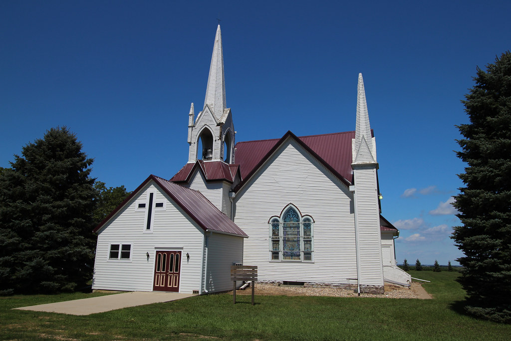
Skrefsrud Lutheran Church - rural Beresford, SD

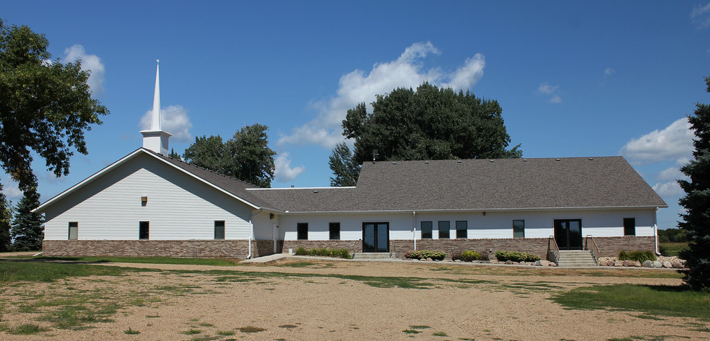
Brooklyn Evangelical Free Church - rural Beresford, SD

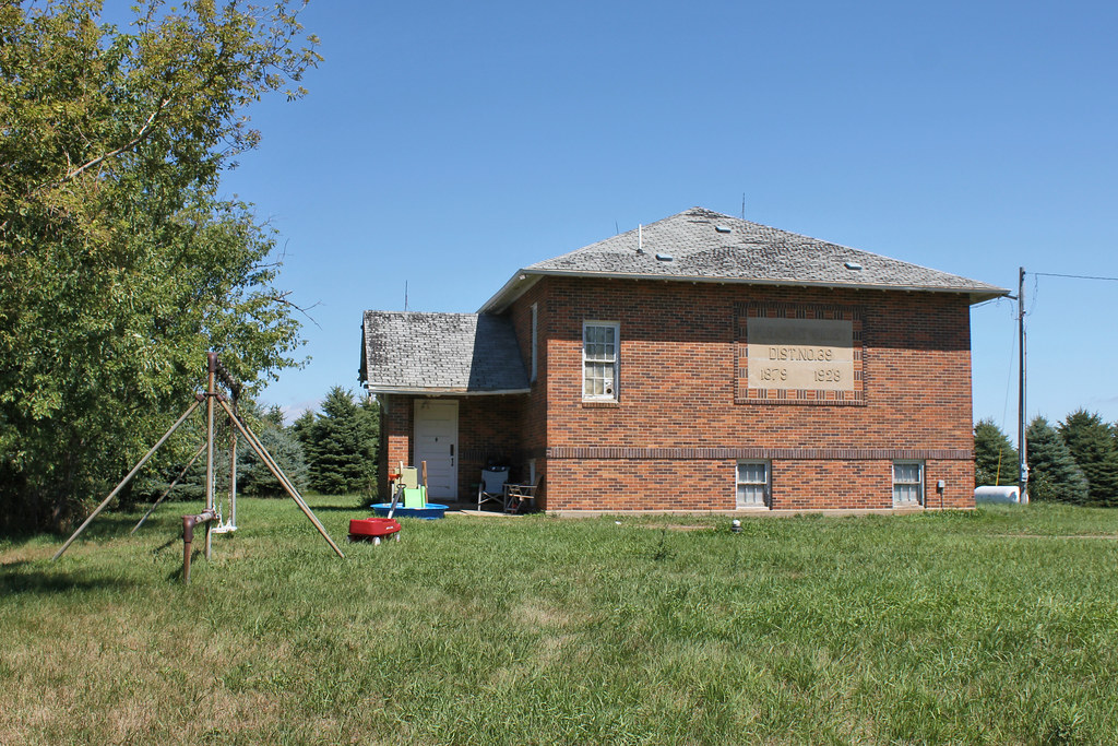
Brooklyn School - rural Beresford, SD
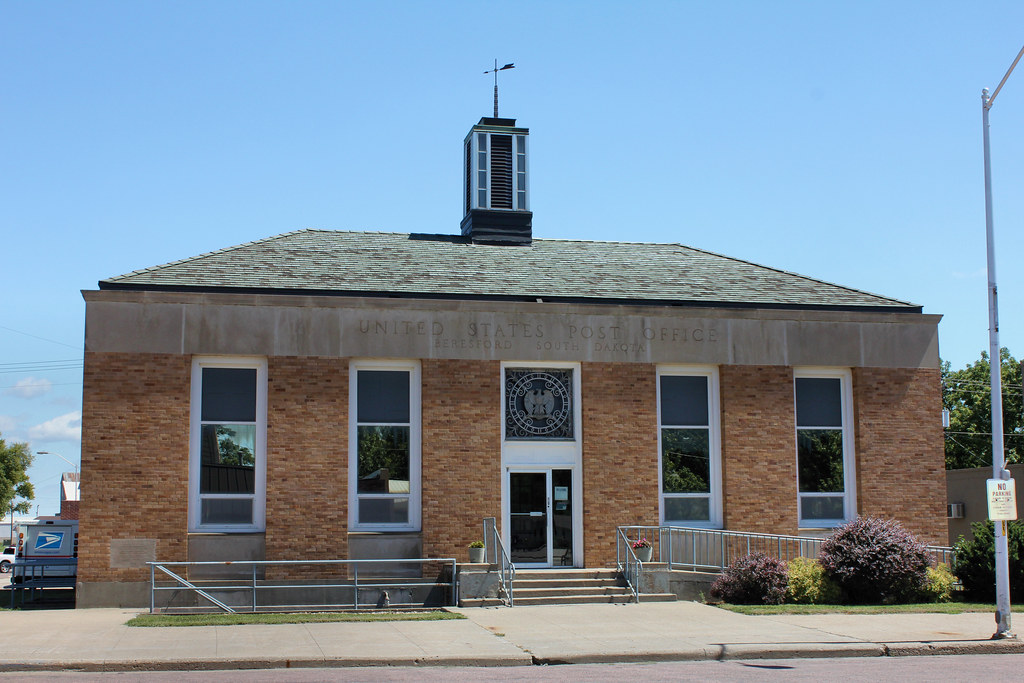
Post Office - Beresford, SD
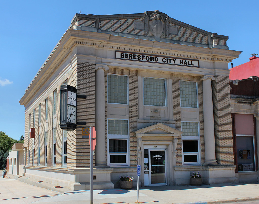
Bank Building (City Hall) - Beresford, SD
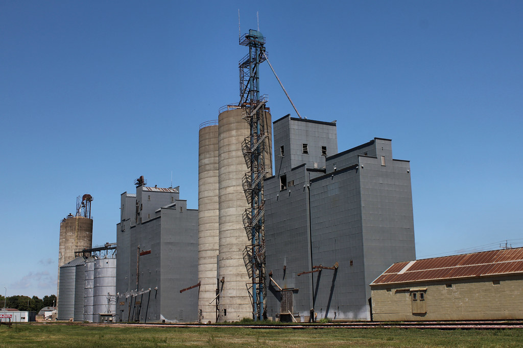
Grain Elevators - Beresford, SD
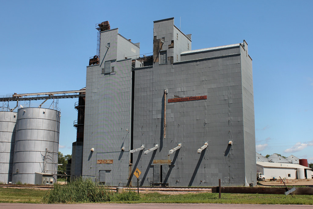
Farmers Co-Op Elevator - Beresford, SD
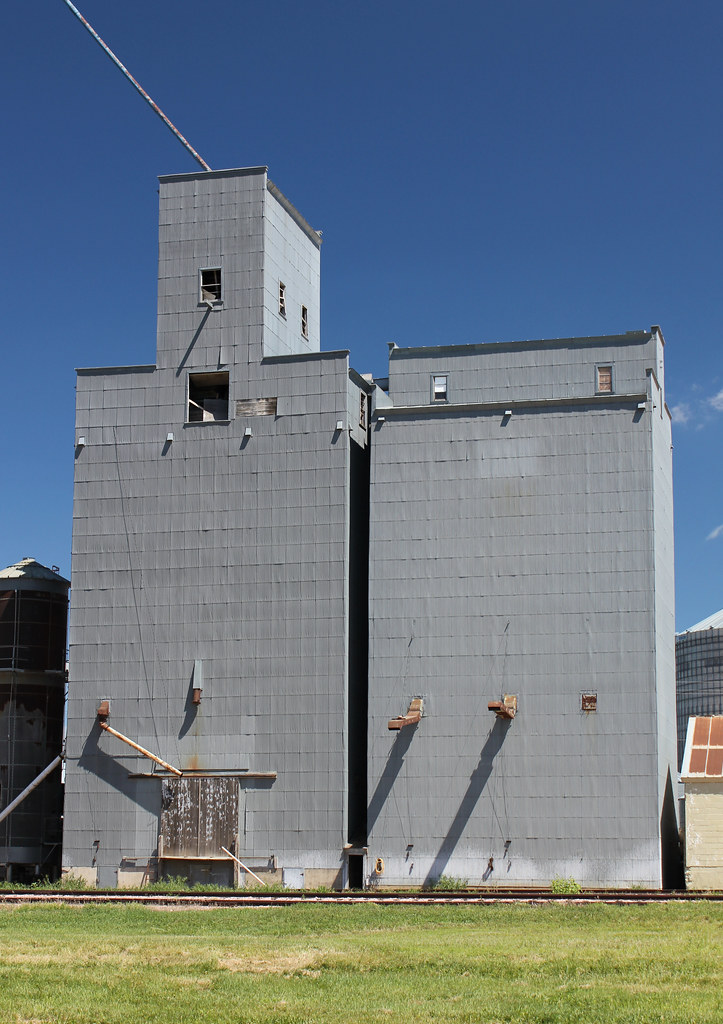
Grain Elevator - Beresford, SD
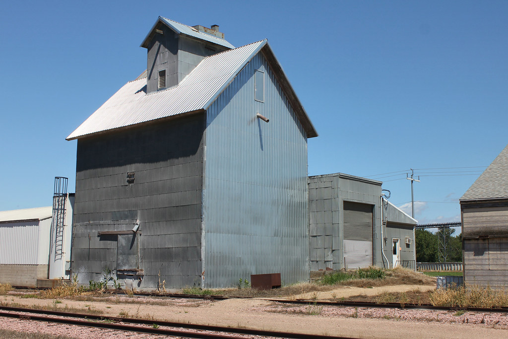
Grain Elevator - Beresford, SD
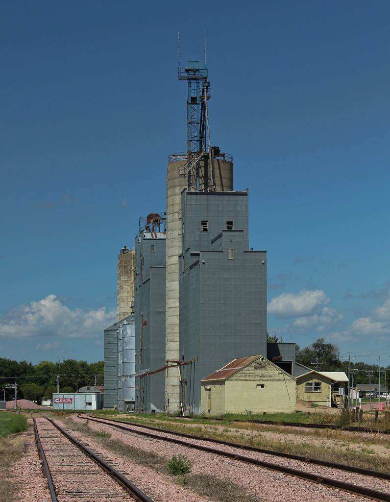
Grain Elevators - Beresford, SD
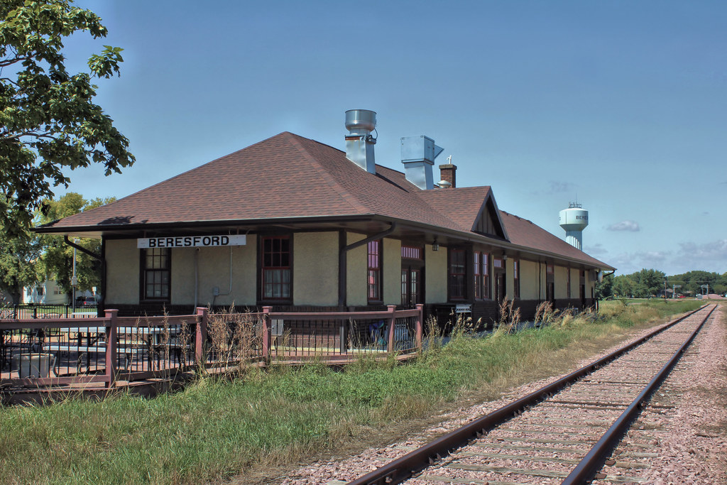
Chicago & North Western Railroad Depot - Beresford, SD

Morning Star School - rural Centerville, SD
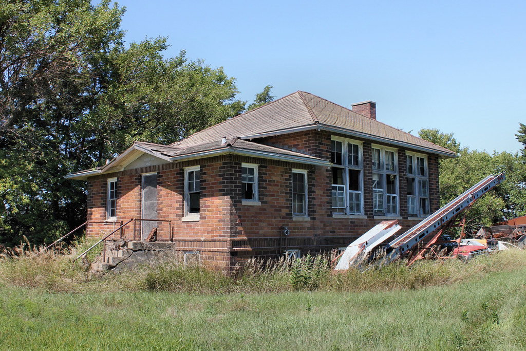
Morning Star School - rural Centerville, SD
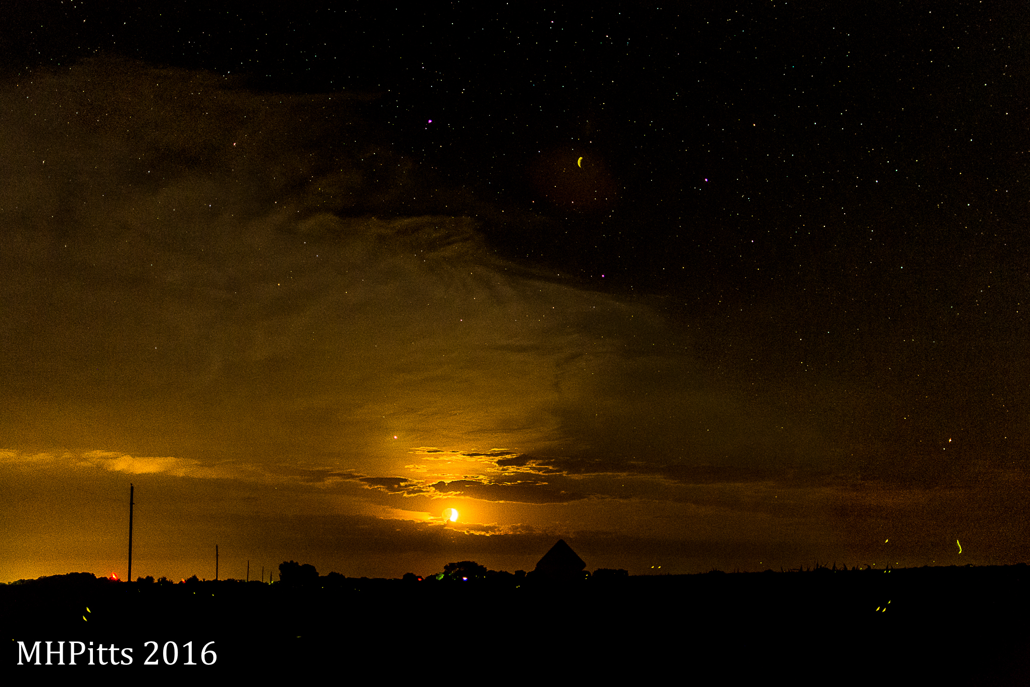
Moonset July 16
Delaware Reformed Church - rural Davis, SD
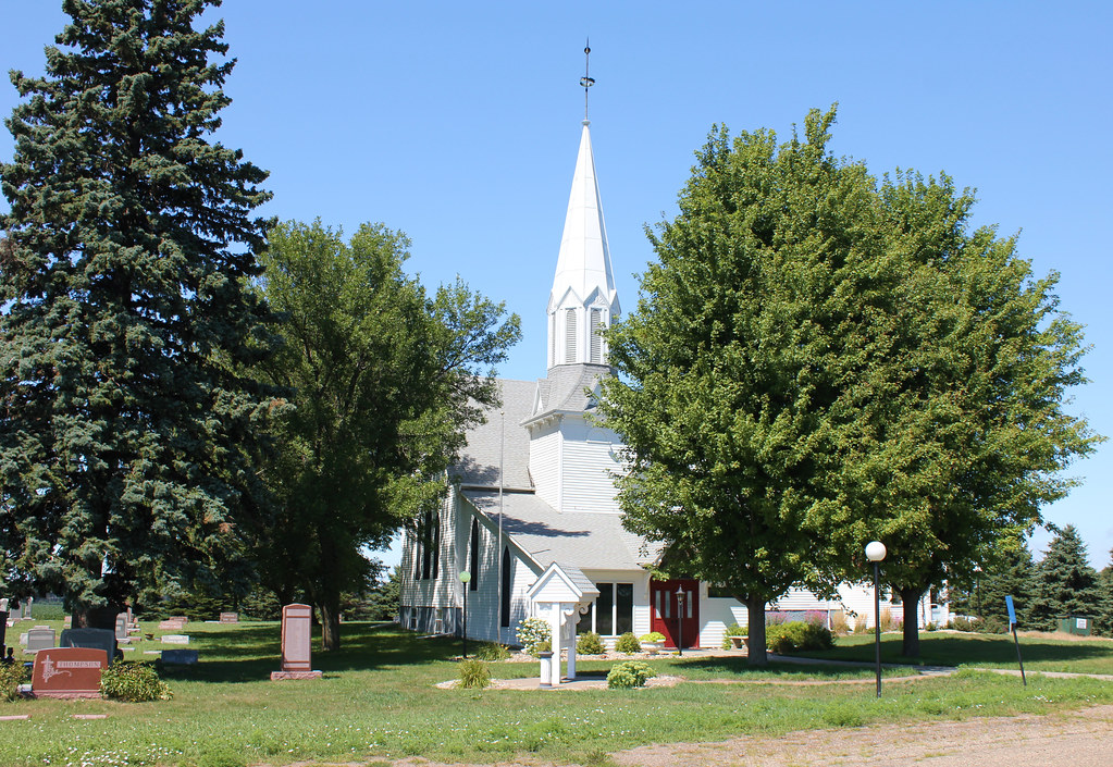
Romsdal Lutheran Church - rural Beresford, SD
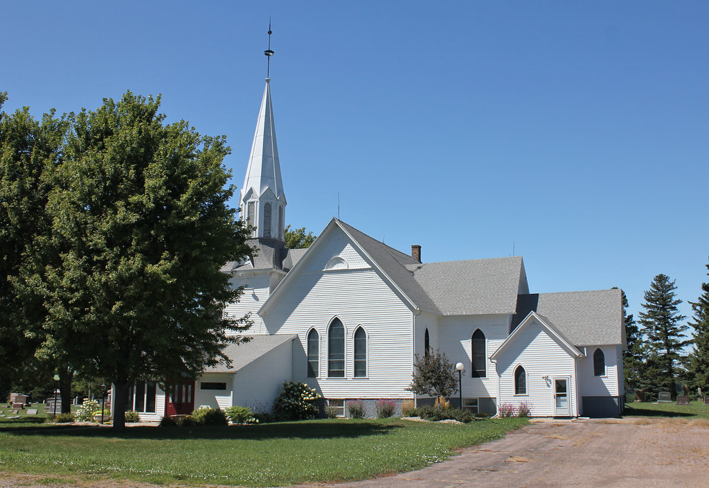
Romsdal Lutheran Church - rural Beresford, SD

Pleasant Valley School - rural Beresford, SD
Pleasant Valley School - rural Beresford, SD

Mount Hope School - rural Beresford, SD
Topographic Map of Lincoln County, SD, USA
Find elevation by address:

Places in Lincoln County, SD, USA:
Places near Lincoln County, SD, USA:
Beresford
Centerville
Broadway St, Centerville, SD, USA
Lennox
S Main St, Lennox, SD, USA
Centerville Township
Chancellor
Main St, Chancellor, SD, USA
501 W Industrial Rd
Tea
920 Steep St
Chokecherry Street
Chokecherry Street
Delapre Township
Canton
151 Devitt Dr
Harrisburg
402 Ofstad St
Alcester
E 1st St, Alcester, SD, USA
Recent Searches:
- Elevation of Steadfast Ct, Daphne, AL, USA
- Elevation of Lagasgasan, X+CQH, Tiaong, Quezon, Philippines
- Elevation of Rojo Ct, Atascadero, CA, USA
- Elevation of Flagstaff Drive, Flagstaff Dr, North Carolina, USA
- Elevation of Avery Ln, Lakeland, FL, USA
- Elevation of Woolwine, VA, USA
- Elevation of Lumagwas Diversified Farmers Multi-Purpose Cooperative, Lumagwas, Adtuyon, RV32+MH7, Pangantucan, Bukidnon, Philippines
- Elevation of Homestead Ridge, New Braunfels, TX, USA
- Elevation of Orchard Road, Orchard Rd, Marlborough, NY, USA
- Elevation of 12 Hutchinson Woods Dr, Fletcher, NC, USA