Elevation of Main St, Cato, WI, USA
Location: United States > Wisconsin > Manitowoc County > Kellnersville >
Longitude: -87.802375
Latitude: 44.225884
Elevation: 254m / 833feet
Barometric Pressure: 98KPa
Elevation Map:
Satellite Map:
Related Photos:
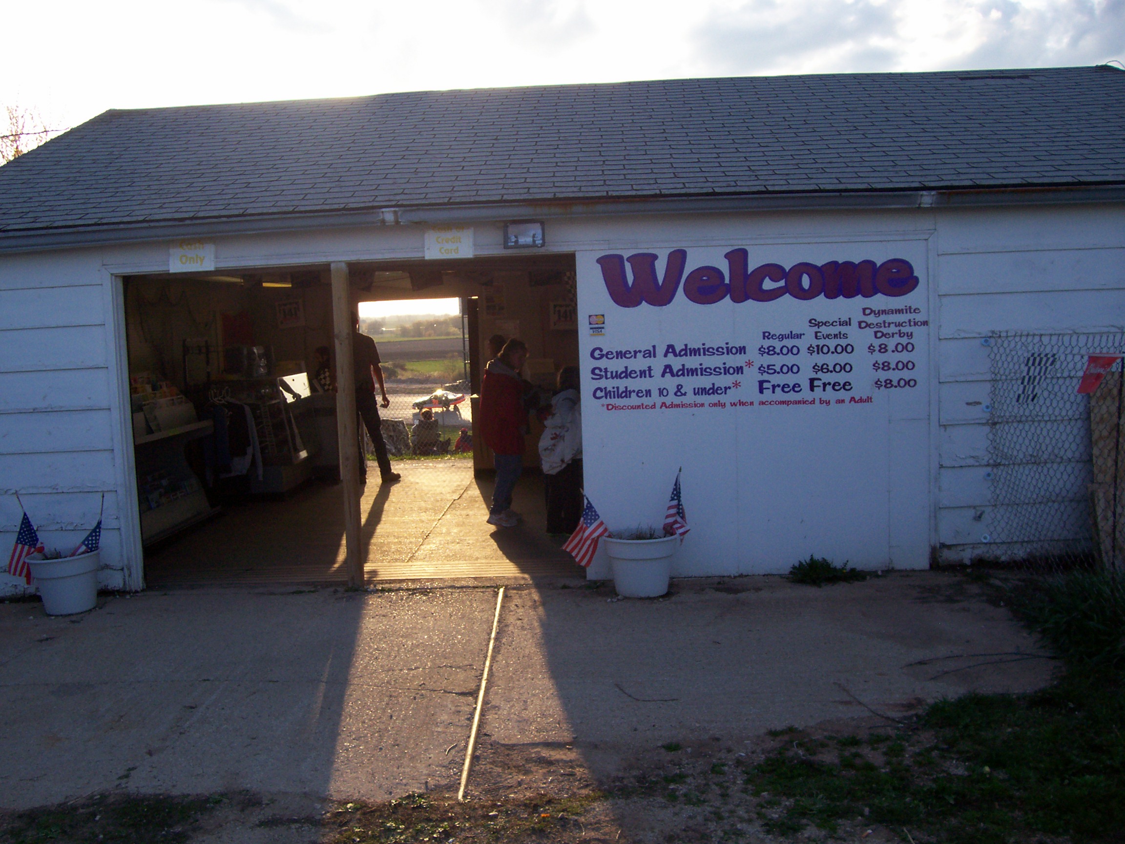
04.28.07 - 141 Speedway - Welcome to my 2007 tour

C&NW Kaukauna-Manitowoc RR railroad bridge abutments

C&NW Kaukauna-Manitowoc RR under the bridge

Gatling Gun..
Cooperstown Rd and Park View Pd

Tower house (Mishicot, WI)
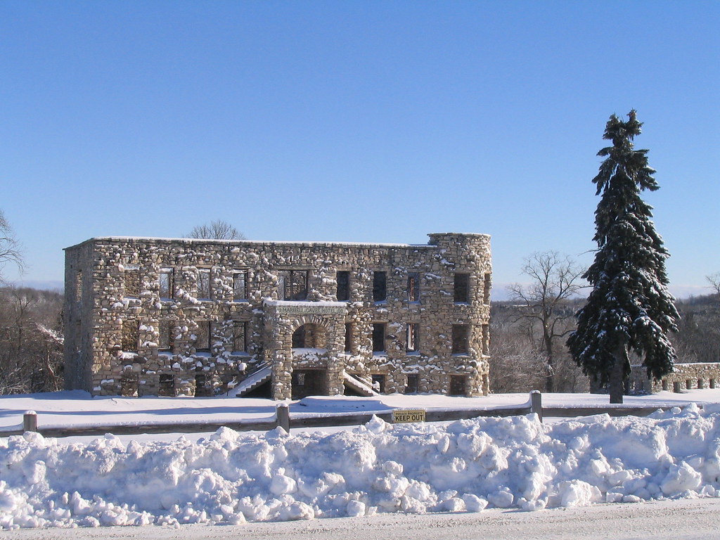
Maribel Caves Hotel

Maribel Grain Company

C&NW Kaukauna-Manitowoc RR branch
Cooperstown Rd and Park View Pd
Cooperstown Rd and Park View Pd

inside the triangle

C&NW Kaukauna-Manitowoc RR sixth

Town of Manitowoc Rapids "municipal" building

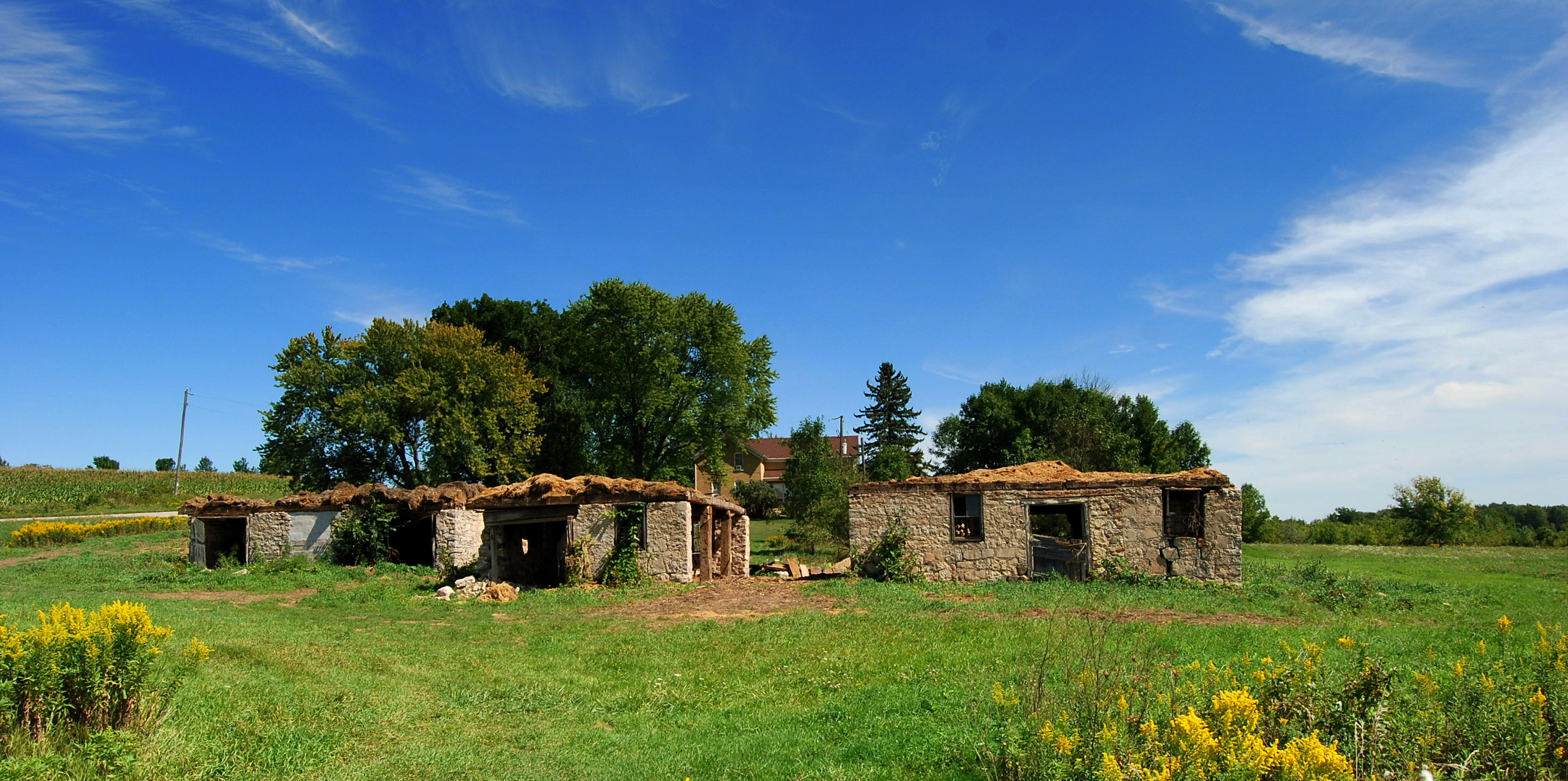
Remains of the Maribel Caves Hotel revisited

Denmark Cooperative Services

Denmark Cooperative Services

1966-67 Chevrolet Series 80 dump truck

Parker's Plane View drive-in

C&NW Kaukauna-Manitowoc RR hickory

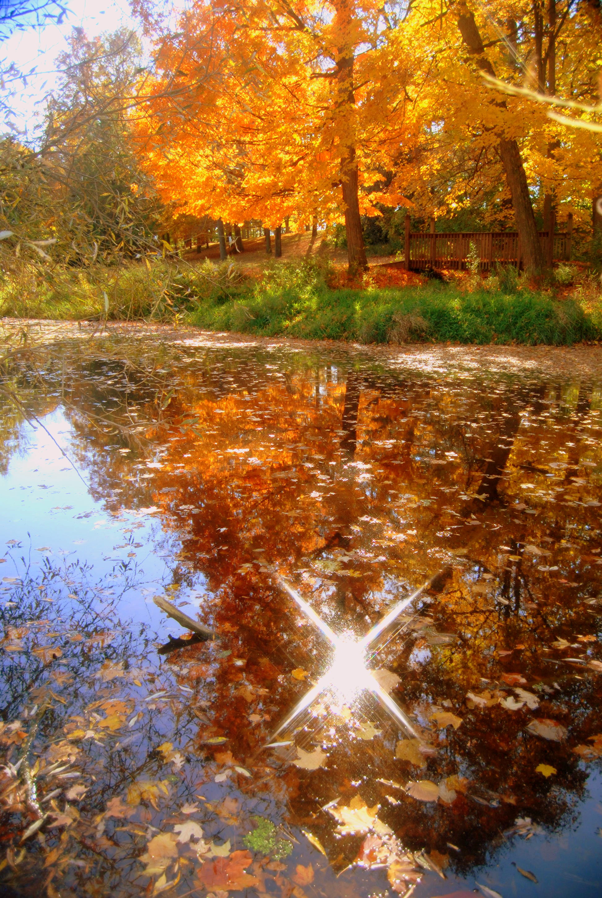
vibrant colors

Falls and light
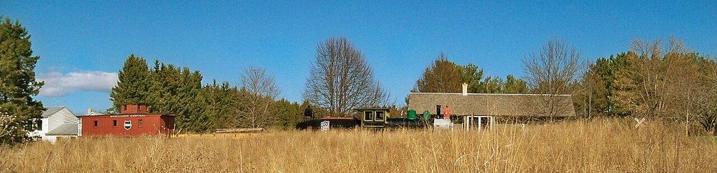
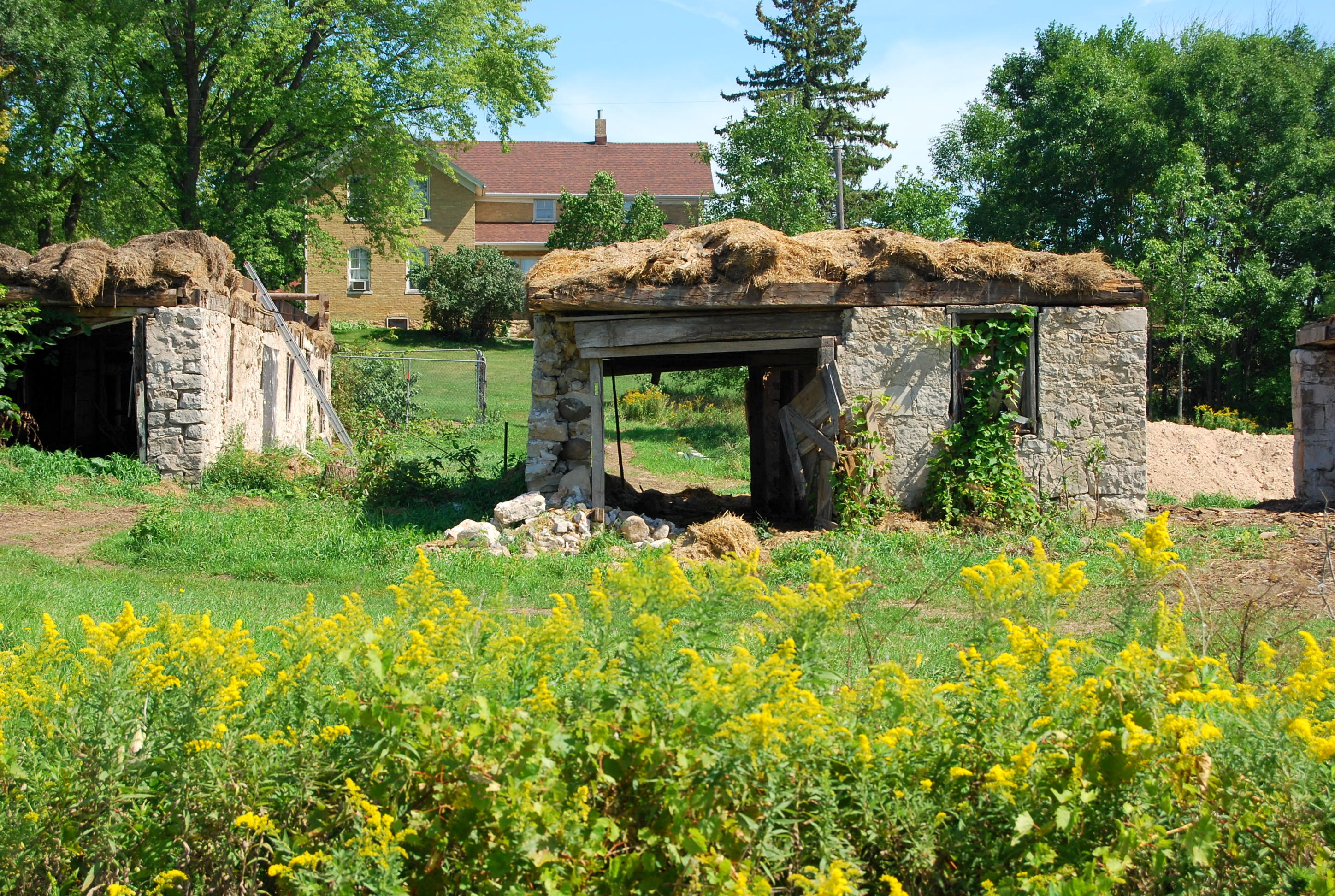
Pinecrest Historical Village
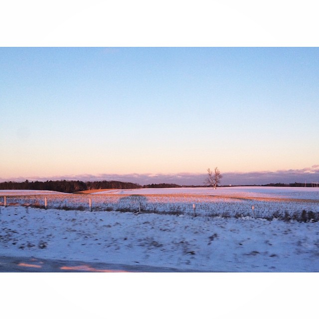
Fall 2011
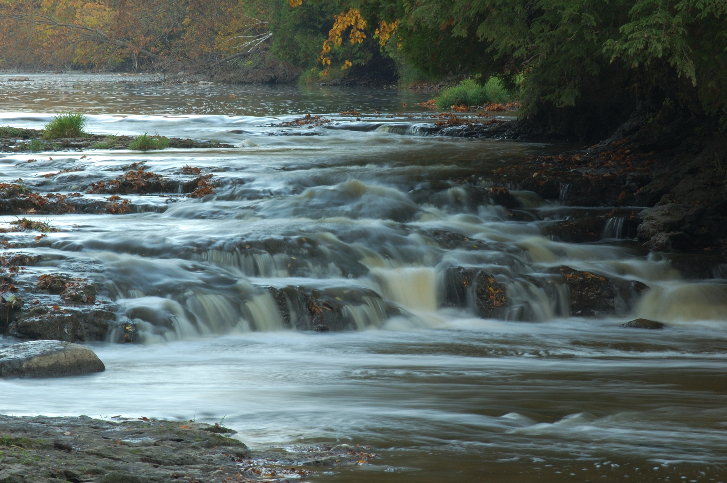
Face it Cato Falls
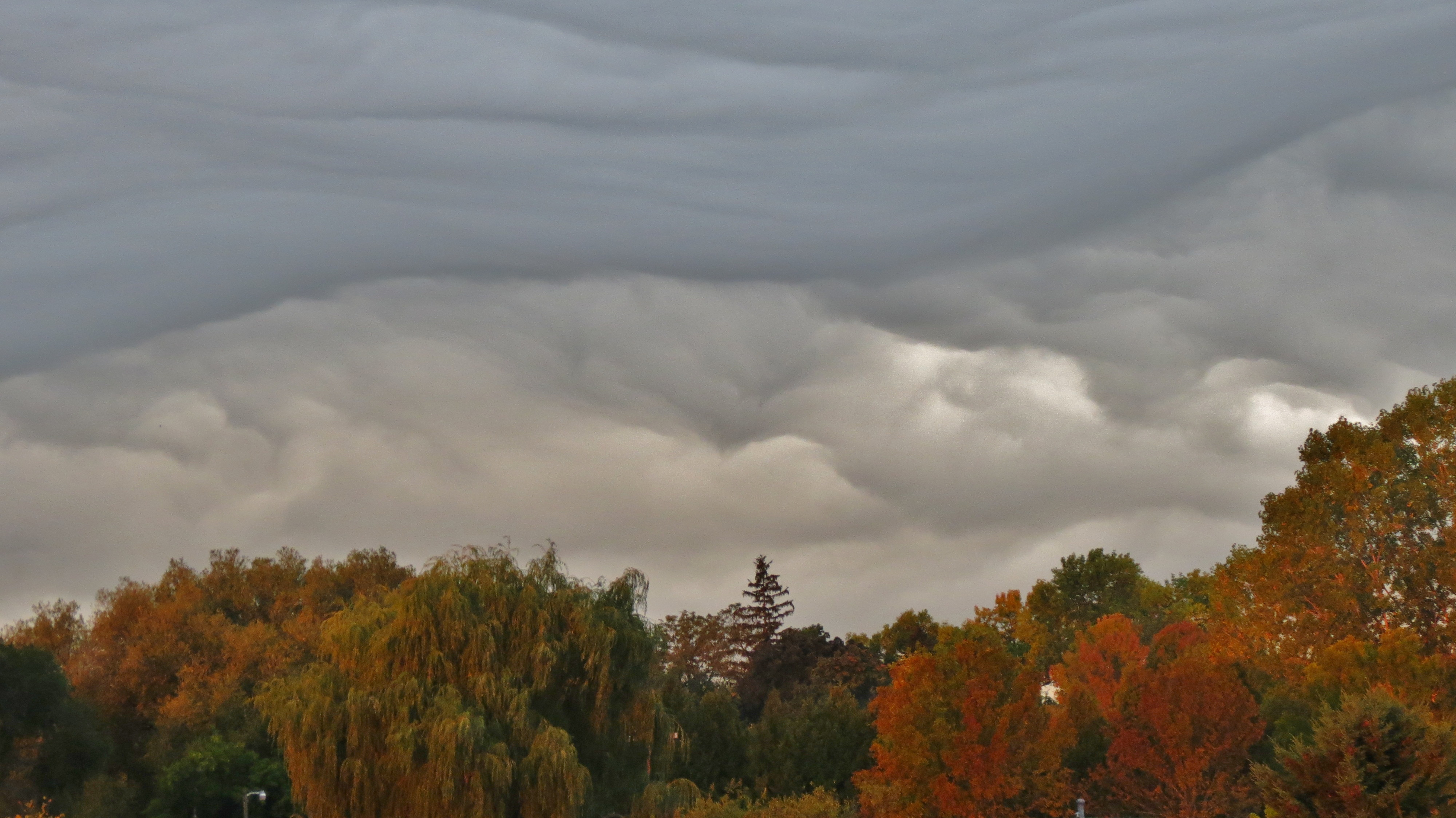
A Front is Coming
DSC_9535-20111009
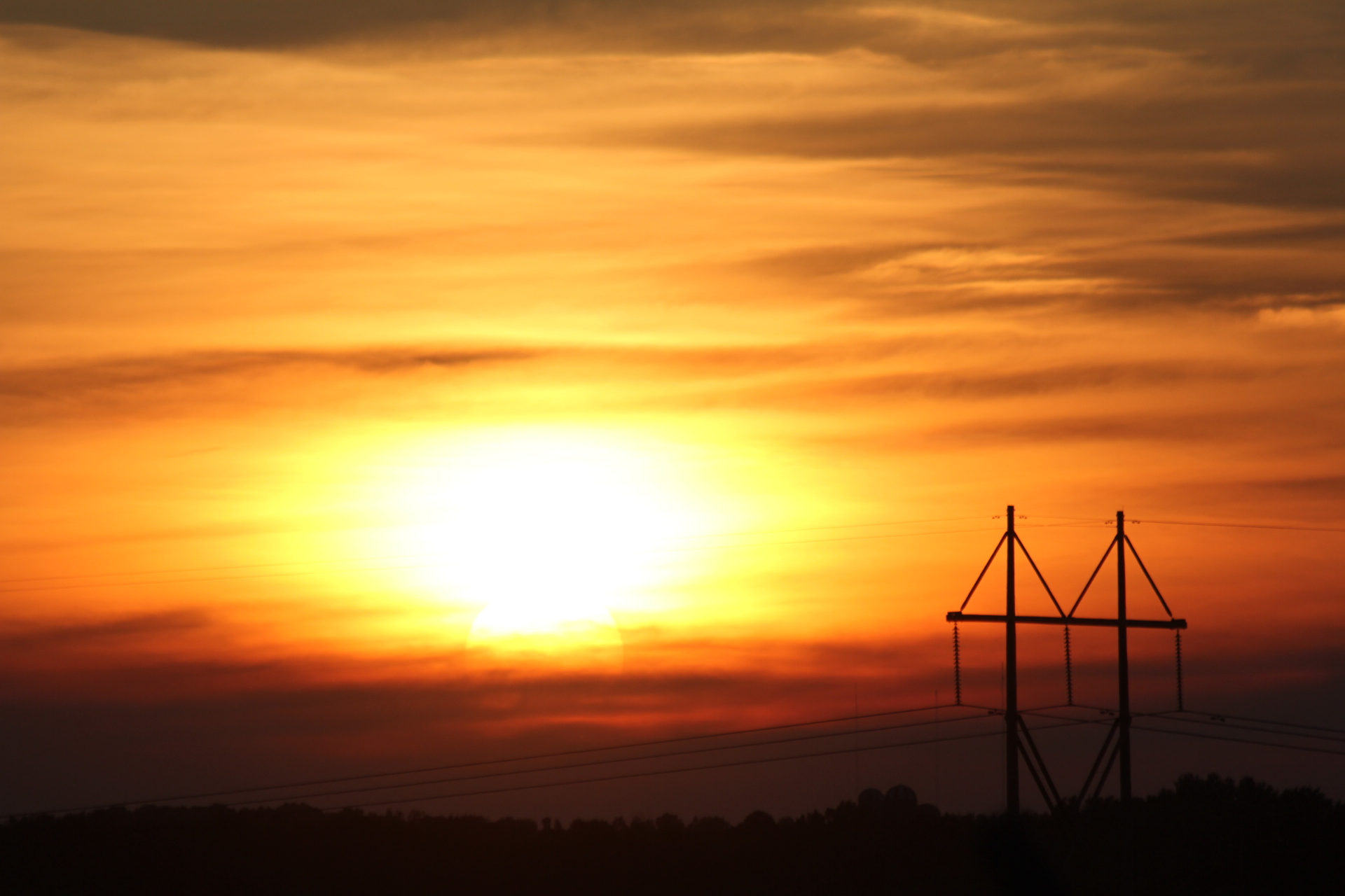
Power Pole in sunset
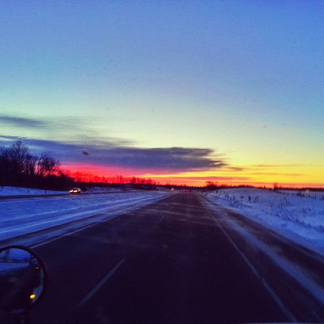
Love mornings like this! #trucking
#wisconsin #winter
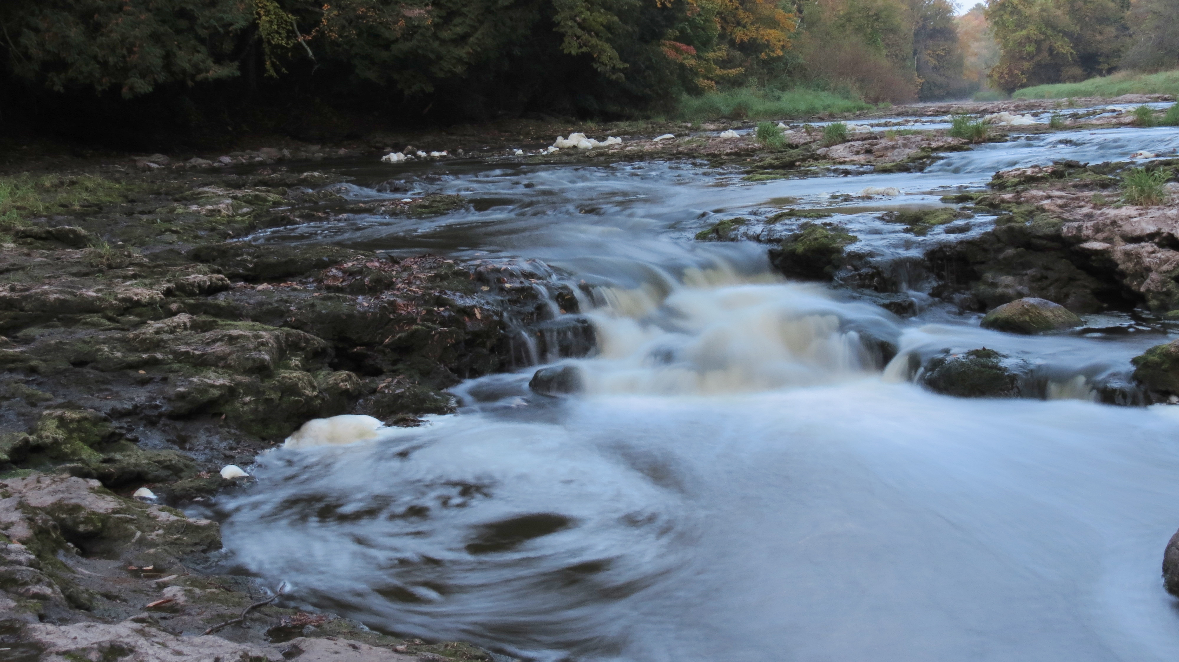
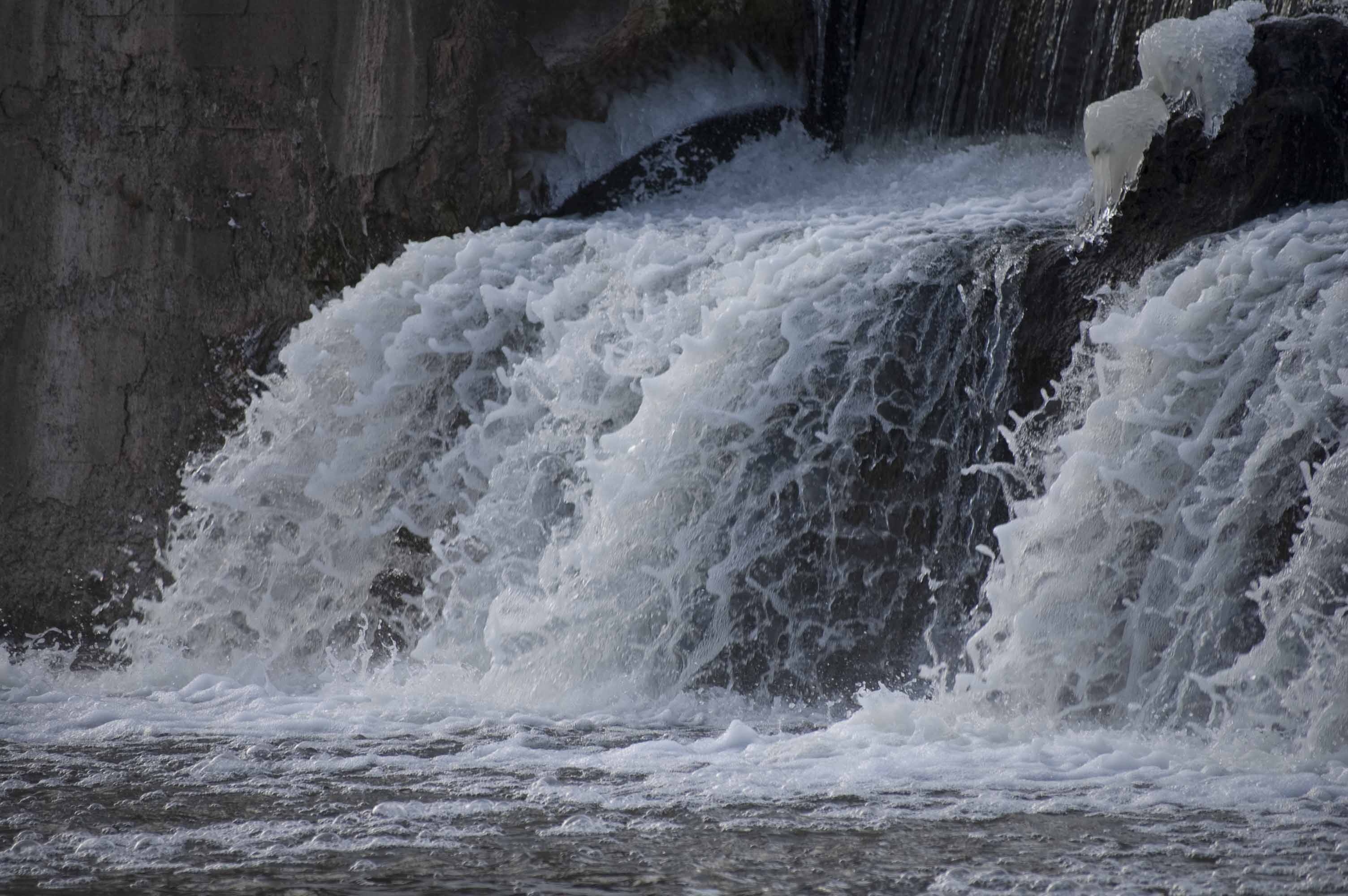
12. Lower Cato Falls
West Twin River (near Shoto)
two rivers004
#November #Landscape
two rivers006
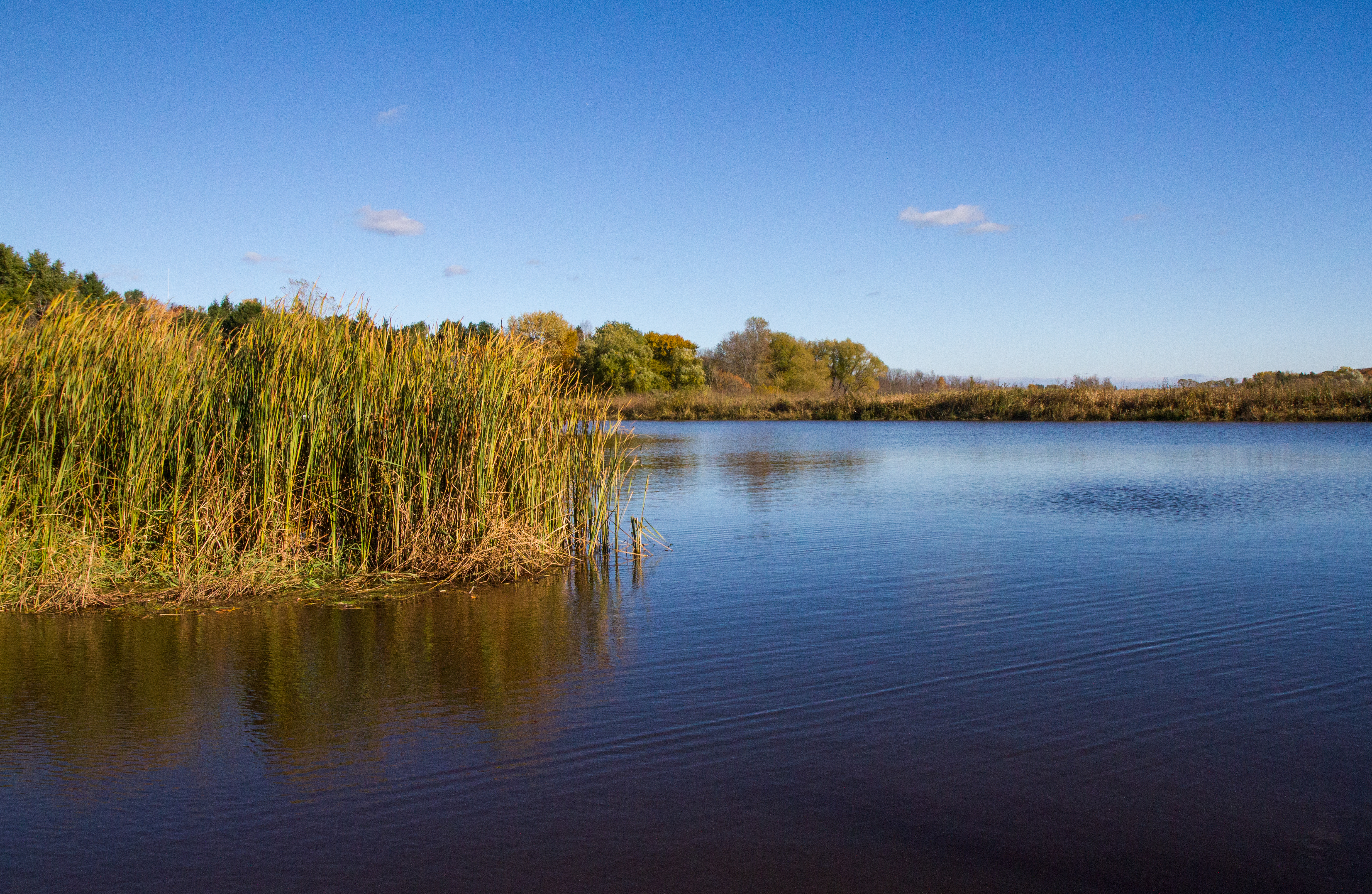
West Twin River (near Shoto)

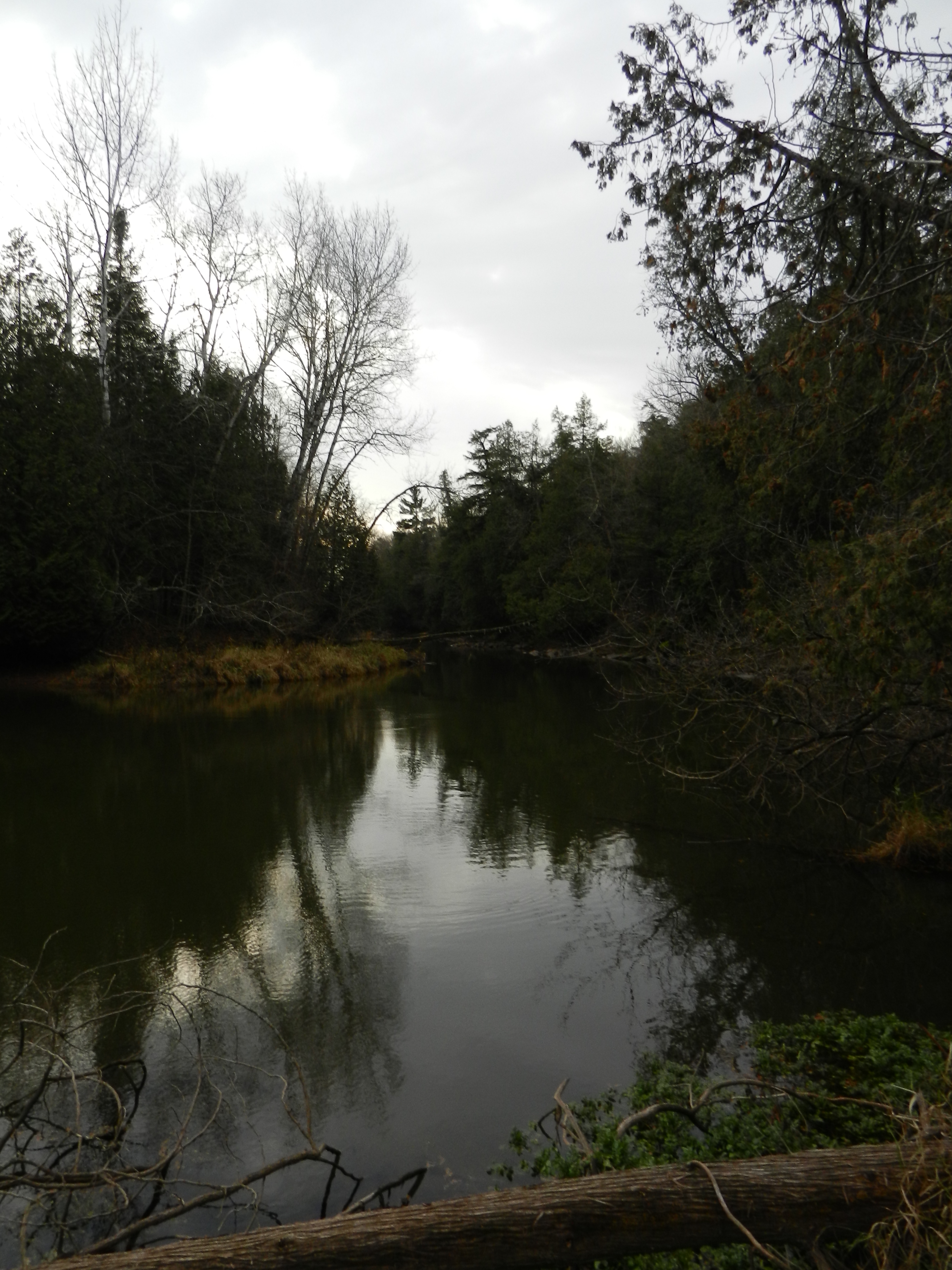
branch river

The ex-Shoreline sub in its natural state
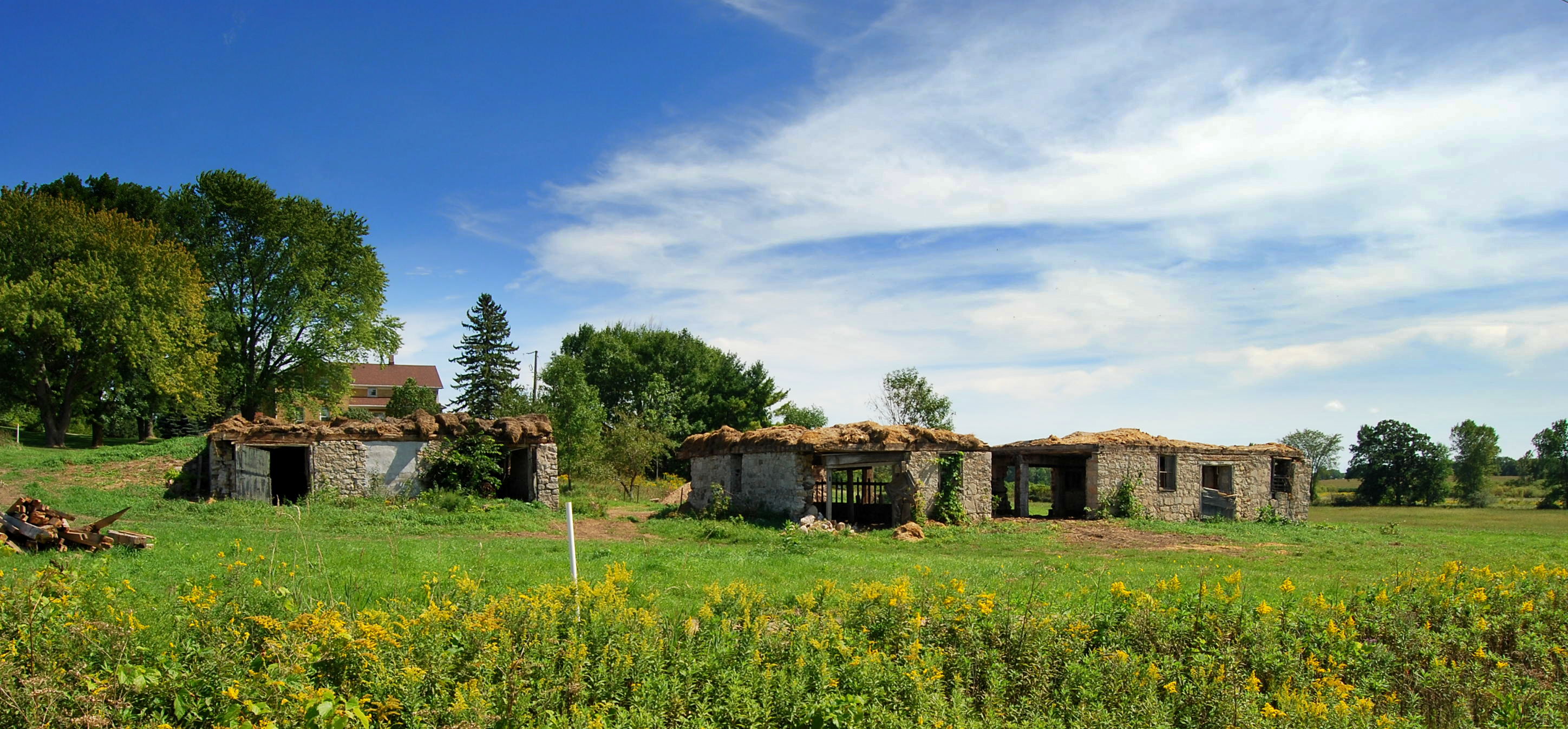
Cherney Maribel Caves County Park | Maribel, WI

abandoned drive in pavillion
Topographic Map of Main St, Cato, WI, USA
Find elevation by address:

Places near Main St, Cato, WI, USA:
Kellnersville
Kellnersville
North Madson Road
Kossuth
Co Rd Z, Maribel, WI, USA
Melnik Rd, Whitelaw, WI, USA
6909 W Hillcrest Rd
6909 W Hillcrest Rd
County Rd J, Reedsville, WI, USA
US-10, Whitelaw, WI, USA
7500 Village Dr
Village Dr, Whitelaw, WI, USA
Gibson
Avery Road
Cato
Cato
Cato
Kingsbridge
County Rd Q, Two Rivers, WI, USA
4433 County Rd B
Recent Searches:
- Elevation of Corso Fratelli Cairoli, 35, Macerata MC, Italy
- Elevation of Tallevast Rd, Sarasota, FL, USA
- Elevation of 4th St E, Sonoma, CA, USA
- Elevation of Black Hollow Rd, Pennsdale, PA, USA
- Elevation of Oakland Ave, Williamsport, PA, USA
- Elevation of Pedrógão Grande, Portugal
- Elevation of Klee Dr, Martinsburg, WV, USA
- Elevation of Via Roma, Pieranica CR, Italy
- Elevation of Tavkvetili Mountain, Georgia
- Elevation of Hartfords Bluff Cir, Mt Pleasant, SC, USA