Elevation of Kellnersville, WI, USA
Location: United States > Wisconsin > Manitowoc County >
Longitude: -87.802312
Latitude: 44.2258273
Elevation: 253m / 830feet
Barometric Pressure: 98KPa
Elevation Map:
Satellite Map:
Related Photos:
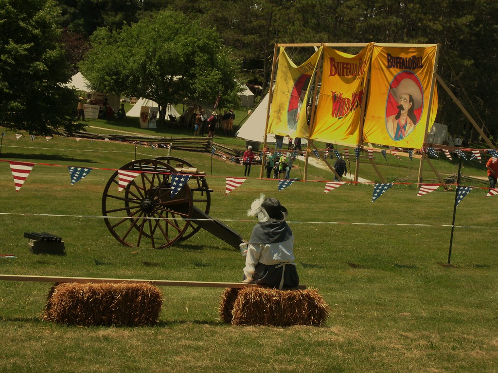
Gatling Gun..
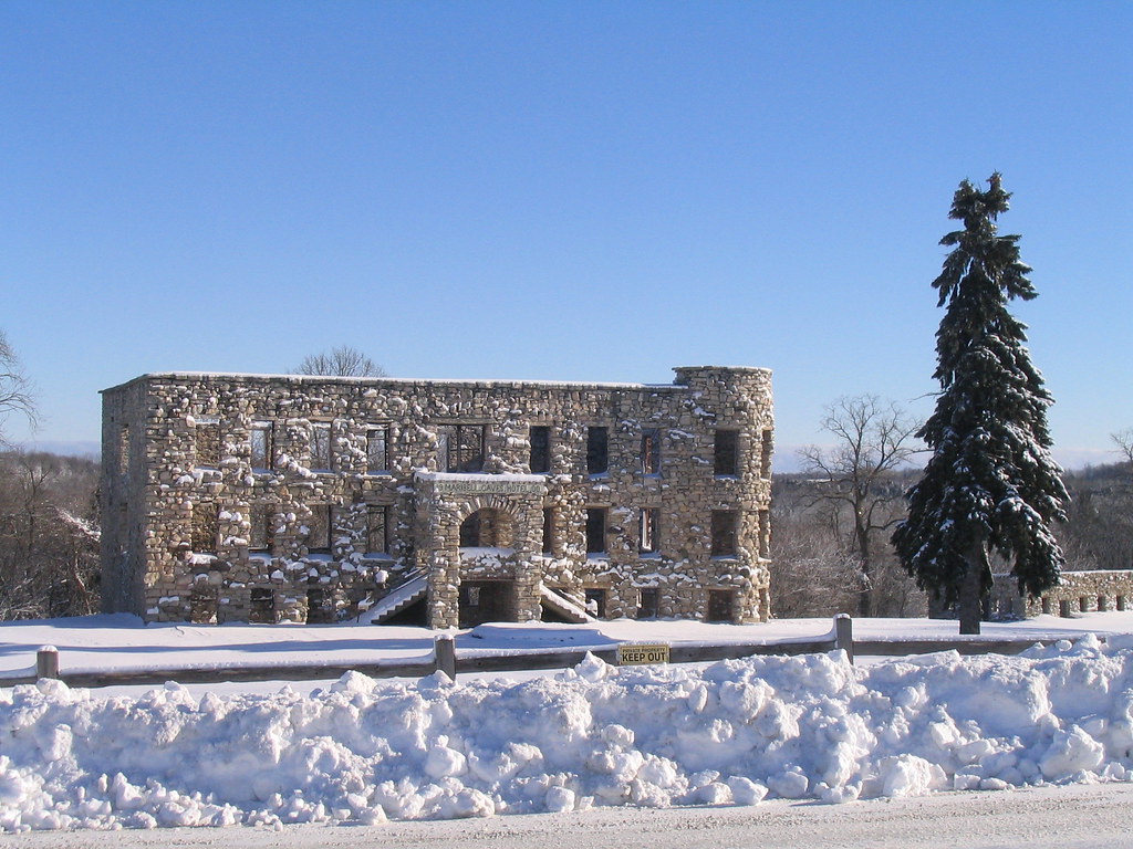
Maribel Caves Hotel

C&NW Kaukauna-Manitowoc RR branch

C&NW Kaukauna-Manitowoc RR sixth

Town of Manitowoc Rapids "municipal" building

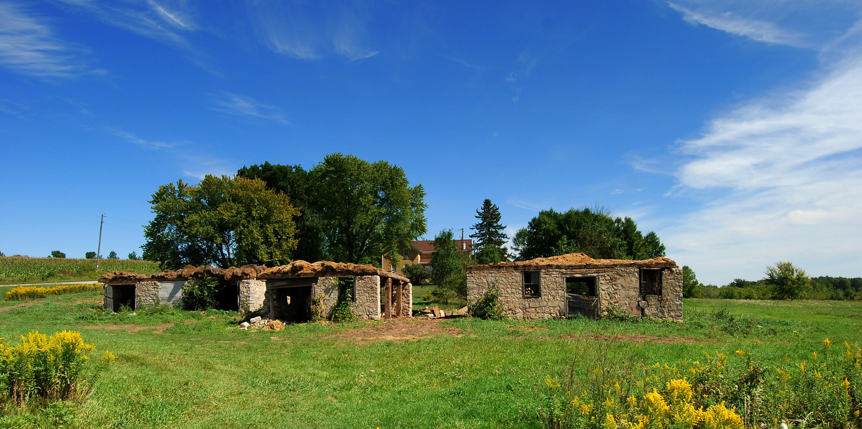
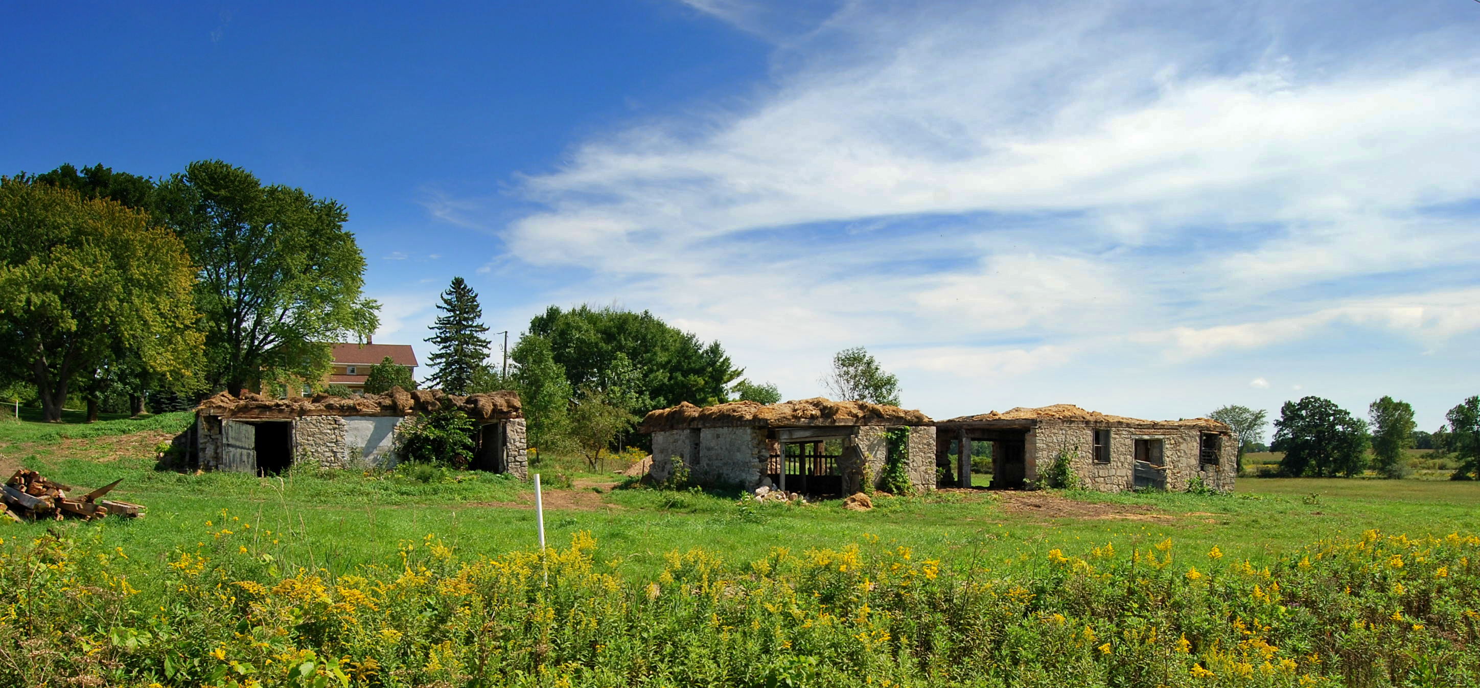
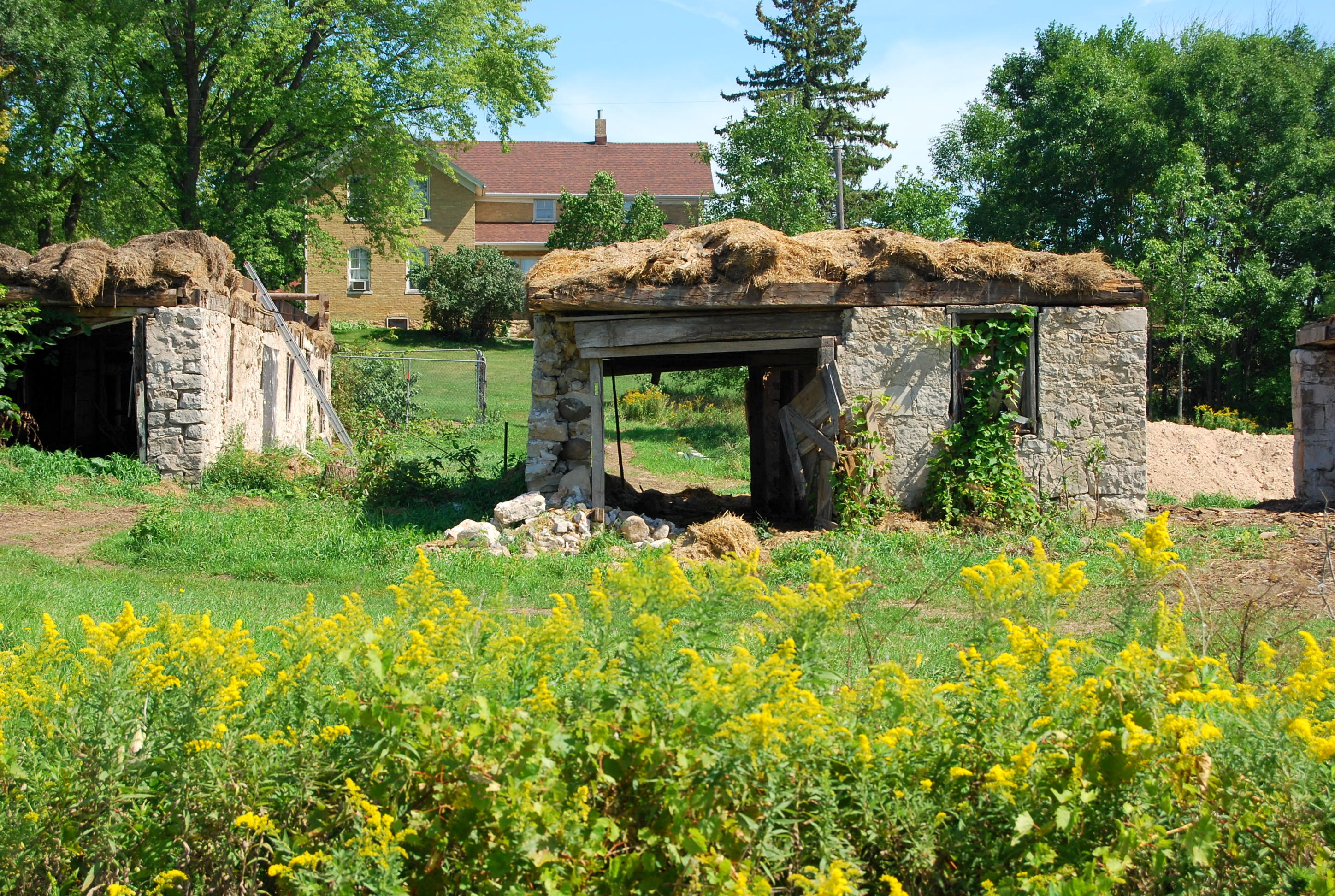
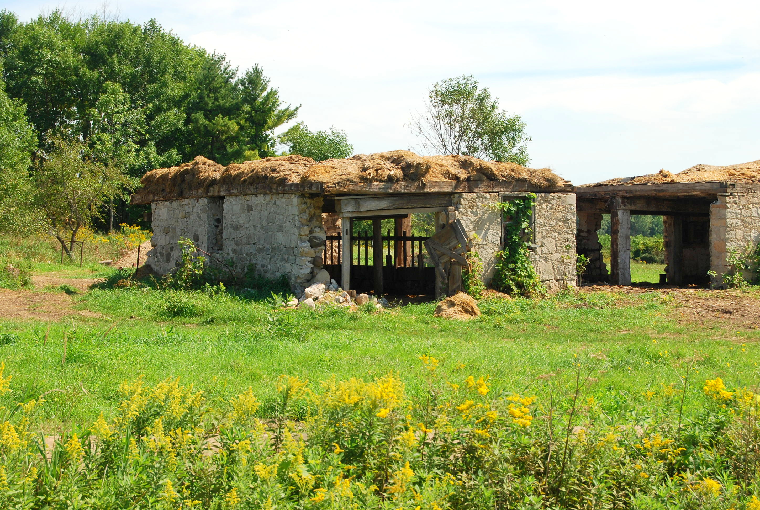
Remains of the Maribel Caves Hotel revisited

1966-67 Chevrolet Series 80 dump truck

Parker's Plane View drive-in

C&NW Kaukauna-Manitowoc RR hickory

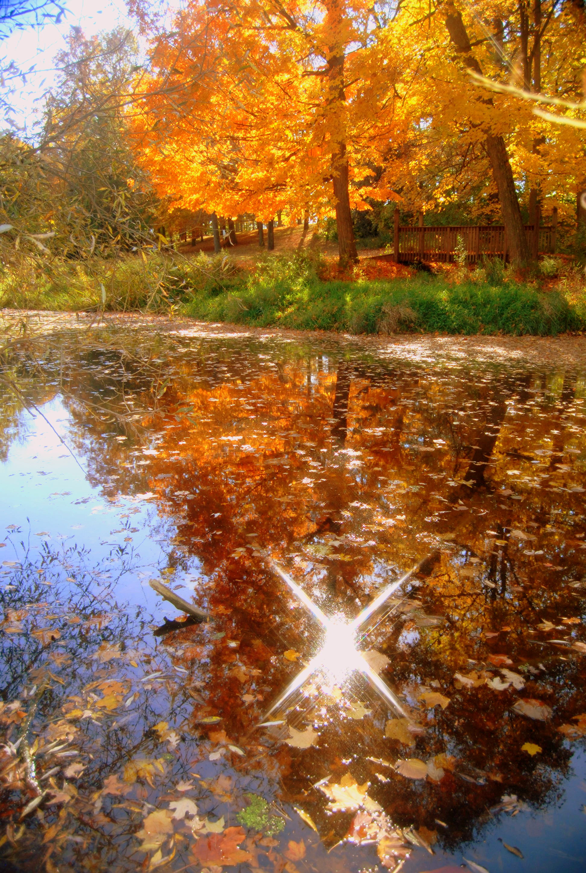
vibrant colors

C&NW Kaukauna-Manitowoc RR third
Cooperstown Rd and Park View Pd

Tower house (Mishicot, WI)

Maribel Grain Company
Cooperstown Rd and Park View Pd
Cooperstown Rd and Park View Pd

inside the triangle

Denmark Cooperative Services

Denmark Cooperative Services
Cooperstown Rd and Park View Pd
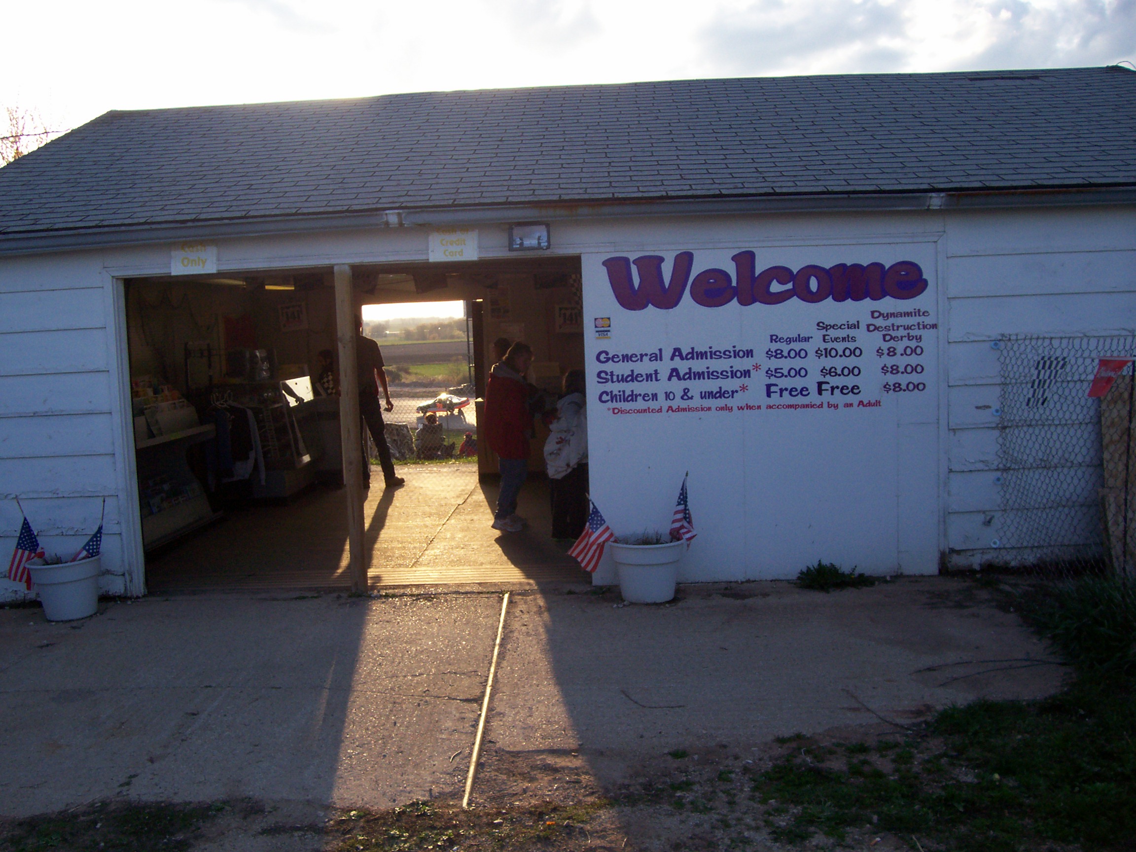
04.28.07 - 141 Speedway - Welcome to my 2007 tour

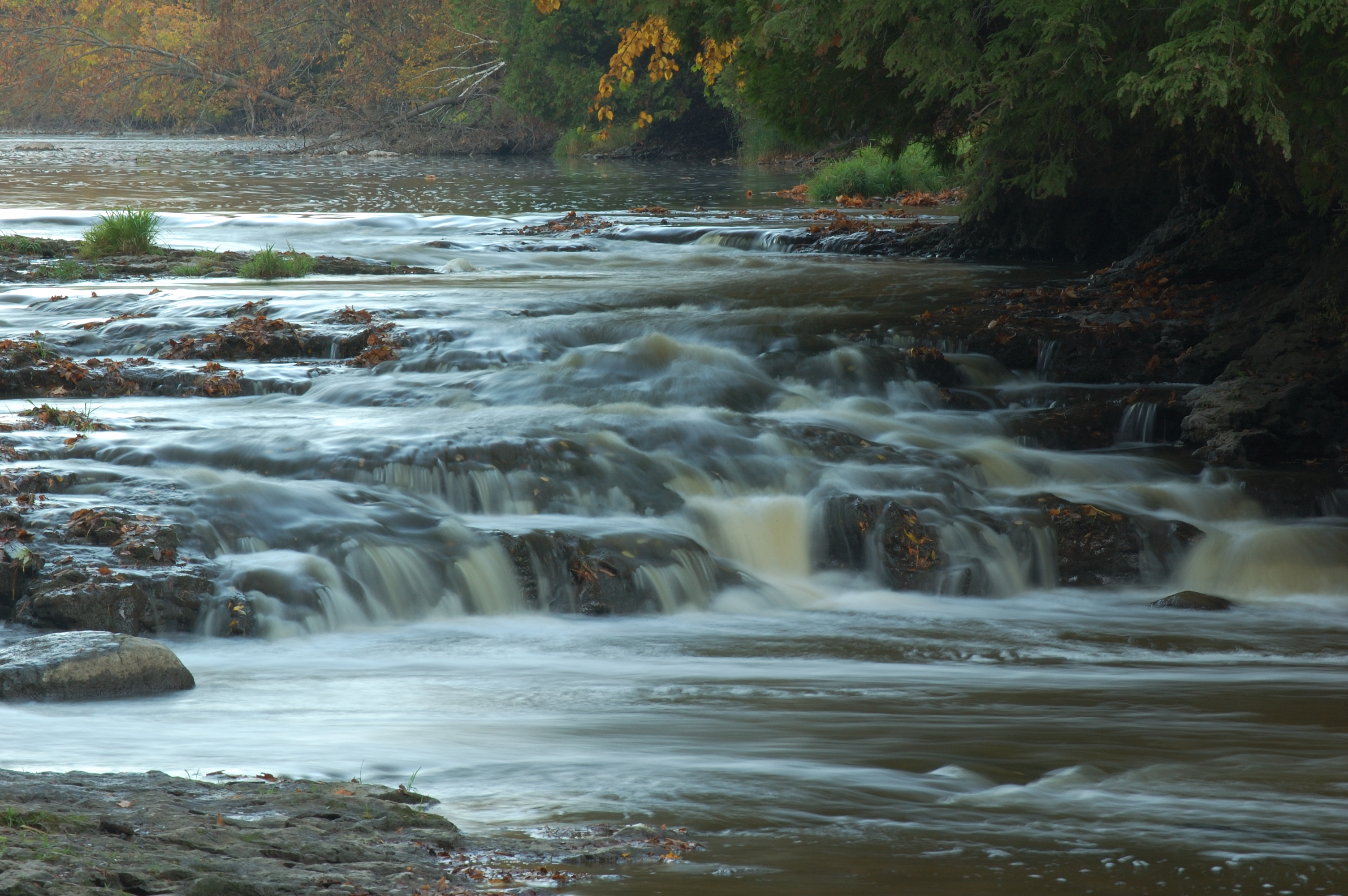
Falls and light
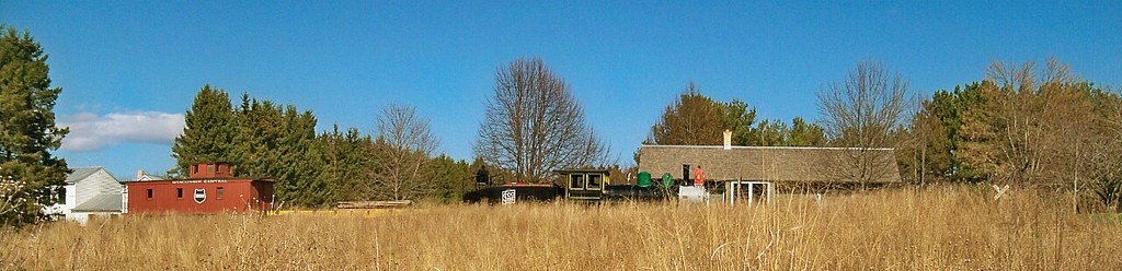
Pinecrest Historical Village
Face it Cato Falls
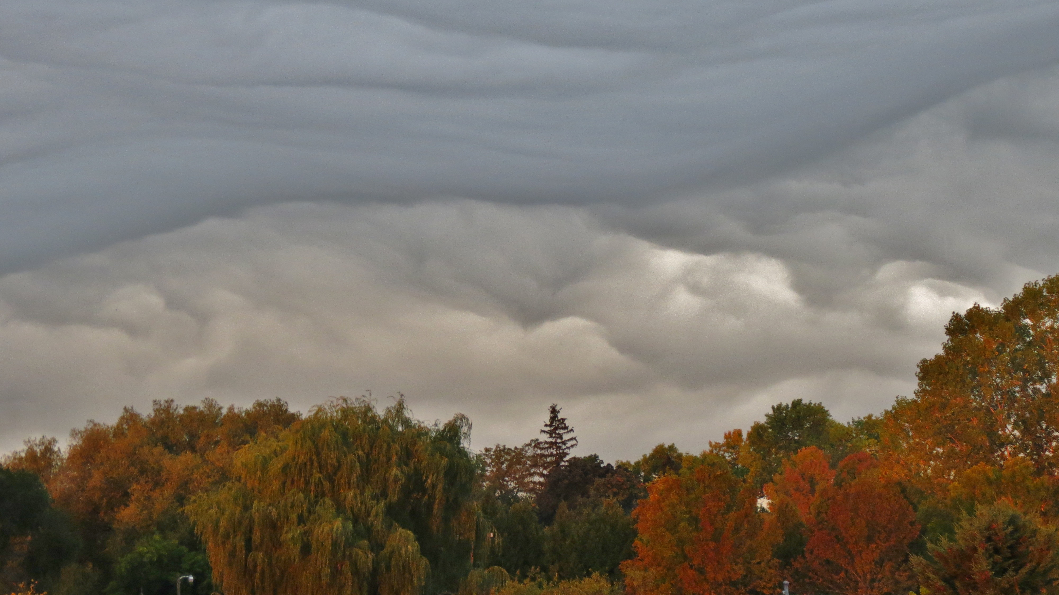
A Front is Coming
DSC_9535-20111009
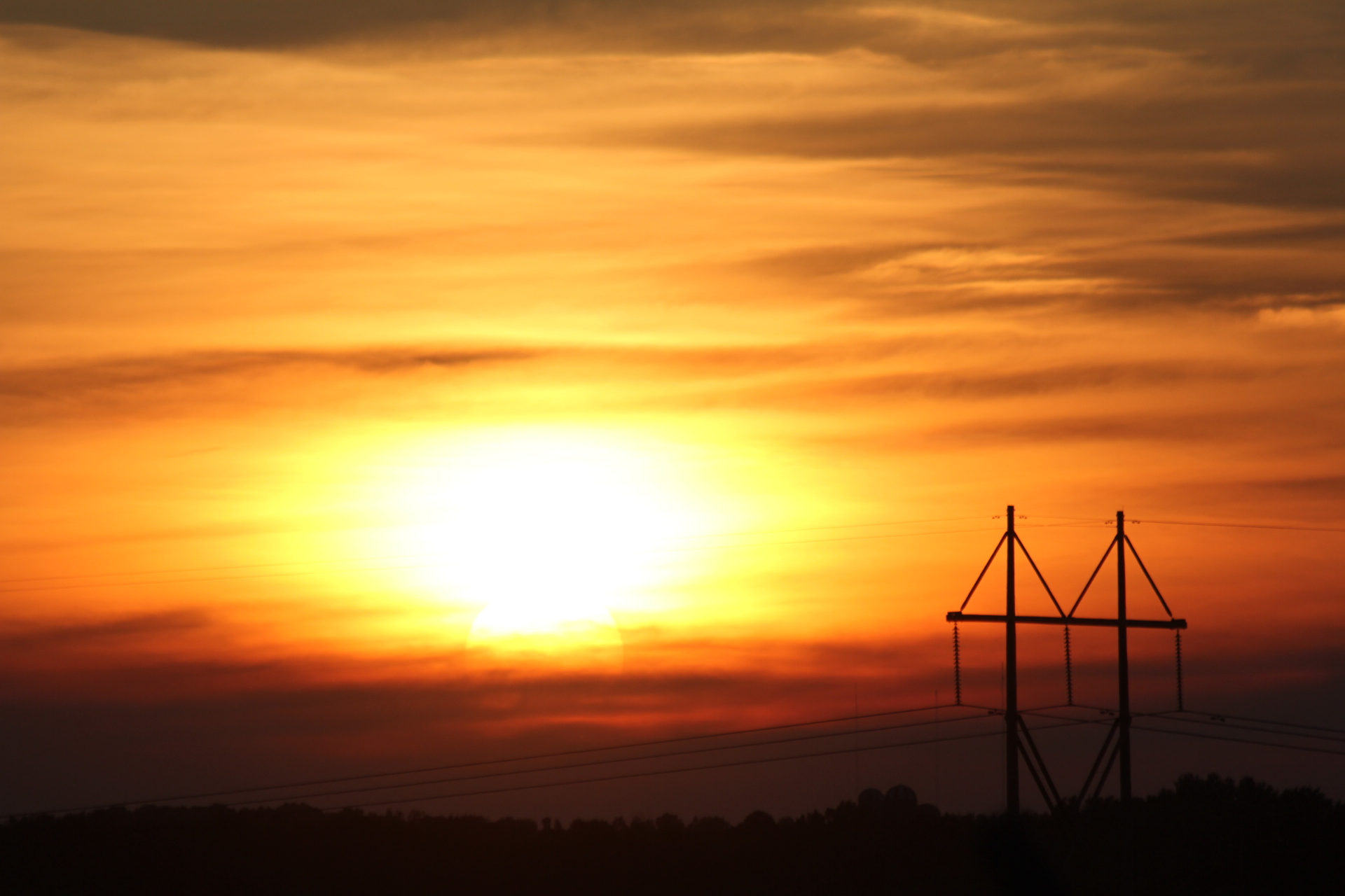
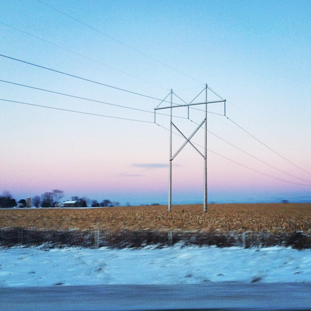
Power Pole in sunset
Love mornings like this! #trucking
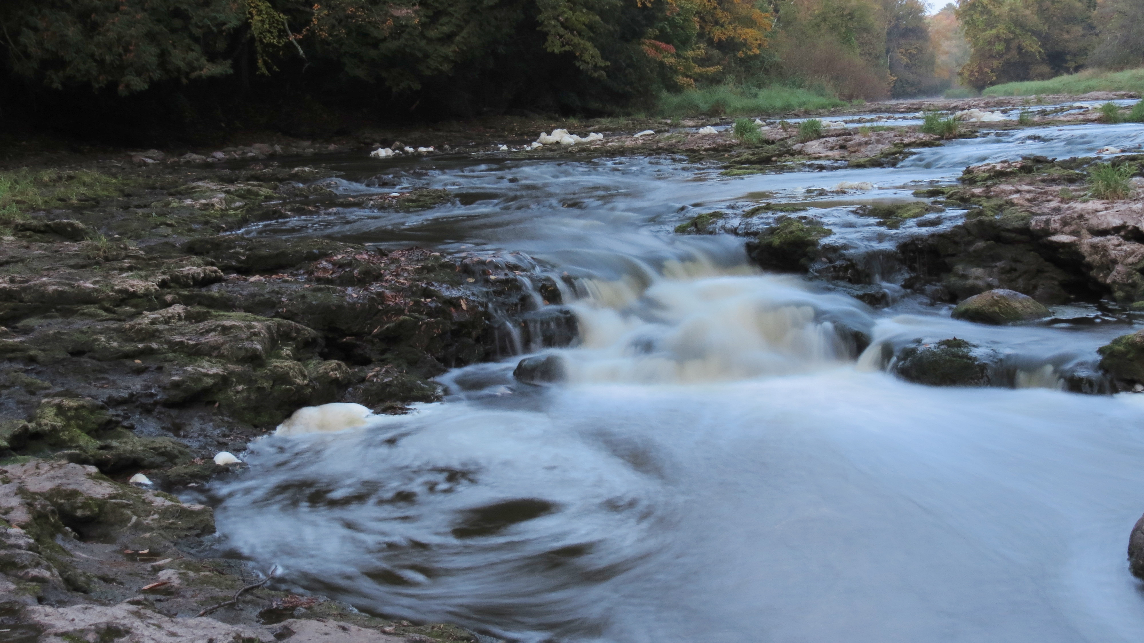
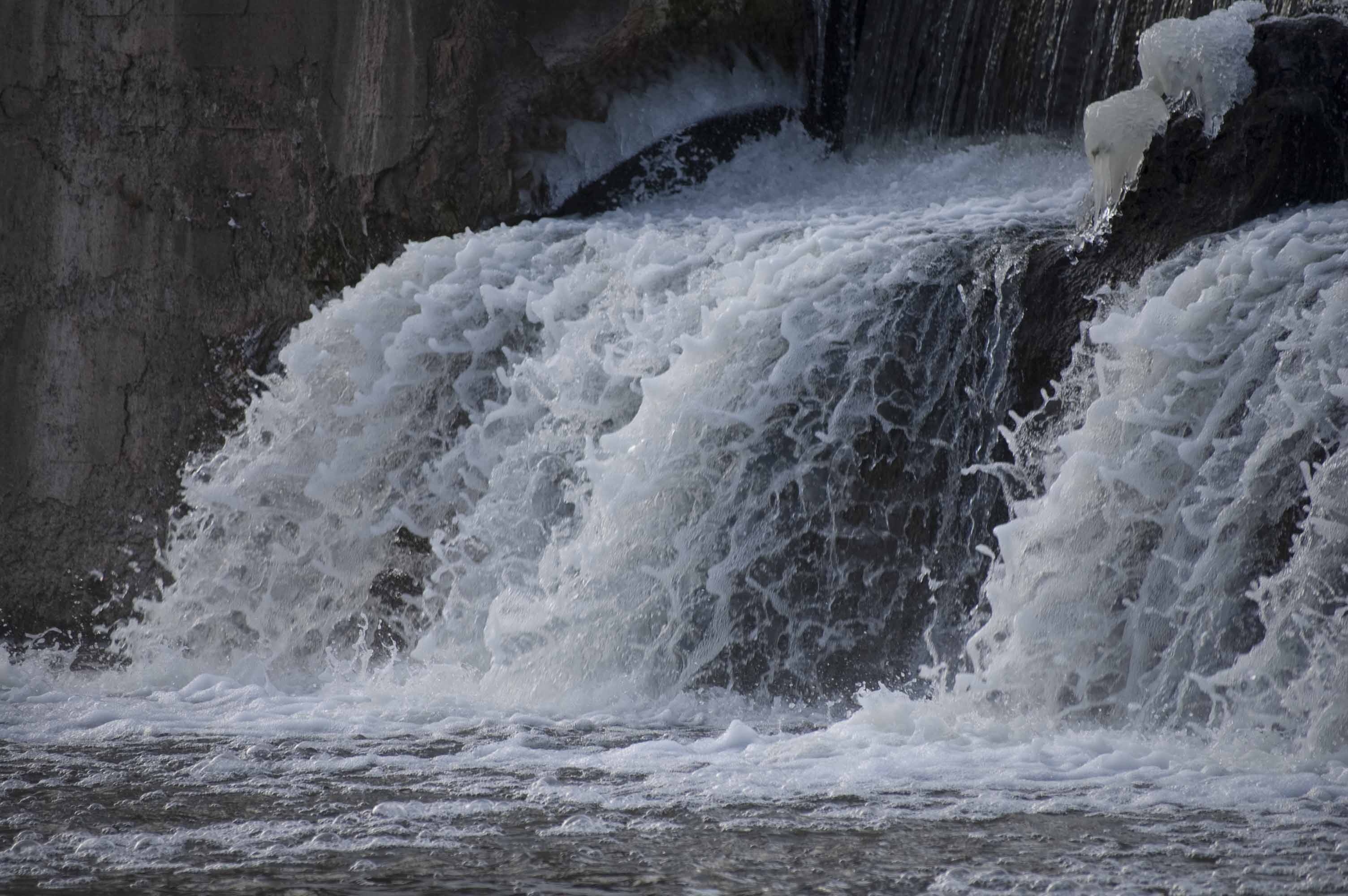
12. Lower Cato Falls
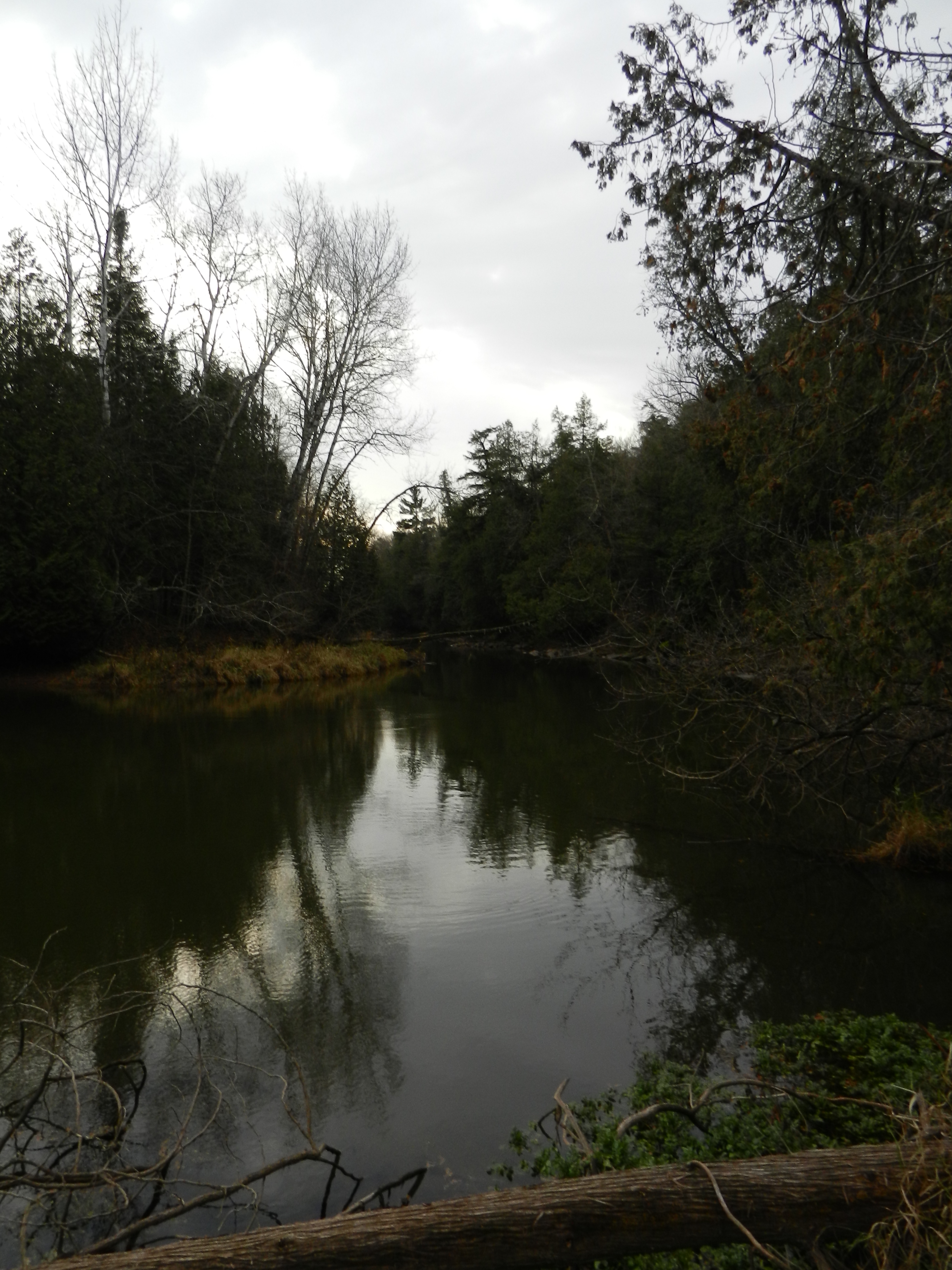
West Twin River (near Shoto)
two rivers004
two rivers006
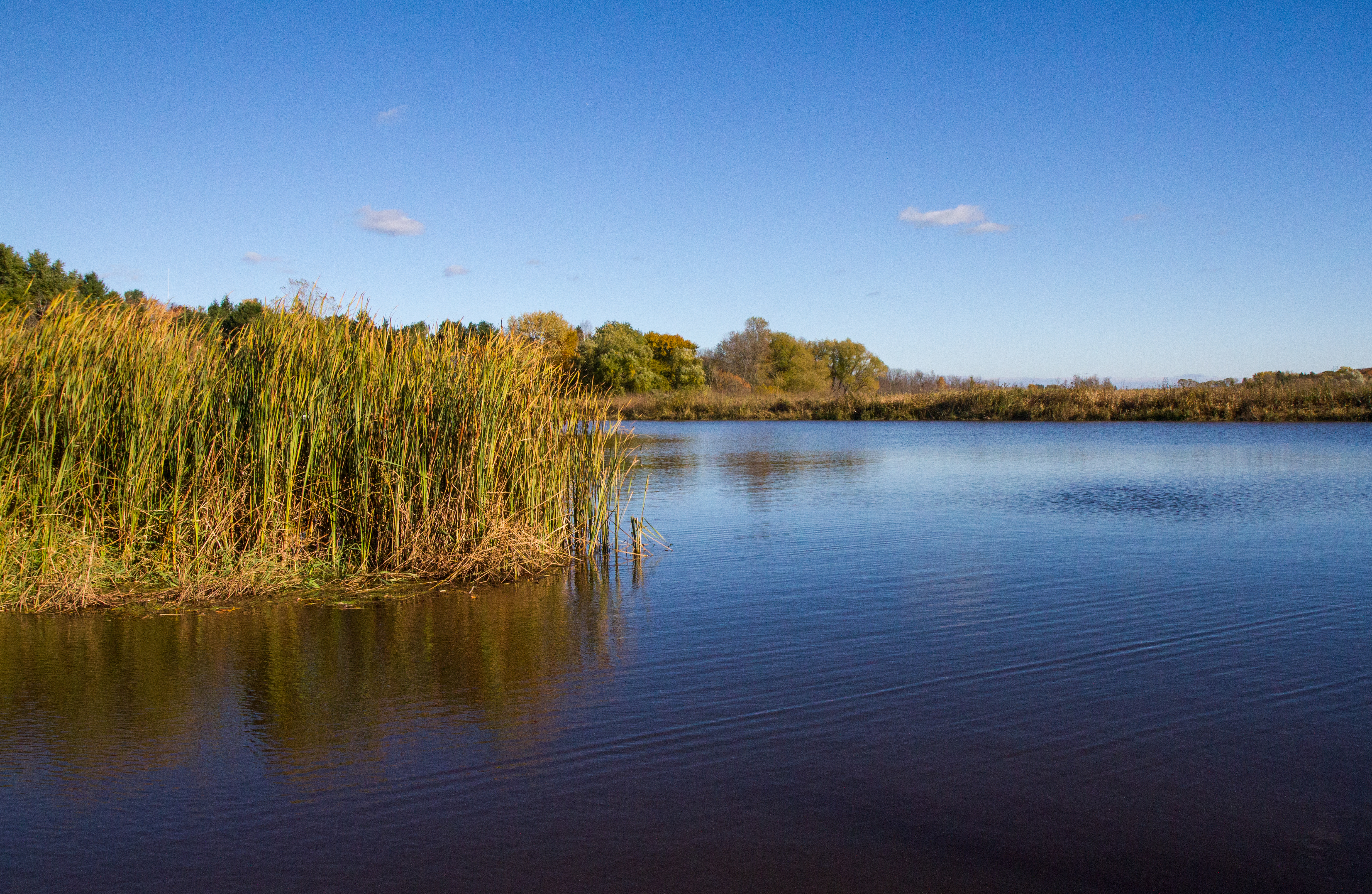
West Twin River (near Shoto)

Dam across the West Twin River, Shoto, WI
Fall 2011
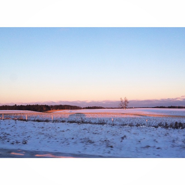
#wisconsin #winter
#November #Landscape

branch river

The ex-Shoreline sub in its natural state
Cherney Maribel Caves County Park | Maribel, WI
Topographic Map of Kellnersville, WI, USA
Find elevation by address:

Places in Kellnersville, WI, USA:
Places near Kellnersville, WI, USA:
Kellnersville
Main St, Cato, WI, USA
North Madson Road
Kossuth
Co Rd Z, Maribel, WI, USA
Melnik Rd, Whitelaw, WI, USA
6909 W Hillcrest Rd
6909 W Hillcrest Rd
County Rd J, Reedsville, WI, USA
US-10, Whitelaw, WI, USA
7500 Village Dr
Village Dr, Whitelaw, WI, USA
Gibson
Avery Road
Cato
Cato
Cato
Kingsbridge
County Rd Q, Two Rivers, WI, USA
4433 County Rd B
Recent Searches:
- Elevation of Corso Fratelli Cairoli, 35, Macerata MC, Italy
- Elevation of Tallevast Rd, Sarasota, FL, USA
- Elevation of 4th St E, Sonoma, CA, USA
- Elevation of Black Hollow Rd, Pennsdale, PA, USA
- Elevation of Oakland Ave, Williamsport, PA, USA
- Elevation of Pedrógão Grande, Portugal
- Elevation of Klee Dr, Martinsburg, WV, USA
- Elevation of Via Roma, Pieranica CR, Italy
- Elevation of Tavkvetili Mountain, Georgia
- Elevation of Hartfords Bluff Cir, Mt Pleasant, SC, USA