Elevation of Main Rd, Musgrave Harbour, NL A0G 3J0, Canada
Location: Canada > Newfoundland And Labrador > Division No. 8 > Musgrave Harbour >
Longitude: -53.949939
Latitude: 49.4503751
Elevation: 2m / 7feet
Barometric Pressure: 101KPa
Elevation Map:
Satellite Map:
Related Photos:
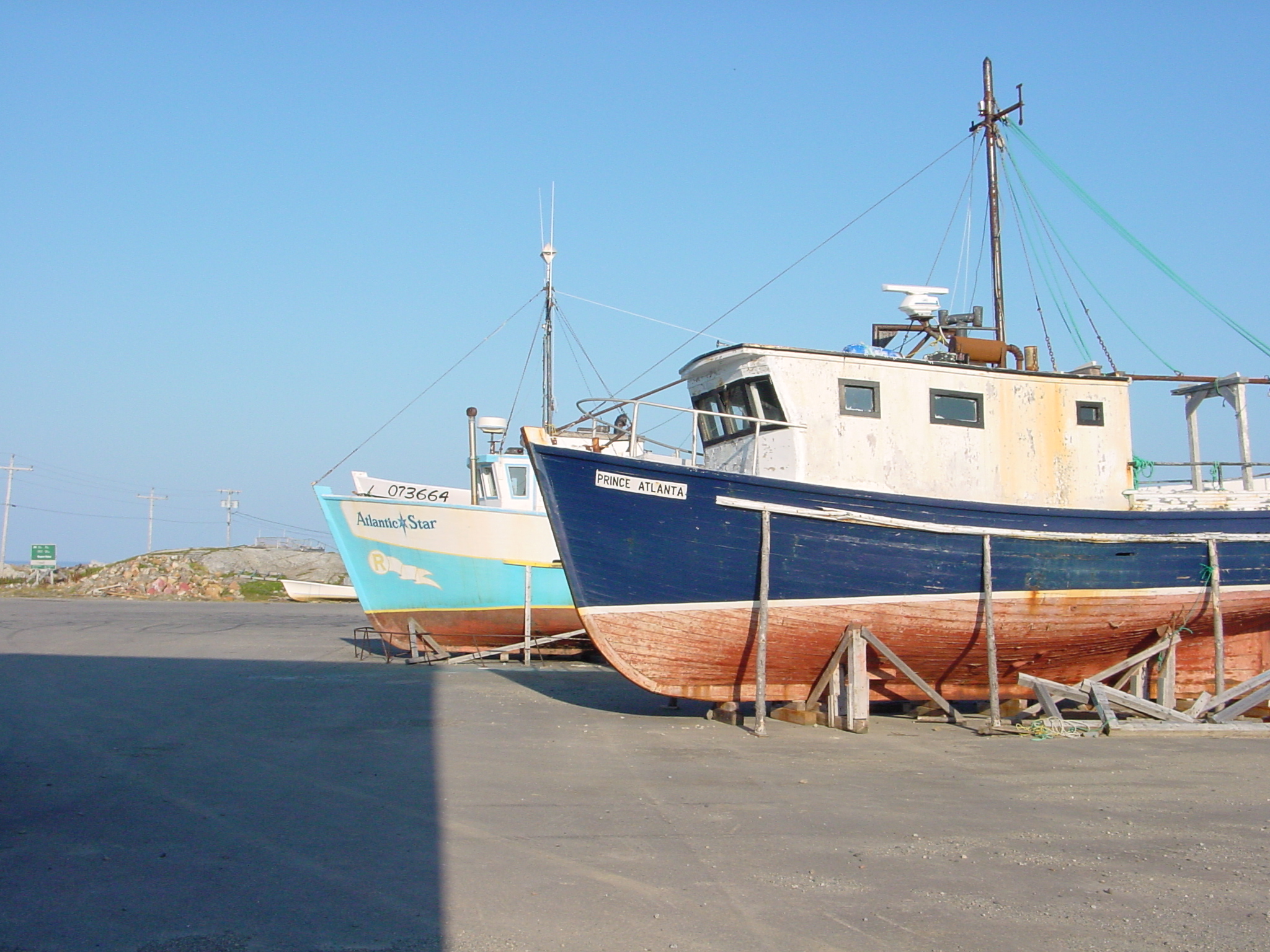
Boats at Musgrave Harbour, Newfoundland
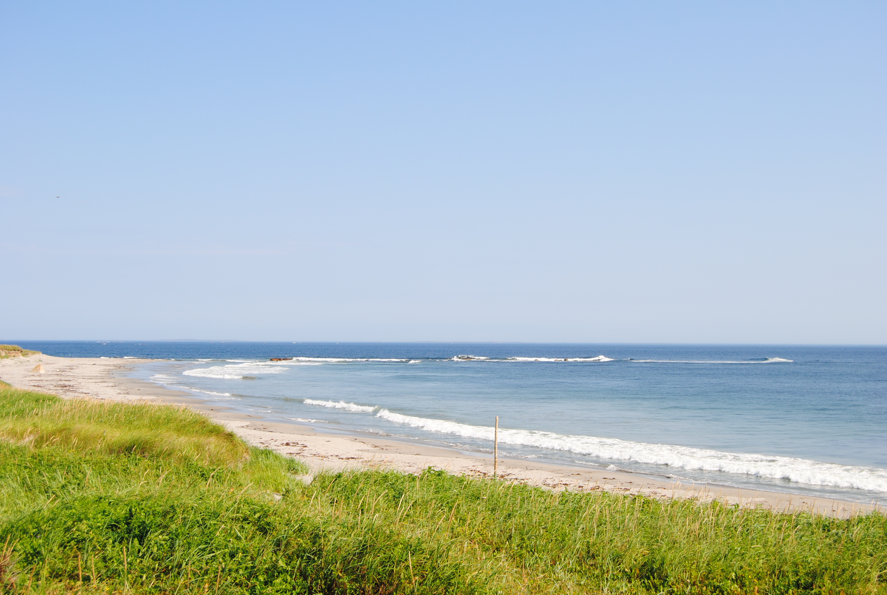
DSC_0122

Lobster Pots
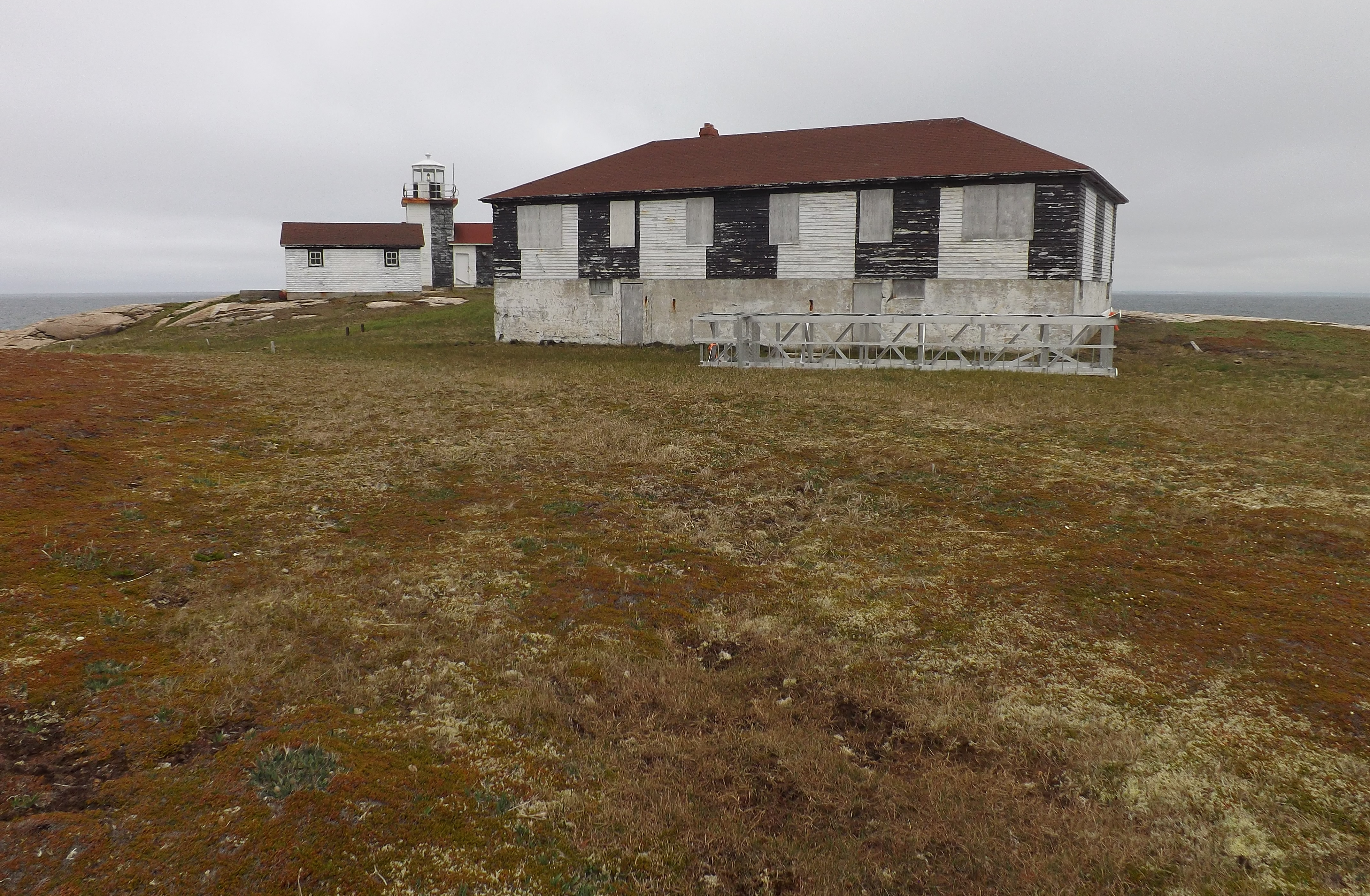
Peckford Island Lighthouse (New and Old)
Topographic Map of Main Rd, Musgrave Harbour, NL A0G 3J0, Canada
Find elevation by address:

Places near Main Rd, Musgrave Harbour, NL A0G 3J0, Canada:
Musgrave Harbour
Seldom
Tilting
Fogo Island
54 Main St S, Carmanville, NL A0G 1N0, Canada
Island Massage Therapy
Carmanville
Joe Batt's Arm
78 Memorial Dr, Lumsden, NL A0G 3E0, Canada
Lumsden
79 Main St
79 Main St
Main St, Lumsden, NL A0G, Canada
Fogo
Baker's Road
36 Sargents Rd, Fogo, NL A0G 2B0, Canada
31 Sargents Rd, Fogo, NL A0G 2B0, Canada
Division No. 8, Subd. L
19 Tickle Point Rd, Change Islands, NL A0G 1R0, Canada
NL-, Horwood, NL A0G 2T0, Canada
Recent Searches:
- Elevation of Bydgoszcz, Poland
- Elevation of Bydgoszcz, Poland
- Elevation of Calais Dr, Del Mar, CA, USA
- Elevation of Placer Mine Ln, West Jordan, UT, USA
- Elevation of E 63rd St, New York, NY, USA
- Elevation of Elk City, OK, USA
- Elevation of Erika Dr, Windsor, CA, USA
- Elevation of Village Ln, Finleyville, PA, USA
- Elevation of 24 Oakland Rd #, Scotland, ON N0E 1R0, Canada
- Elevation of Deep Gap Farm Rd E, Mill Spring, NC, USA