Elevation of Main Drain Rd, Buttonwillow, CA, USA
Location: United States > California > Kern County > Buttonwillow >
Longitude: -119.60521
Latitude: 35.50145
Elevation: 73m / 240feet
Barometric Pressure: 100KPa
Elevation Map:
Satellite Map:
Related Photos:

Google Earth Street View car at I-5

Carlsbad Caverns 0185

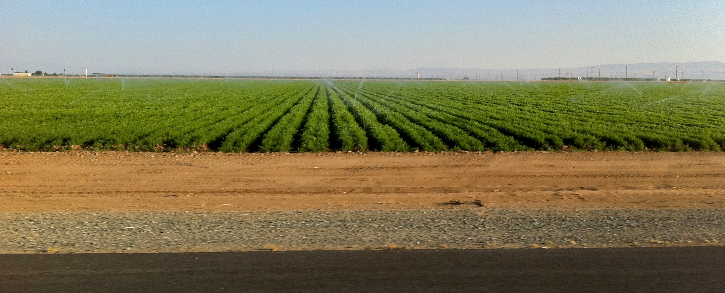
i5 views
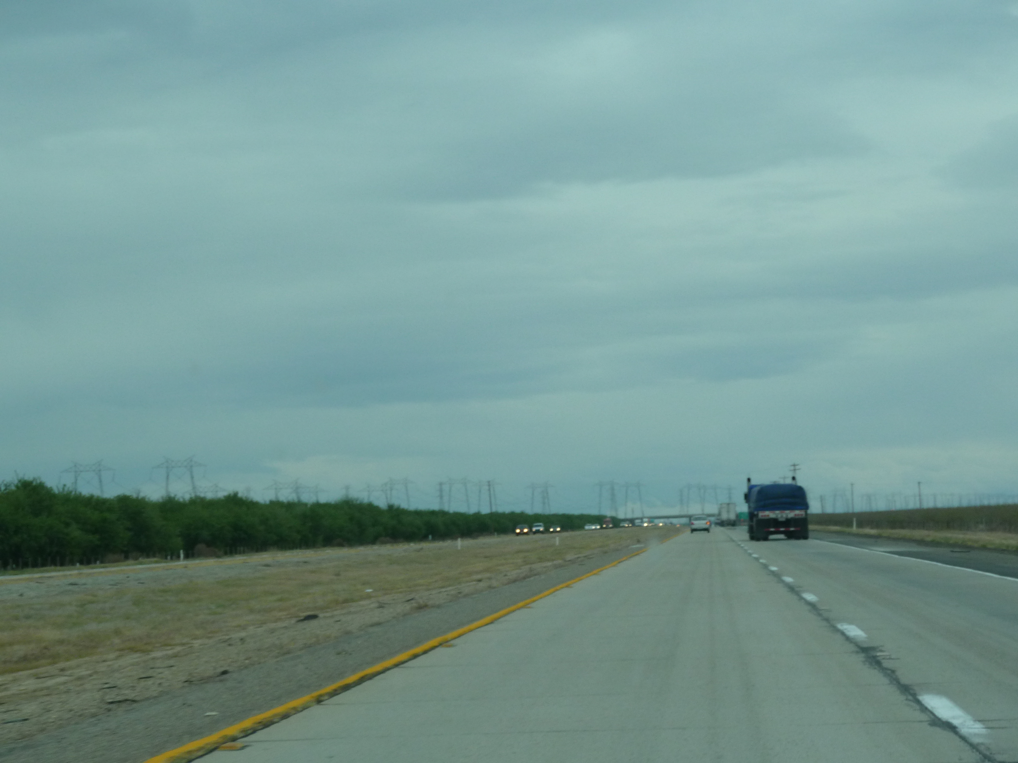
i5 views
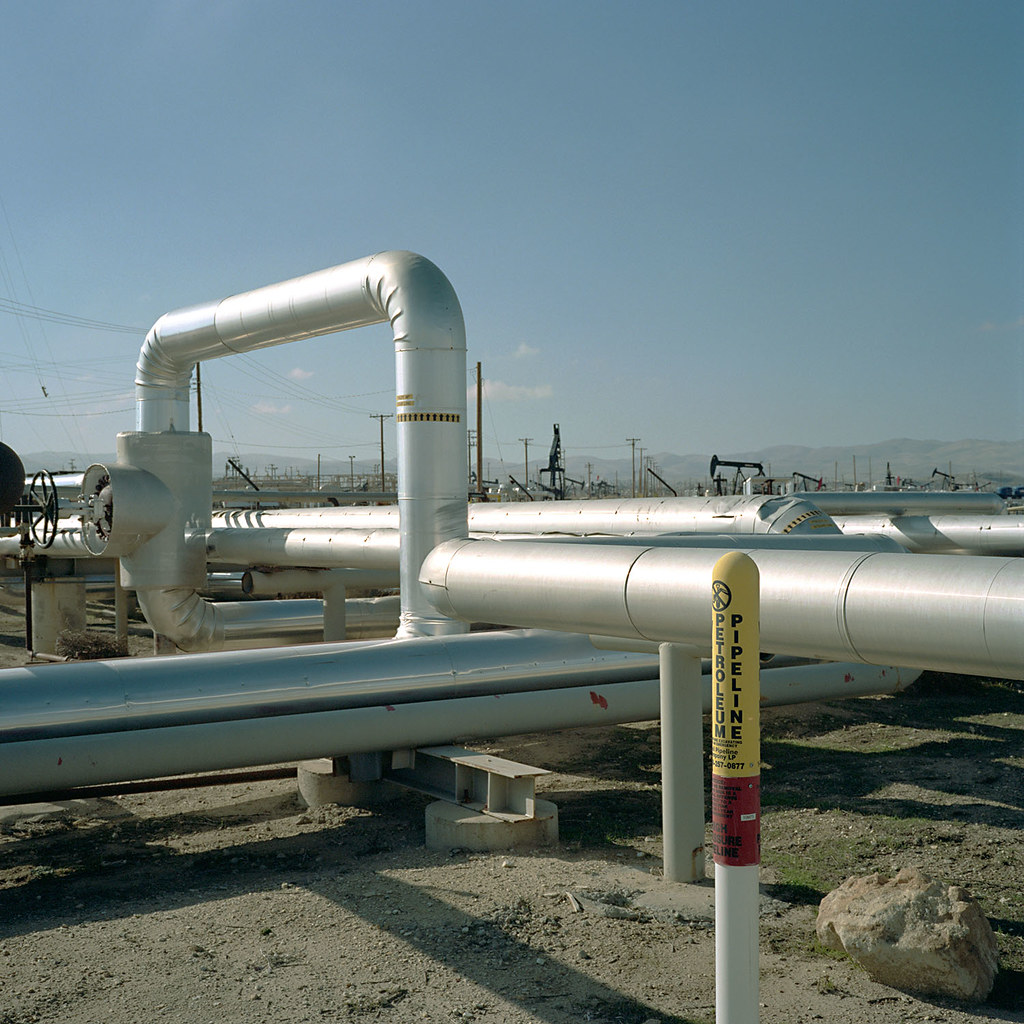
cymric oil field. mckittrick, ca. 2011.
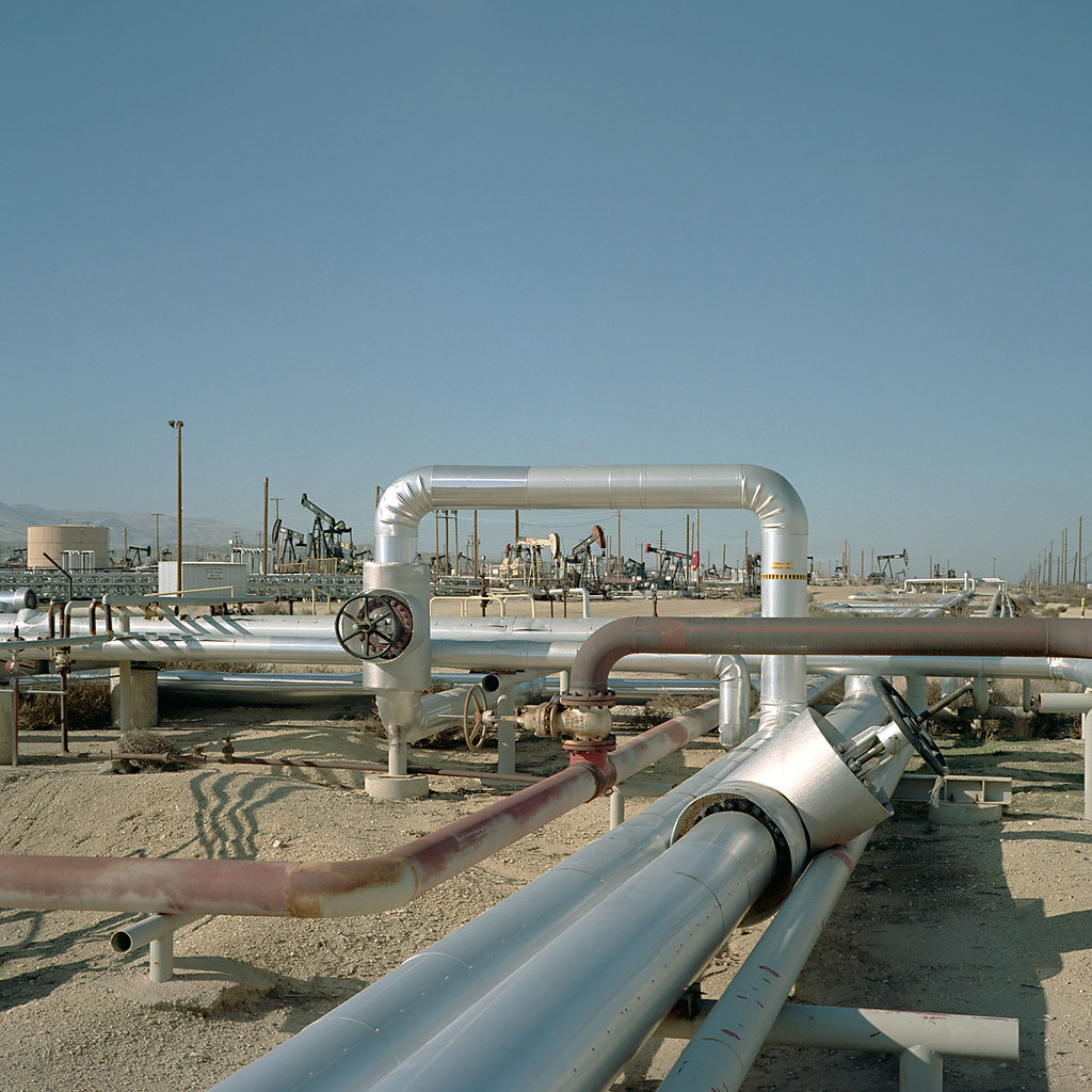
cymric oil field. mckittrick, ca. 2011.

#美國 #美利堅合眾國 #米国 #USA #US ???????????????????????????? #America
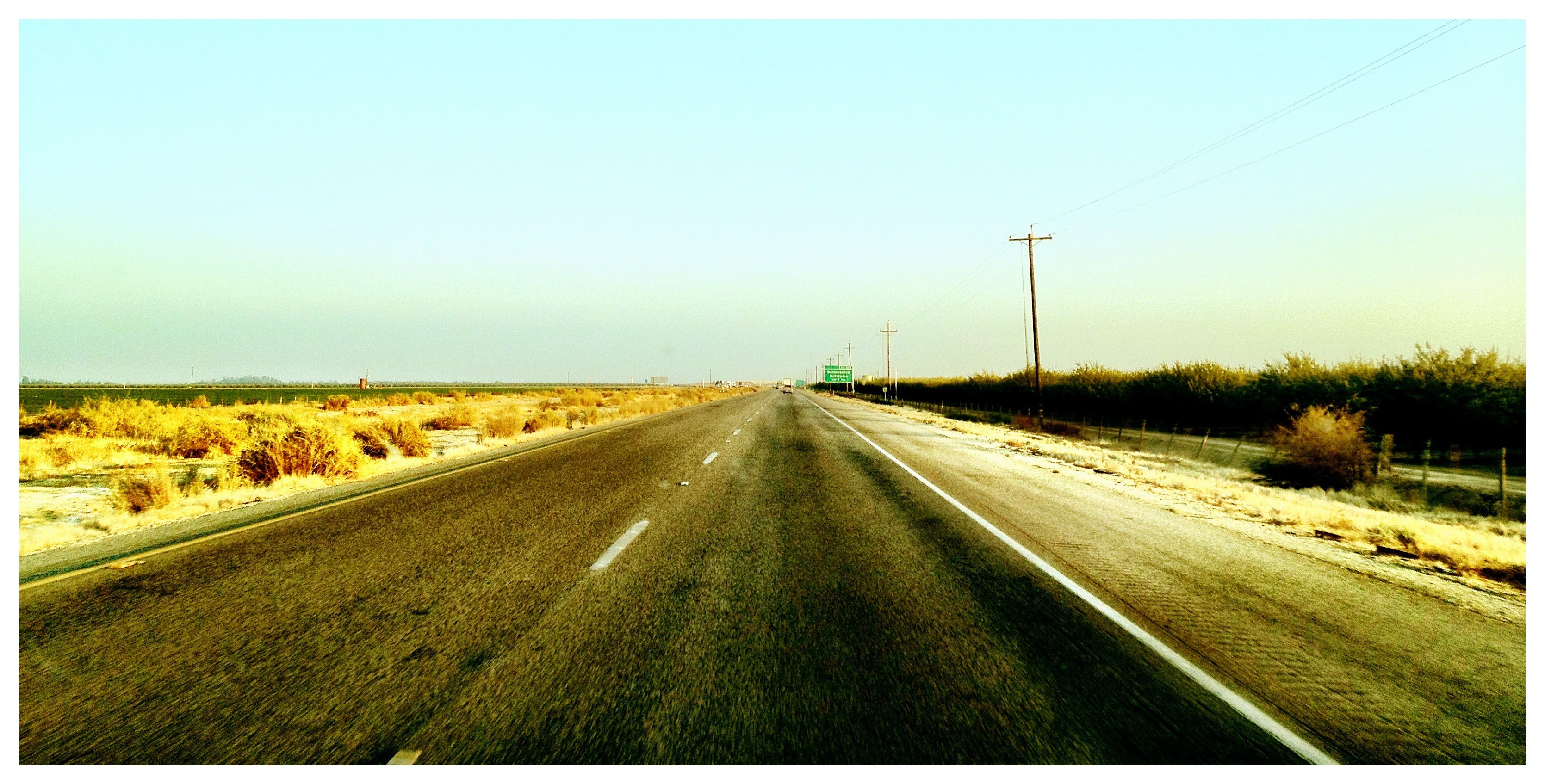
Southbound I-5
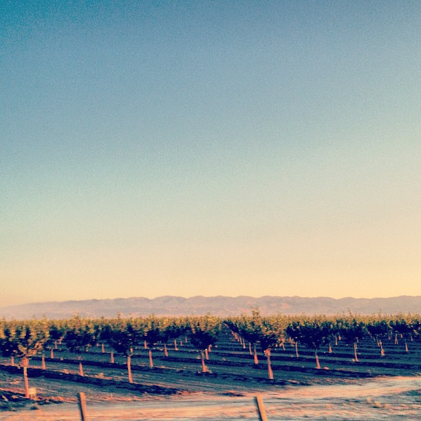
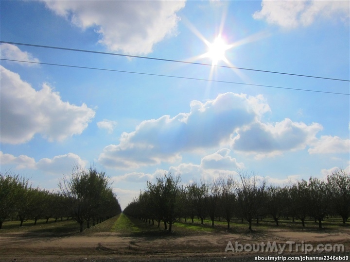
Magic hour orchards

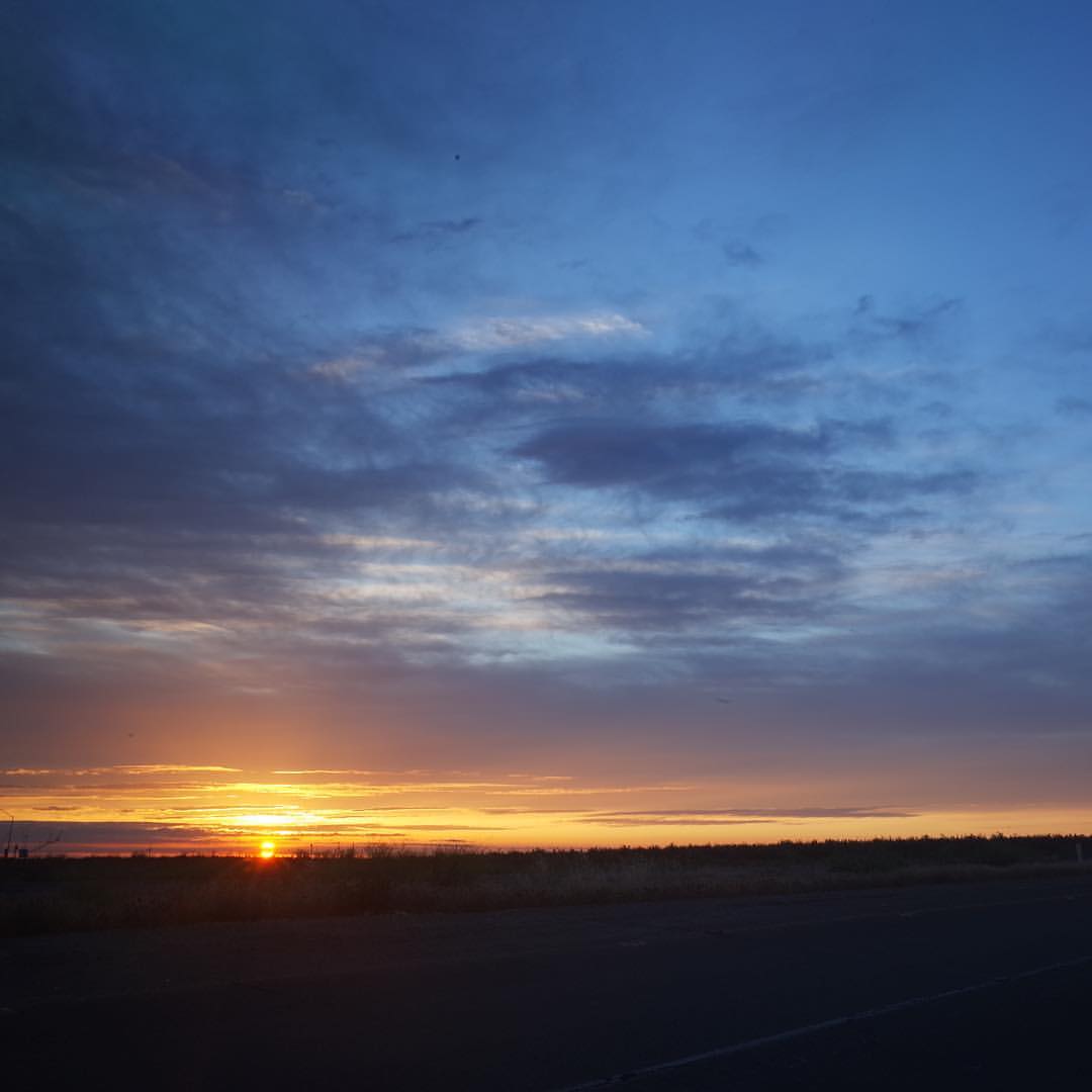
Lost Hills sunset
California Stratigraphy
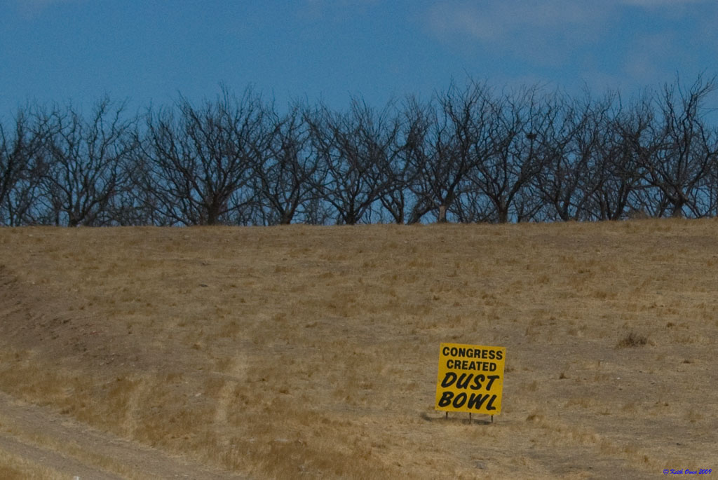
Dead Orchard
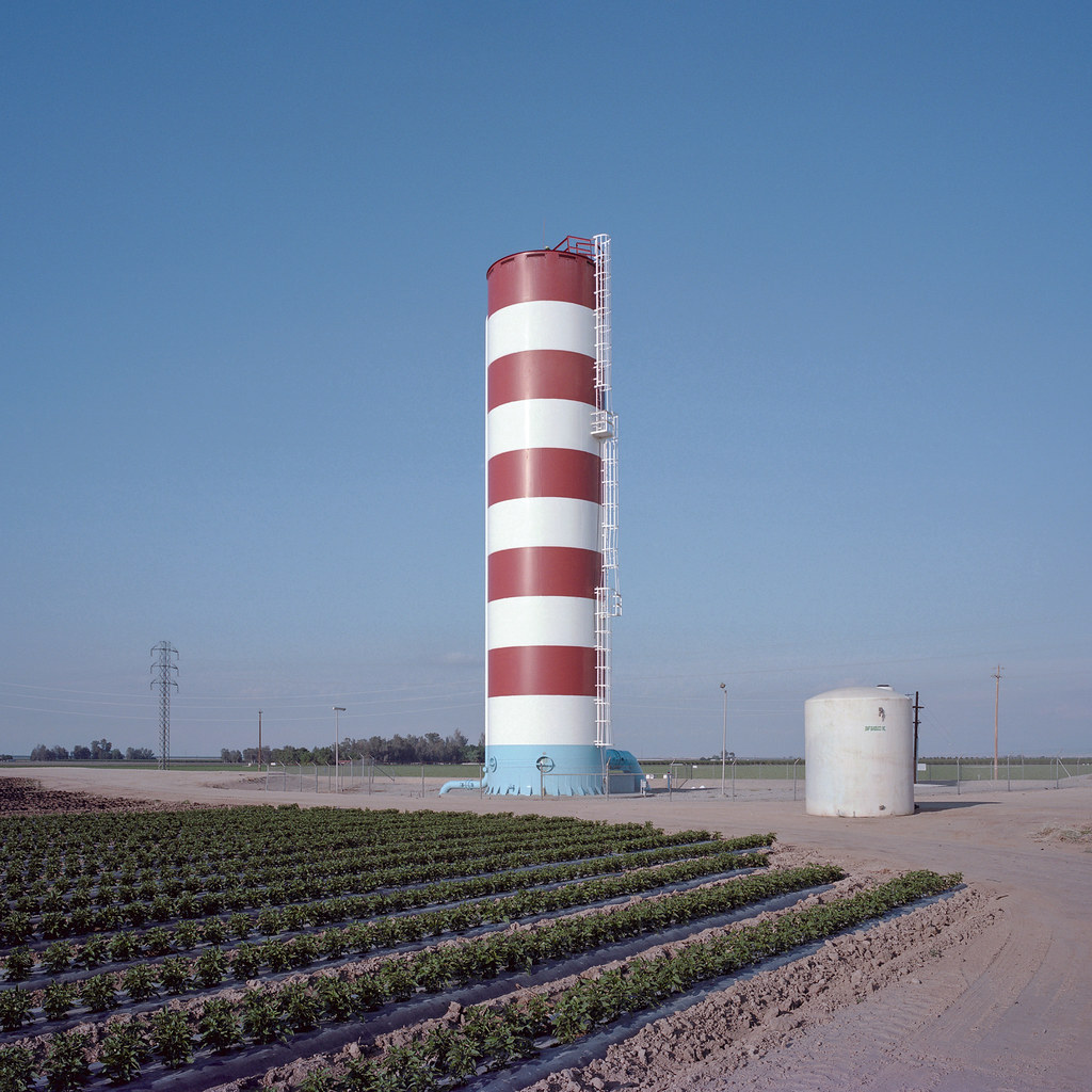
semitropic water storage district. buttonwillow, ca. 2015.

The Drive Throwback USA Los Angeles To San Francisco
#sunrise #ricohgr
California, Kern County
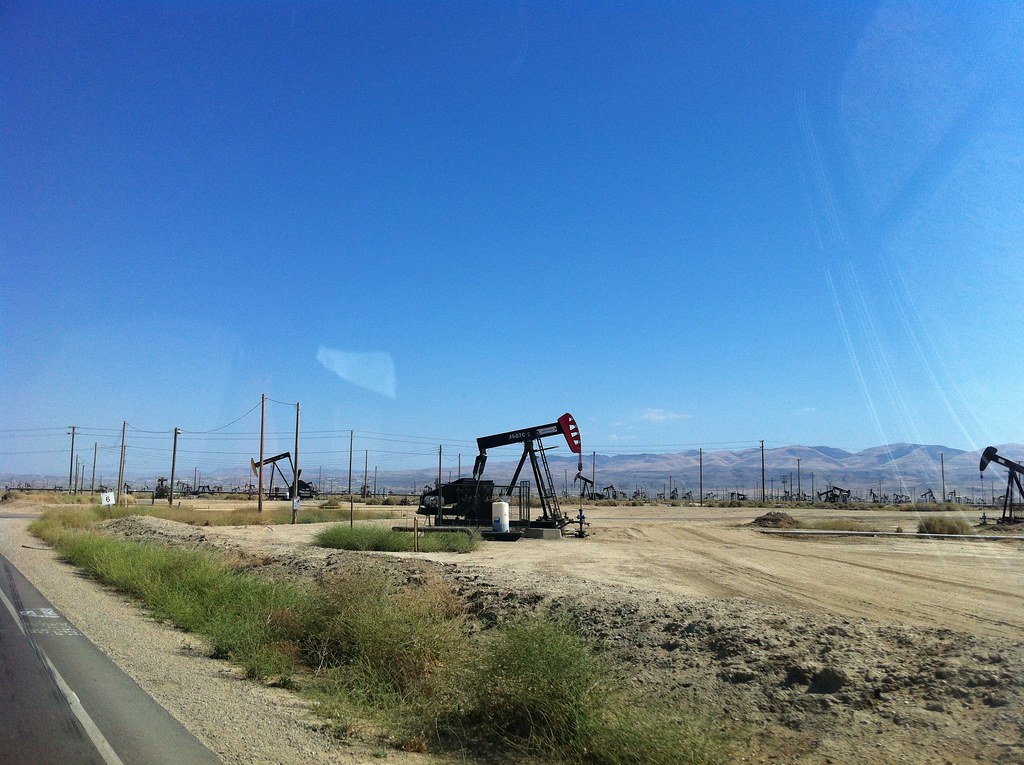
Oil fields west of I-5
Topographic Map of Main Drain Rd, Buttonwillow, CA, USA
Find elevation by address:

Places near Main Drain Rd, Buttonwillow, CA, USA:
21707 Lerdo Hwy
24923 W Lerdo Hwy
CA-33, McKittrick, CA, USA
Lost Hills
Mckittrick
CA-33, Fellows, CA, USA
CA-46, Lost Hills, CA, USA
Blackwells Corner
Fellows
55 Midway Rd, Fellows, CA, USA
Carrizo Plain National Monument
Carrisa Hwy, Santa Margarita, CA, USA
Soda Lake Rd, Santa Margarita, CA, USA
13035 Branch Mountain Rd
Topaz Solar Farm
CA-46, Lost Hills, CA, USA
California 46
CA-33, Kettleman City, CA, USA
2 Annette Rd, Shandon, CA, USA
2352 Sherman Ave
Recent Searches:
- Elevation of Congressional Dr, Stevensville, MD, USA
- Elevation of Bellview Rd, McLean, VA, USA
- Elevation of Stage Island Rd, Chatham, MA, USA
- Elevation of Shibuya Scramble Crossing, 21 Udagawacho, Shibuya City, Tokyo -, Japan
- Elevation of Jadagoniai, Kaunas District Municipality, Lithuania
- Elevation of Pagonija rock, Kranto 7-oji g. 8"N, Kaunas, Lithuania
- Elevation of Co Rd 87, Jamestown, CO, USA
- Elevation of Tenjo, Cundinamarca, Colombia
- Elevation of Côte-des-Neiges, Montreal, QC H4A 3J6, Canada
- Elevation of Bobcat Dr, Helena, MT, USA