Elevation of Mahasamund, Chhattisgarh, India
Location: India > Chhattisgarh >
Longitude: 82.095962
Latitude: 21.1124067
Elevation: 299m / 981feet
Barometric Pressure: 98KPa
Elevation Map:
Satellite Map:
Related Photos:
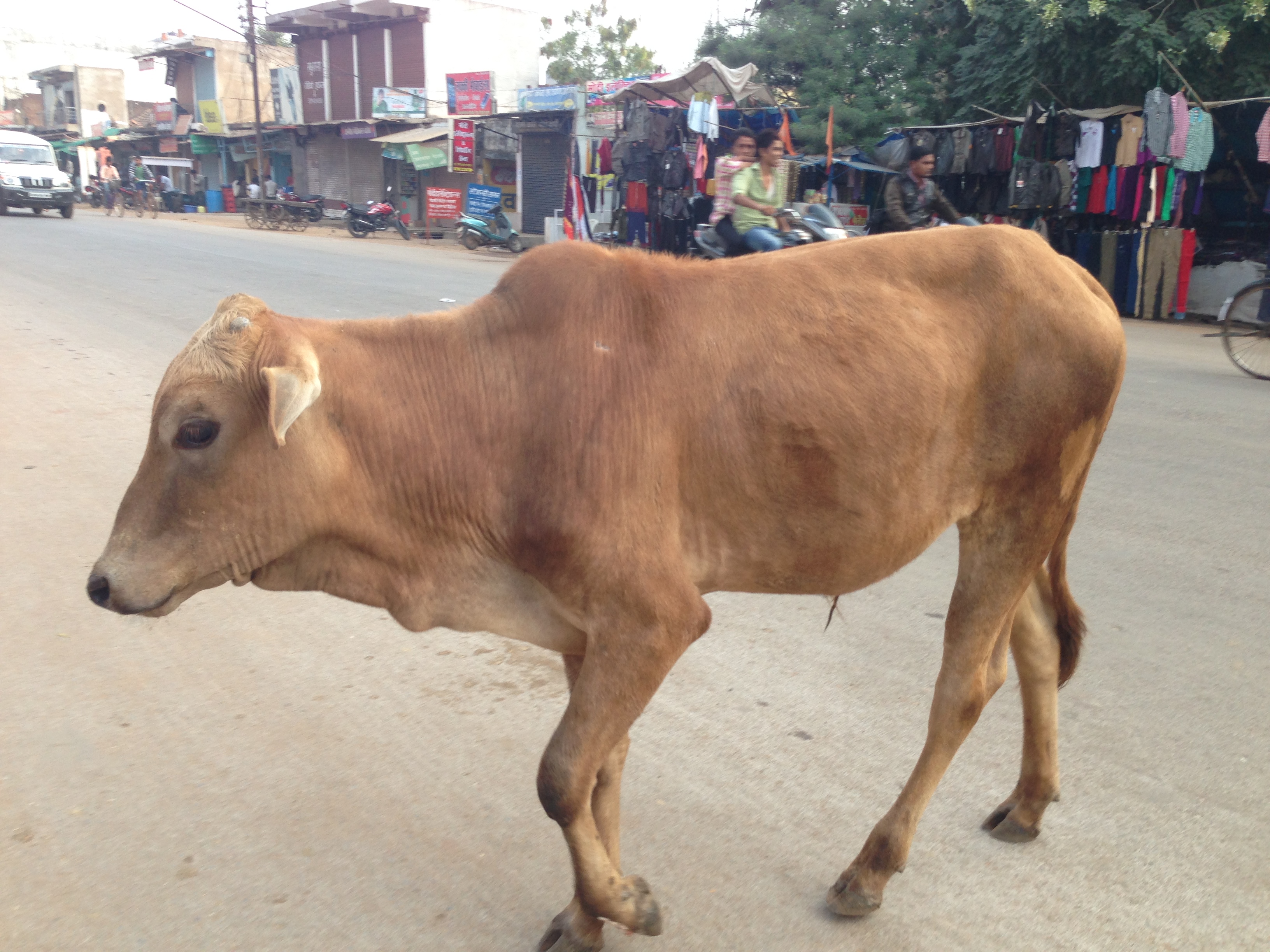
Good Morning India! May the cows bless you today
Topographic Map of Mahasamund, Chhattisgarh, India
Find elevation by address:

Places near Mahasamund, Chhattisgarh, India:
Sirpur
Chhattisgarh
Raipur
Ramchandi
Swami Vivekananda Airport
Indira Gandhi Agricultural University
Palari
Amlihdih
Mowa
Raipur
Barnawapara Forest Range
Baloda Bazar
89/3
Kasdol
Baloda Bazar
Bhatapara
Chhattisgarh, India
Janjgir-champa
National Highway Roadways
Bilaspur
Recent Searches:
- Elevation of Calais Dr, Del Mar, CA, USA
- Elevation of Placer Mine Ln, West Jordan, UT, USA
- Elevation of E 63rd St, New York, NY, USA
- Elevation of Elk City, OK, USA
- Elevation of Erika Dr, Windsor, CA, USA
- Elevation of Village Ln, Finleyville, PA, USA
- Elevation of 24 Oakland Rd #, Scotland, ON N0E 1R0, Canada
- Elevation of Deep Gap Farm Rd E, Mill Spring, NC, USA
- Elevation of Dog Leg Dr, Minden, NV, USA
- Elevation of Dog Leg Dr, Minden, NV, USA