Elevation of Madison County, KY, USA
Location: United States > Kentucky >
Longitude: -84.312126
Latitude: 37.7143001
Elevation: 297m / 974feet
Barometric Pressure: 98KPa
Elevation Map:
Satellite Map:
Related Photos:
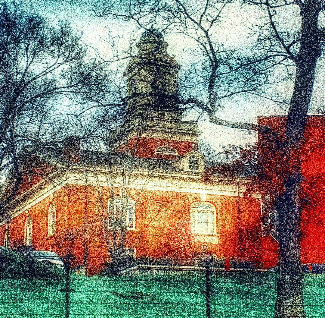
Lovely view of the Phelps Stokes Chapel at @berea_college #buildings #photoart #artsy #berea #visitberea

Day 3/365: Music Is Key
Battle of Richmond, Kentucky - Eastern Half of Mount Zion Church Battlefield
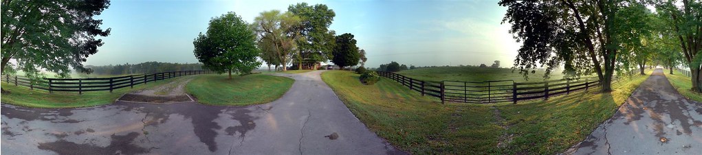
Windrose Panorama

Day 6/365: Stronger
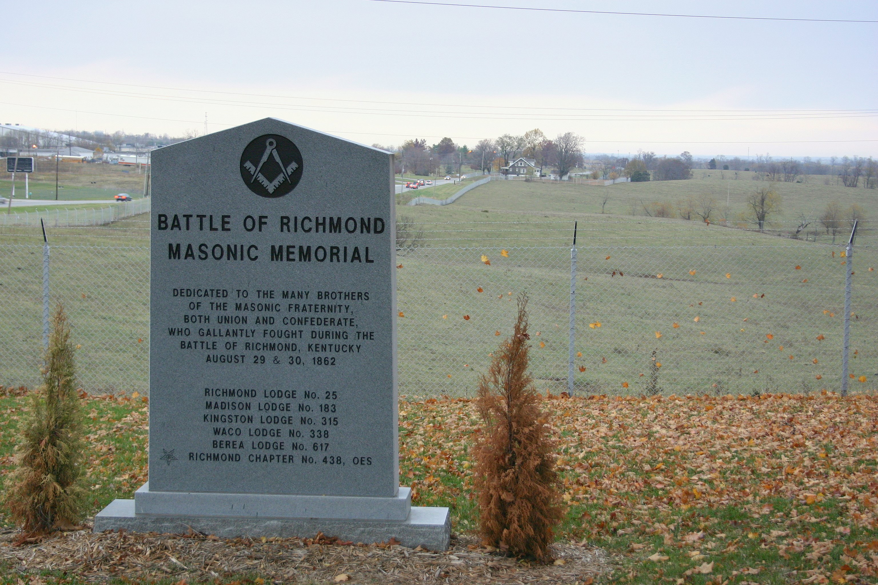
Battle of Richmond Kentucky

Day 1/365: Vote
Battle of Richmond, Kentucky - Charge of the 95th Ohio

Battle of Richmond, Kentucky - White's Farm Phase

Battle of Richmond, Kentucky - McCray's Flank Attack
Battle of Richmond, Kentucky - Kingston
The Panoramic View from the Red Roof Inn, Richmond, KY
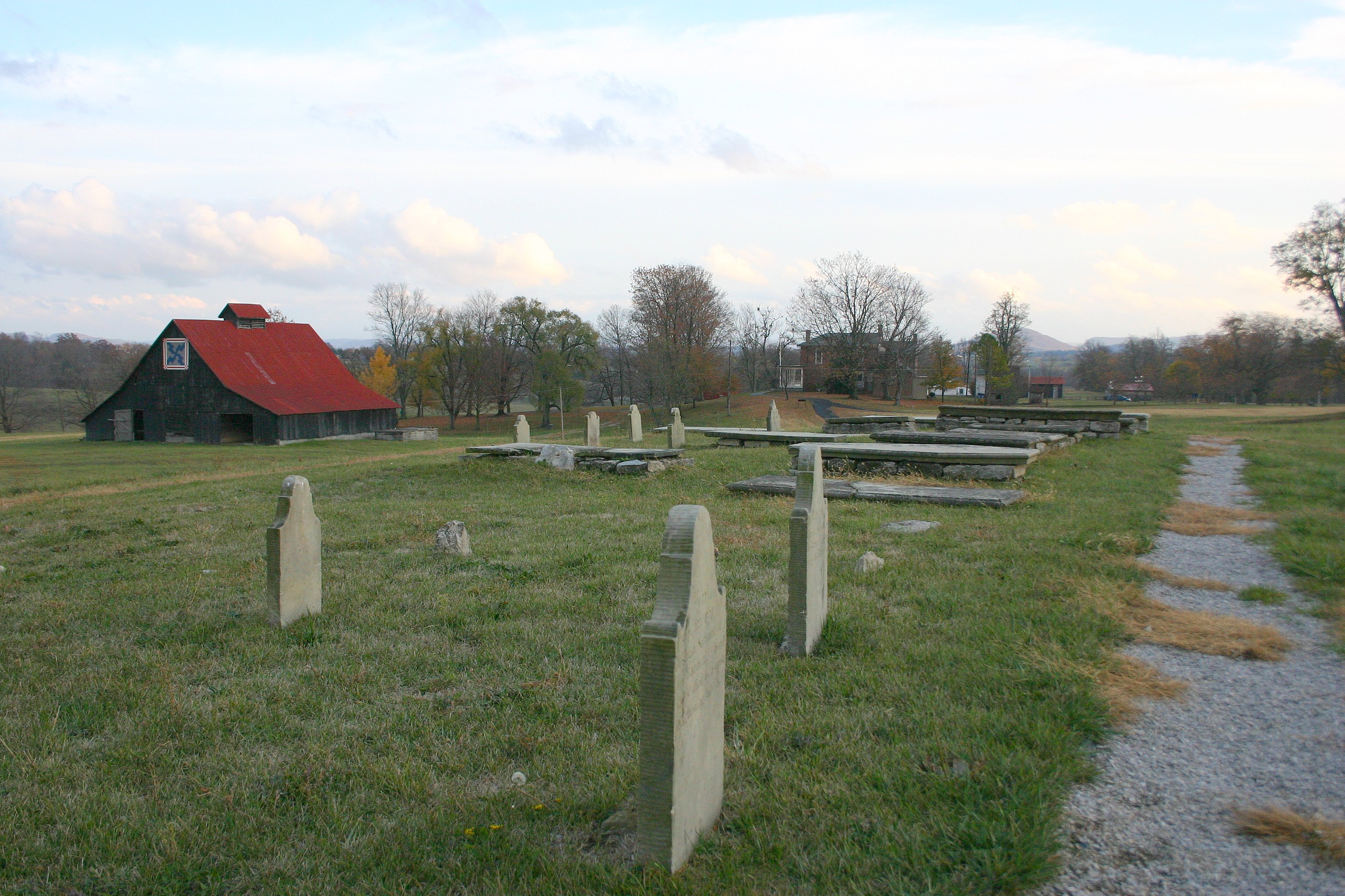
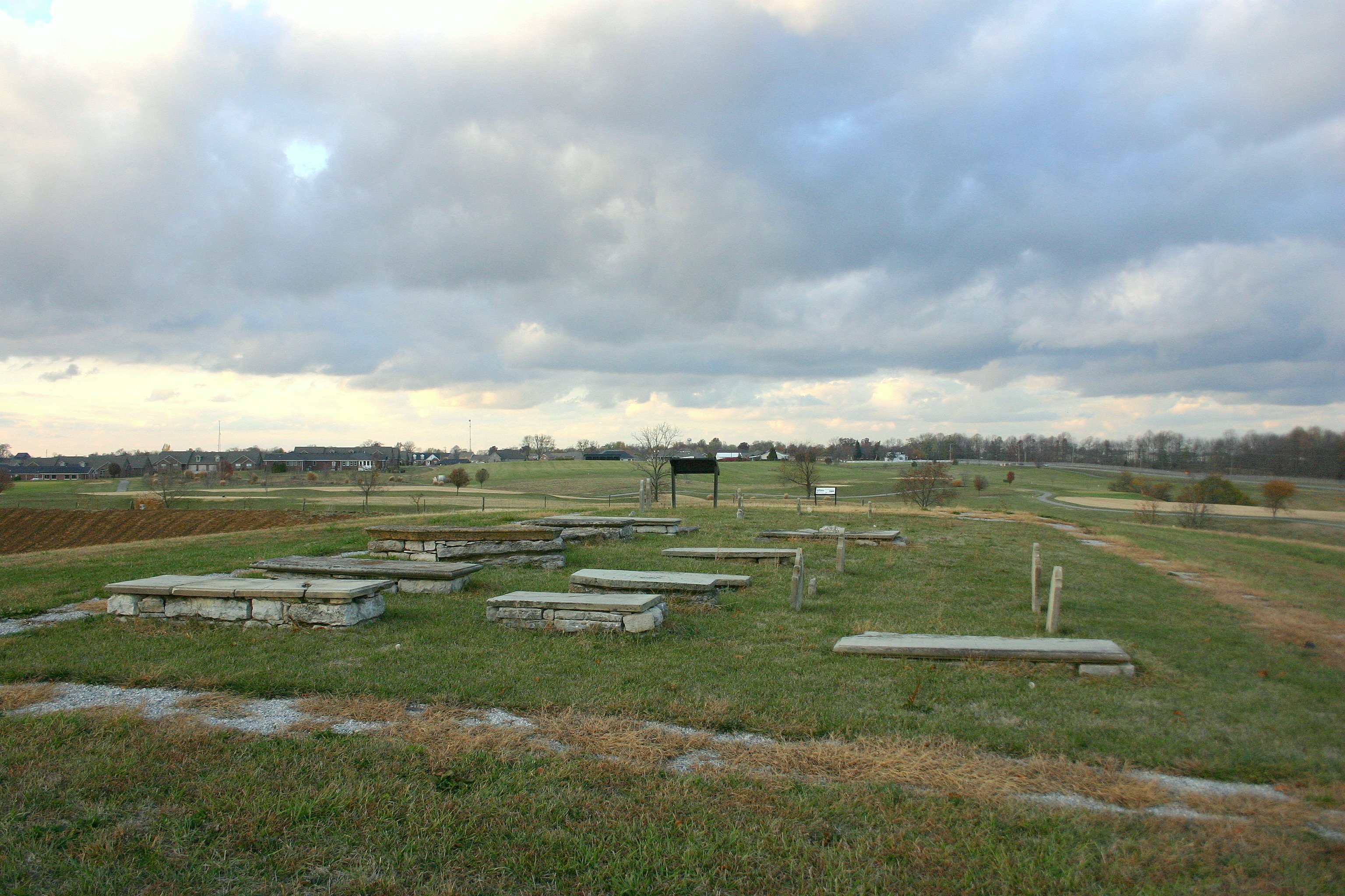
Battle of Richmond, Kentucky - Barrett Family Cemetery

Stanger 48-3

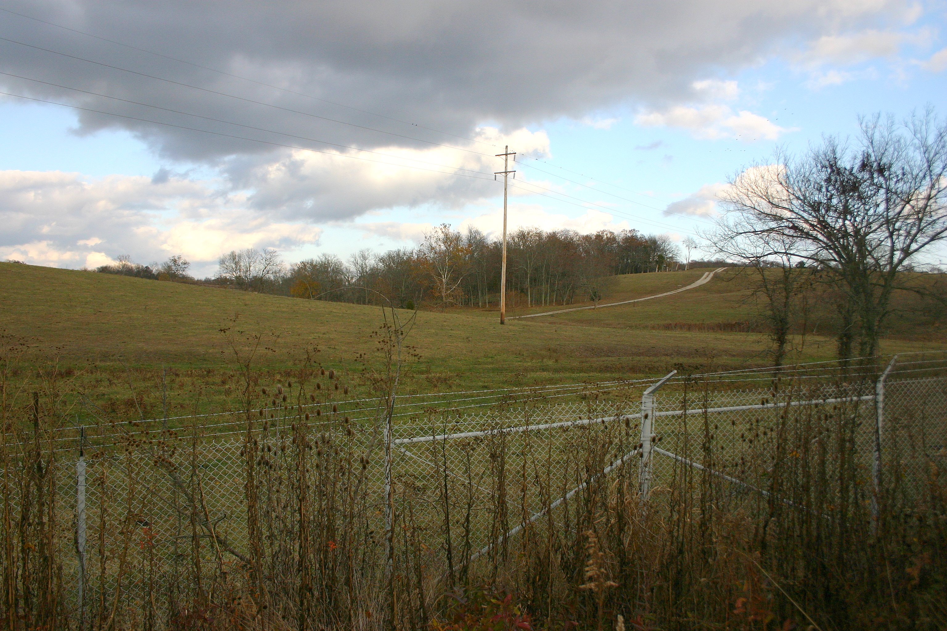
The view out of my office Window this morning. Roads were not great at 7am, but I imagine by now they are better.
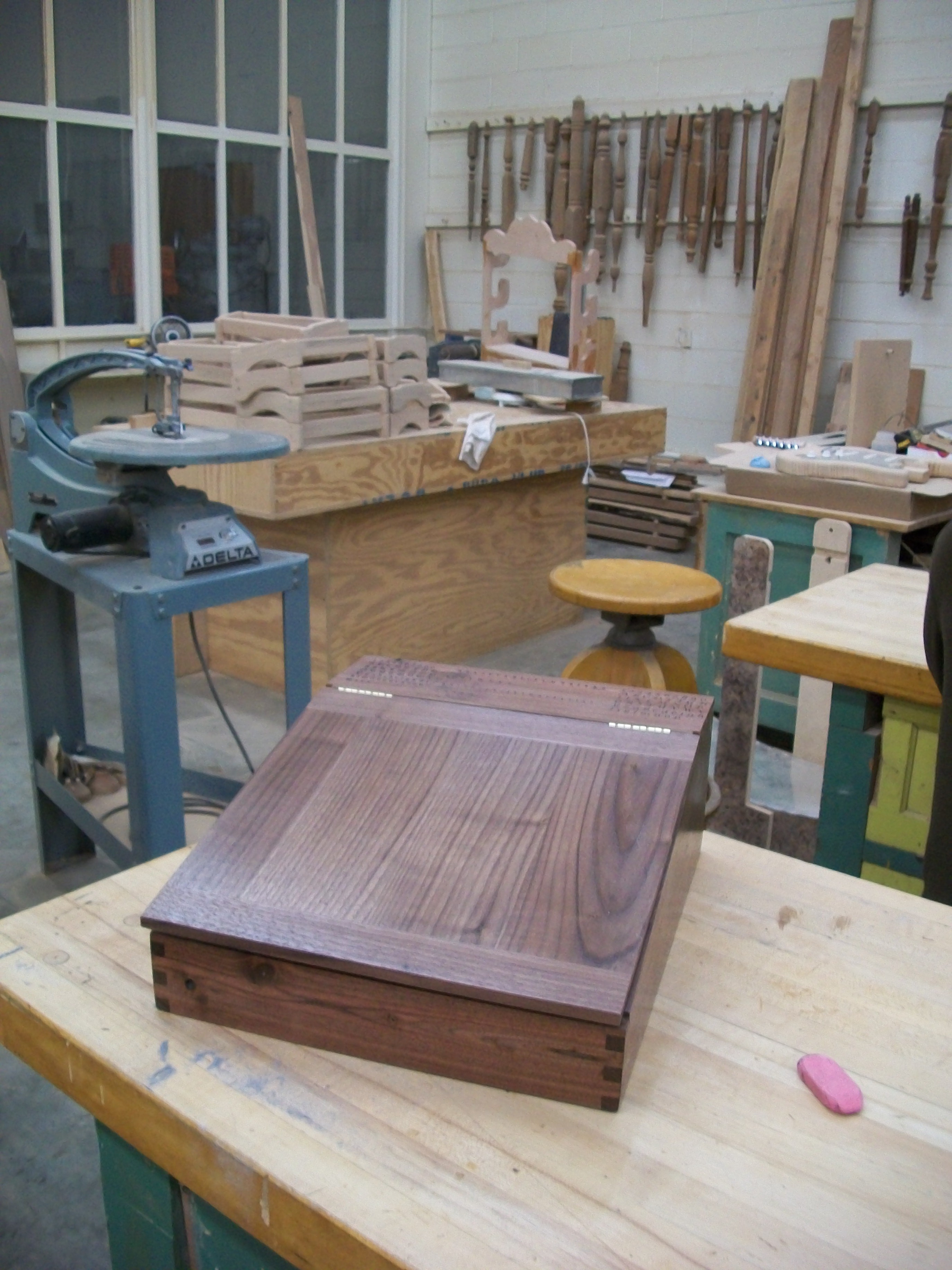
Portable desk front view
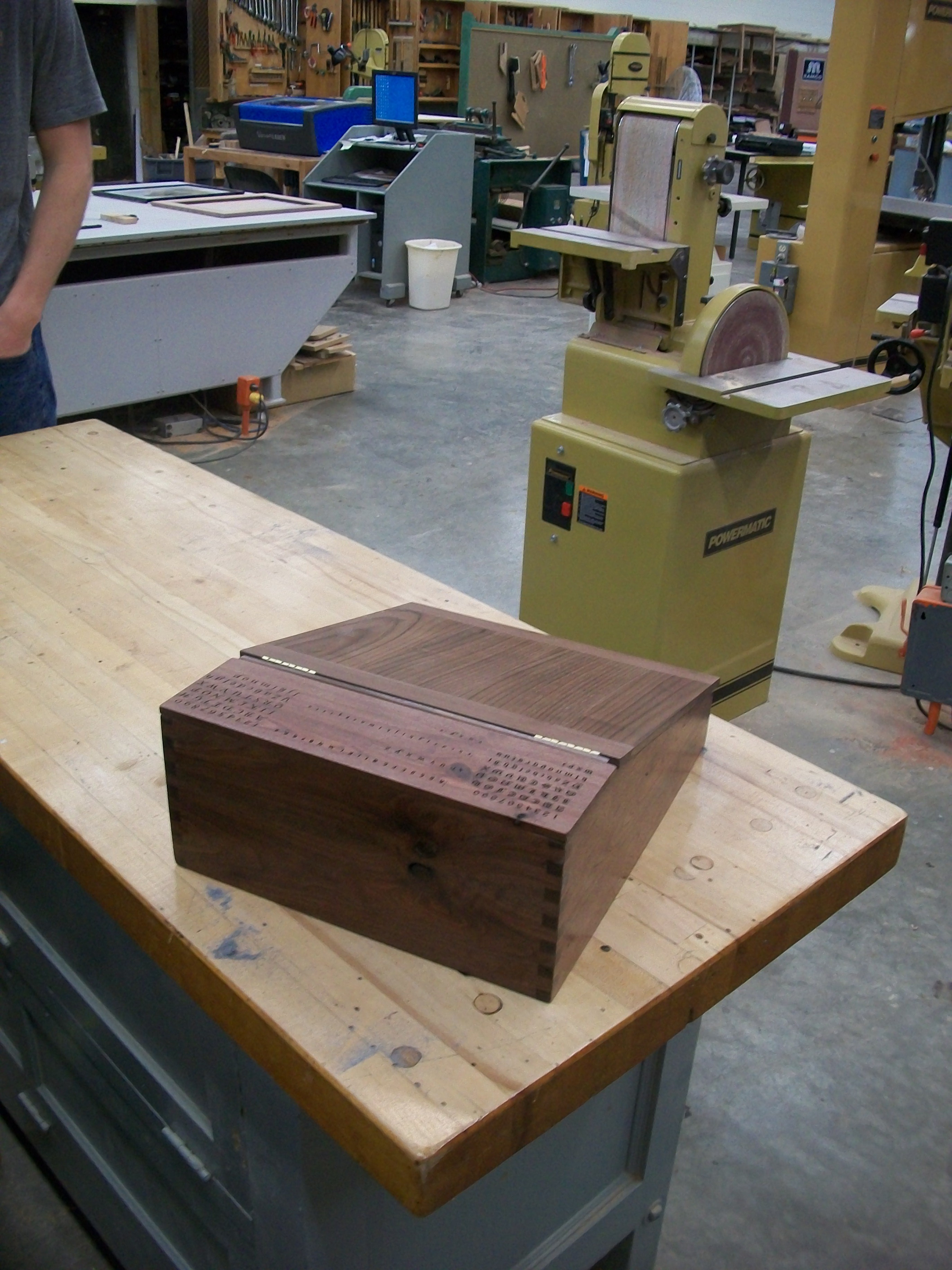
Portable desk back view
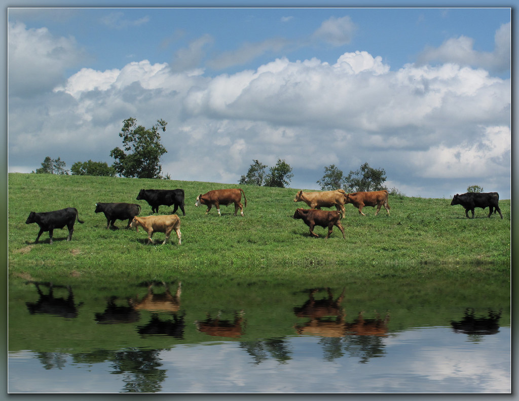
Steer this way, please.......

powell building, EKU campus
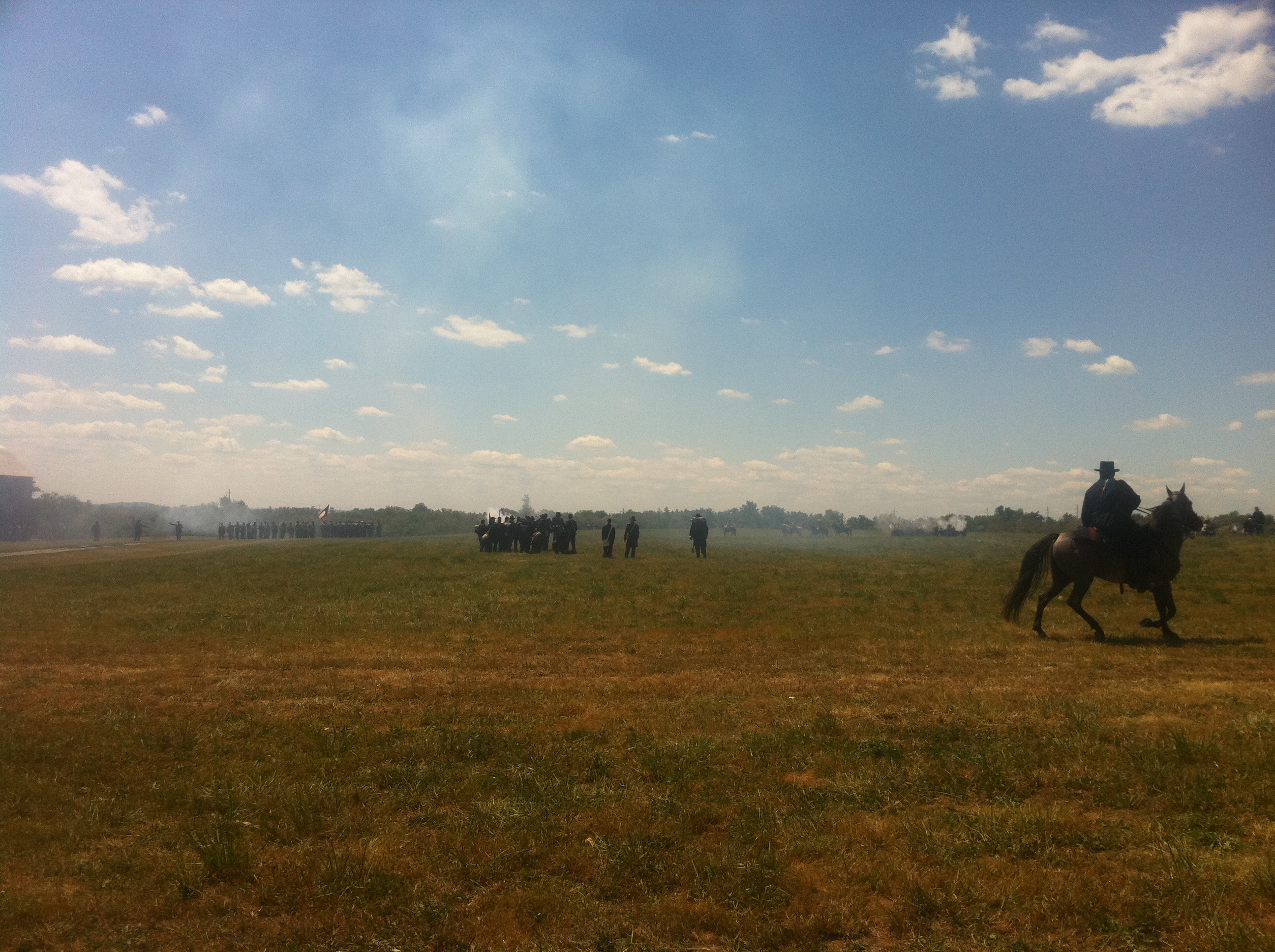
Surveying the battle

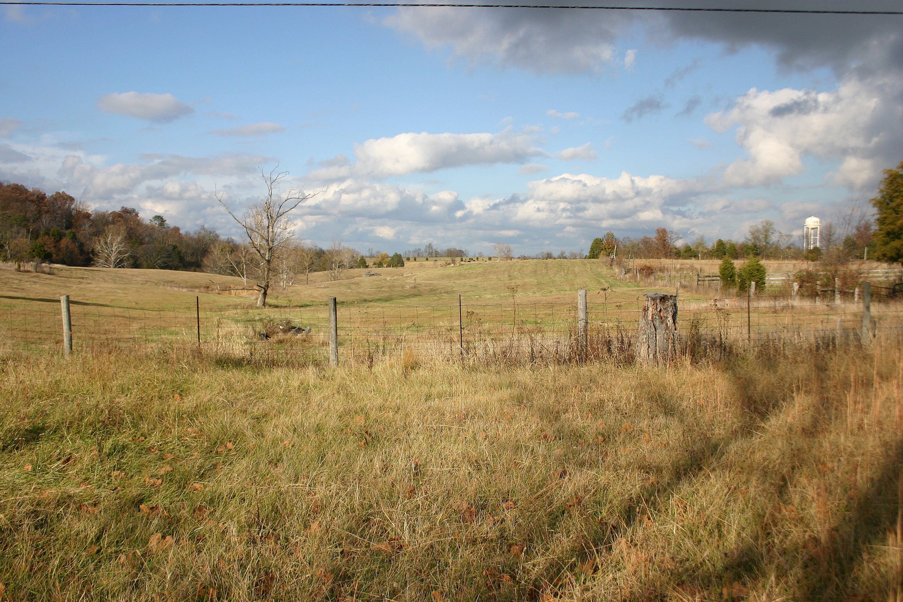
Battle of Richmond, Kentucky - The Open Meadow
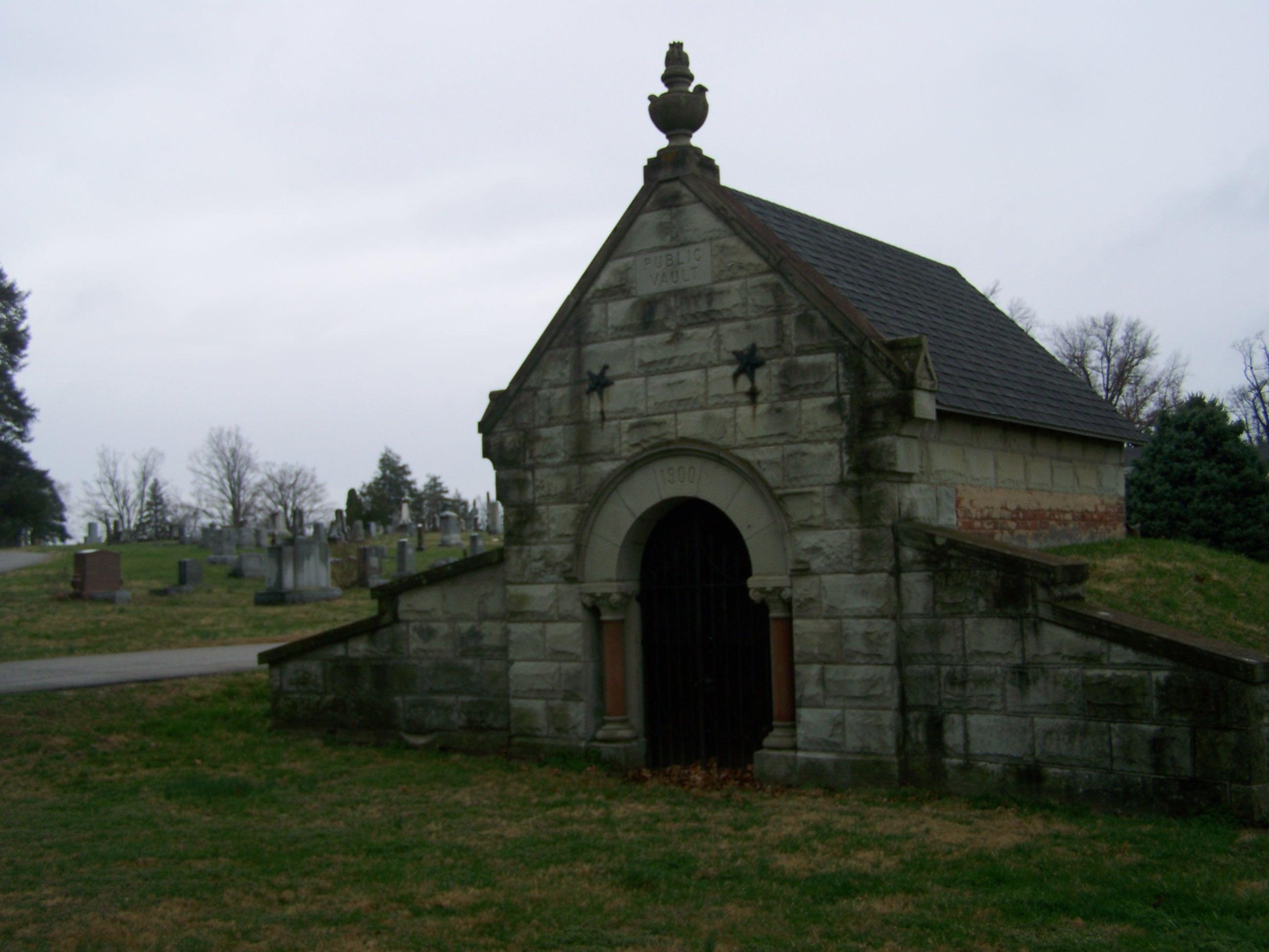
Richmond Cemetery- Richmond KY (1)
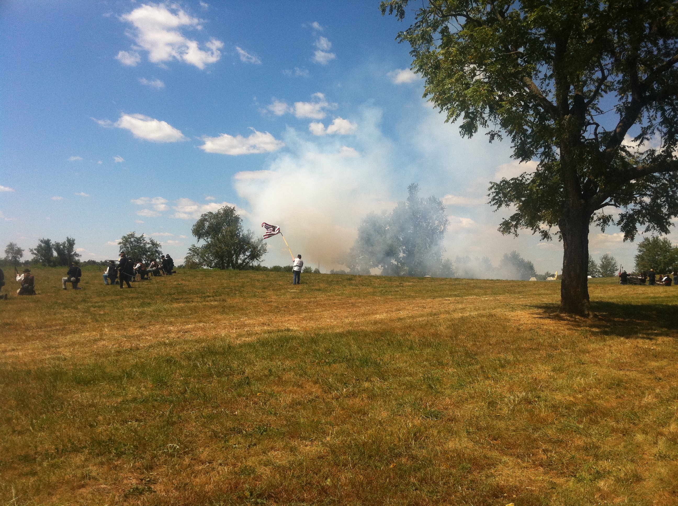
Union infantry and artillery
Battle of Richmond, Kentucky - Position of Hill's Brigade, First Phase
Battle of Richmond, Kentucky - Charge of the 95th Ohio

Richmond Cemetery- Richmond KY (2)
Battle of Richmond, KY
Richmond Battlefield - McCray's Flank Attack
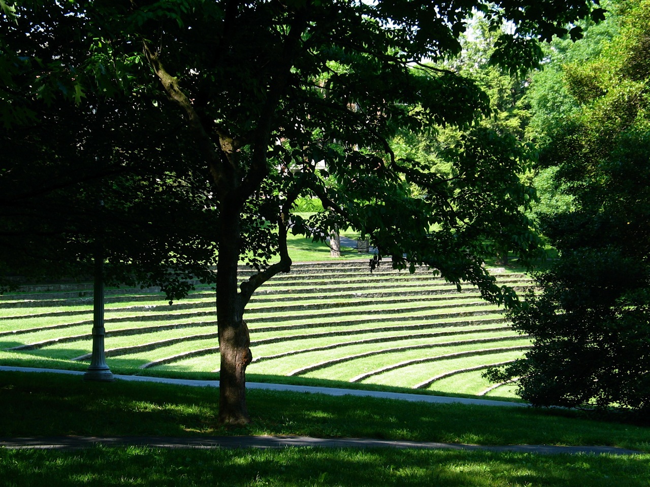
the "ravine" at EKU

Middle Cascade on Silver Creek.

Battle of Richmond, Kentucky - Position of Hill's Brigade and Confederate Artillery

the "ravine" at EKU

Battle of Richmond, Kentucky - Kavanaugh Armstrong House
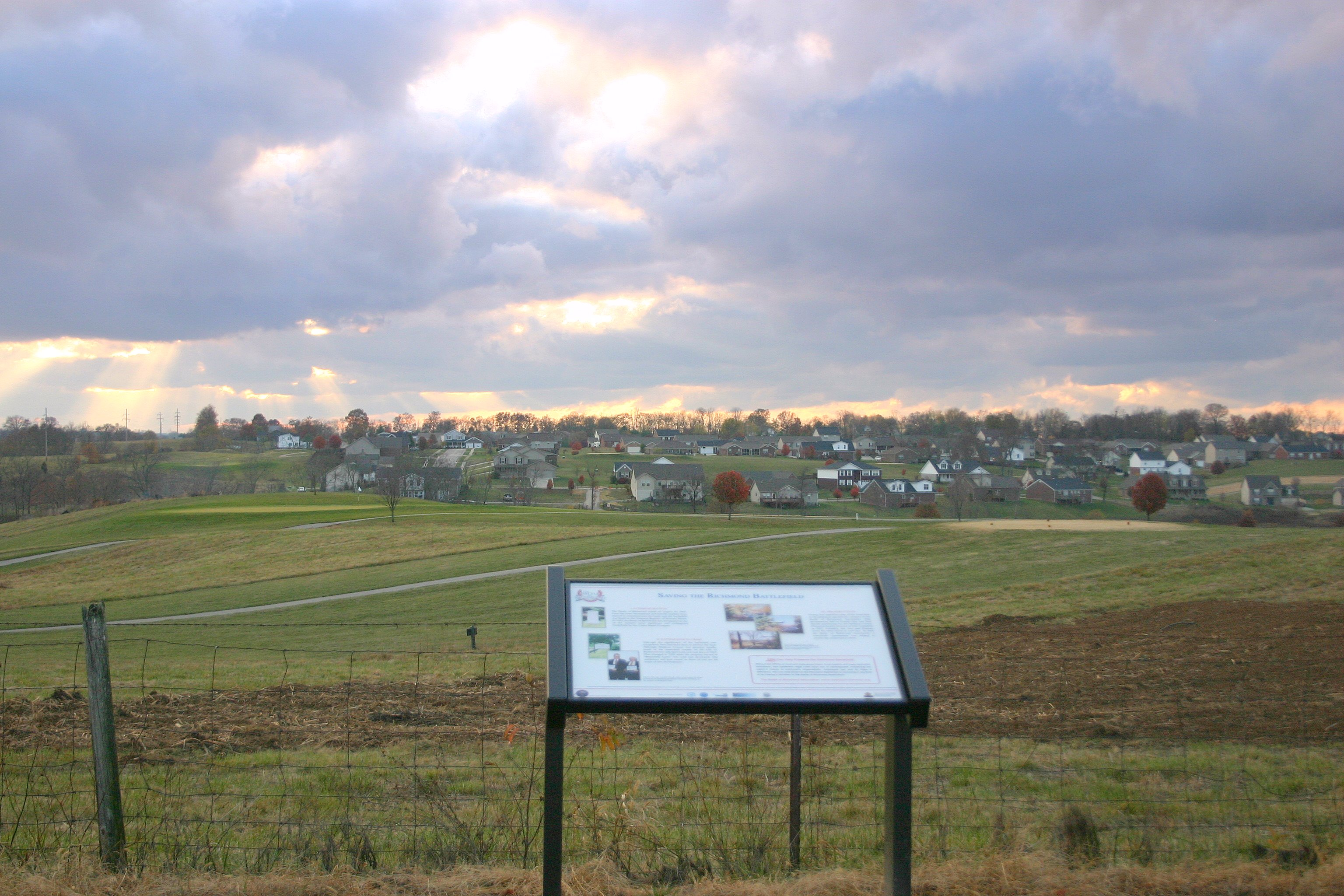
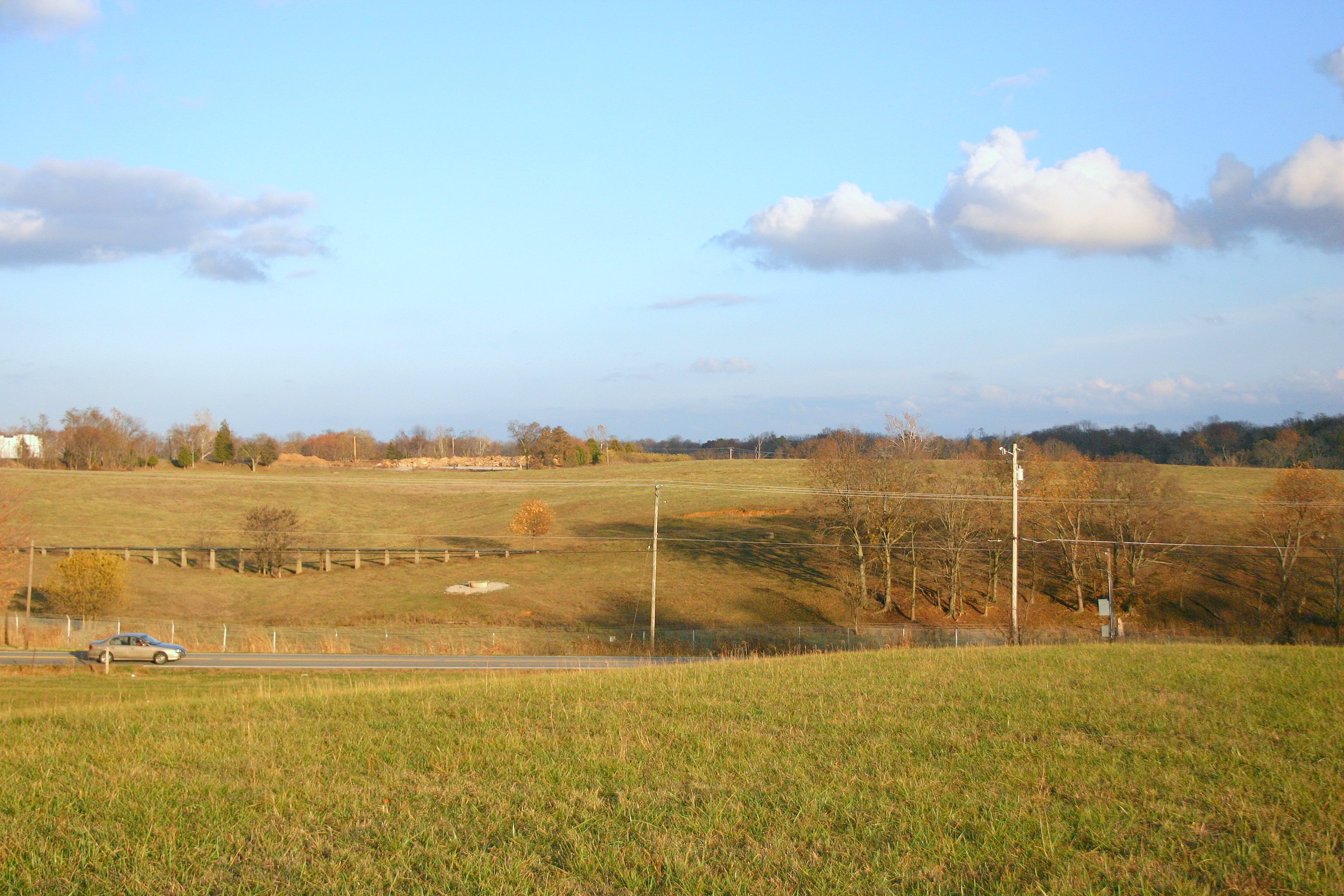
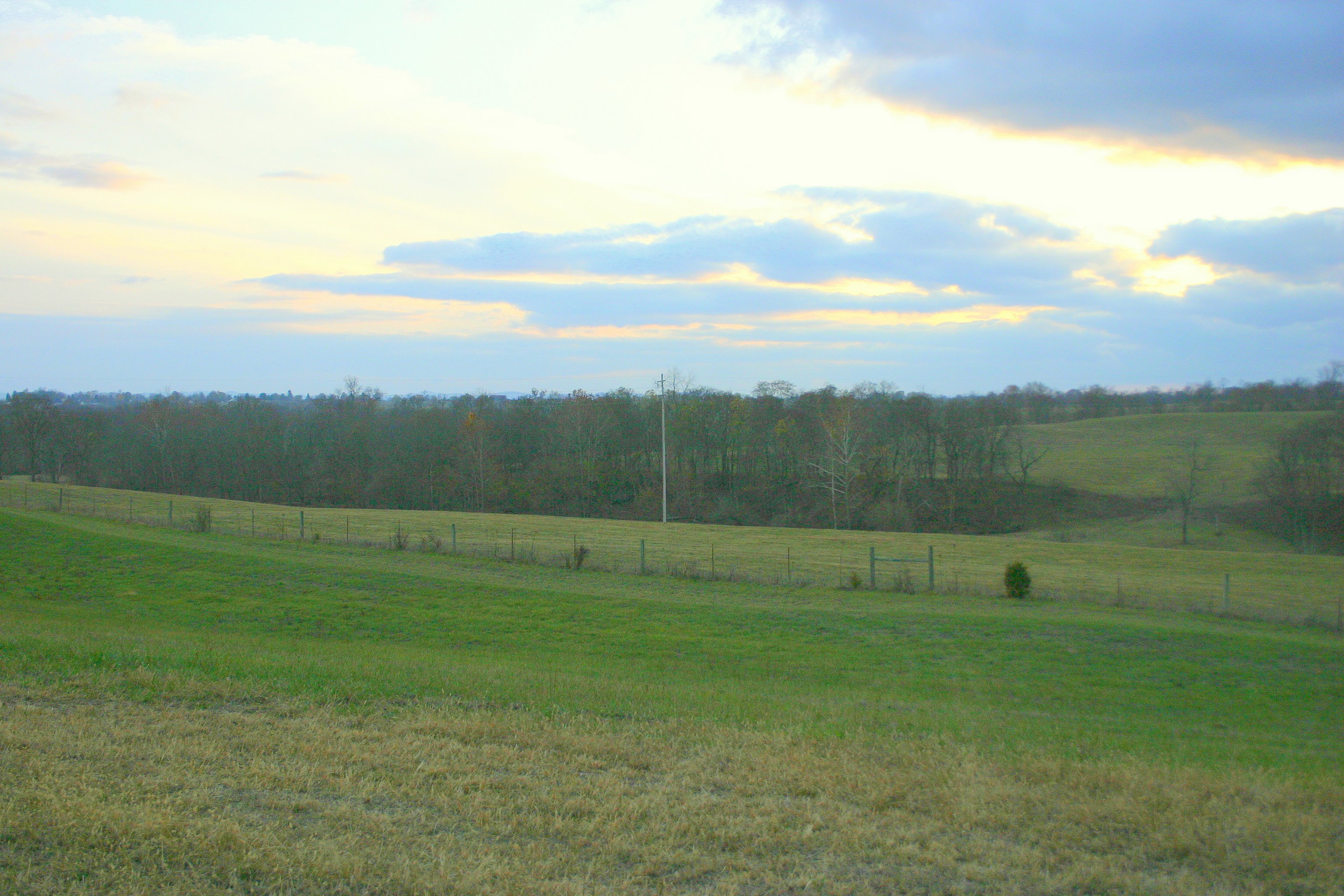
Development adjacent to Richmond Battlefield Park - Mount Zion Church Phase

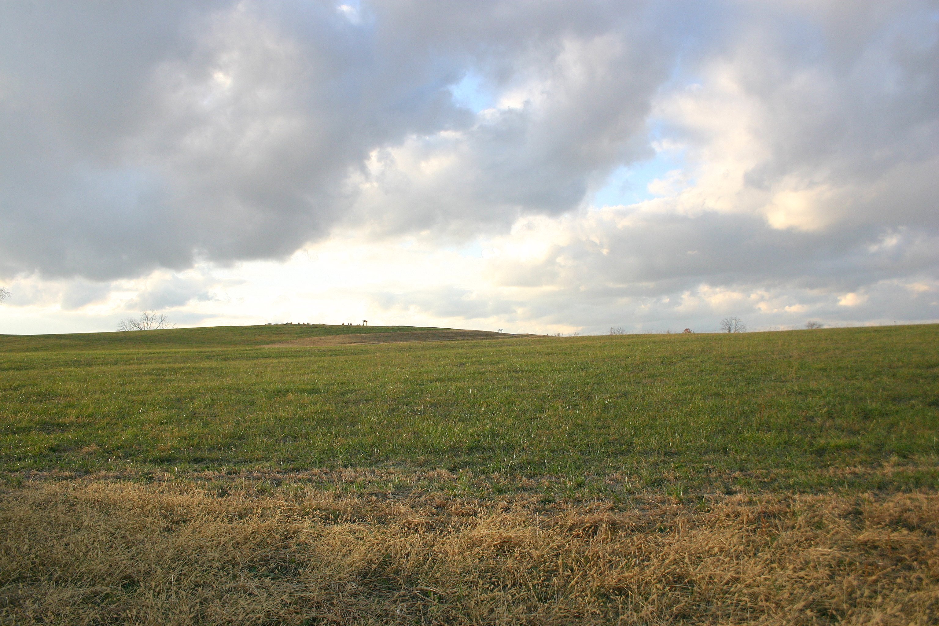
RIchmond Battlefield
Topographic Map of Madison County, KY, USA
Find elevation by address:

Places in Madison County, KY, USA:
Places near Madison County, KY, USA:
Eastern Kentucky University
801 Eastern Bypass
107 Longview Dr
113 Longview Dr
Lancaster Rd, Richmond, KY, USA
512 Martin Dr
100 Ky-52
Richmond
The Castle Jewelry And Pawn Of Richmond
221 N Estill Ave
725 Marietha Dr
1105 Kim Kent Dr
Punkin Run Road
225 Park Lakes Dr
Dee Dee Dr, Richmond, KY, USA
103 General Cleburne Dr
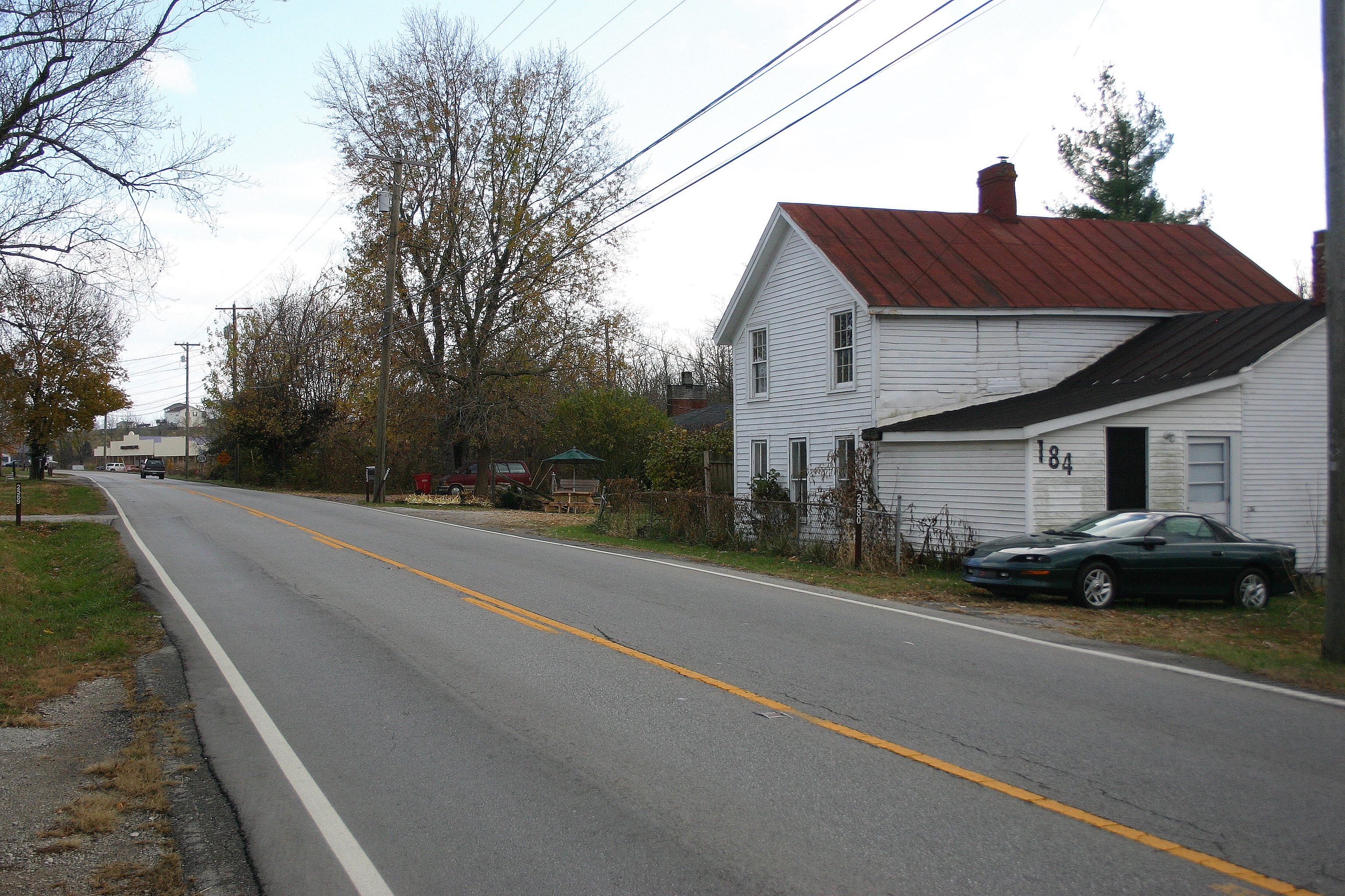
184 General Cleburne Dr
Meadowbrook Rd, Richmond, KY, USA
1005 Isaac Dr
1989 Speedwell Rd
Recent Searches:
- Elevation of Corso Fratelli Cairoli, 35, Macerata MC, Italy
- Elevation of Tallevast Rd, Sarasota, FL, USA
- Elevation of 4th St E, Sonoma, CA, USA
- Elevation of Black Hollow Rd, Pennsdale, PA, USA
- Elevation of Oakland Ave, Williamsport, PA, USA
- Elevation of Pedrógão Grande, Portugal
- Elevation of Klee Dr, Martinsburg, WV, USA
- Elevation of Via Roma, Pieranica CR, Italy
- Elevation of Tavkvetili Mountain, Georgia
- Elevation of Hartfords Bluff Cir, Mt Pleasant, SC, USA