Elevation of Dee Dee Dr, Richmond, KY, USA
Location: United States > Kentucky > Madison County > Richmond >
Longitude: -84.291846
Latitude: 37.7687945
Elevation: 278m / 912feet
Barometric Pressure: 98KPa
Elevation Map:
Satellite Map:
Related Photos:

A Foggy Boonesborough Morning

The Catbird Seat

Kentucky River Blast 2014

Kentucky River Blast 2014

Kentucky River Blast 2014

Kentucky River Blast 2014

Day 3/365: Music Is Key
Battle of Richmond, Kentucky - Eastern Half of Mount Zion Church Battlefield
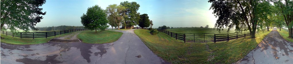
Windrose Panorama

Day 6/365: Stronger
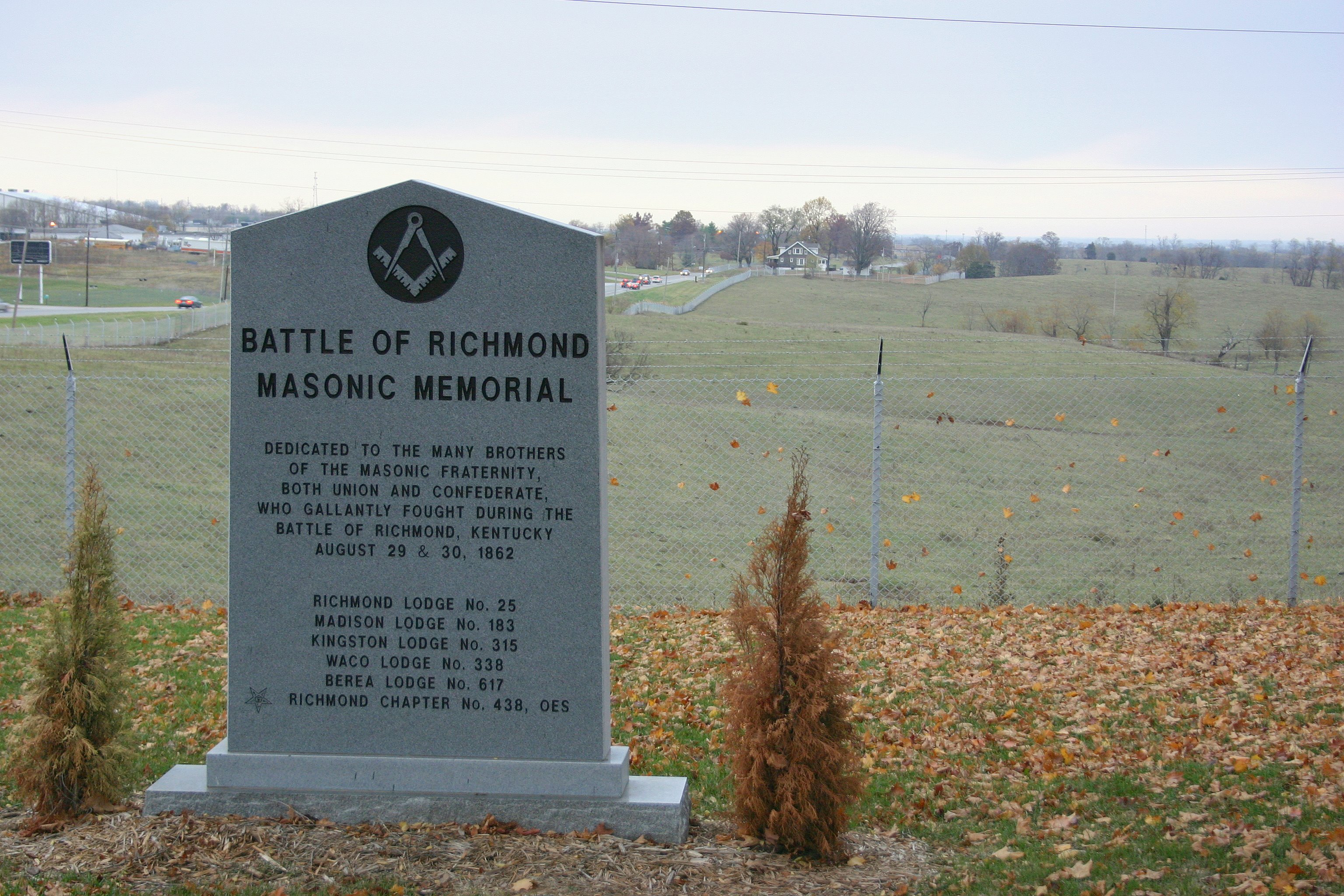
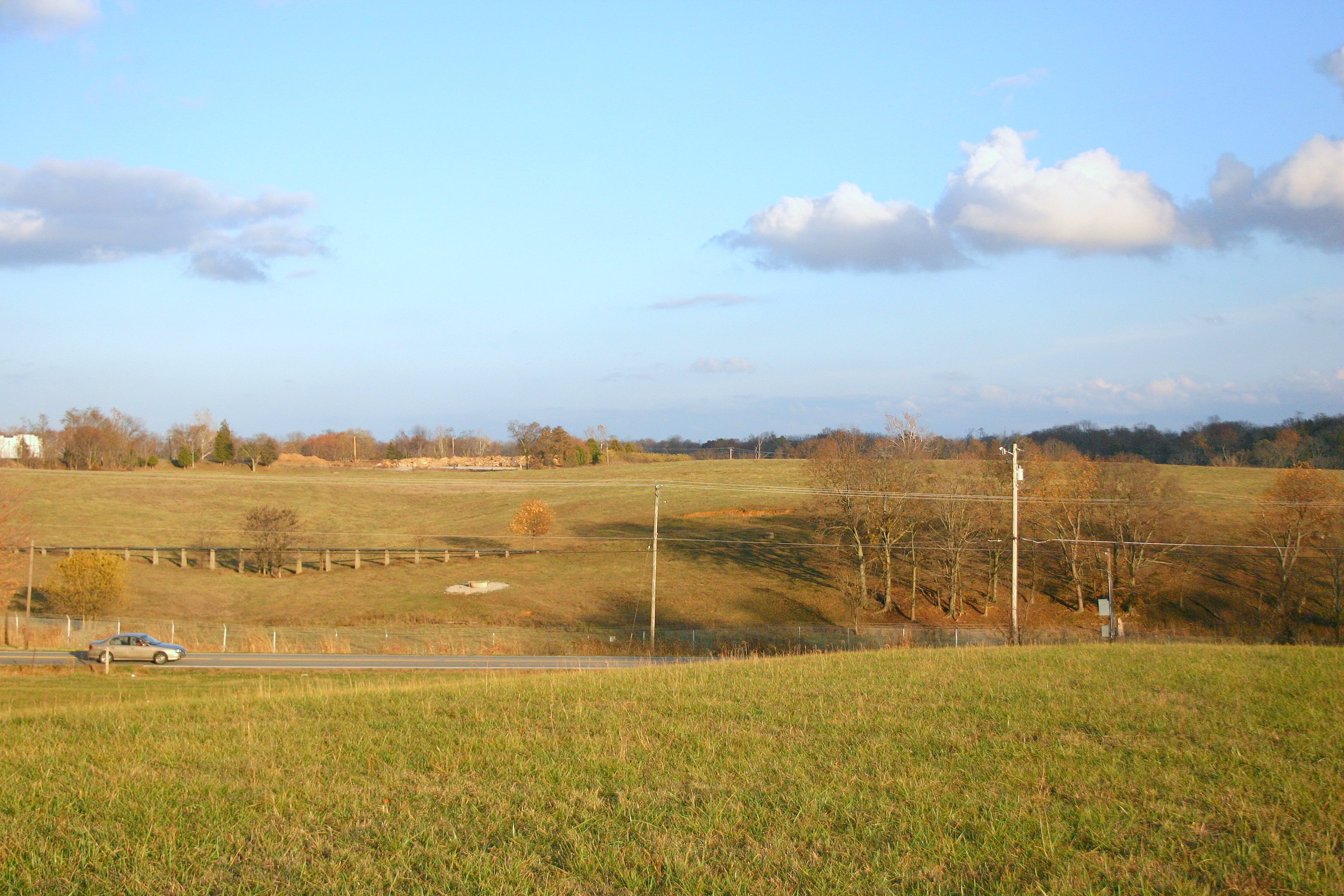
Battle of Richmond Kentucky
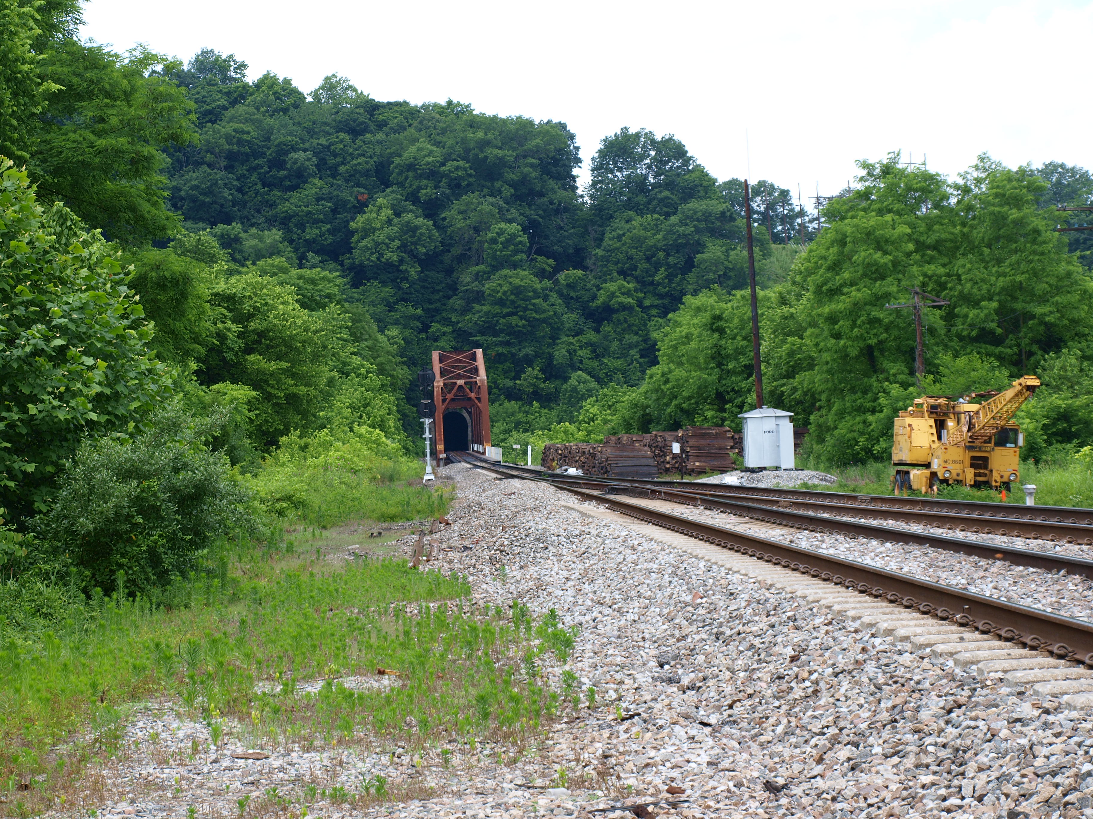
Unknown railroad truss bridge, Clark County, KY

Day 1/365: Vote

Views like this are why I love #driving #backroads here in #Kentucky #horses

Battle of Richmond, Kentucky - McCray's Flank Attack
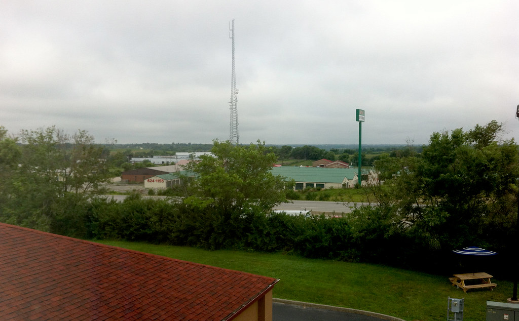
The Panoramic View from the Red Roof Inn, Richmond, KY
Battle of Richmond, Kentucky - Kingston
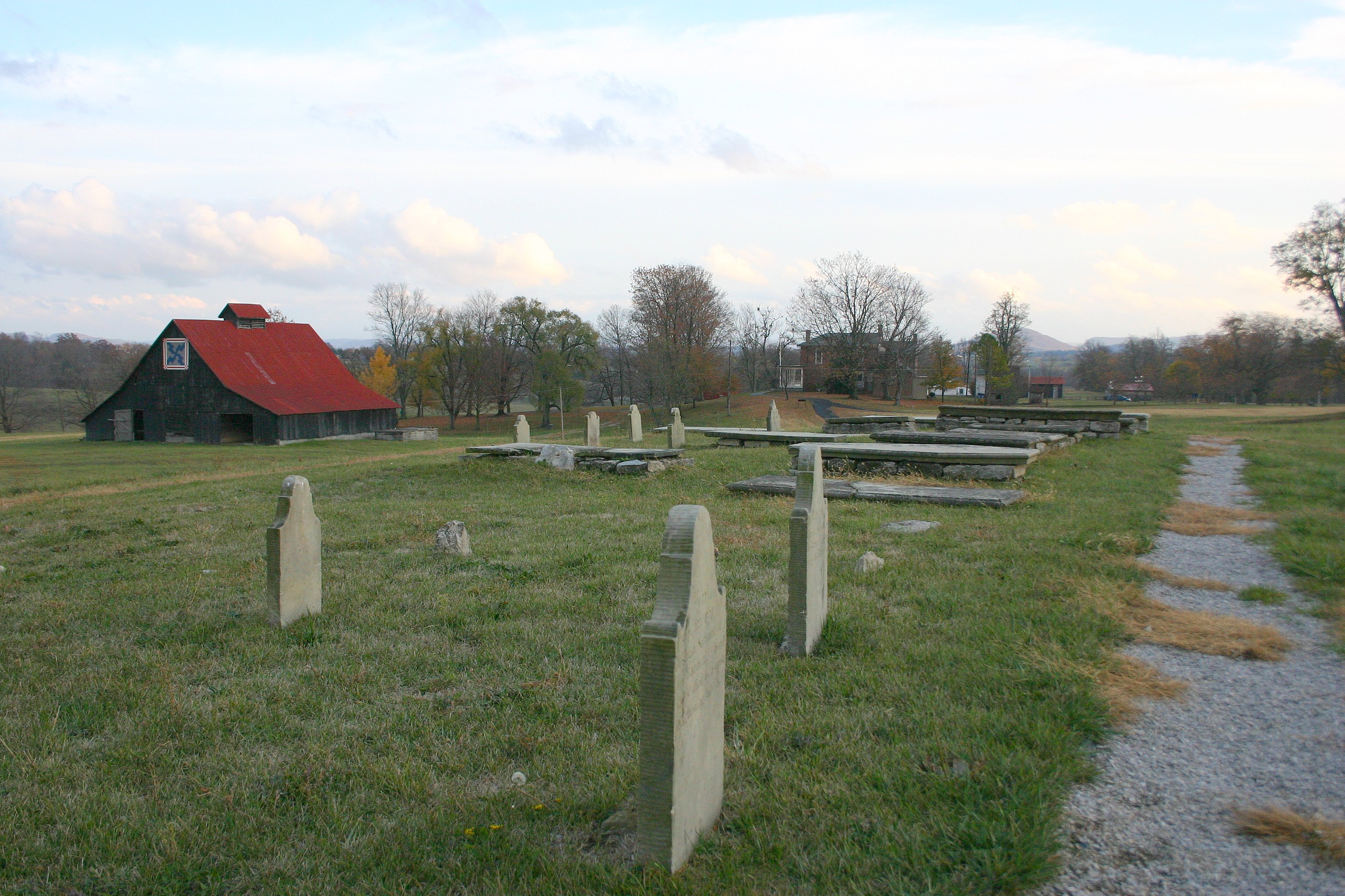
Battle of Richmond, Kentucky - Barrett Family Cemetery

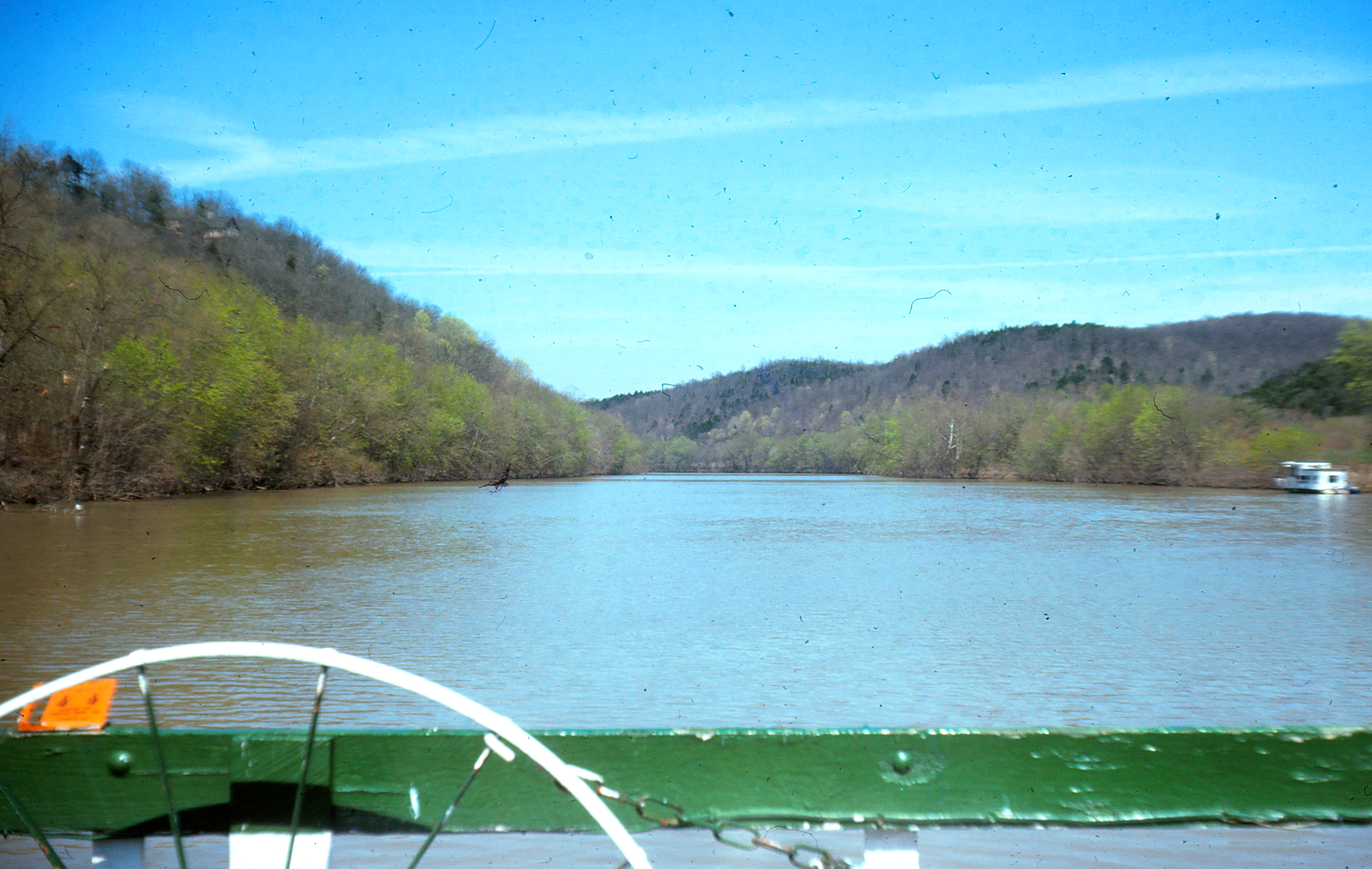
The Kentucky River
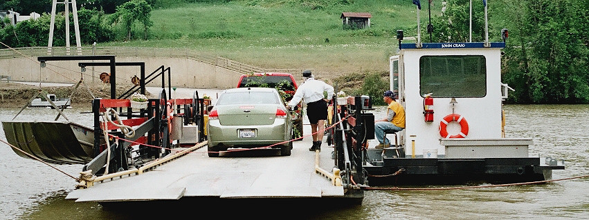
Valley View Ferry
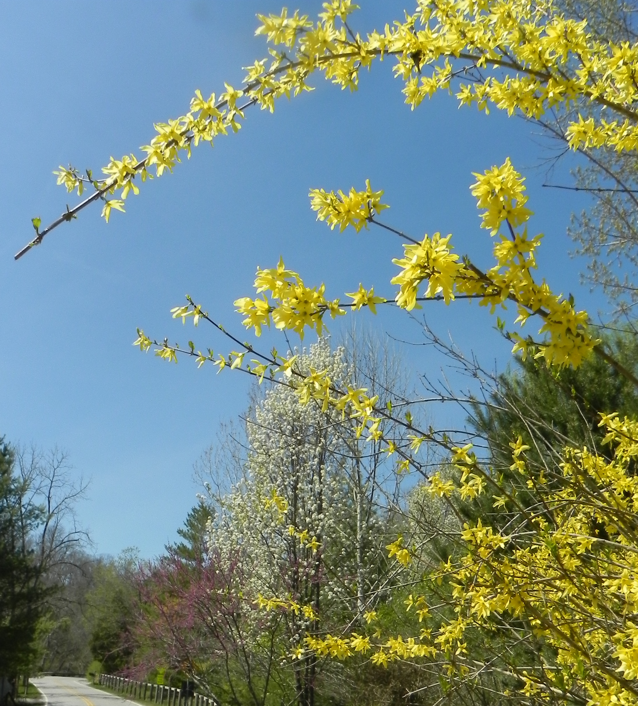
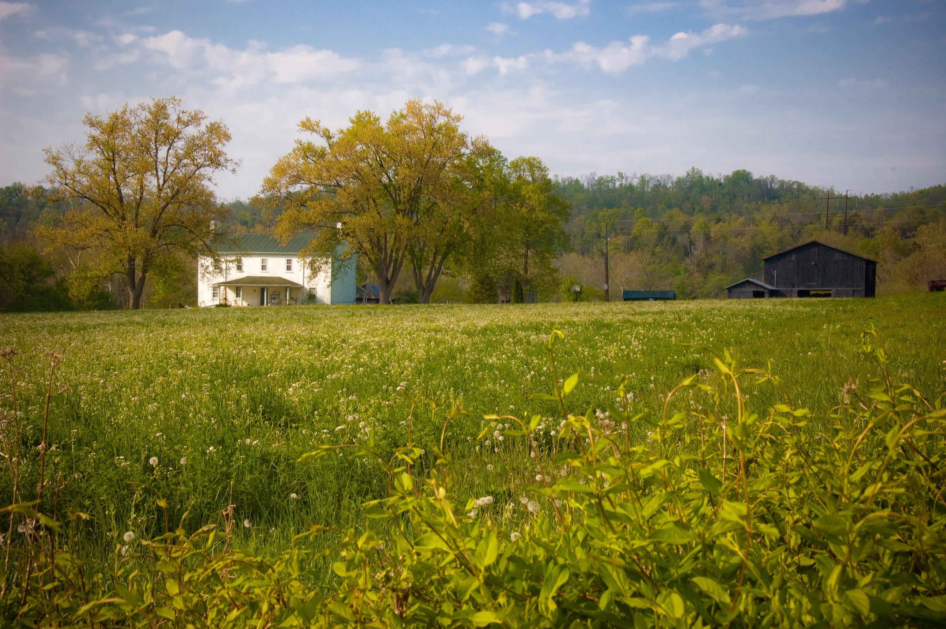
Spring Colors
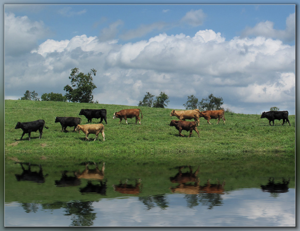
Steer this way, please.......
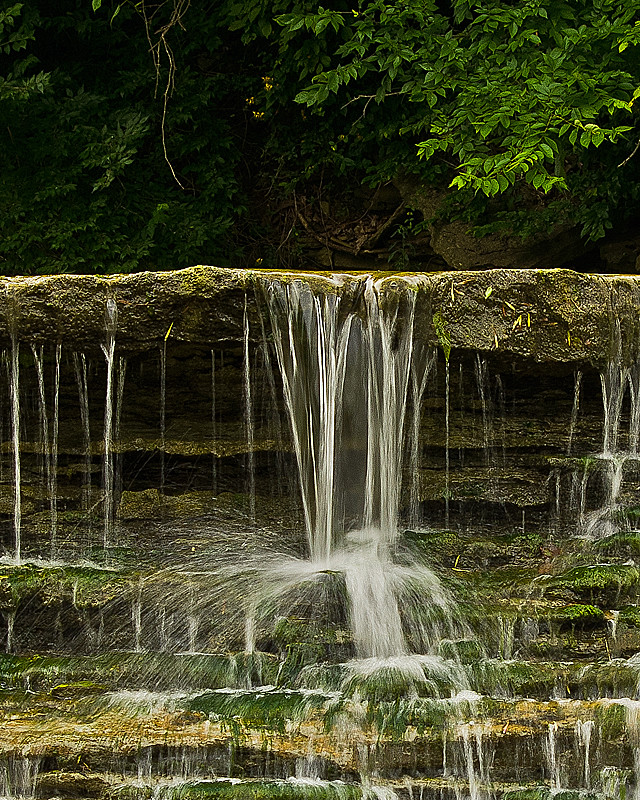
Small detail of Silver Falls
Kentucky River

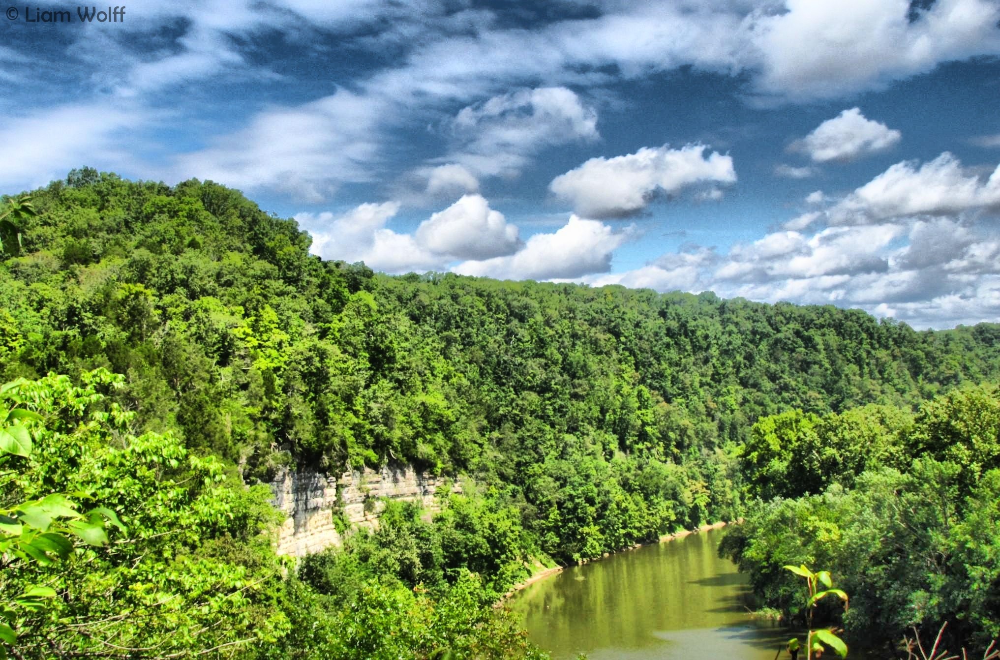
Kentucky River Palisades
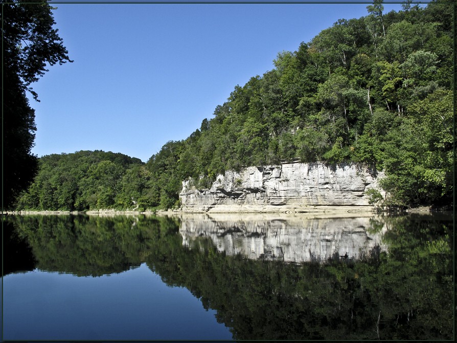
The Palisades on the Kentucky River

Middle Cascade on Silver Creek.

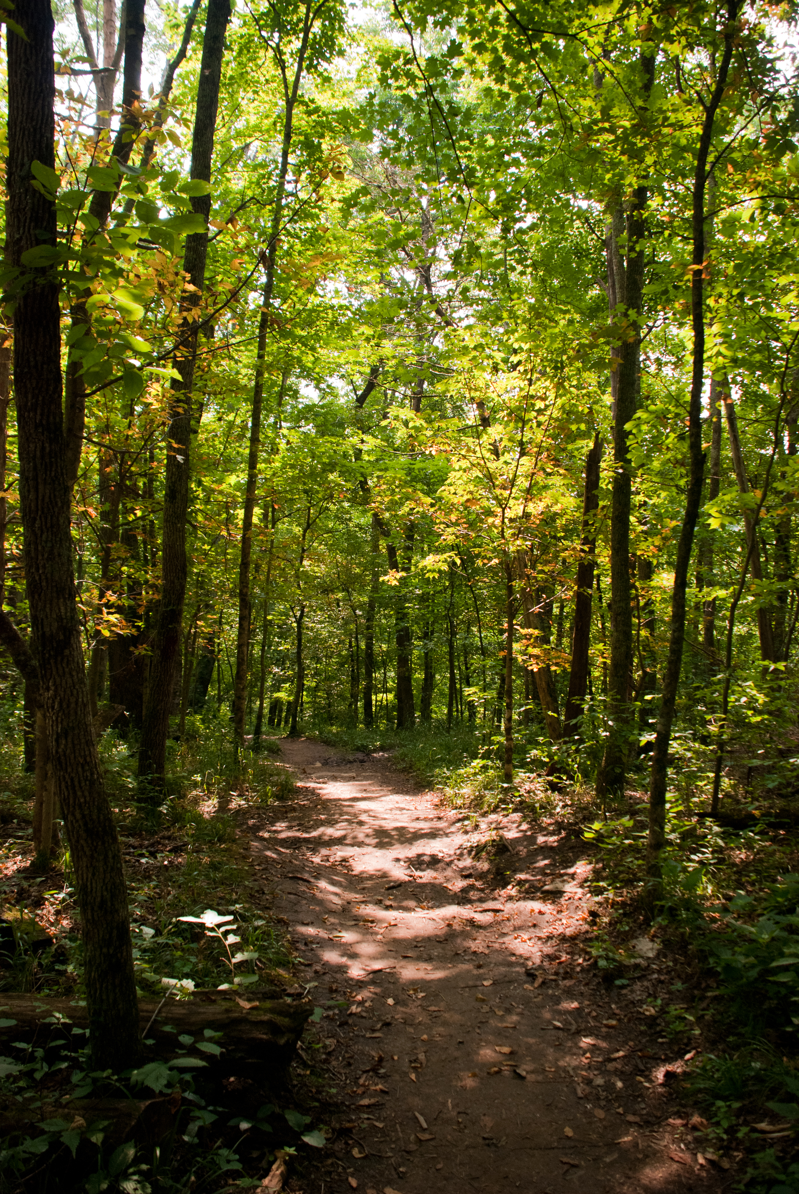
Pioneer Forage Trail-9137
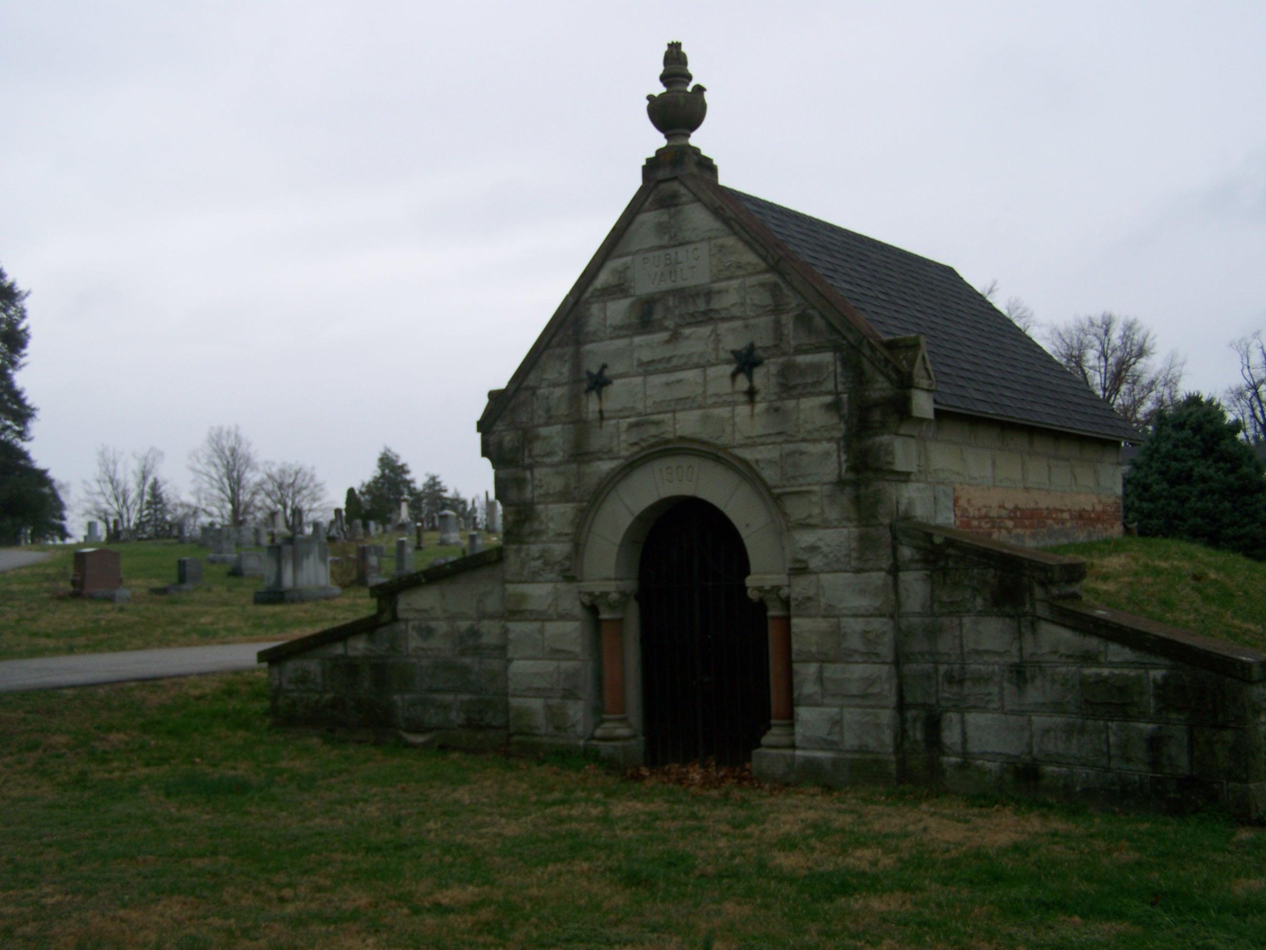
Richmond Cemetery- Richmond KY (1)
Valley View Ferry

Richmond Cemetery- Richmond KY (2)
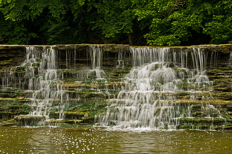
Silver Creek Falls

powell building, EKU campus

Silver Creek falls 1
Raven Run 7/2/11
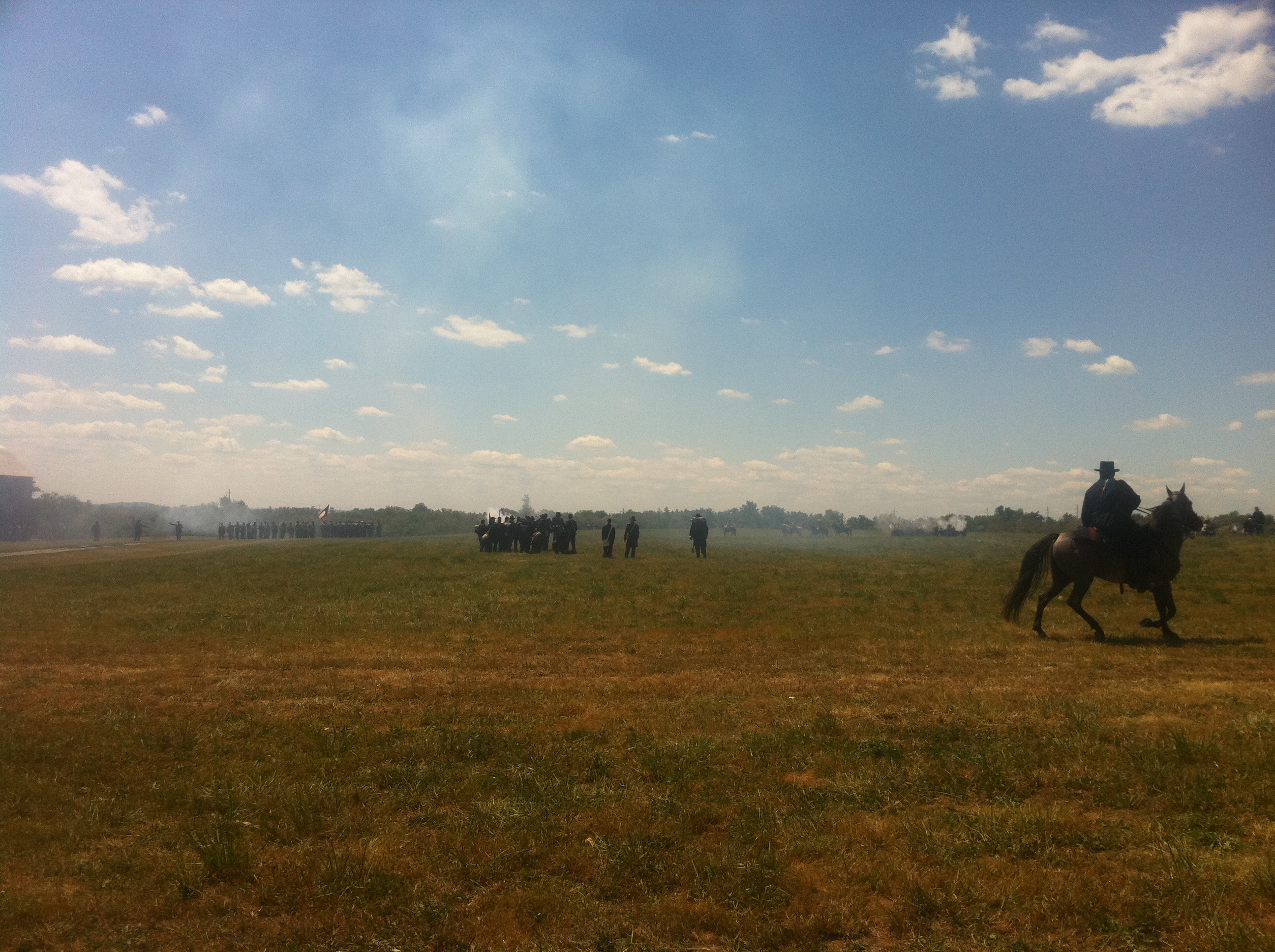
Surveying the battle

IMG_4476 copy
Raven Run 7/2/11
Raven Run 7/2/11
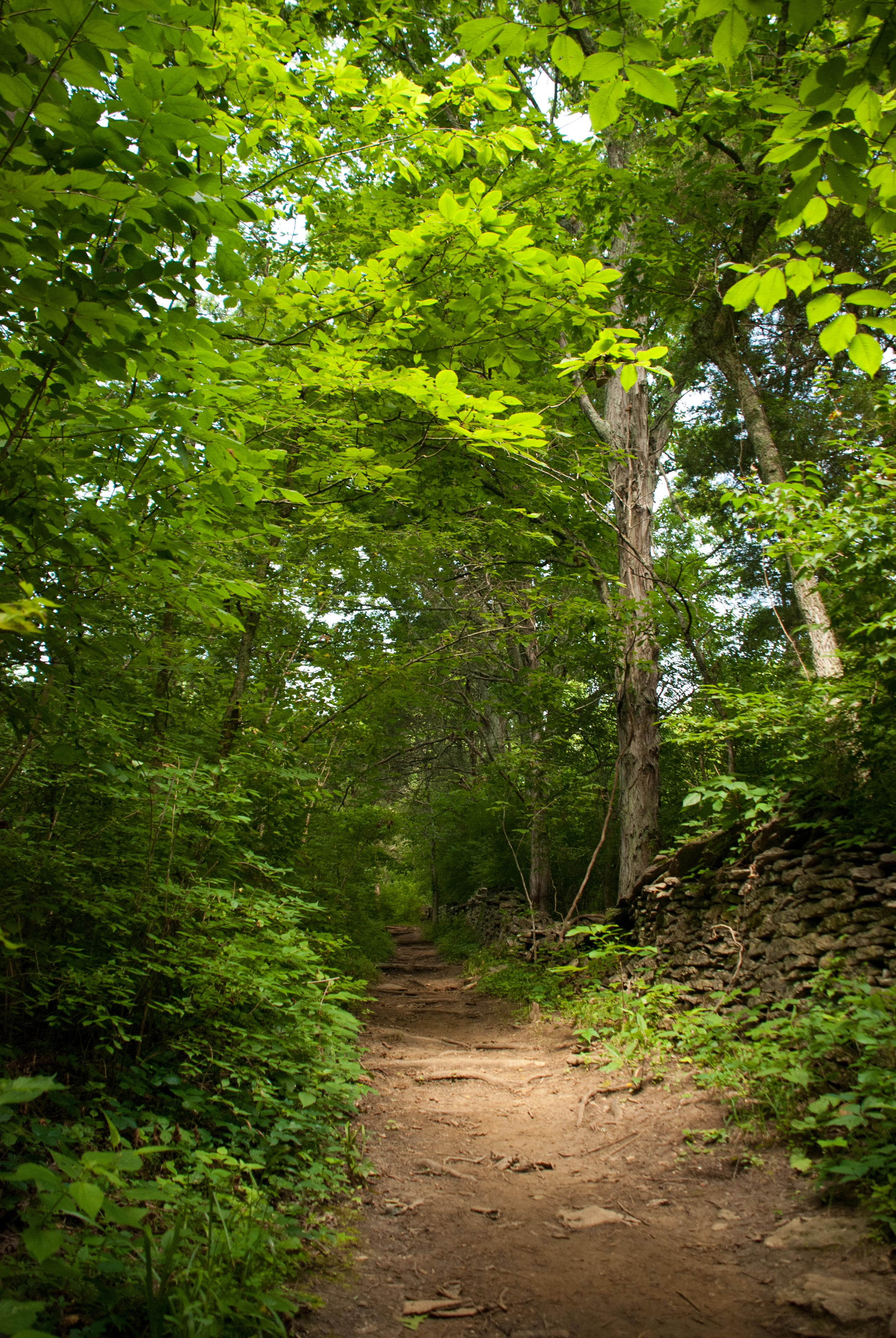
Raven Run 7/2/11
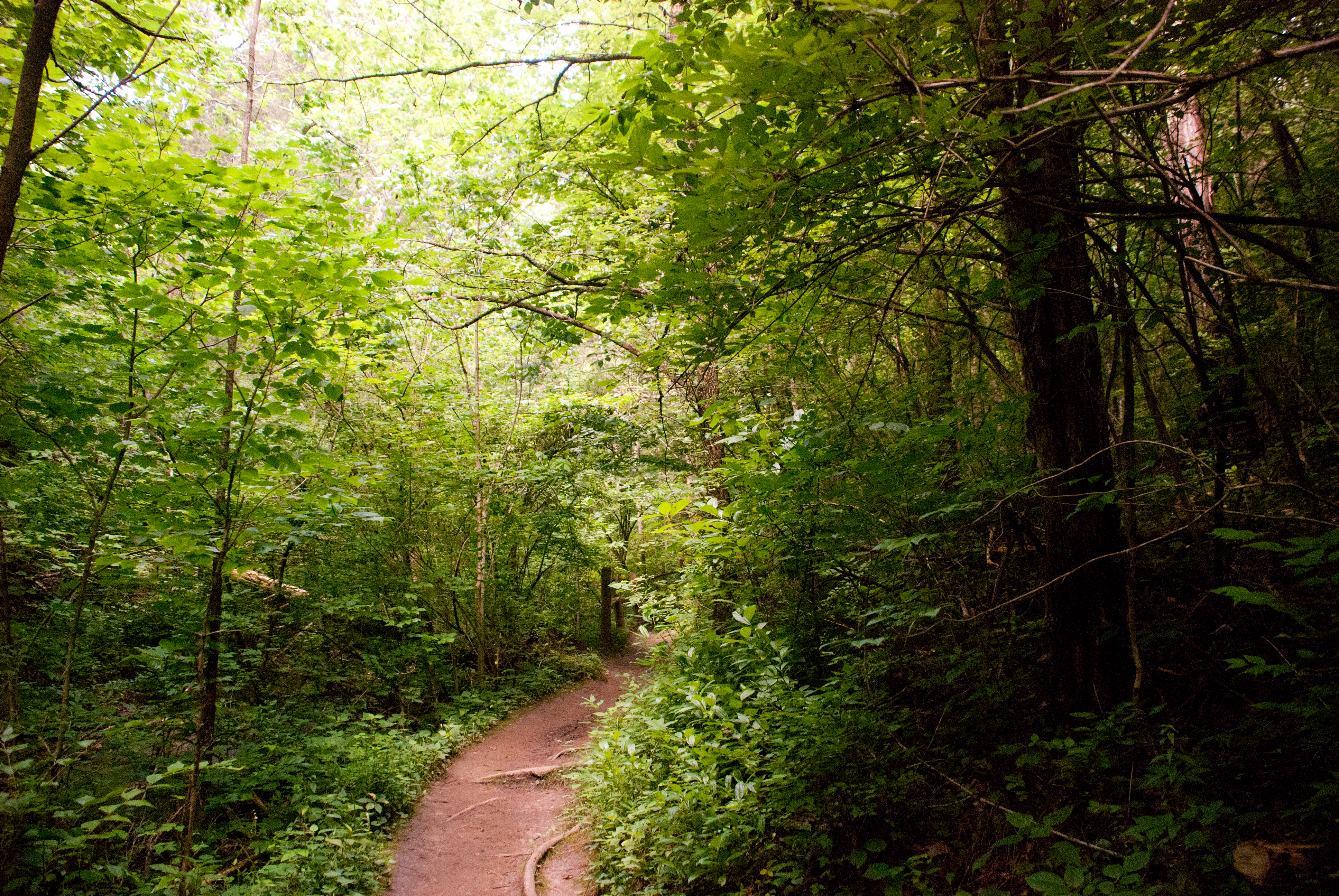
Raven Run 7/2/11
Kentucky-9158
Topographic Map of Dee Dee Dr, Richmond, KY, USA
Find elevation by address:

Places near Dee Dee Dr, Richmond, KY, USA:
Richmond
100 Ky-52
221 N Estill Ave
113 Longview Dr
107 Longview Dr
Eastern Kentucky University
725 Marietha Dr
The Castle Jewelry And Pawn Of Richmond
512 Martin Dr
1105 Kim Kent Dr
801 Eastern Bypass
225 Park Lakes Dr
Punkin Run Road
Madison County
Lancaster Rd, Richmond, KY, USA
103 General Cleburne Dr
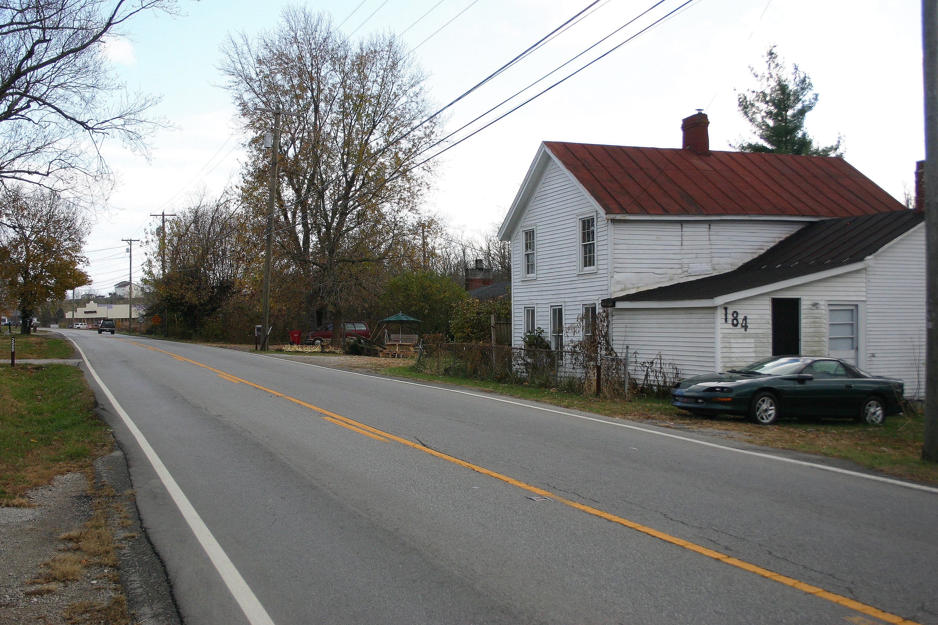
184 General Cleburne Dr
Meadowbrook Rd, Richmond, KY, USA
1005 Isaac Dr
Irvine Rd, Richmond, KY, USA
Recent Searches:
- Elevation of 30 Oak Lawn Dr, Barkhamsted, CT, USA
- Elevation of Luther Road, Luther Rd, Auburn, CA, USA
- Elevation of Unnamed Road, Respublika Severnaya Osetiya — Alaniya, Russia
- Elevation of Verkhny Fiagdon, North Ossetia–Alania Republic, Russia
- Elevation of F. Viola Hiway, San Rafael, Bulacan, Philippines
- Elevation of Herbage Dr, Gulfport, MS, USA
- Elevation of Lilac Cir, Haldimand, ON N3W 2G9, Canada
- Elevation of Harrod Branch Road, Harrod Branch Rd, Kentucky, USA
- Elevation of Wyndham Grand Barbados Sam Lords Castle All Inclusive Resort, End of Belair Road, Long Bay, Bridgetown Barbados
- Elevation of Iga Trl, Maggie Valley, NC, USA