Elevation map of M'Sila Province, Algeria
Location: Algeria >
Longitude: 4.2333355
Latitude: 35.316633
Elevation: 459m / 1506feet
Barometric Pressure: 96KPa
Elevation Map:
Satellite Map:
Related Photos:

travelling to Bou Saada

Bousaada - بوسعادة

Mosquée Abdellah ibn Messaoud (Bousaada)

Bou Saâda
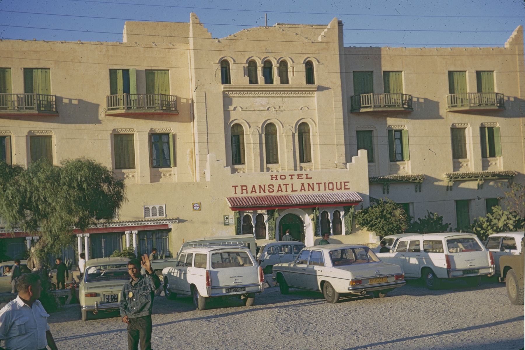
Bou Saâda (Algérie) Hotel Transatlantique

Bou Saâda (Algérie) Hotel Transatlantique
Topographic Map of M'Sila Province, Algeria
Find elevation by address:

Places in M'Sila Province, Algeria:
Places near M'Sila Province, Algeria:
Recent Searches:
- Elevation of W Prive Cir, Delray Beach, FL, USA
- Elevation of S Layton Cir W, Layton, UT, USA
- Elevation of F36W+3M, Mussoorie, Uttarakhand, India
- Elevation of Fairland Ave, Fairhope, AL, USA
- Elevation of Sunset Dr, Richmond, VA, USA
- Elevation of Grodna District, Hrodna Region, Belarus
- Elevation of Hrodna, Hrodna Region, Belarus
- Elevation of Sandia Derby Estates, Tijeras, NM, USA
- Elevation of 23 Sunrise View Ct, Tijeras, NM, USA
- Elevation of Lytham Ln, Katy, TX, USA