Elevation map of Bordj Bou Arréridj Province, Algeria
Location: Algeria >
Longitude: 4.645035
Latitude: 36.0864938
Elevation: 1040m / 3412feet
Barometric Pressure: 89KPa
Elevation Map:
Satellite Map:
Related Photos:

El machraa ...

High Voltage

_R20543ss3-1
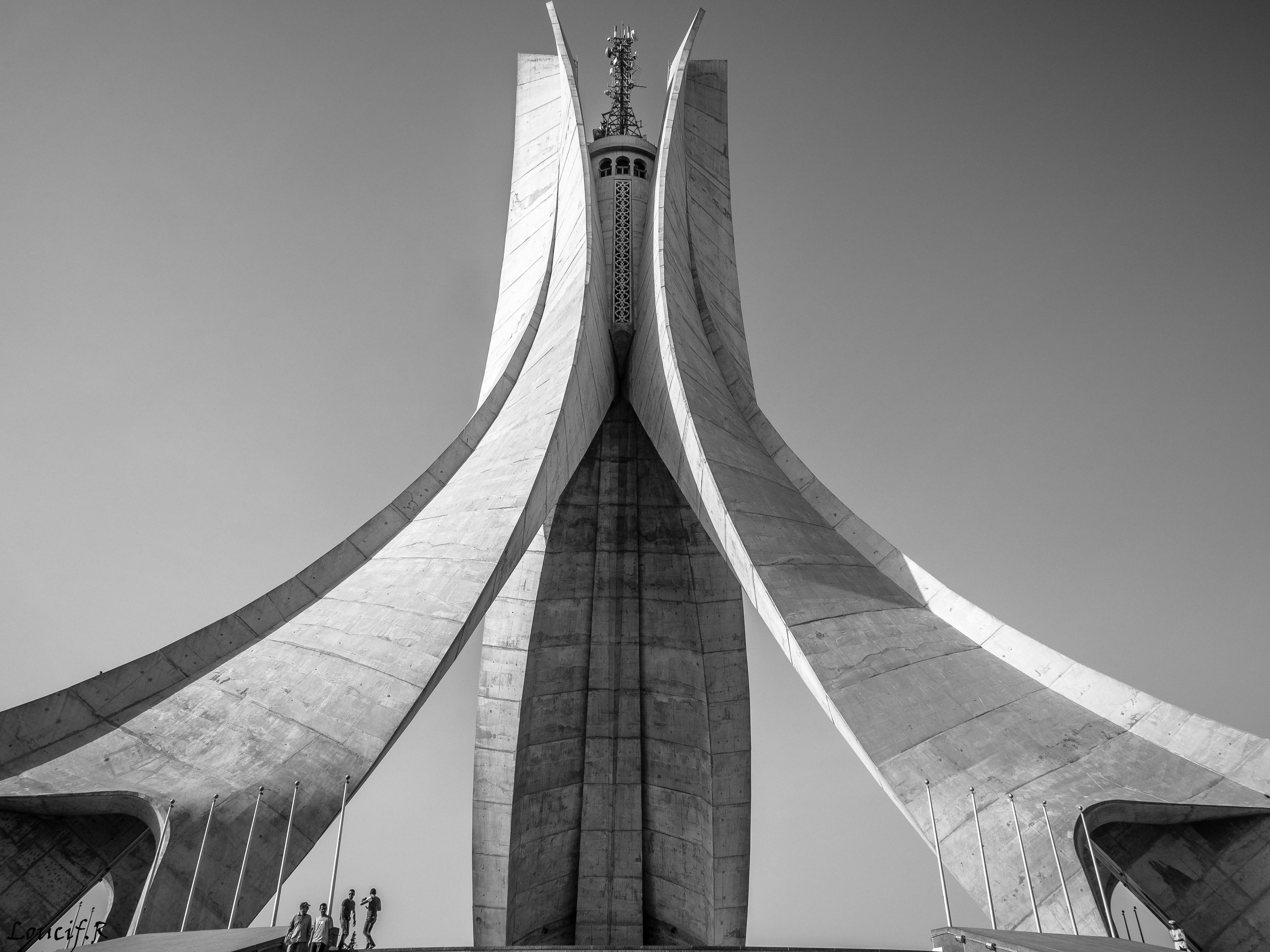
Le mémorial du Martyr

Kalaa Nath Abbas au sud de Bejaia

Parc Sans Vie

Le Djurdjura aux yeux de Mitsu

BBA's Snow II

Mont Tafertaste .. BBA

Welcome to Medjana

Tefreg Village.

alley of Tefreg
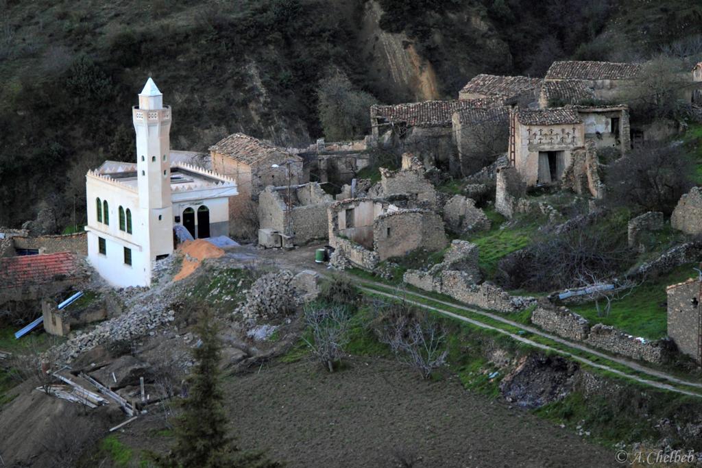
The ghost village.
Topographic Map of Bordj Bou Arréridj Province, Algeria
Find elevation by address:

Places in Bordj Bou Arréridj Province, Algeria:
Places near Bordj Bou Arréridj Province, Algeria:
Recent Searches:
- Elevation of Panther Dr, Maggie Valley, NC, USA
- Elevation of Jais St - Wadi Shehah - Ras al Khaimah - United Arab Emirates
- Elevation of Shawnee Avenue, Shawnee Ave, Easton, PA, USA
- Elevation of Scenic Shore Dr, Kingwood Area, TX, USA
- Elevation of W Prive Cir, Delray Beach, FL, USA
- Elevation of S Layton Cir W, Layton, UT, USA
- Elevation of F36W+3M, Mussoorie, Uttarakhand, India
- Elevation of Fairland Ave, Fairhope, AL, USA
- Elevation of Sunset Dr, Richmond, VA, USA
- Elevation of Grodna District, Hrodna Region, Belarus