Elevation of Lucknow, ON N0G, Canada
Location: Canada > Ontario > Bruce County > Huron-kinloss >
Longitude: -81.5130095
Latitude: 43.9633993
Elevation: 270m / 886feet
Barometric Pressure: 0KPa
Related Photos:
Biking the Backroads ~ HFF
Coming into View
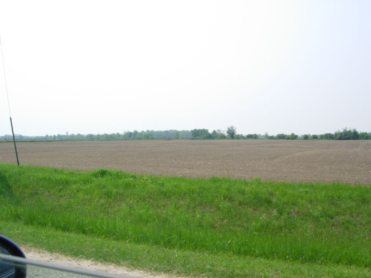
The house in the country
Video Camera Grab
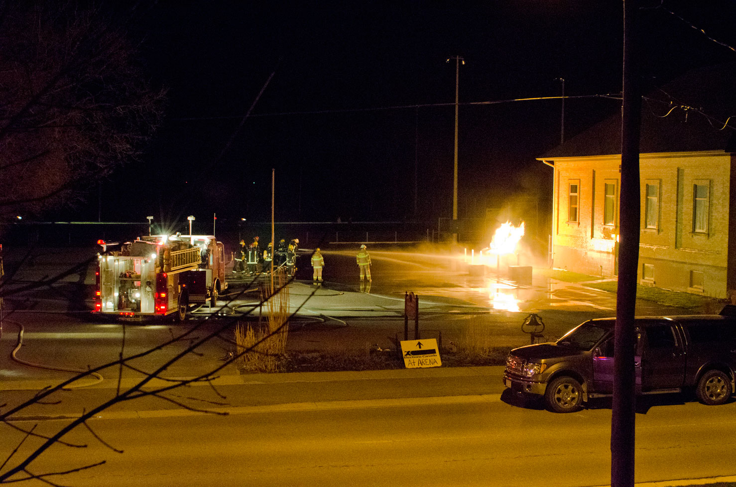
Huron-Kinloss Twp. Arson Fire
The house in the country
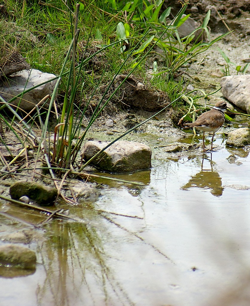
Run-off
20150618-_E1A2764.jpg
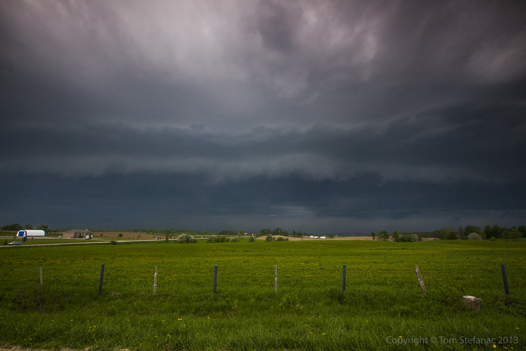
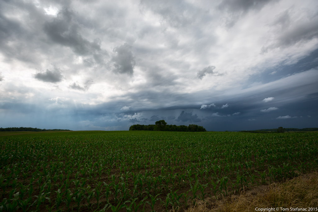
Gust Front Coming!
Early Evening
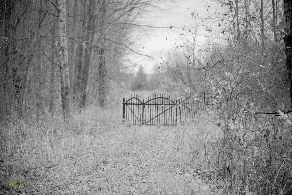
The Gate
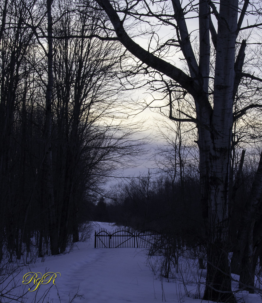
The Gate

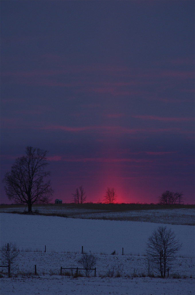
Day 11: Winter sky in the morning
Out, standing in the field
203/365+1
Sheep 1
Pond in Winter
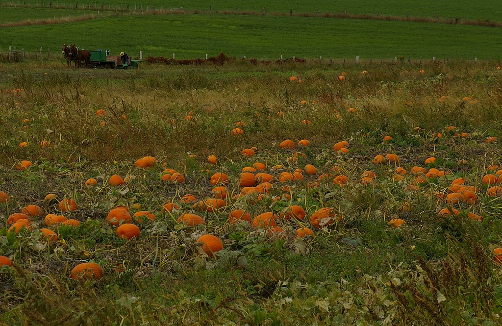
Pumpkin Field
Reflections 3

Welcome!
Ripley 018
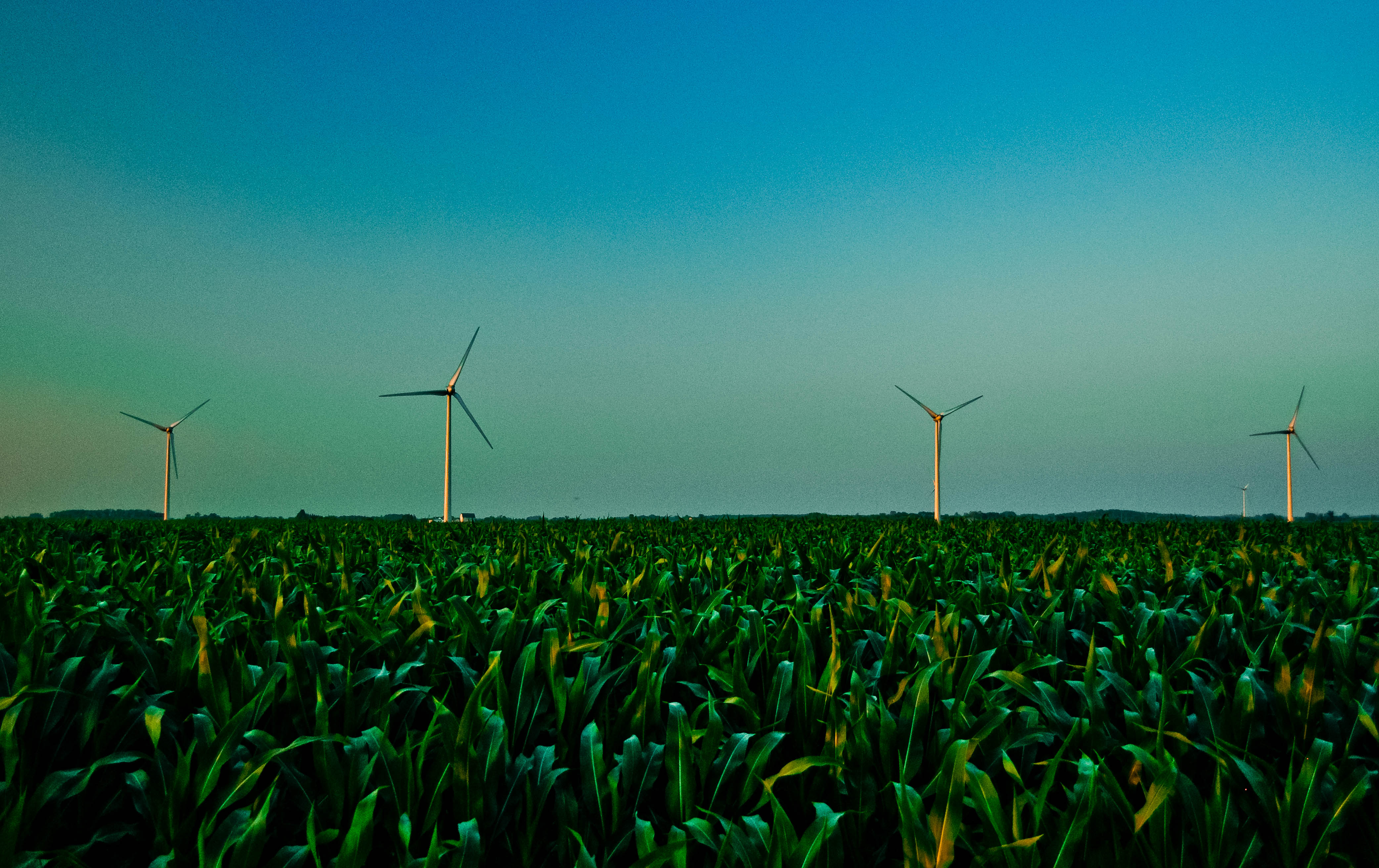
Kincardine Windfarm & cornfield

Heine farm
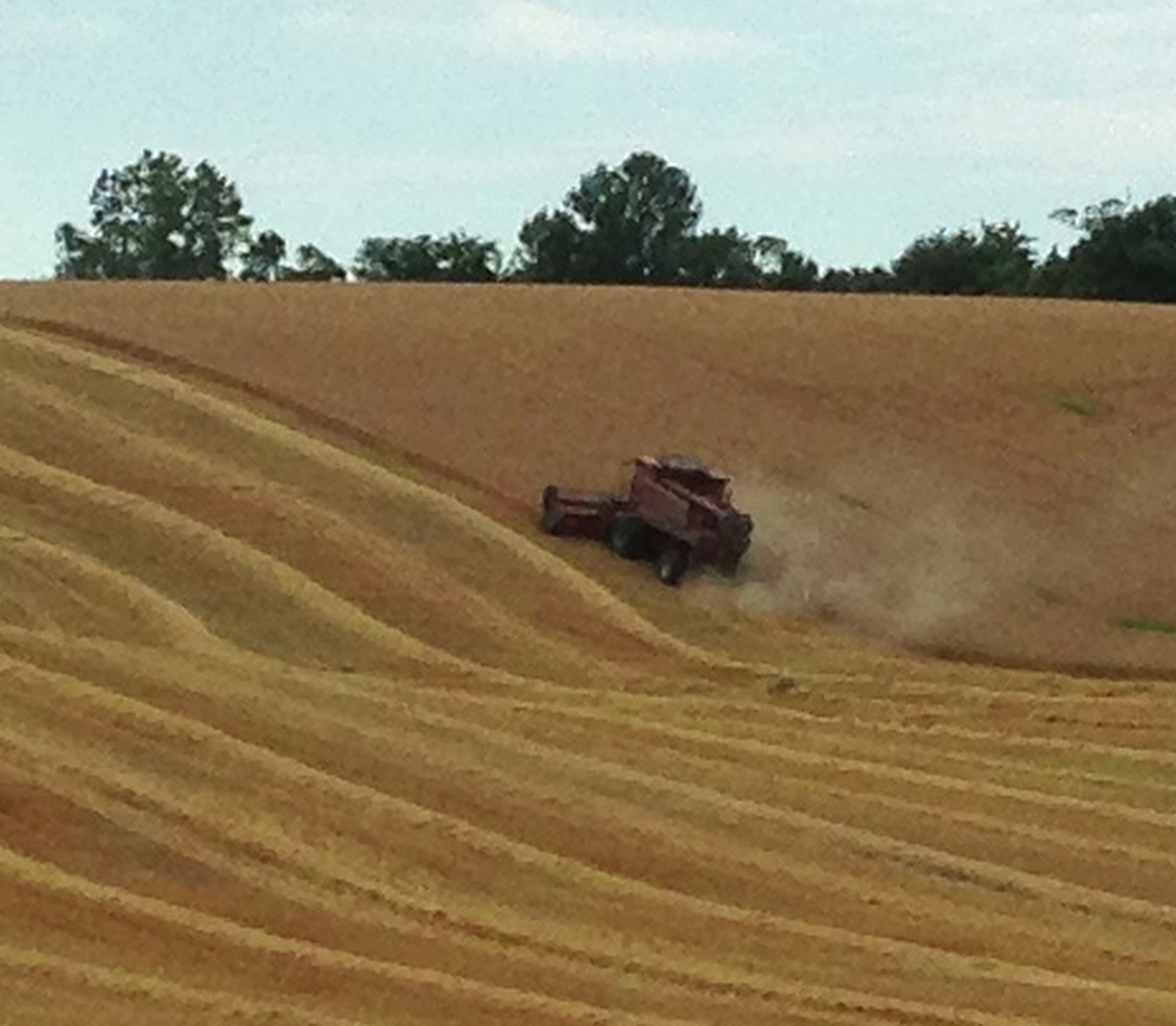
Day 207: Are combines meant to be perpendicular?
Topographic Map of Lucknow, ON N0G, Canada
Find elevation by address:

Places in Lucknow, ON N0G, Canada:
Places near Lucknow, ON N0G, Canada:
Holyrood
Langside St, Lucknow, ON N0G 2H0, Canada
Huron-kinloss
Donnybrook Line, Lucknow, ON N0G 2H0, Canada
6 Whitechurch St, Wingham, ON N0G 2W0, Canada
Glens Hill Rd, Auburn, ON N0M 1E0, Canada
4500 On-9
North Huron
Marnoch Line, Belgrave, ON N0G 1E0, Canada
Auburn
39901 Huron County Rd 86
39901 Huron County Rd 86
39901 Huron County Rd 86
83343 Scott Line
Brandon Road
19 Brandon Rd
ON-9, Brockton, ON N0G, Canada
Wingham
270 Carling Terrace
Teeswater
Recent Searches:
- Elevation of Sullivan Hill, New York, New York, 10002, USA
- Elevation of Morehead Road, Withrow Downs, Charlotte, Mecklenburg County, North Carolina, 28262, USA
- Elevation of 2800, Morehead Road, Withrow Downs, Charlotte, Mecklenburg County, North Carolina, 28262, USA
- Elevation of Yangbi Yi Autonomous County, Yunnan, China
- Elevation of Pingpo, Yangbi Yi Autonomous County, Yunnan, China
- Elevation of Mount Malong, Pingpo, Yangbi Yi Autonomous County, Yunnan, China
- Elevation map of Yongping County, Yunnan, China
- Elevation of North 8th Street, Palatka, Putnam County, Florida, 32177, USA
- Elevation of 107, Big Apple Road, East Palatka, Putnam County, Florida, 32131, USA
- Elevation of Jiezi, Chongzhou City, Sichuan, China
- Elevation of Chongzhou City, Sichuan, China
- Elevation of Huaiyuan, Chongzhou City, Sichuan, China
- Elevation of Qingxia, Chengdu, Sichuan, China
- Elevation of Corso Fratelli Cairoli, 35, Macerata MC, Italy
- Elevation of Tallevast Rd, Sarasota, FL, USA
- Elevation of 4th St E, Sonoma, CA, USA
- Elevation of Black Hollow Rd, Pennsdale, PA, USA
- Elevation of Oakland Ave, Williamsport, PA, USA
- Elevation of Pedrógão Grande, Portugal
- Elevation of Klee Dr, Martinsburg, WV, USA