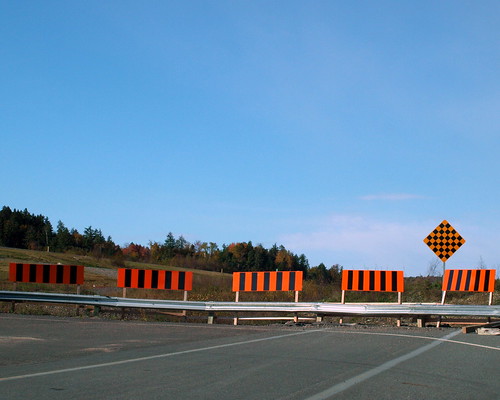
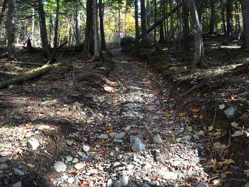
Elevation of Lower Shogomoc Road, Lower Shogomoc Rd, Canterbury, NB, Canada
Location: Canada > New Brunswick > York County >
Longitude: -67.315368
Latitude: 45.955392
Elevation: 80m / 262feet
Barometric Pressure: 100KPa
Related Photos:
Topographic Map of Lower Shogomoc Road, Lower Shogomoc Rd, Canterbury, NB, Canada
Find elevation by address:

Places near Lower Shogomoc Road, Lower Shogomoc Rd, Canterbury, NB, Canada:
1037 Nb-105
Campbell Settlement Road
Campbell Settlement Road
649 Otis Dr
143 Campbell Settlement Rd
Rossville
Nackawic
74 Landegger Dr, Nackawic, NB E6G 1G1, Canada
Southampton
NB-, Temperance Vale, NB E6G 2C5, Canada
Temperance Vale
E6g 2c7
Canterbury
E6g 1t2
136 Main St
Meductic
Queensbury
Upper Hainesville
3259 Nb-104
12 Ricker Hill Ln
Recent Searches:
- Elevation of Elwyn Dr, Roanoke Rapids, NC, USA
- Elevation of Congressional Dr, Stevensville, MD, USA
- Elevation of Bellview Rd, McLean, VA, USA
- Elevation of Stage Island Rd, Chatham, MA, USA
- Elevation of Shibuya Scramble Crossing, 21 Udagawacho, Shibuya City, Tokyo -, Japan
- Elevation of Jadagoniai, Kaunas District Municipality, Lithuania
- Elevation of Pagonija rock, Kranto 7-oji g. 8"N, Kaunas, Lithuania
- Elevation of Co Rd 87, Jamestown, CO, USA
- Elevation of Tenjo, Cundinamarca, Colombia
- Elevation of Côte-des-Neiges, Montreal, QC H4A 3J6, Canada
