Elevation of Queensbury, NB, Canada
Location: Canada > New Brunswick > York County >
Longitude: -67.117434
Latitude: 46.0182788
Elevation: 212m / 696feet
Barometric Pressure: 99KPa
Elevation Map:
Satellite Map:
Related Photos:

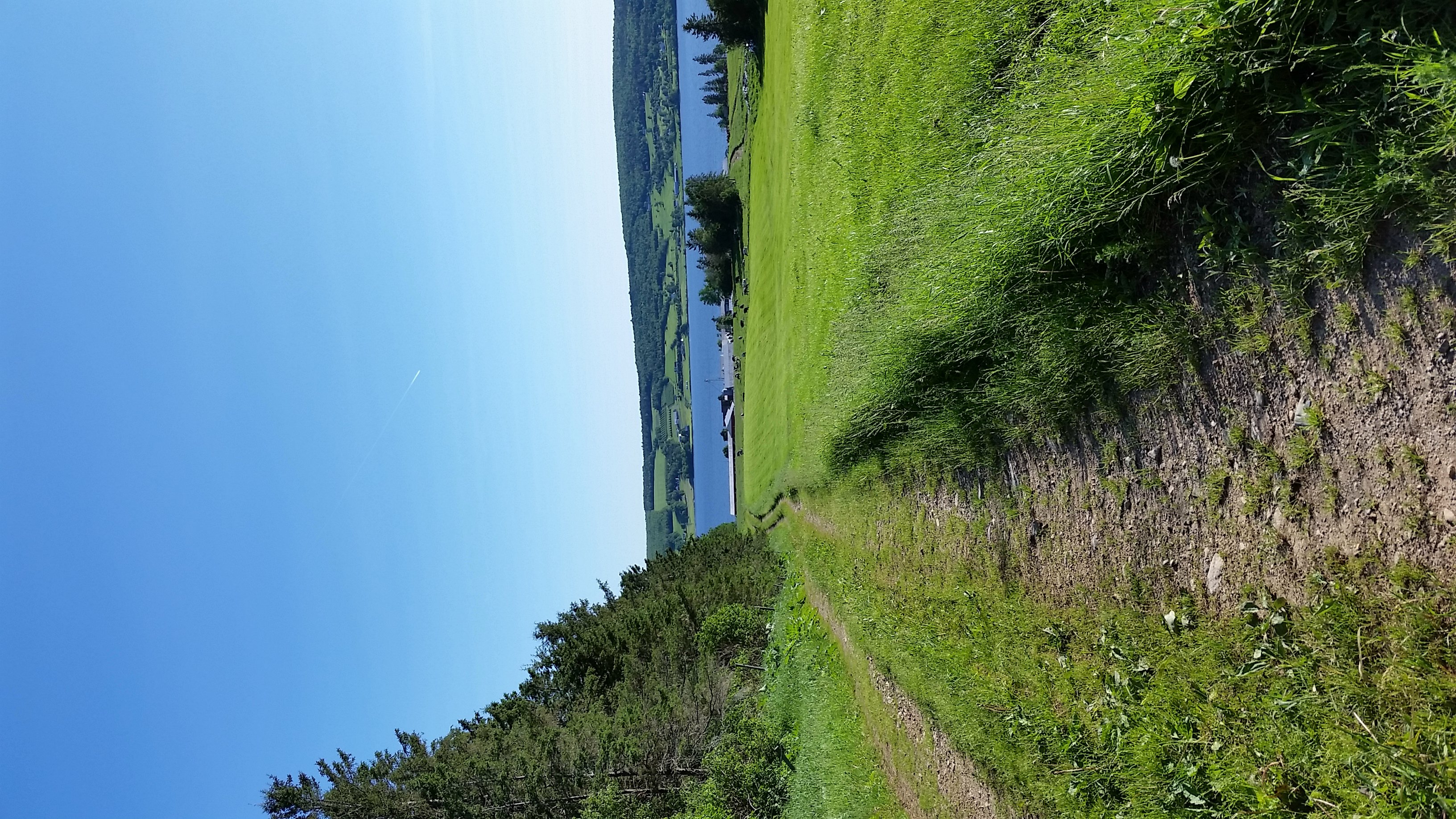
Trees Against the Sky

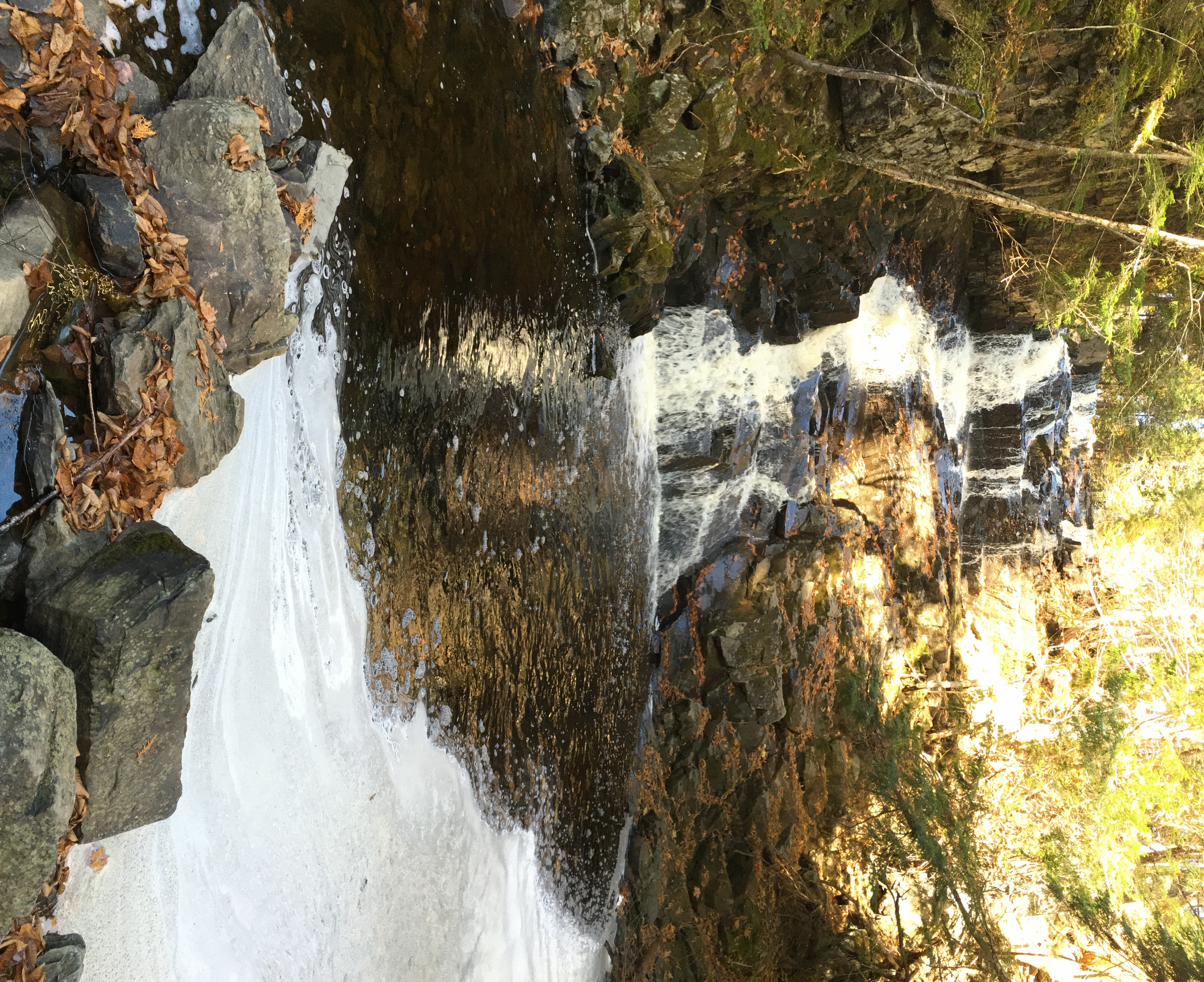
Coac Falls and Rocks
2015-10-21_08-09-33
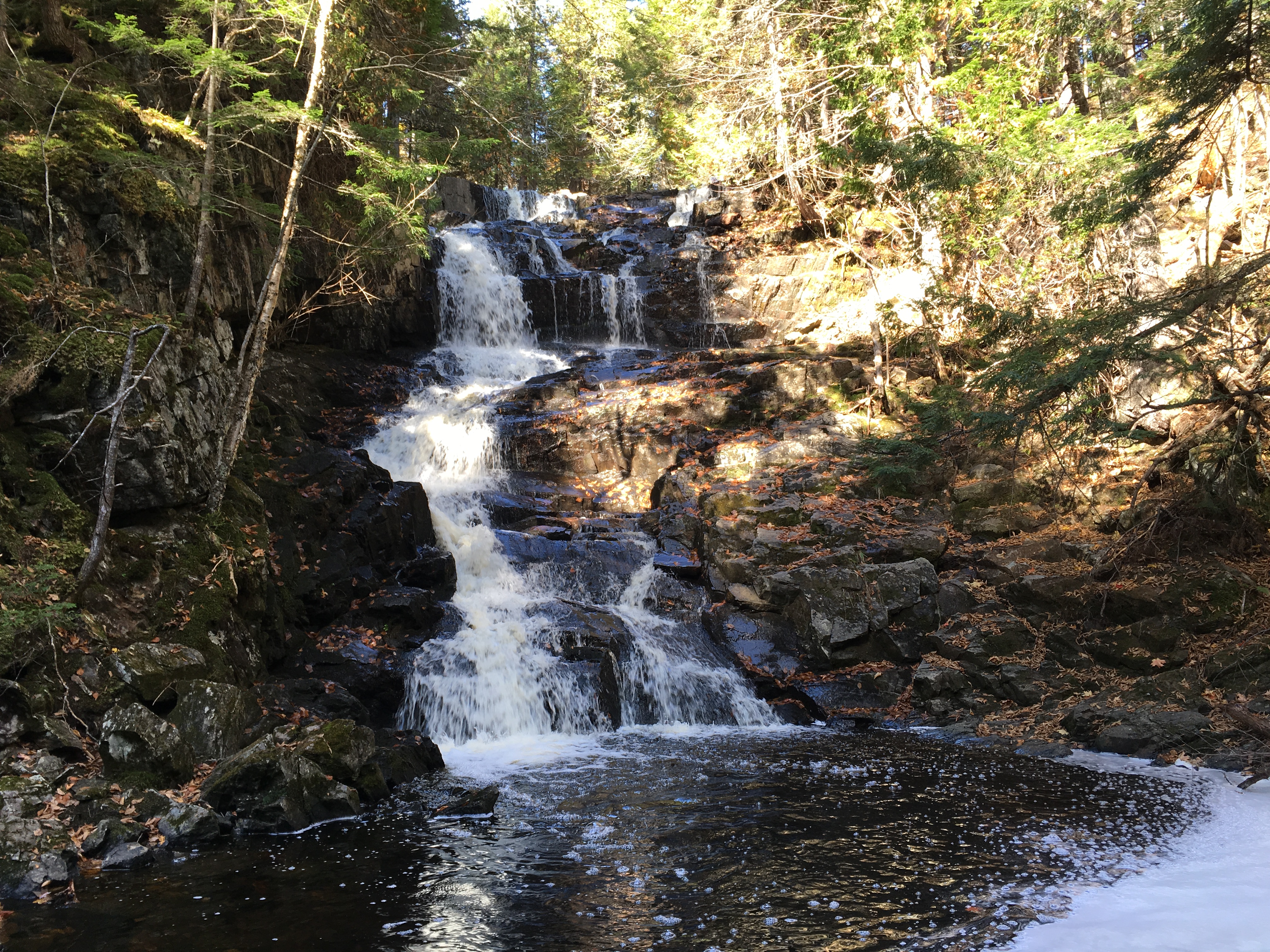
Coac Falls
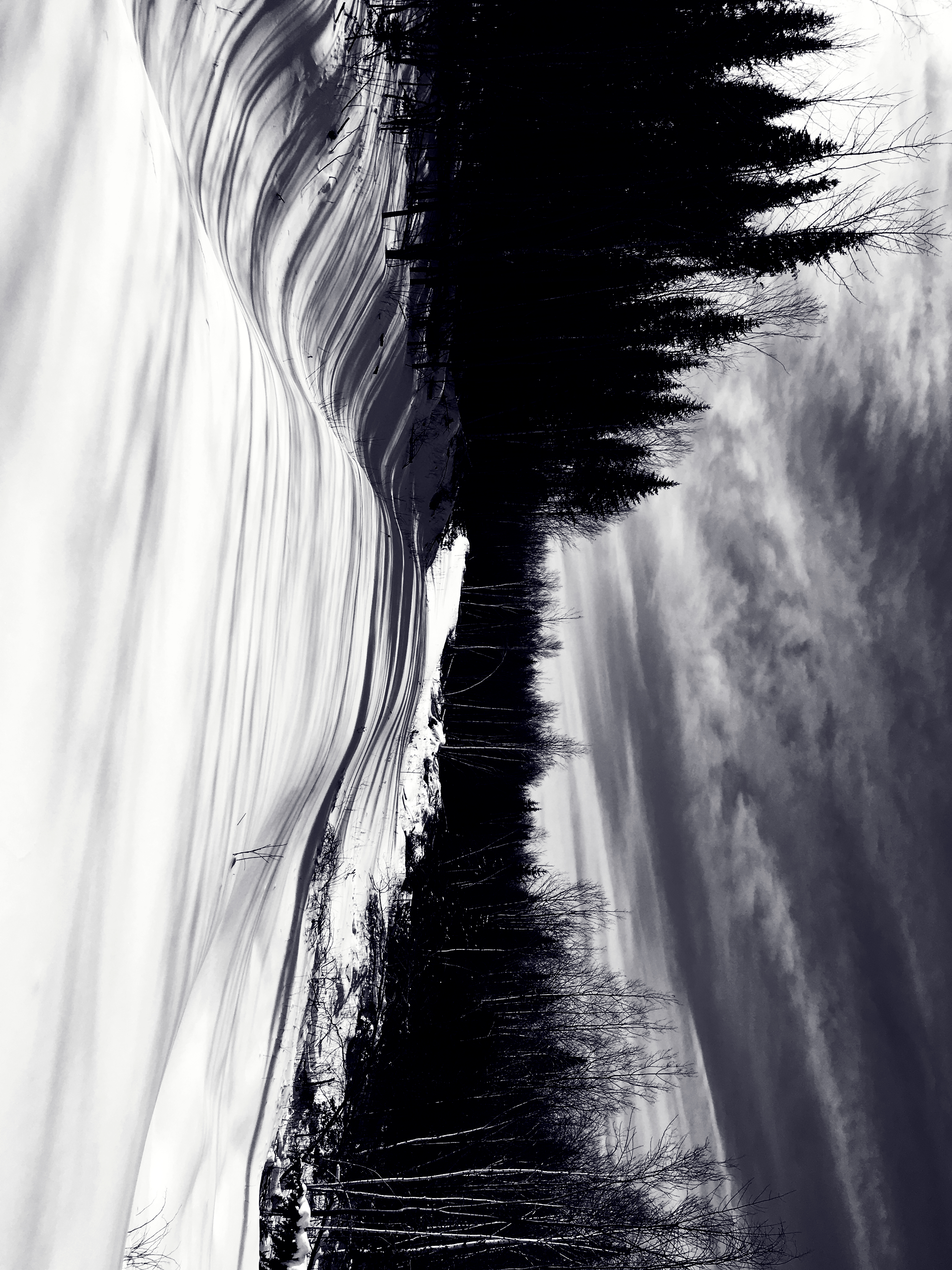
Snowy Trail

House and Snow
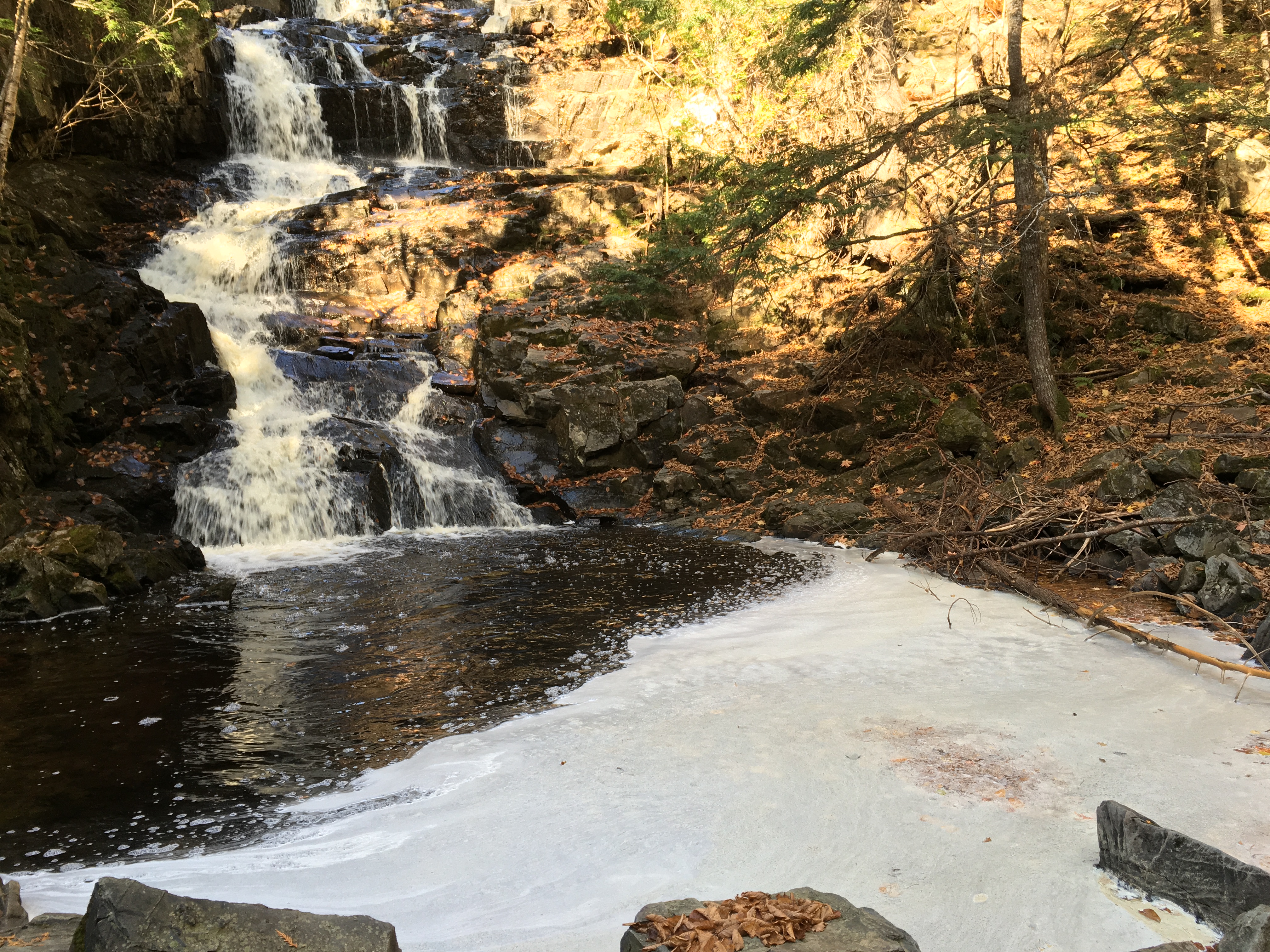
Coac Falls and Pond

Bridge 1090-02

Bridge 1090-04
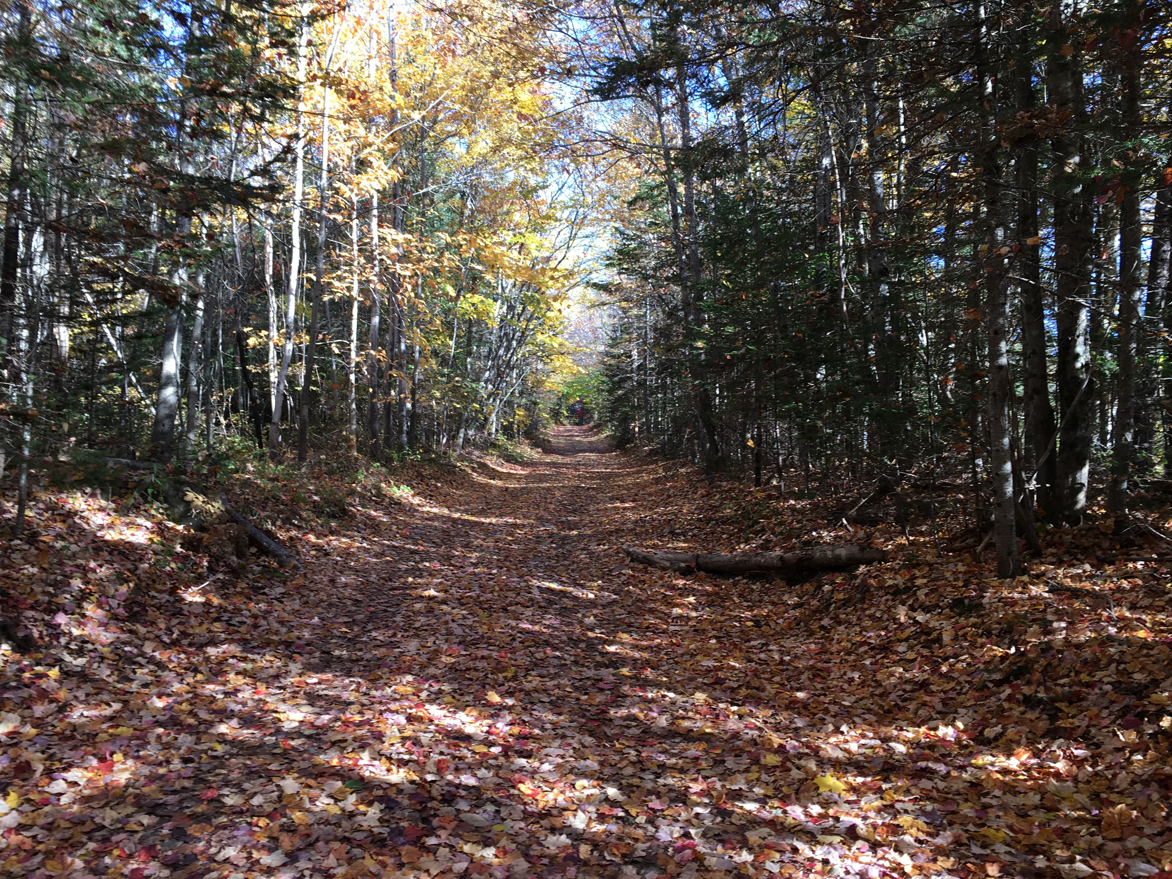
Road to Coac Falls

Bridge 1089-02

Bridge 1090-03
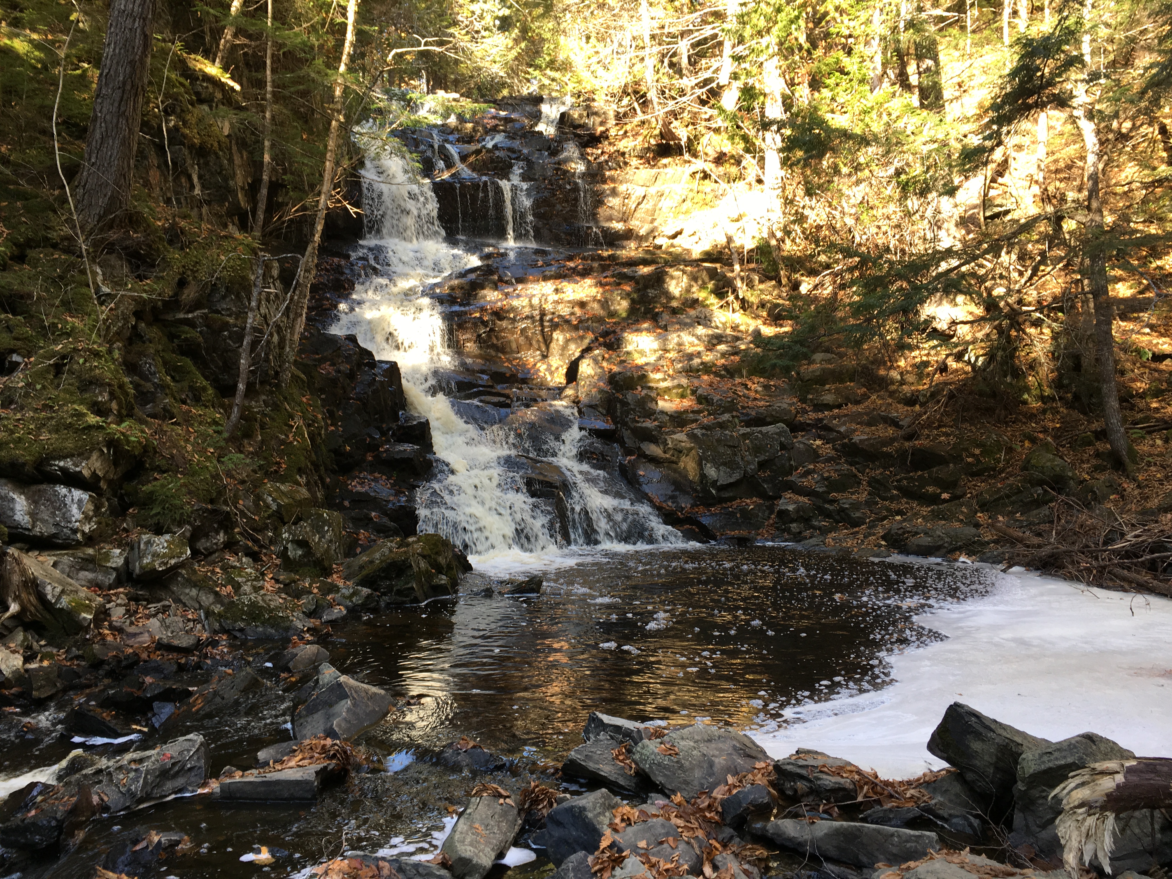
Coac Falls
Coac Falls and Pond

Coac Falls

Bridge 1089-03

Coac Falls Panorama

Bridge 1090-01

Broken Log and Coac Falls
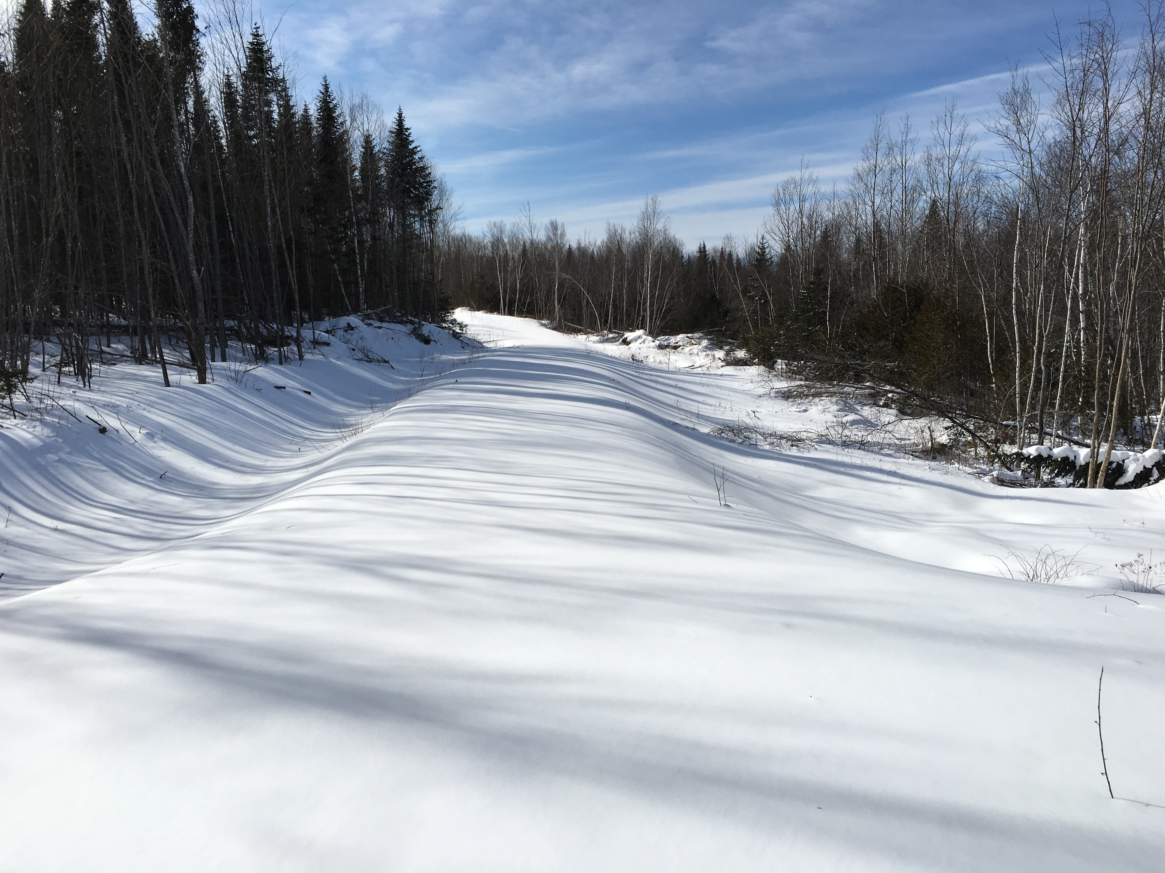
Snow on Road
Coac Falls Panorama
Topographic Map of Queensbury, NB, Canada
Find elevation by address:

Places in Queensbury, NB, Canada:
Places near Queensbury, NB, Canada:
Springfield
3259 Nb-104
Upper Hainesville
12 Ricker Hill Ln
E6g 1t2
1280 Nb-615
1280 Nb-615
1280 Nb-615
Central Hainesville
Crabbe Mountain Road
50 Crabbe Mountain Rd
NB-, Temperance Vale, NB E6G 2C5, Canada
E6g 2c7
74 Landegger Dr, Nackawic, NB E6G 1G1, Canada
Nackawic
Bright
Temperance Vale
649 Otis Dr
143 Campbell Settlement Rd
Rossville
Recent Searches:
- Elevation of Corso Fratelli Cairoli, 35, Macerata MC, Italy
- Elevation of Tallevast Rd, Sarasota, FL, USA
- Elevation of 4th St E, Sonoma, CA, USA
- Elevation of Black Hollow Rd, Pennsdale, PA, USA
- Elevation of Oakland Ave, Williamsport, PA, USA
- Elevation of Pedrógão Grande, Portugal
- Elevation of Klee Dr, Martinsburg, WV, USA
- Elevation of Via Roma, Pieranica CR, Italy
- Elevation of Tavkvetili Mountain, Georgia
- Elevation of Hartfords Bluff Cir, Mt Pleasant, SC, USA