Elevation of Lower Jordan Bay, NS B0T 1W0, Canada
Location: Canada > Nova Scotia > Shelburne County > Shelburne > Shelburne >
Longitude: -65.245165
Latitude: 43.682963
Elevation: 34m / 112feet
Barometric Pressure: 101KPa
Elevation Map:
Satellite Map:
Related Photos:
DSC01245 - Last view of Cape Roseway Lighthouse Station
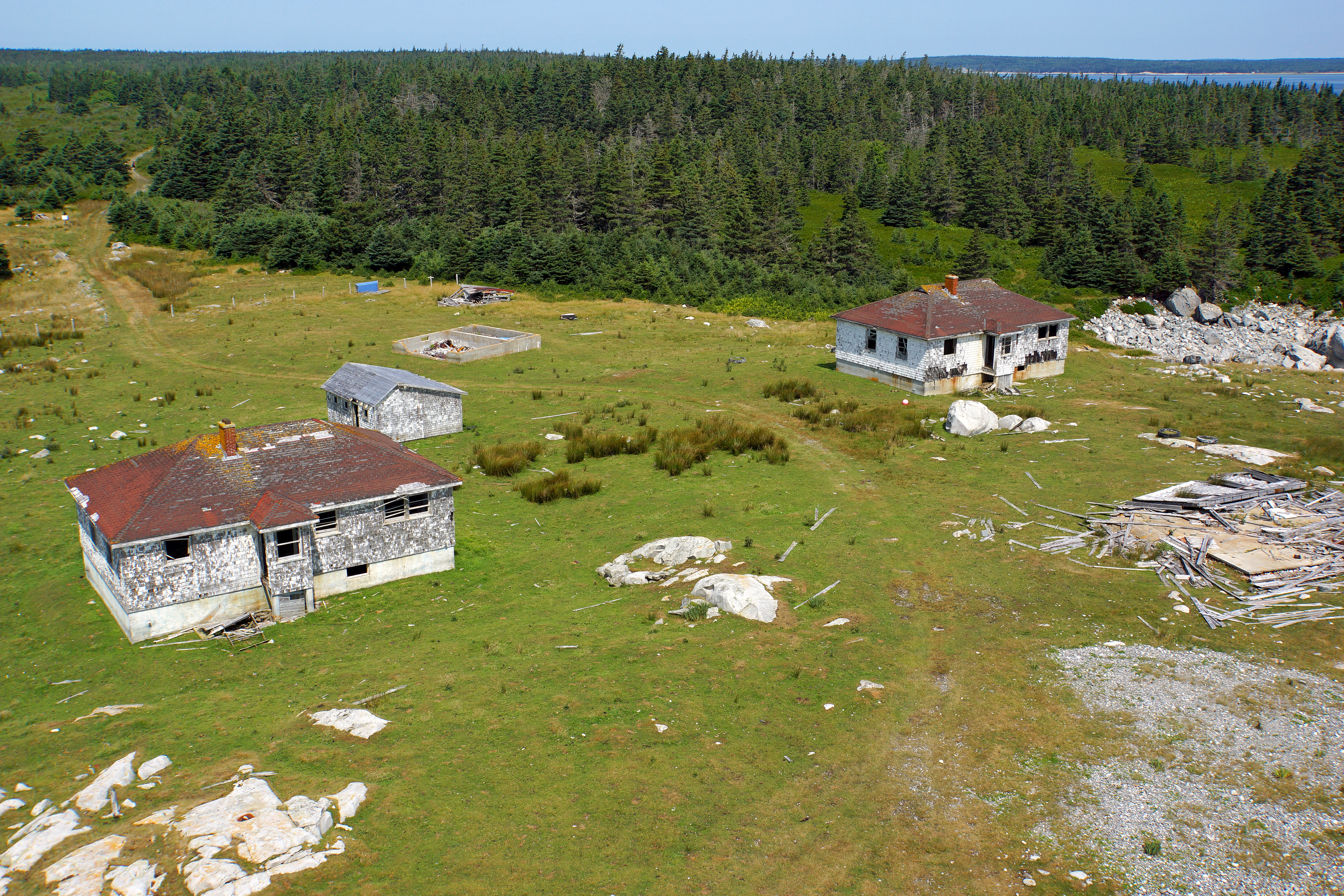
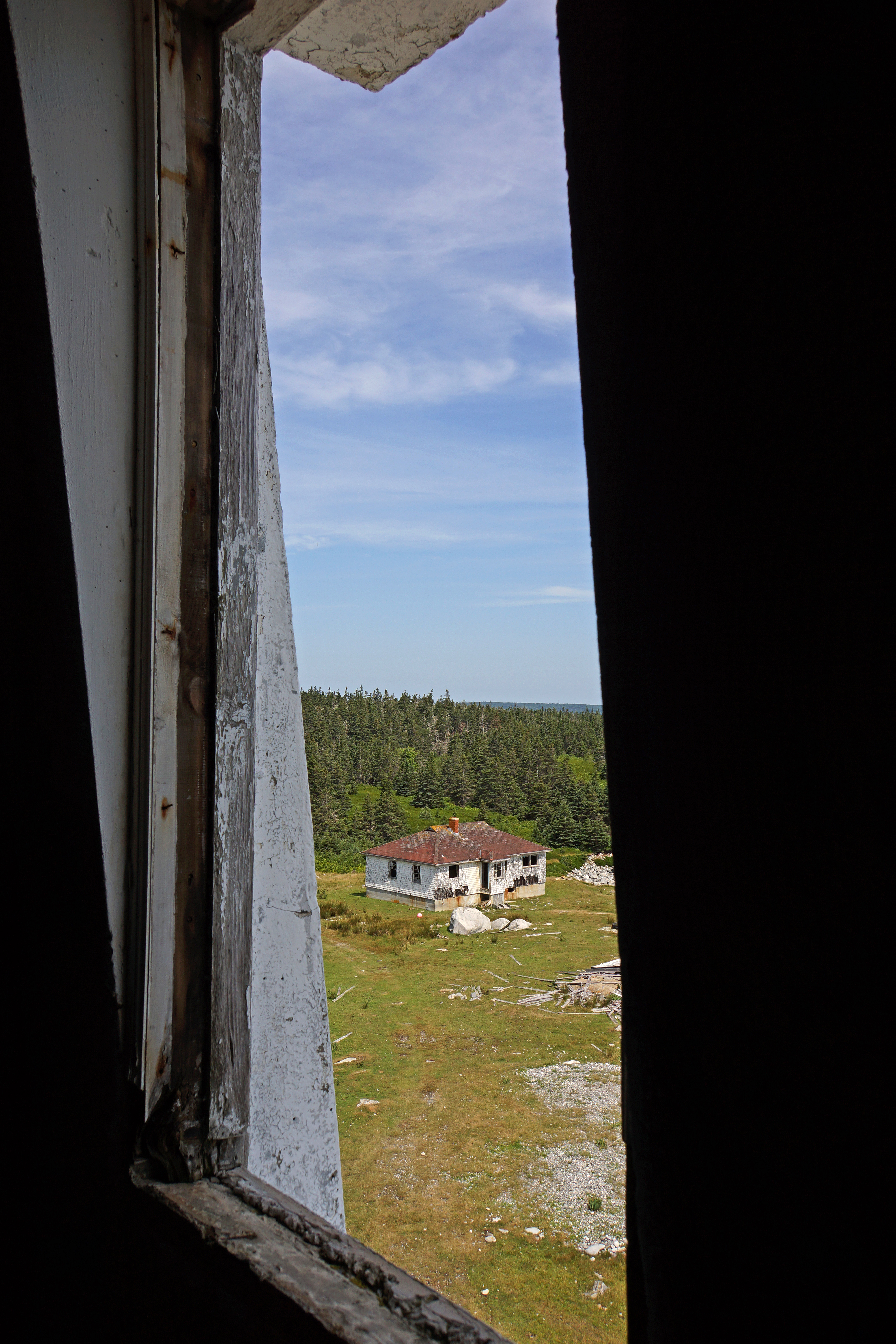
DSC01292 - Views from the Top
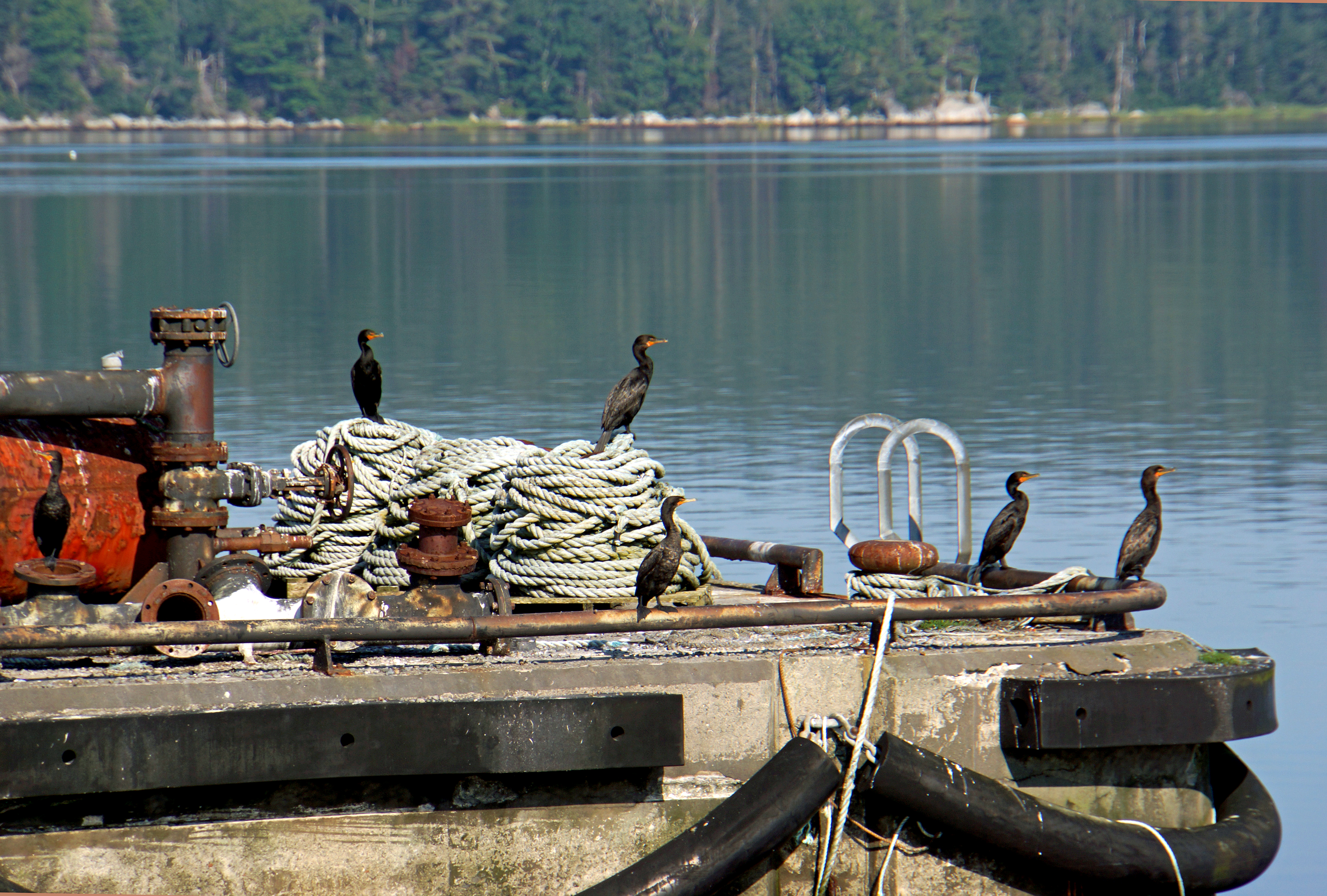
DSC01132 - Cormorants Enjoying the View
DSC01172 - Blow............
DSC01171 - Here comes the sun....
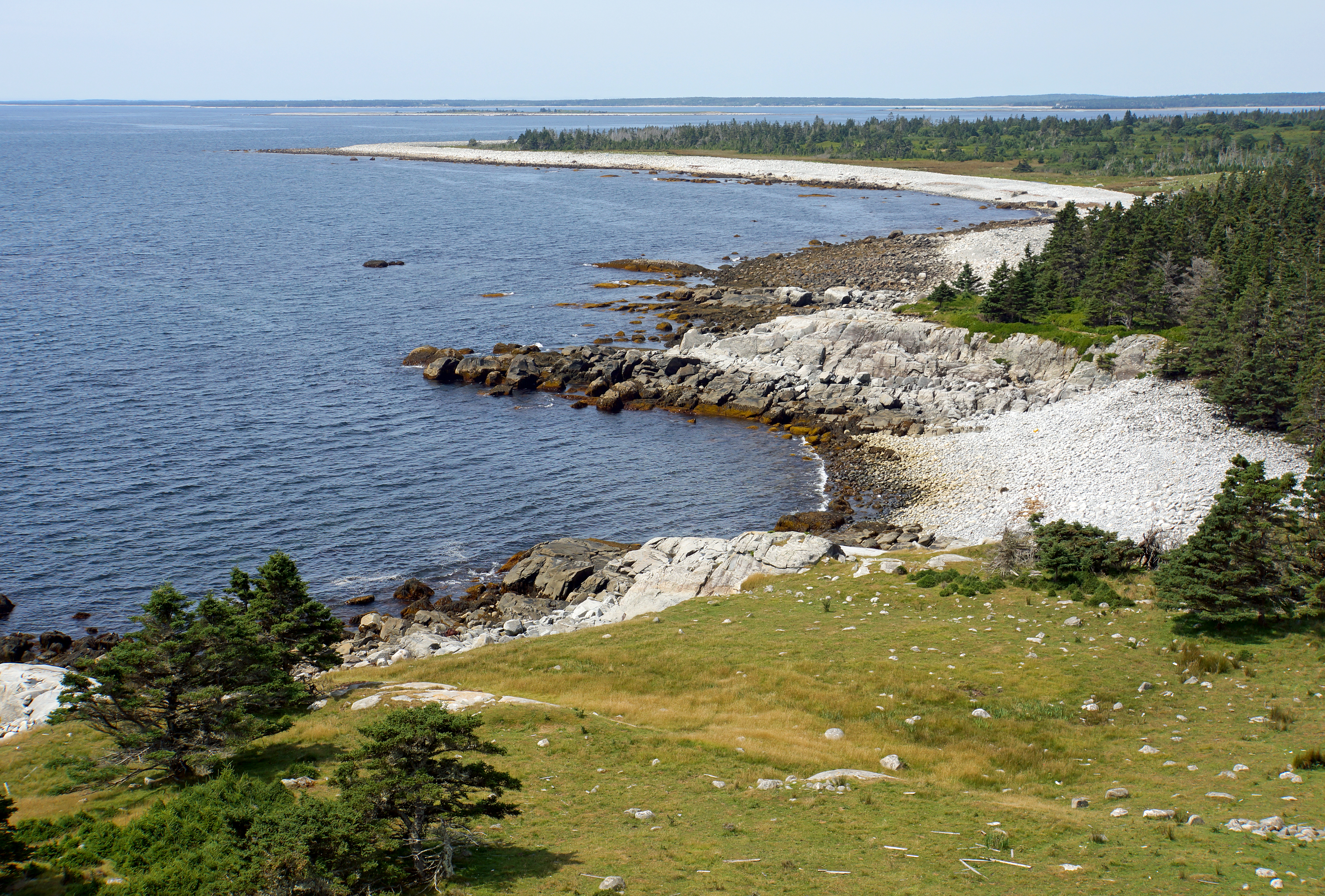
DSC01295 - Coastline of McNutt's Island

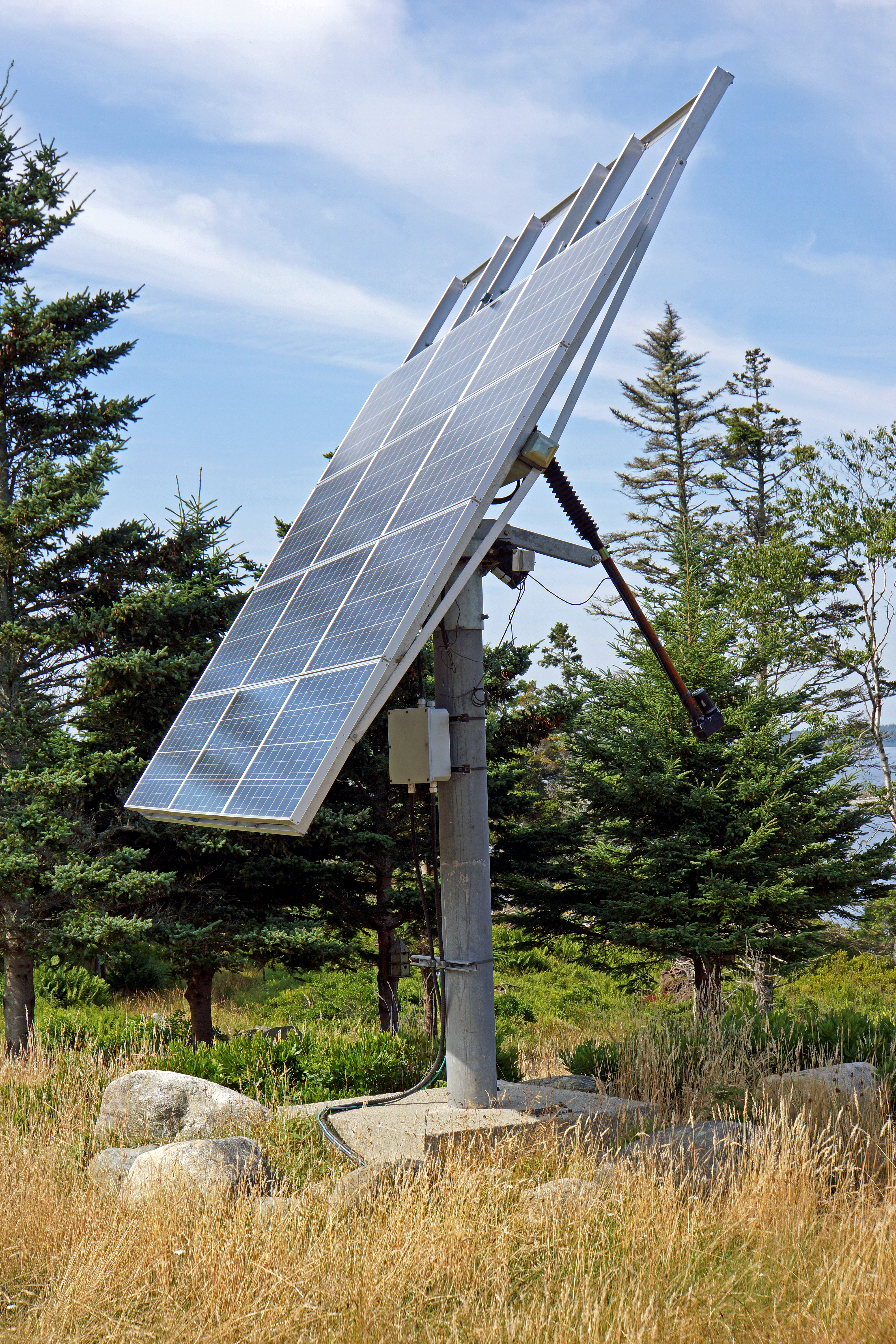
DSC01169 - New Jerusalem Farm
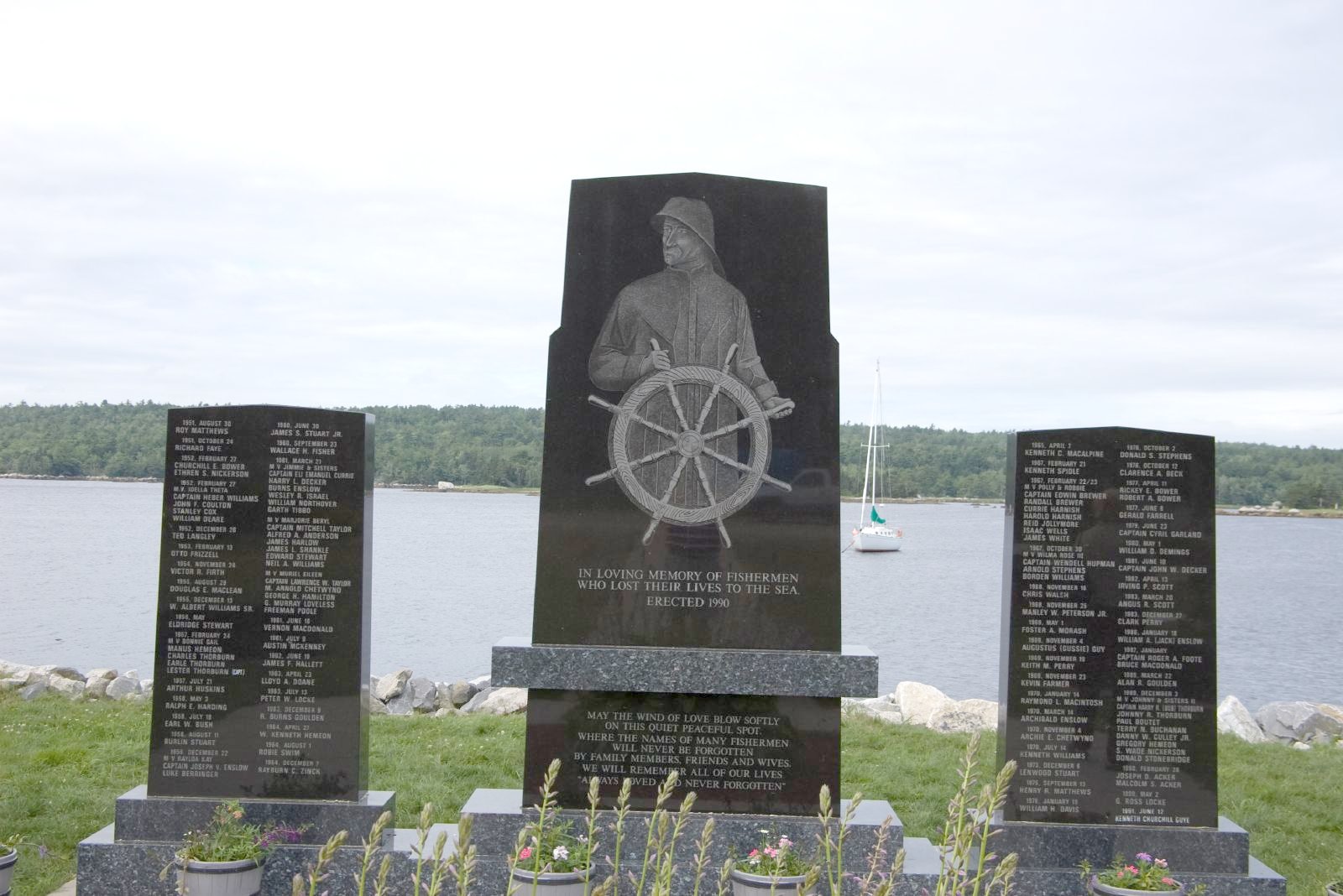
Shelburne, Nova Scotia
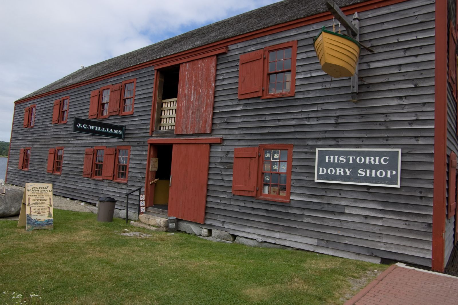
Shelburne, Nova Scotia
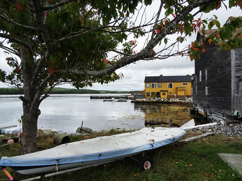
View of Shelburne harbour
DSC01274 - View from Lighthouse

Shelburne Harbour.. Wish I knew how to kayak.

FullSizeRender 45

Aquaculture_Canada-4

Lockeport Beach, Nova Scotia
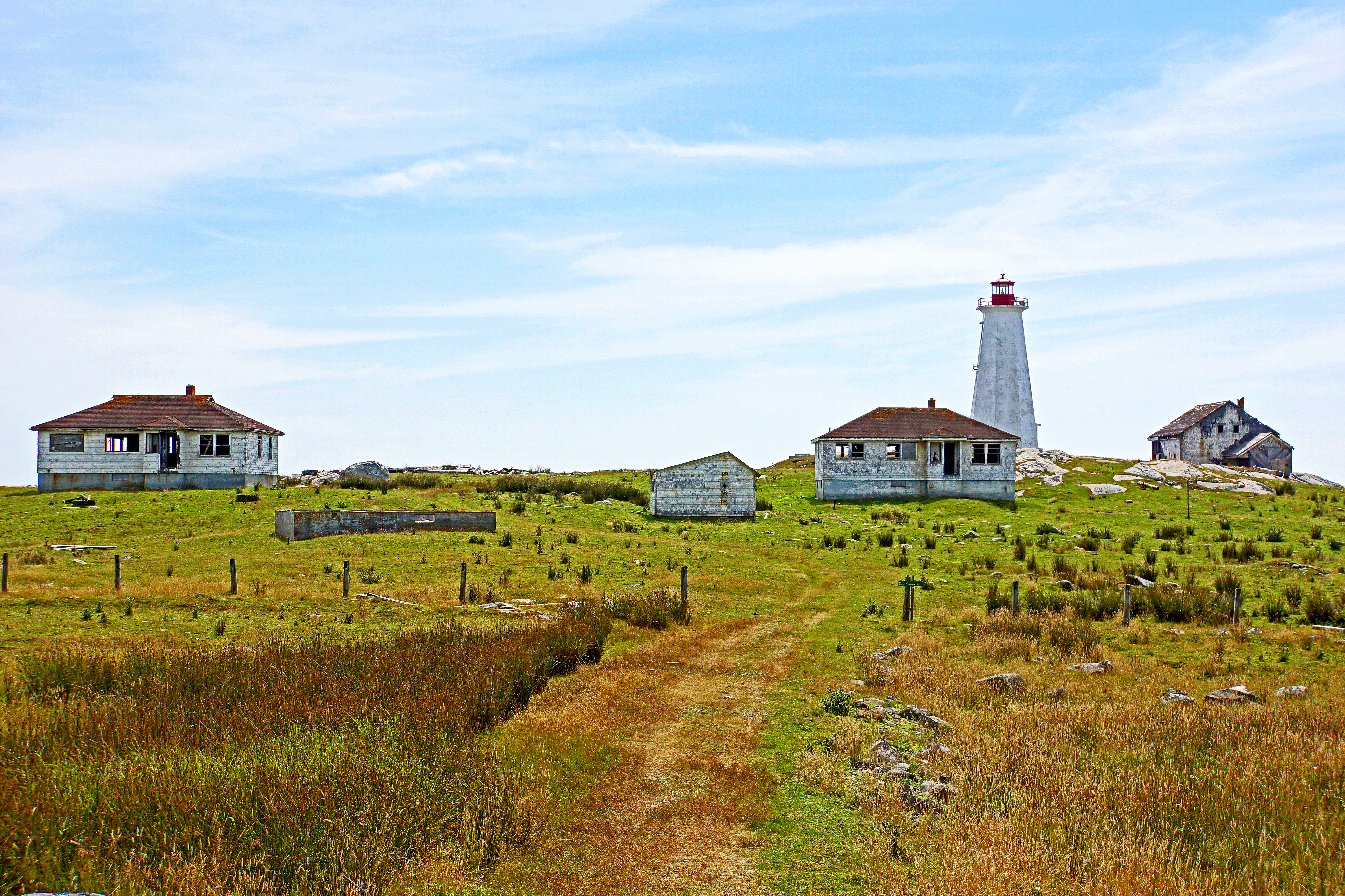
DSC01243 - Cape Roseway Lighthouse Station
Topographic Map of Lower Jordan Bay, NS B0T 1W0, Canada
Find elevation by address:

Places near Lower Jordan Bay, NS B0T 1W0, Canada:
139 Hammond Rd
Jordan Bay
Sandy Point Rd, Shelburne, NS B0T 1W0, Canada
2384 Sandy Point Rd
Sandy Point Recreation Centre
1231 Sandy Point Rd
Sandy Point Road
15 Fire Hall Rd, Shelburne, NS B0T 1W0, Canada
42 Thomas St
133 Elliot St
Shelburne
West Head Road
West Head Road
61 Roseway Ln, Shelburne, NS B0T 1W0, Canada
189 Brighton Rd
177 Brighton Rd
Shore Rd, Shelburne, NS B0T 1W0, Canada
Lockeport
Osborne Rd, Lockeport, NS B0T 1L0, Canada
Recent Searches:
- Elevation of Vista Blvd, Sparks, NV, USA
- Elevation of 15th Ave SE, St. Petersburg, FL, USA
- Elevation of Beall Road, Beall Rd, Florida, USA
- Elevation of Leguwa, Nepal
- Elevation of County Rd, Enterprise, AL, USA
- Elevation of Kolchuginsky District, Vladimir Oblast, Russia
- Elevation of Shustino, Vladimir Oblast, Russia
- Elevation of Lampiasi St, Sarasota, FL, USA
- Elevation of Elwyn Dr, Roanoke Rapids, NC, USA
- Elevation of Congressional Dr, Stevensville, MD, USA