Elevation of Sandy Point Rd, Shelburne, NS B0T 1W0, Canada
Location: Canada > Nova Scotia > Shelburne County > Shelburne > Shelburne >
Longitude: -65.287015
Latitude: 43.669679
Elevation: -10000m / -32808feet
Barometric Pressure: 295KPa
Elevation Map:
Satellite Map:
Related Photos:

DSC01168 - New Jerusalem Farm

DSC01188 - I made it - Cape Roseway Lighthouse Station - finally
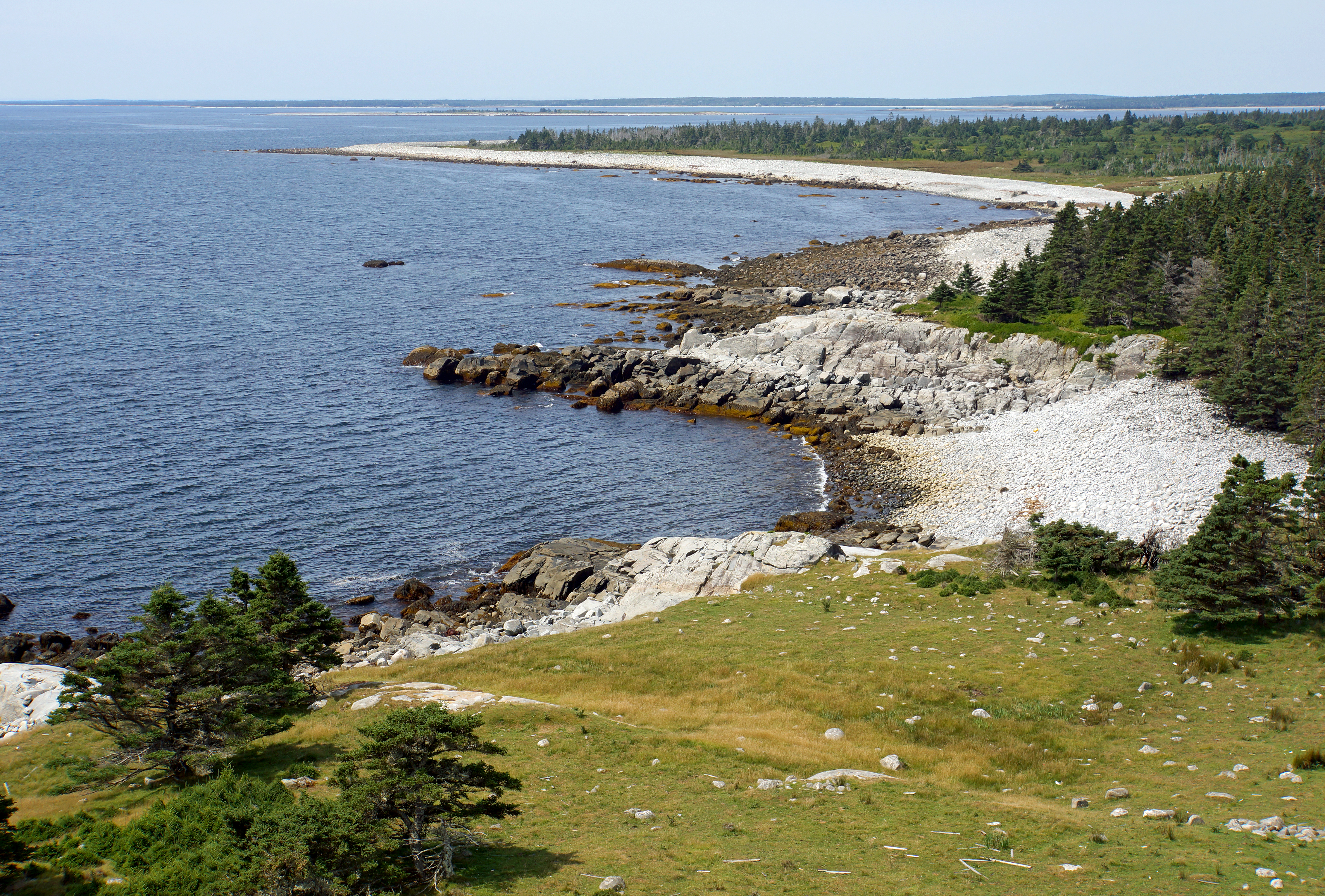
DSC01295 - Coastline of McNutt's Island

DSC01169 - New Jerusalem Farm

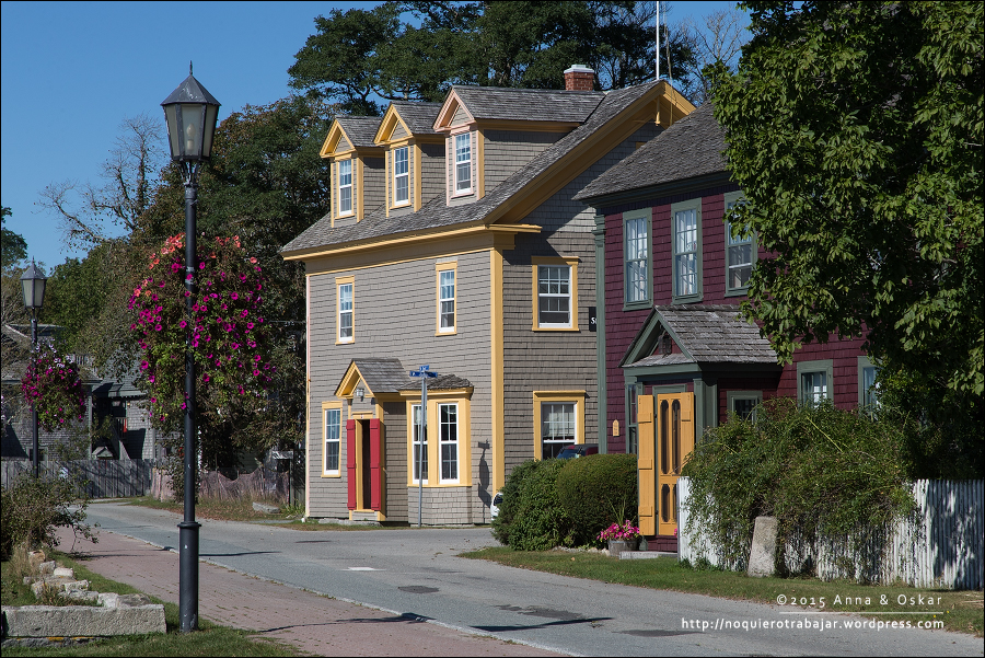
Shelburne, Nova Scotia

Shelburne, Nova Scotia

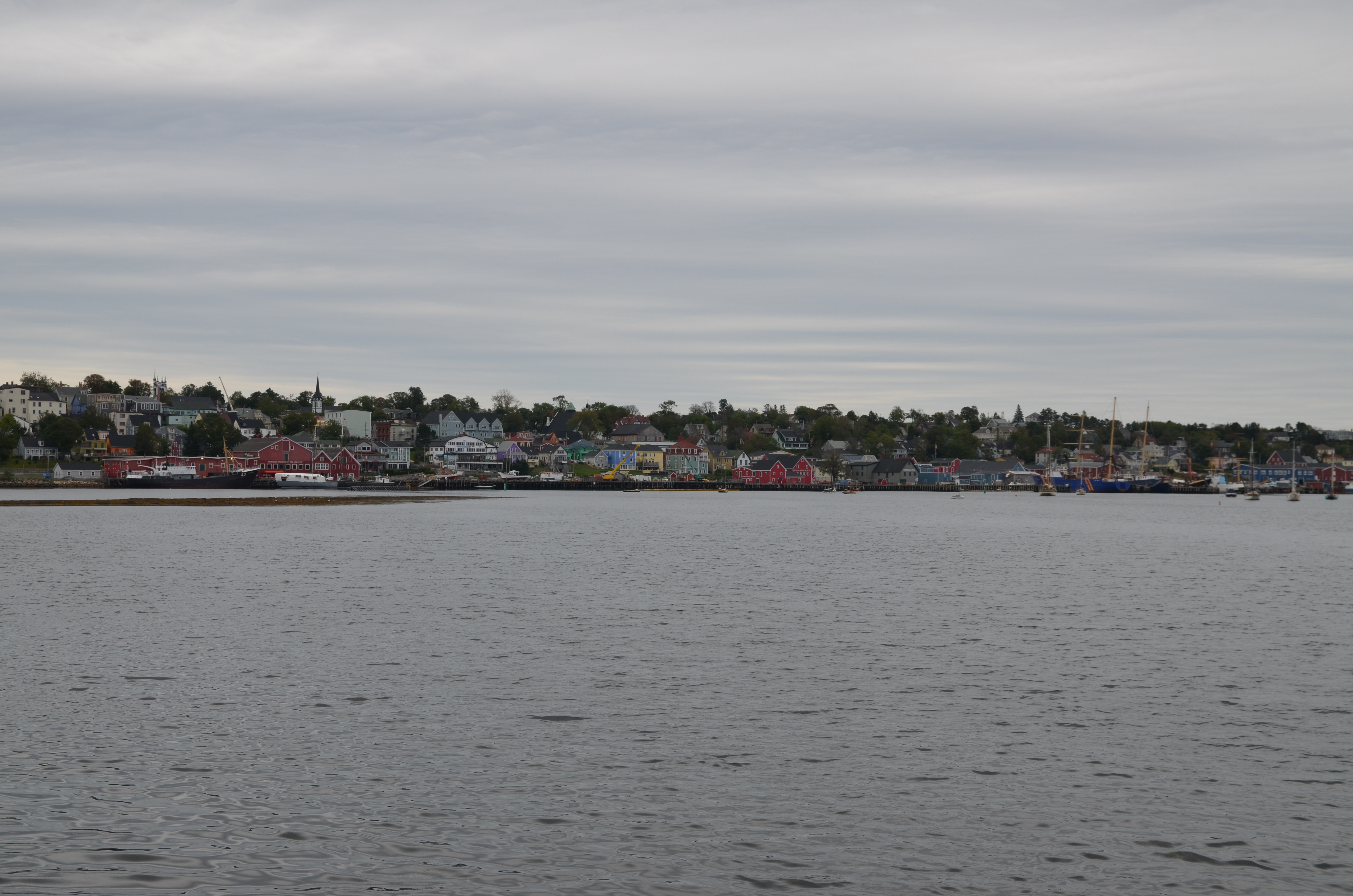
View of Shelburne harbour

Aquaculture_Canada-3

almost late

shelburne 11.45 uhr
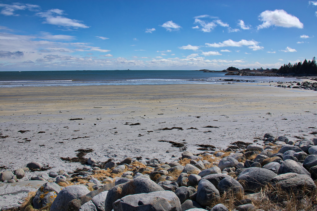
Lockeport Beach, Nova Scotia

_DSC3960.jpg

_DSC3810.jpg

Gunning Cove

Flowers On The Dunes

Nova Scotia, clouds above Nova Scotia seen from Delta Airlines flight from New York to Bucharest [16.08.2008]

_DSC3962.jpg

_DSC4368.jpg

Water On Beach Flowers

Gunning Cove

Along the Roseway River

Lockeport Harbour
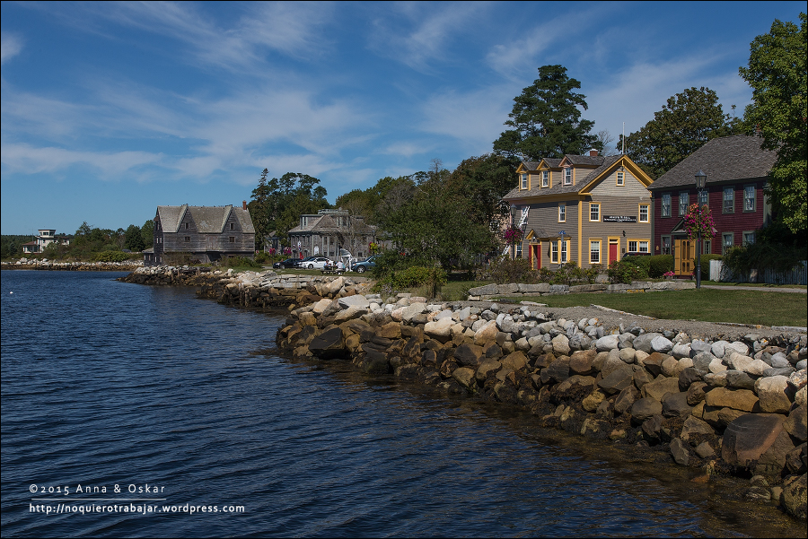
Lunenburg Waterfront

Warm Summer Evening
Shelburne, Nova Scotia (Canada)
Shelburne, Nova Scotia (Canada)

Shelburne, Nova Scotia (Canada)
Topographic Map of Sandy Point Rd, Shelburne, NS B0T 1W0, Canada
Find elevation by address:

Places near Sandy Point Rd, Shelburne, NS B0T 1W0, Canada:
Sandy Point Rd, Shelburne, NS B0T 1W0, Canada
Sandy Point Recreation Centre
Lower Jordan Bay
1231 Sandy Point Rd
15 Fire Hall Rd, Shelburne, NS B0T 1W0, Canada
139 Hammond Rd
Jordan Bay
Sandy Point Road
61 Roseway Ln, Shelburne, NS B0T 1W0, Canada
42 Thomas St
Shore Rd, Shelburne, NS B0T 1W0, Canada
133 Elliot St
Shelburne
West Head Road
West Head Road
189 Brighton Rd
177 Brighton Rd
Lockeport
Osborne Rd, Lockeport, NS B0T 1L0, Canada
Recent Searches:
- Elevation of 1 Zion Park Blvd, Springdale, UT, USA
- Elevation of Ganderbal
- Elevation map of Konkan Division, Maharashtra, India
- Elevation of Netaji Nagar, Hallow Pul, Kurla, Mumbai, Maharashtra, India
- Elevation of Uralsk, Kazakhstan
- Elevation of 45- Kahana Dr, Honokaa, HI, USA
- Elevation of New Mexico 30, NM-30, Española, NM, USA
- Elevation of Santmyer Way, Charles Town, WV, USA
- Elevation of Riserva Naturale Lago di Montepulciano, Italy
- Elevation of Marjorie Lane, Marjorie Ln, Whitefield, NH, USA