Elevation of Lot 18, PE, Canada
Location: Canada > Prince Edward Island > Prince County >
Longitude: -63.704885
Latitude: 46.5202726
Elevation: 0m / 0feet
Barometric Pressure: 101KPa
Elevation Map:
Satellite Map:
Related Photos:

Prince Edward Island
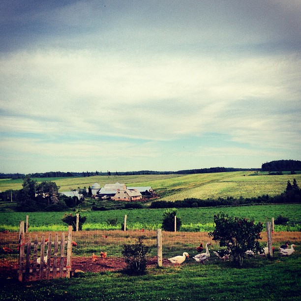
View from the top of the hill behind Karen's house.
The view off the back deck of the random lunch spot we stopped at on our third year anniversary day. Blown away by the sights on no filter island! #PEI #Gorgeous #BaySide #SeaSide #LocalFlavours #Love #Year4Ever

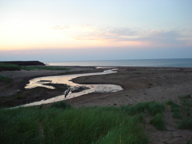
One year of pictures 2015, June 18: Beautiful beach in Sea View.
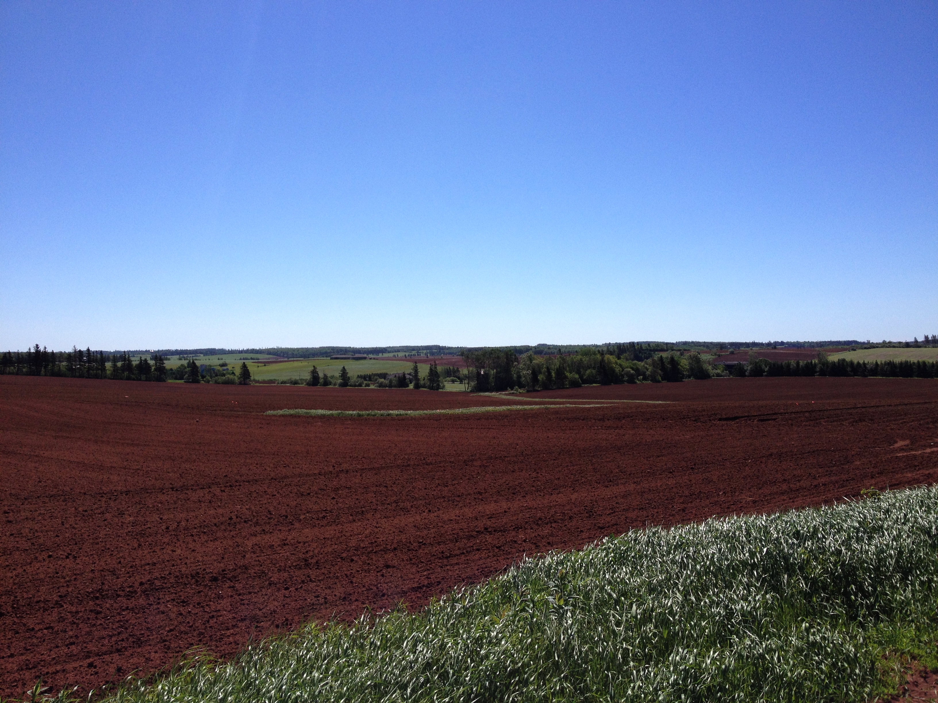
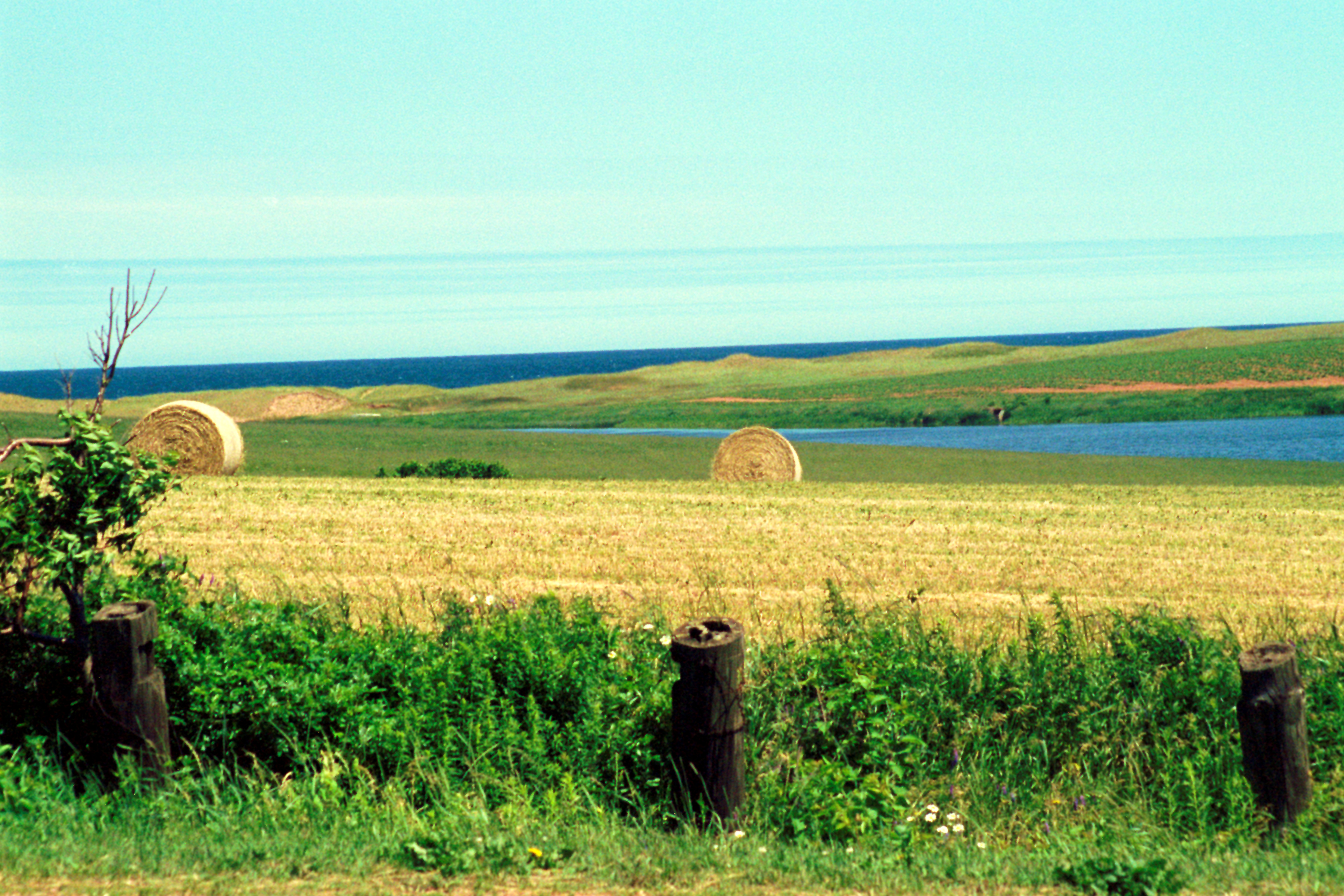
View from the field behind Karen's house.
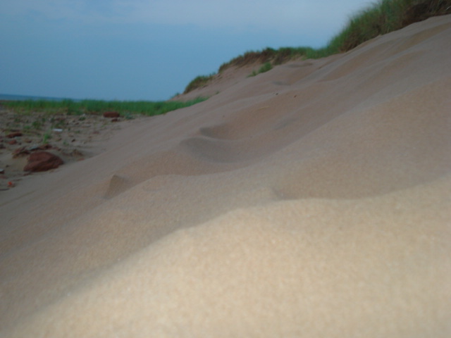
Dune at Sea View, PEI
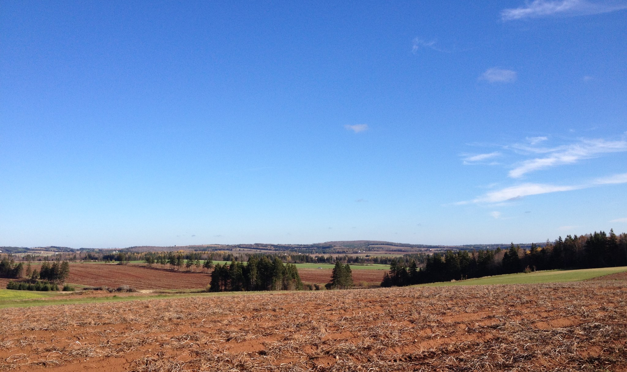
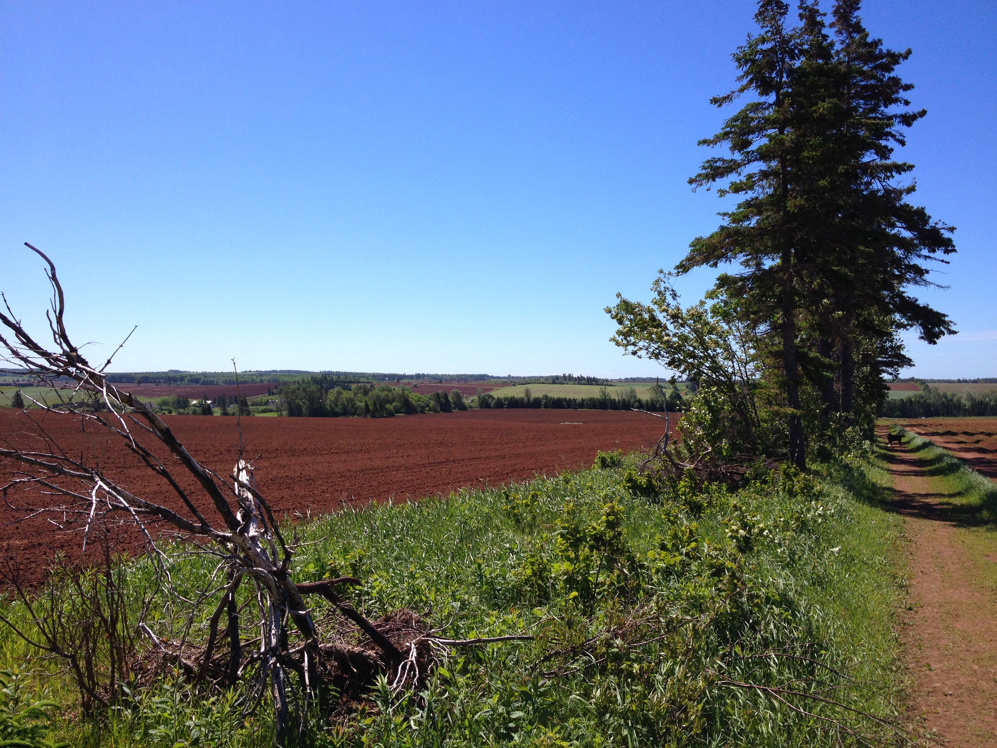
View from the top of the hill behind Karen's house.

Sharkys Seafood Restaurant

Cape Tryon View
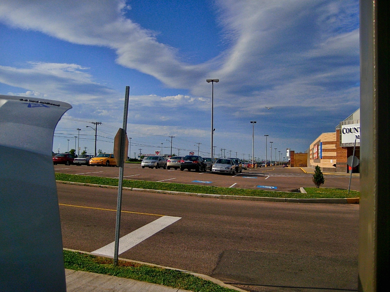
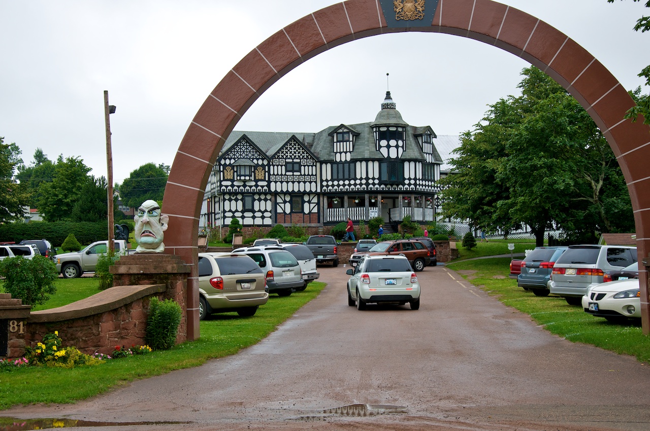
View down the mall lot
Sunset at Sea View, PEI
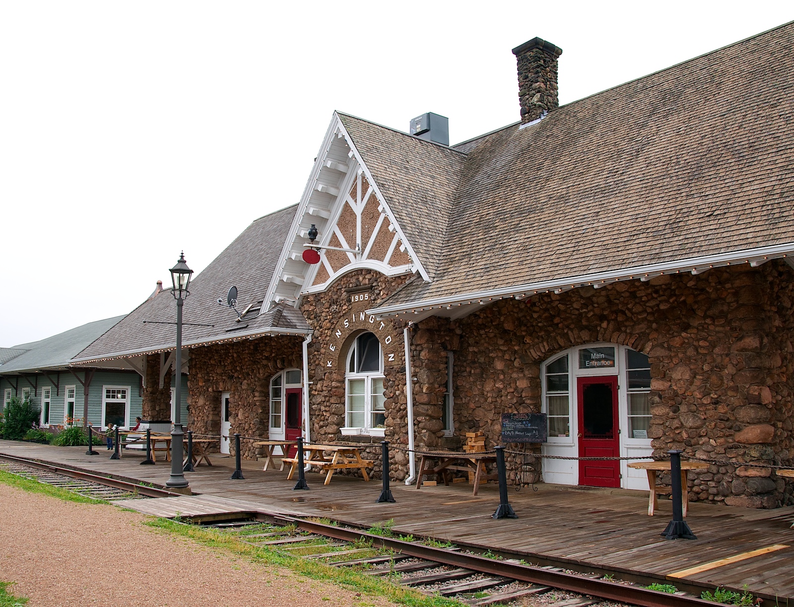
Track side view of the station complex
Closer view
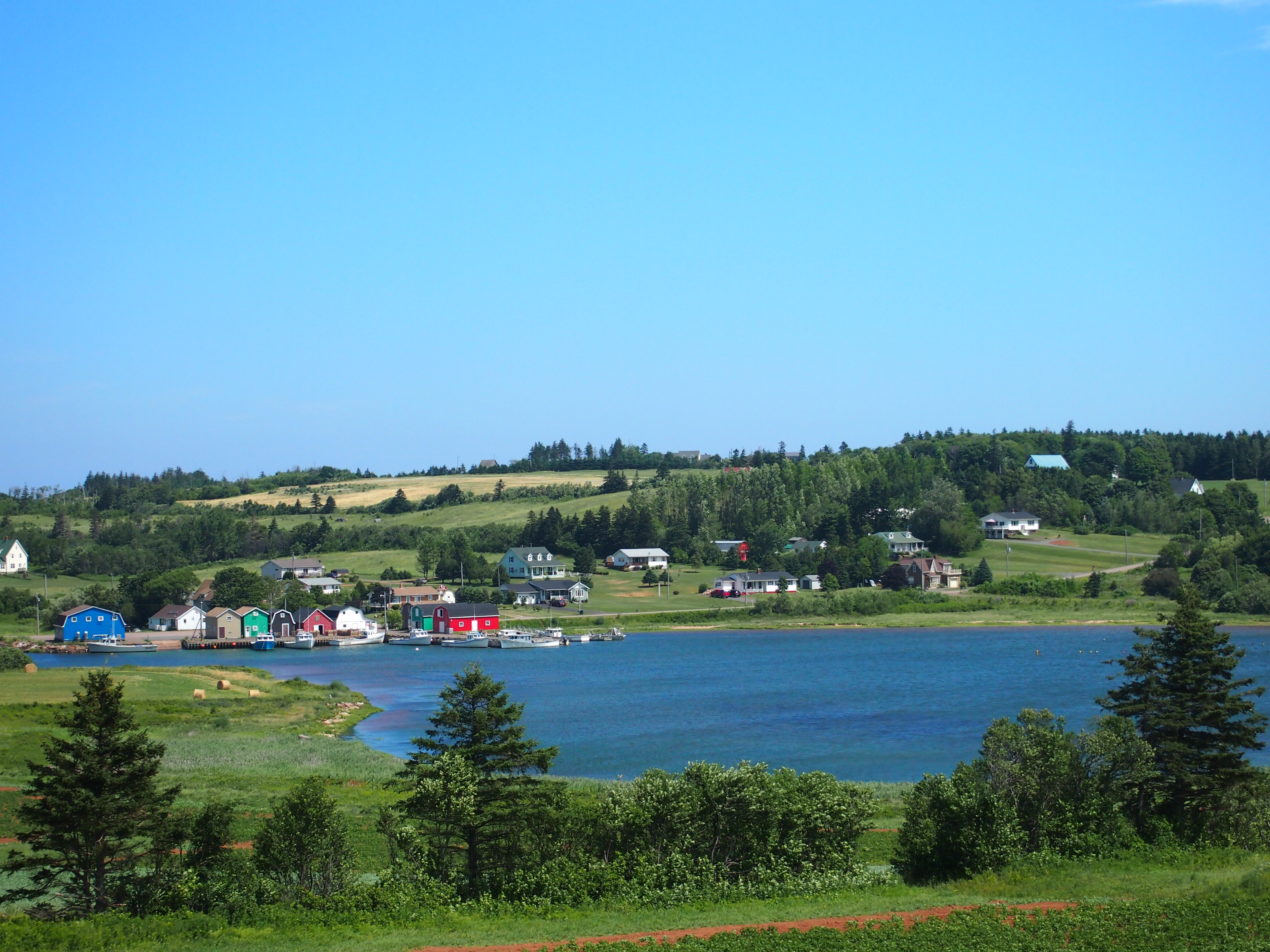
Another view from Park Corner.
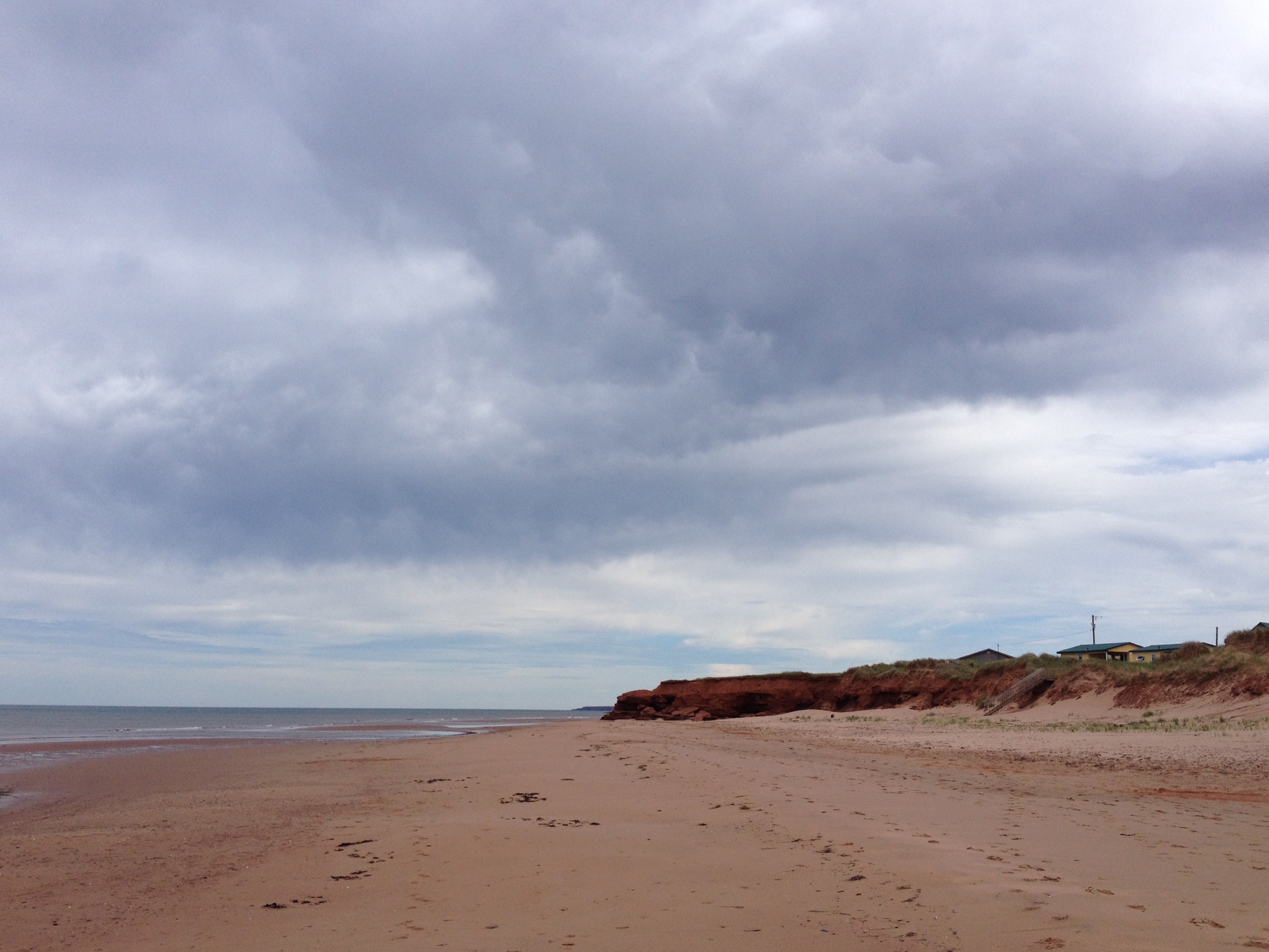
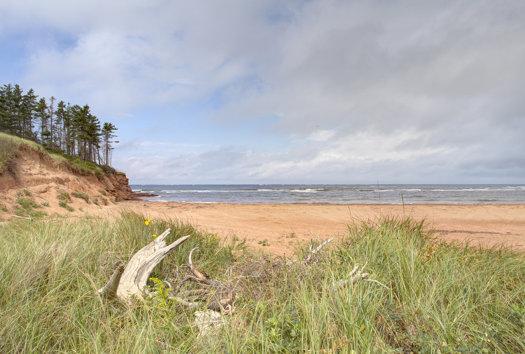
Beautiful beach at Sea View.
Prince Edward Island, Canada- French River
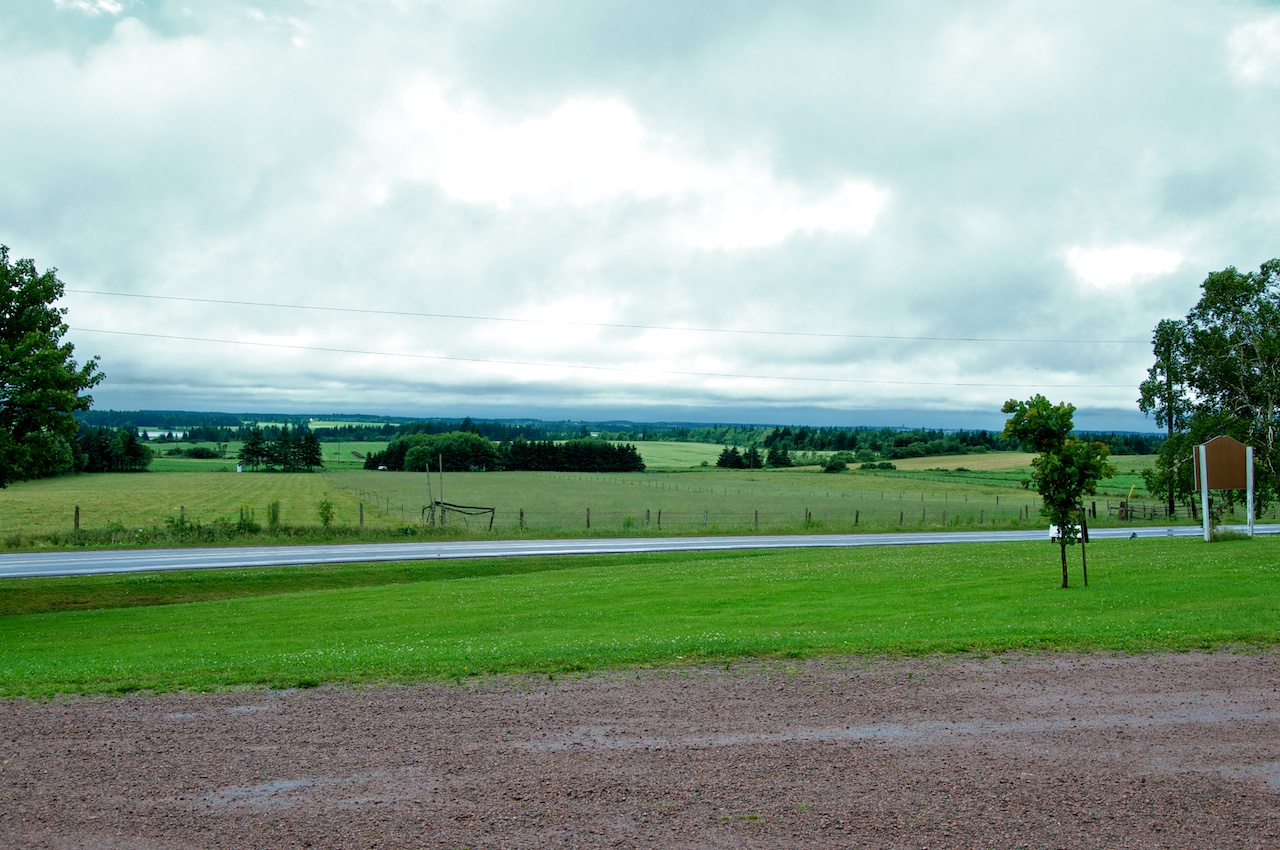
View from the lot
View from upstairs.
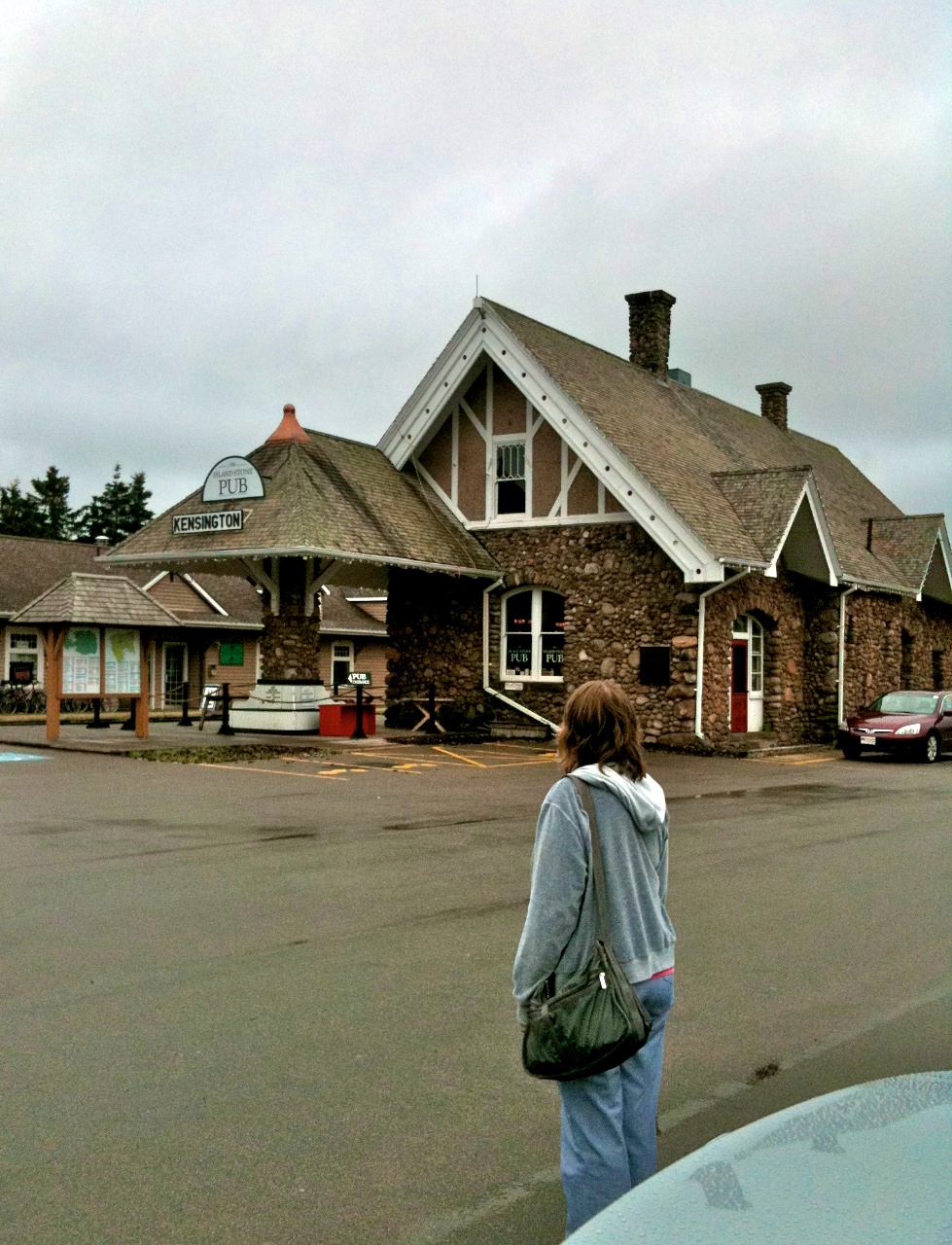
Outside view

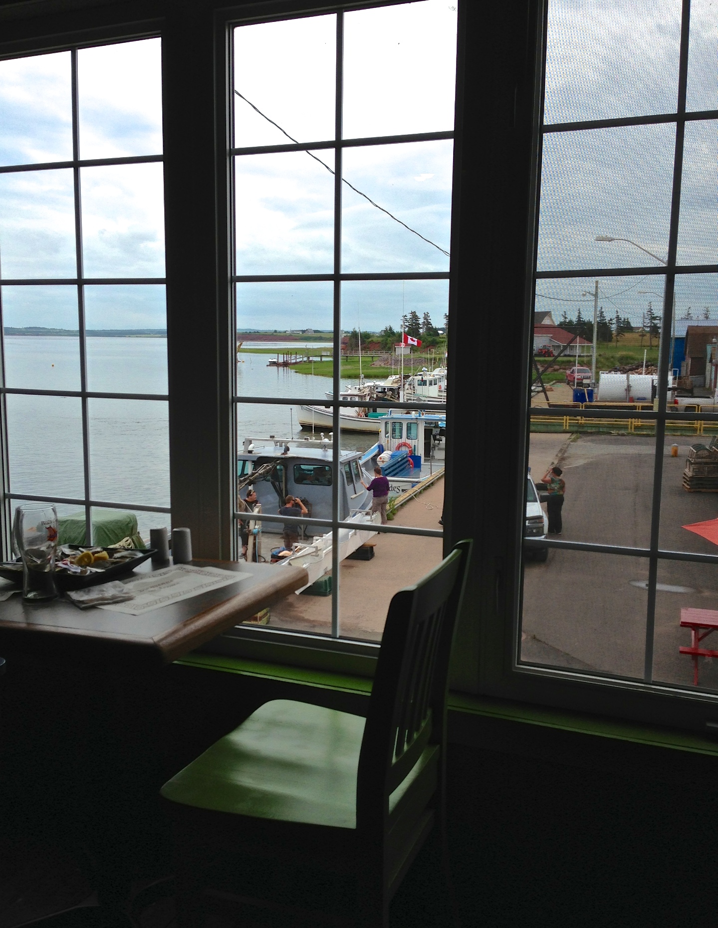
Lunch View
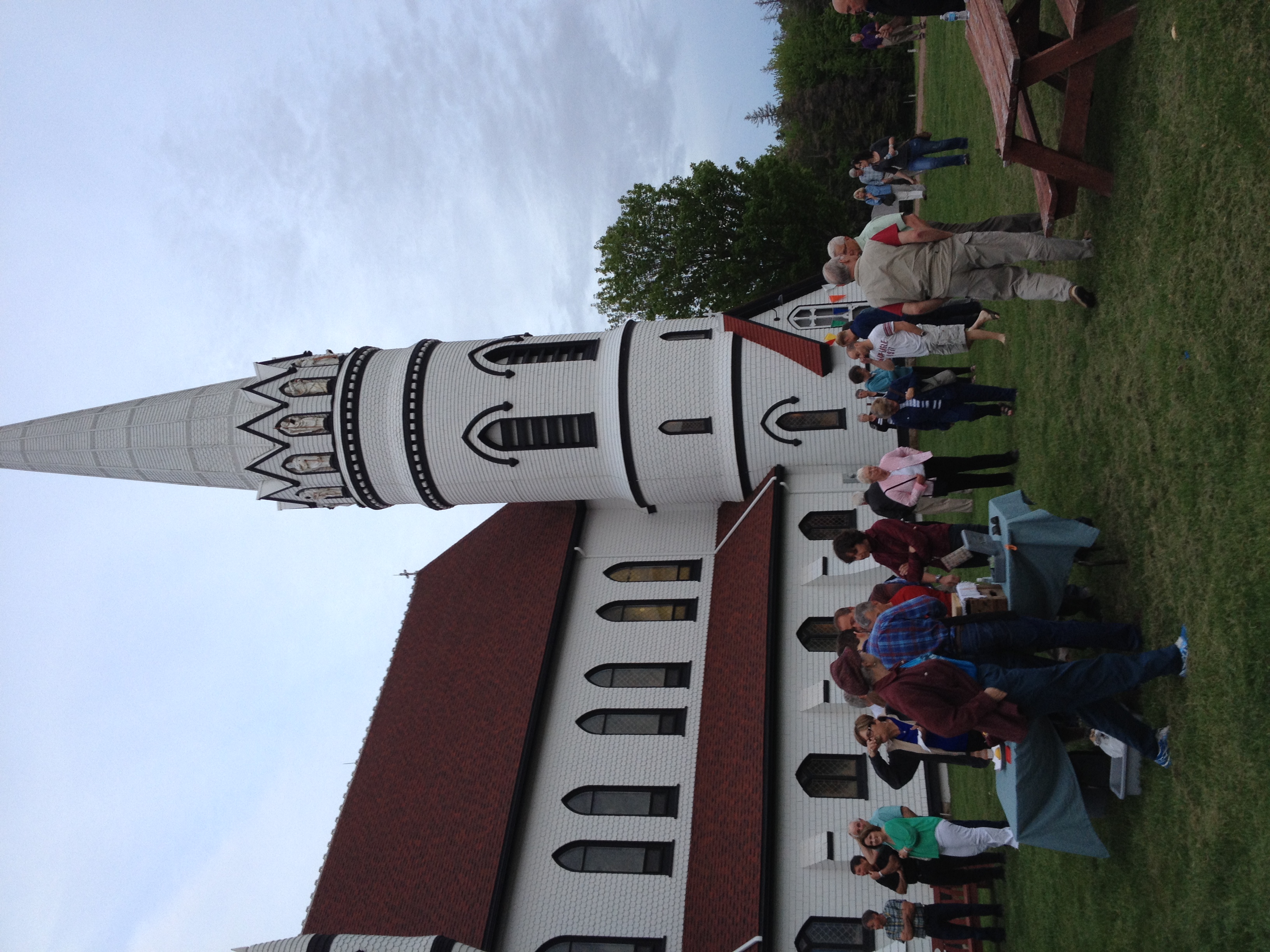
Another view of the St. Mary's Church.
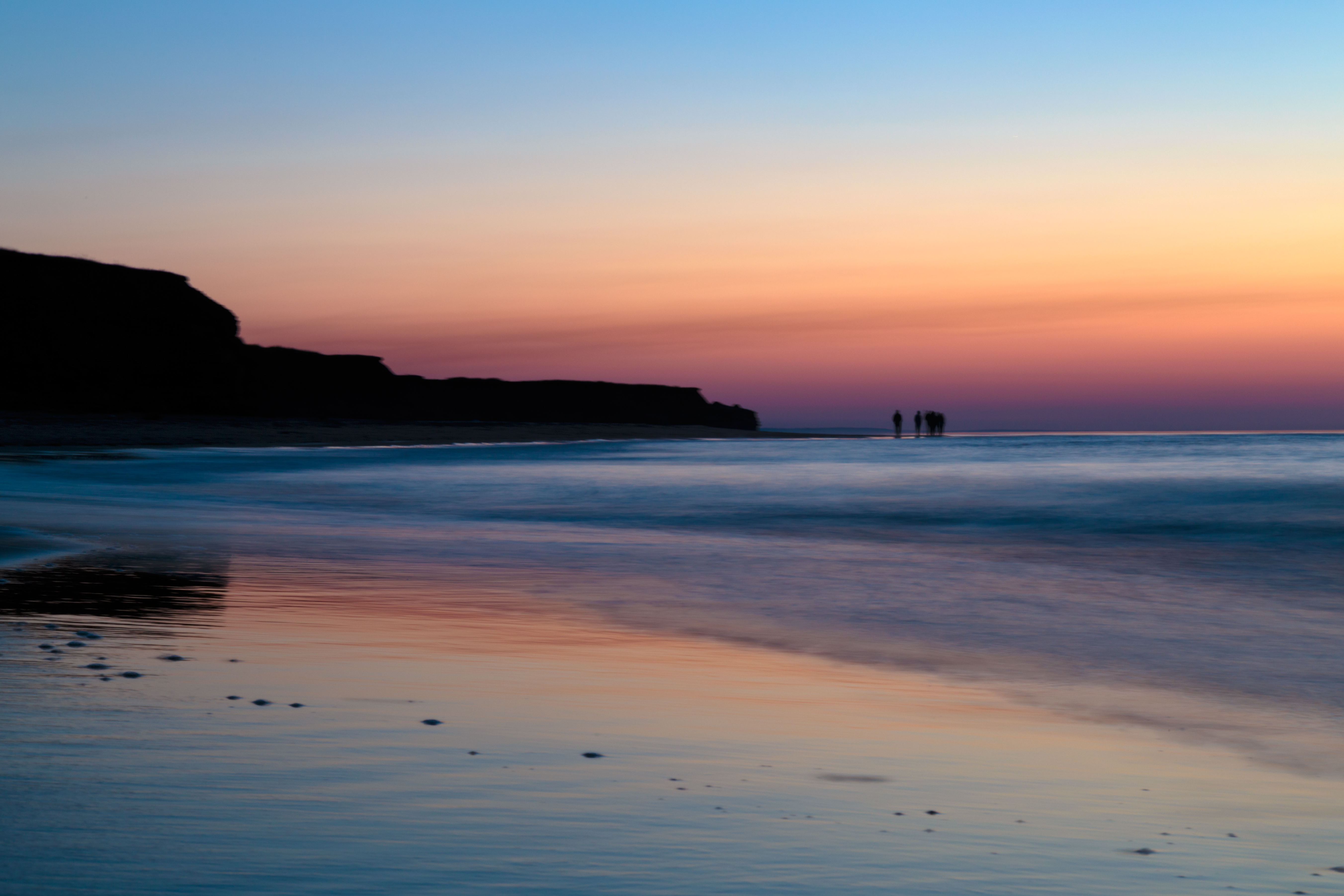
Island sunset
Thunder Cove
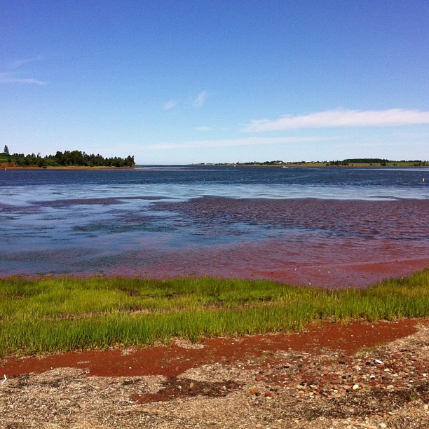
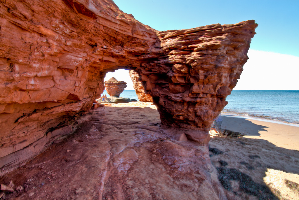
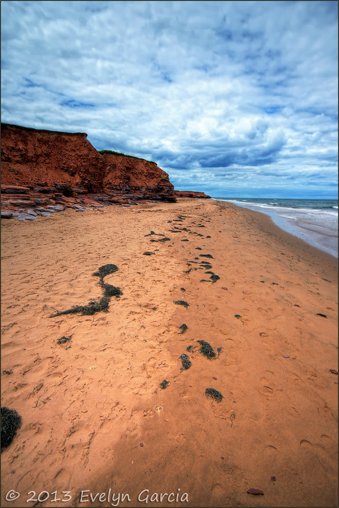
red sands of PEI.
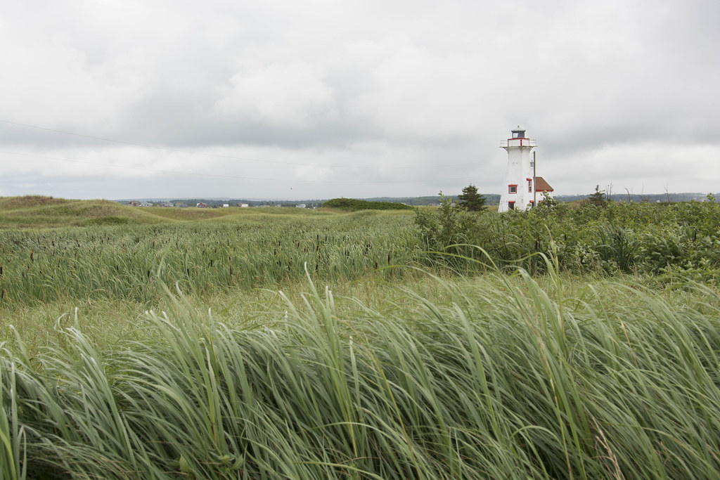
phare de l'IPE

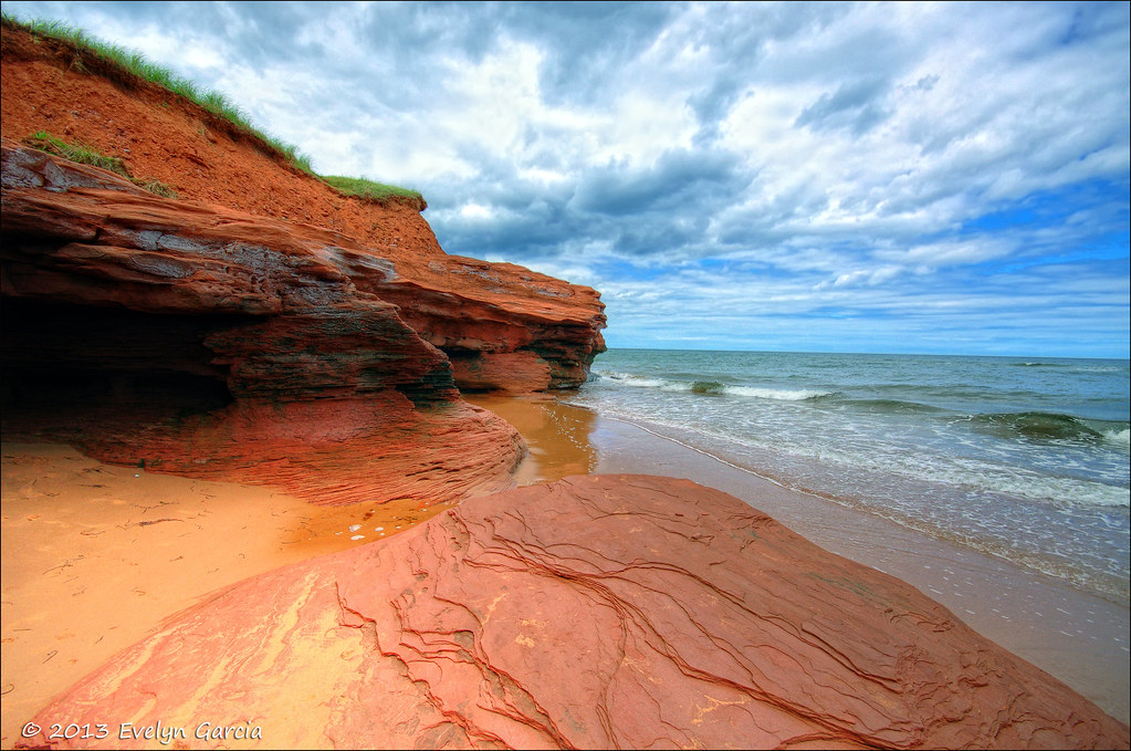
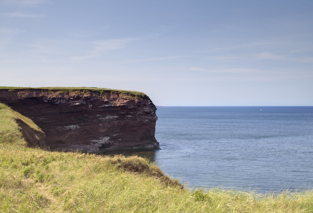
Cliffs at Old Cape Tryon Light

Echoes of Summer (explored)
Walk this way.
Cabot Park Beach, Prince Edward Island
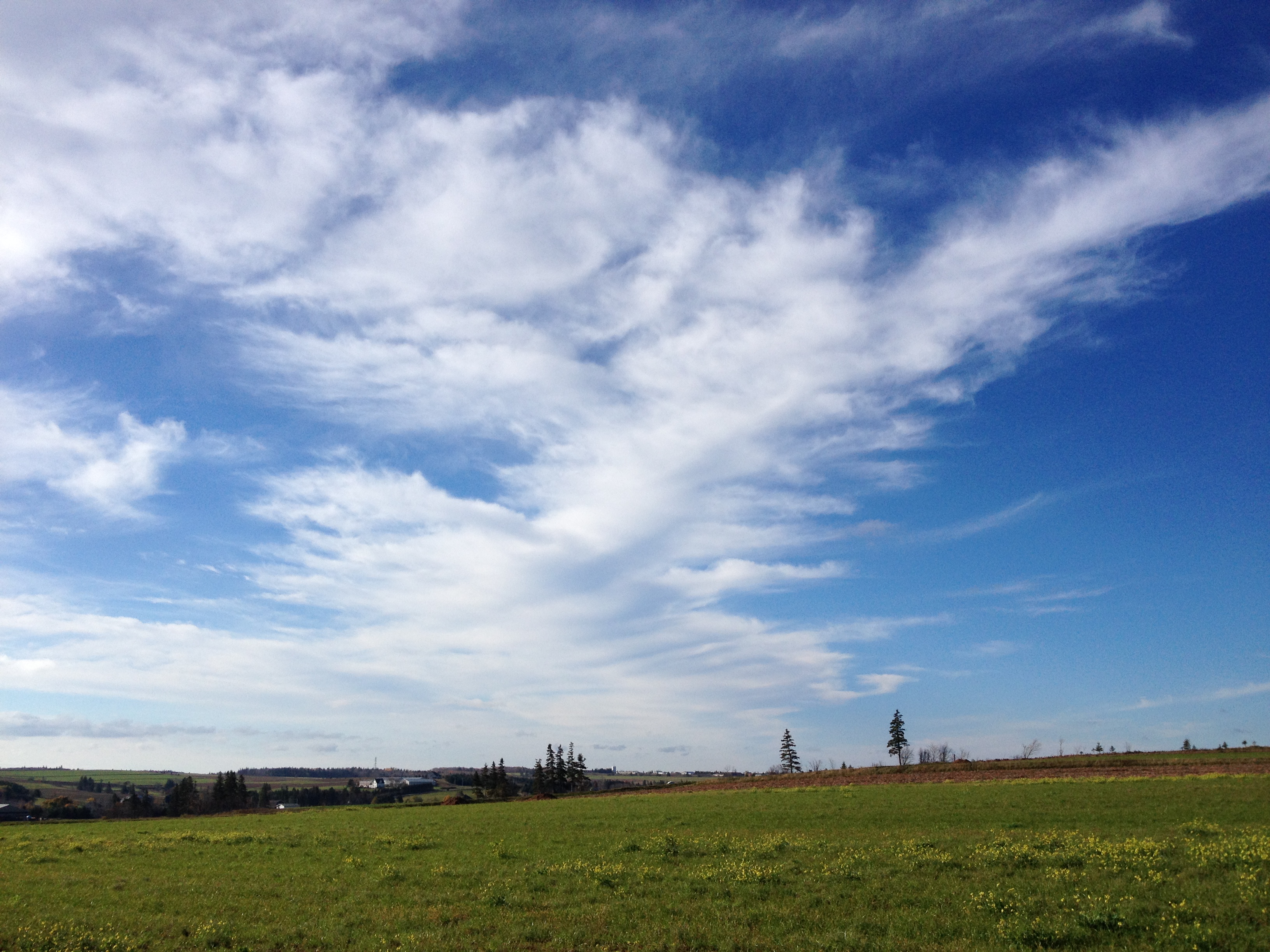
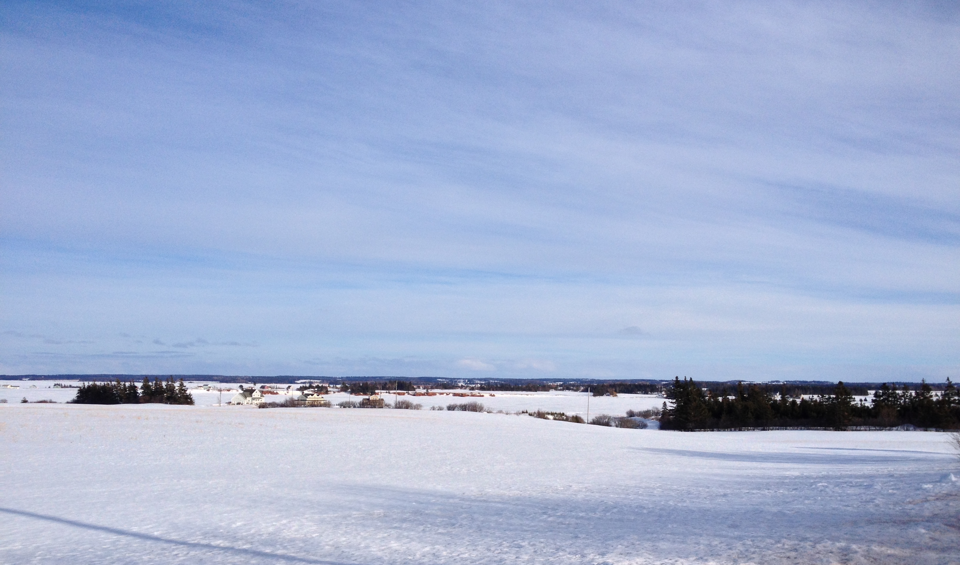
One year of pictures 2014, no. 303: Pretty sky over the field behind Karen and Chris's house.

Lake of Shining Waters
French River July 1996 3

Lake of Shining Watsrs

natural light
Cape Tryon, Prince Edward Island HDR 2
Park Corner (July 2000) 7
Margate, Prince Edward Island July 2013

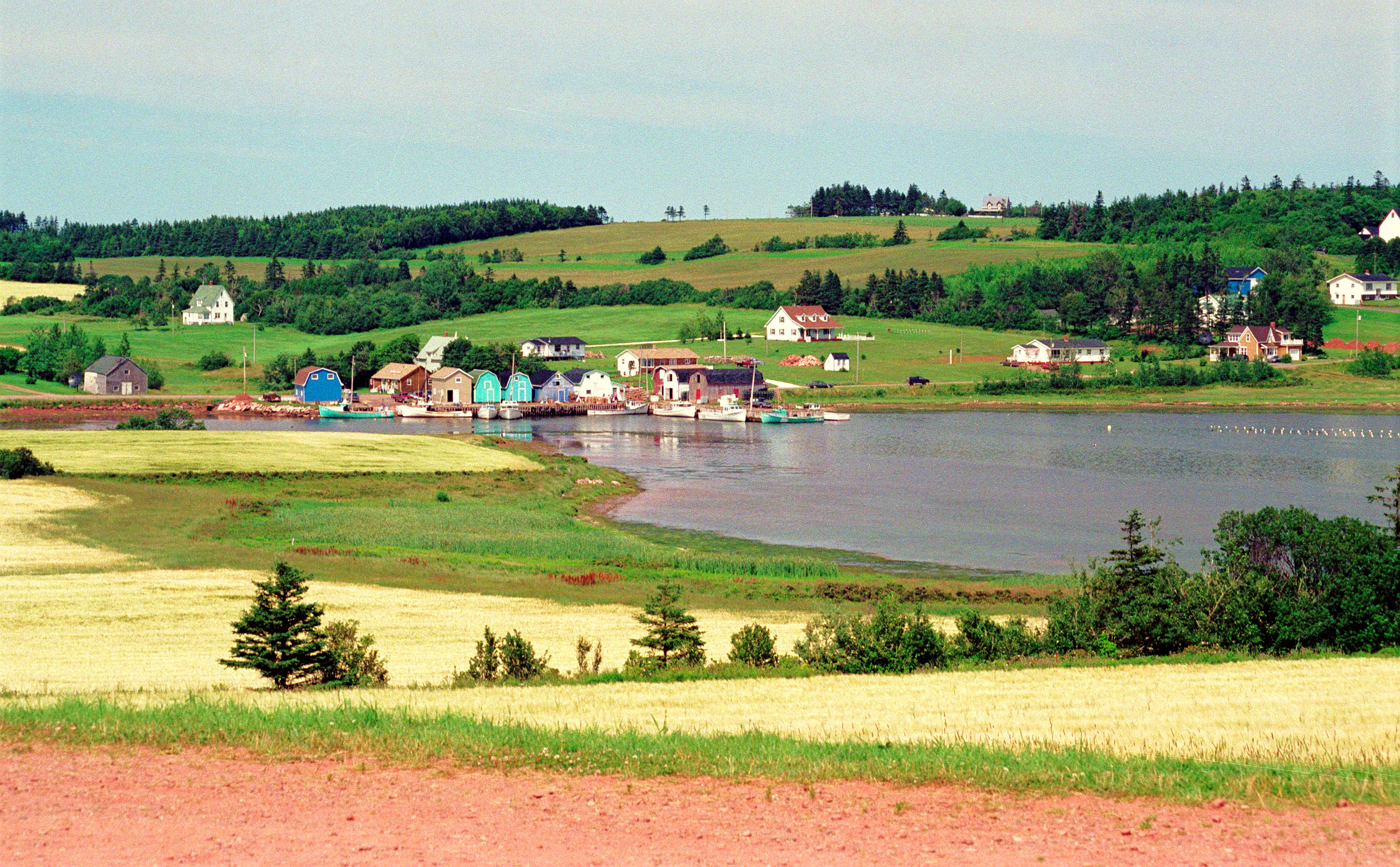
Prince Edward Island, Canada- Shining Waters
Topographic Map of Lot 18, PE, Canada
Find elevation by address:

Places in Lot 18, PE, Canada:
Places near Lot 18, PE, Canada:
Hamilton Rd, Kensington, PE C0B 1M0, Canada
326 Royalty Point Rd
258 Basinview Crescent
Darnley
Lot 19
Kensington
65 Roy Boates Ave
Blue Shank Rd, Kensington, PE C0B 1M0, Canada
Duke St & Tower St
67 North Dr, Summerside, PE C1N 4E7, Canada
12 Weeks Dr
22 Glenn Dr
Linkletter
5494 Pe-12
Linkletter Beach Rd, Linkletter, PE C0B, Canada
11 Lady Slipper Dr N, Miscouche, PE C0B 1T0, Canada
Miscouche
Bayside
Lot 16
20 Hall Rd, Richmond, PE C0B 1Y0, Canada
Recent Searches:
- Elevation of Corso Fratelli Cairoli, 35, Macerata MC, Italy
- Elevation of Tallevast Rd, Sarasota, FL, USA
- Elevation of 4th St E, Sonoma, CA, USA
- Elevation of Black Hollow Rd, Pennsdale, PA, USA
- Elevation of Oakland Ave, Williamsport, PA, USA
- Elevation of Pedrógão Grande, Portugal
- Elevation of Klee Dr, Martinsburg, WV, USA
- Elevation of Via Roma, Pieranica CR, Italy
- Elevation of Tavkvetili Mountain, Georgia
- Elevation of Hartfords Bluff Cir, Mt Pleasant, SC, USA