Elevation of Irishtown Rd, Kensington, PE C0B 1M0, Canada
Location: Canada > Prince Edward Island > Prince County > Lot 18 >
Longitude: -63.603035
Latitude: 46.4855055
Elevation: 9m / 30feet
Barometric Pressure: 101KPa
Elevation Map:
Satellite Map:
Related Photos:
View from upstairs.

Milton enjoying the view.

Prince Edward Island
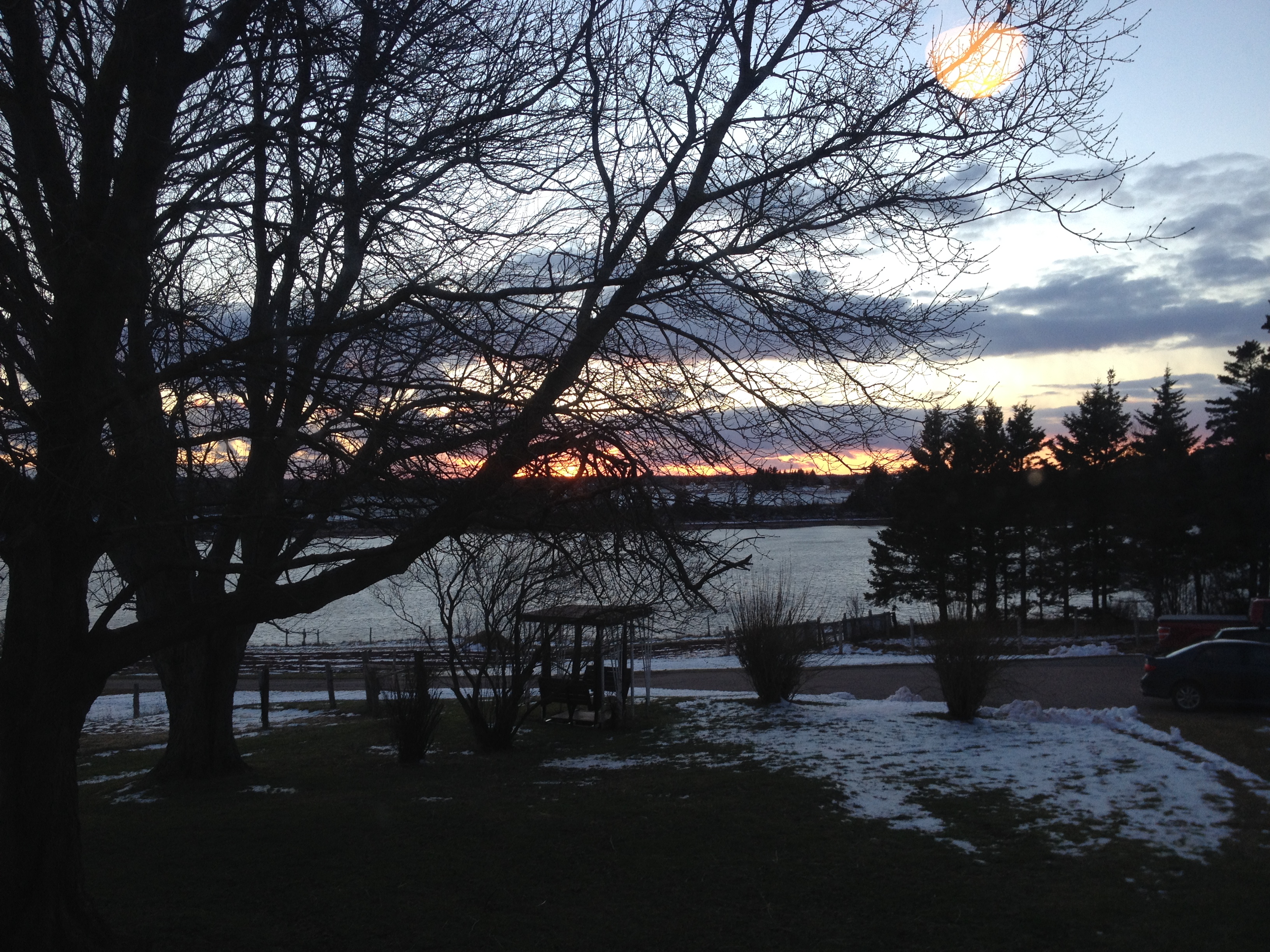
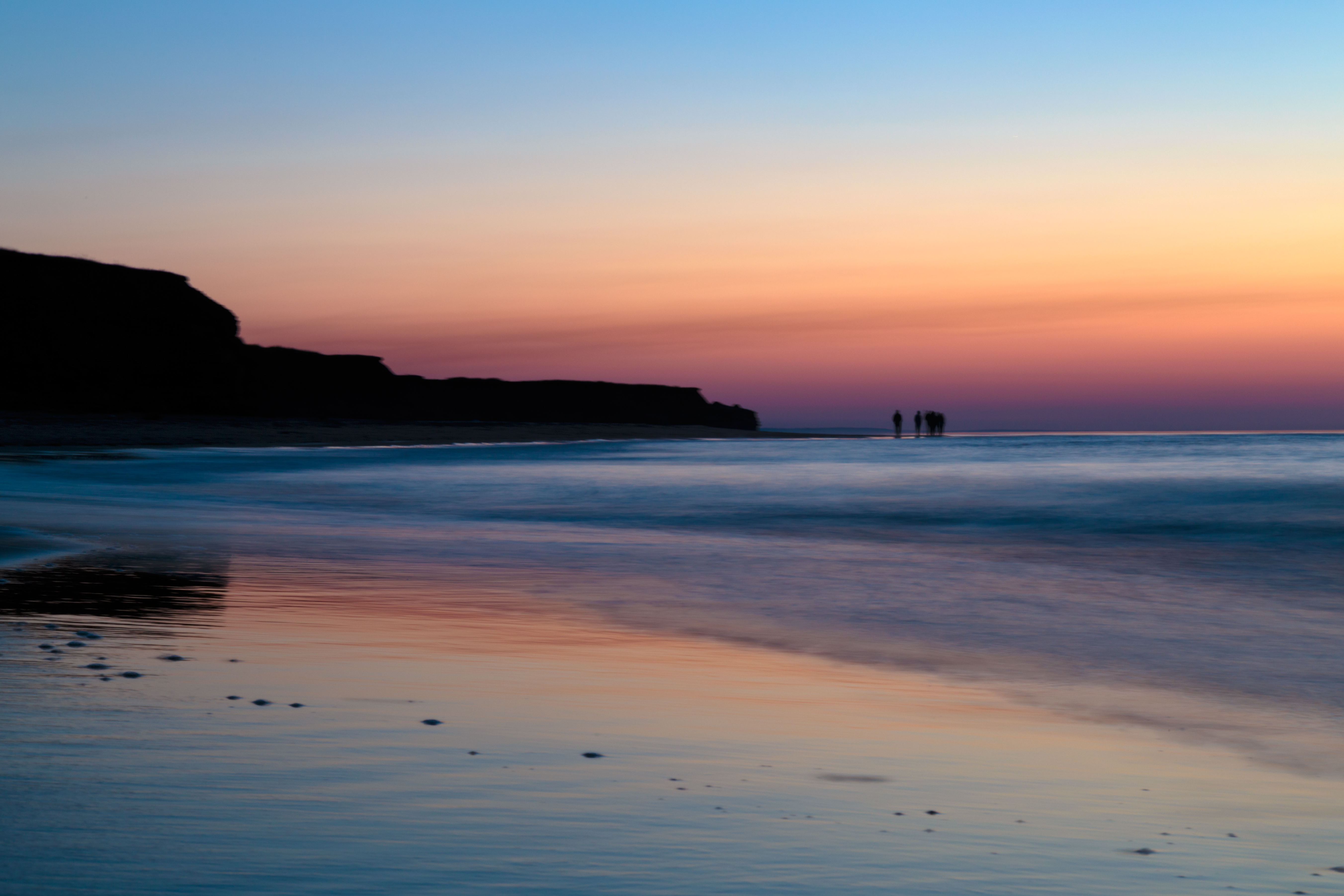
View of New London Bay at sunset.
View from Homestead Trail.
View from the top of the hill behind Karen's house.
View toward French River.
View towards Spring Brook.

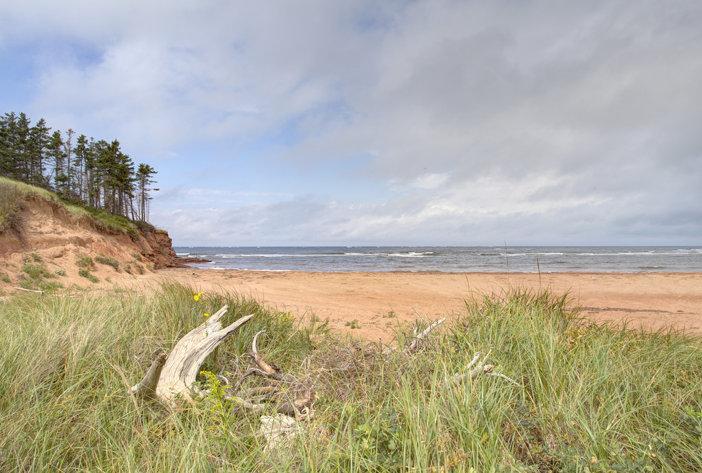
Another view of the beach.
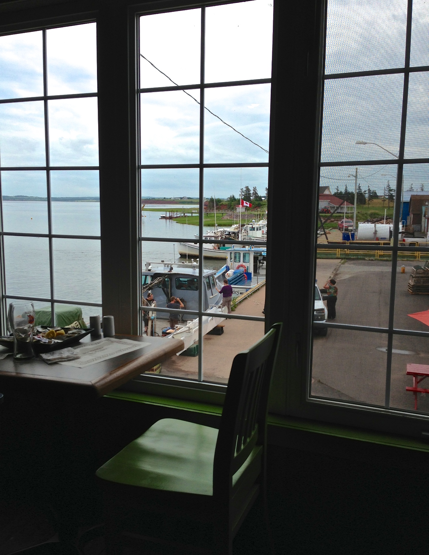
The view off the back deck of the random lunch spot we stopped at on our third year anniversary day. Blown away by the sights on no filter island! #PEI #Gorgeous #BaySide #SeaSide #LocalFlavours #Love #Year4Ever

One year of pictures 2015, June 18: Beautiful beach in Sea View.

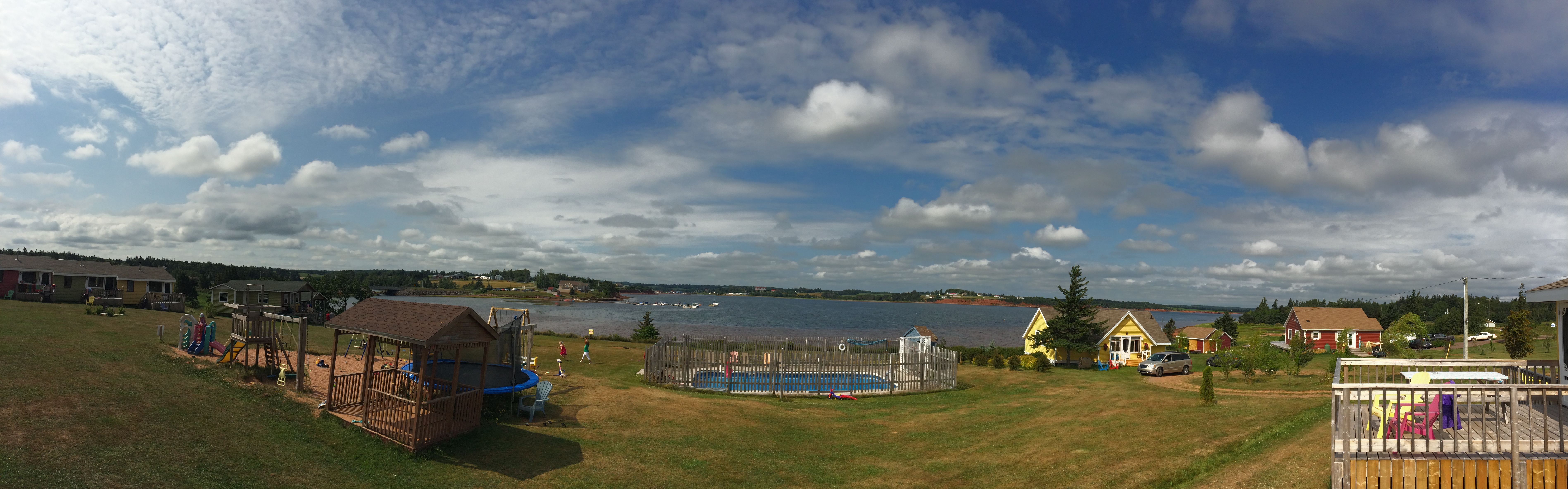
View of the bay from Bruce's gazebo.

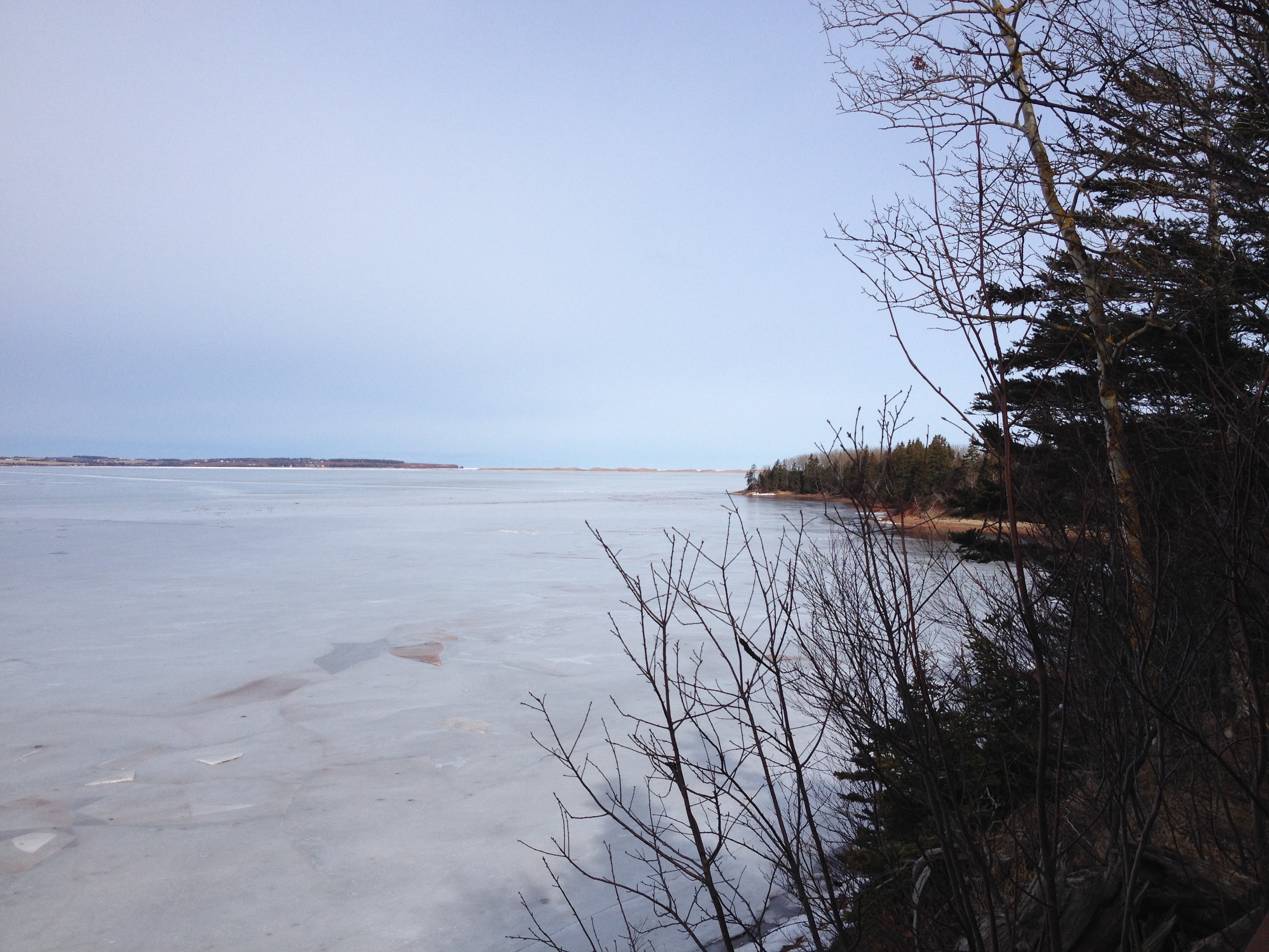
View across New London Bay.

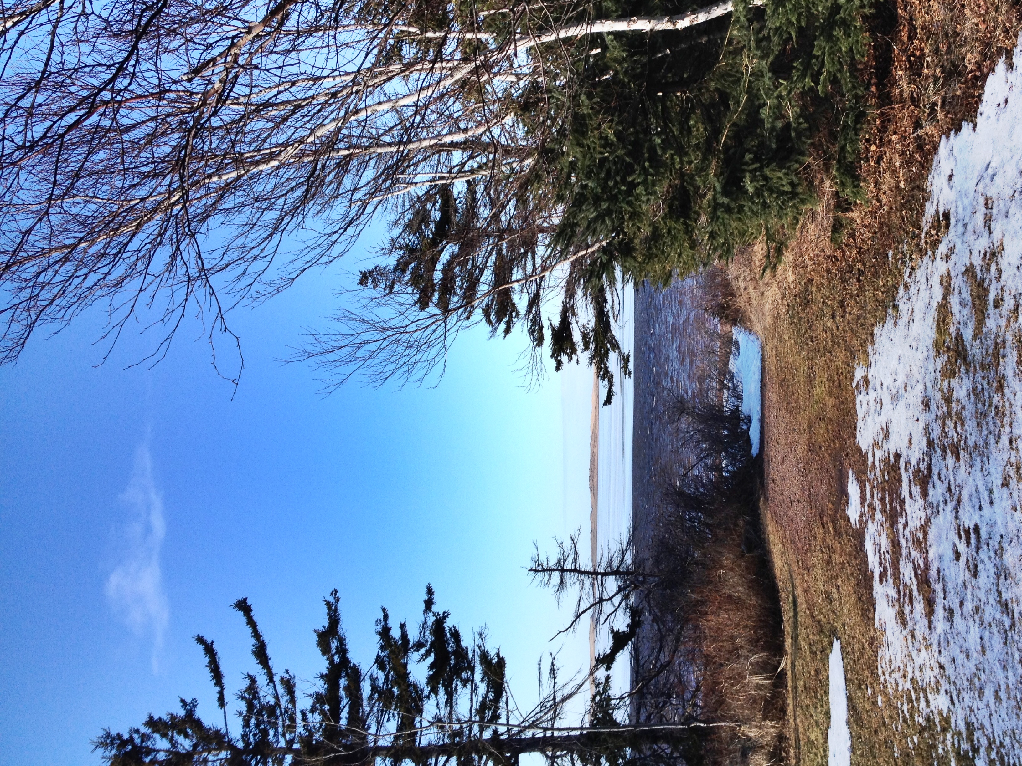
View towards the sand dunes.
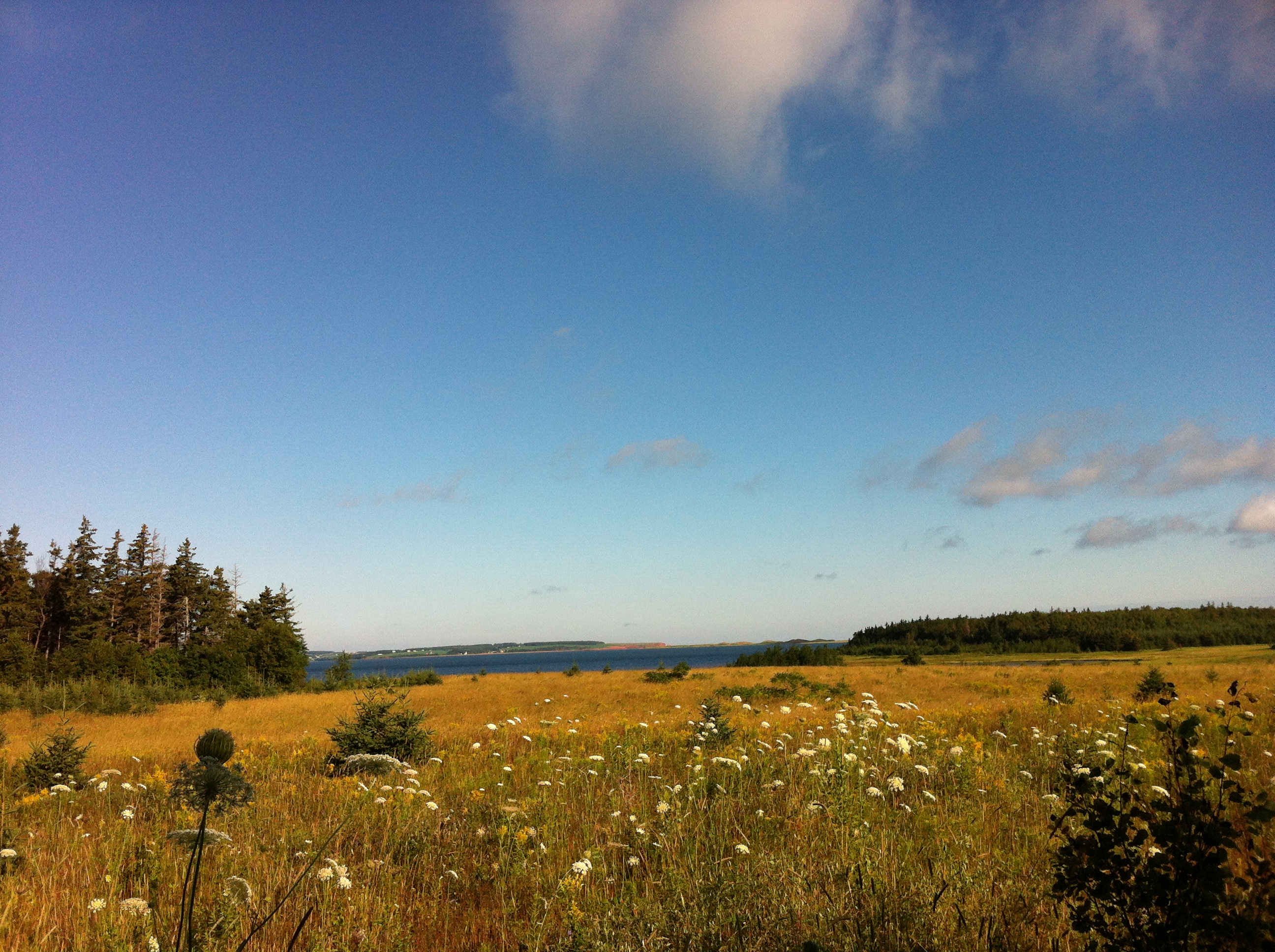
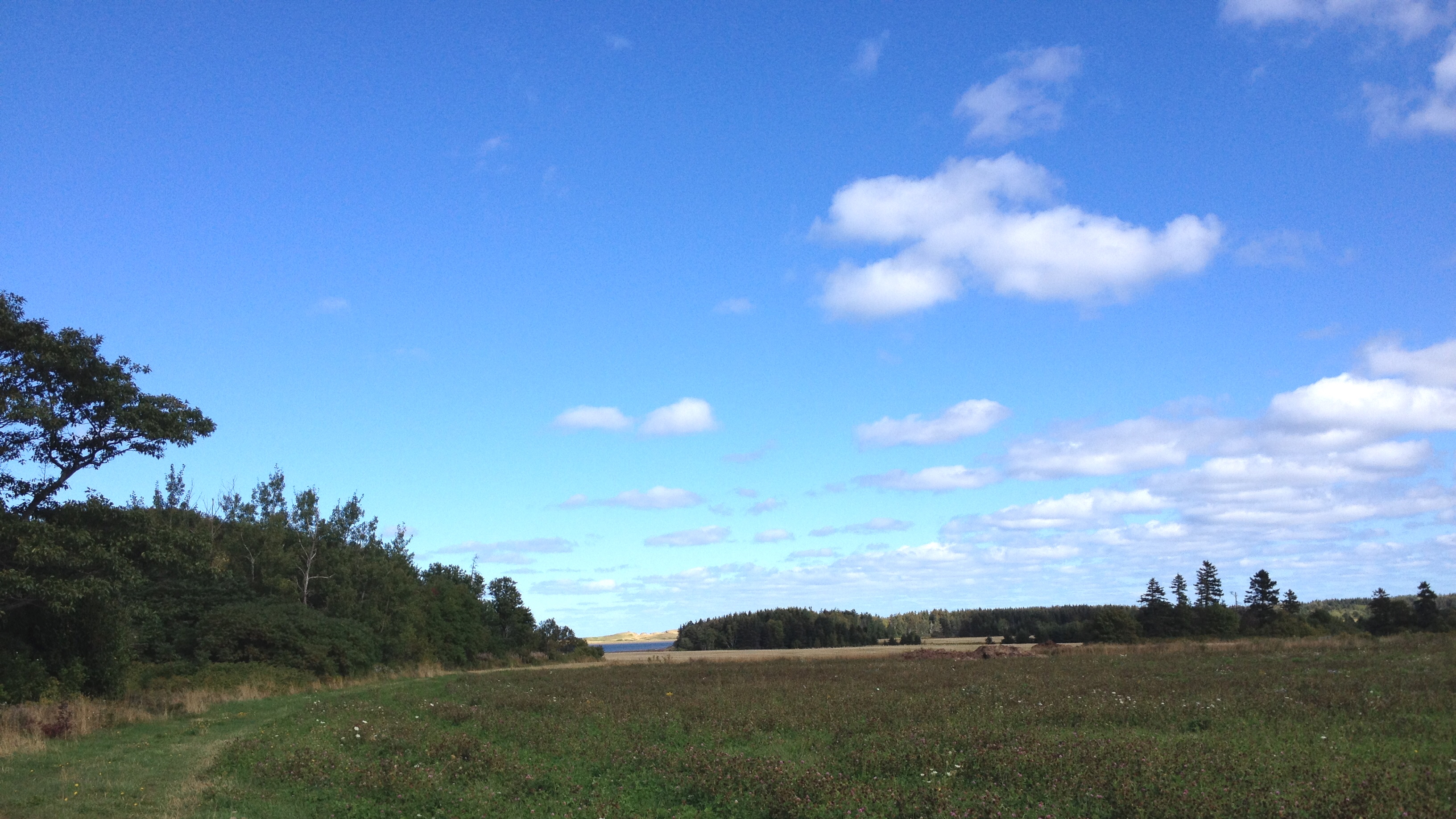
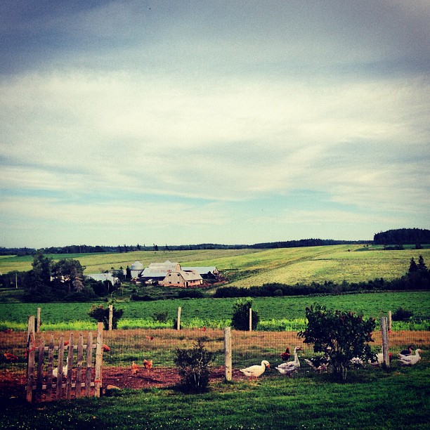
View from the field behind Karen's house.
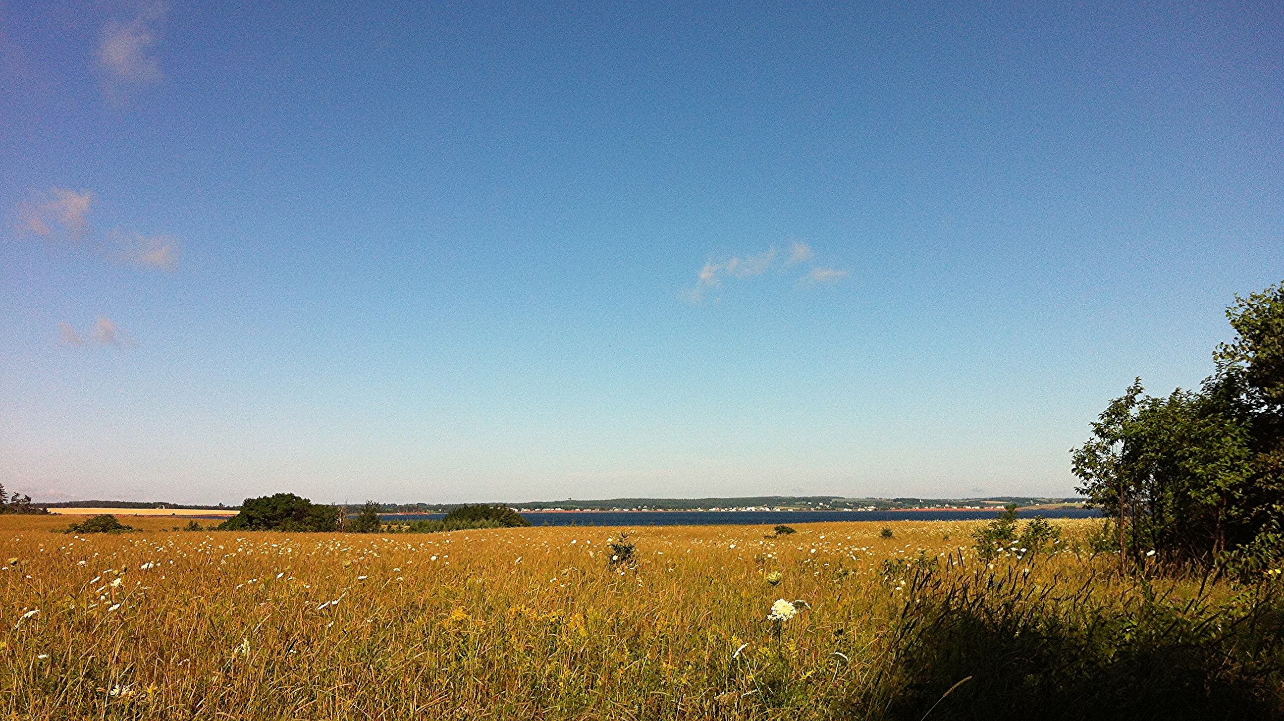
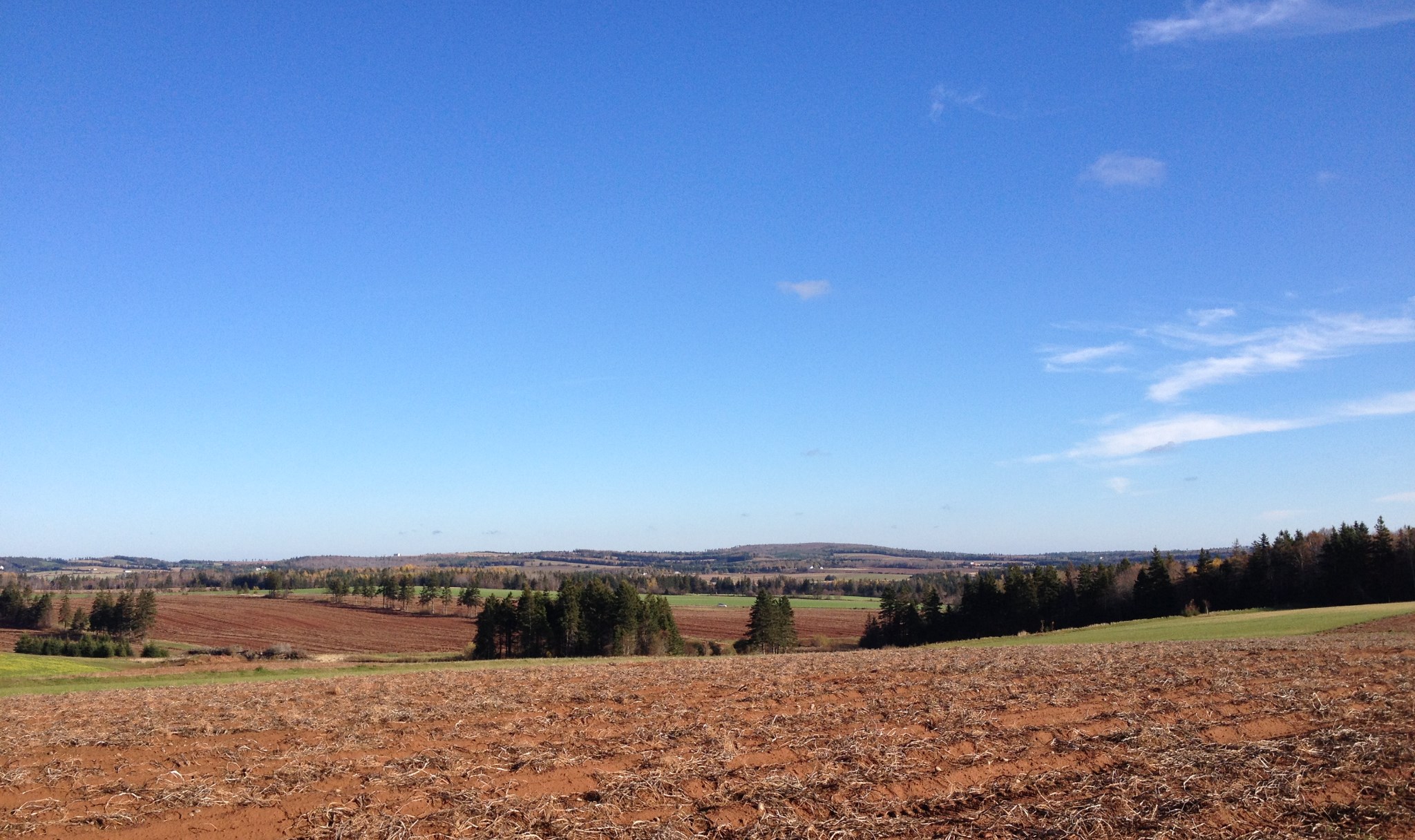
One year of pictures 2015, September 26: View of fields from David's farm down towards the water.
View of bay from Bruce's gazebo.
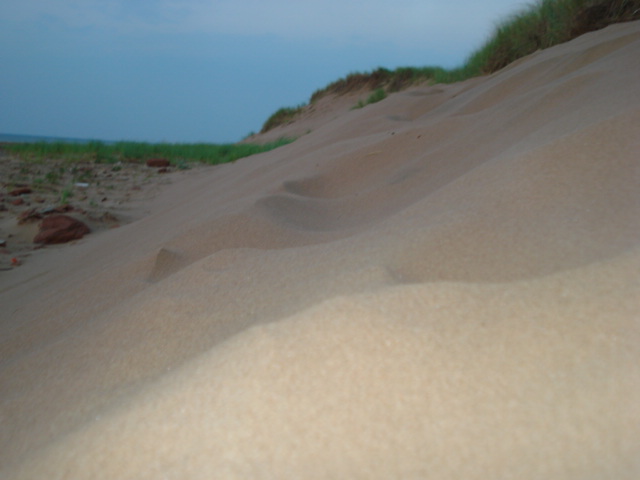
Dune at Sea View, PEI
Stanley Bridge
View from the top of the hill behind Karen's house.

Cape Tryon View
Island sunset
Margate, Prince Edward Island July 2013
Thunder Cove
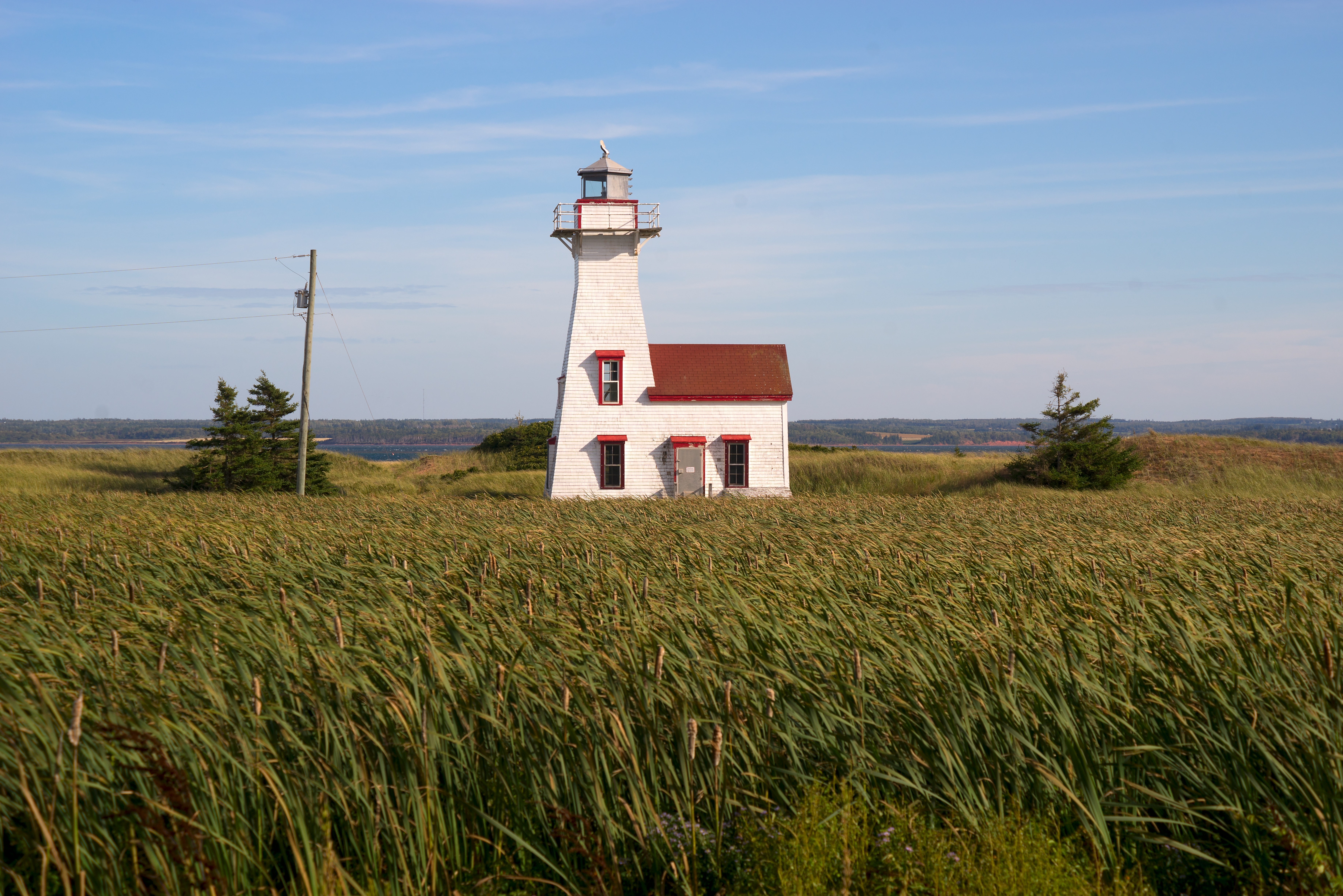
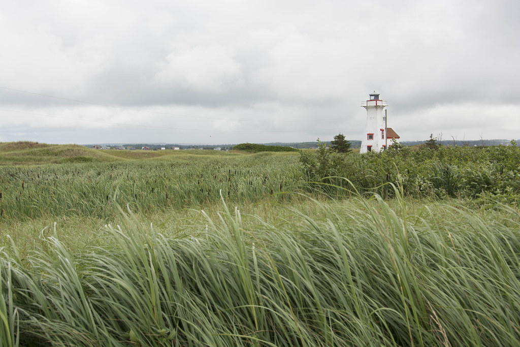
New London Range Rear Lighthouse
Along the River
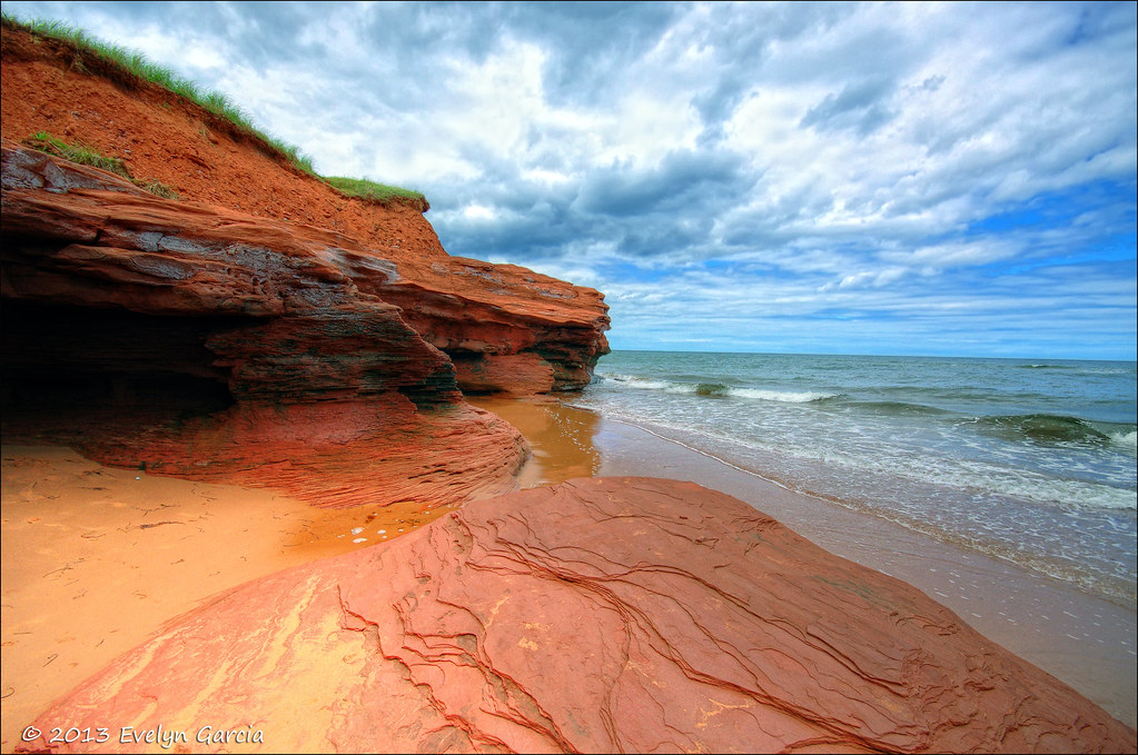
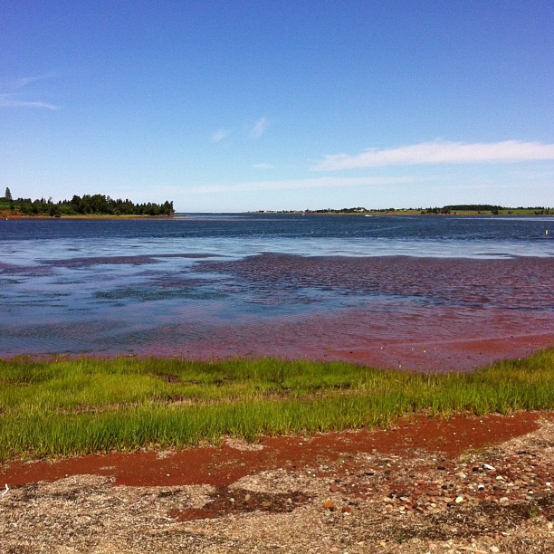
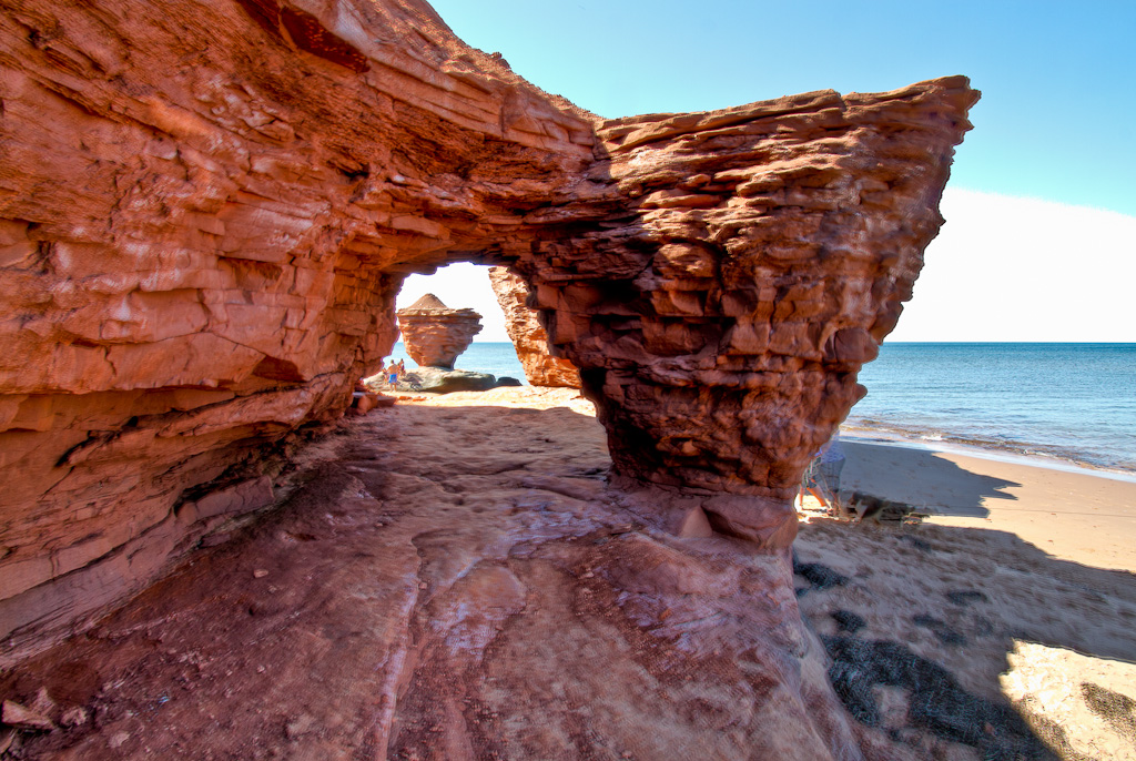
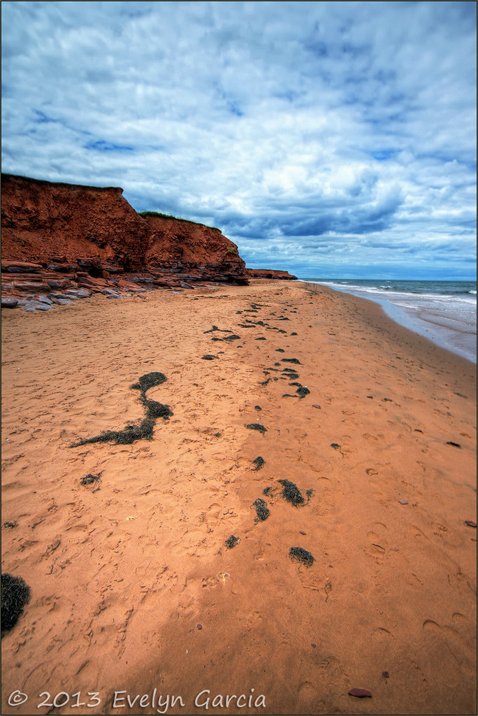
red sands of PEI.

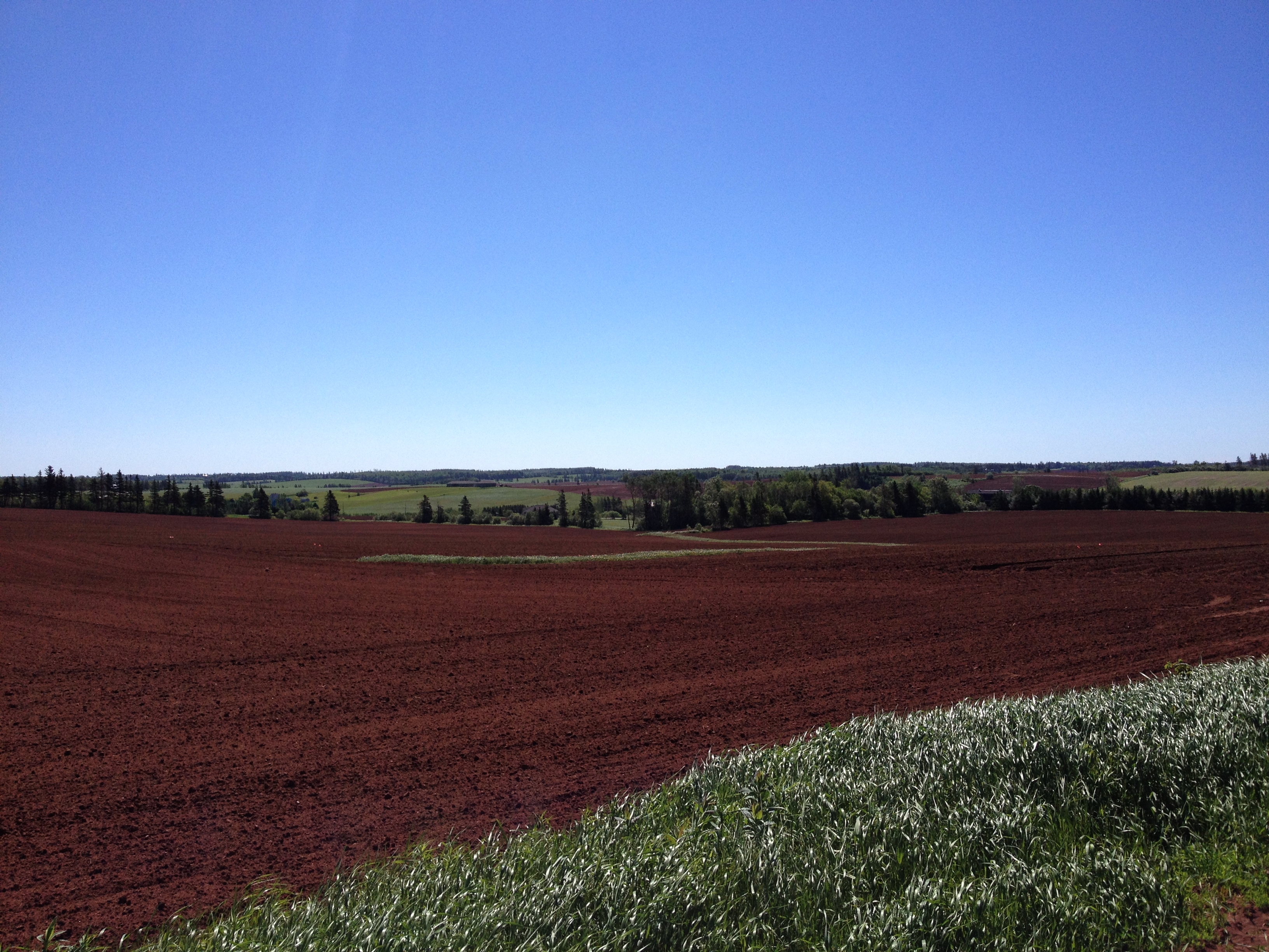
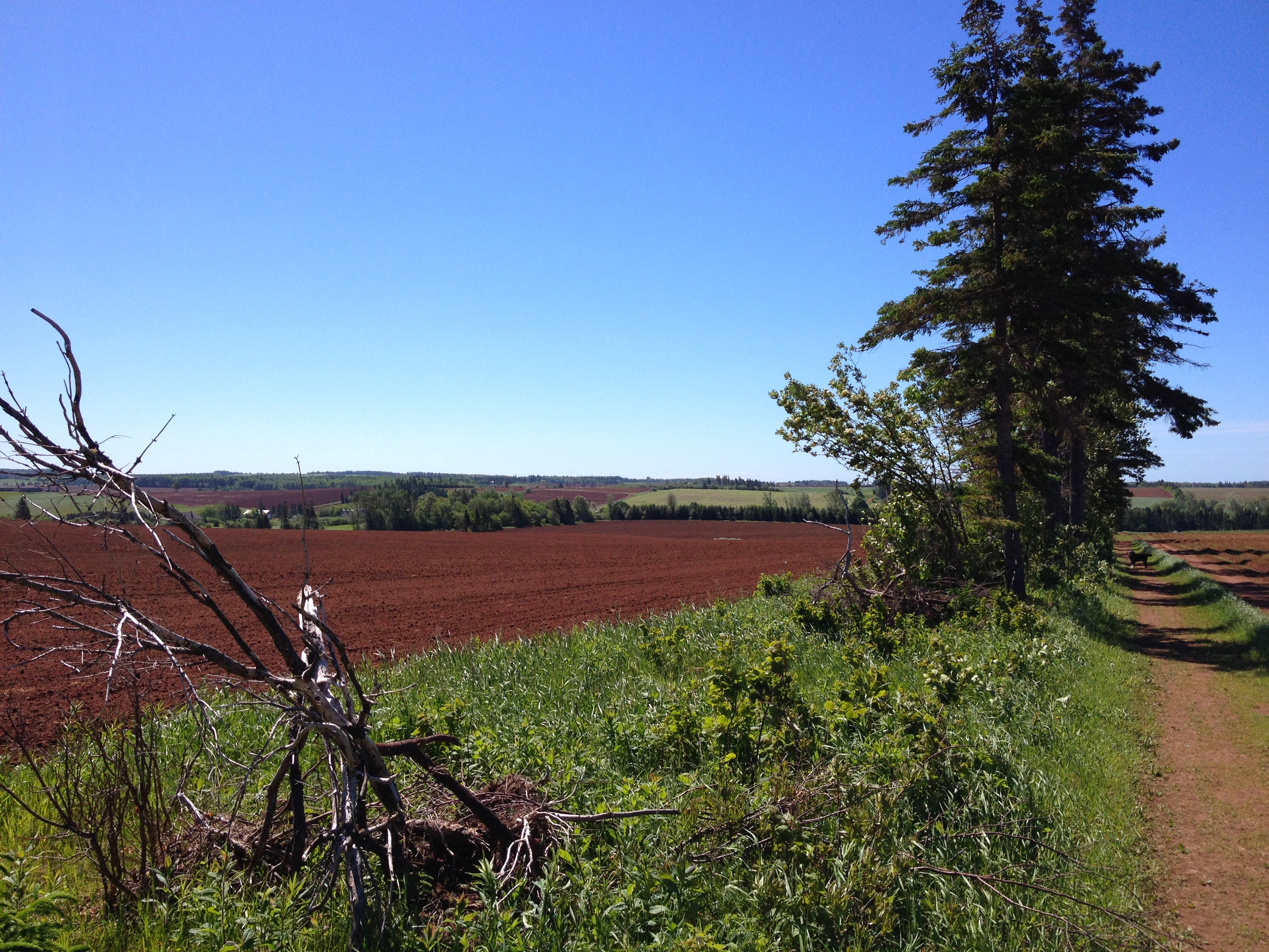
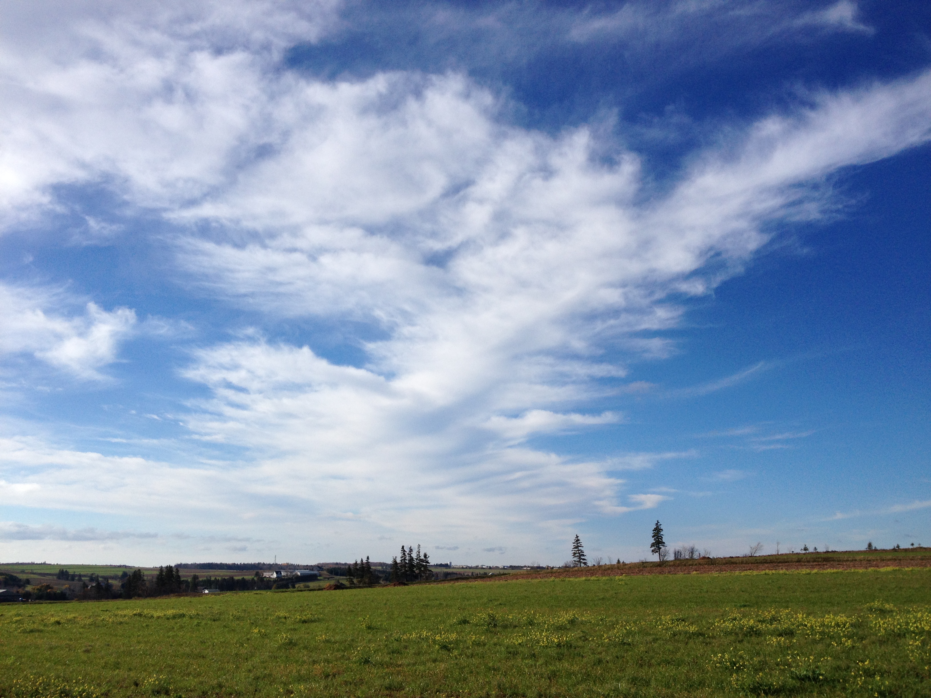
Field, near Kensington, PEI
phare de l'IPE

Cliffs at Old Cape Tryon Light

Spuds. #pei

New London Range Rear lighthouse
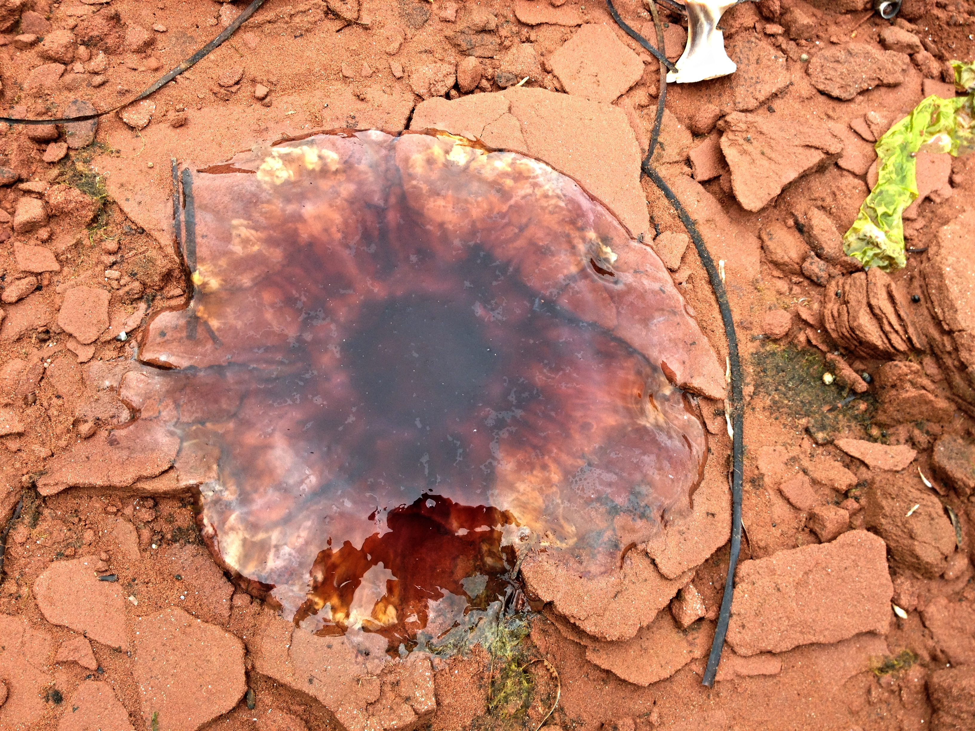
Dead jellyfish on the rocks.

The Old Barn
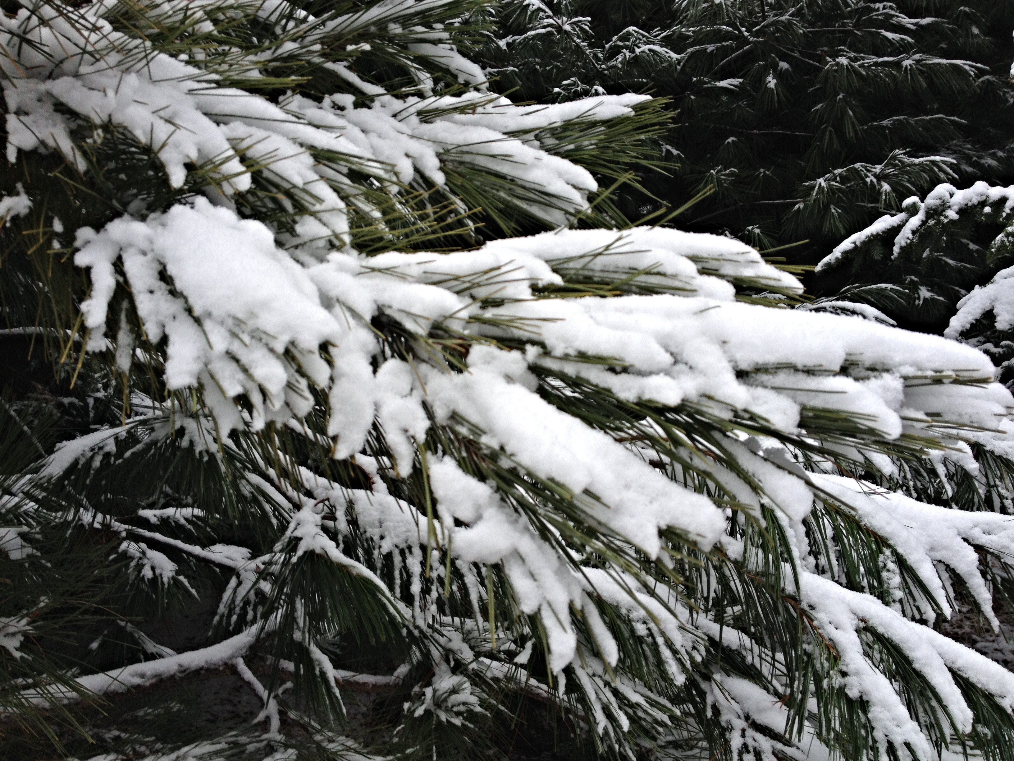
Snow on the pine branches.

Echoes of Summer (explored)
Walk this way.
Cabot Park Beach, Prince Edward Island

Fields of Yellow
One year of pictures 2014, no. 303: Pretty sky over the field behind Karen and Chris's house.
Topographic Map of Irishtown Rd, Kensington, PE C0B 1M0, Canada
Find elevation by address:

Places near Irishtown Rd, Kensington, PE C0B 1M0, Canada:
Irishtown Rd, Kensington, PE C0B 1M0, Canada
97 Thompson Point Rd
97 Thompson Point Rd
Lot 20
540 Pe-233
Kerrytown Rd, Kensington, PE C0B 1M0, Canada
268 Kelvin Rd
368 Kelvin Rd
Veteran's Memorial Hwy, Kensington, PE C0B 1M0, Canada
Cape Tryon Lighthouse
26 Straight Rd
Lot 21
808 Rattenbury Rd
Prince Edward Island
357 Graham's Ln
8863 Cavendish Rd
St Marys Rd, Lot 22, PE C0A, Canada
North Rustico
Cavendish Beach
3772 St Marys Rd
Recent Searches:
- Elevation of Corso Fratelli Cairoli, 35, Macerata MC, Italy
- Elevation of Tallevast Rd, Sarasota, FL, USA
- Elevation of 4th St E, Sonoma, CA, USA
- Elevation of Black Hollow Rd, Pennsdale, PA, USA
- Elevation of Oakland Ave, Williamsport, PA, USA
- Elevation of Pedrógão Grande, Portugal
- Elevation of Klee Dr, Martinsburg, WV, USA
- Elevation of Via Roma, Pieranica CR, Italy
- Elevation of Tavkvetili Mountain, Georgia
- Elevation of Hartfords Bluff Cir, Mt Pleasant, SC, USA