Elevation of Lost Valley Trailhead, Lost Valley Rd, Kingston, AR, USA
Location: United States > Arkansas > Newton County > Ponca Township >
Longitude: -93.374566
Latitude: 36.0101515
Elevation: 331m / 1086feet
Barometric Pressure: 97KPa
Elevation Map:
Satellite Map:
Related Photos:

Boxley Valley Along the Buffalo River
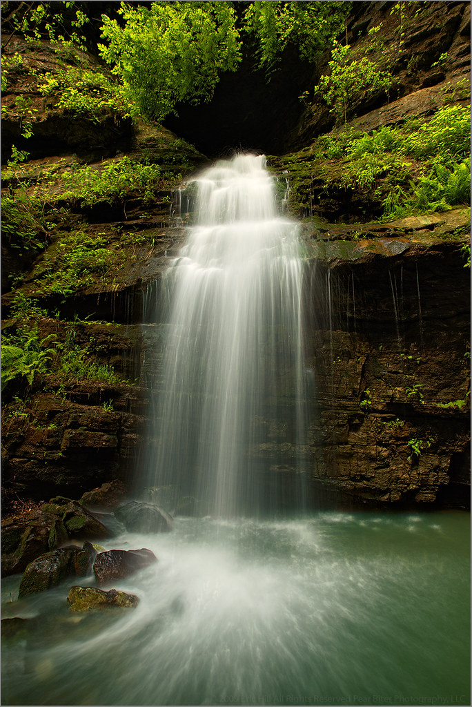
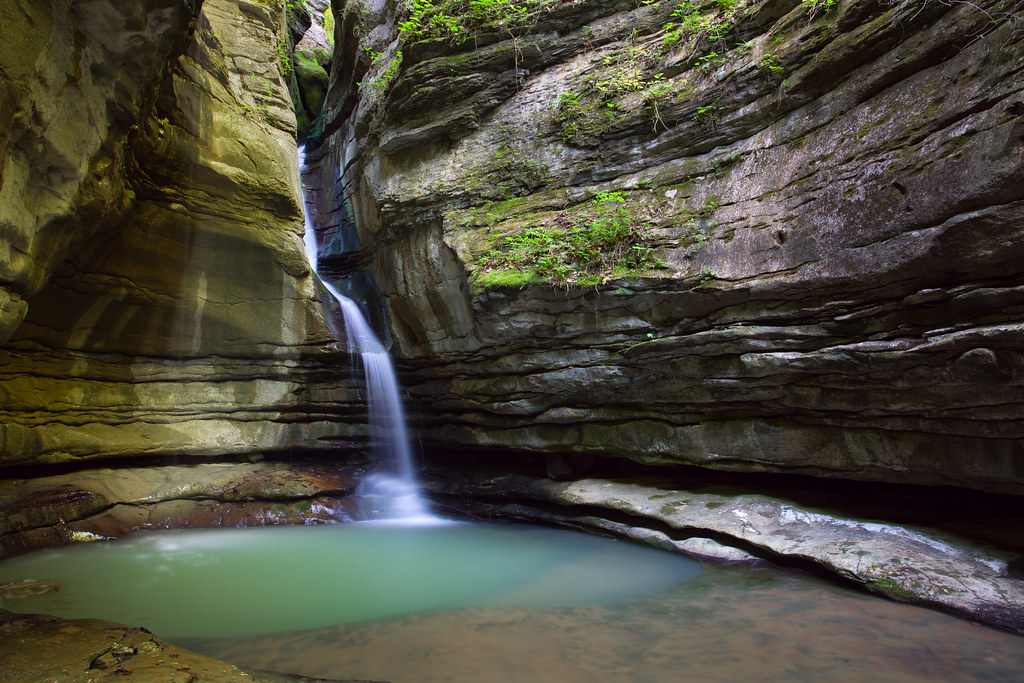
Tunnel Cave Falls

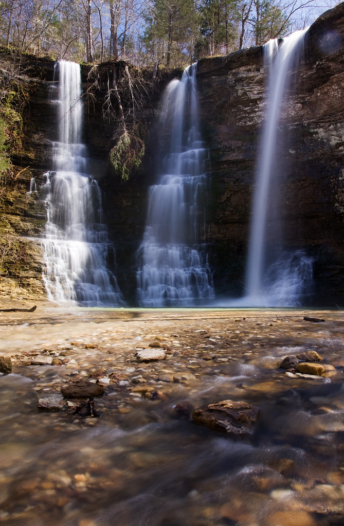
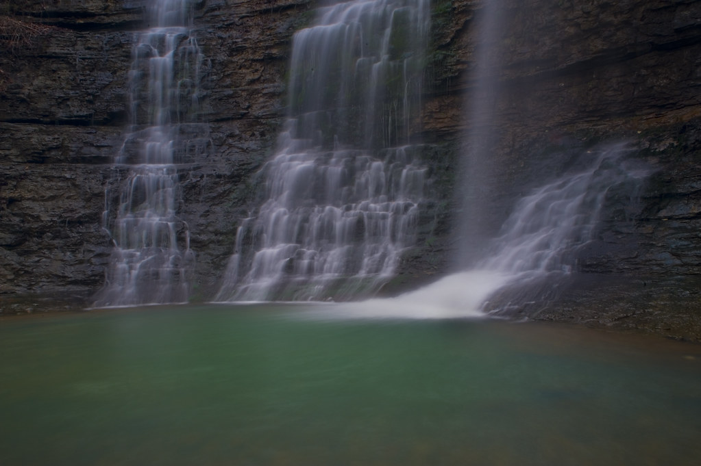
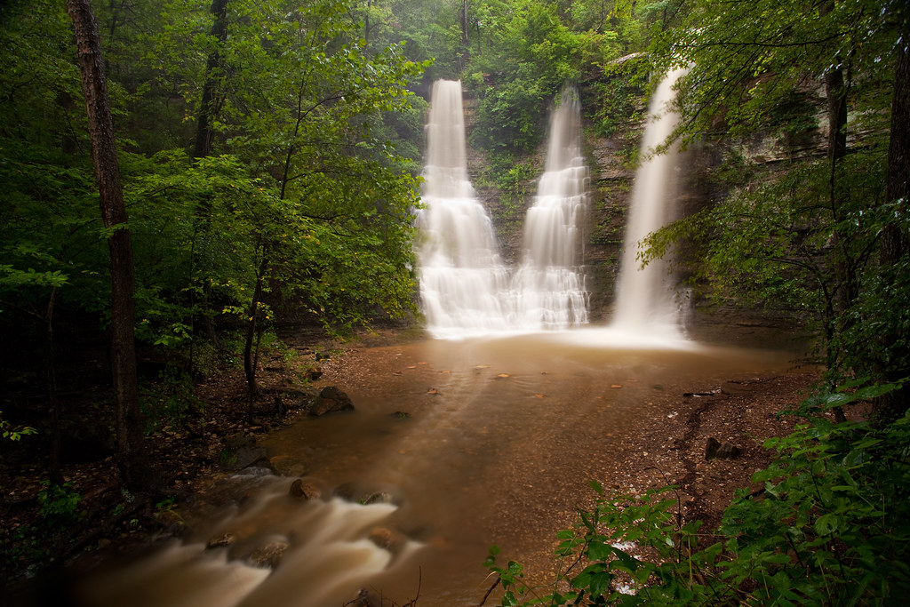
Triple Falls
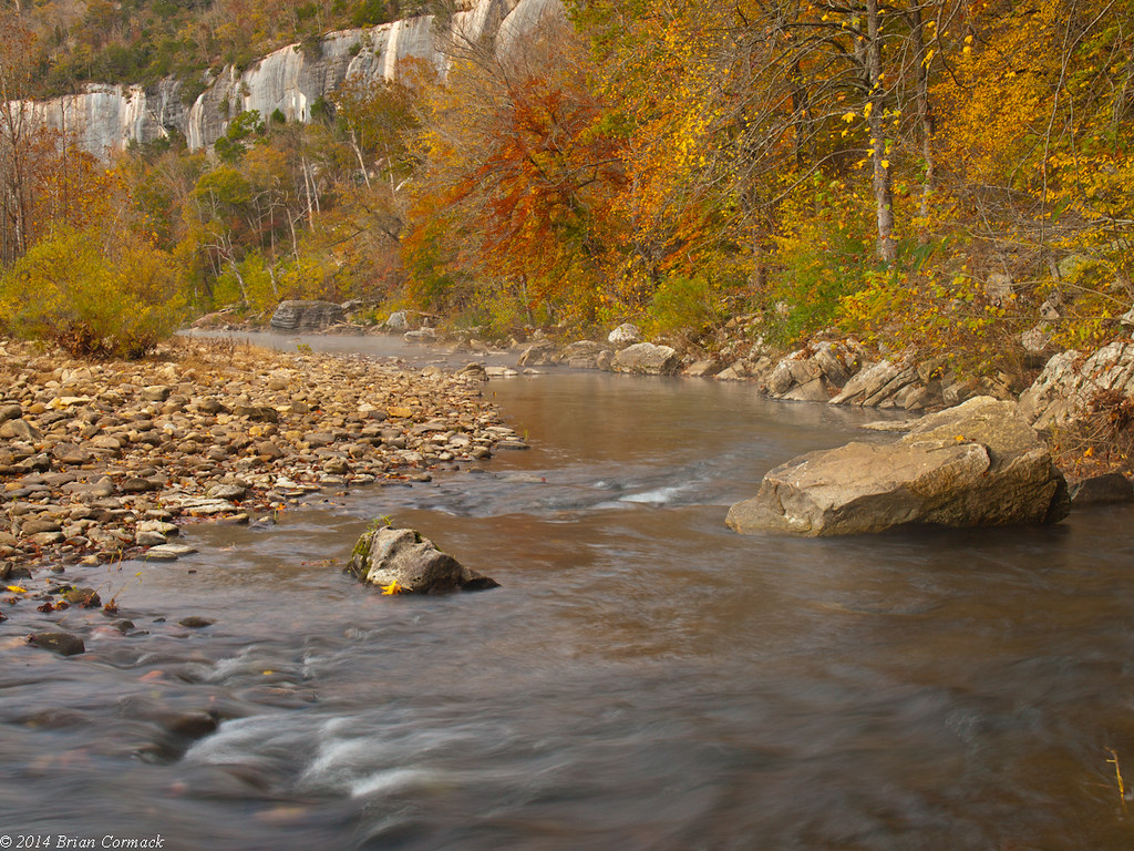
The Buffalo
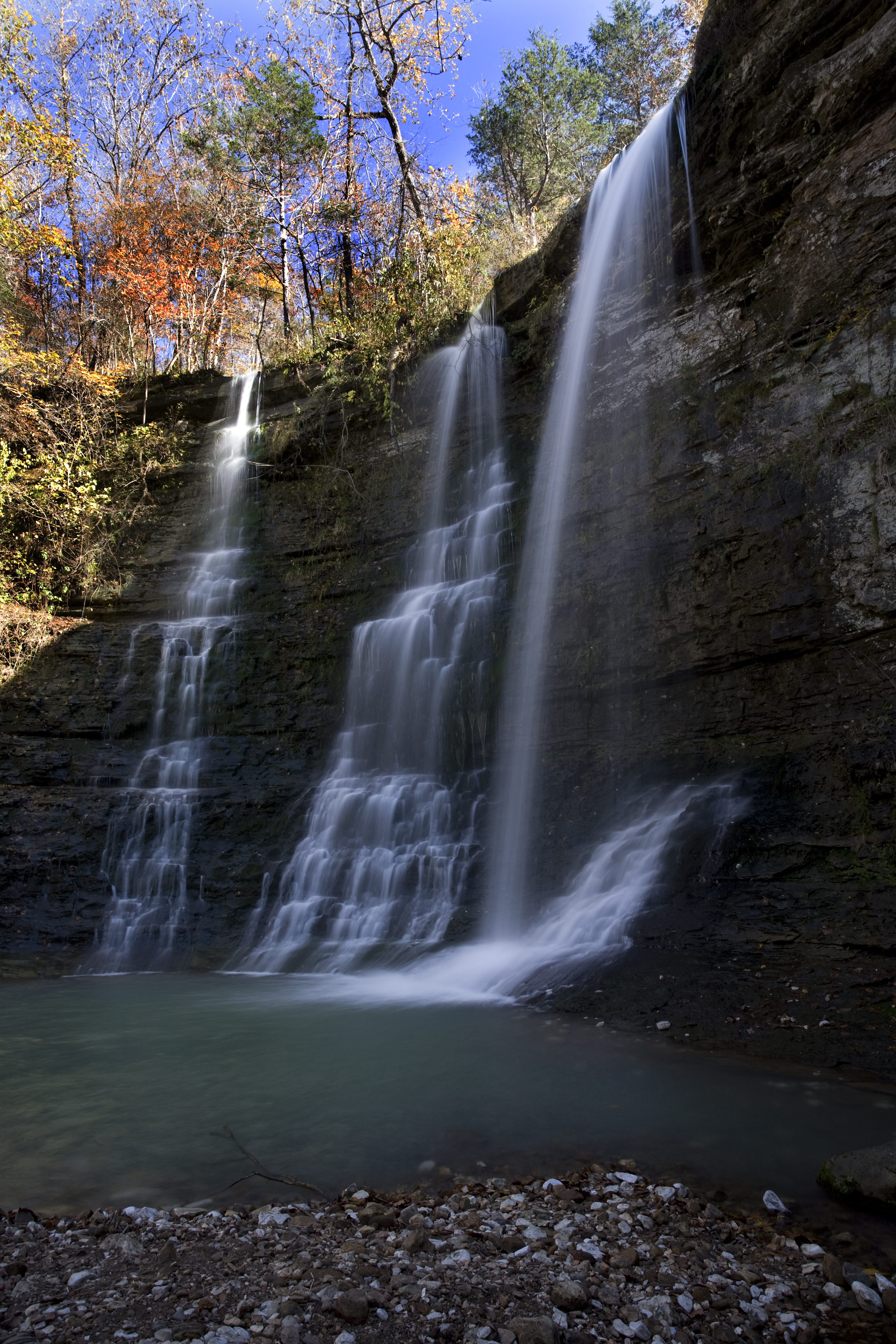
Triple Falls Perspective (Explored #474, 10/30/09)

Indian Creek Canyon Falls
Proposal Falls
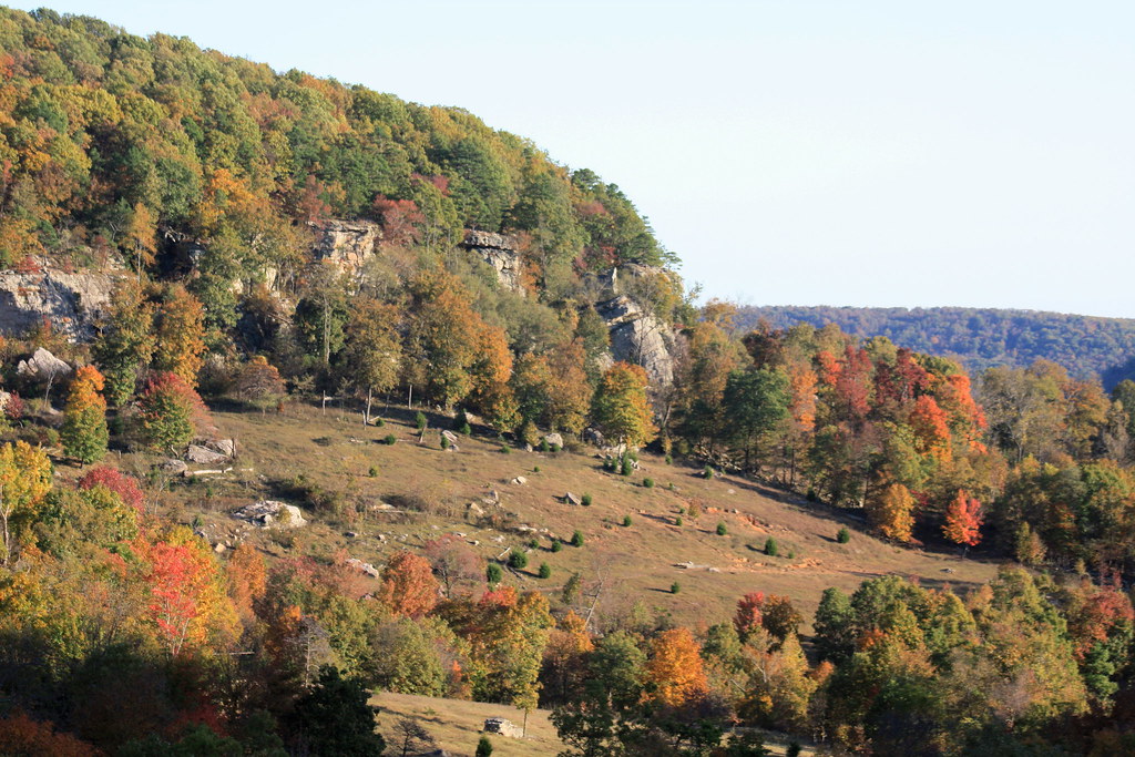
Rolling Fall Meadow
My view from the tallest bluff between the Appalachians and Rockies #vscocam
Copperhead Falls
Views Seen While Standing at Hawksbill Crag (Whitaker Point)
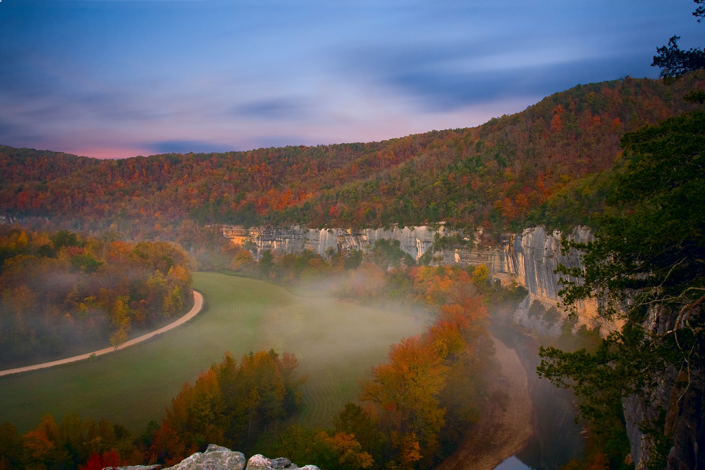
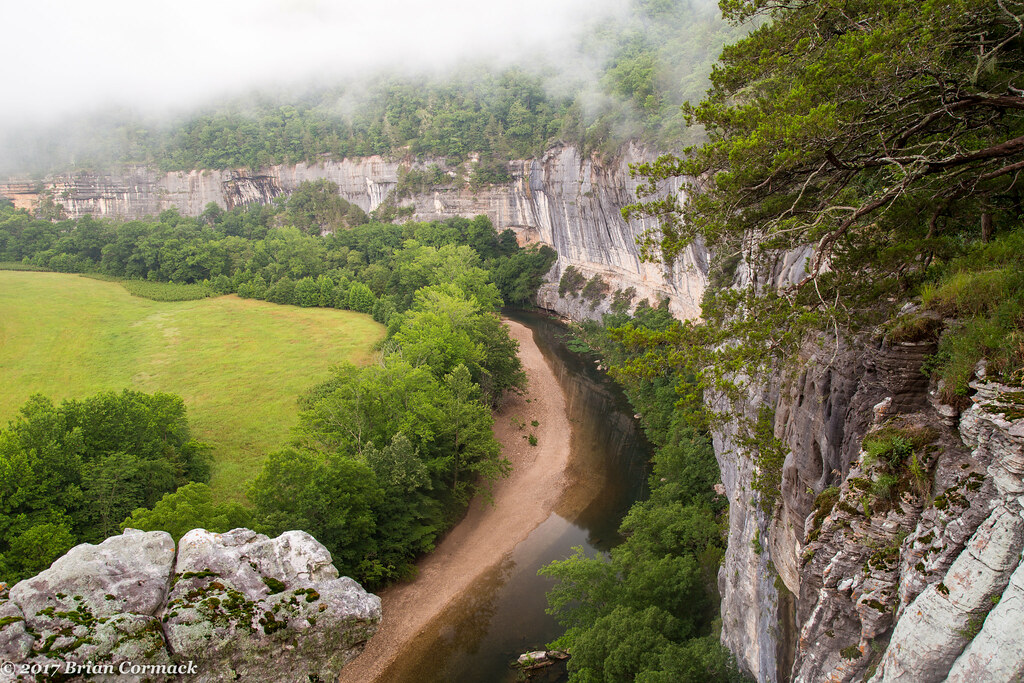
Bee Bluff and the Buffalo National River
White Water Rapids and the Blue Waters of the Buffalo National River

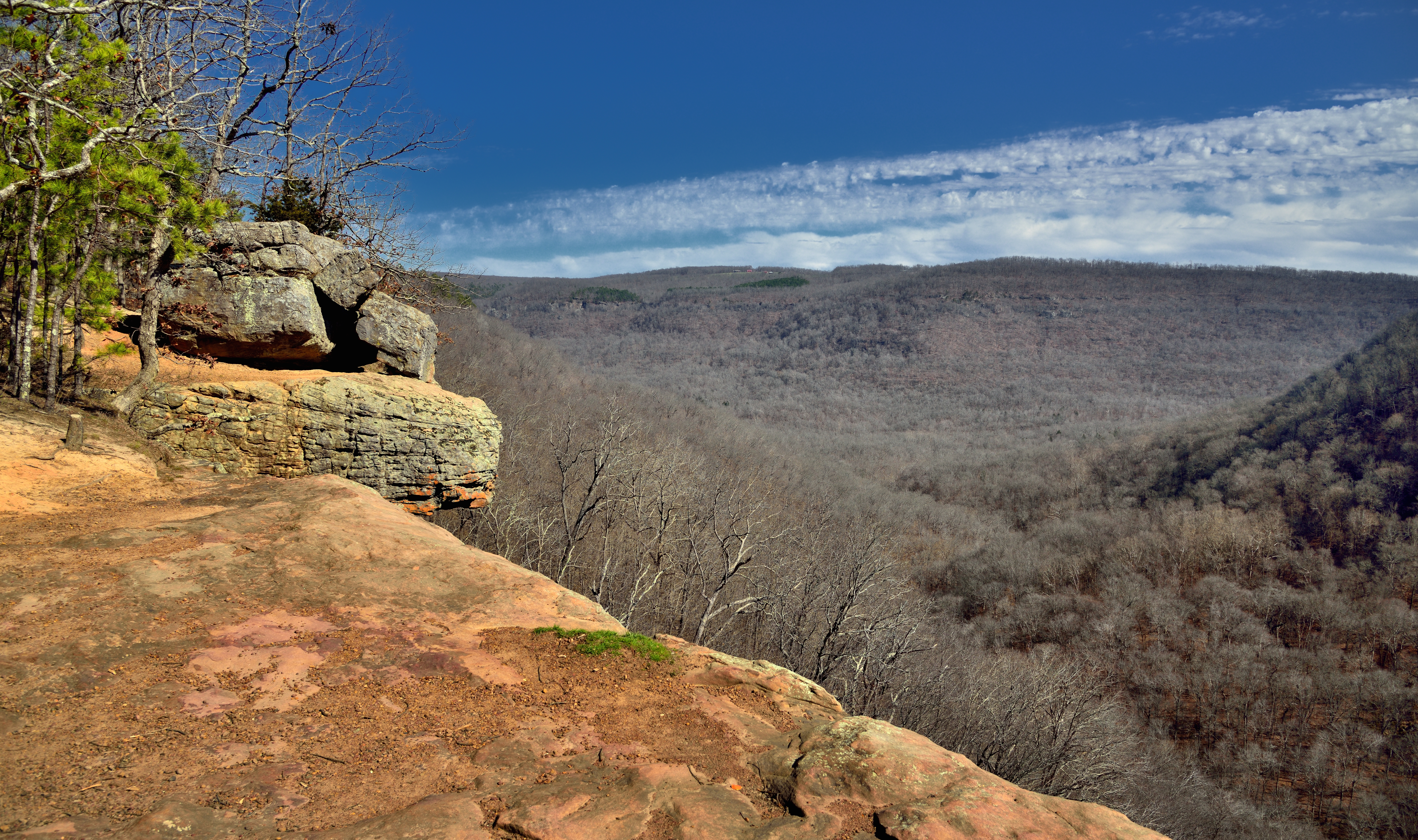
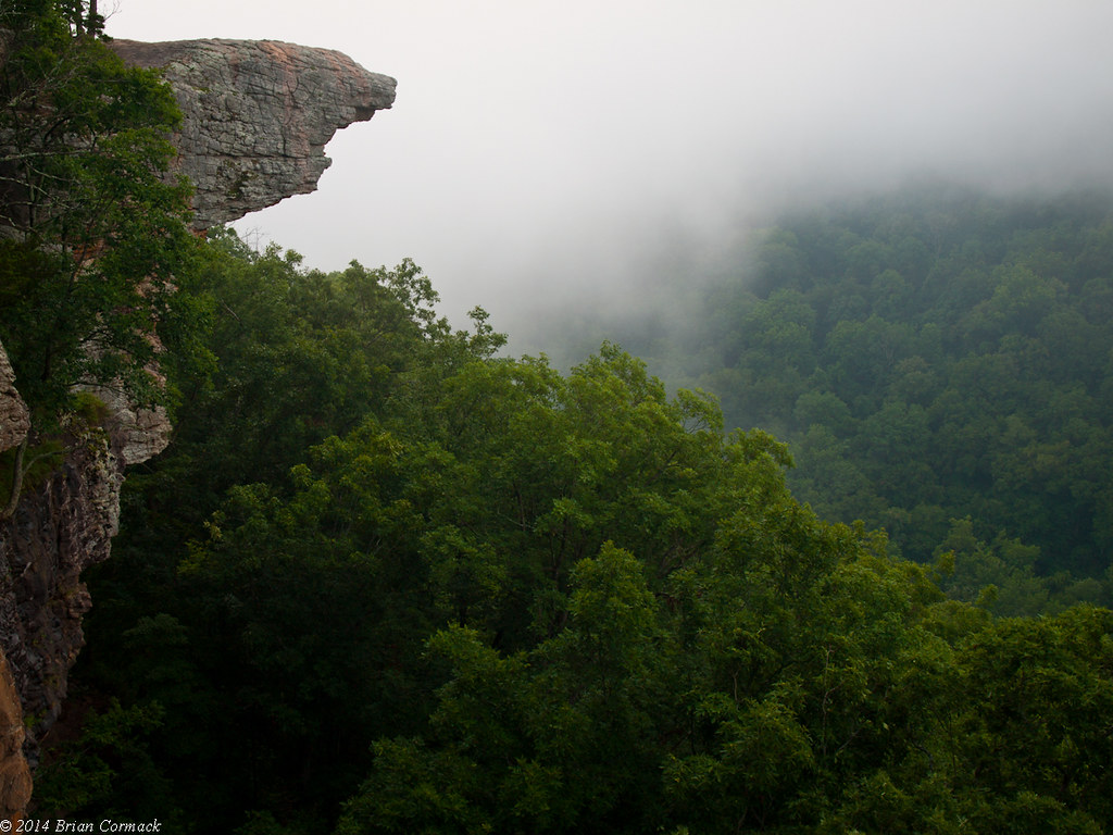
Hawksbill Crag (Whitaker Point)
Re-visiting Triple Falls
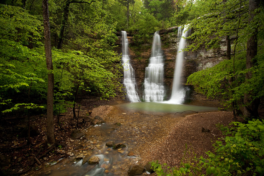
Twin Falls turned Triple
Goat Trail
Taking in the Buffalo River and a Surrounding Hillside of Trees (Buffalo National River)
Goat Trail Pan
Inconceivable beauty
Hawksbill Crag
And it's one more day up in the Cañon.
Triple Falls at the Bottom
Triple Falls
I'm glad this was never turned into a lake.

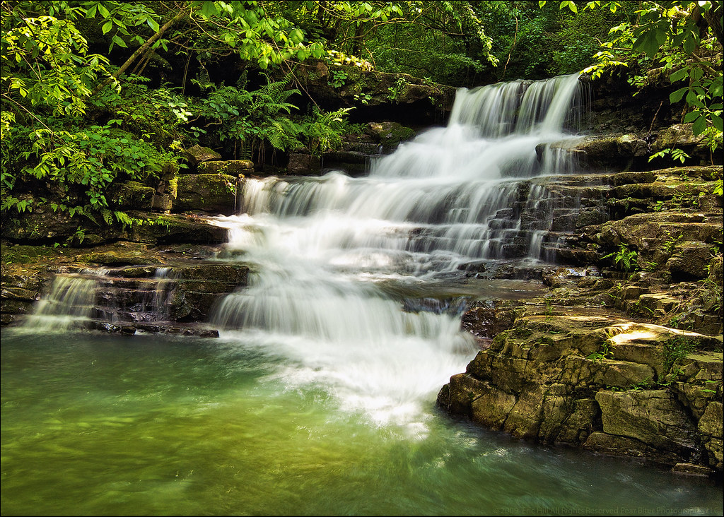
Moss Falls
An August rarity
Roark Bluff

"If you don't climb the mountain, you can't enjoy the view"
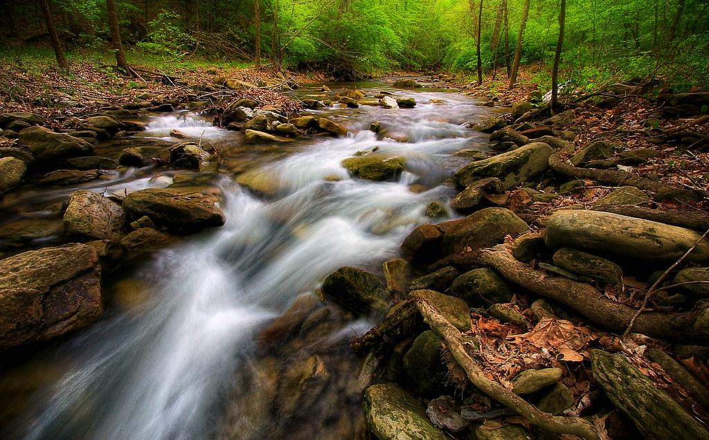
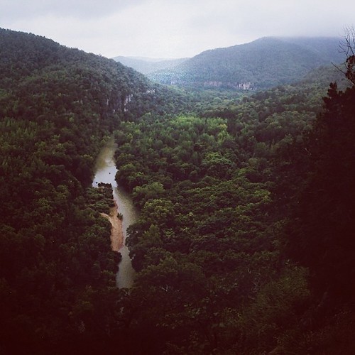
Smith Creek
Hawksbill Crag
Eden Falls
The Buffalo River and Some Nearby Hillsides of the Boston Mountains (Black & White)
A Focus on Hawksbill Crag
Topographic Map of Lost Valley Trailhead, Lost Valley Rd, Kingston, AR, USA
Find elevation by address:

Places near Lost Valley Trailhead, Lost Valley Rd, Kingston, AR, USA:
Wolf Springs Rd, Harrison, AR, USA
Ponca
Lost Valley Canoe & Lodging
Ponca Township
10 Green Oaks Pl, Kingston, AR, USA
Walker Mountain Road
Van Buren Township
Low Gap Cafe
Shiloh Mountain
Murray
Beckham Creek Cave House
Beckham Creek
Murray Road
County Road 3625
Jasper, AR, USA
Hudson Township
Parthenon
Kentucky Township
3159 Madison 3440
3159 Madison 3440 #1
Recent Searches:
- Elevation of Bydgoszcz, Poland
- Elevation of Bydgoszcz, Poland
- Elevation of Calais Dr, Del Mar, CA, USA
- Elevation of Placer Mine Ln, West Jordan, UT, USA
- Elevation of E 63rd St, New York, NY, USA
- Elevation of Elk City, OK, USA
- Elevation of Erika Dr, Windsor, CA, USA
- Elevation of Village Ln, Finleyville, PA, USA
- Elevation of 24 Oakland Rd #, Scotland, ON N0E 1R0, Canada
- Elevation of Deep Gap Farm Rd E, Mill Spring, NC, USA