Elevation of Longhorn Dr, Loyalton, CA, USA
Location: United States > California > Loyalton >
Longitude: -120.21786
Latitude: 39.641943
Elevation: 1575m / 5167feet
Barometric Pressure: 84KPa
Elevation Map:
Satellite Map:
Related Photos:
Fall In The Sierras 8618

Mountain Bluebird Juvenile - Multiple Views

Graves with a View
view from Sierra Hot Springs

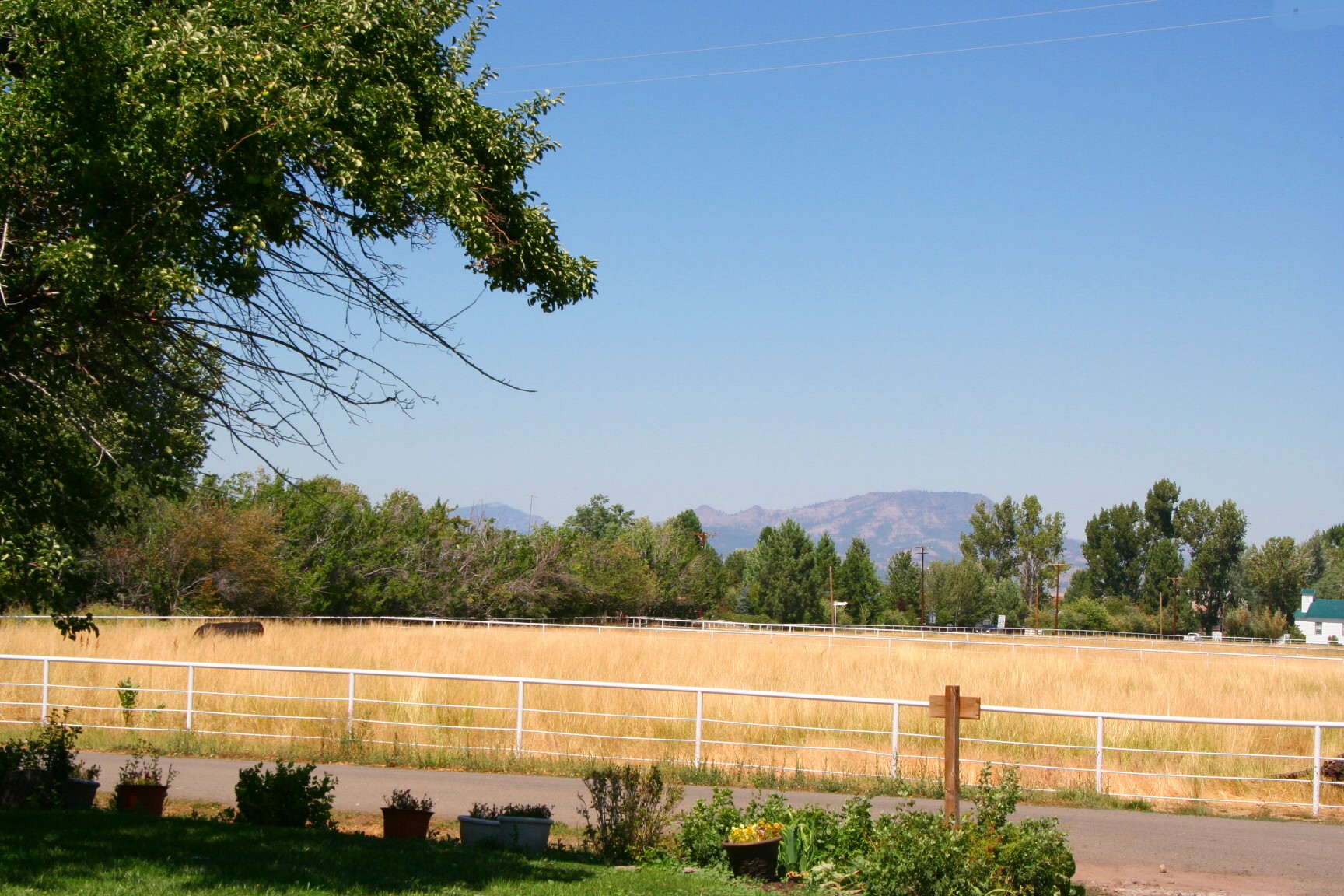
Bench With a View
front porch view
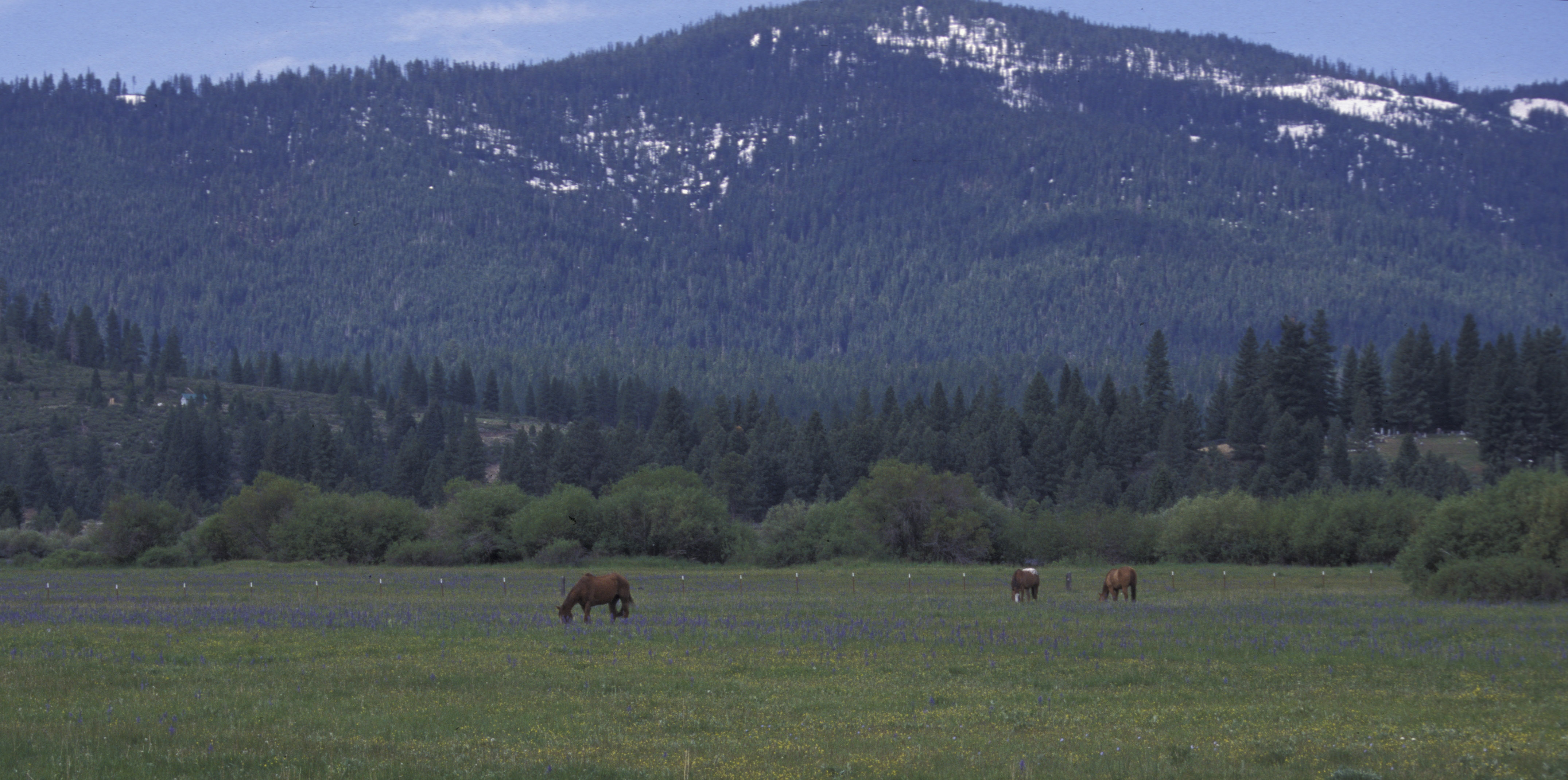
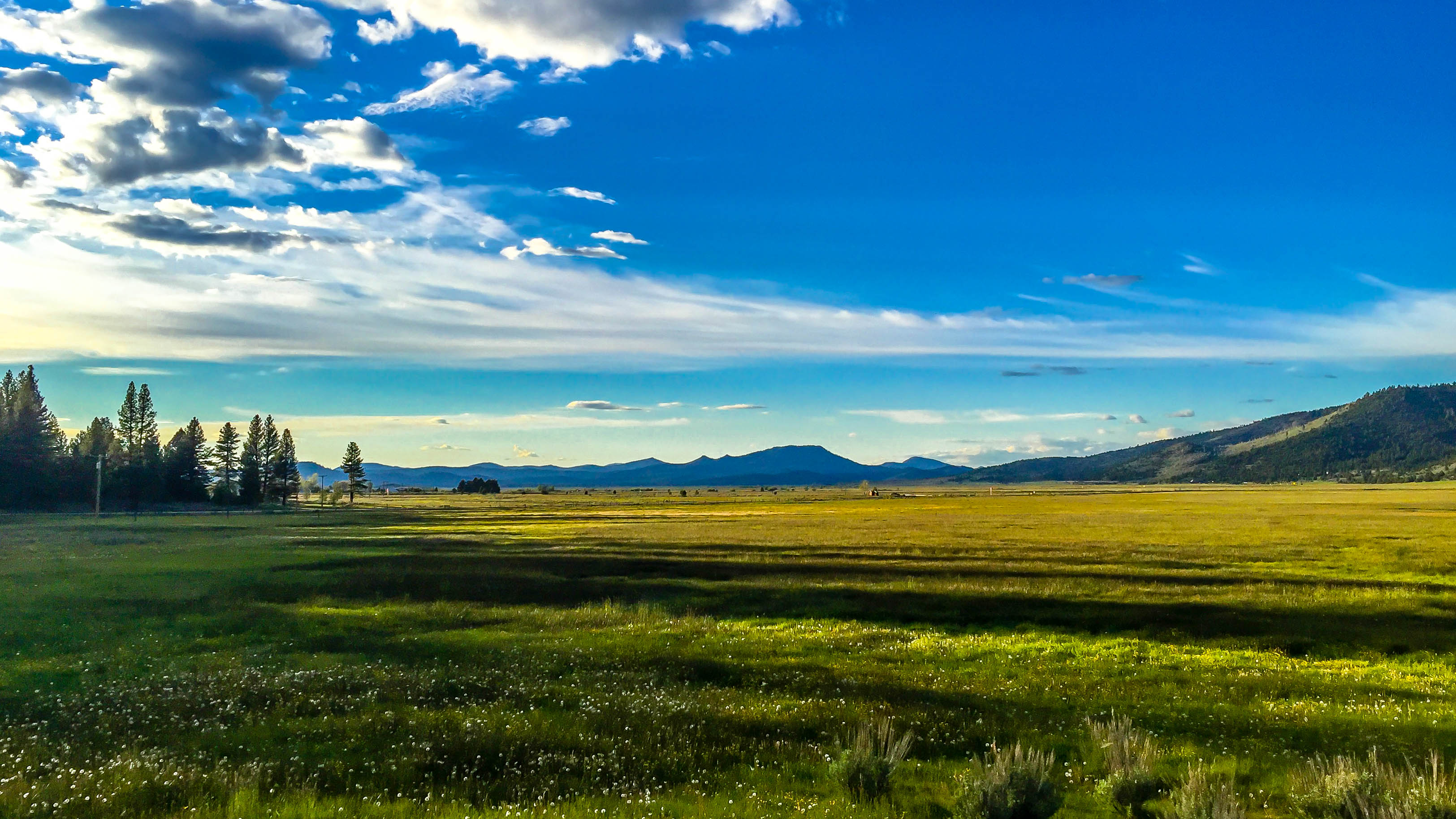
alpine meadow, horses, sierra valley, CA 1999_05_29.jpg
Crystal Mine View
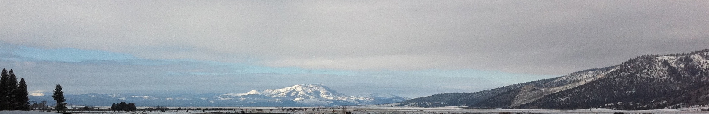
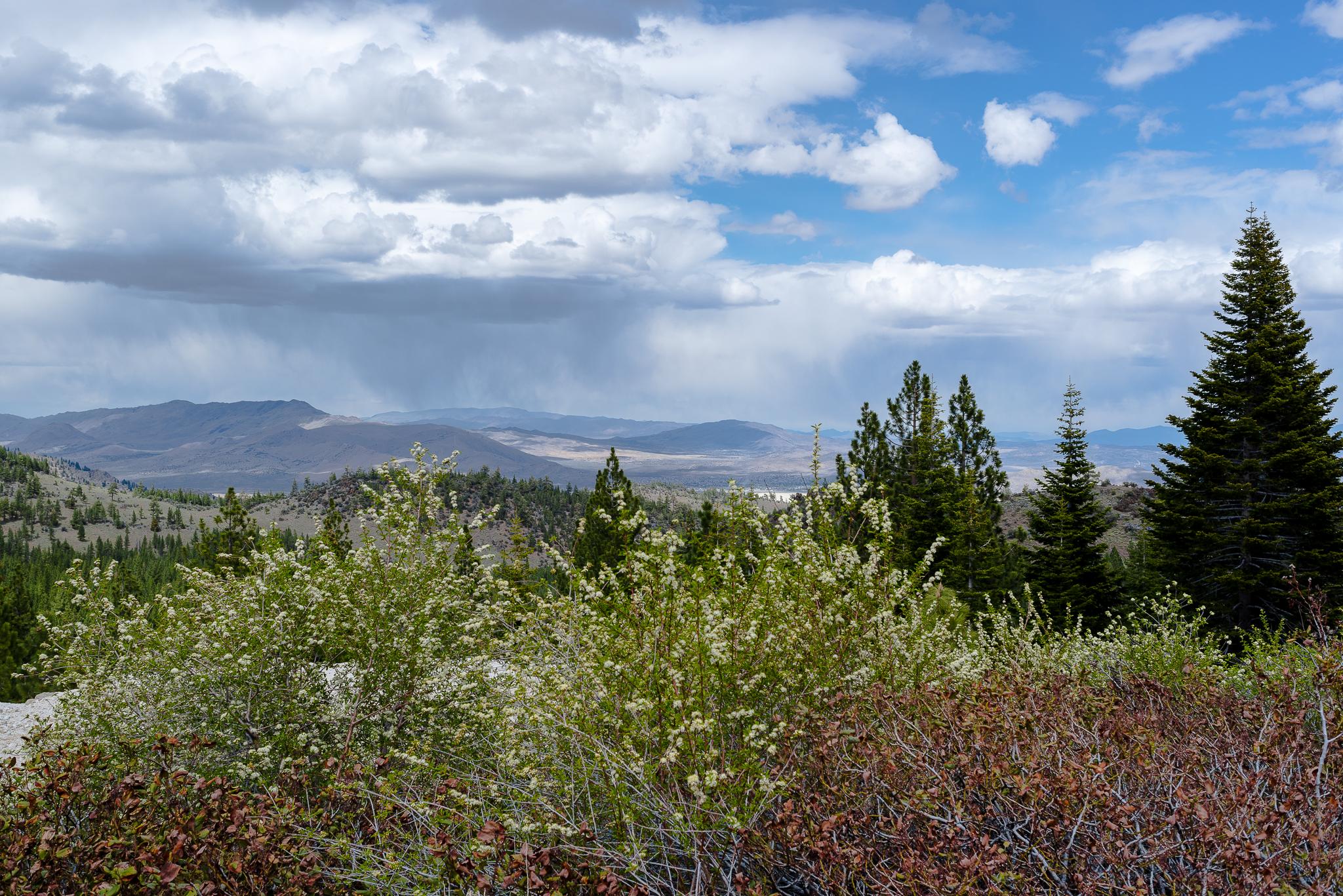
Sierraville Valley
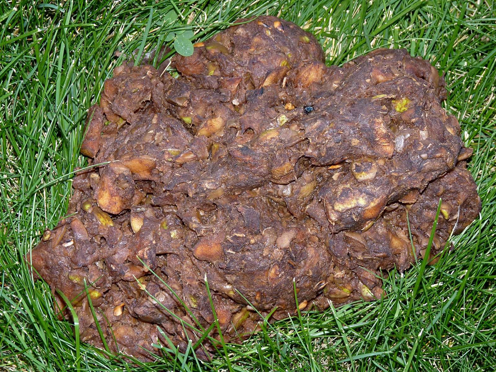
Black Bear Scat
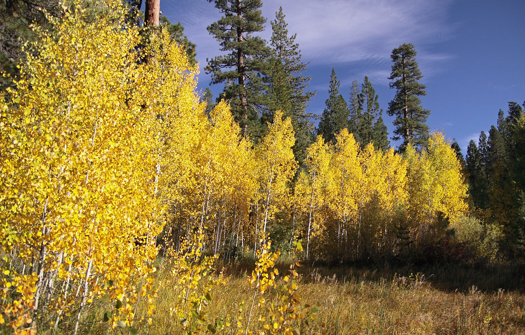
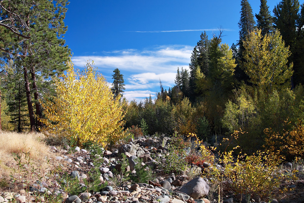
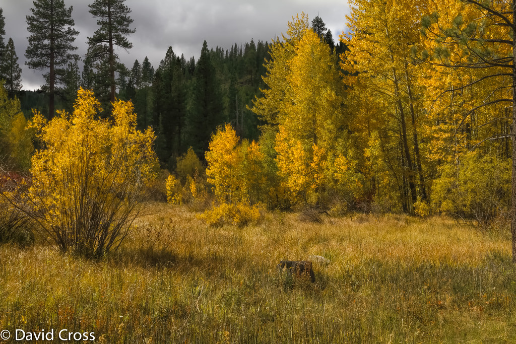
Young Aspen Grove In Full Color 4237
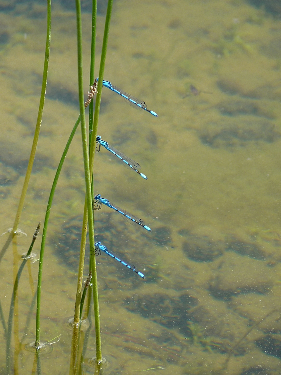
Stacked Bluets

Marsh Wren
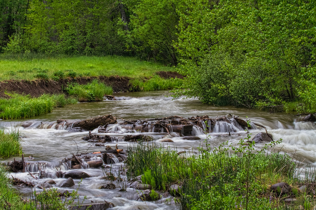
Cold Creek
Autumn Color Near Cold Creek
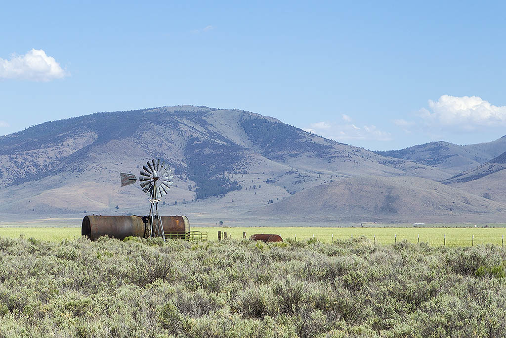
Aermotor Windmill

A happy place in the mountains.
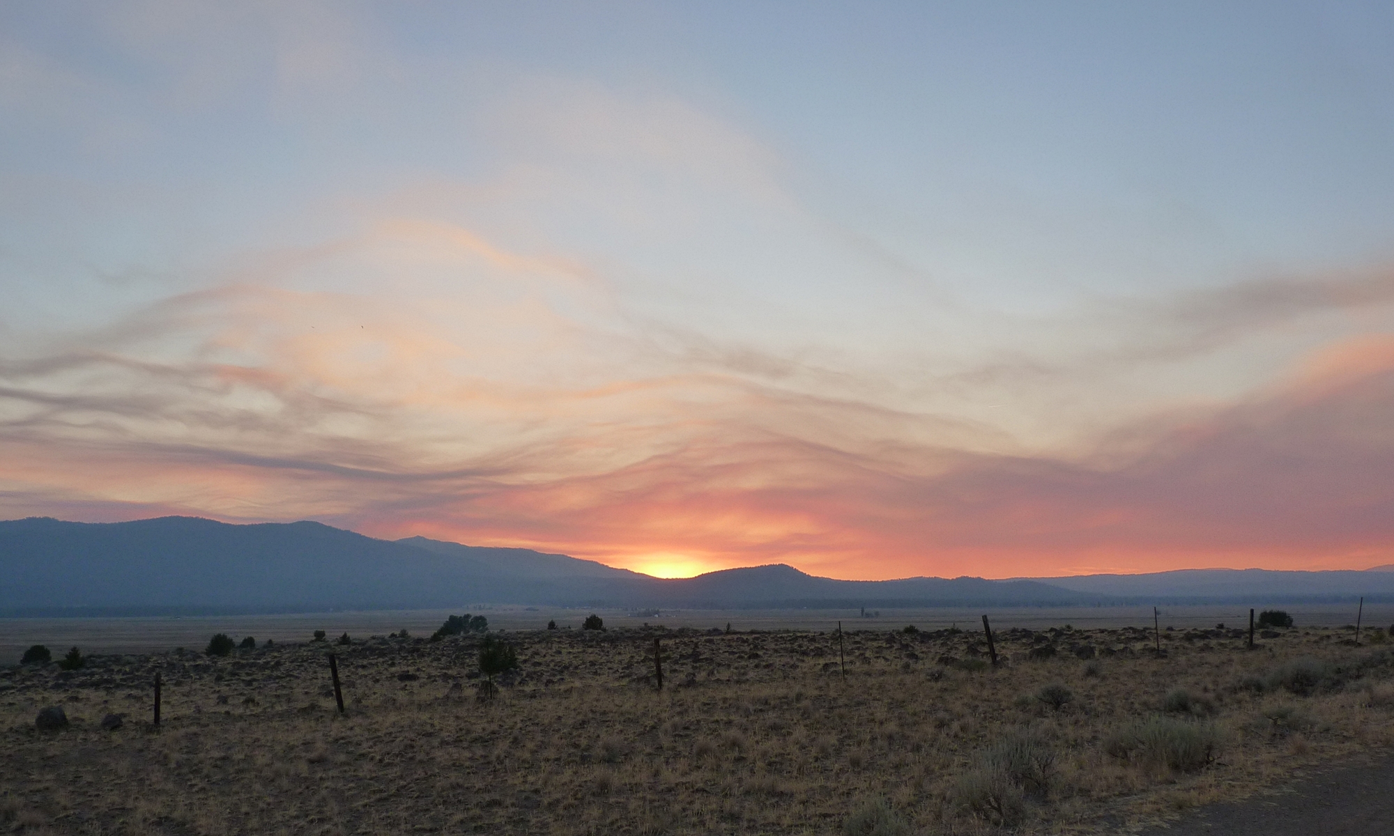
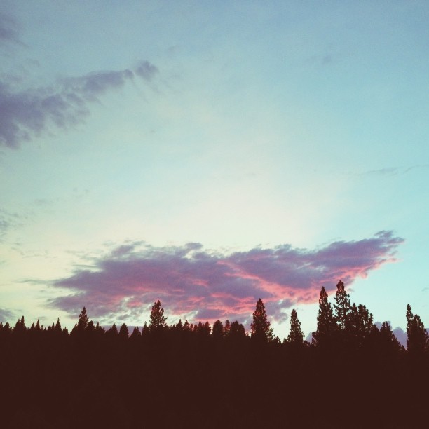
Smoky Sunset

photo_by_kai_gradert-5311.jpg
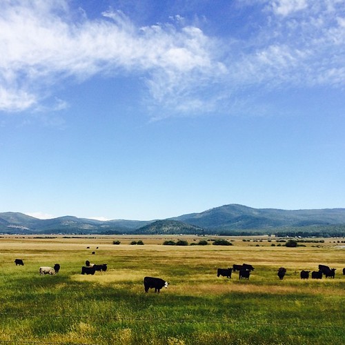
Sierraville, CA. #roadtrip #california #adventureyear2014 #traveling #mountains #clouds #cows
Sierra Valley Cattle Ranch
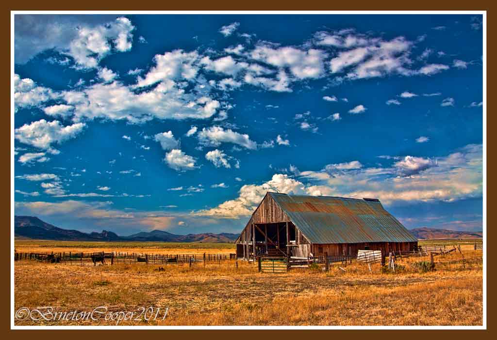
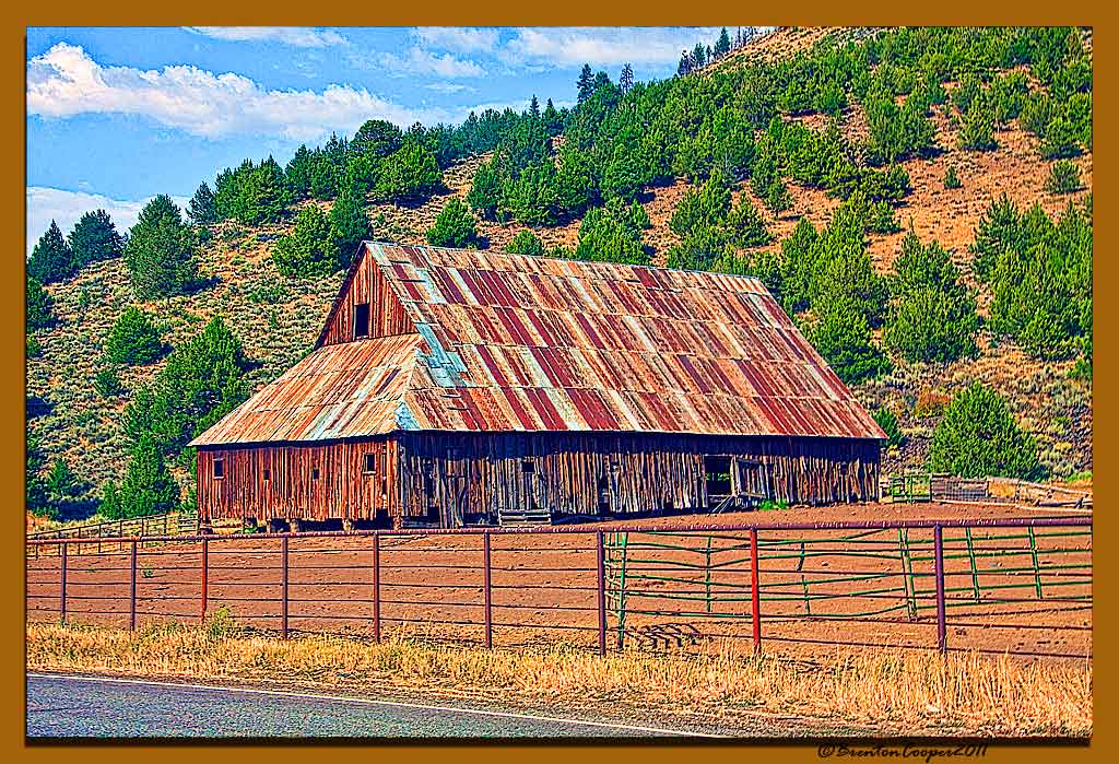
Sierra Valley Cattle Ranch Barn(HDR)

photo_by_kai_gradert-5255.jpg

photo_by_kai_gradert-4524.jpg
last night's sunset on our way to the temple pool #sunset #sky #skyline #trees #pines #pink #hotsprings #sierrahotsprings #clouds #camping #adventures

XS-KyburzFlats-20060304-125754

20131103-_MG_0188_kaigradert
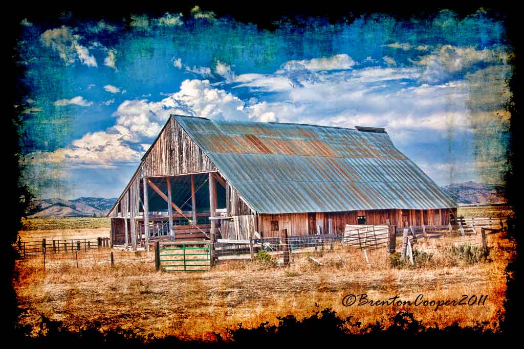
Barn Near Sierraville # 4
Topographic Map of Longhorn Dr, Loyalton, CA, USA
Find elevation by address:

Places near Longhorn Dr, Loyalton, CA, USA:
Babbitt Peak
22000 N Virginia St
18121 Lake Hills Ct
Cold Springs
Goldfinch Dr, Reno, NV, USA
17745 Davenport Ln
18295 Dustin Ct
18528 Mountain Ash Court
18431 Datewood Ct
18542 Outpost Ct
18500 Outpost Ct
10905 Abilene Dr
11055 Wagon Ho Ln
10600 Whitehawk Dr
12012 N Red Rock Rd
8750 Little Creek Rd
8055 White Falls Dr
7944 Moss Creek Dr
8697 Silver Shores Dr
10165 Manassas Dr
Recent Searches:
- Elevation of Estates Loop, Priest River, ID, USA
- Elevation of Woodland Oak Pl, Thousand Oaks, CA, USA
- Elevation of Brownsdale Rd, Renfrew, PA, USA
- Elevation of Corcoran Ln, Suffolk, VA, USA
- Elevation of Mamala II, Sariaya, Quezon, Philippines
- Elevation of Sarangdanda, Nepal
- Elevation of 7 Waterfall Way, Tomball, TX, USA
- Elevation of SW 57th Ave, Portland, OR, USA
- Elevation of Crocker Dr, Vacaville, CA, USA
- Elevation of Pu Ngaol Community Meeting Hall, HWHM+3X7, Krong Saen Monourom, Cambodia