Elevation of Datewood Ct, Reno, NV, USA
Longitude: -119.96404
Latitude: 39.6894488
Elevation: 1555m / 5102feet
Barometric Pressure: 84KPa
Elevation Map:
Satellite Map:
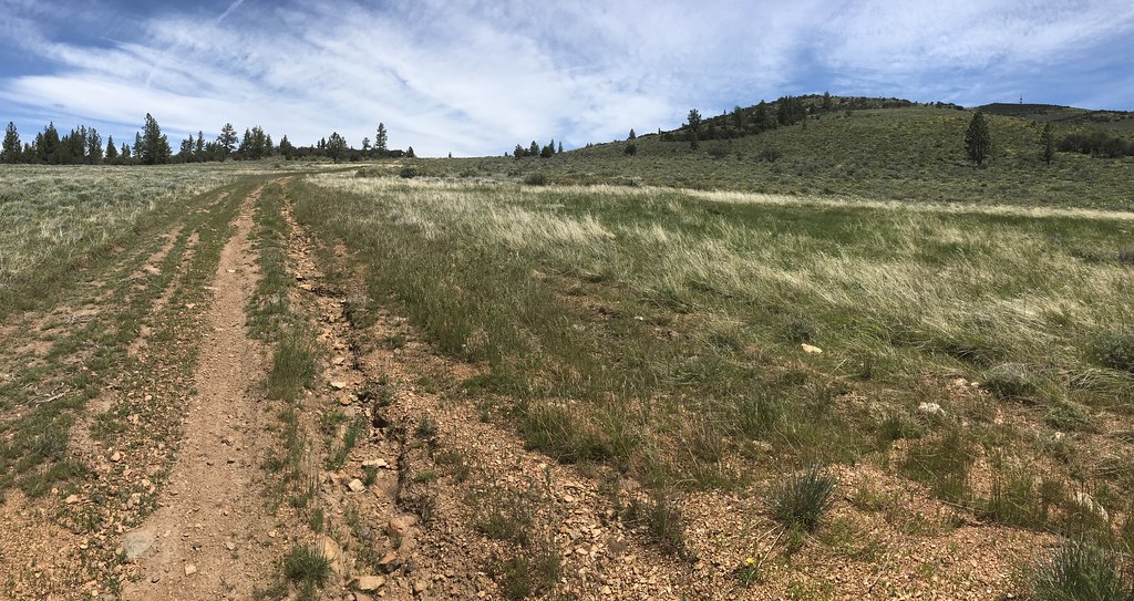
Related Photos:

Greater Roadrunner, adult (Geococcyx californianus)

Reno Air Races 2013 - Hawker Sea Fury FB.11 "Sawbones"; N71GB

Cloudy Night Sky

Reno Air Races 2014 - Gee Bee Super Q.E.D. II

Three Jeeps

Welcome to Nevada!

Hallelujah Junction California sagebrush steppe

Reno Air Races 2009 - North American P-51D-20NT Mustang Race #7 "Strega"

Stead airport from above

Reno Air Races

Obstructed View

Jeeps near the summit

2nd view, camera turned to the right from prior photo. P1000723

Greater Roadrunner (Geococcyx californianus)

View from proximity of geocache while up on the rock structure. I wish I'd thought to take a panoramic shot of the views from Tough Kidss Only geocache. P1000722

View from Pipe Dream geocache. P1000740

Greater Roadrunner (Geococcyx californianus)

Another view of the 4 Deer, only 2 are looking at Me. P1000735

3rd view, camera turned further right from prior photo. P1000724

Panoramic View of Y Junction. I'll take the "trail" that continues to the left. This is as far as the road goes. The rock structure in the background with a cloud behind it is where I'm headed. P1000717

Chubby-wubby

Swan Lake

Crop From Djinn Valley Rainbow

Peavine Peak

T-6 Gold race finish

Spare Tire Inlet

Peavine Peak

Peavine Peak

Peavine Peak

T-6 class Gold Race-- Reno

Sun Rays

AT-6C 'Abracadabra'

Snag Camp

Snow dog

Sun peeking through some pine trees

Keep out of the lake

Peavine Peak in B&W

Storm coming

Hallelujah Junction
Peavine Peak

Moon setting in a smokey sky

Logging in Plumas County
Topographic Map of Datewood Ct, Reno, NV, USA
Find elevation by address:

Places near Datewood Ct, Reno, NV, USA:
18295 Dustin Ct
18542 Outpost Ct
18500 Outpost Ct
18528 Mountain Ash Court
17745 Davenport Ln
Goldfinch Dr, Reno, NV, USA
Cold Springs
18121 Lake Hills Ct
22000 N Virginia St
10905 Abilene Dr
12012 N Red Rock Rd
10600 Whitehawk Dr
10165 Manassas Dr
11055 Wagon Ho Ln
8750 Little Creek Rd
11020 Osage Rd
12880 Moya Blvd
8055 White Falls Dr
7944 Moss Creek Dr
8697 Silver Shores Dr
Recent Searches:
- Elevation of Shibuya Scramble Crossing, 21 Udagawacho, Shibuya City, Tokyo -, Japan
- Elevation of Jadagoniai, Kaunas District Municipality, Lithuania
- Elevation of Pagonija rock, Kranto 7-oji g. 8"N, Kaunas, Lithuania
- Elevation of Co Rd 87, Jamestown, CO, USA
- Elevation of Tenjo, Cundinamarca, Colombia
- Elevation of Côte-des-Neiges, Montreal, QC H4A 3J6, Canada
- Elevation of Bobcat Dr, Helena, MT, USA
- Elevation of Zu den Ihlowbergen, Althüttendorf, Germany
- Elevation of Badaber, Peshawar, Khyber Pakhtunkhwa, Pakistan
- Elevation of SE Heron Loop, Lincoln City, OR, USA