Elevation of Long County, GA, USA
Location: United States > Georgia >
Longitude: -81.822436
Latitude: 31.7755541
Elevation: 23m / 75feet
Barometric Pressure: 101KPa
Elevation Map:
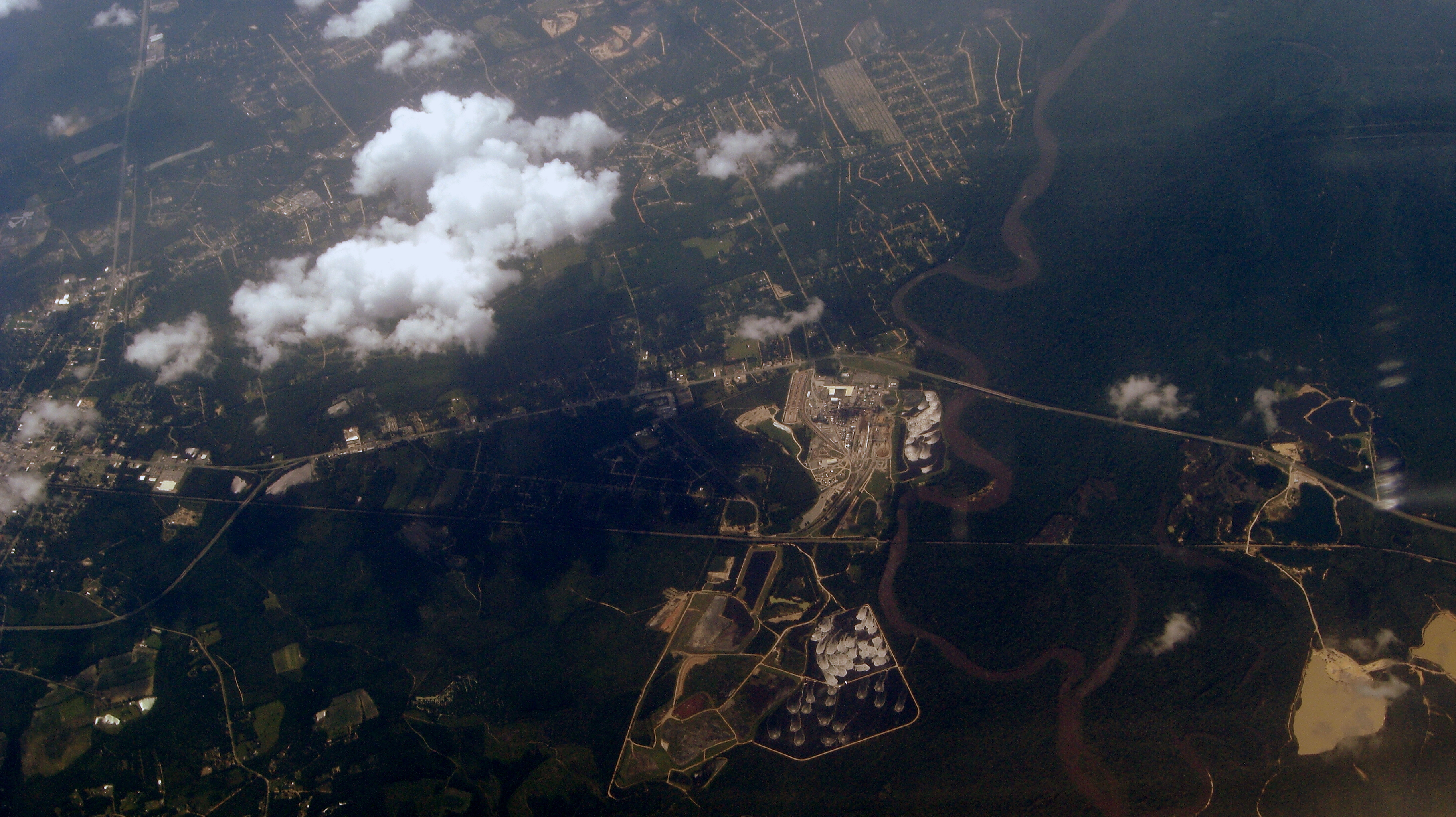
Satellite Map:
Related Photos:
World's largest jellyfish breeding tanks
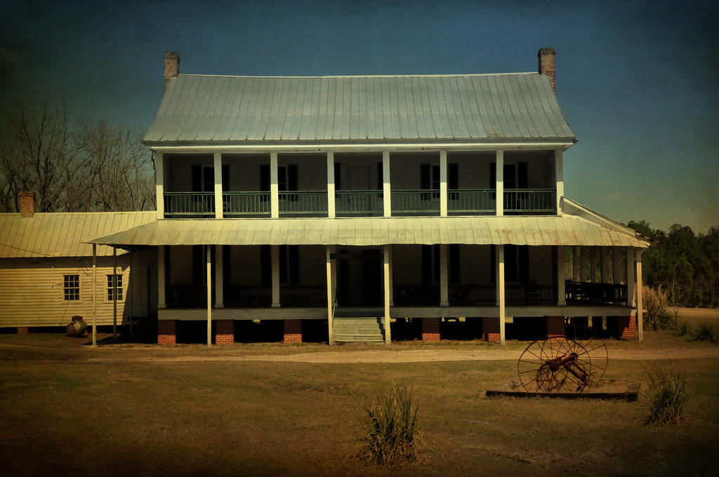
Hendley Foxworth Horne House, 1859
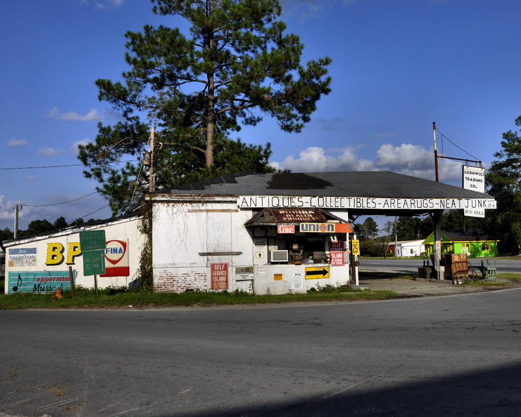
Ludowici Trading Company, side view
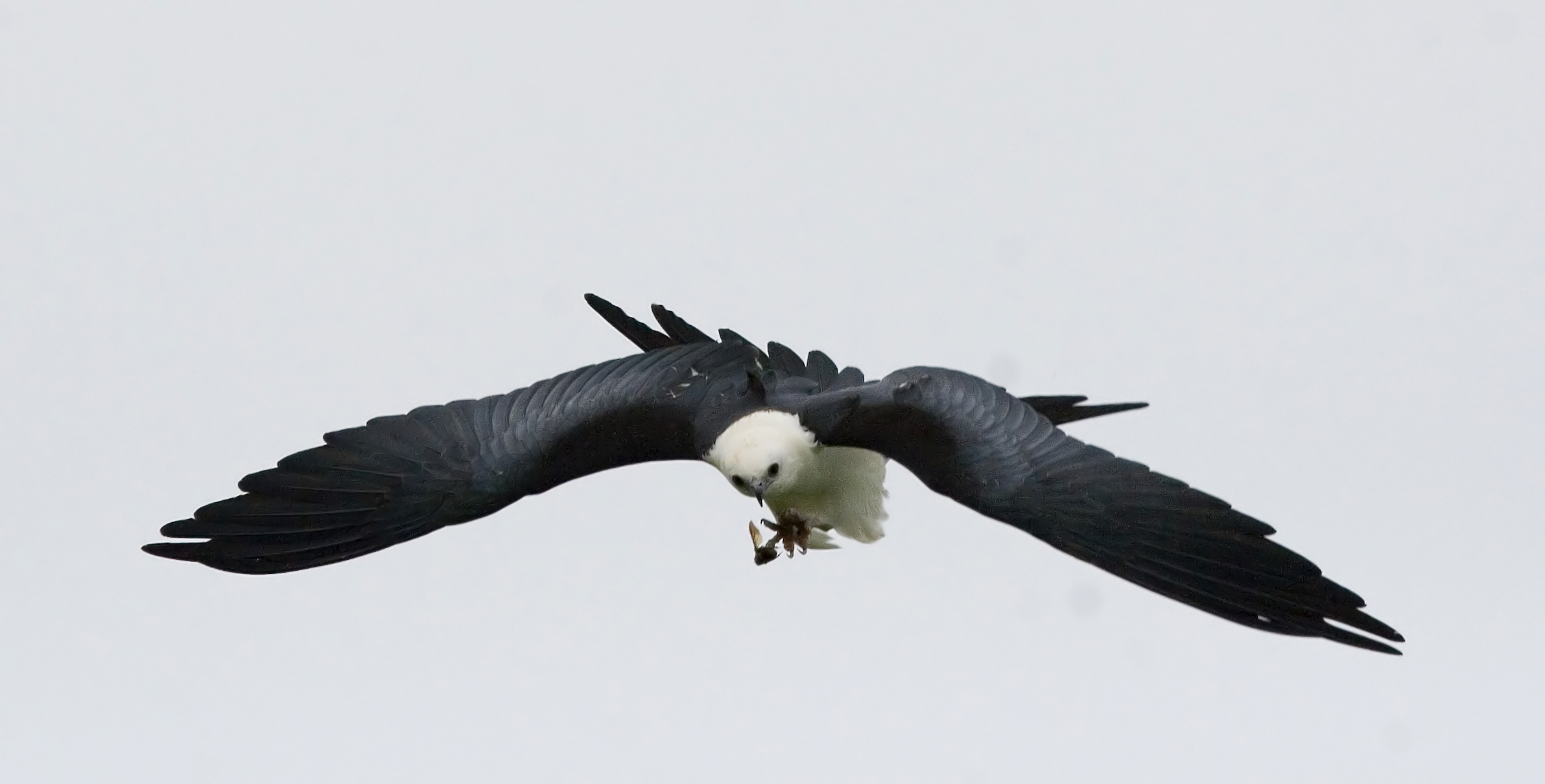
Swallow-tailed Kite. Skeen Farm, Long County, 16 August 2008. Photo by Rachel Cass (Holzman)

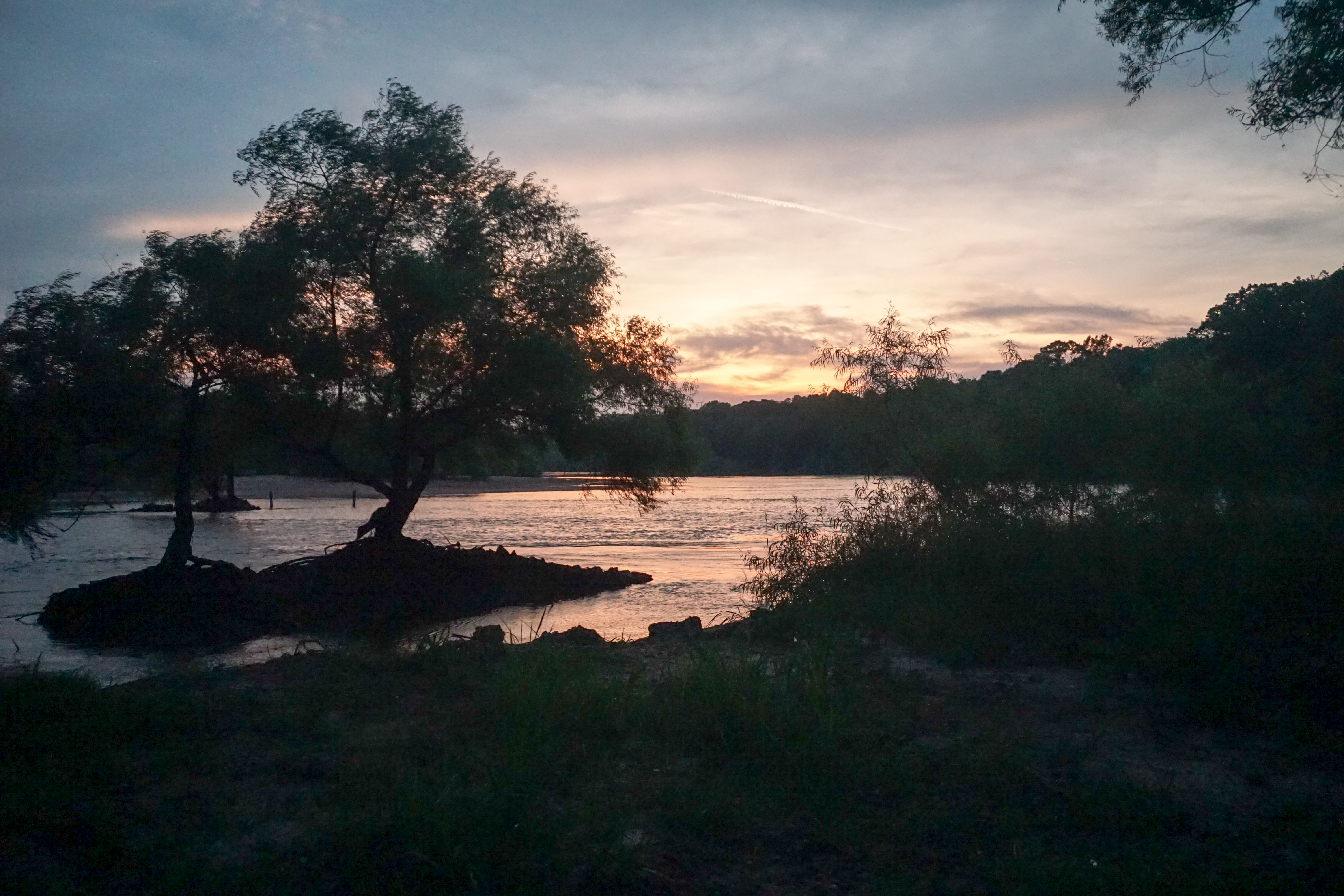
Glistening Morning
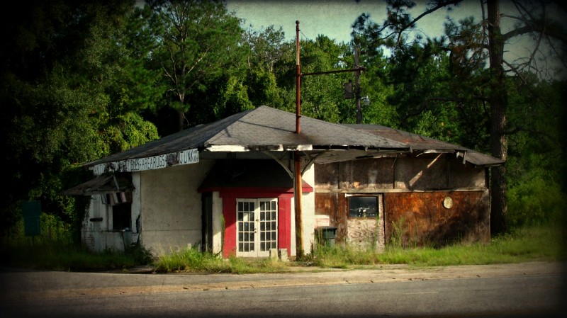
Closed Junk Store
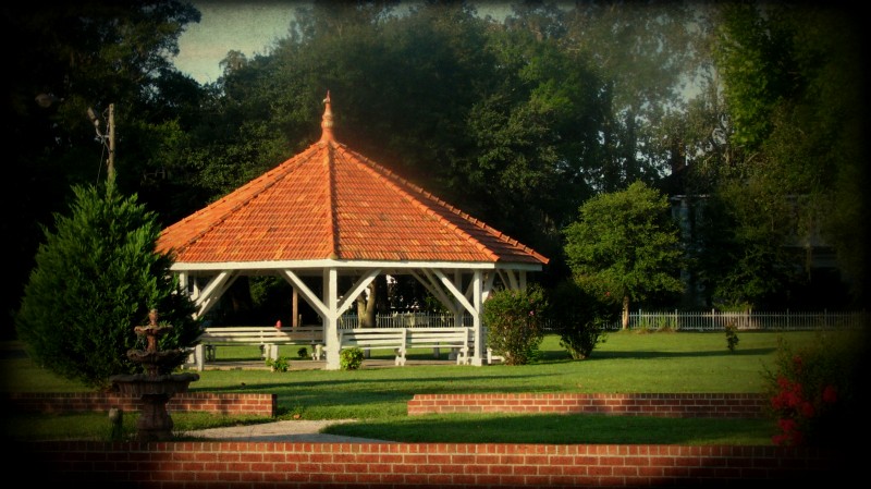
Ludowici Well Pavilion
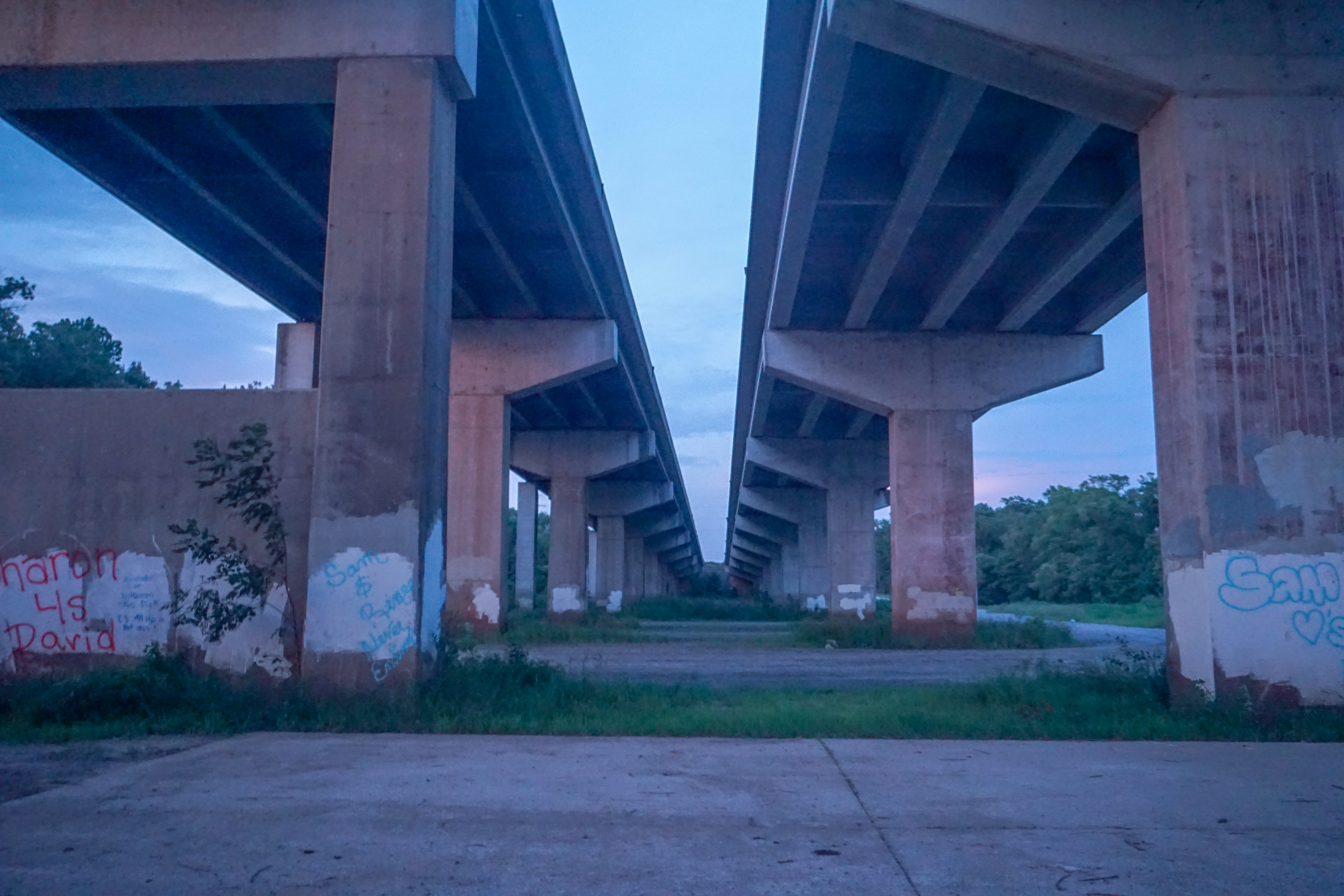
20150721-DSC00363.jpg
20150721-DSC00358.jpg

Visitor Meanwhile
Topographic Map of Long County, GA, USA
Find elevation by address:

Places in Long County, GA, USA:
Places near Long County, GA, USA:
US-, Ludowici, GA, USA
40 Linden Dr
Ludowici
145 Madison Ave Ne
19 Riddle Rd
817 Gene Bland Rd
Virgina Drive
GA-38, Ludowici, GA, USA
Lee Pl Rd NE, Ludowici, GA, USA
730 W Poplar St
561 Chapman Plantation Rd
1737 Pearl Davis Rd
East Pine Street
730 N Palm St
Jesup
Oglethorpe Hwy, Hinesville, GA, USA
Ruben Wells Road
Walthourville
Penholloway Rd, Jesup, GA, USA
W Barnard St, Glennville, GA, USA
Recent Searches:
- Elevation of Corso Fratelli Cairoli, 35, Macerata MC, Italy
- Elevation of Tallevast Rd, Sarasota, FL, USA
- Elevation of 4th St E, Sonoma, CA, USA
- Elevation of Black Hollow Rd, Pennsdale, PA, USA
- Elevation of Oakland Ave, Williamsport, PA, USA
- Elevation of Pedrógão Grande, Portugal
- Elevation of Klee Dr, Martinsburg, WV, USA
- Elevation of Via Roma, Pieranica CR, Italy
- Elevation of Tavkvetili Mountain, Georgia
- Elevation of Hartfords Bluff Cir, Mt Pleasant, SC, USA