Elevation of Liwati, Tanzania
Location: Tanzania > Kilimanjaro > Siha >
Longitude: 37.0997201
Latitude: -3.2289205
Elevation: 1134m / 3720feet
Barometric Pressure: 88KPa
Elevation Map:
Satellite Map:
Related Photos:

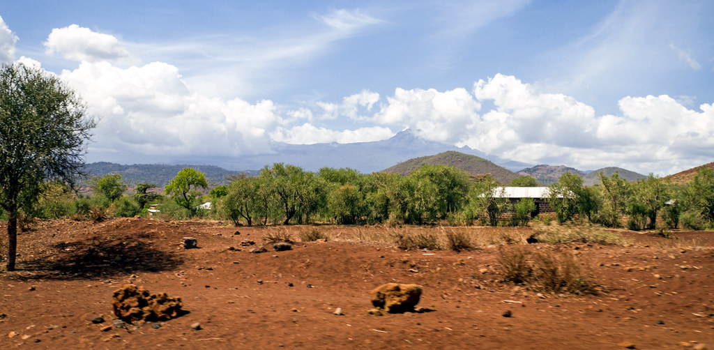
Drive a few km's from #moshi these are your scenic views; #witcheslair #Tanzania

PZ20180601-008
mount kilimanjaro | 02.16.17 | 15

mount kilimanjaro | 02.16.17 | 16
Topographic Map of Liwati, Tanzania
Find elevation by address:

Places near Liwati, Tanzania:
Lawate
Hai
Machame
Machame Kaskazini
Kilimanjaro Airport Road
Machame Mashariki
Umbwe
Siha
Ngarenairobi
Okaoni Secondary School
Kilimanjaro International Airport
Machame Camp
Shira
The College Of African Wildlife Management Mweka
Kibosho Mashariki
Shira Camp
Hatari Lodge
Shanty Town
Ngarenanyuki
Meru
Recent Searches:
- Elevation of 72-31 Metropolitan Ave, Middle Village, NY, USA
- Elevation of 76 Metropolitan Ave, Brooklyn, NY, USA
- Elevation of Alisal Rd, Solvang, CA, USA
- Elevation of Vista Blvd, Sparks, NV, USA
- Elevation of 15th Ave SE, St. Petersburg, FL, USA
- Elevation of Beall Road, Beall Rd, Florida, USA
- Elevation of Leguwa, Nepal
- Elevation of County Rd, Enterprise, AL, USA
- Elevation of Kolchuginsky District, Vladimir Oblast, Russia
- Elevation of Shustino, Vladimir Oblast, Russia