Elevation of Kilimanjaro Airport Road, Kilimanjaro Airport Rd, Tanzania
Location: Tanzania > Arusha > Hai >
Longitude: 37.0642056
Latitude: -3.3830779
Elevation: -10000m / -32808feet
Barometric Pressure: 295KPa
Elevation Map:
Satellite Map:
Related Photos:

View from the air

Ctenuchid moth

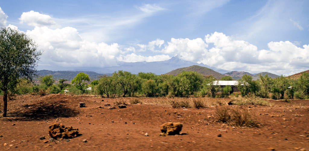
Drive a few km's from #moshi these are your scenic views; #witcheslair #Tanzania

Tanzanian Farm

Kilimanjaro seen from the plane

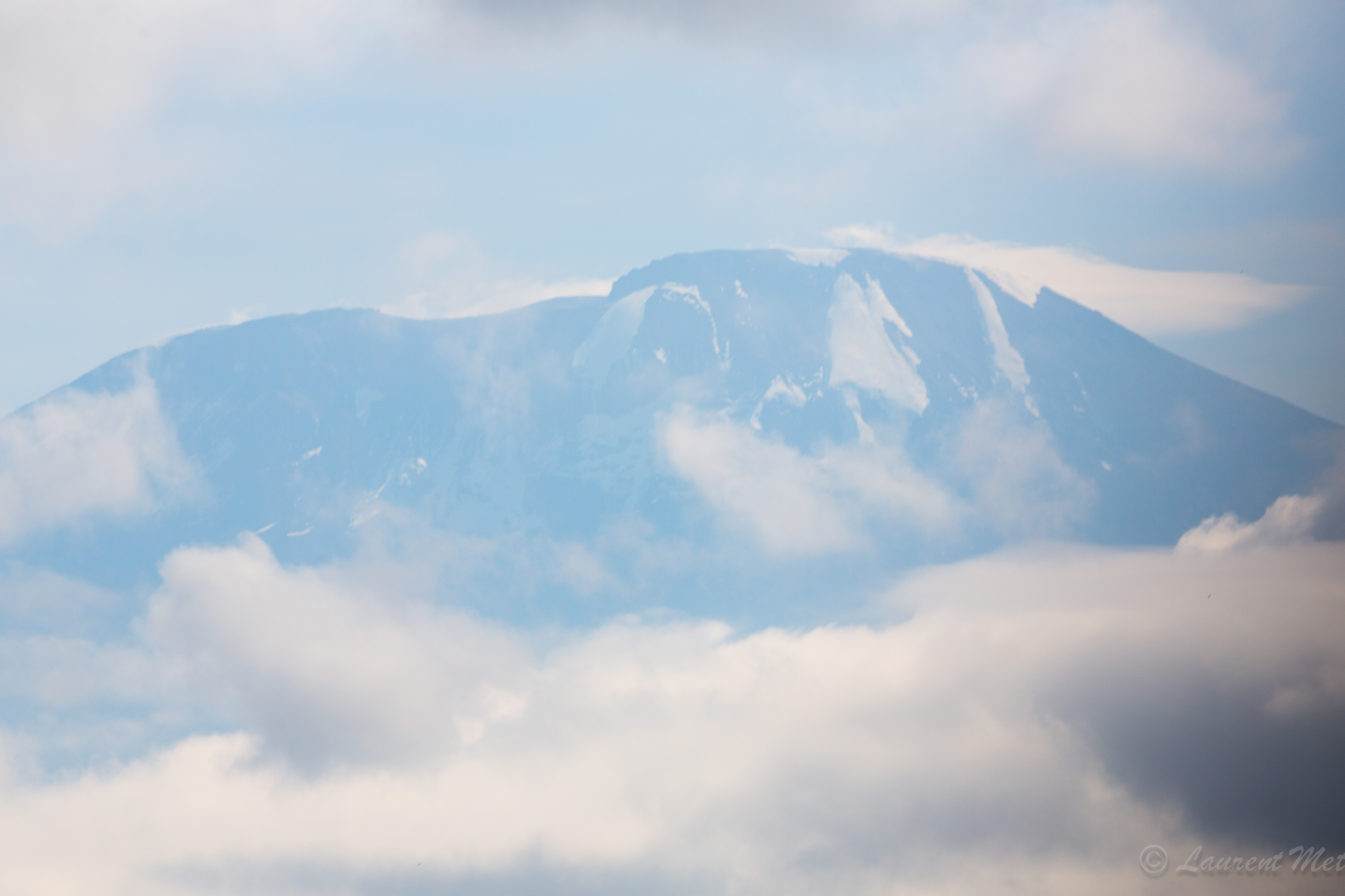
Mt Kilimanjaro from the ground
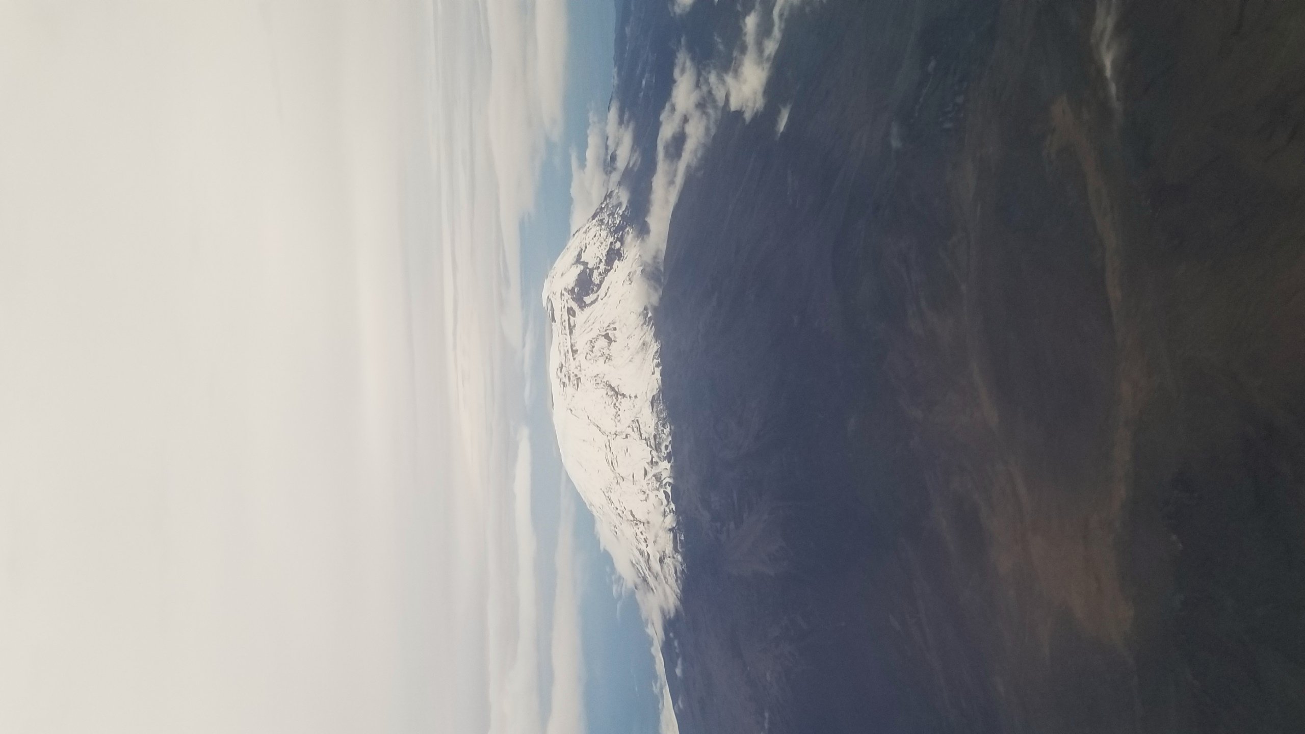
Another look on the mountain from the air
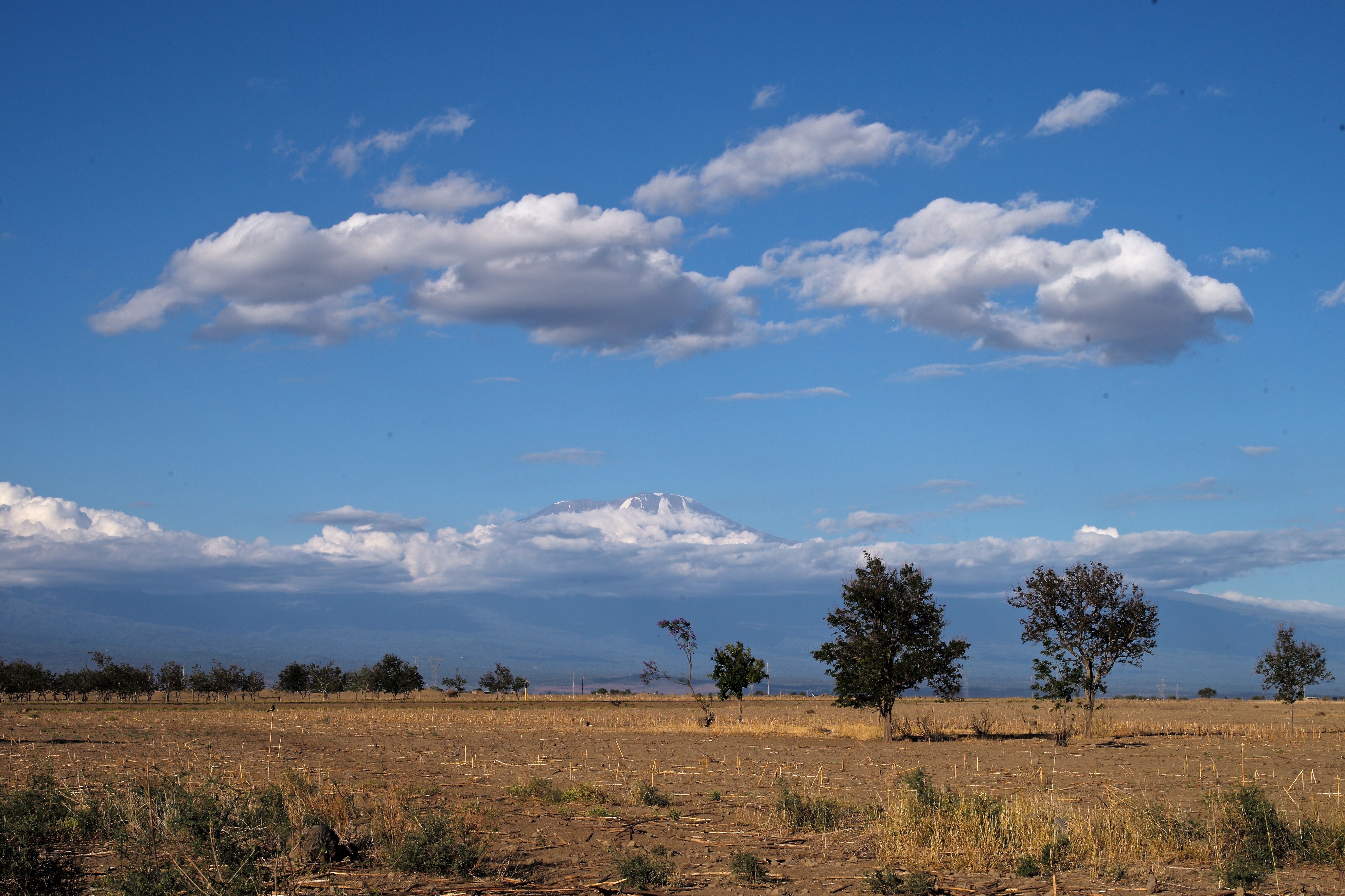
Mount Kilimanjaro Rising Above the Plain and the Clouds
18032013-C57A2978.jpg
mount kilimanjaro | 02.16.17 | 15

Kilimanjaro Mountain is supposed to be there.

2016.08.05坦尚尼亞02
Topographic Map of Kilimanjaro Airport Road, Kilimanjaro Airport Rd, Tanzania
Find elevation by address:

Places near Kilimanjaro Airport Road, Kilimanjaro Airport Rd, Tanzania:
Kilimanjaro International Airport
Liwati
Lawate
Ngurdoto Mountain Lodge
Mount Meru Game Lodge & Sanctuary
Meru
Usa River
Rijkzwaan Afrisem
Machame Kaskazini
Karangai
Arumeru River Lodge
Machame
Makumira University College
Makumira
Momela Road
Arumeru
Hai
Hatari Lodge
Shanty Town
Umbwe
Recent Searches:
- Elevation of 72-31 Metropolitan Ave, Middle Village, NY, USA
- Elevation of 76 Metropolitan Ave, Brooklyn, NY, USA
- Elevation of Alisal Rd, Solvang, CA, USA
- Elevation of Vista Blvd, Sparks, NV, USA
- Elevation of 15th Ave SE, St. Petersburg, FL, USA
- Elevation of Beall Road, Beall Rd, Florida, USA
- Elevation of Leguwa, Nepal
- Elevation of County Rd, Enterprise, AL, USA
- Elevation of Kolchuginsky District, Vladimir Oblast, Russia
- Elevation of Shustino, Vladimir Oblast, Russia