Elevation of Livingood Springs Rd, Postville, IA, USA
Location: United States > Iowa > Allamakee County > Post > Postville >
Longitude: -91.546192
Latitude: 43.1540349
Elevation: 286m / 938feet
Barometric Pressure: 98KPa
Elevation Map:
Satellite Map:
Related Photos:
Rocket Slide
Postville Area Fire Dept. Tanker 521 (Rear View)

Iowa, Winneshiek County- Frankville, Frankville Stone School (858-2)
American kestrel rear view near Rossville IA 854A3379
Entering Allamakee County (Allamakee County, Iowa)

E 132

chipping sparrow at Waukon City Park IA 854A7196
IA/MN trip

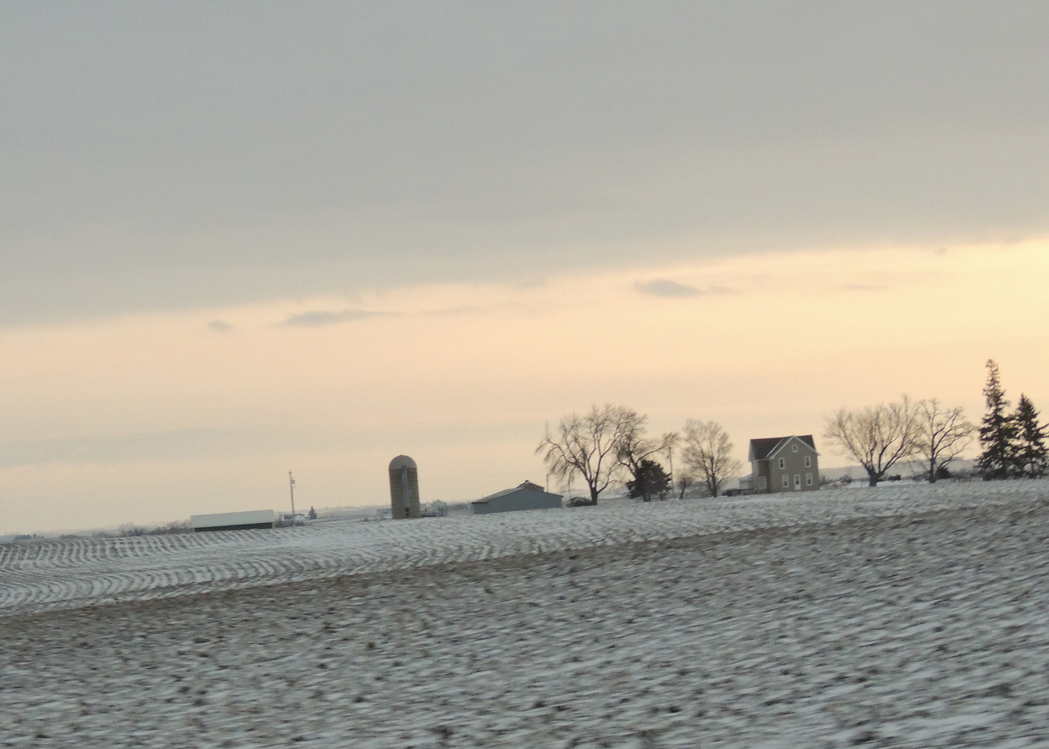
Looking across the field...
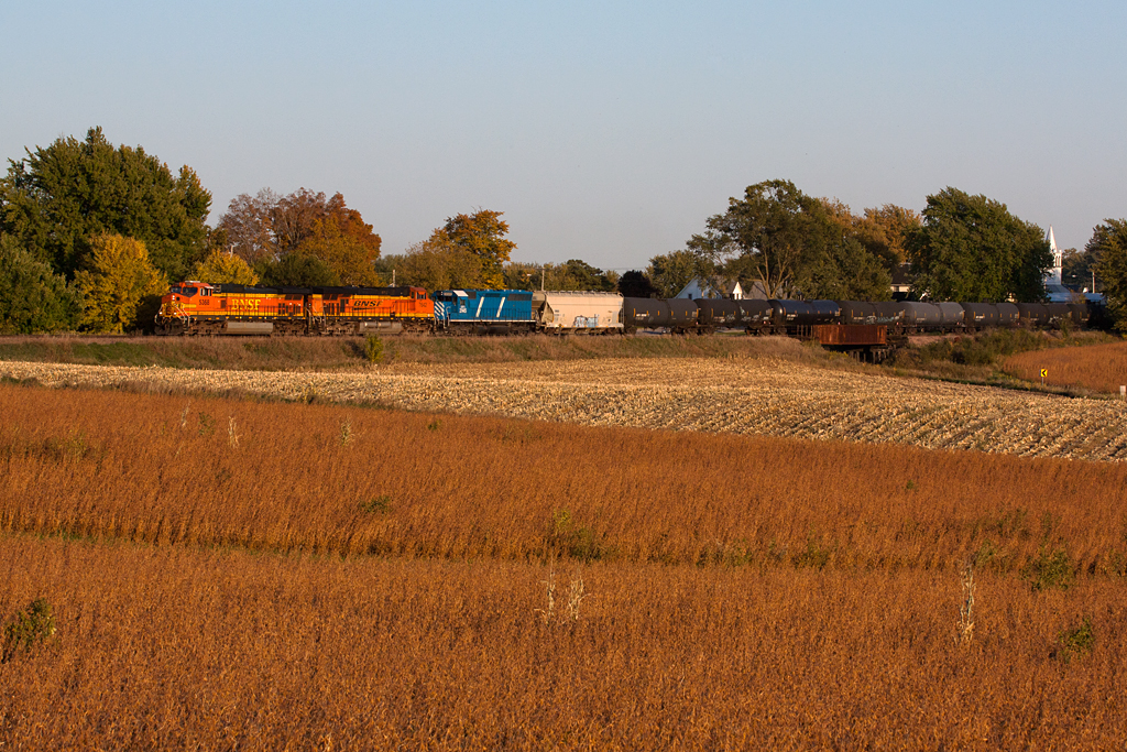
BNSF 5368 - Unit Ethanol Train - Castalia, IA
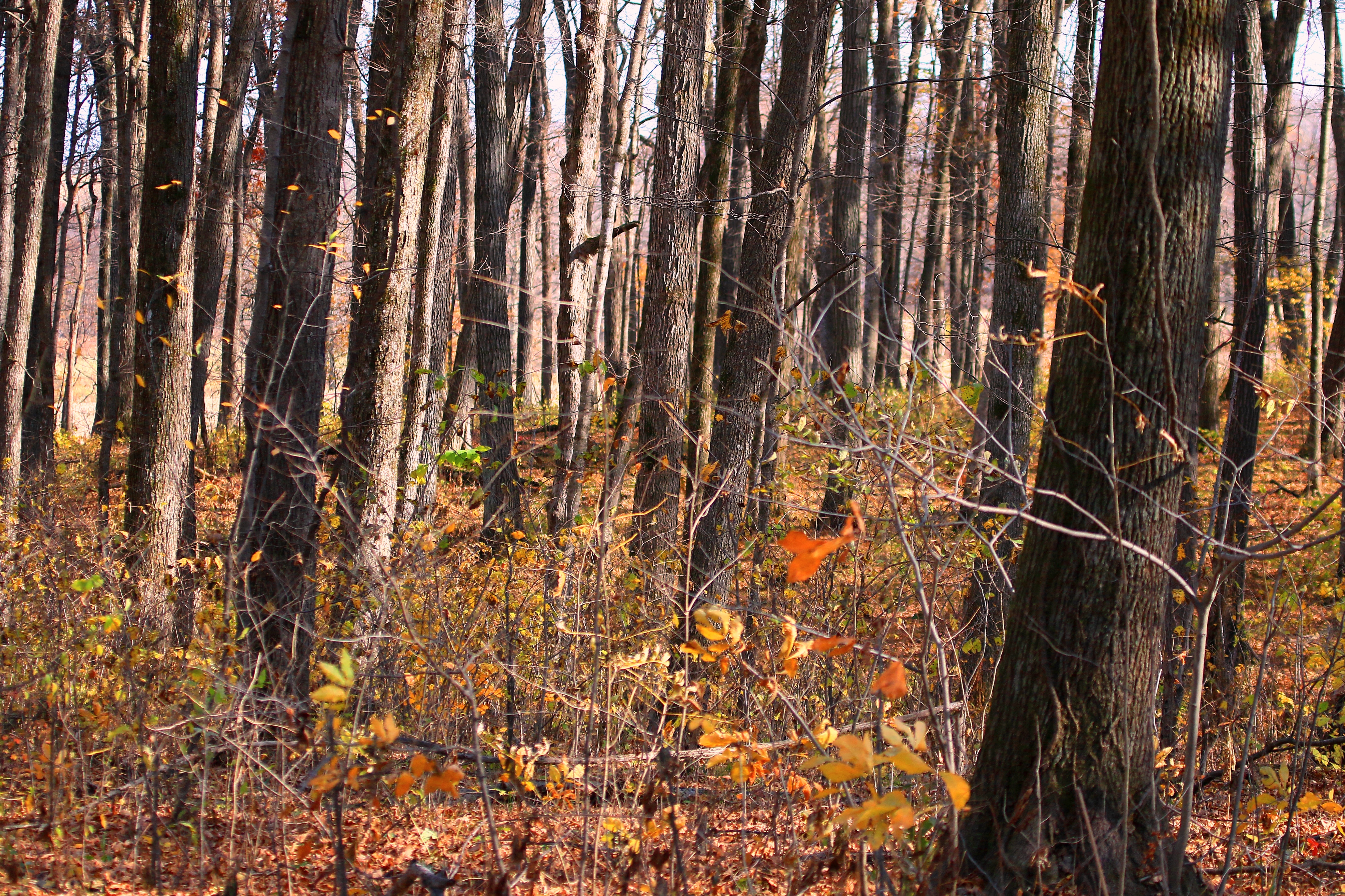
sugar maple tree trunks in Marilie Forest IA 854A4063
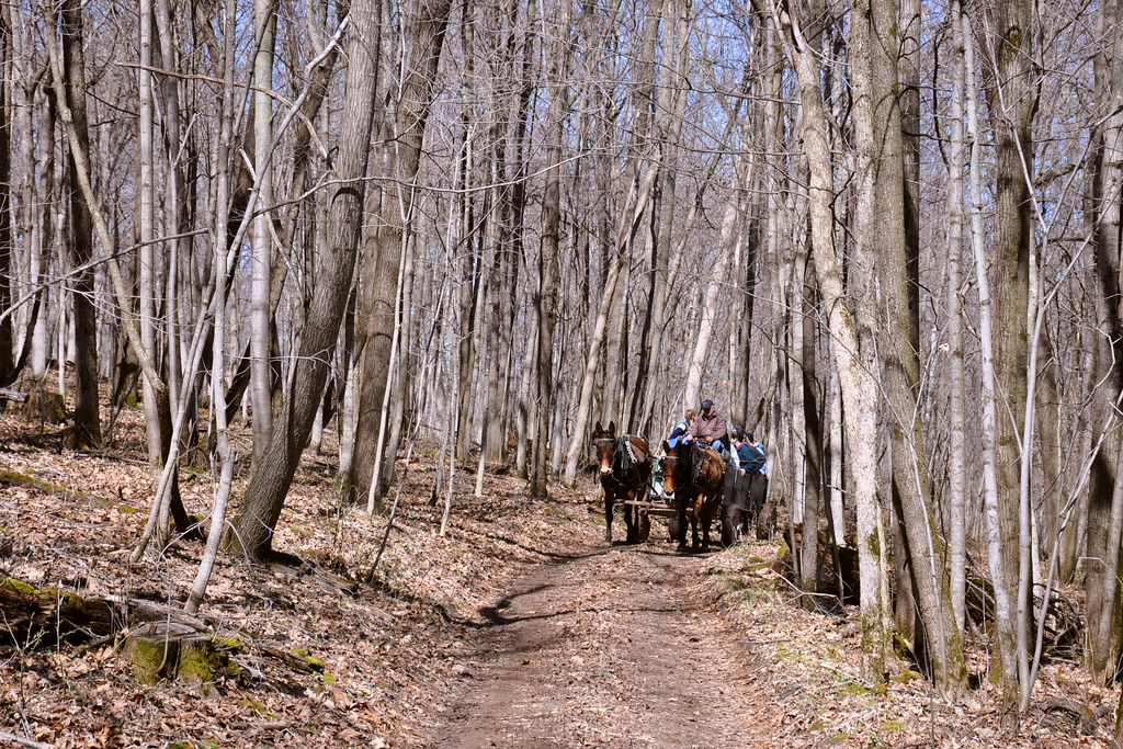
Maple Tour
Topographic Map of Livingood Springs Rd, Postville, IA, USA
Find elevation by address:

Places near Livingood Springs Rd, Postville, IA, USA:
Post
S Lawler St, Postville, IA, USA
Postville
th Ave, Castalia, IA, USA
Frankville Rd, Postville, IA, USA
1576 134th Ave
Frankville
Luana
Waukon
15 Allamakee St NW, Waukon, IA, USA
Allamakee County
Old Stage Rd, Waukon, IA, USA
W Greene St, Castalia, IA, USA
Broadview Ave, Luana, IA, USA
Monona
Glenwood
th St, Decorah, IA, USA
Makee
76 Co Hwy A52, Waukon, IA, USA
Center St, Elgin, IA, USA
Recent Searches:
- Elevation of Woodland Oak Pl, Thousand Oaks, CA, USA
- Elevation of Brownsdale Rd, Renfrew, PA, USA
- Elevation of Corcoran Ln, Suffolk, VA, USA
- Elevation of Mamala II, Sariaya, Quezon, Philippines
- Elevation of Sarangdanda, Nepal
- Elevation of 7 Waterfall Way, Tomball, TX, USA
- Elevation of SW 57th Ave, Portland, OR, USA
- Elevation of Crocker Dr, Vacaville, CA, USA
- Elevation of Pu Ngaol Community Meeting Hall, HWHM+3X7, Krong Saen Monourom, Cambodia
- Elevation of Royal Ontario Museum, Queens Park, Toronto, ON M5S 2C6, Canada