Elevation of th Ave, Castalia, IA, USA
Location: United States > Iowa > Winneshiek County >
Longitude: -91.622179
Latitude: 43.160006
Elevation: 327m / 1073feet
Barometric Pressure: 97KPa
Elevation Map:
Satellite Map:
Related Photos:

Canadian Pacific train

Iowa, Winneshiek County- Frankville, Frankville Stone School (858-2)
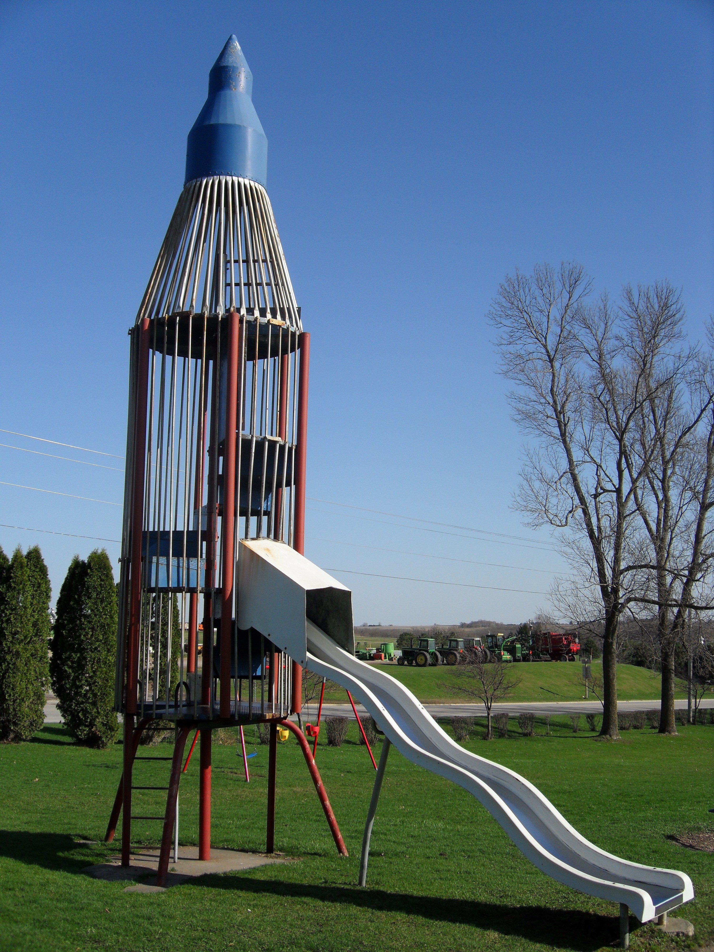
Rocket Slide
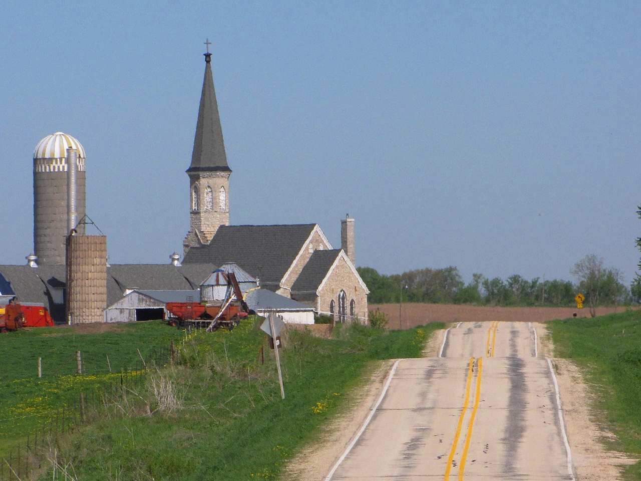
Steeples and Silos

chipping sparrow at Waukon City Park IA 854A7196
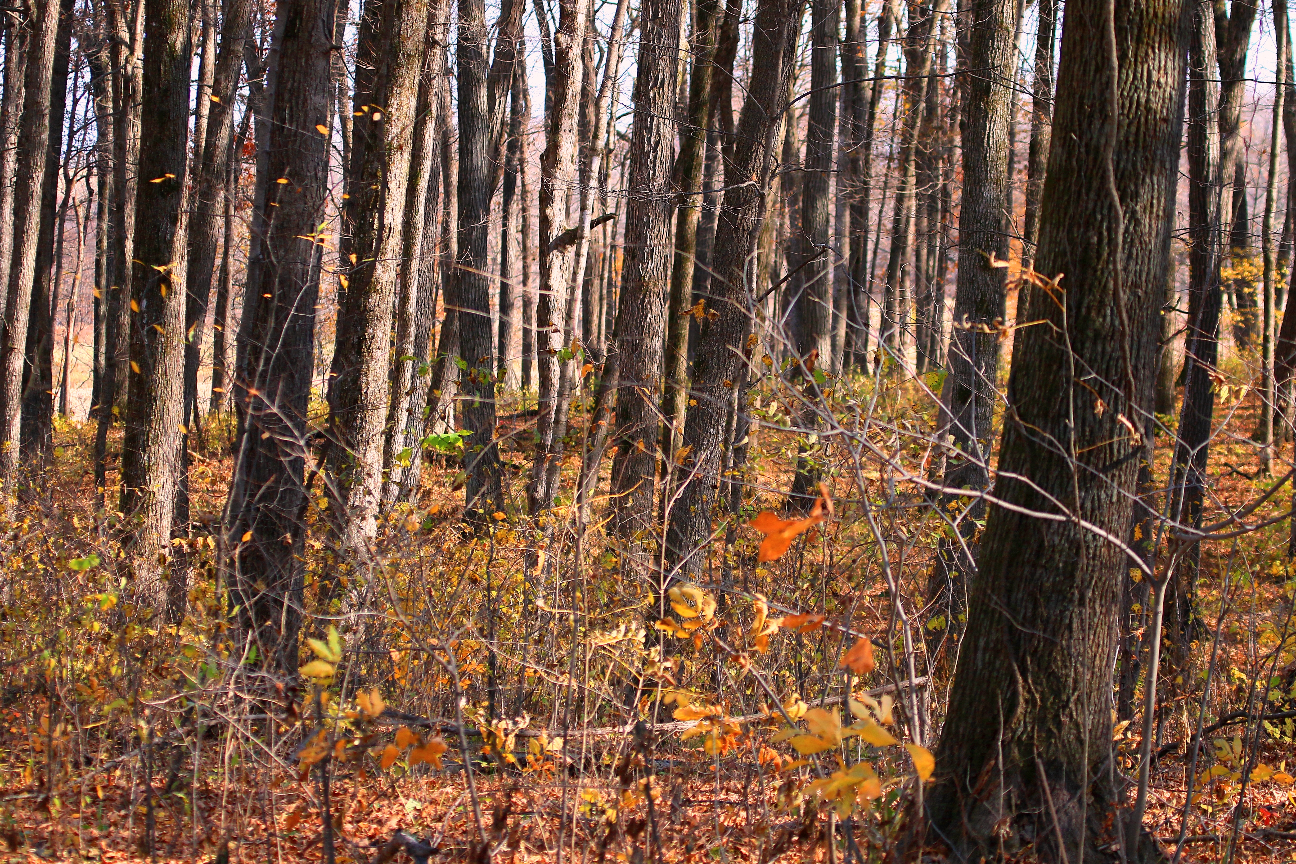
sugar maple tree trunks in Marilie Forest IA 854A4063
IA/MN trip
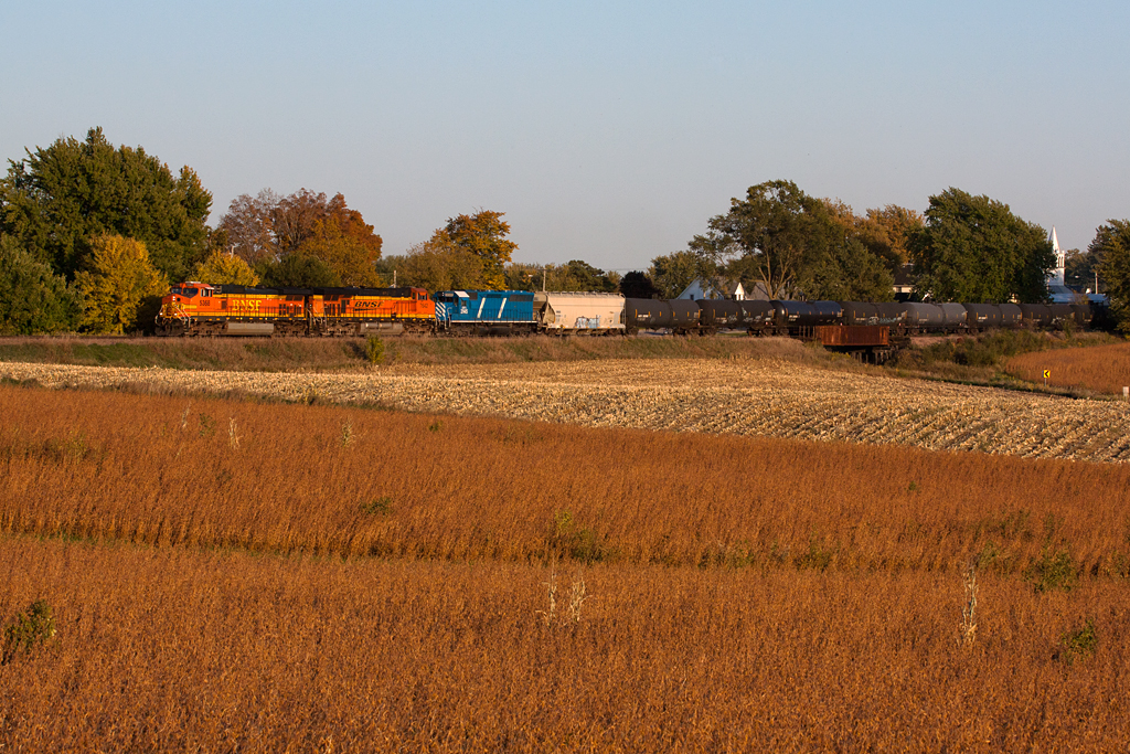
BNSF 5368 - Unit Ethanol Train - Castalia, IA
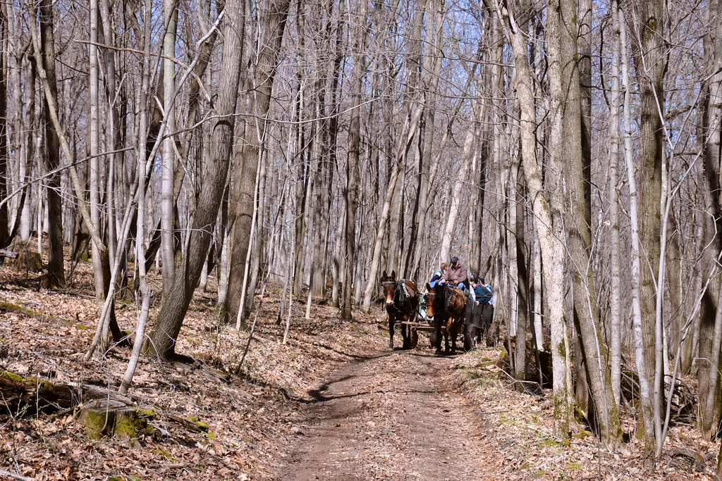
Maple Tour
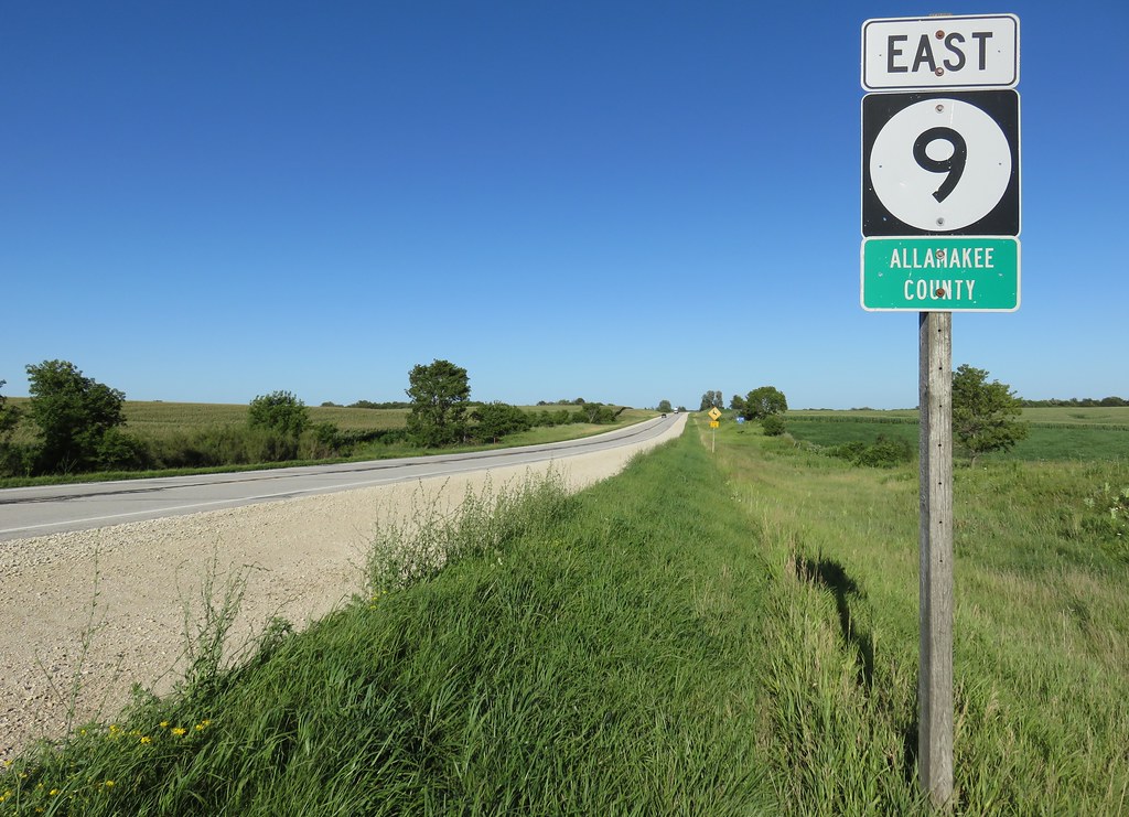
Entering Allamakee County (Allamakee County, Iowa)
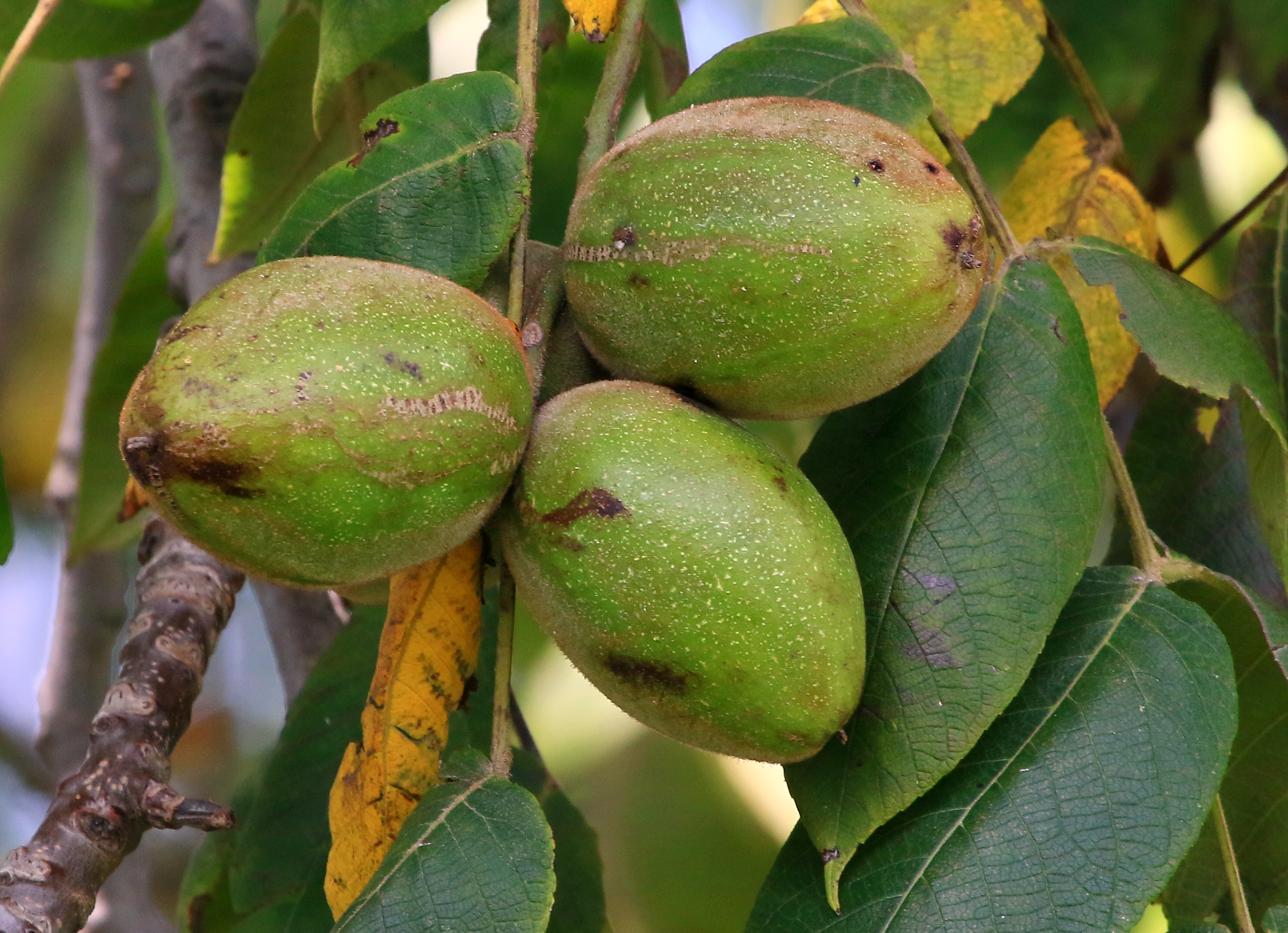
butternut tree nuts near Ossian IA 854A9307

Virginia waterleaf at Marilie Woods IA 854A8783
Topographic Map of th Ave, Castalia, IA, USA
Find elevation by address:

Places near th Ave, Castalia, IA, USA:
Frankville Rd, Postville, IA, USA
1576 134th Ave
Frankville
Post
W Greene St, Castalia, IA, USA
600 Livingood Springs Rd
S Lawler St, Postville, IA, USA
Postville
Old Stage Rd, Waukon, IA, USA
Glenwood
th St, Decorah, IA, USA
1656 Ia-9
Waukon
15 Allamakee St NW, Waukon, IA, USA
River Rd, Decorah, IA, USA
1818 Ia-9
Luana
Allamakee County
Broadview Ave, Luana, IA, USA
Center St, Elgin, IA, USA
Recent Searches:
- Elevation of Unnamed Road, Respublika Severnaya Osetiya — Alaniya, Russia
- Elevation of Verkhny Fiagdon, North Ossetia–Alania Republic, Russia
- Elevation of F. Viola Hiway, San Rafael, Bulacan, Philippines
- Elevation of Herbage Dr, Gulfport, MS, USA
- Elevation of Lilac Cir, Haldimand, ON N3W 2G9, Canada
- Elevation of Harrod Branch Road, Harrod Branch Rd, Kentucky, USA
- Elevation of Wyndham Grand Barbados Sam Lords Castle All Inclusive Resort, End of Belair Road, Long Bay, Bridgetown Barbados
- Elevation of Iga Trl, Maggie Valley, NC, USA
- Elevation of N Co Rd 31D, Loveland, CO, USA
- Elevation of Lindever Ln, Palmetto, FL, USA