Elevation of Little Levels, WV, USA
Location: United States > West Virginia > Auto >
Longitude: -80.232131
Latitude: 38.1200013
Elevation: 711m / 2333feet
Barometric Pressure: 93KPa
Elevation Map:
Satellite Map:
Related Photos:
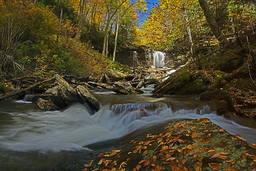
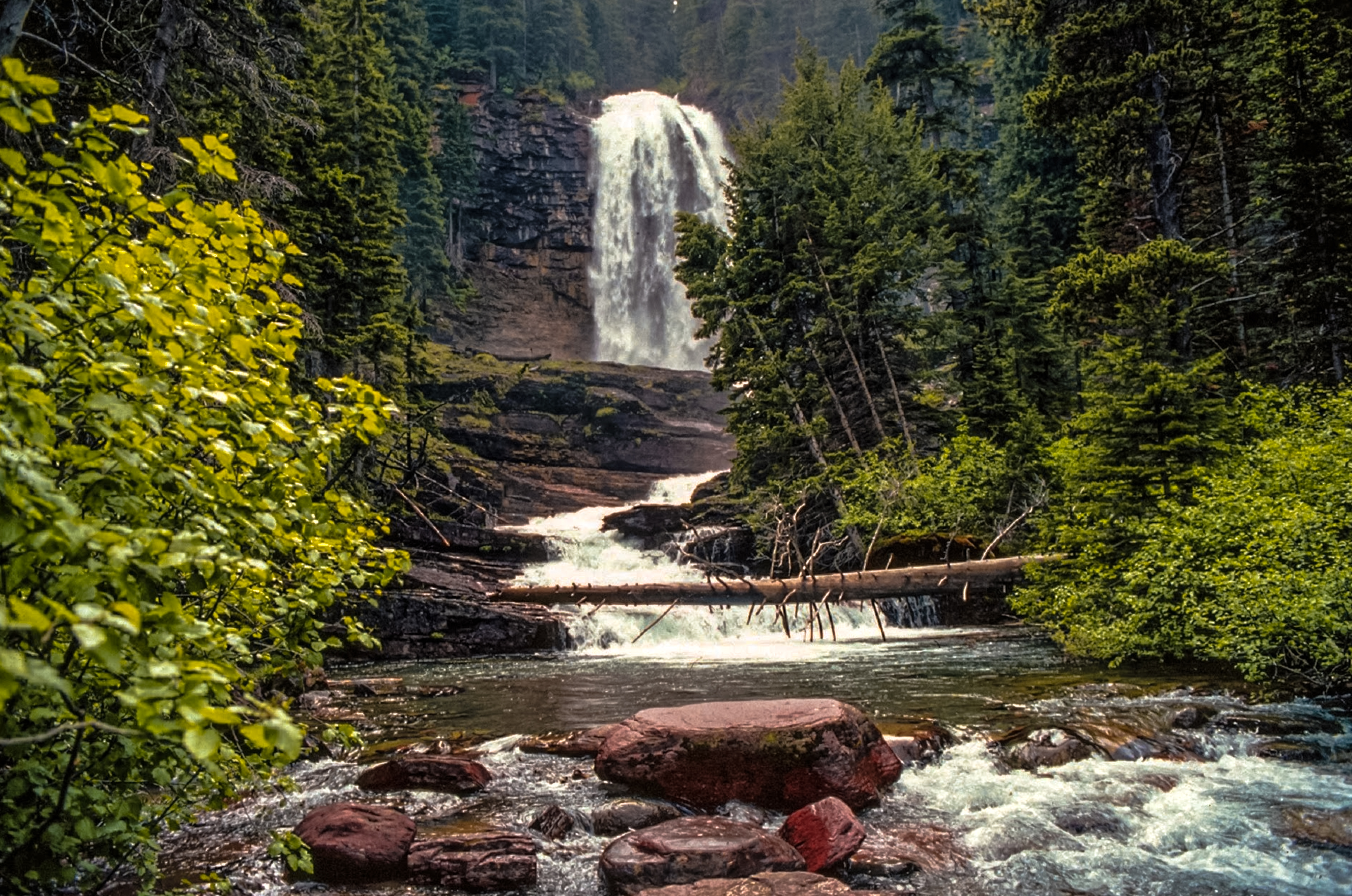
Falls of Hills Creek Middle Falls
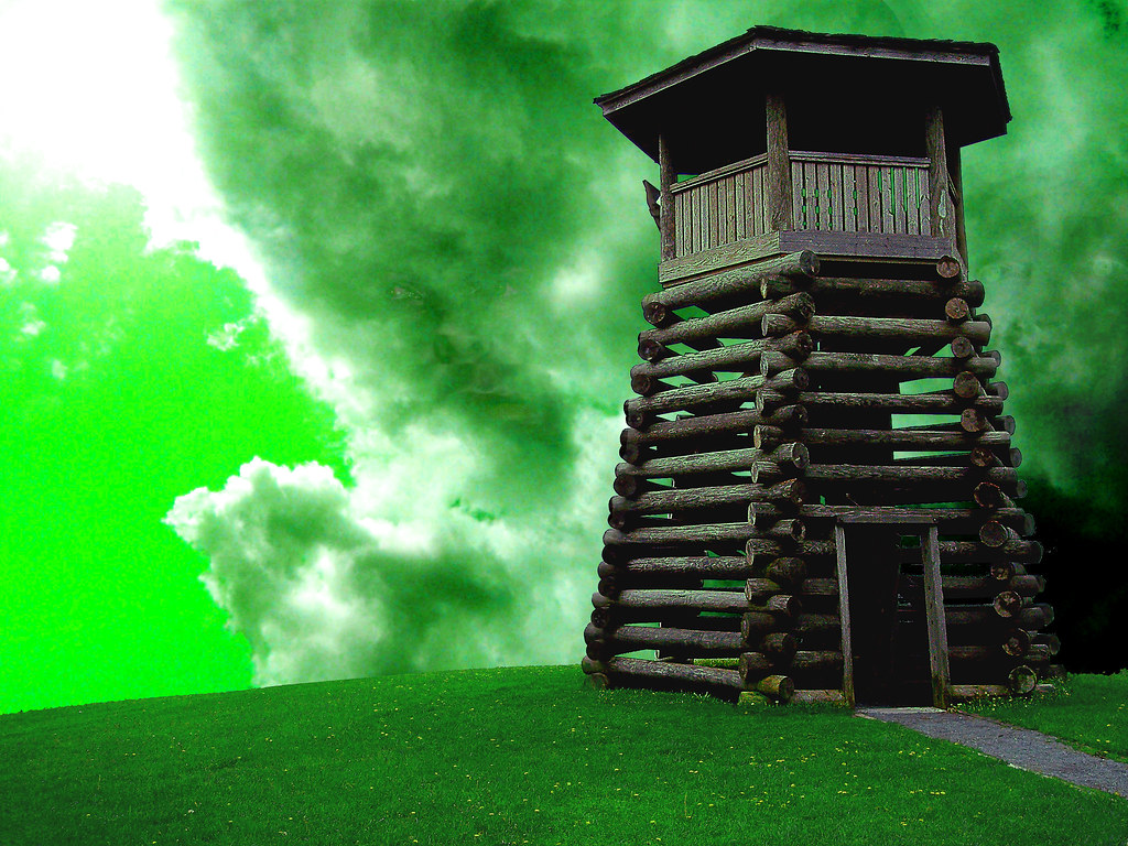
All Along the Watchtower
TrackHead Studios - Droop Mnt Battlefield - Fall View
Droop Mountain Lookout Tower
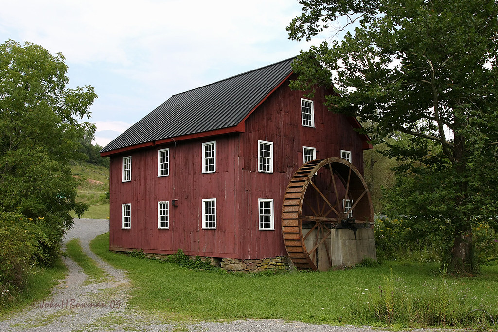
McNeel Mill, rear - West Virginia
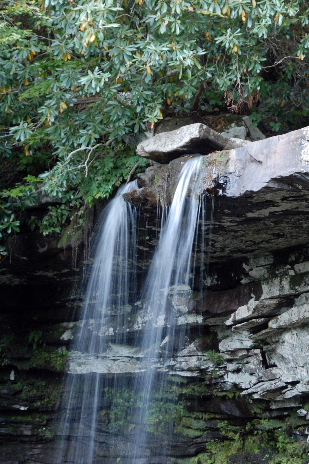
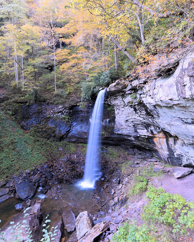
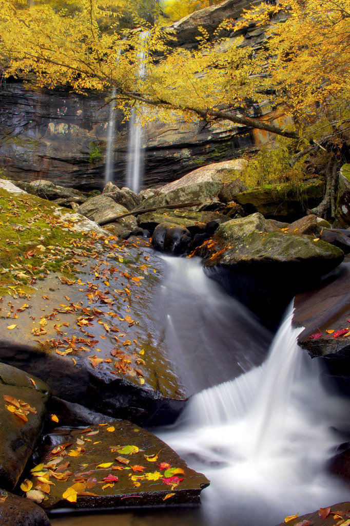
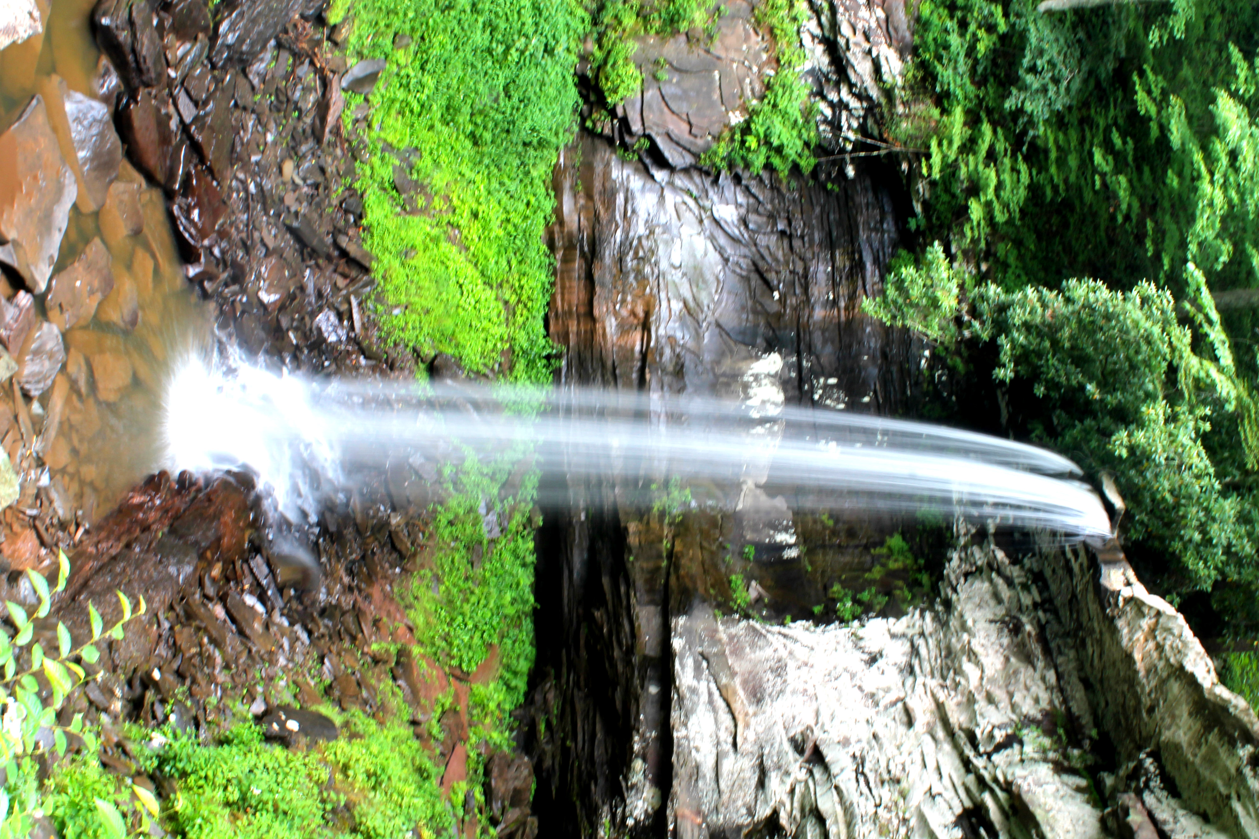
The Lower Falls of Hill Creek
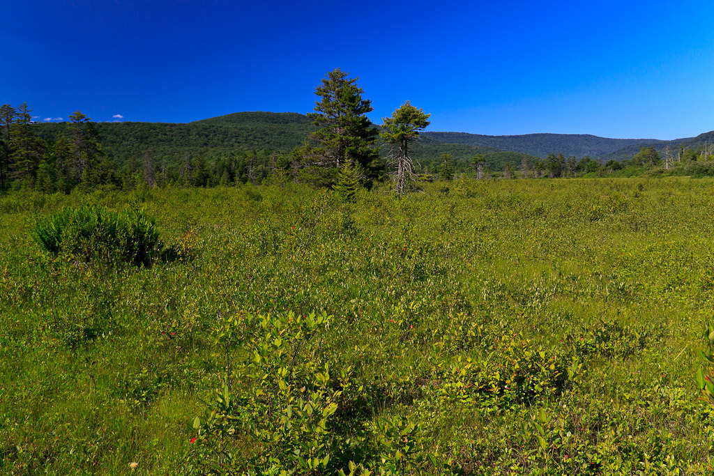
Cranberry Glades Botanical Area
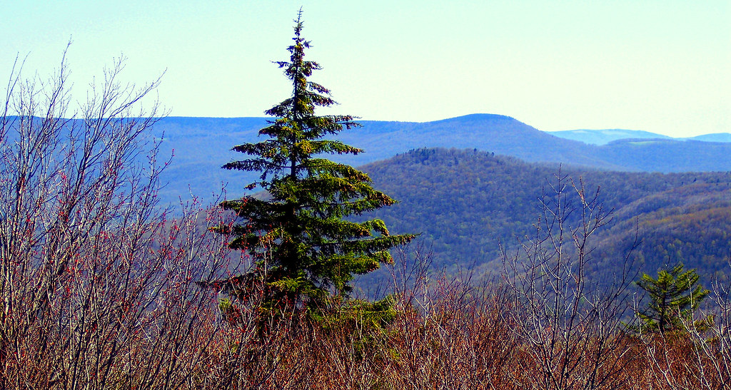
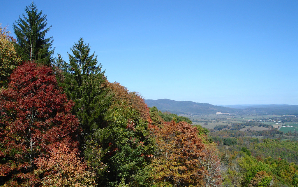
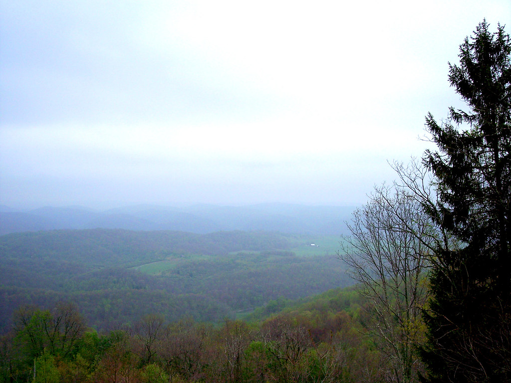
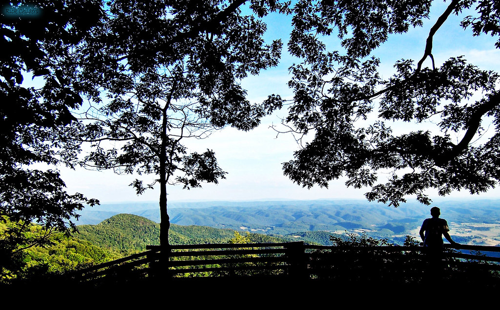
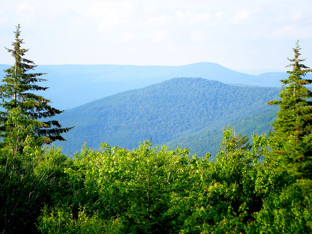
A view from the top
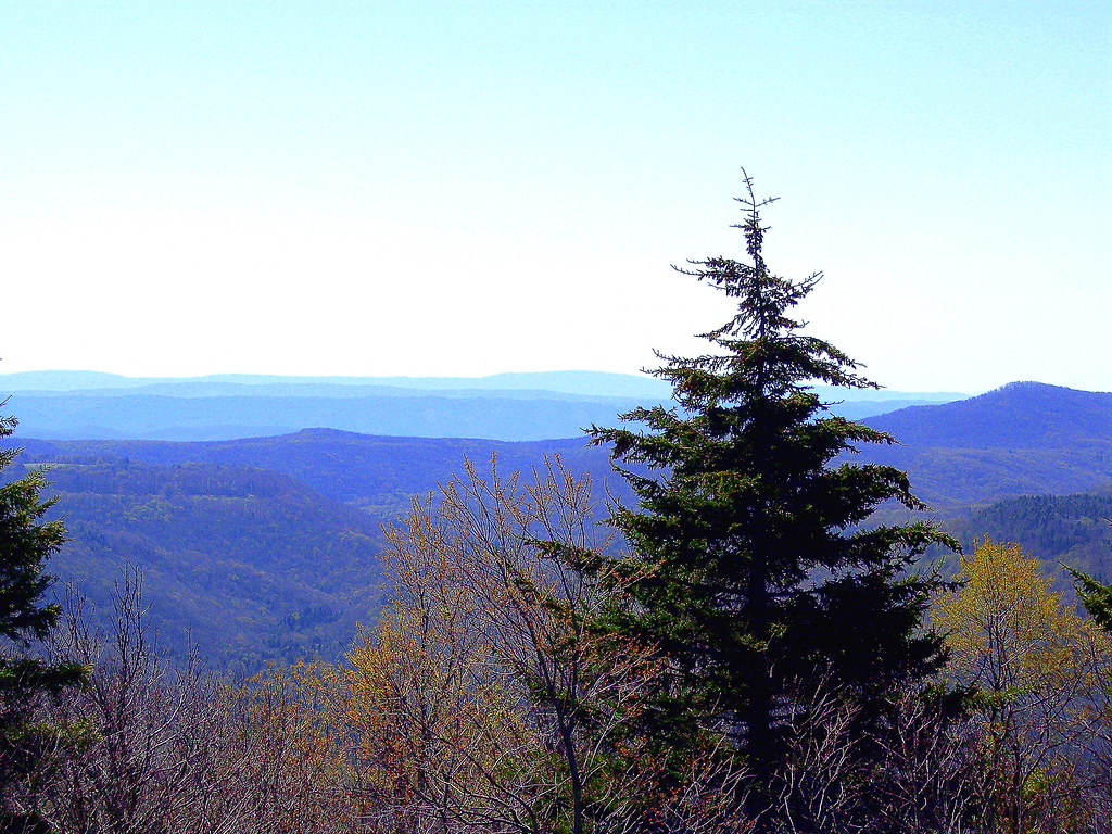
A view from the top
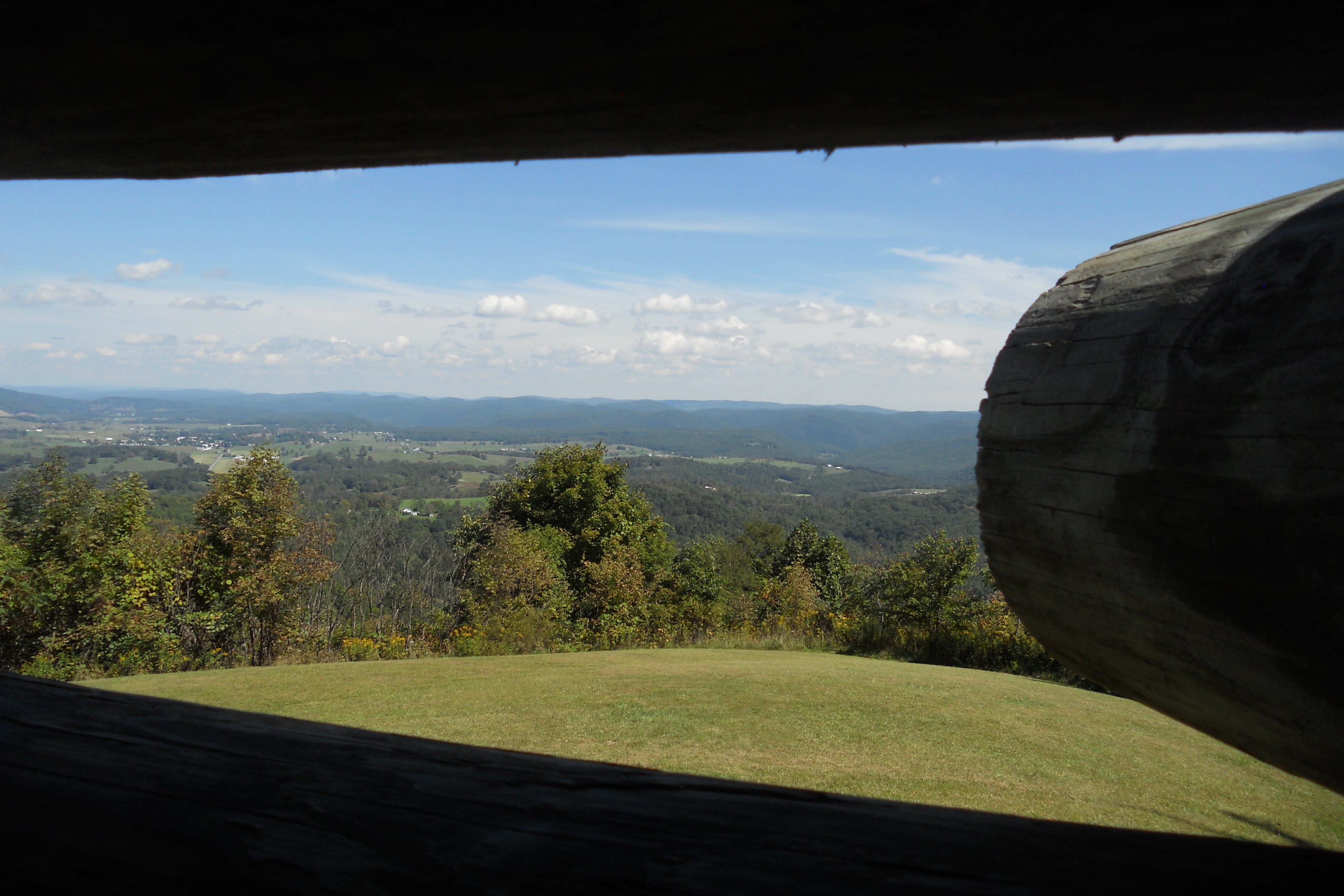
View from Droop Mtn watch tower
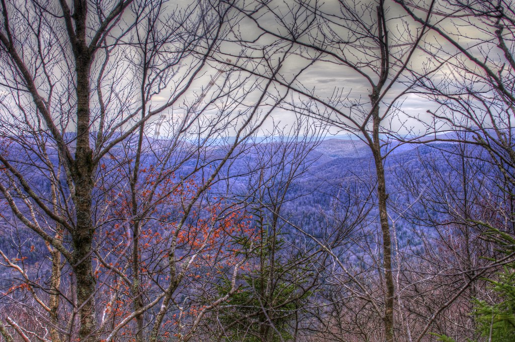
Beyond the Red-bud

McNeel Mill -- Front view
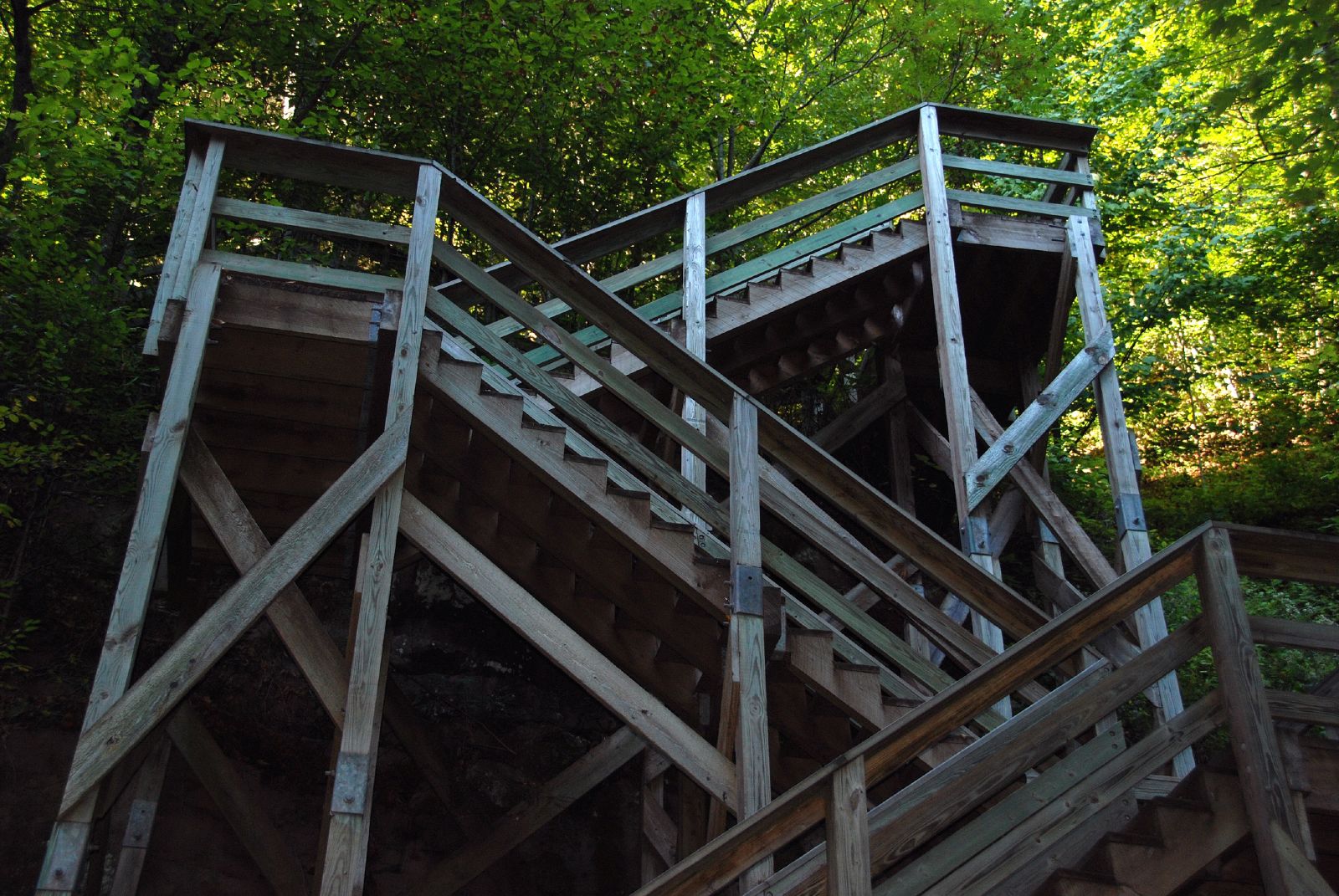
Stairway to Falls of Hill Creek
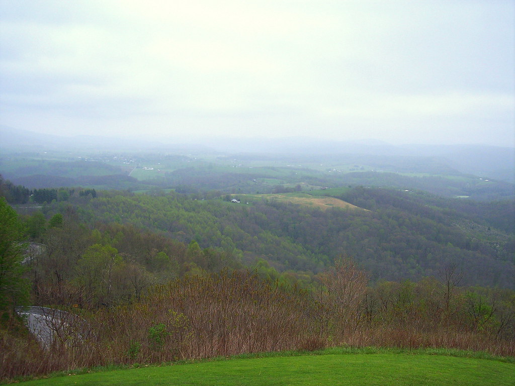
Highland Scenic Highway View 3
Highland Scenic Highway View 2
A view from the top

Falls of Hills Creek (Lower Falls) (Low View)
A View from WV's Highland Scenic Highway
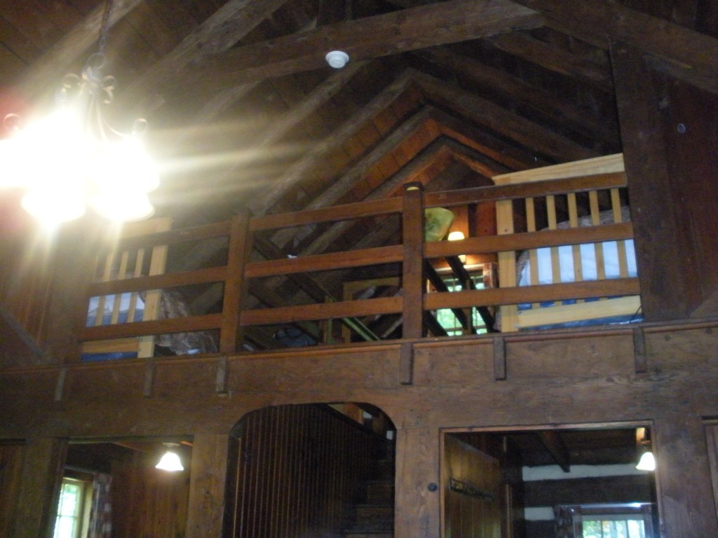
Loft, Watoga Cabin #7 (2237)
View from Droop Mtn watch tower
A view from the top

Snake Rock Sunrise
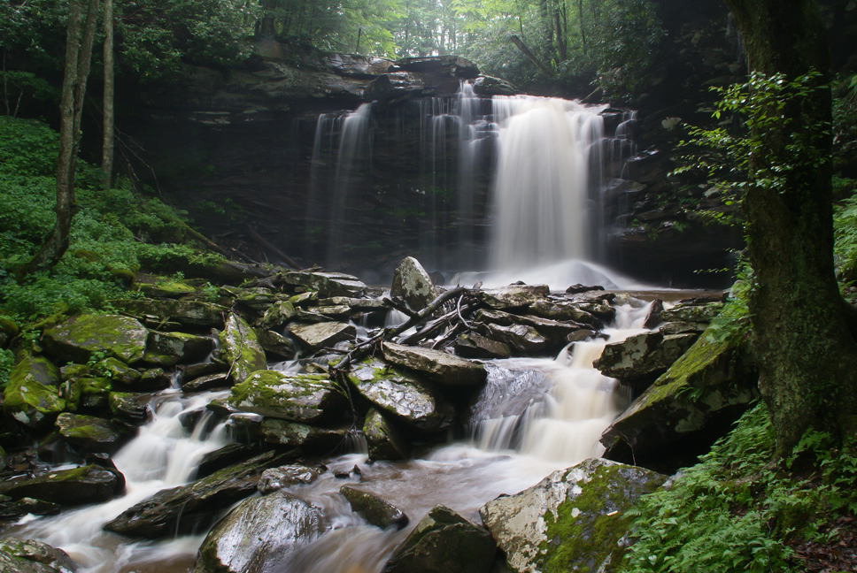
Hills Creek Middle Falls-Explored
Autumn flash back.......
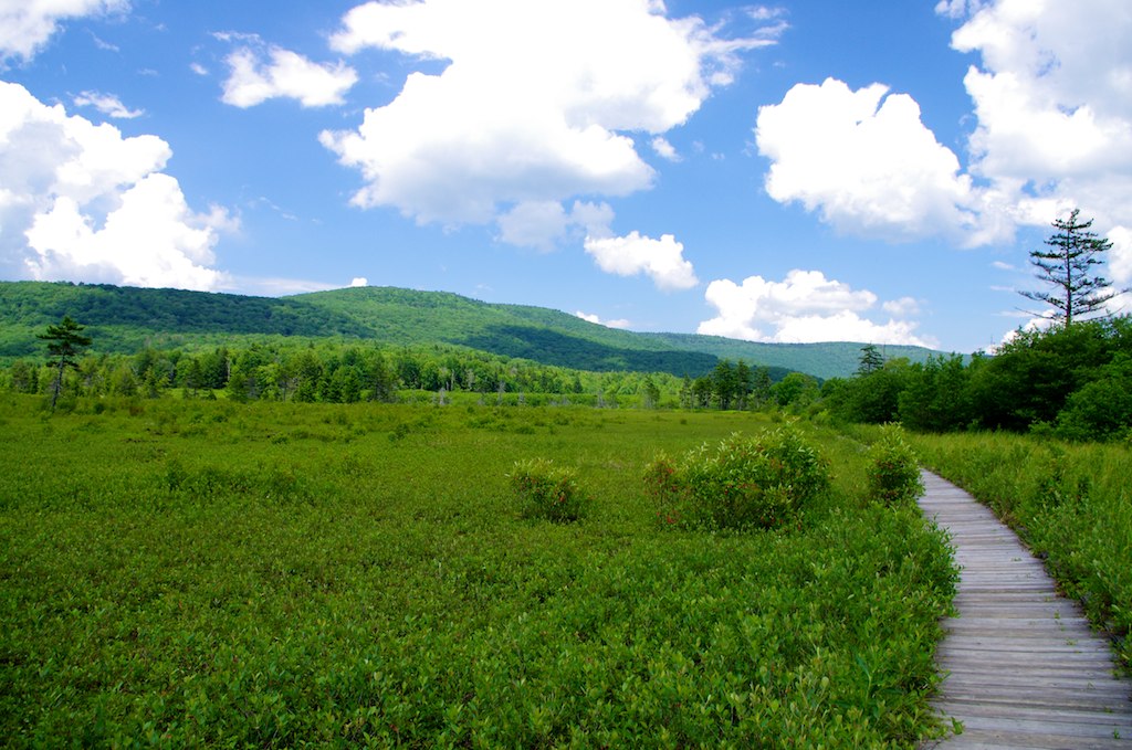
Cranberry Glades in West Virginia

Falls of Hills Creek
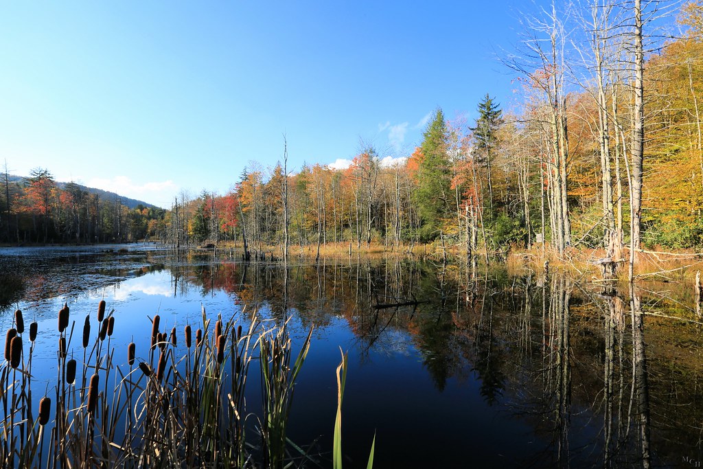
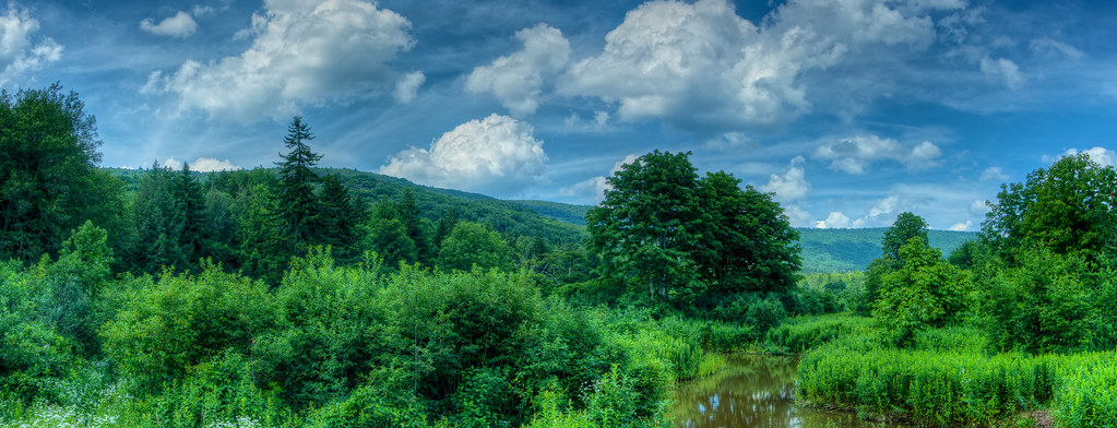
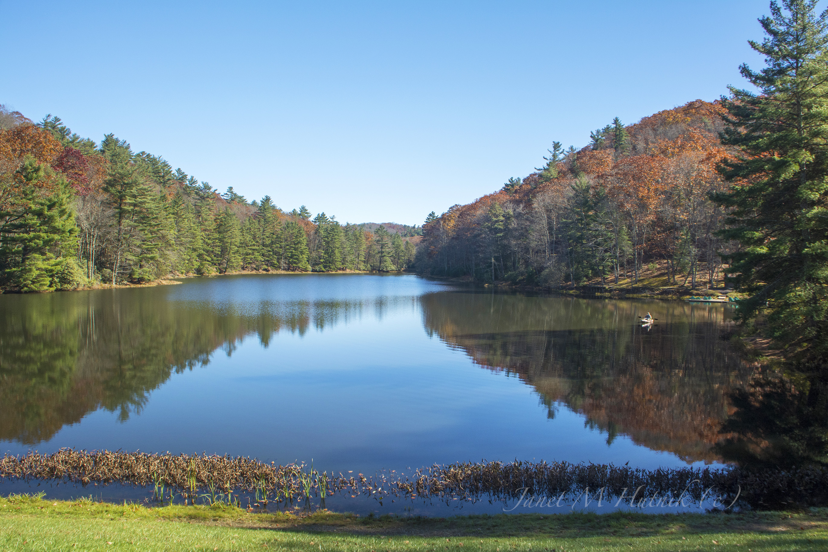
Autumn colors reflecting in the pond

Just north of the Buckeye trail head on the Greenbrier River Trail
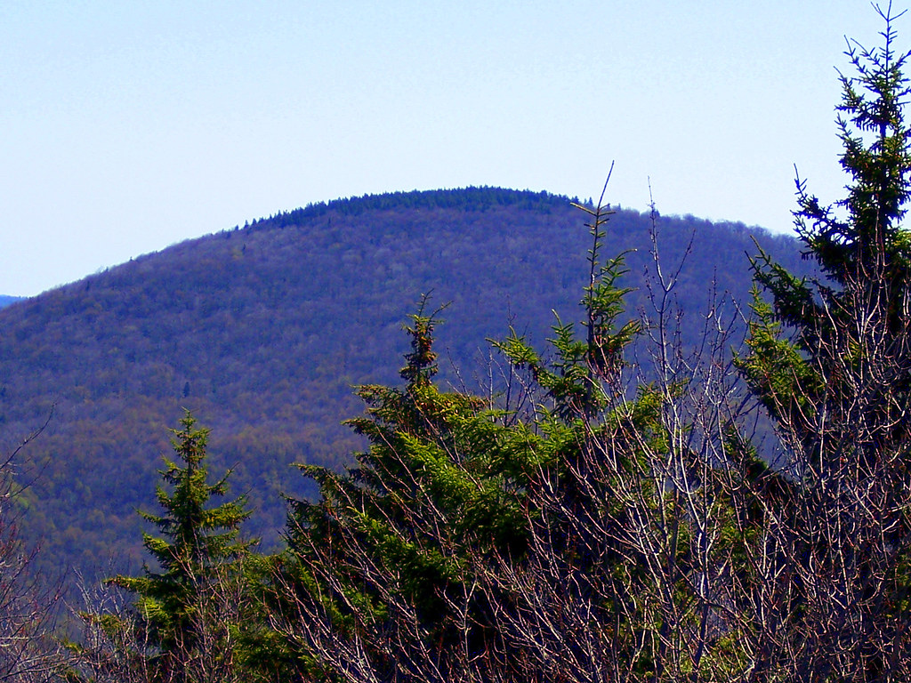
hill country
Cranberry Back Country along the Cow Pasture Trail
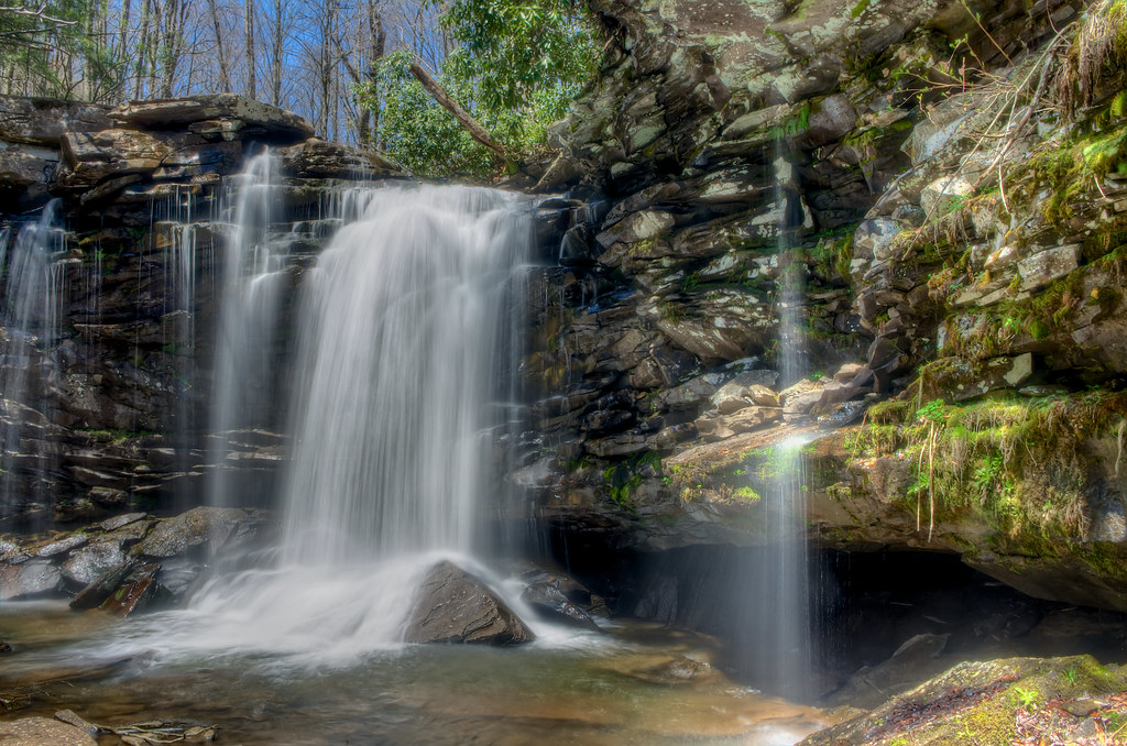
Middle Falls at Hill Creek
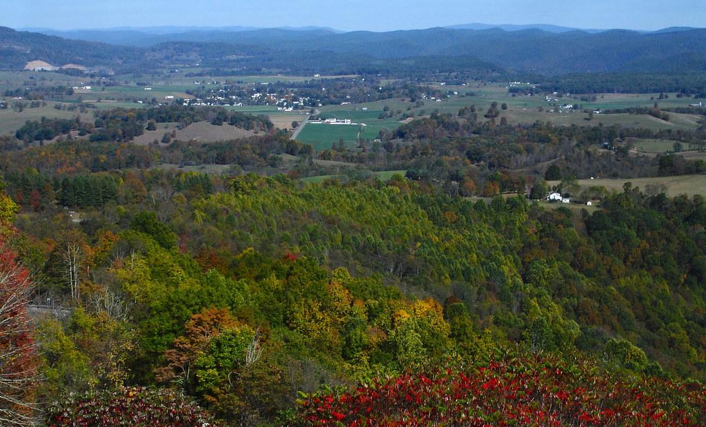
TrackHead Studios - Droop Mnt Battlefield far below

The Road To Beartown
Highrock Trail Overlook
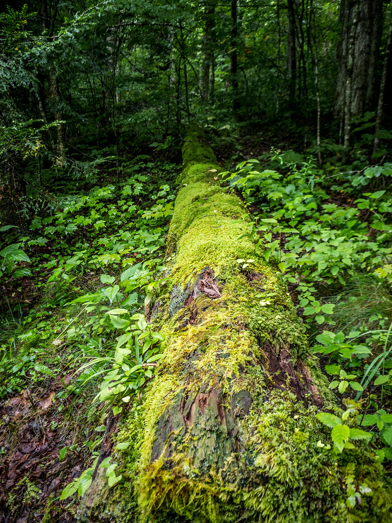
Moss Covered Log at Hills Creek Falls
Hills Creek Falls
Watoga State Park

_DSC0064 (1)
Falls of Hills Creek
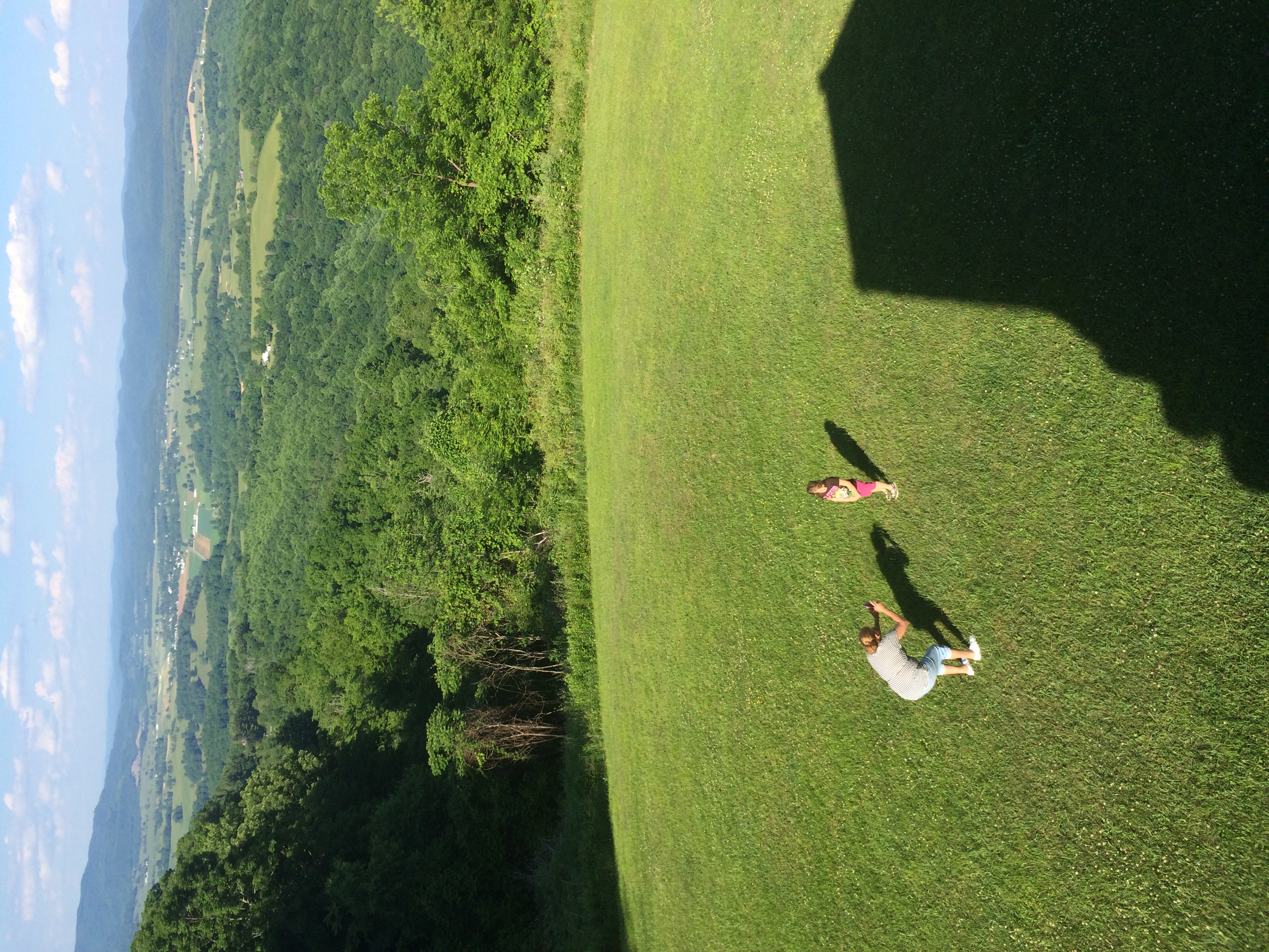
Katie and mom at Droop Mountain WV
Between the Pines
Topographic Map of Little Levels, WV, USA
Find elevation by address:

Places in Little Levels, WV, USA:
Places near Little Levels, WV, USA:
Hillsboro
Droop
Droop Mountain
Co Rte /1, Renick, WV, USA
Horrock
Greenbrier River Trail, Renick, WV, USA
1905 Robins Fork Rd
2899 Brownstown Rd
Auto
Slab Camp-auto Road
Rock Camp Road
8321 Leonard-cordova Rd
Panther Camp Road
Renick
U.s. 219
U.s. 219
U.s. 219
Sky Way
Sunlight
Recent Searches:
- Elevation of Leguwa, Nepal
- Elevation of County Rd, Enterprise, AL, USA
- Elevation of Kolchuginsky District, Vladimir Oblast, Russia
- Elevation of Shustino, Vladimir Oblast, Russia
- Elevation of Lampiasi St, Sarasota, FL, USA
- Elevation of Elwyn Dr, Roanoke Rapids, NC, USA
- Elevation of Congressional Dr, Stevensville, MD, USA
- Elevation of Bellview Rd, McLean, VA, USA
- Elevation of Stage Island Rd, Chatham, MA, USA
- Elevation of Shibuya Scramble Crossing, 21 Udagawacho, Shibuya City, Tokyo -, Japan