Elevation of Slab Camp-Auto Road, Slab Camp-Auto Rd, Renick, WV, USA
Location: United States > West Virginia > Greenbrier County > Eastern > White Sulphur Springs >
Longitude: -80.281123
Latitude: 37.9796545
Elevation: 762m / 2500feet
Barometric Pressure: 92KPa
Elevation Map:
Satellite Map:
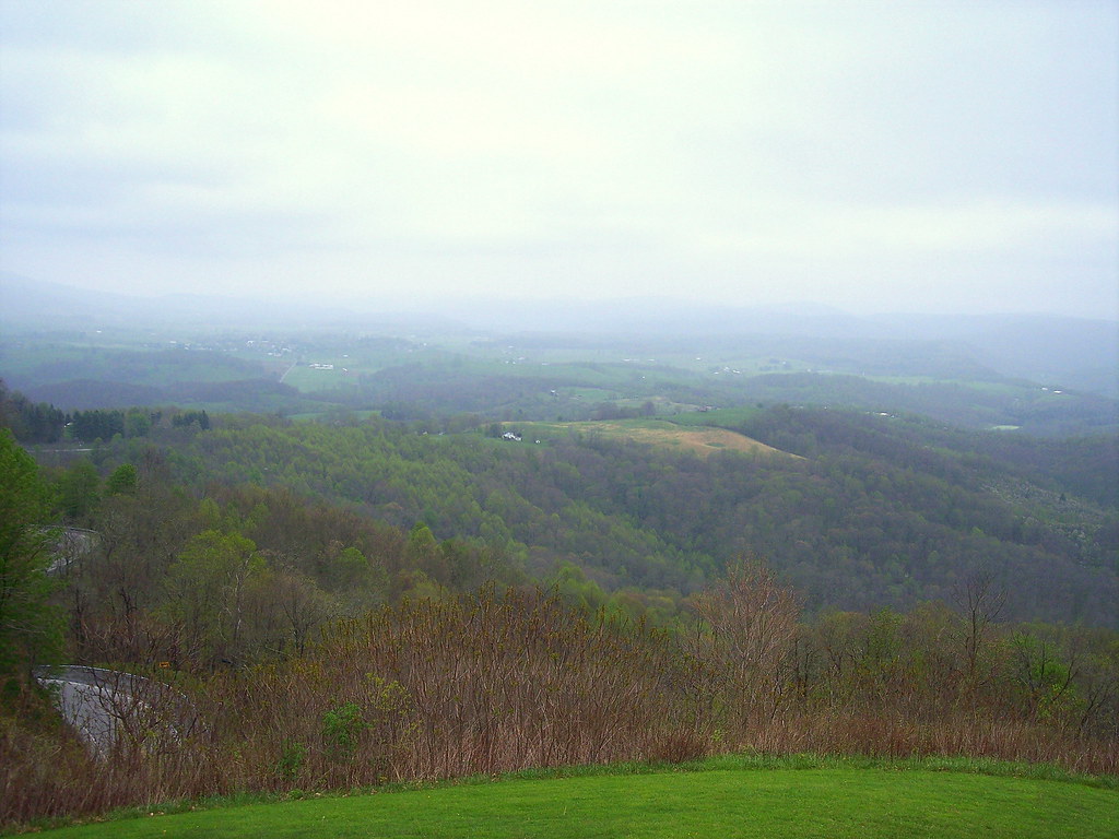
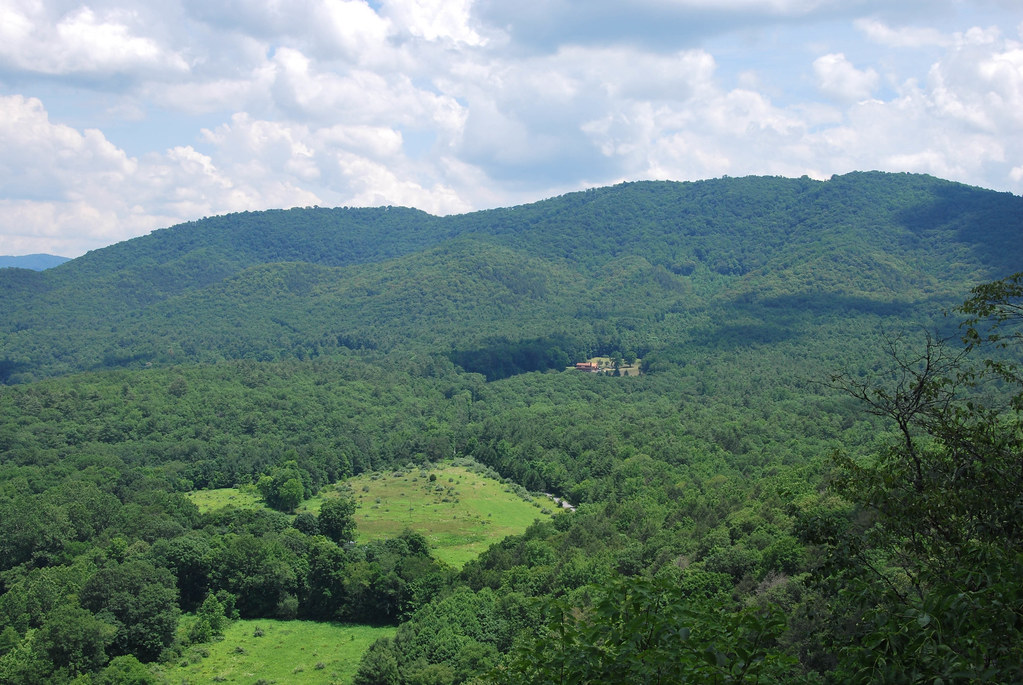
Related Photos:
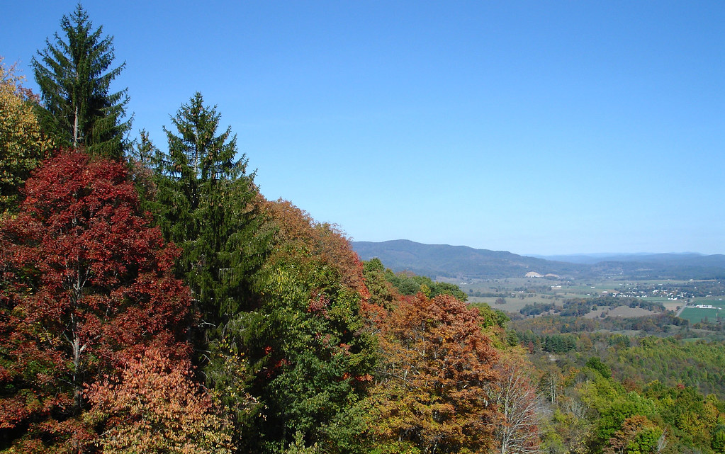
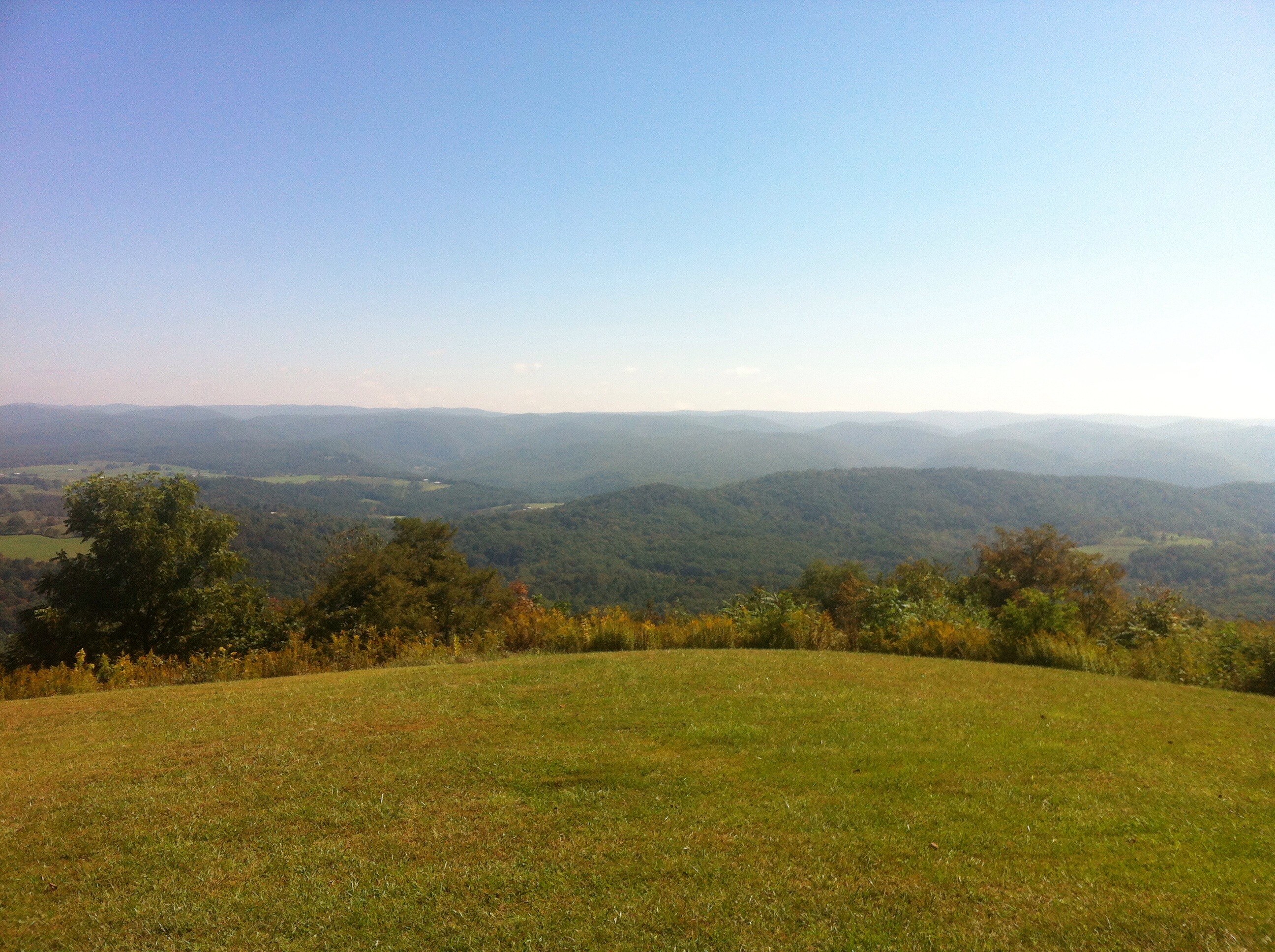
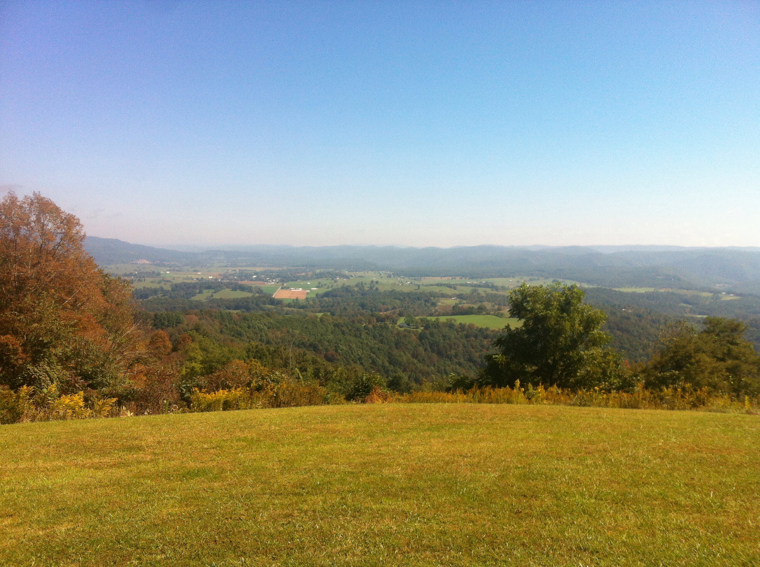
TrackHead Studios - Droop Mnt Battlefield - Fall View
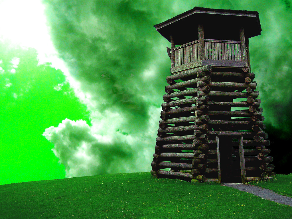
All Along the Watchtower
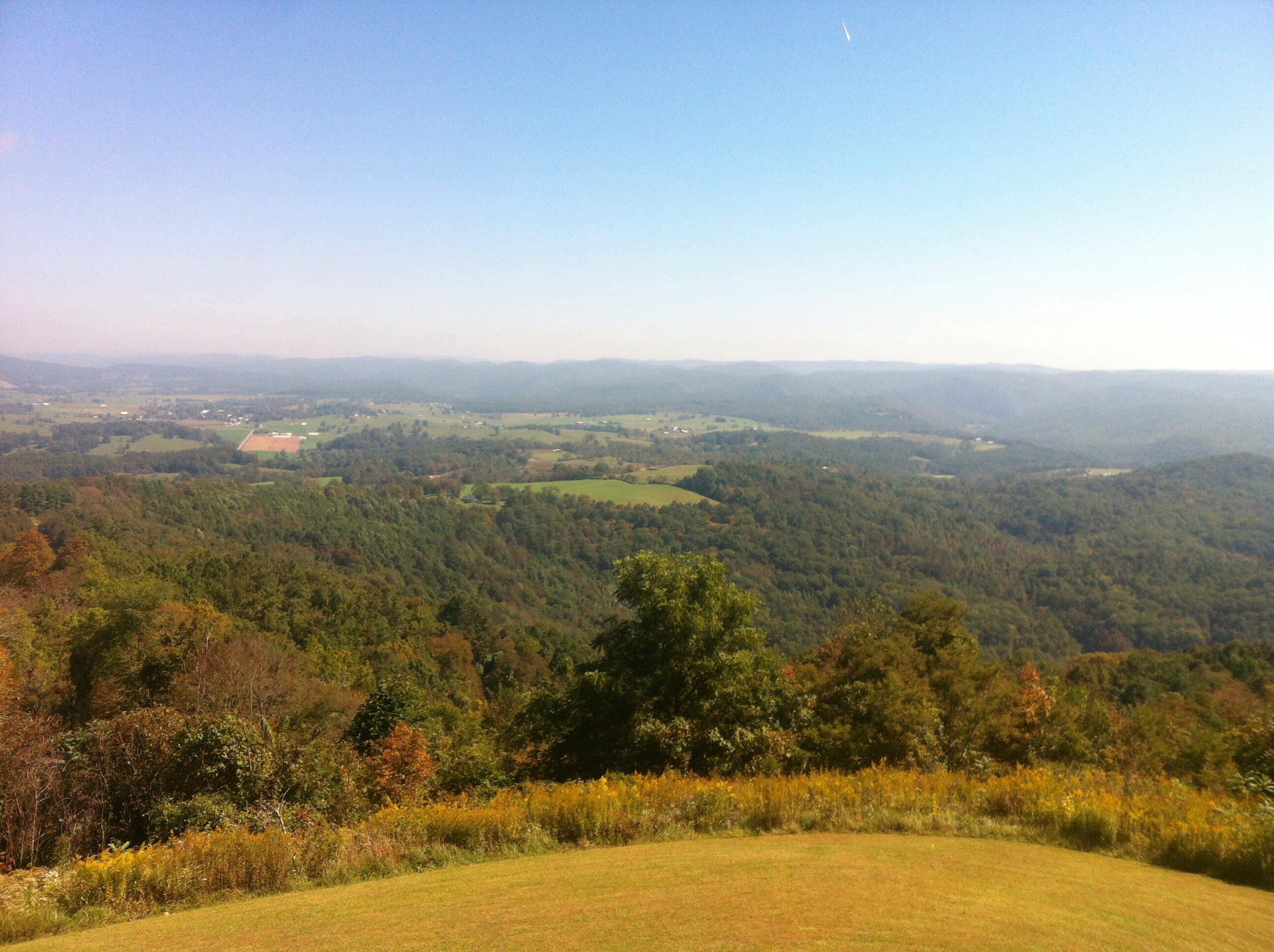
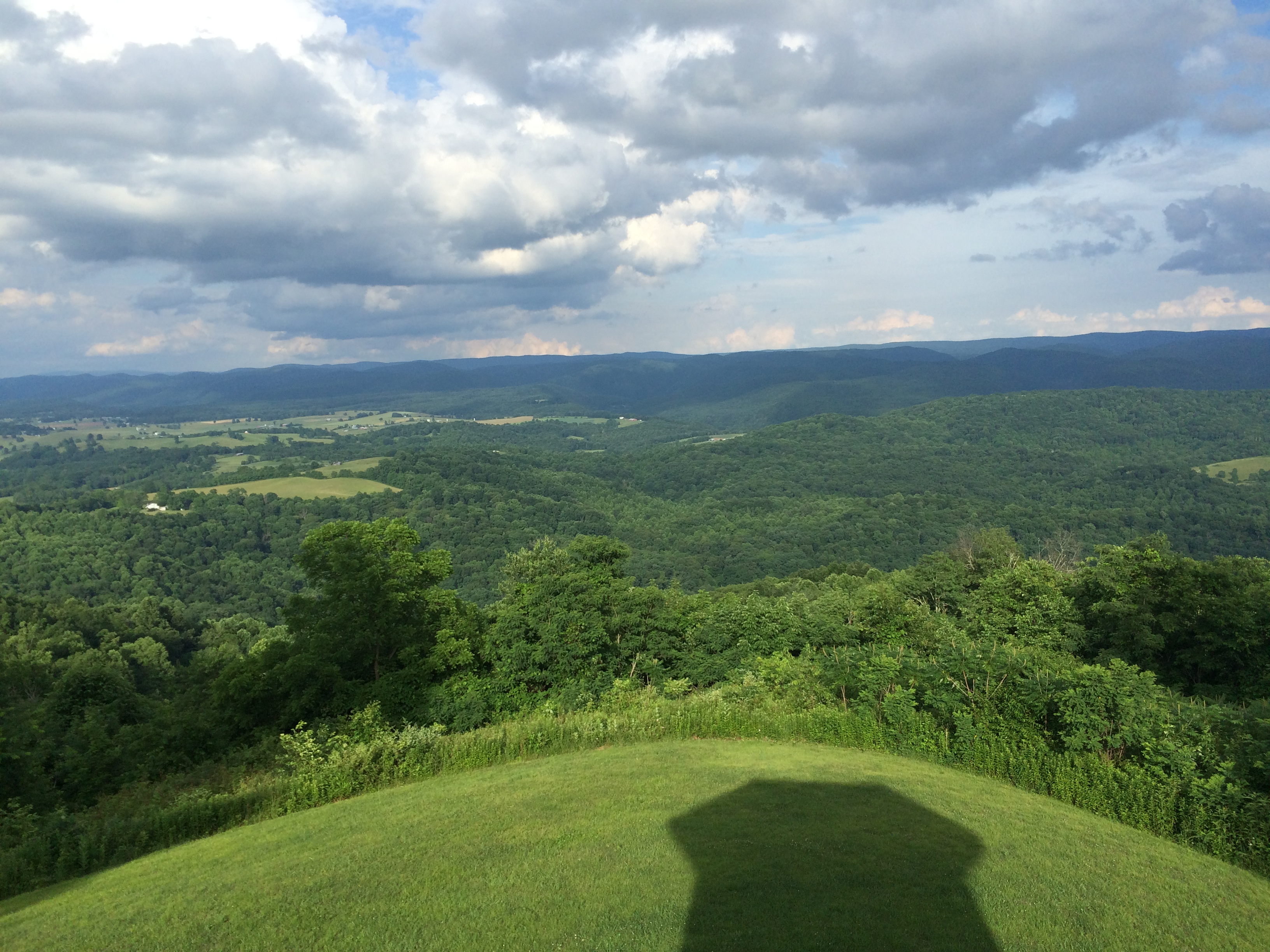
Droop Mountain Lookout Tower
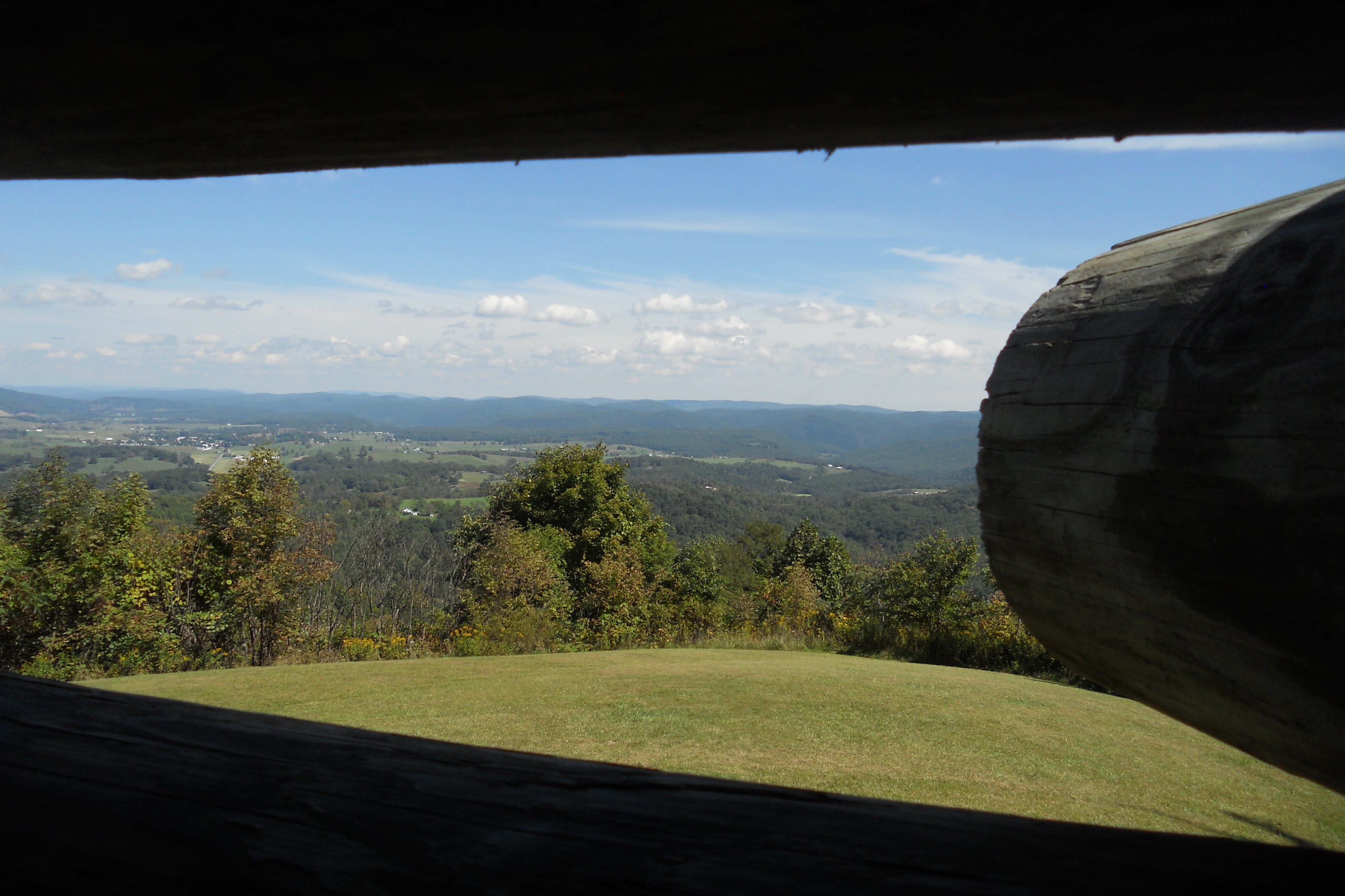
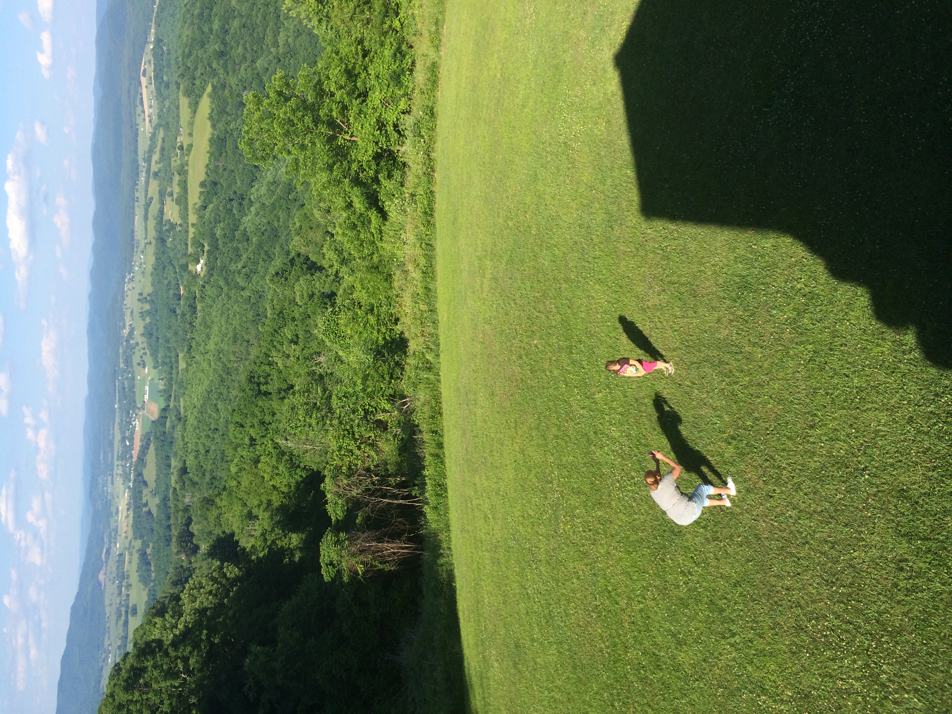
View from Droop Mtn watch tower
View from Droop Mtn watch tower
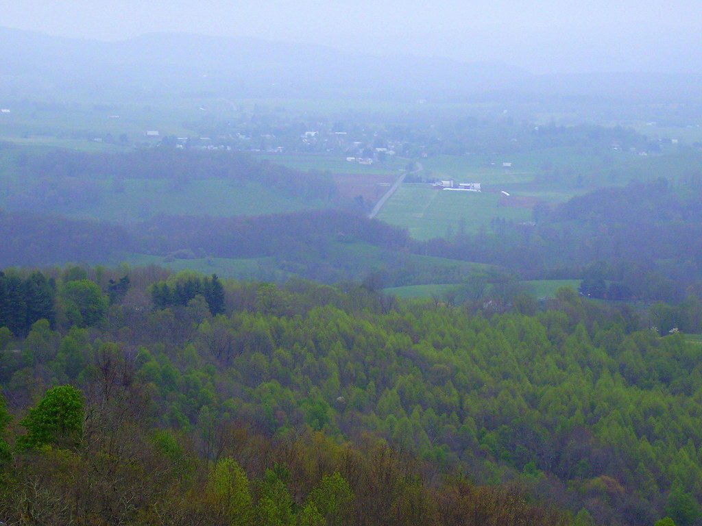
View from Droop Mtn Watch Tower

Blue Bend

Blue Bend
Blue Bend

Blue Bend

Closer view of the Maxwelton blind valley

Snake Rock Sunrise

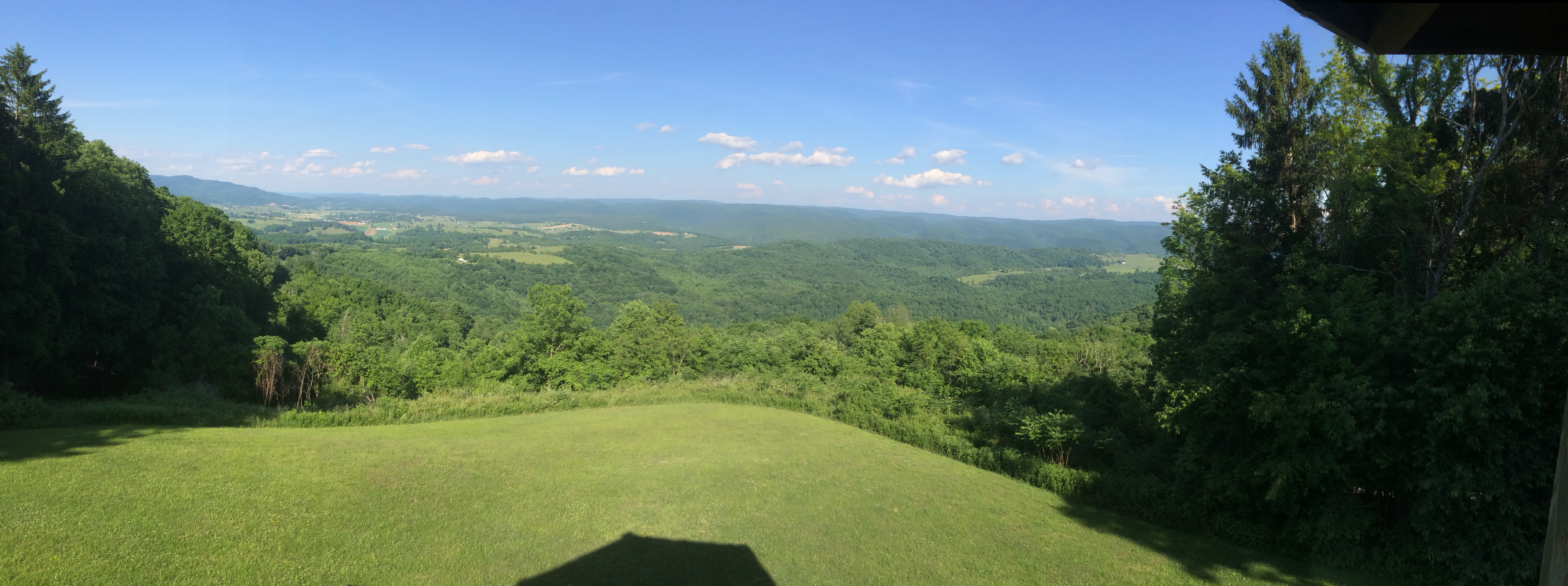
Droop Mountain Battlefield State Park WV - 2013-10-01 (20)

The Road To Beartown
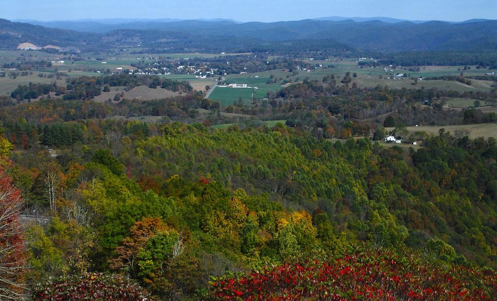
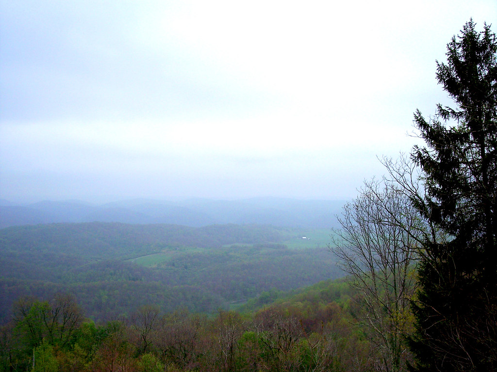
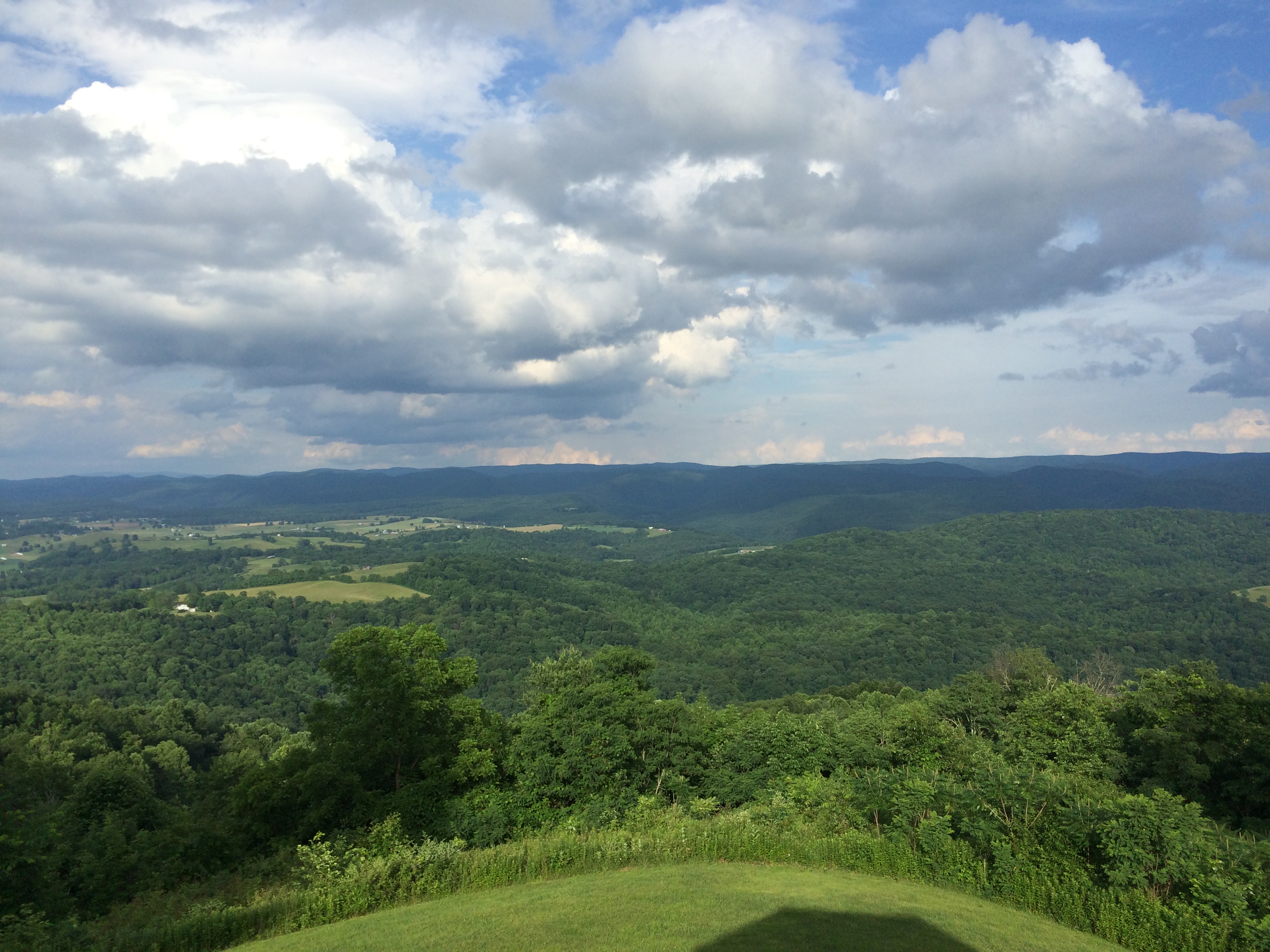
TrackHead Studios - Droop Mnt Battlefield far below
Katie and mom at Droop Mountain WV

Droop Mountain Battlefield State Park WV - 2013-10-01 (13)

Droop Mountain Battlefield State Park WV - 2013-10-01 (1)
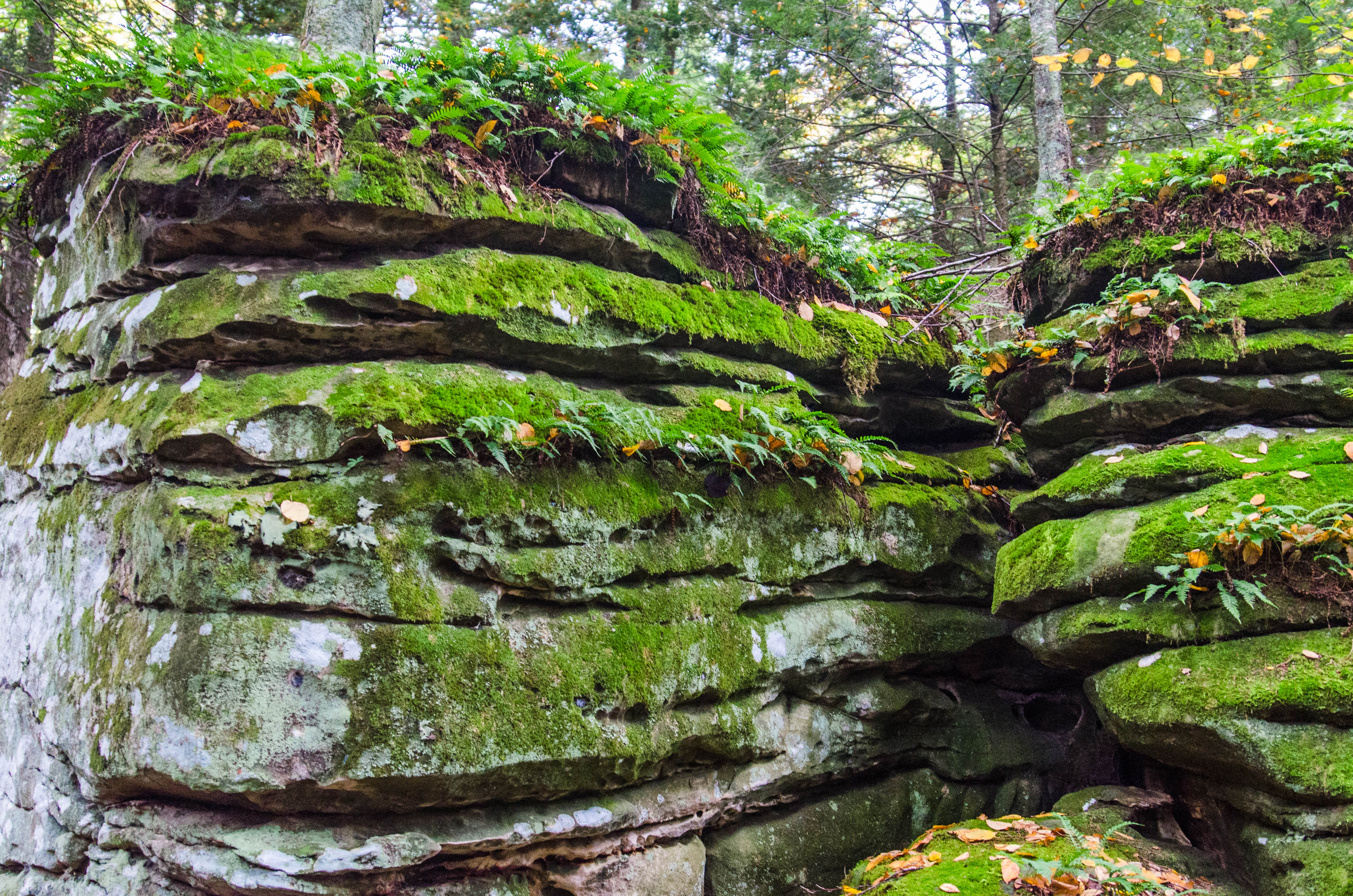
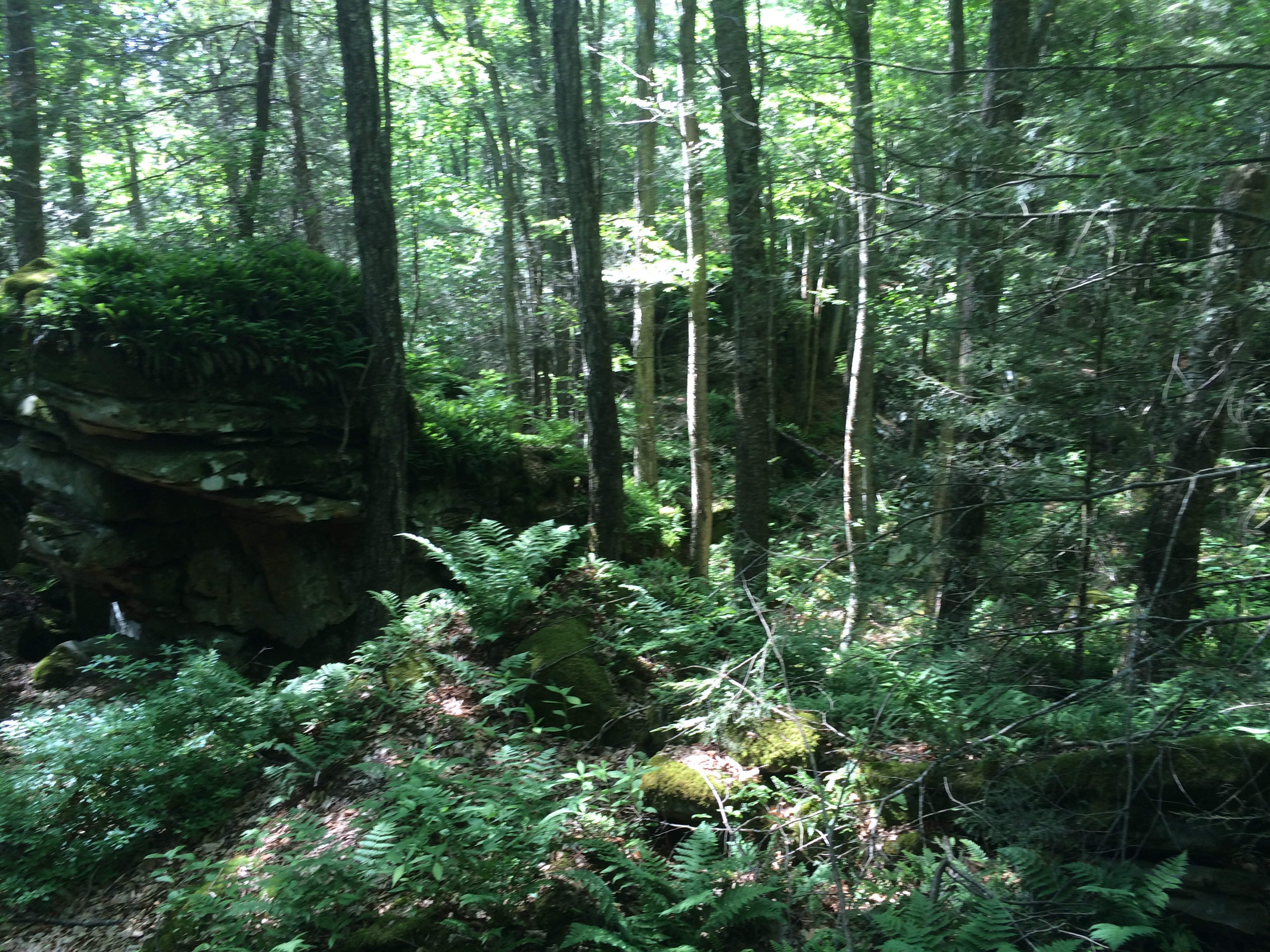
Beartown State Park, West Virginia
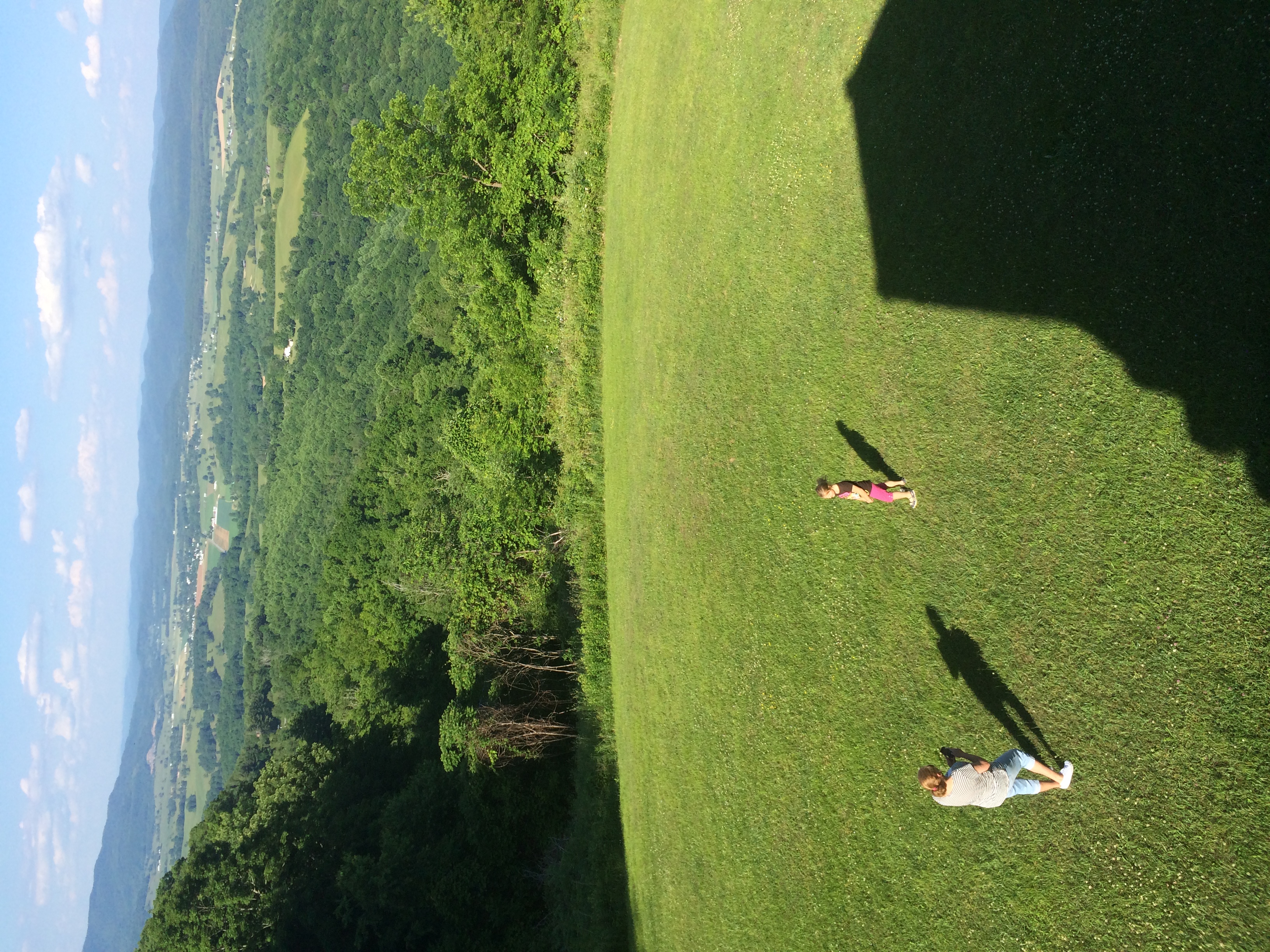
Katie and Mom at Droop Mountain WV
WV state trip
Droop Mountain State Park
Bear Town State Park WV
Droop Mountain State Park
Droop Mountain WV
Bear Town State Park WV
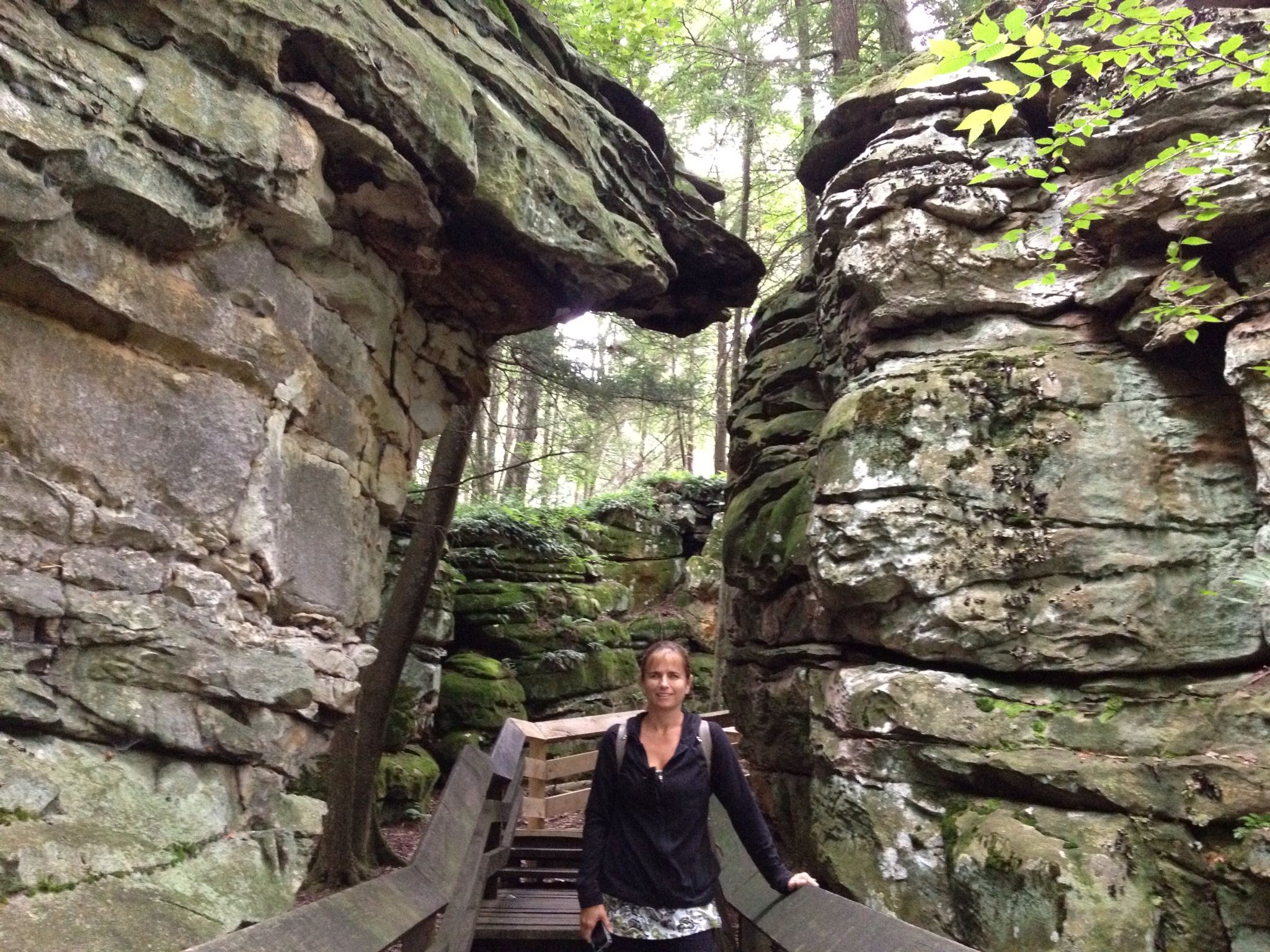
IMAGE_81DB6992-EBE5-4929-ACAF-C99A412C879D.JPG
Droop Mountain State Park
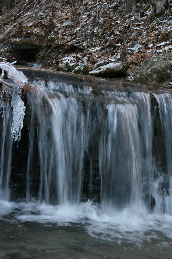
Stream Shots

Droop Mountain State Park

Anthony Creek, Monongahela NF, West Virgina
WV state trip
Topographic Map of Slab Camp-Auto Road, Slab Camp-Auto Rd, Renick, WV, USA
Find elevation by address:

Places near Slab Camp-Auto Road, Slab Camp-Auto Rd, Renick, WV, USA:
Auto
2899 Brownstown Rd
Greenbrier River Trail, Renick, WV, USA
Horrock
Droop Mountain
Renick
Co Rte /1, Renick, WV, USA
U.s. 219
U.s. 219
U.s. 219
Droop
1905 Robins Fork Rd
8321 Leonard-cordova Rd
Rock Camp Road
Little Levels
Panther Camp Road
Hillsboro
Sunlight
Sky Way
Recent Searches:
- Elevation of E Brightview Ave, Pittsburgh, PA, USA
- Elevation of Cavendish Rd, Harringay Ladder, London N4 1RR, UK
- Elevation of 1 Zion Park Blvd, Springdale, UT, USA
- Elevation of Ganderbal
- Elevation map of Konkan Division, Maharashtra, India
- Elevation of Netaji Nagar, Hallow Pul, Kurla, Mumbai, Maharashtra, India
- Elevation of Uralsk, Kazakhstan
- Elevation of 45- Kahana Dr, Honokaa, HI, USA
- Elevation of New Mexico 30, NM-30, Española, NM, USA
- Elevation of Santmyer Way, Charles Town, WV, USA