Elevation of Little Falls, WI, USA
Location: United States > Wisconsin > Monroe County >
Longitude: -90.886583
Latitude: 44.1116131
Elevation: 248m / 814feet
Barometric Pressure: 98KPa
Elevation Map:
Satellite Map:
Related Photos:

Wegner Grotto

Wegner Grotto

Wegner Grotto

5 Lost Falls

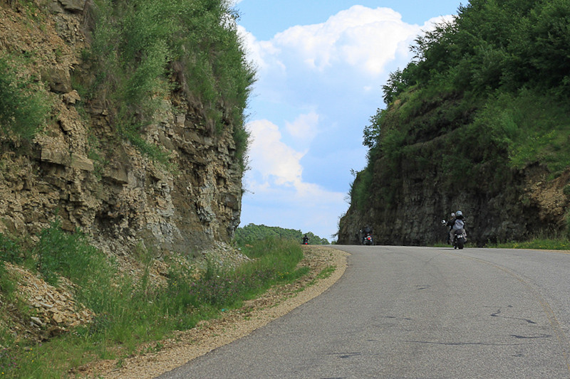
Bridging Lost Falls

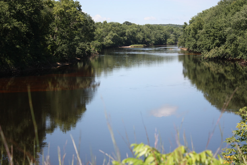
Wall along the Black
August 14, 2011
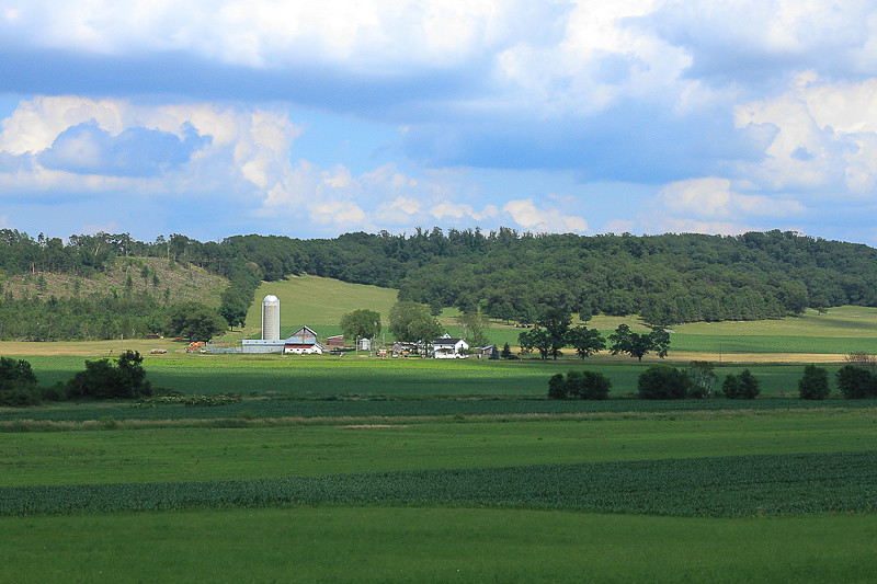
Farm land
June 24, 2012

Fall Color on the Black
Topographic Map of Little Falls, WI, USA
Find elevation by address:

Places in Little Falls, WI, USA:
Places near Little Falls, WI, USA:
Canton Rd, Sparta, WI, USA
N3595
Manchester
Sparta
Lafayette
Burns
620 Gebhardt Rd
16065 Hammock Rd
405 Wi-54 Trunk
W11347 Spaulding Rd
Sparta
S Court St, Sparta, WI, USA
1217 Jane Dr
Black River Falls
7961 County Rd O
N5920
W10003
Rock St, Rockland, WI, USA
Aasen Road
Monroe County
Recent Searches:
- Elevation of Lampiasi St, Sarasota, FL, USA
- Elevation of Elwyn Dr, Roanoke Rapids, NC, USA
- Elevation of Congressional Dr, Stevensville, MD, USA
- Elevation of Bellview Rd, McLean, VA, USA
- Elevation of Stage Island Rd, Chatham, MA, USA
- Elevation of Shibuya Scramble Crossing, 21 Udagawacho, Shibuya City, Tokyo -, Japan
- Elevation of Jadagoniai, Kaunas District Municipality, Lithuania
- Elevation of Pagonija rock, Kranto 7-oji g. 8"N, Kaunas, Lithuania
- Elevation of Co Rd 87, Jamestown, CO, USA
- Elevation of Tenjo, Cundinamarca, Colombia