Elevation of Burns, WI, USA
Location: United States > Wisconsin > La Crosse County >
Longitude: -90.962952
Latitude: 43.9587056
Elevation: 237m / 778feet
Barometric Pressure: 99KPa
Elevation Map:
Satellite Map:
Related Photos:

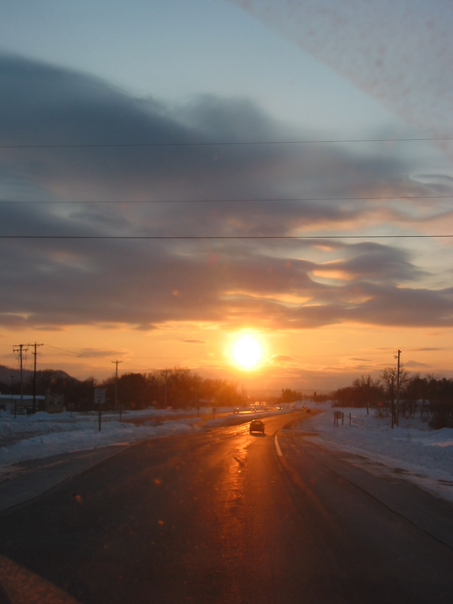
A great view heading home from work. #nature #calmafterthestorm #westsalem #wisconsin #bluffcountry

Old World Look

My view for 1.5 hours

Wegner Grotto

Wegner Grotto

Wegner Grotto

Perch Lake - Sparta, WI

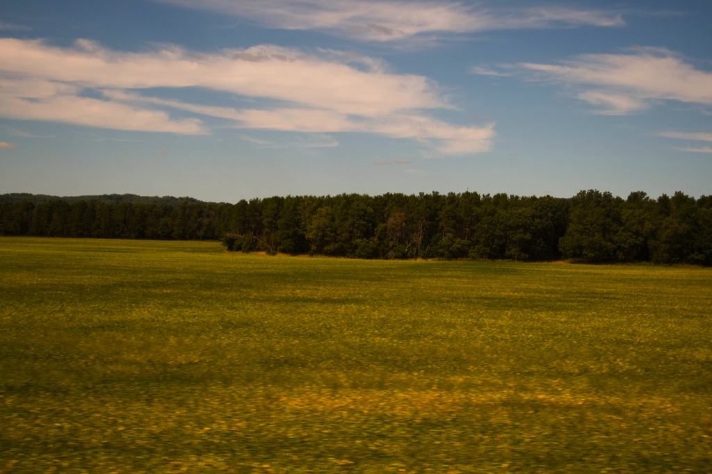
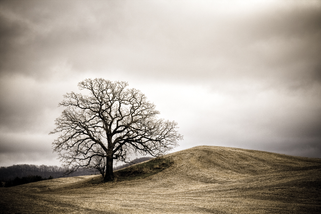
Rural Western Wisconsin USA
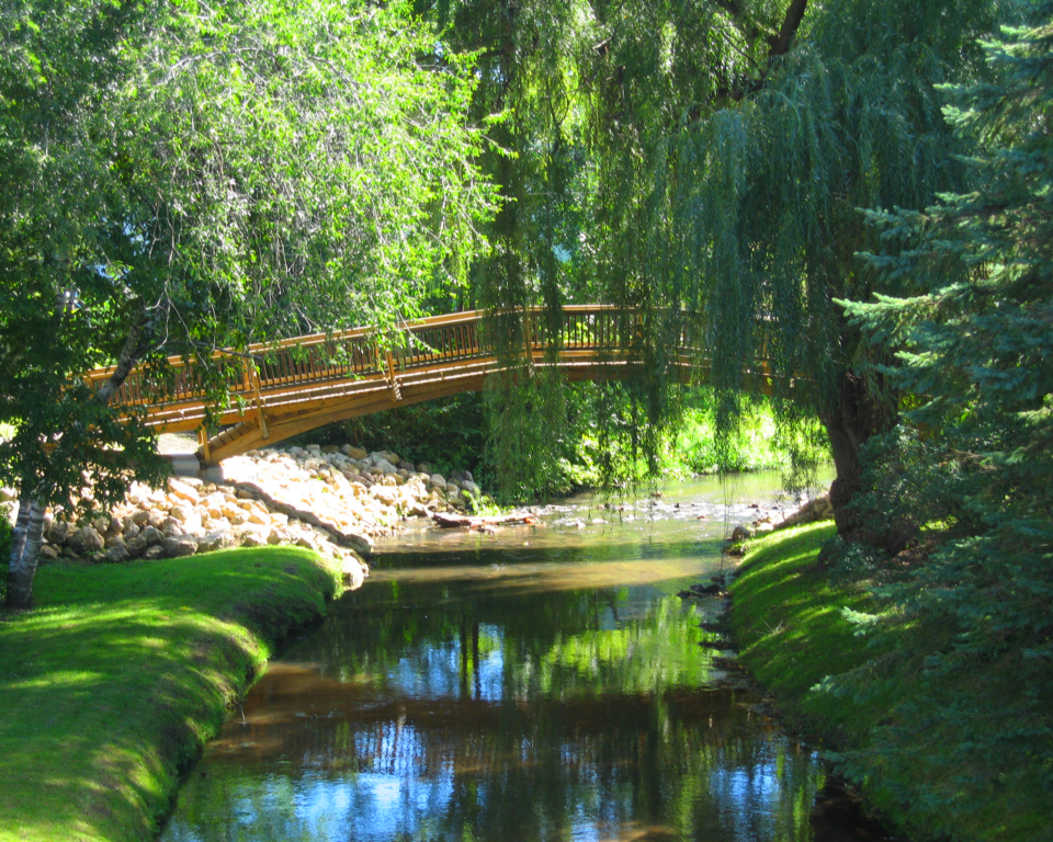
Hidden Bridge

Perch Lake - Sparta, WI

Flower - Sparta, WI

Unfrozen Stream
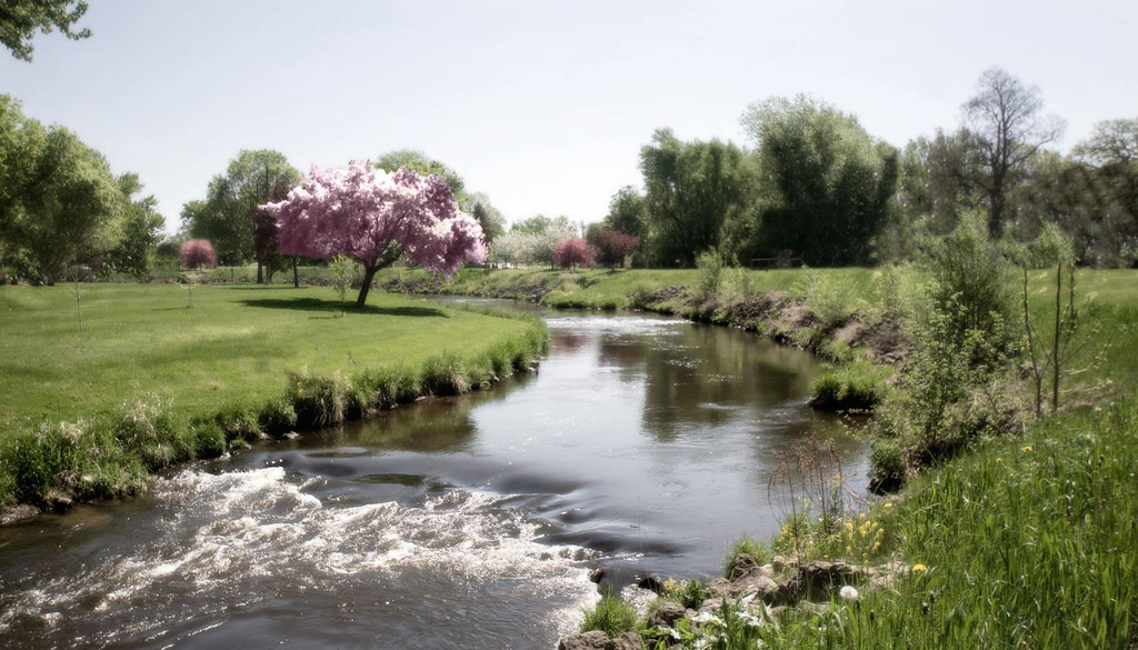
Lazy River
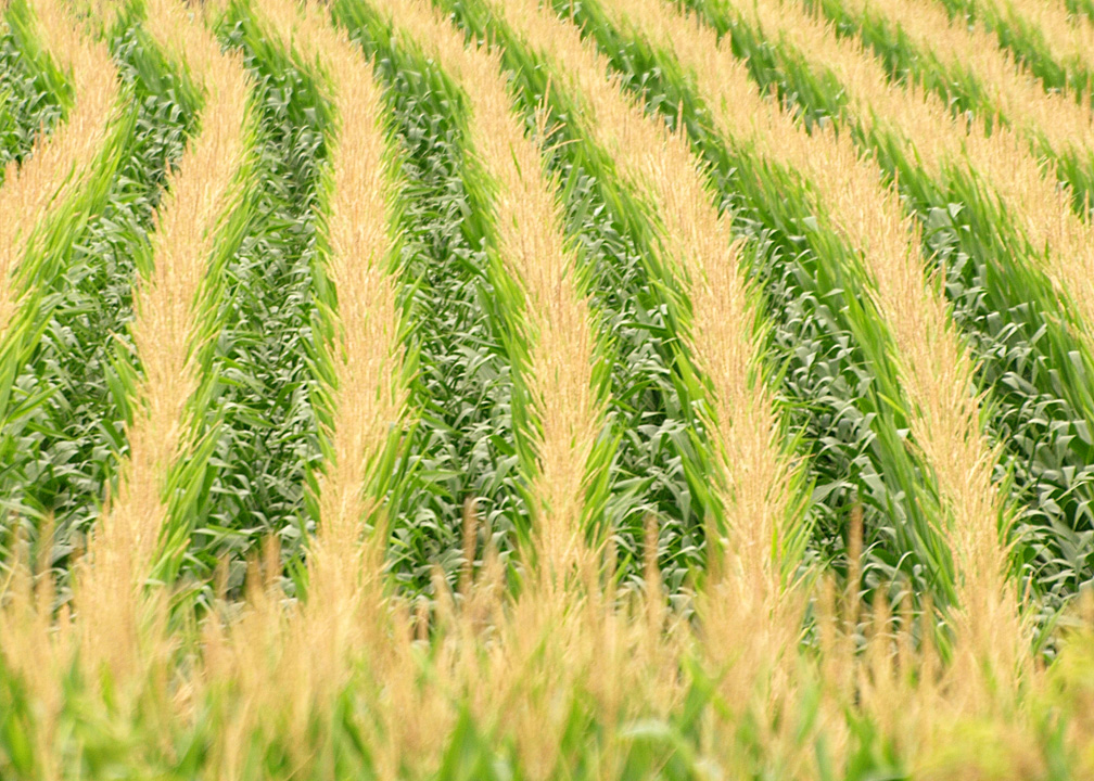
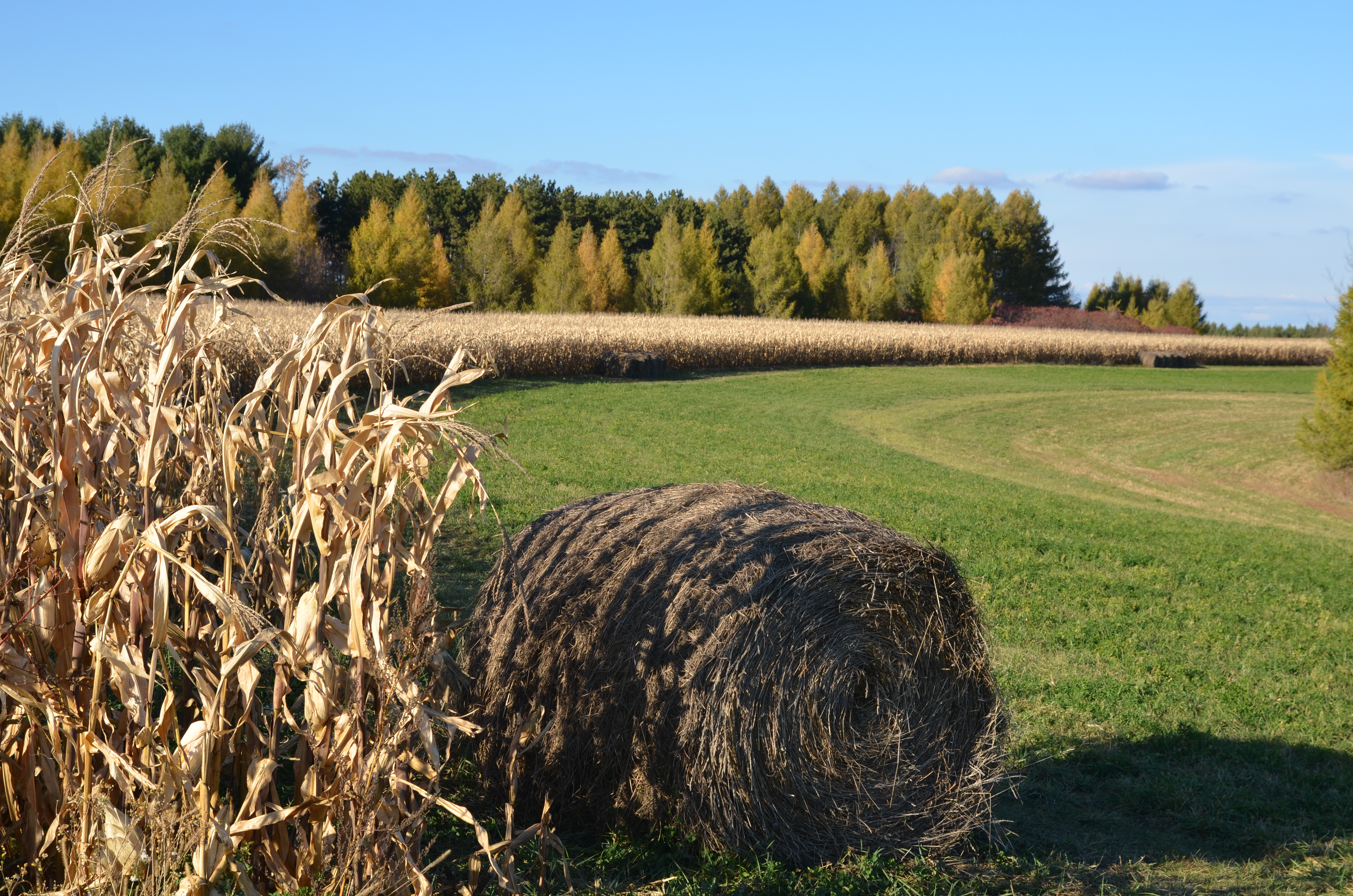
Tassel Territory

Flowers - Sparta, WI

Flowers - Sparta, WI
Seattle_Train_Trip-213
The Sun!
Bring on Winter...

Perch Lake - Sparta, WI
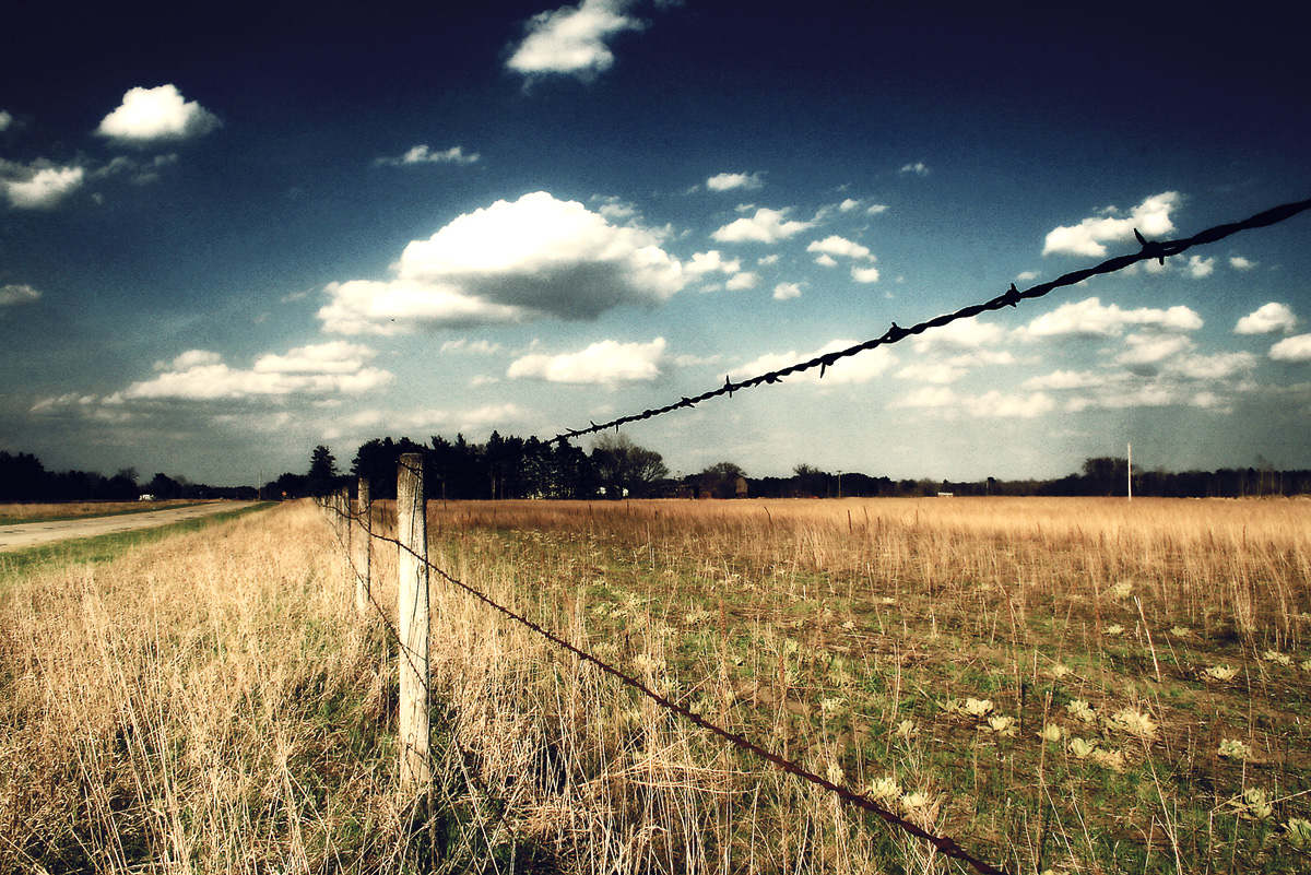
The Back Roads

Flower - Sparta, WI
day05 318

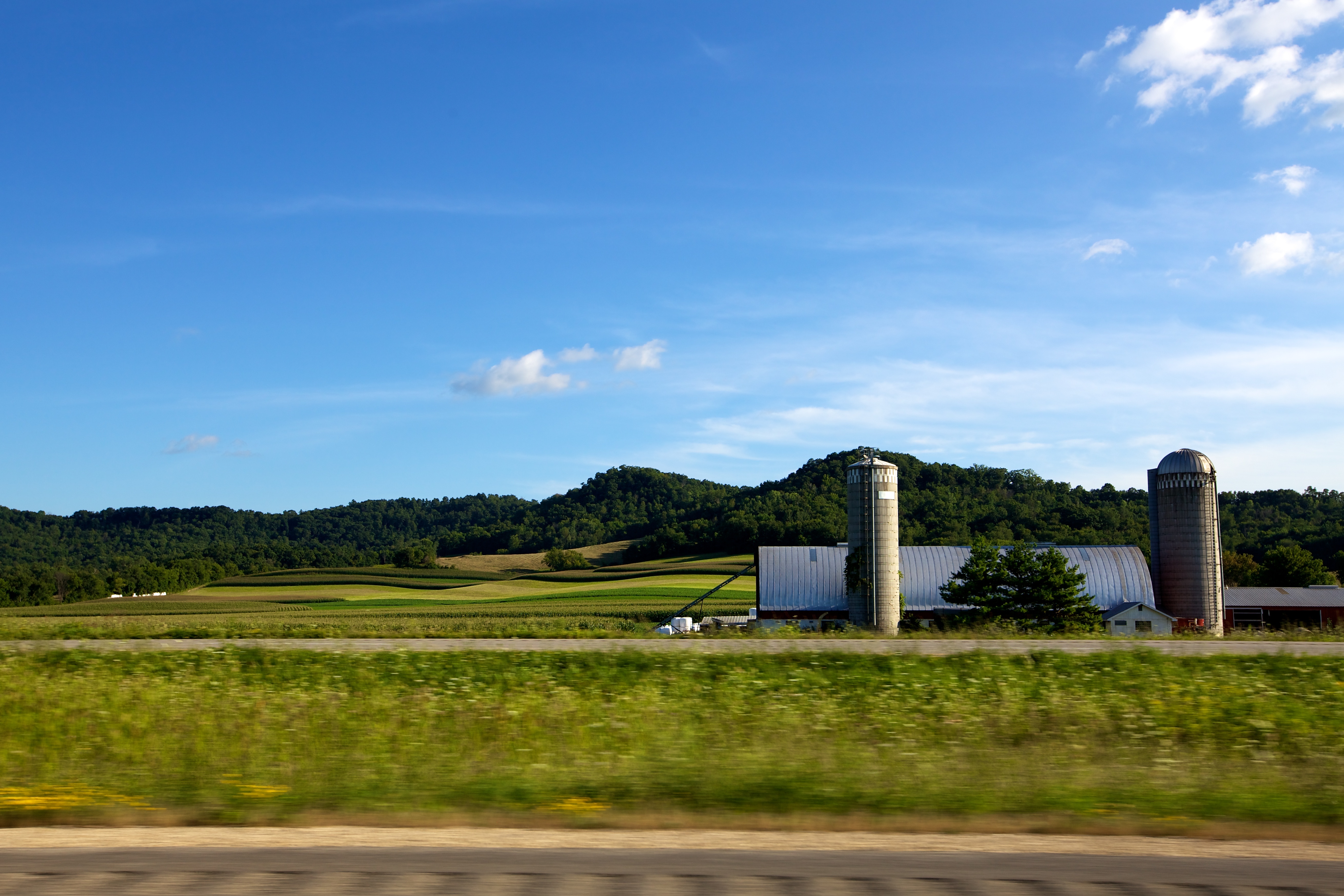
Blue and Gold at Bangor

Flower - Sparta, WI
Autumn Abundance

Flower - Sparta, WI
Topographic Map of Burns, WI, USA
Find elevation by address:

Places in Burns, WI, USA:
Places near Burns, WI, USA:
N5920
Aasen Road
Rock St, Rockland, WI, USA
Sparta
16065 Hammock Rd
Garland St E, West Salem, WI, USA
County Road M
Sparta
S Court St, Sparta, WI, USA
State Hwy 33 Trunk, Bangor, WI, USA
Little Falls
1217 Jane Dr
Canton Rd, Sparta, WI, USA
Ridgeview Dr, La Crosse, WI, USA
Washington
La Crosse County
Monroe County
Co Hwy X, Sparta, WI, USA
1212 Beverly Dr
Portland
Recent Searches:
- Elevation of Congressional Dr, Stevensville, MD, USA
- Elevation of Bellview Rd, McLean, VA, USA
- Elevation of Stage Island Rd, Chatham, MA, USA
- Elevation of Shibuya Scramble Crossing, 21 Udagawacho, Shibuya City, Tokyo -, Japan
- Elevation of Jadagoniai, Kaunas District Municipality, Lithuania
- Elevation of Pagonija rock, Kranto 7-oji g. 8"N, Kaunas, Lithuania
- Elevation of Co Rd 87, Jamestown, CO, USA
- Elevation of Tenjo, Cundinamarca, Colombia
- Elevation of Côte-des-Neiges, Montreal, QC H4A 3J6, Canada
- Elevation of Bobcat Dr, Helena, MT, USA