Elevation of Little Costilla Peak, New Mexico, USA
Location: United States > New Mexico > Colfax County >
Longitude: -105.22222
Latitude: 36.833362
Elevation: 3824m / 12546feet
Barometric Pressure: 63KPa
Elevation Map:
Satellite Map:
Related Photos:
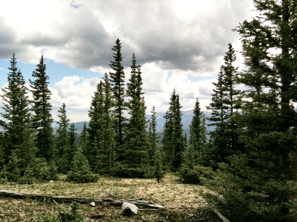
Mountain Top
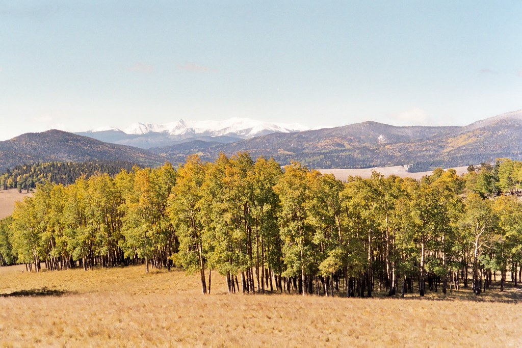
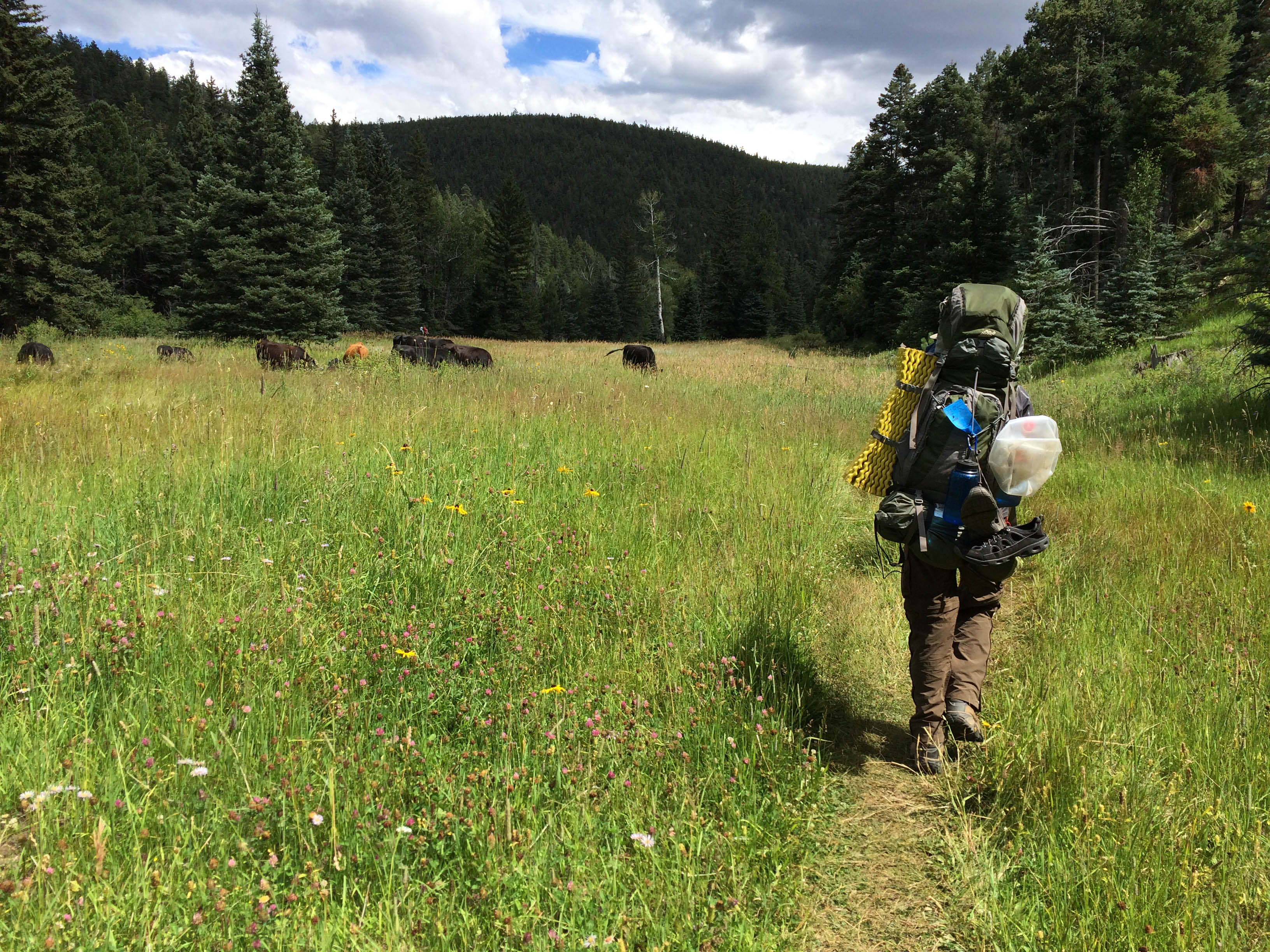
Valle Vidal
Valle Vidal - New Mexico

Valle Vidal - New Mexico

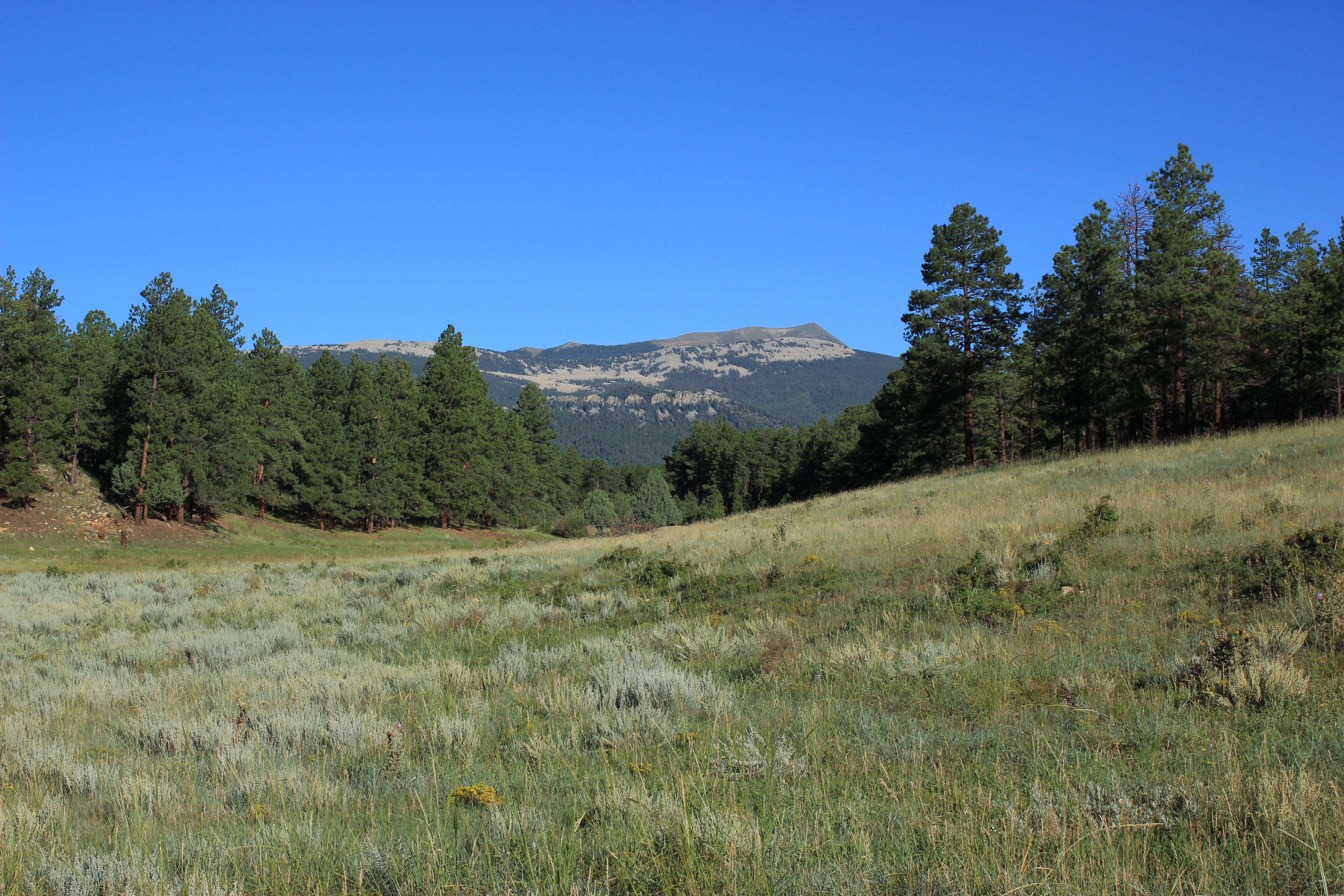
Vermejo Park Ranch in July
Vermejo Park Ranch in July
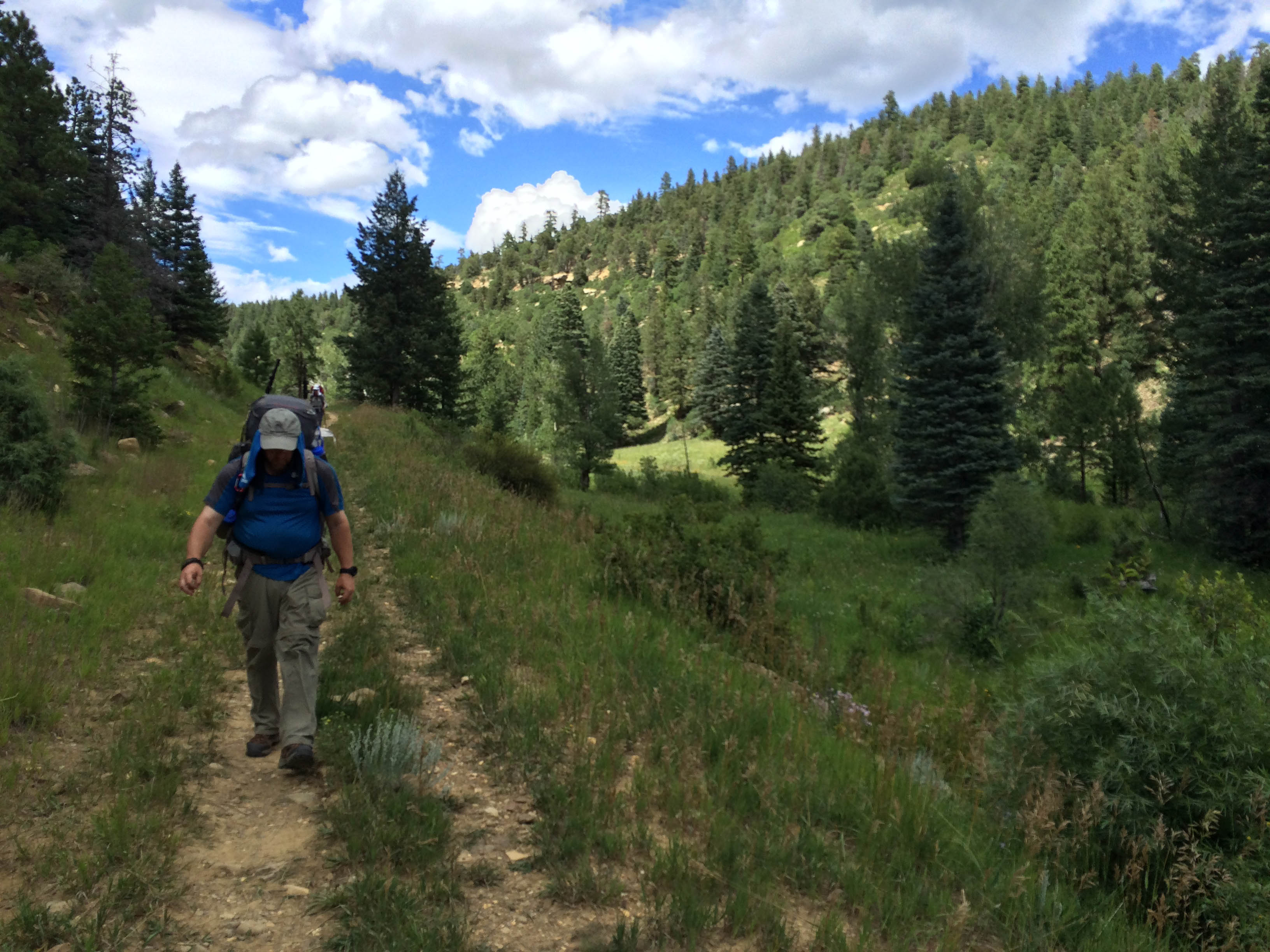
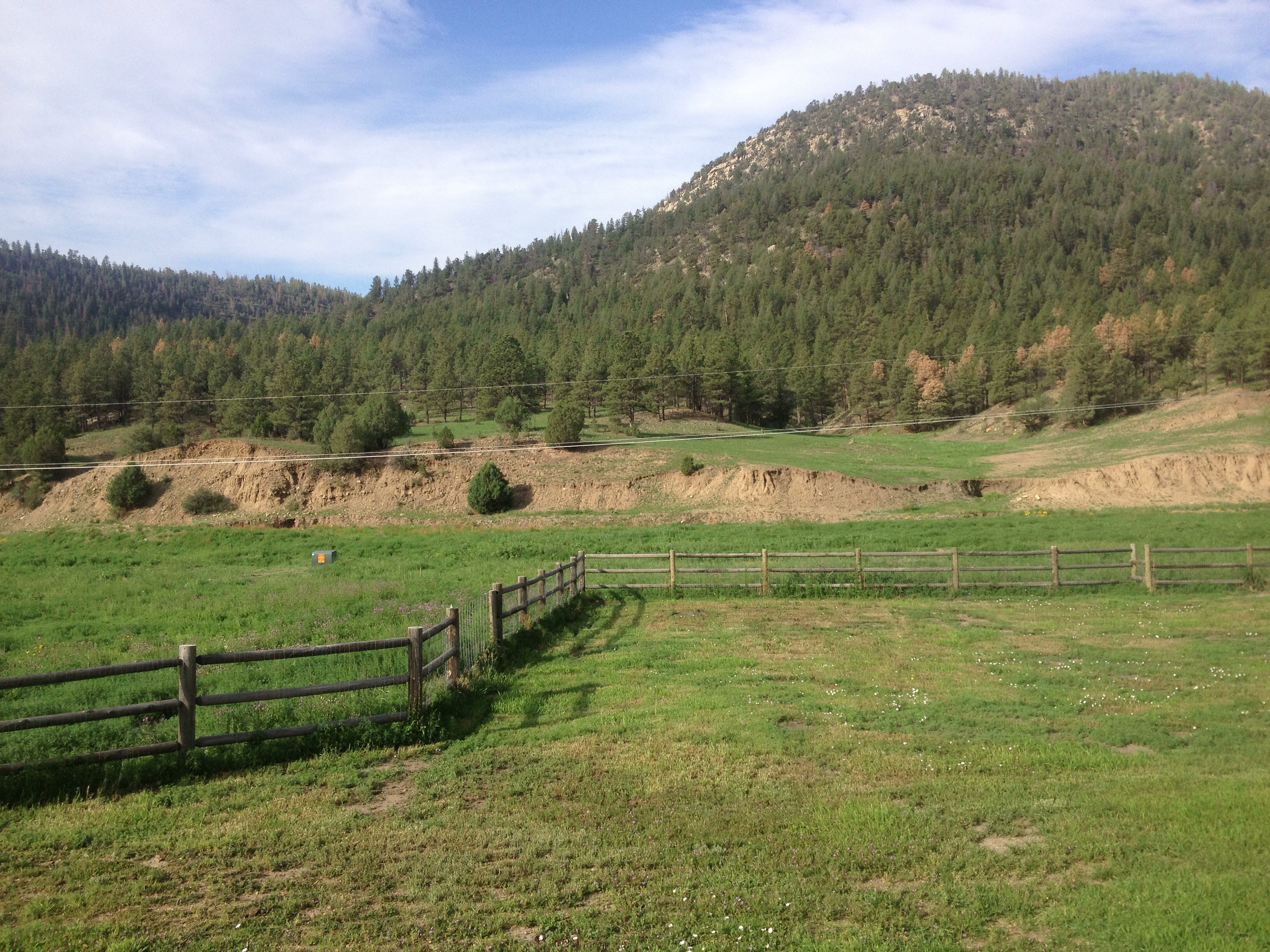
Hiking to Greenwood Canyon
Hiking to Greenwood Canyon
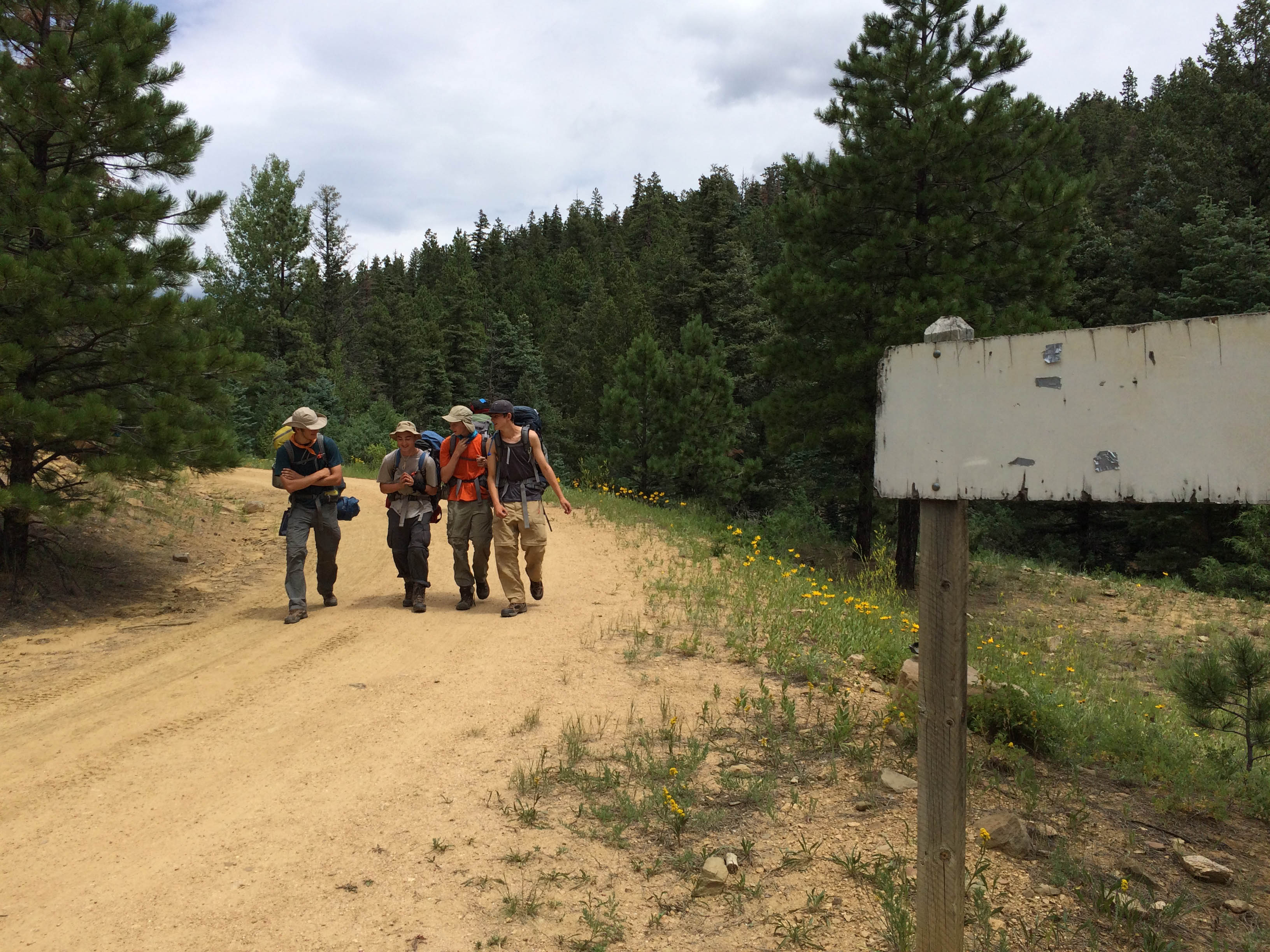
Blank sign on the road from Iris Park

Besökare Samtidigt
Topographic Map of Little Costilla Peak, New Mexico, USA
Find elevation by address:

Places near Little Costilla Peak, New Mexico, USA:
Ash Mountain South
Cimarron Campground
The Wall South
Van Diest Peak
Greenie Peak
State Line Peak
Sangre De Cristo
Enchanted Forest Cross Country Ski Area
Baldy Mountain
562 Nm-578
Tall Pine Resort
East High Street
Red River
111 Mallette Rd
Sawmill Mountain
La Belle Trail
44 Valley Of The Pines Rd
1501 W Main St
Purgatoire Peak
27 Upper Red River Valley Rd
Recent Searches:
- Elevation of Corso Fratelli Cairoli, 35, Macerata MC, Italy
- Elevation of Tallevast Rd, Sarasota, FL, USA
- Elevation of 4th St E, Sonoma, CA, USA
- Elevation of Black Hollow Rd, Pennsdale, PA, USA
- Elevation of Oakland Ave, Williamsport, PA, USA
- Elevation of Pedrógão Grande, Portugal
- Elevation of Klee Dr, Martinsburg, WV, USA
- Elevation of Via Roma, Pieranica CR, Italy
- Elevation of Tavkvetili Mountain, Georgia
- Elevation of Hartfords Bluff Cir, Mt Pleasant, SC, USA