Elevation of Greenie Peak, New Mexico, USA
Location: United States > New Mexico > Red River >
Longitude: -105.37917
Latitude: 36.7619736
Elevation: 3425m / 11237feet
Barometric Pressure: 66KPa
Elevation Map:
Satellite Map:
Related Photos:
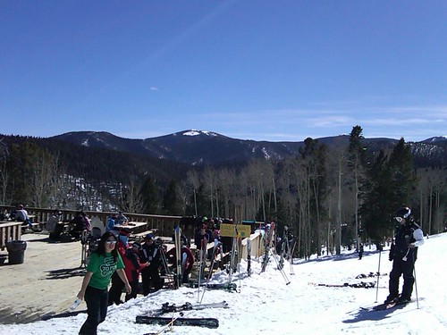
View from the top

Red River Pass
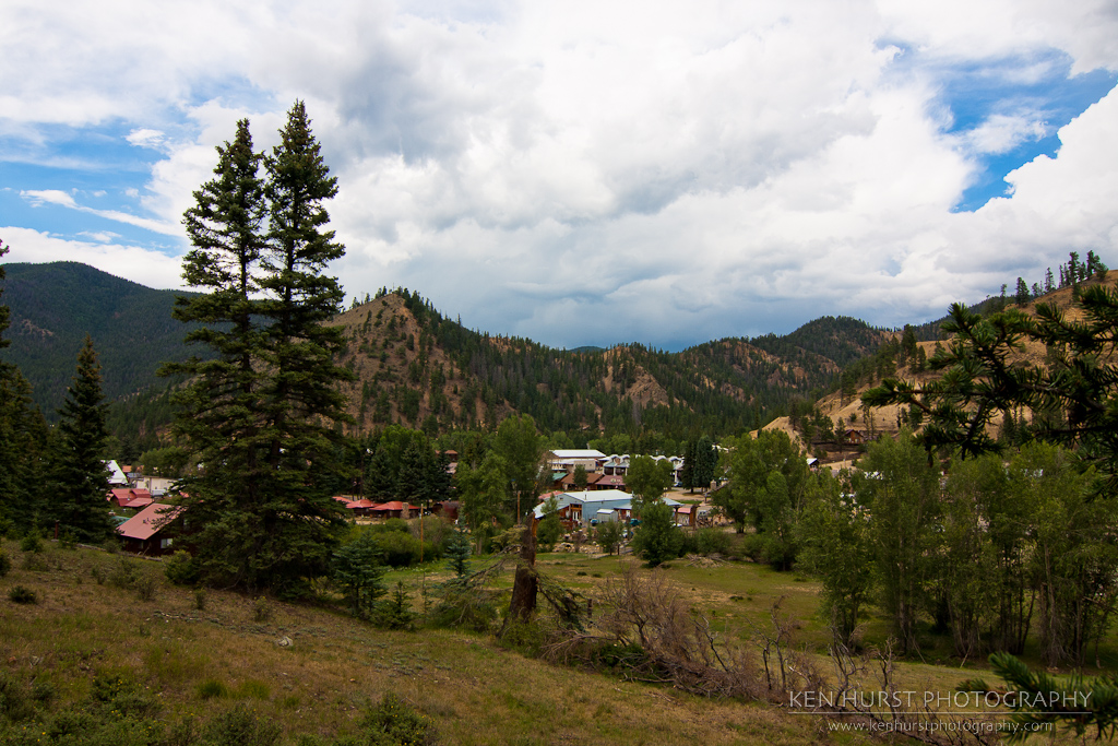
Red River, New Mexico
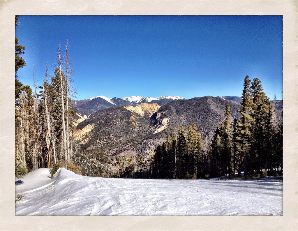
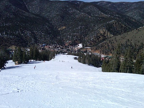
View from 10,000 feet
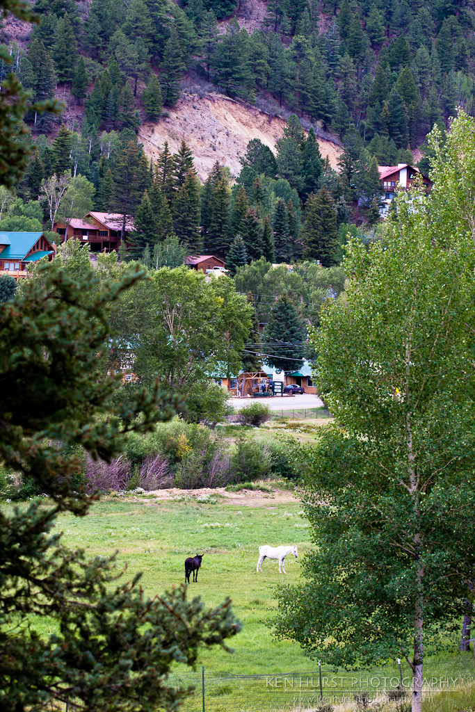
Pastoral New Mexico
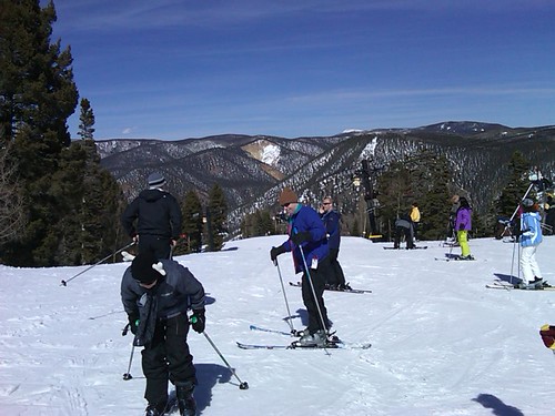
View from the top
The view of Broadway (a blue)

Stunt Area View from the Lift
Topographic Map of Greenie Peak, New Mexico, USA
Find elevation by address:

Places near Greenie Peak, New Mexico, USA:
Sawmill Mountain
111 Mallette Rd
East High Street
Red River
Van Diest Peak
La Belle Trail
Sangre De Cristo
Enchanted Forest Cross Country Ski Area
1501 W Main St
562 Nm-578
Tall Pine Resort
44 Valley Of The Pines Rd
Goose Lake Road
27 Upper Red River Valley Rd
Relica Peak
20 Hidden Valley Rd
20 Hidden Valley Rd
20 Hidden Valley Rd
20 Hidden Valley Rd
20 Hidden Valley Rd
Recent Searches:
- Elevation of Corso Fratelli Cairoli, 35, Macerata MC, Italy
- Elevation of Tallevast Rd, Sarasota, FL, USA
- Elevation of 4th St E, Sonoma, CA, USA
- Elevation of Black Hollow Rd, Pennsdale, PA, USA
- Elevation of Oakland Ave, Williamsport, PA, USA
- Elevation of Pedrógão Grande, Portugal
- Elevation of Klee Dr, Martinsburg, WV, USA
- Elevation of Via Roma, Pieranica CR, Italy
- Elevation of Tavkvetili Mountain, Georgia
- Elevation of Hartfords Bluff Cir, Mt Pleasant, SC, USA