Elevation of Linn Grove, IN, USA
Location: United States > Indiana > Adams County > Wabash Township > Berne >
Longitude: -84.919308
Latitude: 40.6651367
Elevation: 256m / 840feet
Barometric Pressure: 98KPa
Elevation Map:
Satellite Map:
Related Photos:

Wabash River

Limberlost Creek

Skull-Face

shadow's view

Autumn Gold
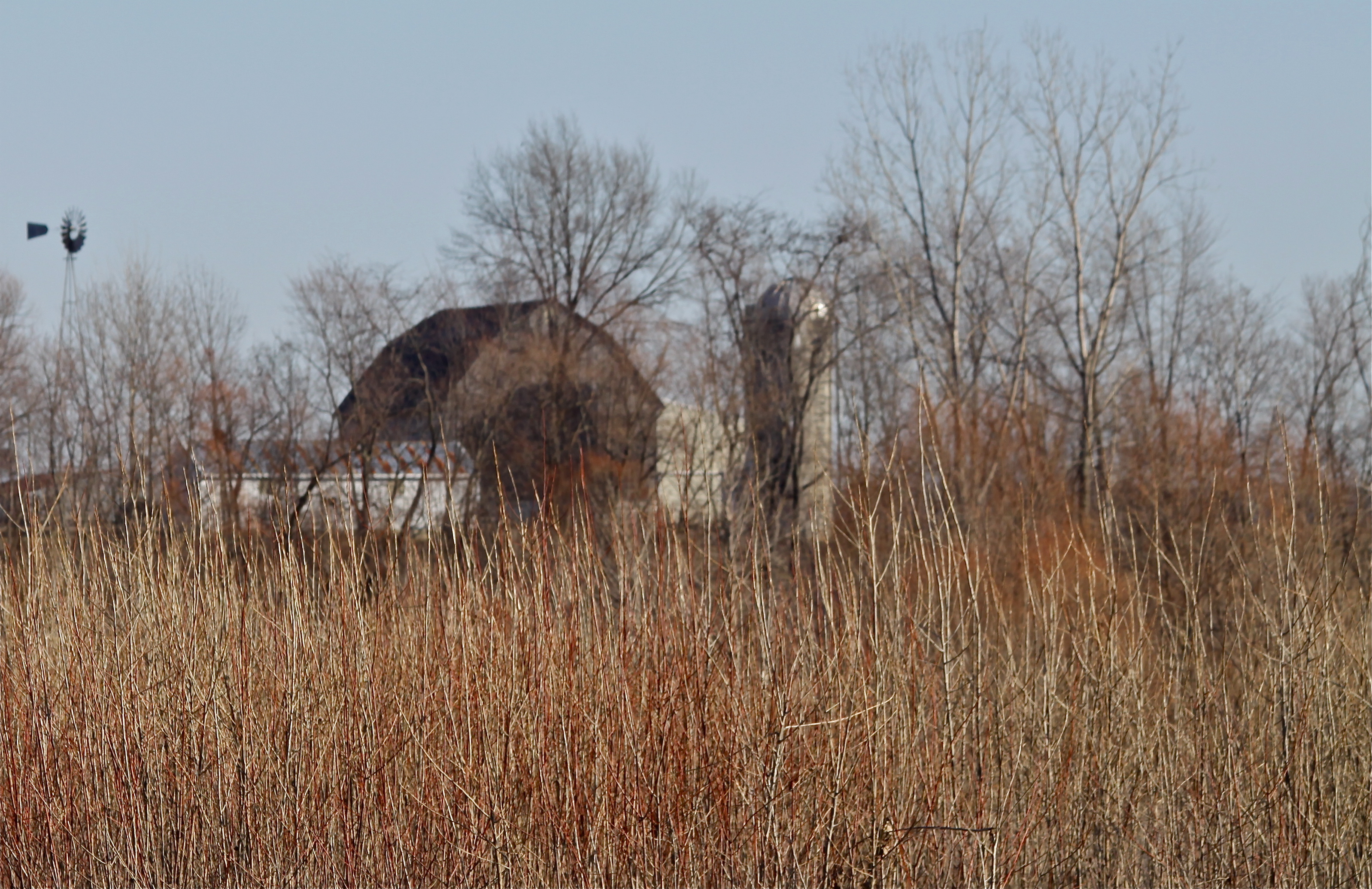
Rainbow Bottom Farm

20160205-DSC02182.jpg
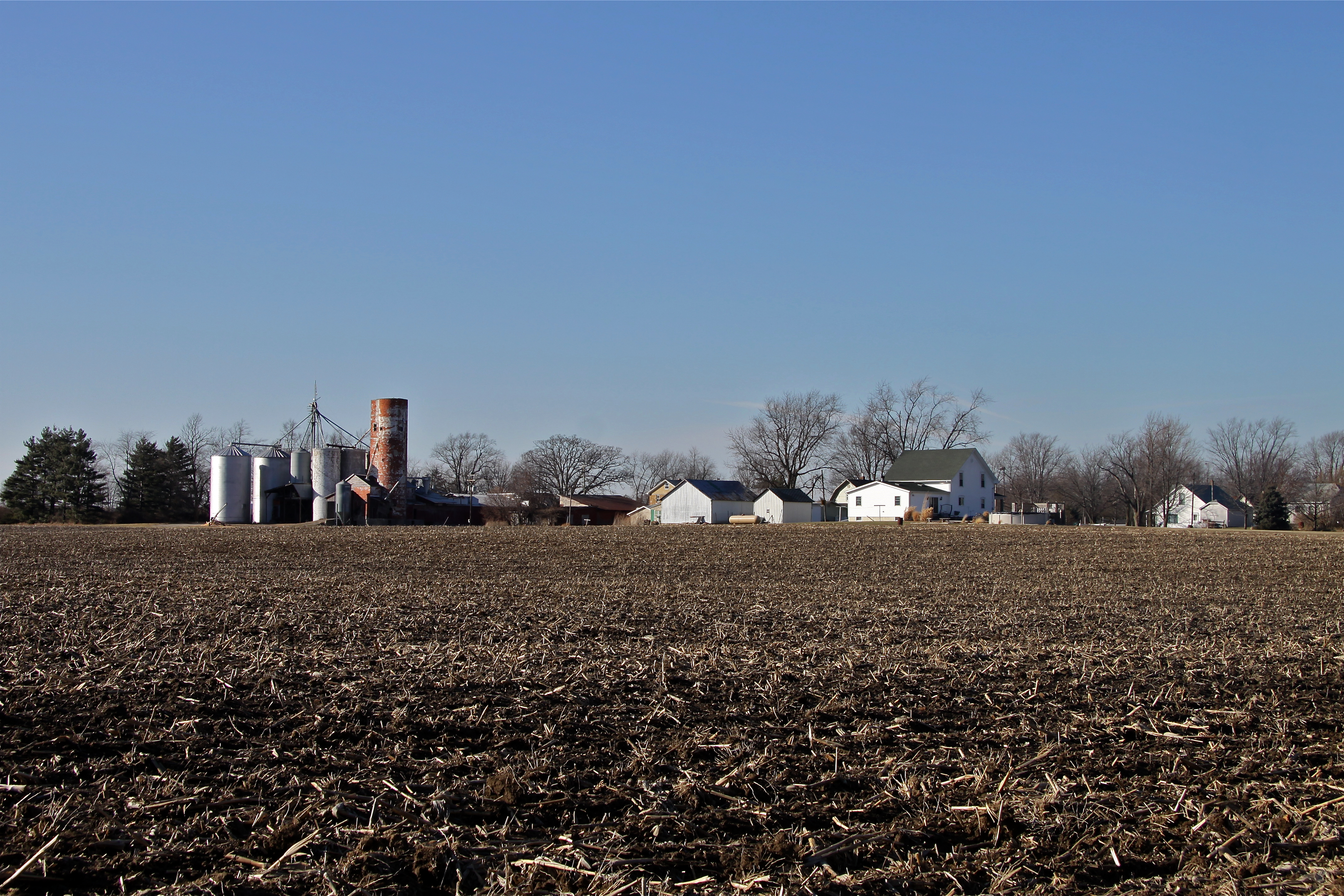
Linn Grove

Berne, Indiana
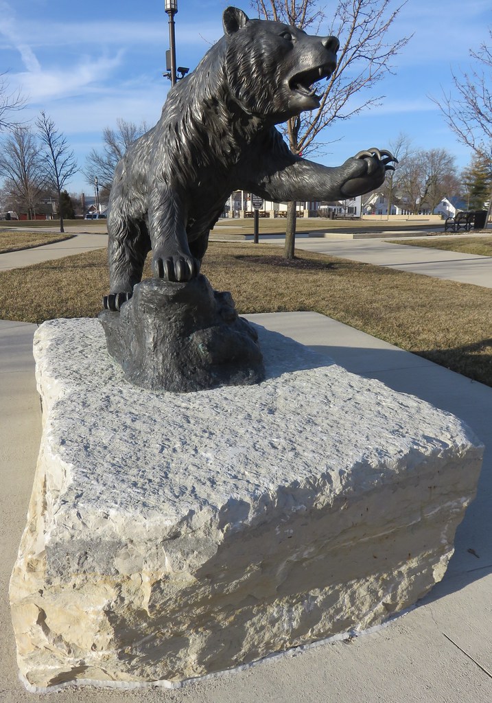
Bear Statue (Berne, Indiana)

Clouds!
Topographic Map of Linn Grove, IN, USA
Find elevation by address:

Places near Linn Grove, IN, USA:
260 E Main St
Berne
412 W Van Buren St
Monroe Township
Wabash Township
1000 Parkway St
1545 Carrington Way
1146 Mill Pond Rd
1991 W 700 S
Adams County
1st St, Geneva, IN, USA
221 South St
225 South St
234 South St
E Washington St, Monroe, IN, USA
Monroe
Linn Grove Rd, Berne, IN, USA
US-33, Decatur, IN, USA
Walcott St, Willshire, OH, USA
Willshire
Recent Searches:
- Elevation of Leguwa, Nepal
- Elevation of County Rd, Enterprise, AL, USA
- Elevation of Kolchuginsky District, Vladimir Oblast, Russia
- Elevation of Shustino, Vladimir Oblast, Russia
- Elevation of Lampiasi St, Sarasota, FL, USA
- Elevation of Elwyn Dr, Roanoke Rapids, NC, USA
- Elevation of Congressional Dr, Stevensville, MD, USA
- Elevation of Bellview Rd, McLean, VA, USA
- Elevation of Stage Island Rd, Chatham, MA, USA
- Elevation of Shibuya Scramble Crossing, 21 Udagawacho, Shibuya City, Tokyo -, Japan