Elevation of Berne, IN, USA
Location: United States > Indiana > Adams County > Wabash Township >
Longitude: -84.951911
Latitude: 40.6578242
Elevation: 258m / 846feet
Barometric Pressure: 98KPa
Elevation Map:
Satellite Map:
Related Photos:

Skull-Face
Ouabache SP

shadow's view

Limberlost Creek

Wabash River
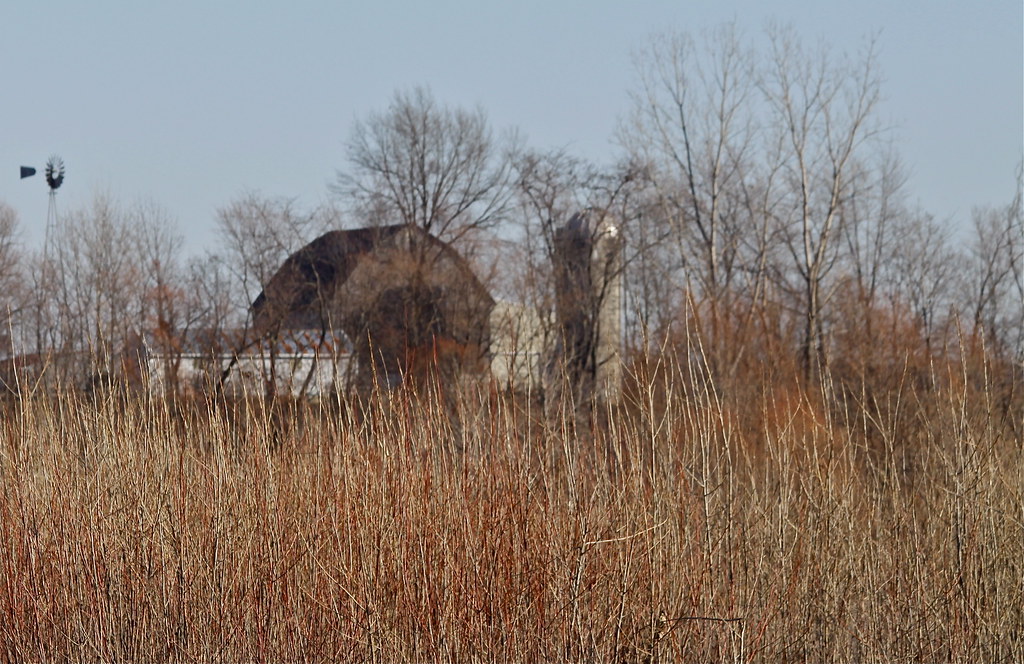
Rainbow Bottom Farm

Cornfield Sunset
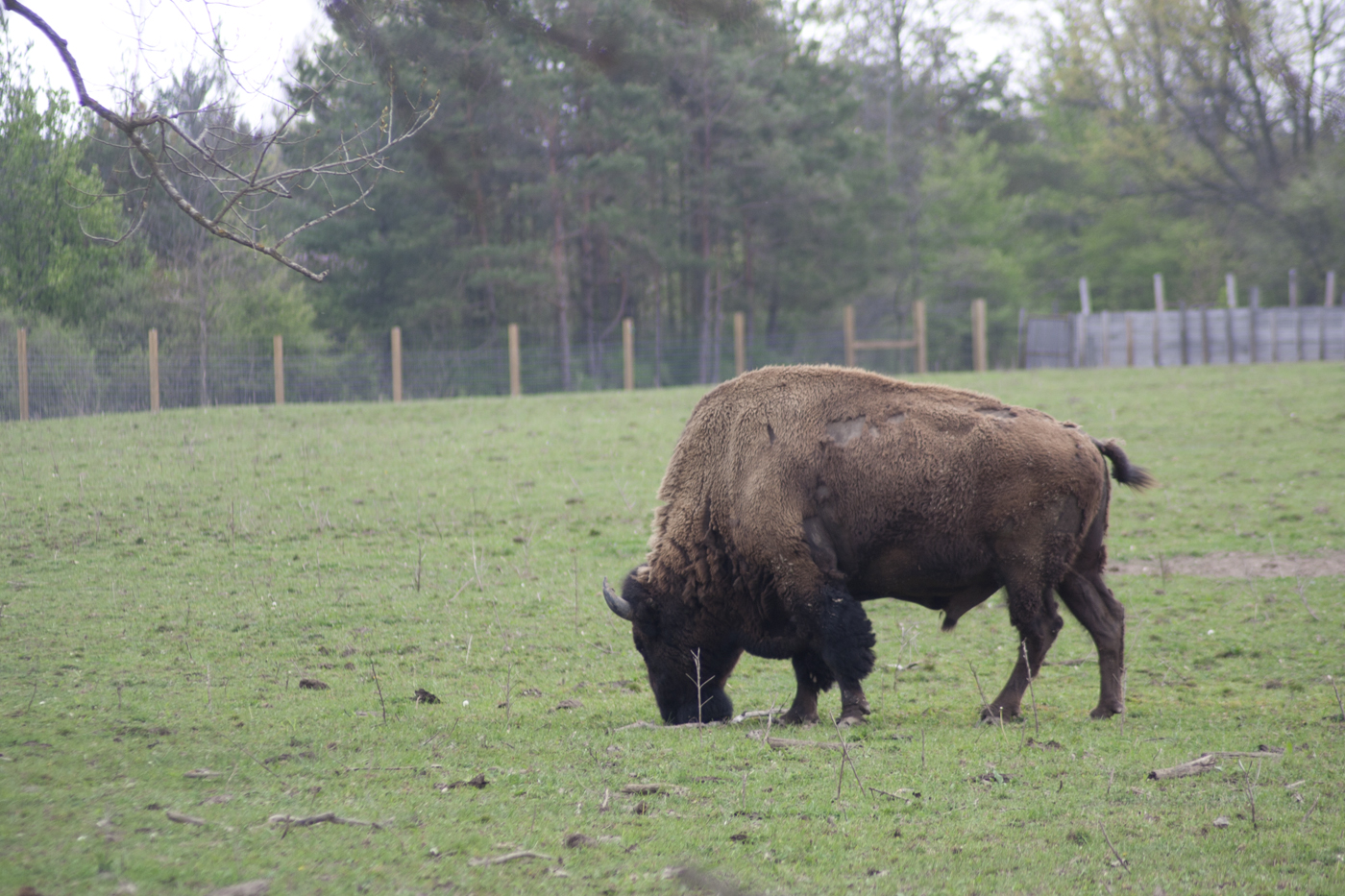
Quabache Buffalo 1
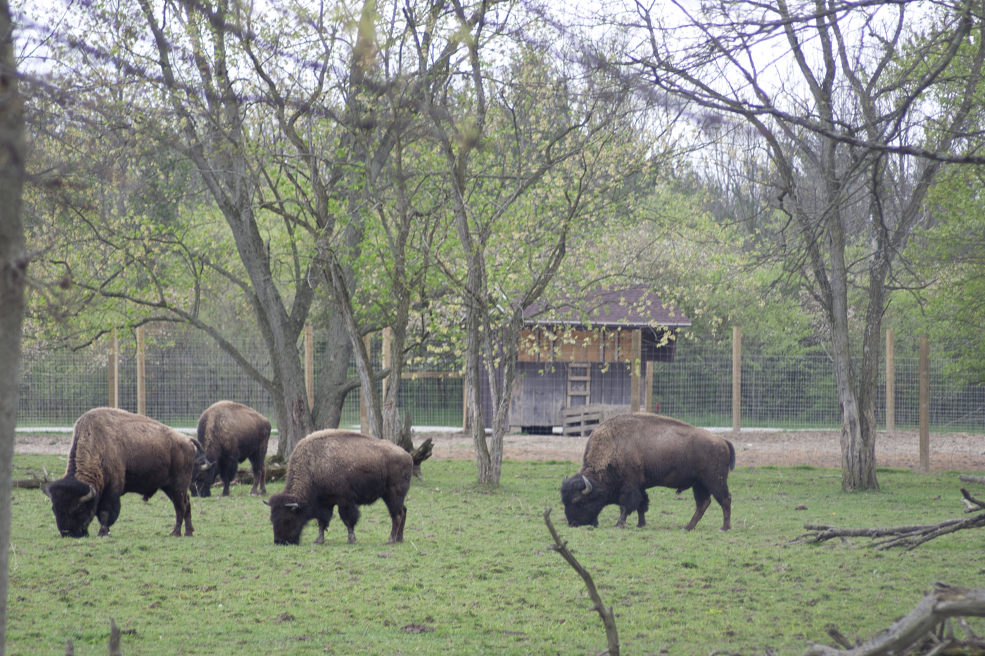
Grazing Buffalo
Autumn Gold

The Wabash River at New Corydon
20160205-DSC02182.jpg
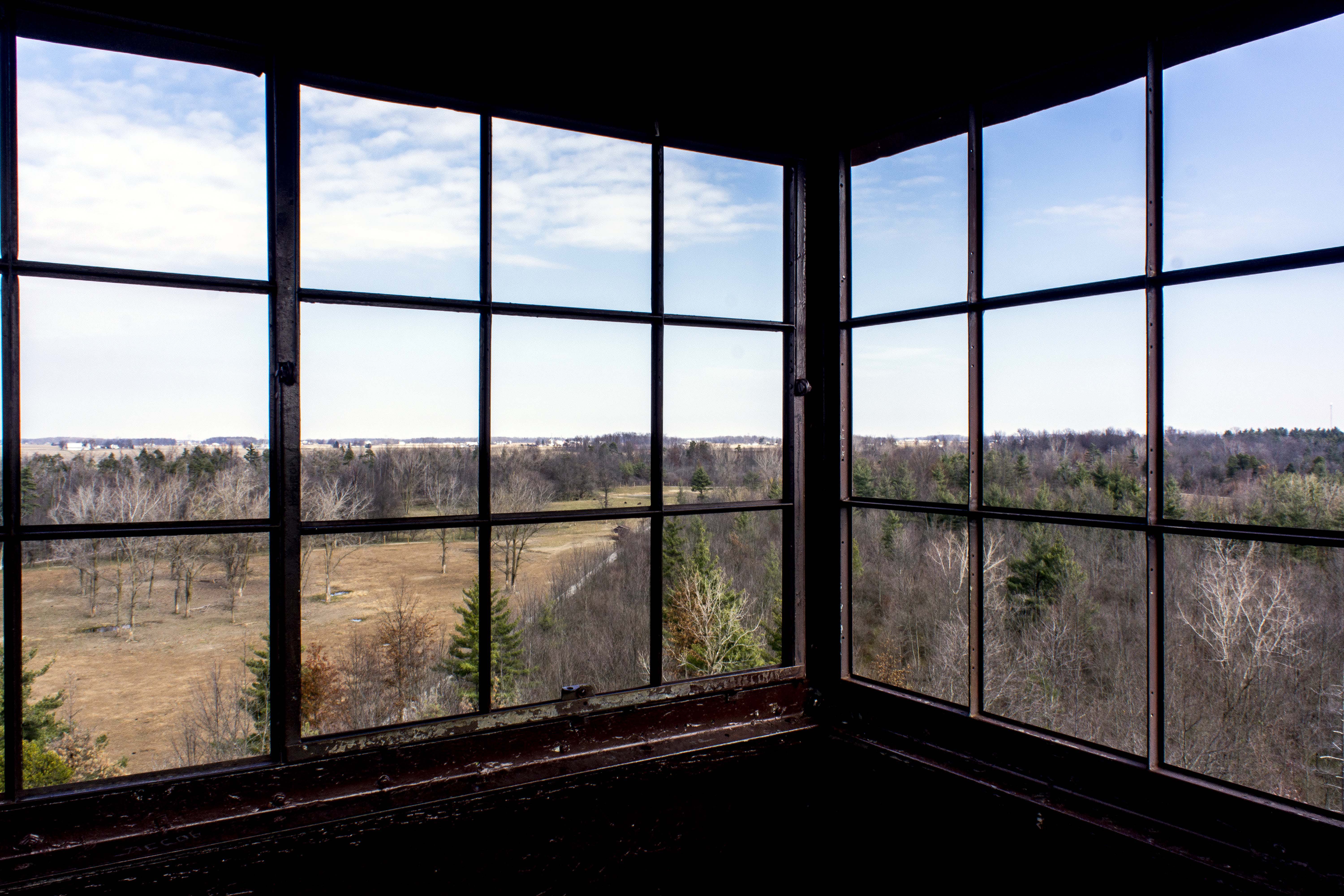
Ouabache State Park Fire Tower Panorama 1

Linn Grove
Clouds!

Snipe?
Topographic Map of Berne, IN, USA
Find elevation by address:

Places in Berne, IN, USA:
Places near Berne, IN, USA:
412 W Van Buren St
260 E Main St
1000 Parkway St
1545 Carrington Way
1146 Mill Pond Rd
1991 W 700 S
Linn Grove, IN, USA
Wabash Township
1st St, Geneva, IN, USA
Monroe Township
225 South St
221 South St
234 South St
Linn Grove Rd, Berne, IN, USA
Adams County
E Washington St, Monroe, IN, USA
Monroe
US-33, Decatur, IN, USA
Walcott St, Willshire, OH, USA
Willshire
Recent Searches:
- Elevation of Zimmer Trail, Pennsylvania, USA
- Elevation of 87 Kilmartin Ave, Bristol, CT, USA
- Elevation of Honghe National Nature Reserve, QP95+PJP, Tongjiang, Heilongjiang, Jiamusi, Heilongjiang, China
- Elevation of Hercules Dr, Colorado Springs, CO, USA
- Elevation of Szlak pieszy czarny, Poland
- Elevation of Griffing Blvd, Biscayne Park, FL, USA
- Elevation of Kreuzburger Weg 13, Düsseldorf, Germany
- Elevation of Gateway Blvd SE, Canton, OH, USA
- Elevation of East W.T. Harris Boulevard, E W.T. Harris Blvd, Charlotte, NC, USA
- Elevation of West Sugar Creek, Charlotte, NC, USA