Elevation of Linden, TN, USA
Location: United States > Tennessee > Perry County >
Longitude: -87.839470
Latitude: 35.6172917
Elevation: 172m / 564feet
Barometric Pressure: 99KPa
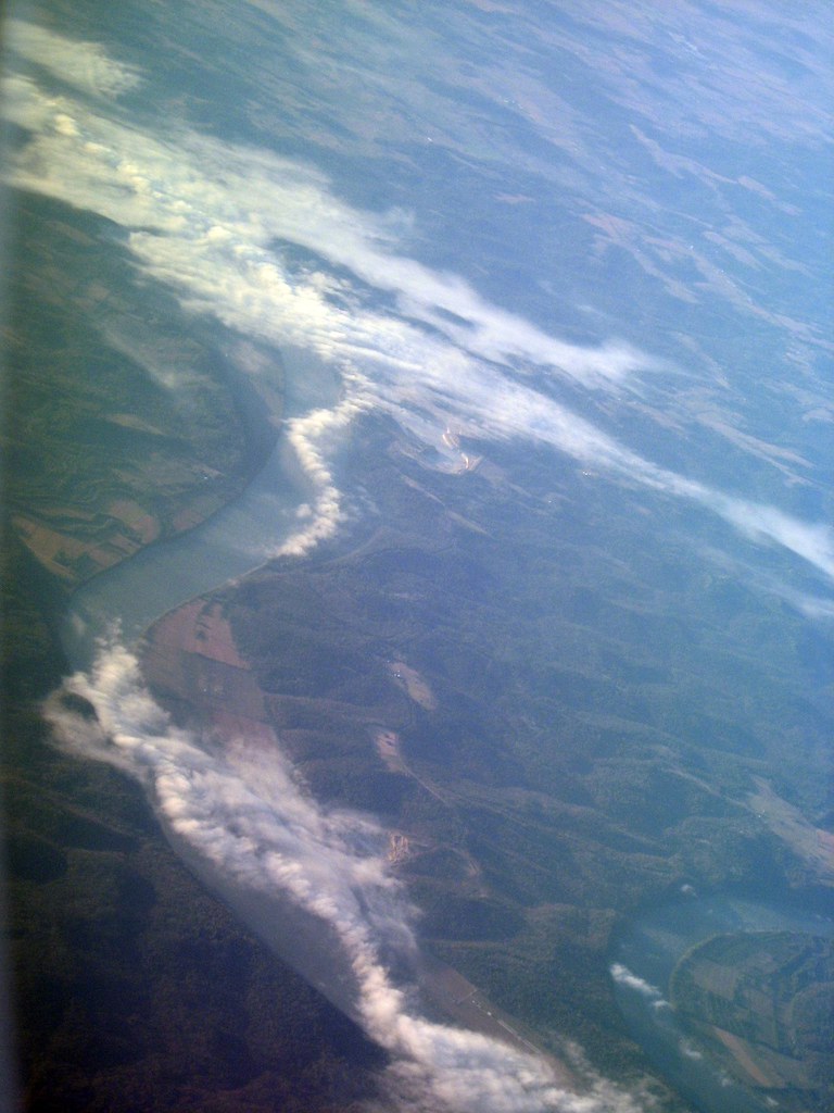
Elevation Map:
Satellite Map:
Related Photos:

Perry County, TN Courthouse - Linden, TN
Misty River

Mousetail Landing State Park - June 2, 2012

Mousetail Landing Eagle Point Trail Shelter #1

Mousetail Landing State Park - June 22, 2013
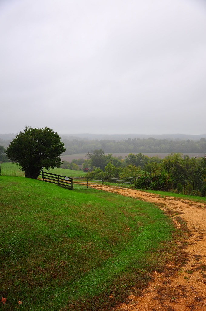
Near the Buffalo River, Linden, TN - v63
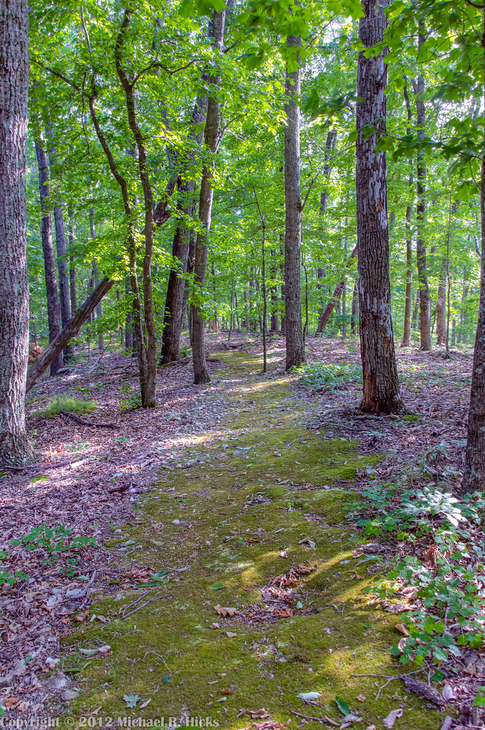
Mousetail Landing State Park - June 2, 2012

Mast Family Produce and Farm

Mast Family Produce and Farm
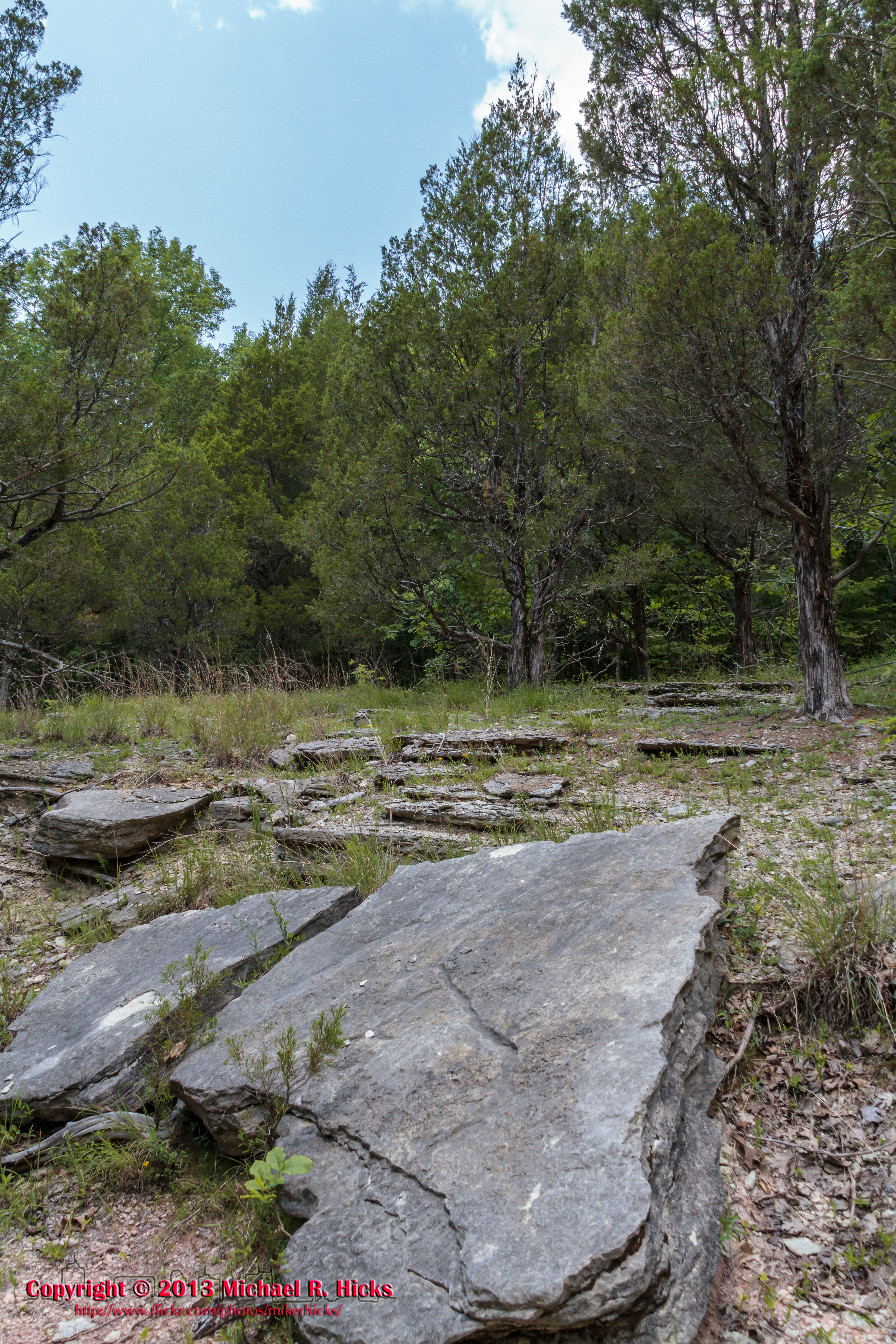
Mousetail Landing State Park - June 22, 2013
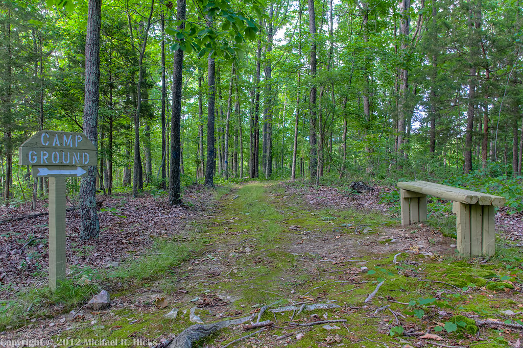
Mousetail Landing State Park - June 2, 2012

Sunset at Shelter 1
Topographic Map of Linden, TN, USA
Find elevation by address:

Places in Linden, TN, USA:
Deer Creek Ford Rd, Linden, TN, USA
US-, Linden, TN, USA
Flatwoods
Flatwoods, TN, USA
Lick Creek Road
Places near Linden, TN, USA:
US-, Linden, TN, USA
Flatwoods, TN, USA
Lick Creek Road
Perry County
2316 Wilsdorf Rd
S Main St, Lobelville, TN, USA
Depriest Bend
Flatwoods
Co Hwy, Centerville, TN, USA
Lobelville
1351 Holman Rd
Mousetail Landing State Park
Lobelville, TN, USA
Riverview Drive
217 Riverview Dr
61 Boat Dock Ln
41 Red Oak Tree Dr
271 Creekside View Ln
1399 Keith Dr
Lady's Bluff Tva Small Wild Area
Recent Searches:
- Elevation of Corso Fratelli Cairoli, 35, Macerata MC, Italy
- Elevation of Tallevast Rd, Sarasota, FL, USA
- Elevation of 4th St E, Sonoma, CA, USA
- Elevation of Black Hollow Rd, Pennsdale, PA, USA
- Elevation of Oakland Ave, Williamsport, PA, USA
- Elevation of Pedrógão Grande, Portugal
- Elevation of Klee Dr, Martinsburg, WV, USA
- Elevation of Via Roma, Pieranica CR, Italy
- Elevation of Tavkvetili Mountain, Georgia
- Elevation of Hartfords Bluff Cir, Mt Pleasant, SC, USA