Elevation of Lincoln County, WI, USA
Location: United States > Wisconsin >
Longitude: -89.772579
Latitude: 45.3743102
Elevation: 448m / 1470feet
Barometric Pressure: 96KPa
Elevation Map:
Satellite Map:
Related Photos:

New York Skyline
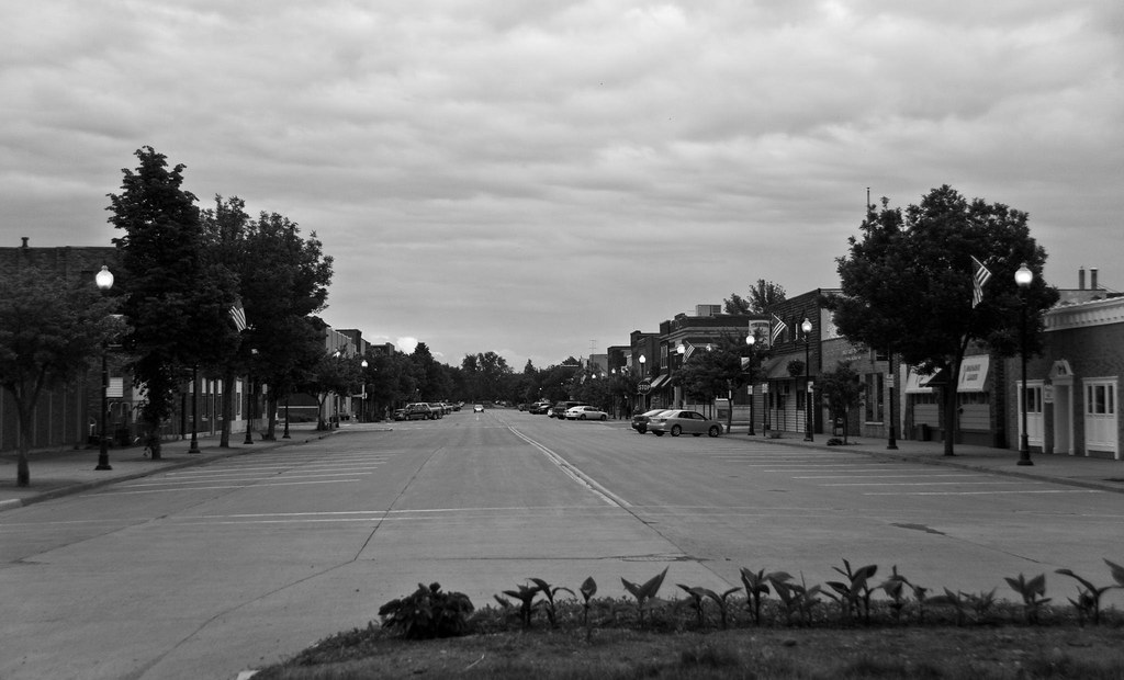
Thursday Night In Tomahawk

The Golden Path

Mirror, Mirror
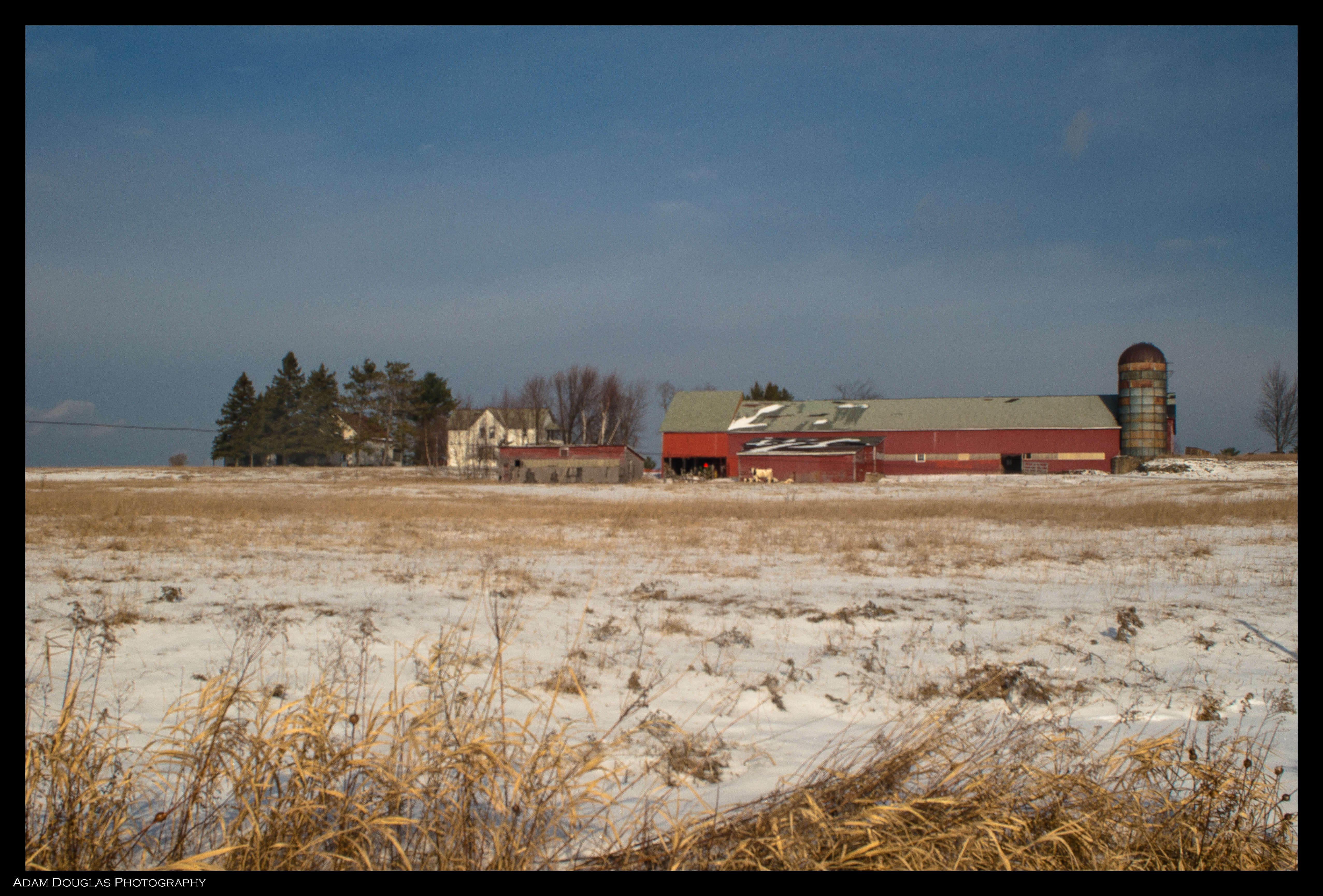
Frozen Farm
Tomahawk Dam

Fall Color along the Wisconsin River

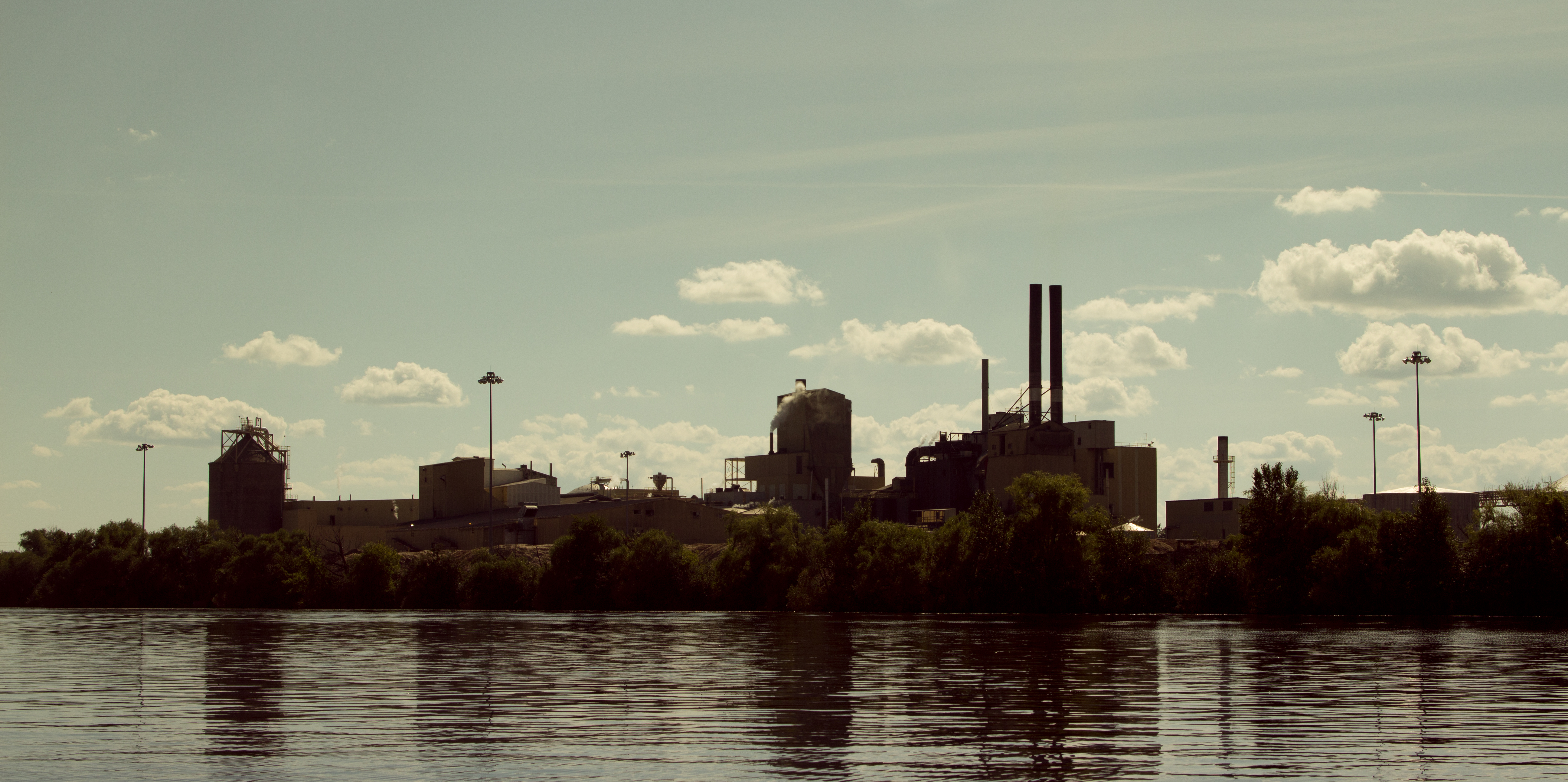
Milwaukee Road - Tomahawk Yard - Tomahawk, WI

Uncle John's forest

Wisconsin Color
Il fiume Somo

Days Gone By

Wisconsin River Fall Reflections

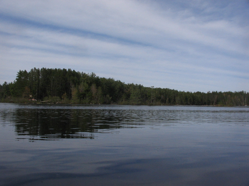
Grandfather Falls, Wisconsin RIver
Topographic Map of Lincoln County, WI, USA
Find elevation by address:

Places in Lincoln County, WI, USA:
Places near Lincoln County, WI, USA:
Bradley
N8796
Tomahawk
14 W Wisconsin Ave, Tomahawk, WI, USA
14 W Wisconsin Ave
W4880 Spruce Rd
Merrill
N11392 N Pine Tree Ln
Berlin
Co Rd F, Milan, WI, USA
Naugart Dr, Athens, WI, USA
3827 Harshaw Rd
Co Rd A, Wausau, WI, USA
Co Rd A, Marathon City, WI, USA
Texas
T6756
3250 S Fox Ranch Rd
10925 S Bear Lake Rd
W14326
Apperson Dr, Rhinelander, WI, USA
Recent Searches:
- Elevation of Corso Fratelli Cairoli, 35, Macerata MC, Italy
- Elevation of Tallevast Rd, Sarasota, FL, USA
- Elevation of 4th St E, Sonoma, CA, USA
- Elevation of Black Hollow Rd, Pennsdale, PA, USA
- Elevation of Oakland Ave, Williamsport, PA, USA
- Elevation of Pedrógão Grande, Portugal
- Elevation of Klee Dr, Martinsburg, WV, USA
- Elevation of Via Roma, Pieranica CR, Italy
- Elevation of Tavkvetili Mountain, Georgia
- Elevation of Hartfords Bluff Cir, Mt Pleasant, SC, USA