Elevation of 14 W Wisconsin Ave, Tomahawk, WI, USA
Location: United States > Wisconsin > Lincoln County > Tomahawk >
Longitude: -89.729954
Latitude: 45.4712312
Elevation: 441m / 1447feet
Barometric Pressure: 96KPa
Elevation Map:
Satellite Map:
Related Photos:

New York Skyline
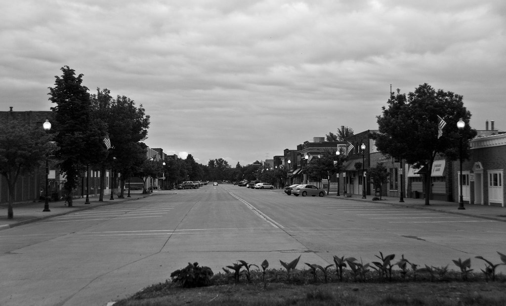
Thursday Night In Tomahawk

Weekend in Tomahawk, WI

View from hammock

The Golden Path

Sittin' on the Dock of the Lake

Mirror, Mirror

2015-07-04 20.14.14

2015-07-02 20.07.08

2015-07-02 20.07.14

2015-07-03 20.18.35

Day 6, August 7th, 2014 #sunset #vacation #summer #wisconsin #nofilter #rhinelander #MansonLake

2015-07-04 20.14.00

2015-07-04 20.14.04
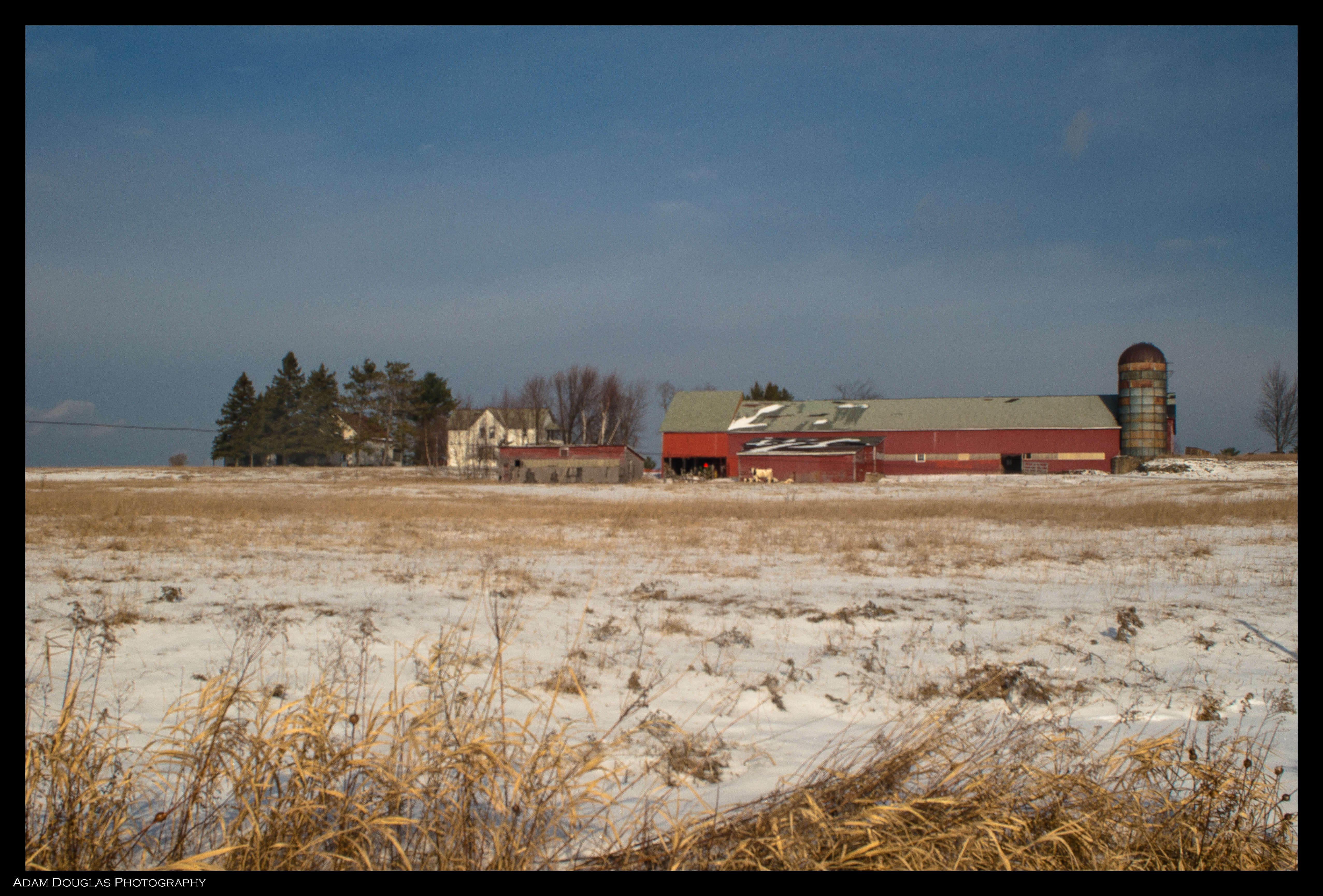
Frozen Farm

Sunset at Clear Lake

Sunset at Clear Lake

Tranquil North Woods

2015-07-04 20.27.56

Sunset at Clear Lake
Tomahawk Dam

Milwaukee Road - Tomahawk Yard - Tomahawk, WI

North Woods

Sun Rays
Milwaukee Road Bridge - Heafford Junction, WI
Topographic Map of 14 W Wisconsin Ave, Tomahawk, WI, USA
Find elevation by address:

Places near 14 W Wisconsin Ave, Tomahawk, WI, USA:
14 W Wisconsin Ave
Tomahawk
N8796
Bradley
Lincoln County
3827 Harshaw Rd
W4880 Spruce Rd
N11392 N Pine Tree Ln
3250 S Fox Ranch Rd
Merrill
10925 S Bear Lake Rd
Apperson Dr, Rhinelander, WI, USA
Oneida County
709 Boyce Dr
5605 Moon Lite Bay Rd
Minocqua
Rhinelander
1405 Lincoln St
Berlin
Woodruff
Recent Searches:
- Elevation of Corso Fratelli Cairoli, 35, Macerata MC, Italy
- Elevation of Tallevast Rd, Sarasota, FL, USA
- Elevation of 4th St E, Sonoma, CA, USA
- Elevation of Black Hollow Rd, Pennsdale, PA, USA
- Elevation of Oakland Ave, Williamsport, PA, USA
- Elevation of Pedrógão Grande, Portugal
- Elevation of Klee Dr, Martinsburg, WV, USA
- Elevation of Via Roma, Pieranica CR, Italy
- Elevation of Tavkvetili Mountain, Georgia
- Elevation of Hartfords Bluff Cir, Mt Pleasant, SC, USA