Elevation of Lick Branch of Rockcastle Crek Rd, Inez, KY, USA
Location: United States > Kentucky > Martin County > Inez >
Longitude: -82.539019
Latitude: 37.9114982
Elevation: 203m / 666feet
Barometric Pressure: 99KPa
Elevation Map:
Satellite Map:
Related Photos:

BNSF in catfish country

Long view to a short tunnel

View from Tick Ridge

Path to Jenny Wiley's Grave Site

Tick Ridge Fire Tower
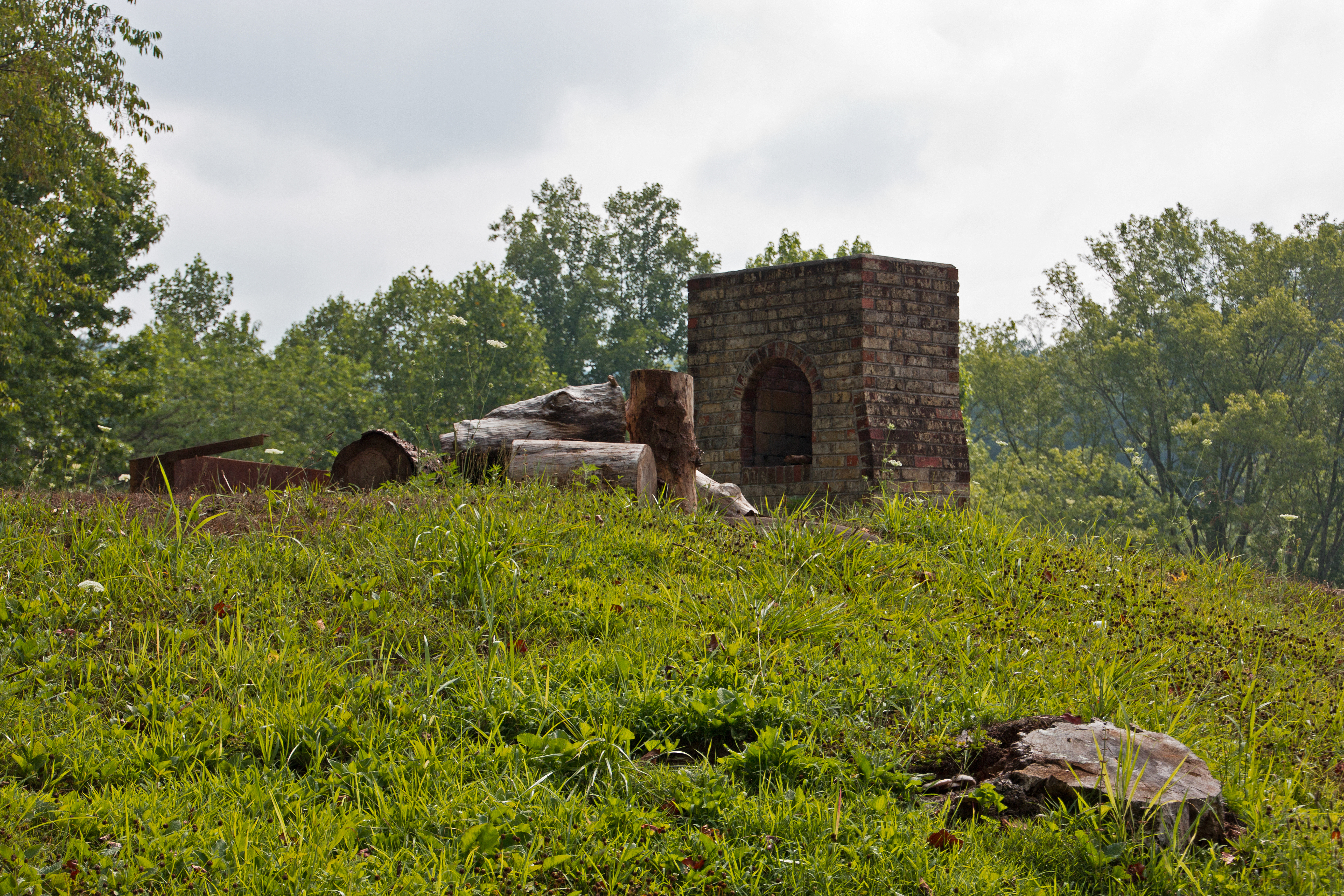
Remnants: Path to Jenny Wiley's Grave Site

Reunion_2007 158

Wild and Wonderful; WV

CSX Q693-01 at CP RB Cabin

The Road Less Traveled

NS 80T

T209-30 @ 41.8 Intermediate

NS 8583 East at Crum, WV

NS 8557 West at Tripp, WV

CH Cabin

Tunnel 7

CSX U204 @ CH Cabin
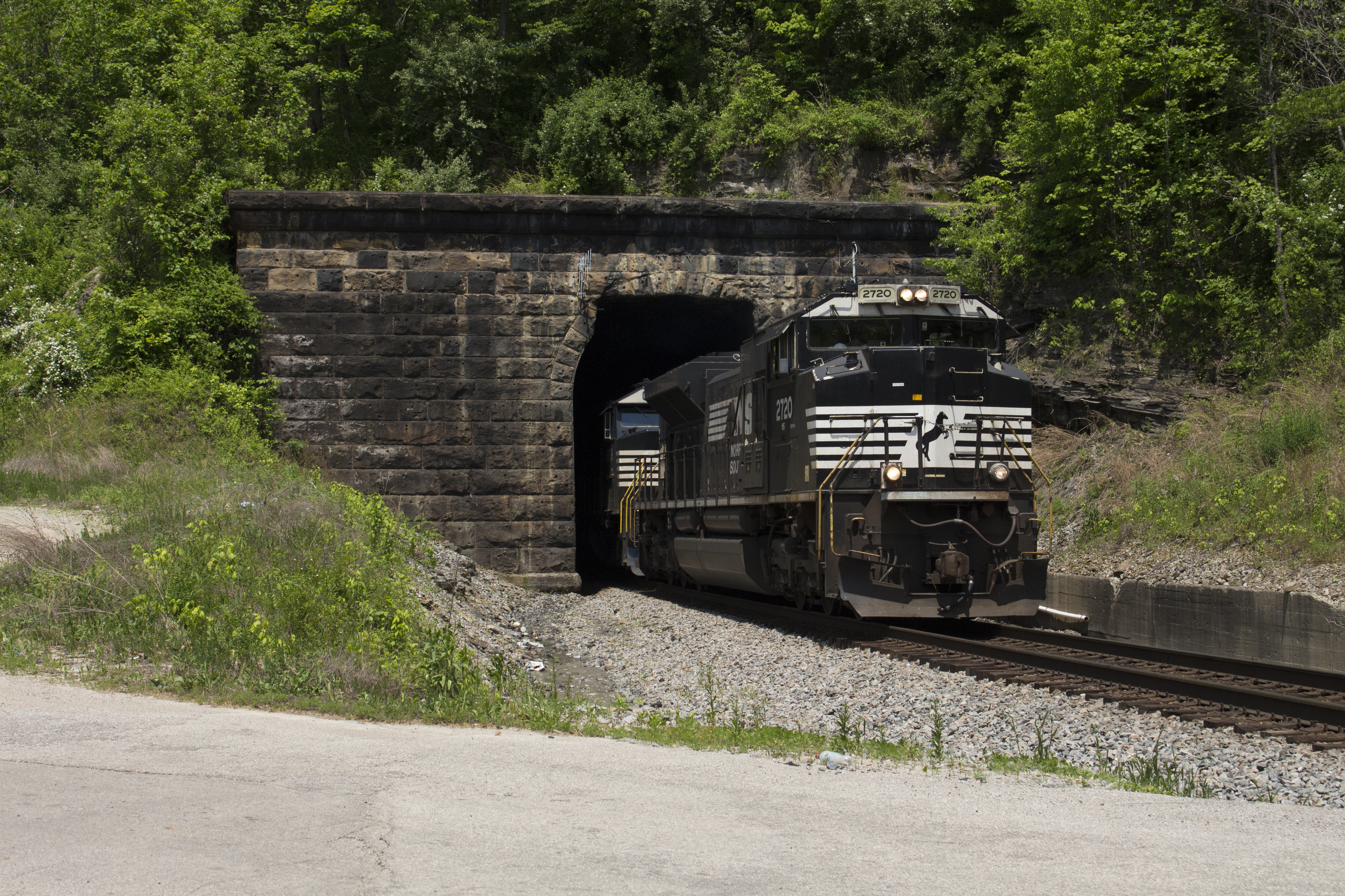
Tunnel 4 Exit

Stepping Out

2013-05-28_19-00-41_286

2013-06-25_19-12-01_15

2013-06-25_19-14-46_599

2013-07-08_16-46-22_222

2013-07-20_12-32-50_977

NS 80G @ Crum, WV

Foreign Power

NS 80G @ Grey Eagle

20140623-photo (1)

IMG_0150.jpg
Topographic Map of Lick Branch of Rockcastle Crek Rd, Inez, KY, USA
Find elevation by address:

Places near Lick Branch of Rockcastle Crek Rd, Inez, KY, USA:
Tug River Road
Inez
32 Main St, Inez, KY, USA
Debord
Highway 1690
Stonecoal
Martin County
Ulysses
Kermit
222 Lost Creek Rd
Lost Creek Road
680 Lost Creek Rd
673 Lost Creek Rd
660 Lost Creek Rd
Webb Street
Lovely
Pilgrim
State Hwy, Pilgrim, KY, USA
Debord, KY, USA
Usp Big Sandy
Recent Searches:
- Elevation of Chesaw Rd, Oroville, WA, USA
- Elevation of N, Mt Pleasant, UT, USA
- Elevation of 6 Rue Jules Ferry, Beausoleil, France
- Elevation of Sattva Horizon, 4JC6+G9P, Vinayak Nagar, Kattigenahalli, Bengaluru, Karnataka, India
- Elevation of Great Brook Sports, Gold Star Hwy, Groton, CT, USA
- Elevation of 10 Mountain Laurels Dr, Nashua, NH, USA
- Elevation of 16 Gilboa Ln, Nashua, NH, USA
- Elevation of Laurel Rd, Townsend, TN, USA
- Elevation of 3 Nestling Wood Dr, Long Valley, NJ, USA
- Elevation of Ilungu, Tanzania