Elevation of Liberty Township, AR, USA
Location: United States > Arkansas > Van Buren County >
Longitude: -92.758070
Latitude: 35.5124907
Elevation: 366m / 1201feet
Barometric Pressure: 97KPa
Elevation Map:
Satellite Map:
Related Photos:

Ladderbucket Falls
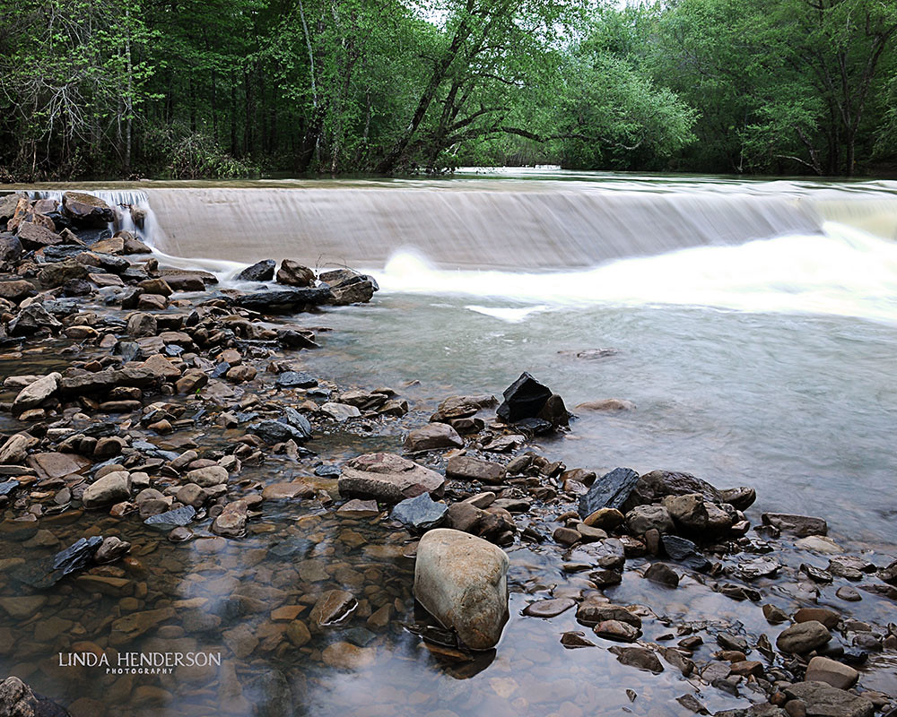
thundering waters
Hall Falls on Gulf Mountain
Morning in the Blue Hole
one - two - one

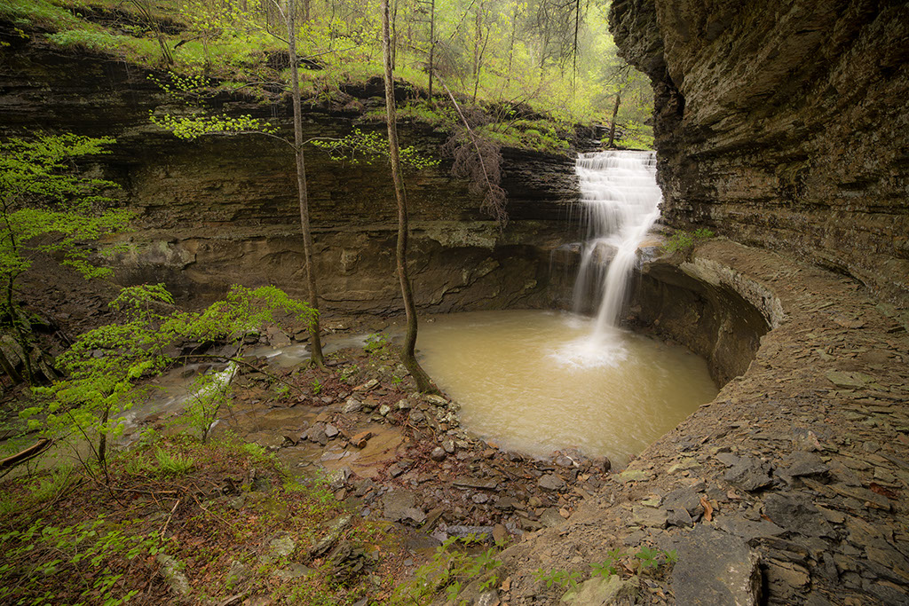
Ladderbucket Hollow

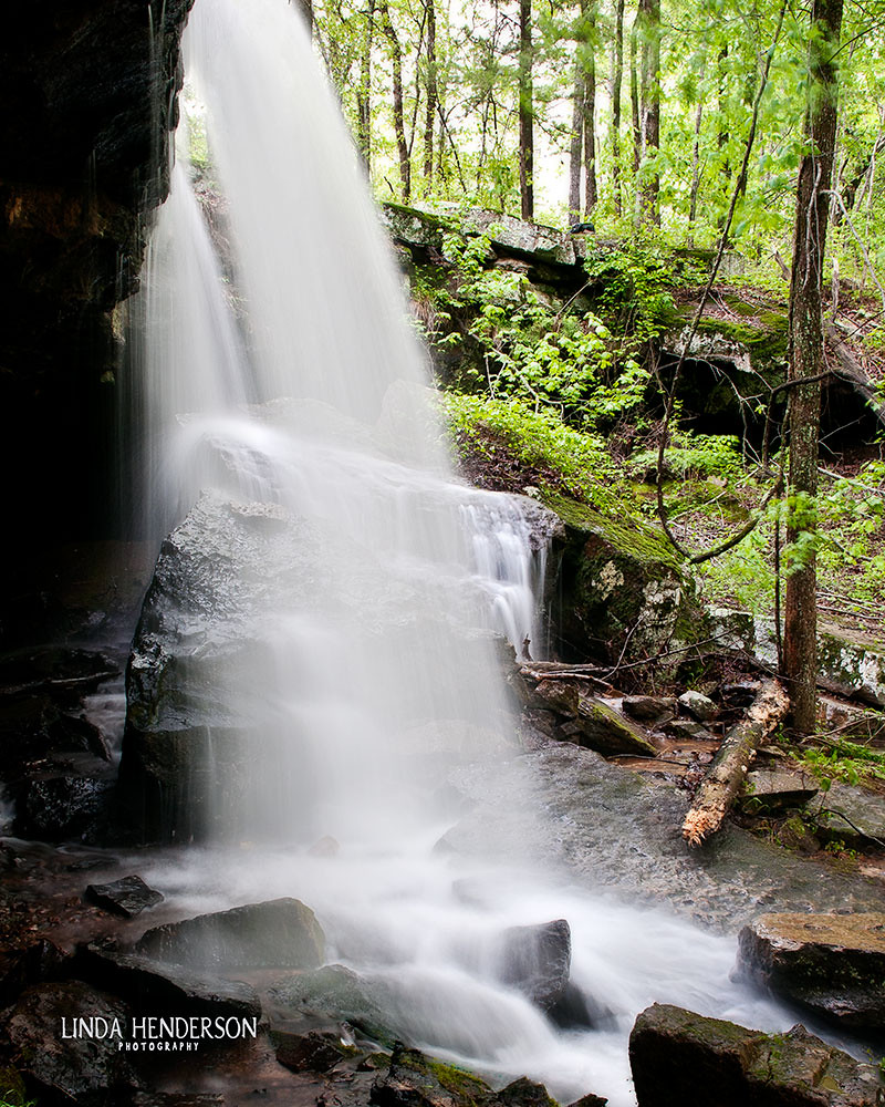
down spout
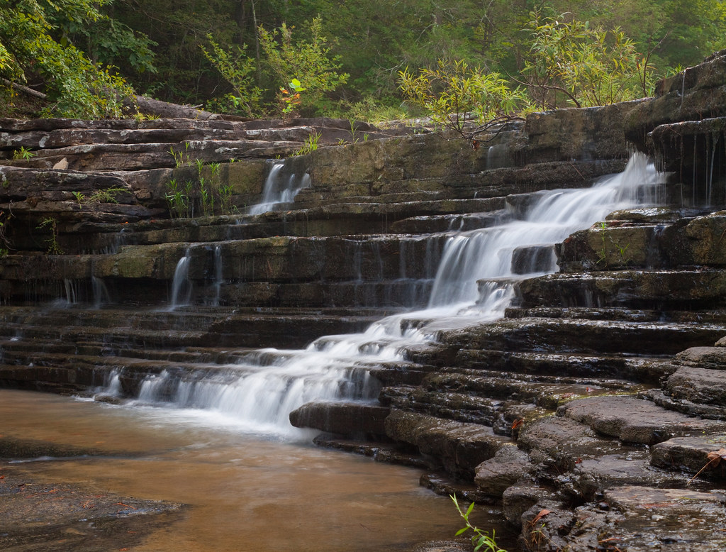
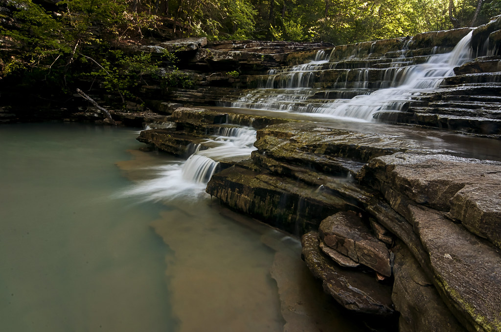
nature's staircase
Flooding Little Red River Low Water Bridge

The Little Barn
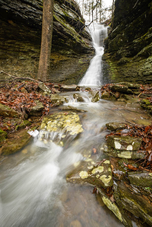
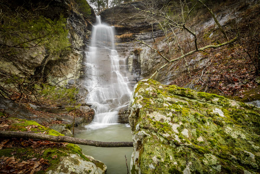
in the slot

ray of light
Topographic Map of Liberty Township, AR, USA
Find elevation by address:

Places in Liberty Township, AR, USA:
Places near Liberty Township, AR, USA:
Wilderness Trail
6808 Fr 1342
6808 Fr 1342
6808 Fr 1342
993 Wilderness Trail
993 Wilderness Trail
Ashwood Drive
Dabney Rd, Jerusalem, AR, USA
Wheeler Township
Arkansas 16 W, Clinton, AR, USA
Scotland
AR-95, Scotland, AR, USA
Arkansas 16 W, Jerusalem, AR, USA
Craig Township
AR-95, Clinton, AR, USA
Mountain Township
10766 Ar-16
10766 Ar-16
Ar Hwy W, Clinton, AR, USA
189 Greta Rd
Recent Searches:
- Elevation of Bydgoszcz, Poland
- Elevation of Bydgoszcz, Poland
- Elevation of Calais Dr, Del Mar, CA, USA
- Elevation of Placer Mine Ln, West Jordan, UT, USA
- Elevation of E 63rd St, New York, NY, USA
- Elevation of Elk City, OK, USA
- Elevation of Erika Dr, Windsor, CA, USA
- Elevation of Village Ln, Finleyville, PA, USA
- Elevation of 24 Oakland Rd #, Scotland, ON N0E 1R0, Canada
- Elevation of Deep Gap Farm Rd E, Mill Spring, NC, USA