Elevation of Lexington, White Hall, VA, USA
Location: United States > Virginia > Albemarle County > White Hall > Earlysville >
Longitude: -78.483008
Latitude: 38.1972931
Elevation: 185m / 607feet
Barometric Pressure: 99KPa
Elevation Map:
Satellite Map:
Related Photos:
looking east

Grace Episcopal Church

objects in the rear view mirror may appear...
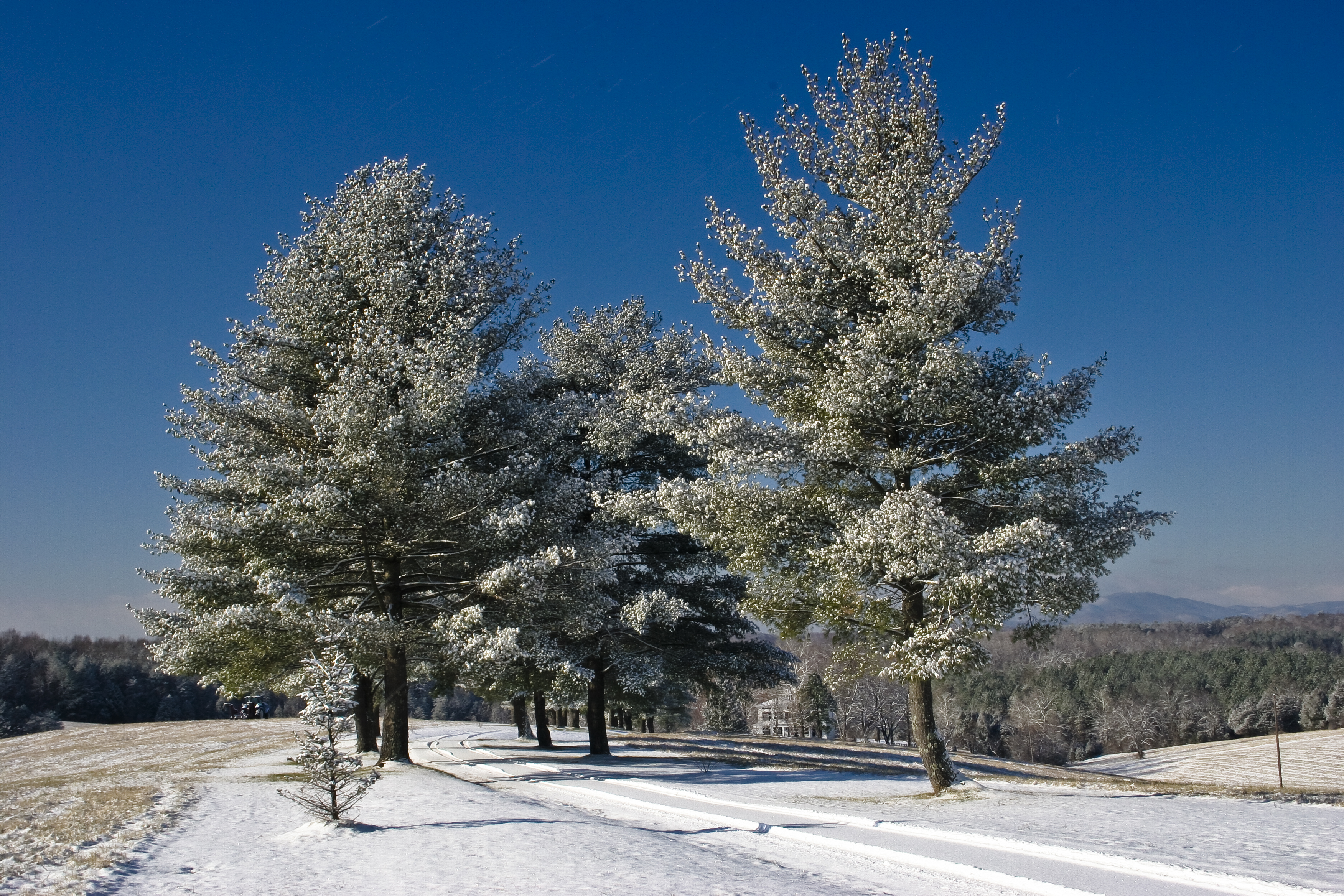
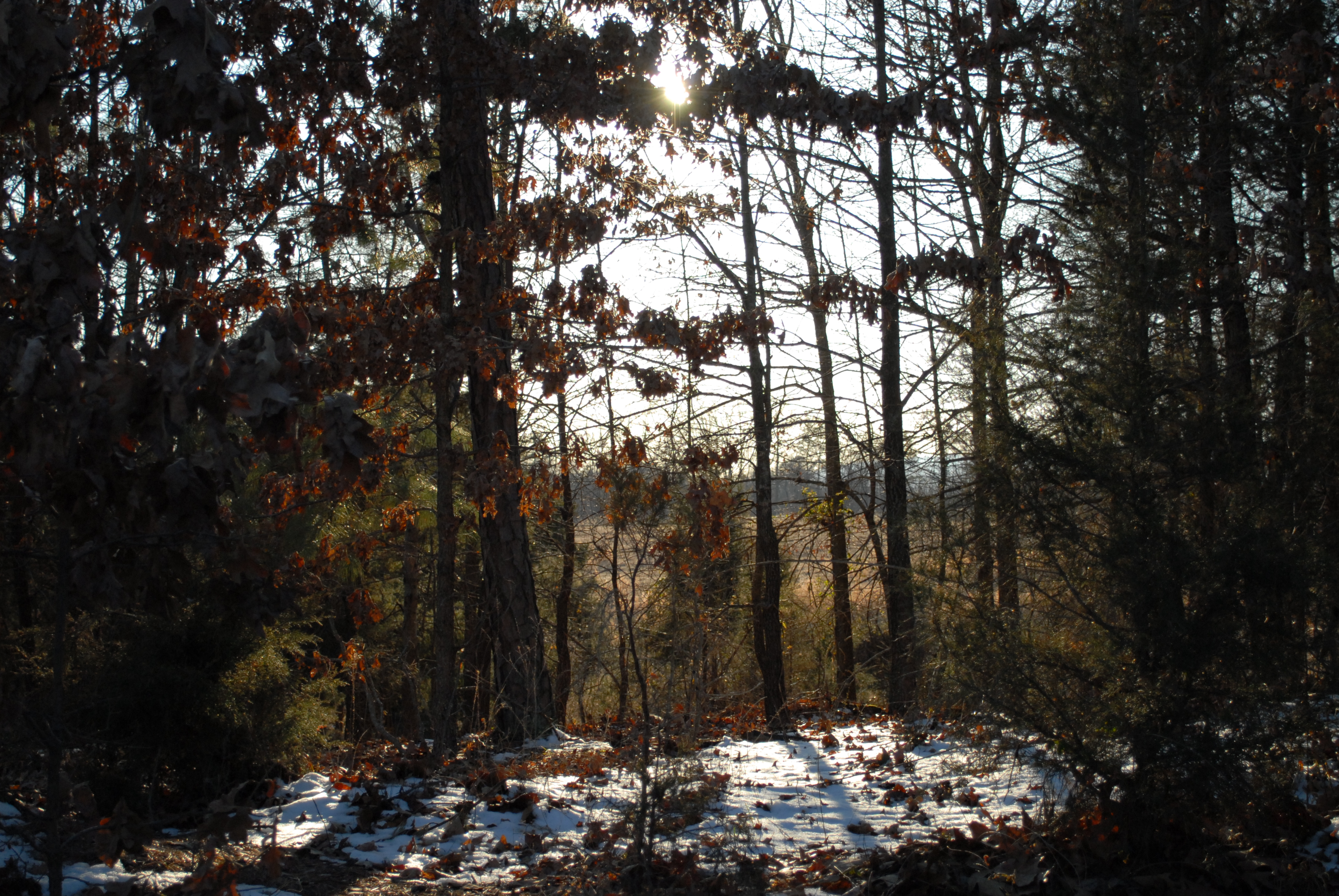
Snowy trees

whiskedaway2-1111.jpg
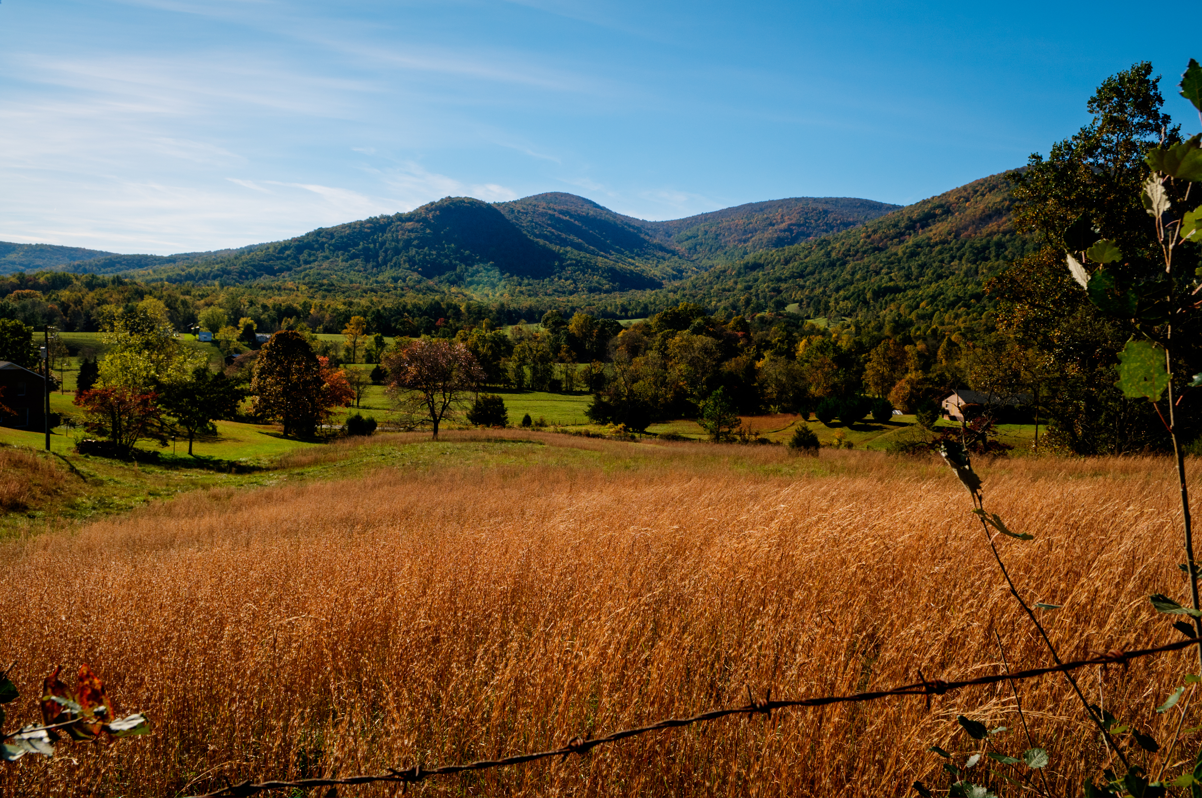
View of the southwest mountains from our NE paddock/field

Stopped here to take in the view for the first time.
House view 2

Yellow Lab Puppy

FILM_whiskedaway-038.jpg
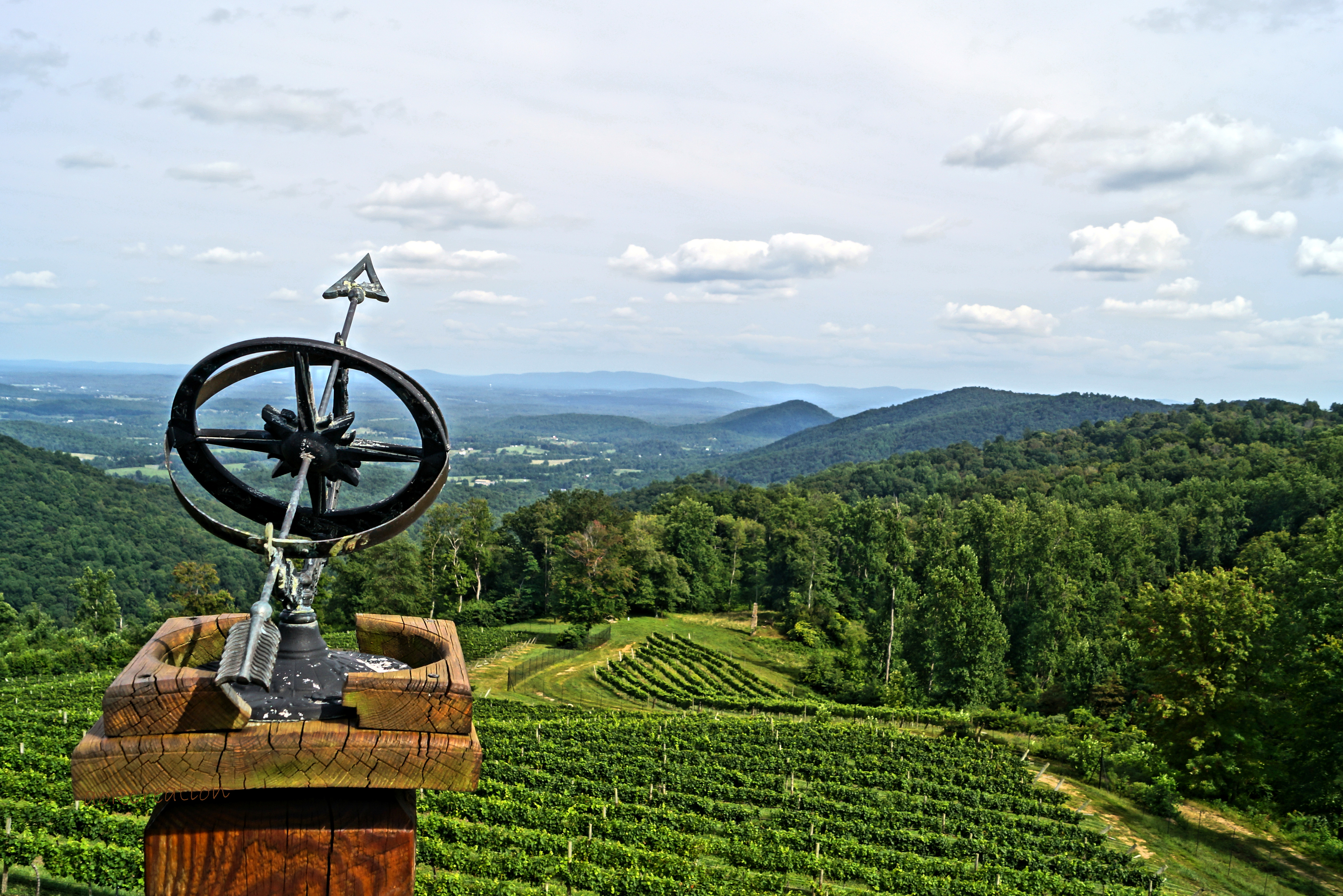
Stone Mountain Vineyards - the view
House view 3

20938 2010 Fall Classic Car Show Jim Price Chevrolet

THE TREE OF LIFE, EARLYSVILLE, VIRGINIA
Snowy Hay Bales
No Advance
Boonesville Beauty
House view 5

Snowy Leaves
Winter Solstice Cville Run - 2010 (55)
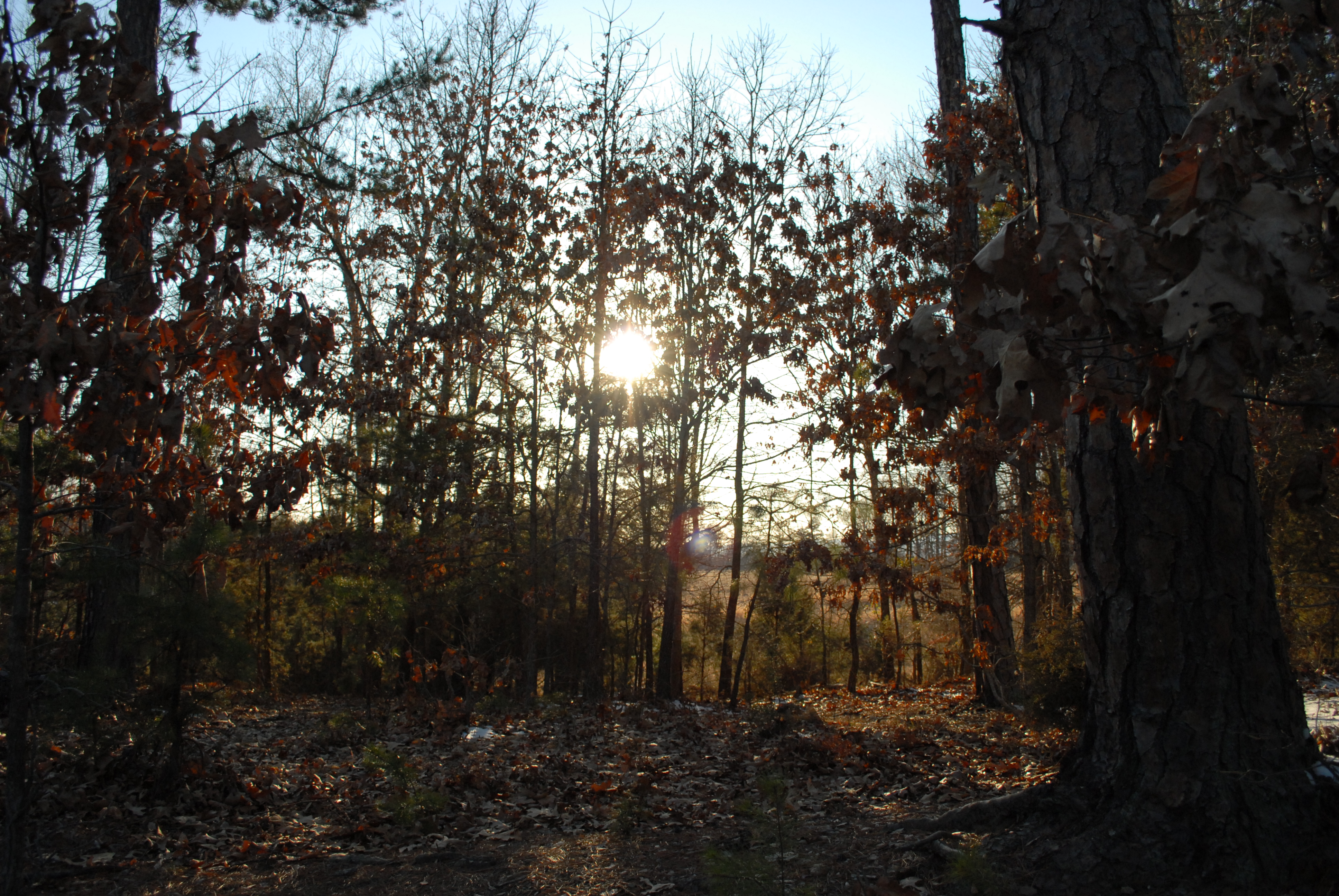
Snowy Sunrise

Foggy Morning

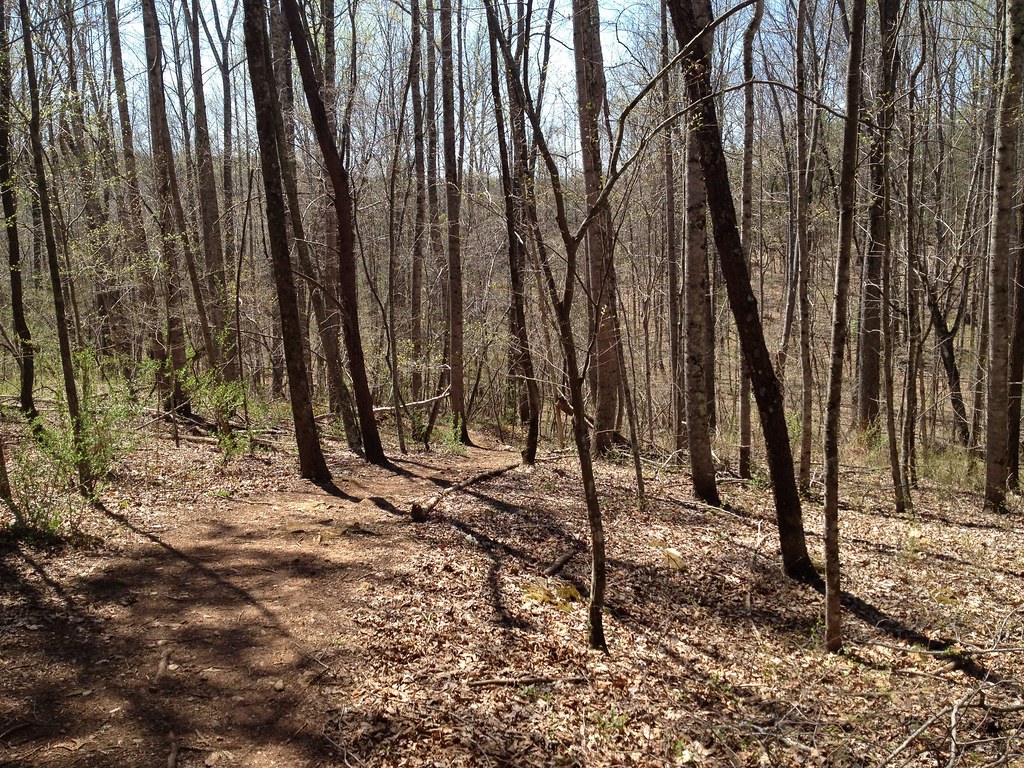
Ivy Creek Natural Trail

Reflections Through the Ice; Ivy Creek Natural Area; Charlottesville, Virginia

Blackwells Hollow Rd (Rt 810)
Prize Hill

A lake near by C'ville Airport

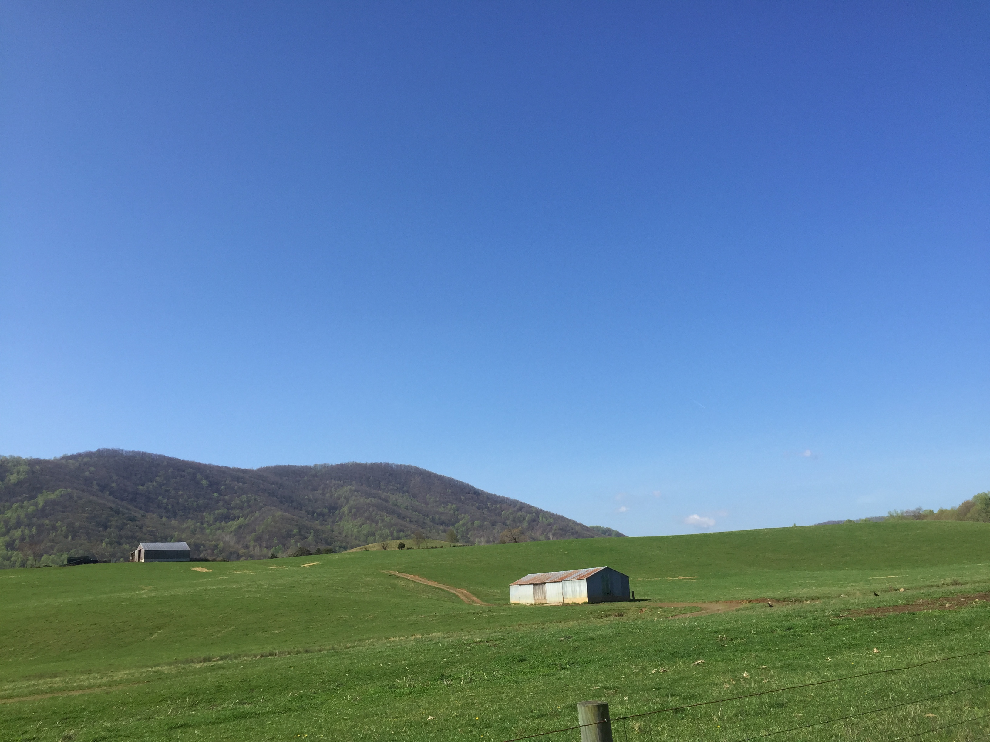
Breezy Field
Blackwells Hollow ride
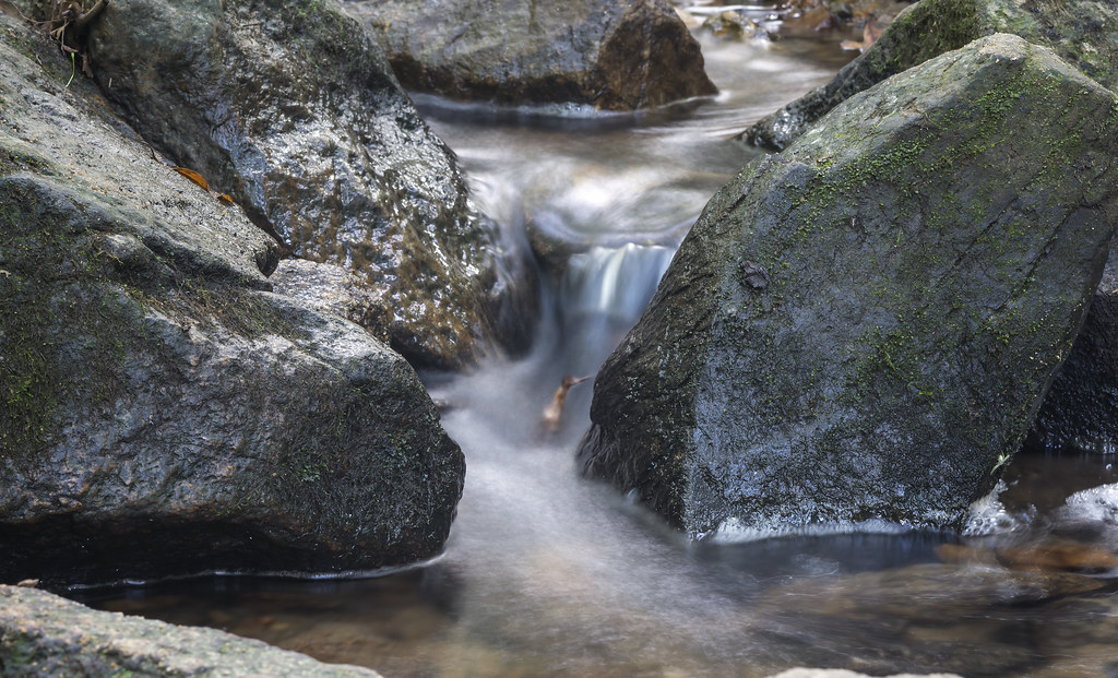
Small Waterfall
Blackwells Hollow ride

DSC_0008(8)
DSC_0095(6)
DSC_0014(14)
Blackwells Hollow ride
Fox Field
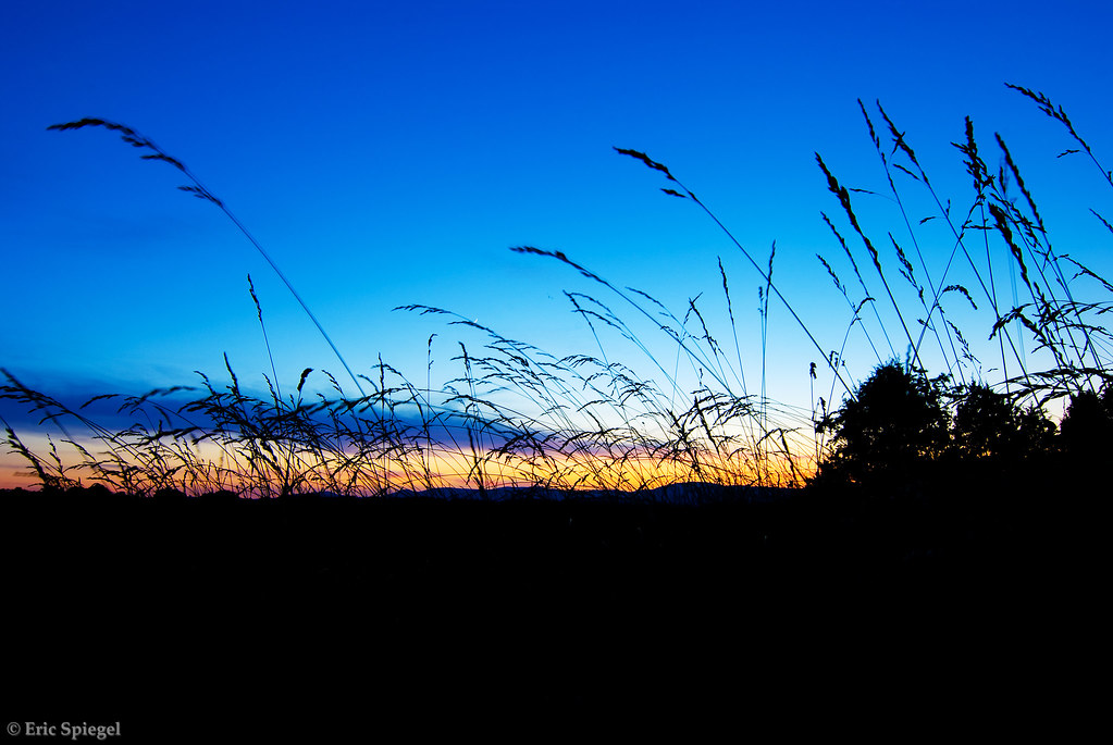
Sunset Through the Tall Grass
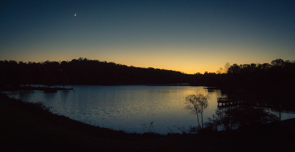
Last Light at Chris Greene Lake
Glass House Winery
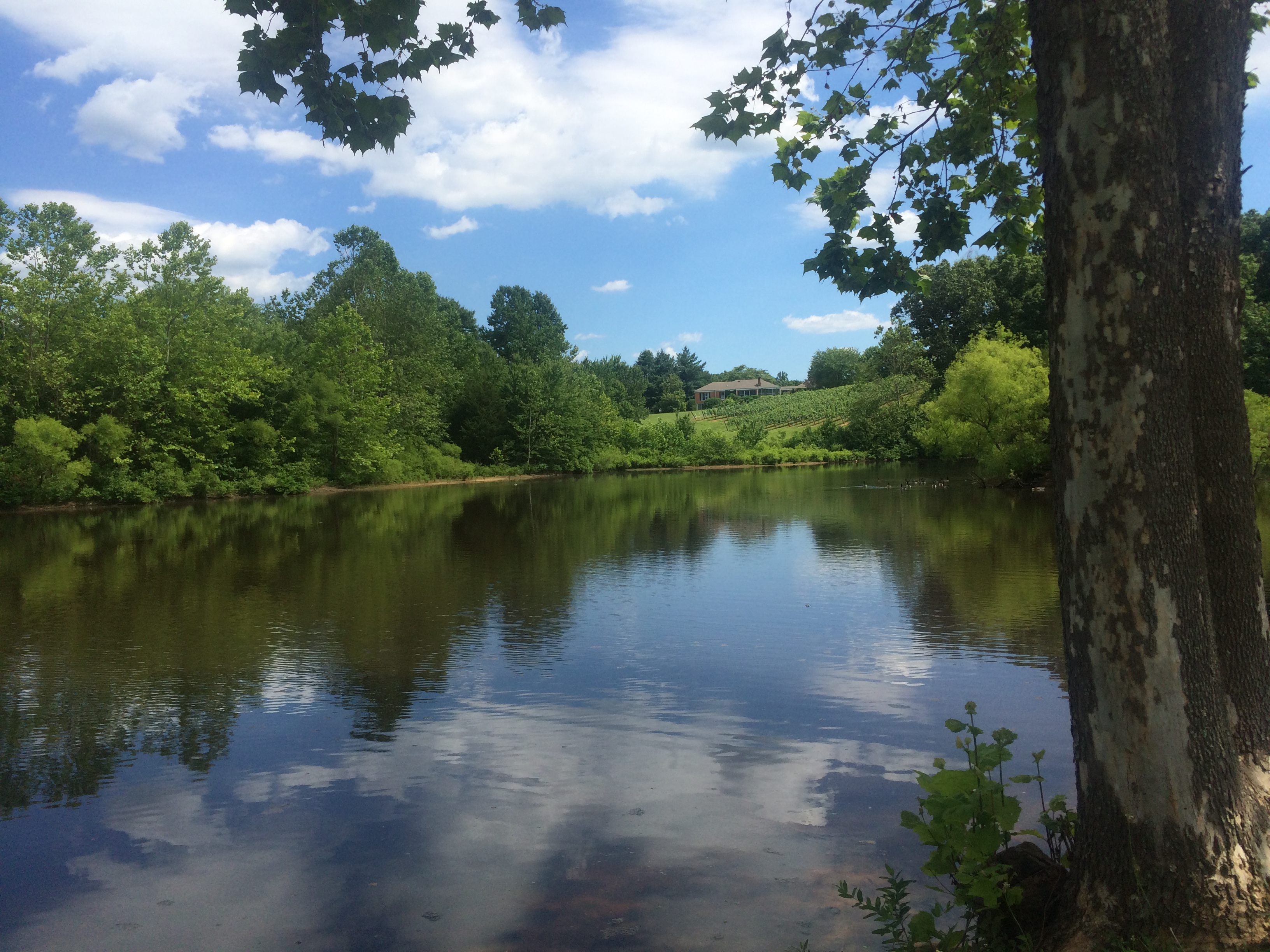
Chris Greene Lake Park
DSC_0035(16)
DSC_0013(14)
Topographic Map of Lexington, White Hall, VA, USA
Find elevation by address:

Places in Lexington, White Hall, VA, USA:
Places near Lexington, White Hall, VA, USA:
Lexington Ln, Earlysville, VA, USA
Buck Mountain Rd, Earlysville, VA, USA
5160 Advance Mills Rd
1345 Earlysville Forest Dr
Earlysville Heights
Ridgemont Rd, Earlysville, VA, USA
Earlysville Forest
Earlysville
Martingale Ln, Earlysville, VA, USA
Hickory Ridge
4630 Mockernut Ln
Fray Rd, Ruckersville, VA, USA
Chris Greene Lake Rd, Charlottesville, VA, USA
Frays Mill Road
Wisteria Dr, Charlottesville, VA, USA
173 Valley View Rd
Sparrow Lane
Briarwood
74 Holly Ln
Simmons Gap Rd, Dyke, VA, USA
Recent Searches:
- Elevation of Côte-des-Neiges, Montreal, QC H4A 3J6, Canada
- Elevation of Bobcat Dr, Helena, MT, USA
- Elevation of Zu den Ihlowbergen, Althüttendorf, Germany
- Elevation of Badaber, Peshawar, Khyber Pakhtunkhwa, Pakistan
- Elevation of SE Heron Loop, Lincoln City, OR, USA
- Elevation of Slanický ostrov, 01 Námestovo, Slovakia
- Elevation of Spaceport America, Co Rd A, Truth or Consequences, NM, USA
- Elevation of Warwick, RI, USA
- Elevation of Fern Rd, Whitmore, CA, USA
- Elevation of 62 Abbey St, Marshfield, MA, USA