Elevation of Lewis Township, AR, USA
Location: United States > Arkansas > Scott County >
Longitude: -94.171854
Latitude: 35.0333846
Elevation: 194m / 636feet
Barometric Pressure: 99KPa
Elevation Map:
Satellite Map:
Related Photos:
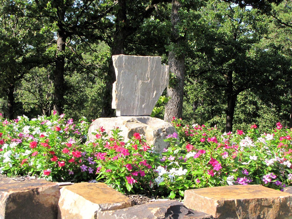
IMG_0620

Dixie Theatre ... Mansfield Arkansas .. 1-2
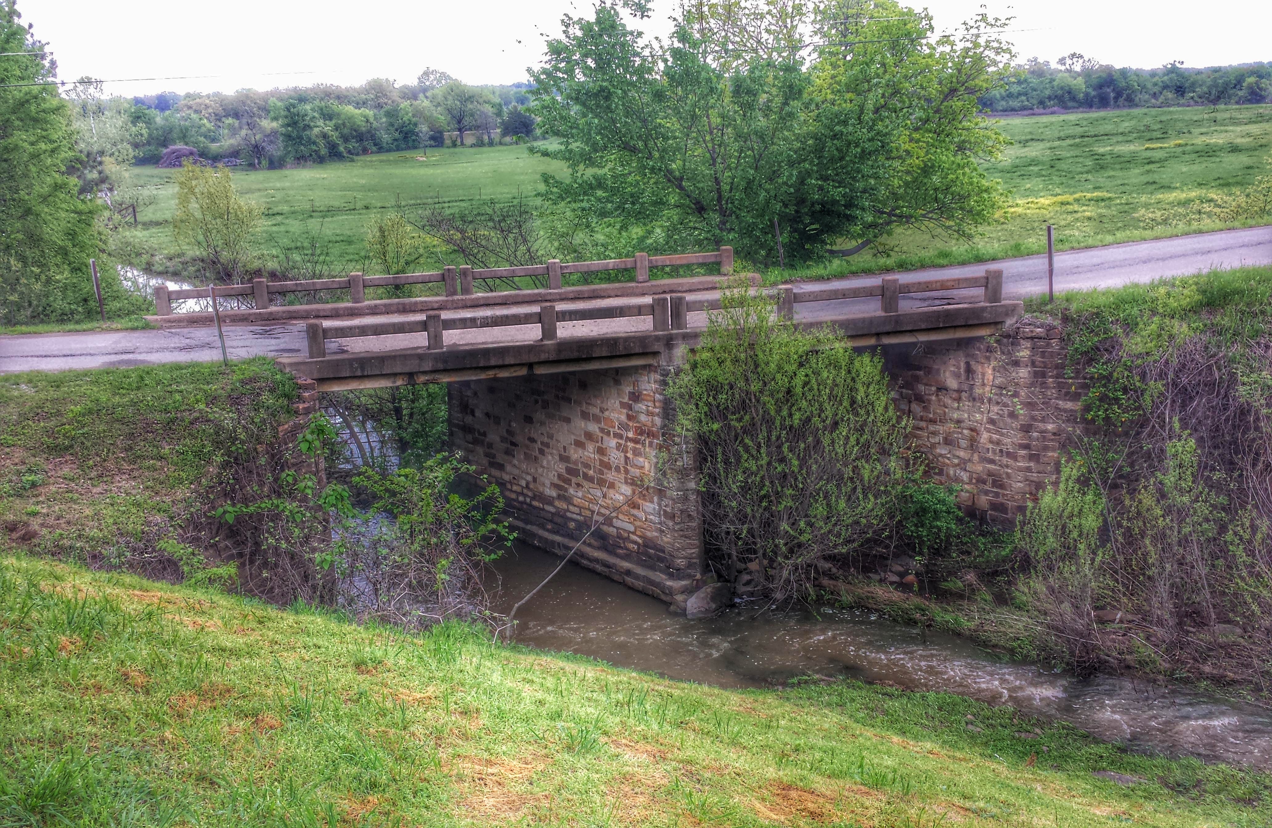
Coop Creek Bridge- Mansfield AR (1)
Coop Creek Bridge- Mansfield AR (2)
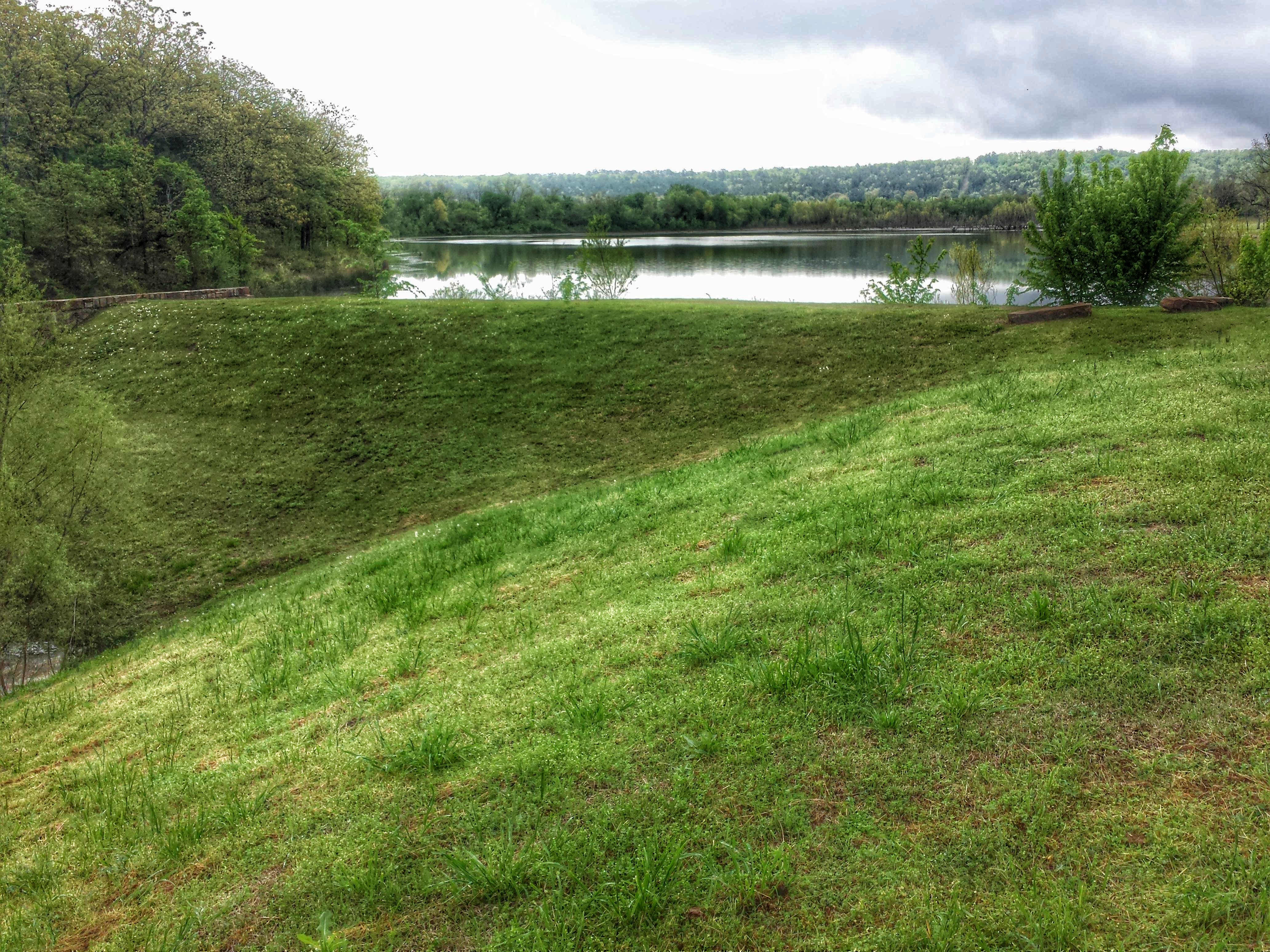
Mansfield Lake- Mansfield AR

Sebascott Ave

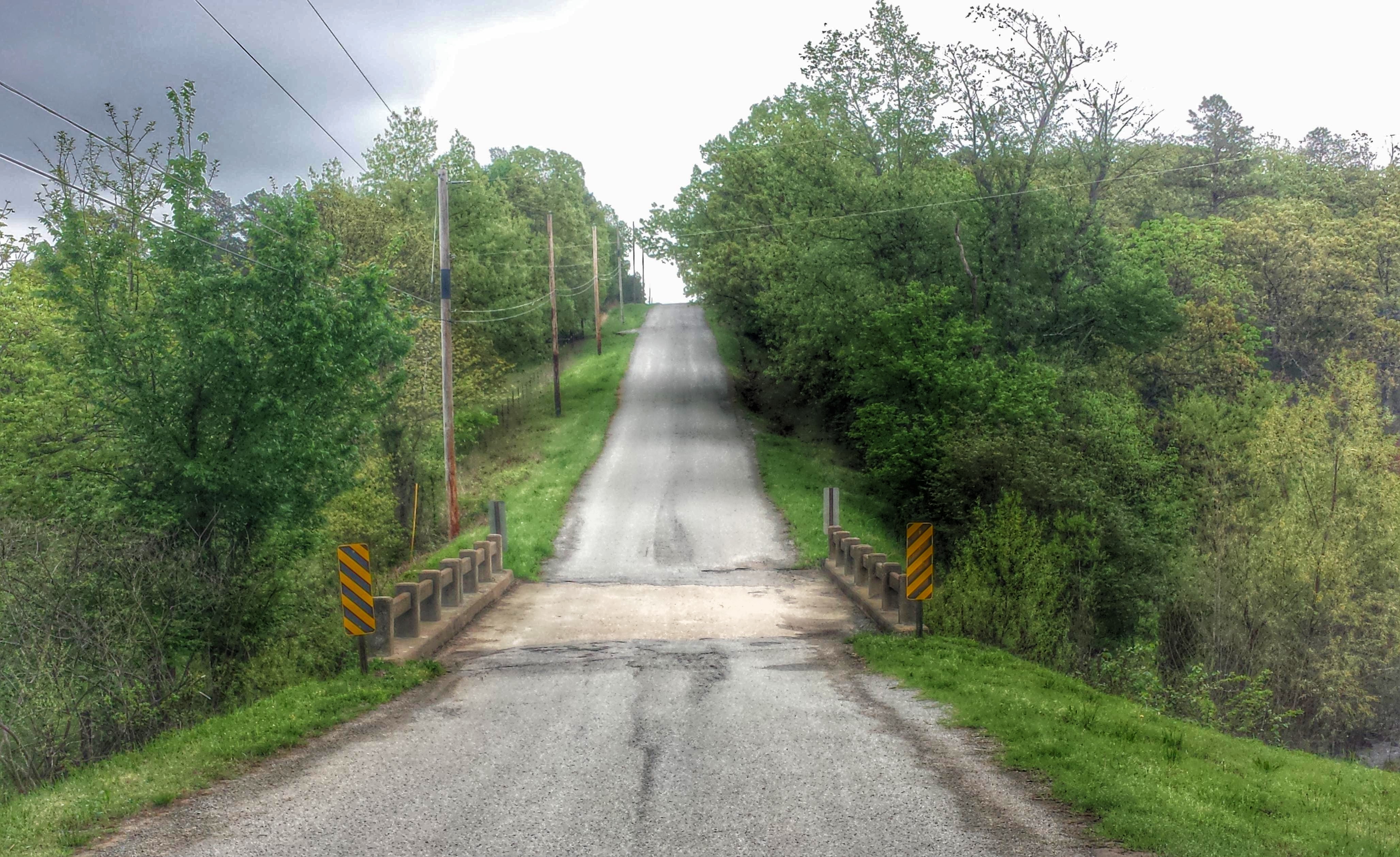
On the road again...on the other side of the state...

Swinging Dangerously
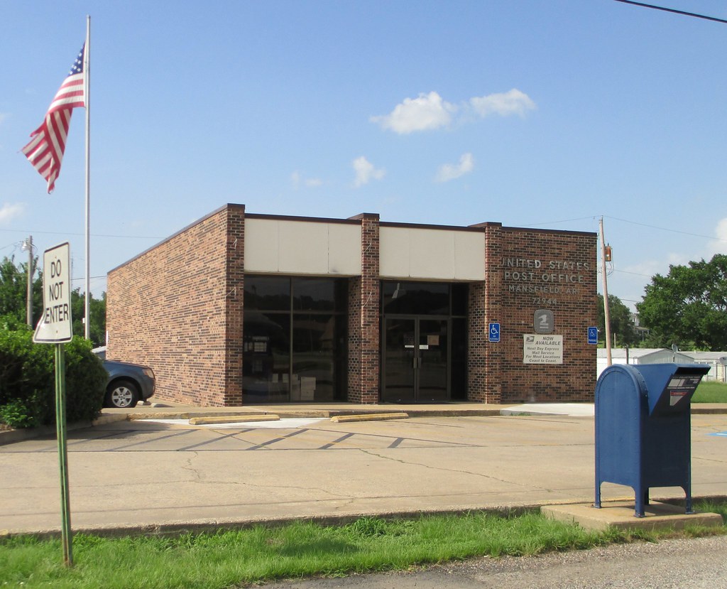
Post Office 72944 (Mansfield, Arkansas)
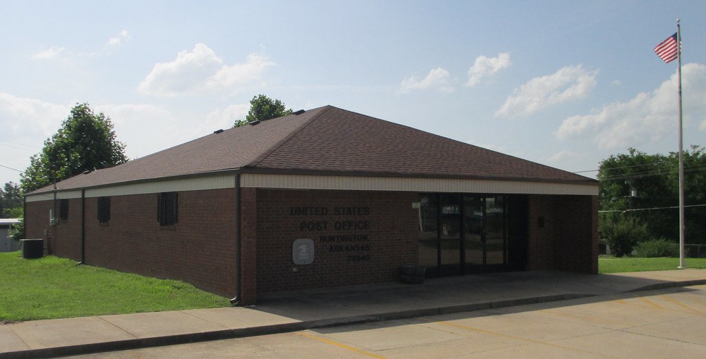
Post Office 72940 (Huntington, Arkansas)
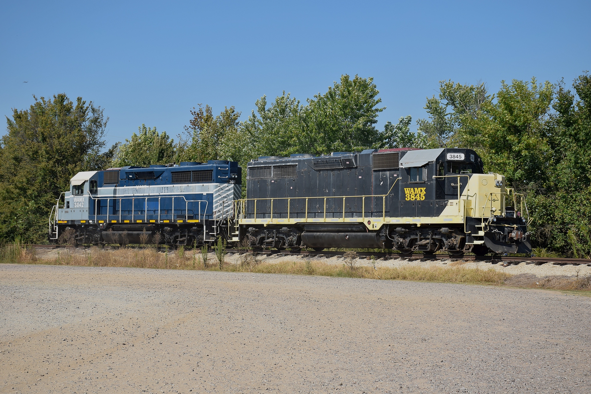
WAMX 3845
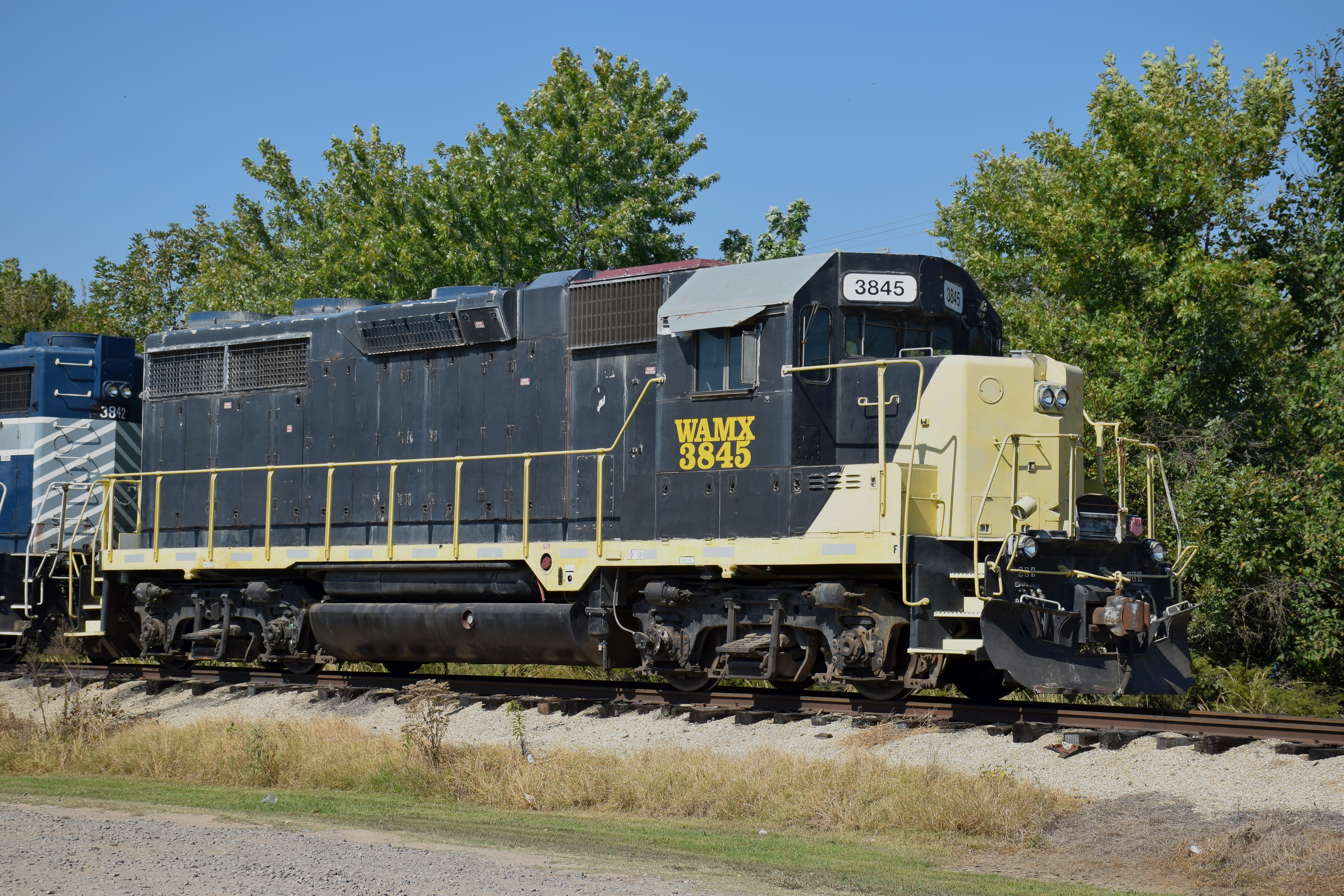
WAMX 3845
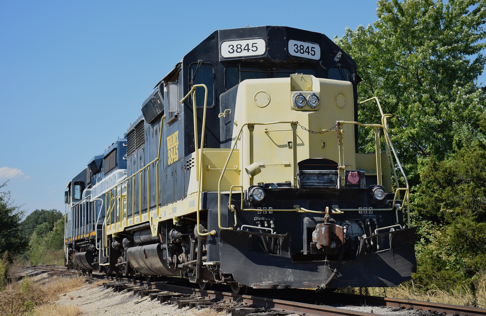
WAMX 3845

WAMX 3845

Hey Abbott!
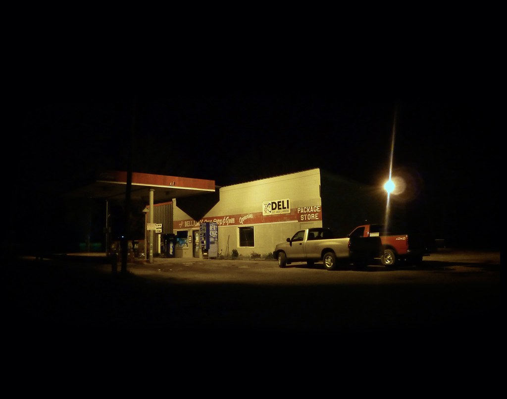
Bellamy Package Liquor Store
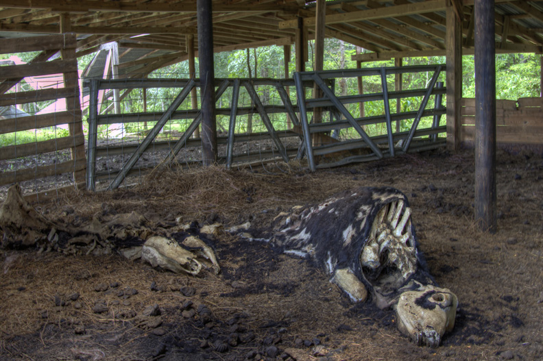
Leathery Bones
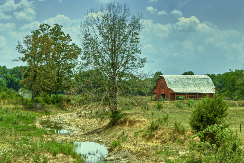
Red Barn in Waldron, AR
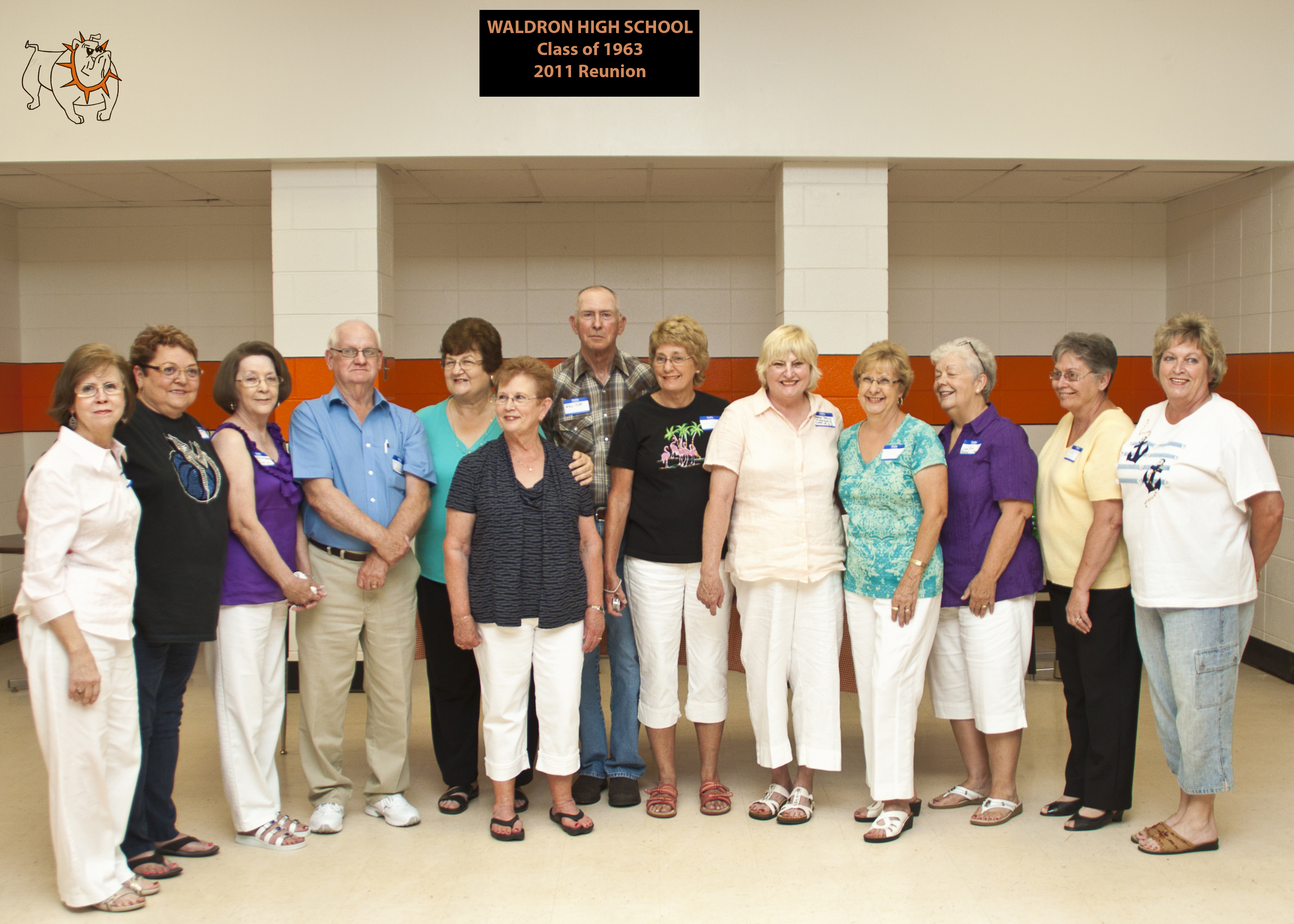
Waldron High School 2011 Reunion
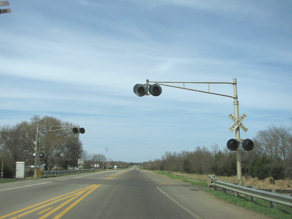
Waldron Crossing
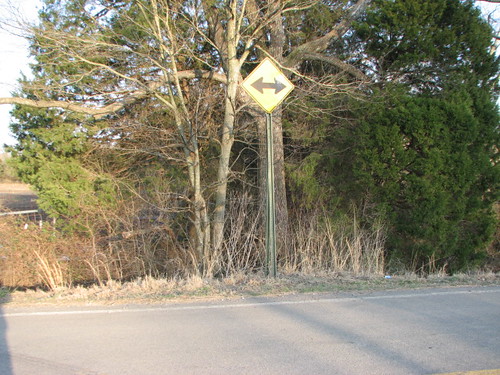
New Sign, Old Style
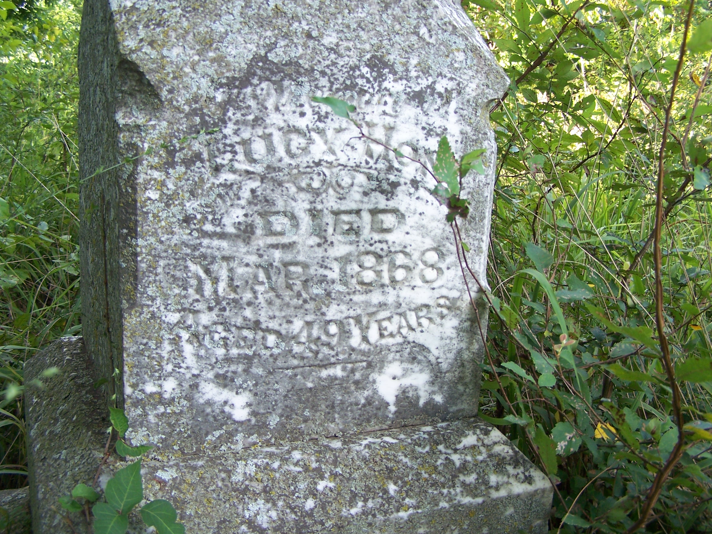
Old Hon Cemetery, Hon Ark, USA
Topographic Map of Lewis Township, AR, USA
Find elevation by address:

Places in Lewis Township, AR, USA:
Places near Lewis Township, AR, USA:
13285 Rupe Rd
Broadway Street
US-71, Mansfield, AR, USA
Dizzy Dean Rd, Booneville, AR, USA
Echo Rd, Booneville, AR, USA
Tomlinson Township
White Oak Township
Barber Township
Waldron, AR, USA
80 Ione St, Booneville, AR, USA
Arkansas 28
Whispering Pine Road
Hickman Township
Waldron
Greenridge Rd, Waldron, AR, USA
US-71 BUS, Waldron, AR, USA
AR-23, Booneville, AR, USA
Cauthron Township
2881 Primrose Ln
Scott County
Recent Searches:
- Elevation of Elwyn Dr, Roanoke Rapids, NC, USA
- Elevation of Congressional Dr, Stevensville, MD, USA
- Elevation of Bellview Rd, McLean, VA, USA
- Elevation of Stage Island Rd, Chatham, MA, USA
- Elevation of Shibuya Scramble Crossing, 21 Udagawacho, Shibuya City, Tokyo -, Japan
- Elevation of Jadagoniai, Kaunas District Municipality, Lithuania
- Elevation of Pagonija rock, Kranto 7-oji g. 8"N, Kaunas, Lithuania
- Elevation of Co Rd 87, Jamestown, CO, USA
- Elevation of Tenjo, Cundinamarca, Colombia
- Elevation of Côte-des-Neiges, Montreal, QC H4A 3J6, Canada