Elevation of Levering Rd, Fredericktown, OH, USA
Location: United States > Ohio >
Longitude: -82.618924
Latitude: 40.5435609
Elevation: 353m / 1158feet
Barometric Pressure: 97KPa
Elevation Map:
Satellite Map:
Related Photos:

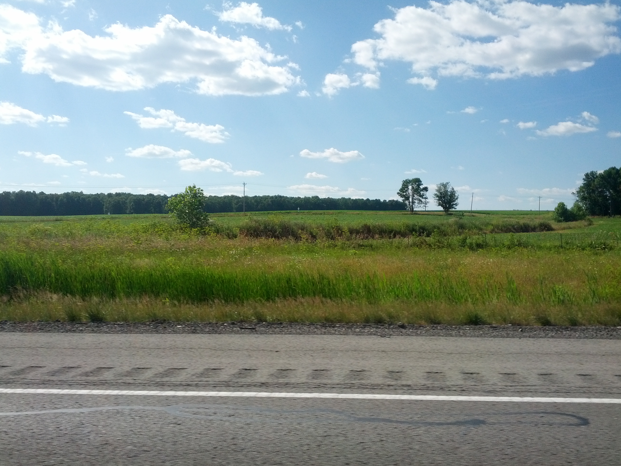
Turn three

photo(an6z)

Ordinary Wonder

The Farm

Thanksgivings, Joy, Blessings
Cross-Country Road Trip

Truck_102111_LR-154.jpg

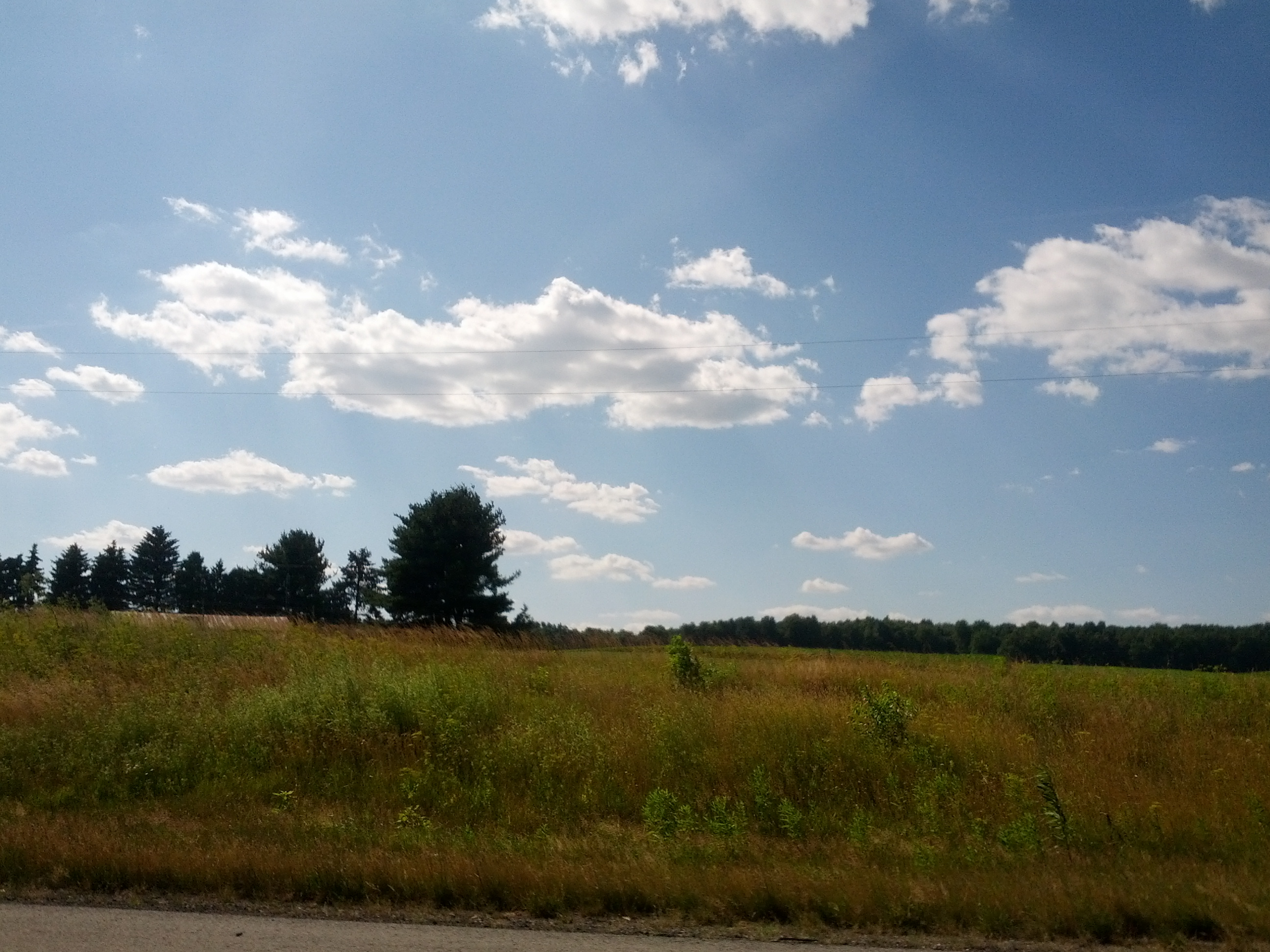
Landscape of the esses

#cloudpoker #sunrise #fallphotos #iphonephotography #clouds #highwayphotography #mobilepictures #sun #10-2-14

Lone Tree
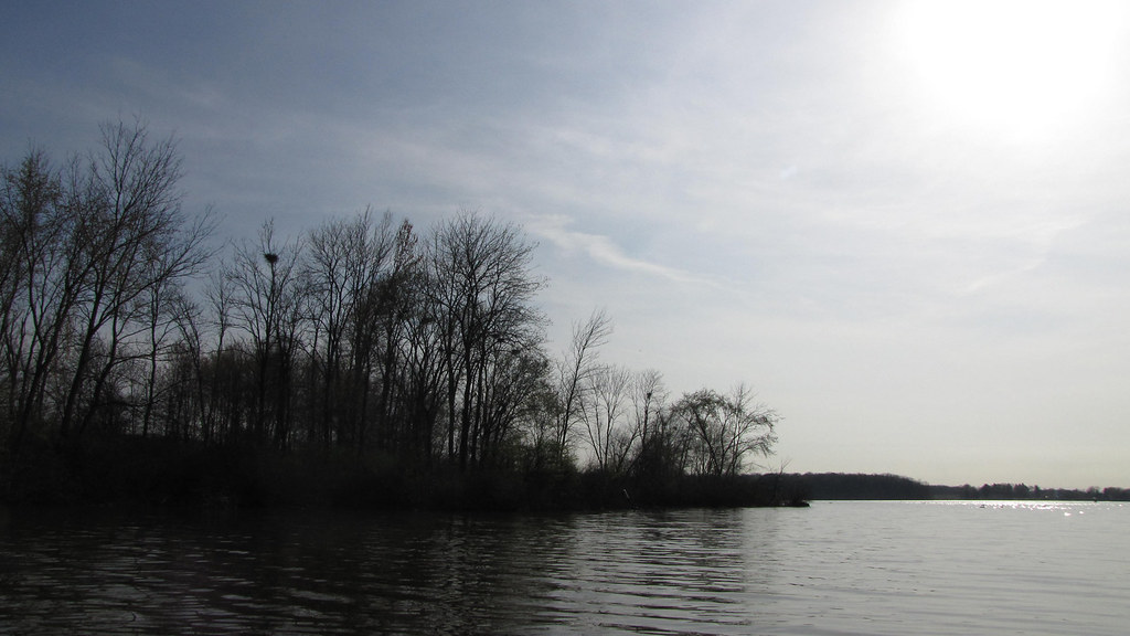
Bird Island
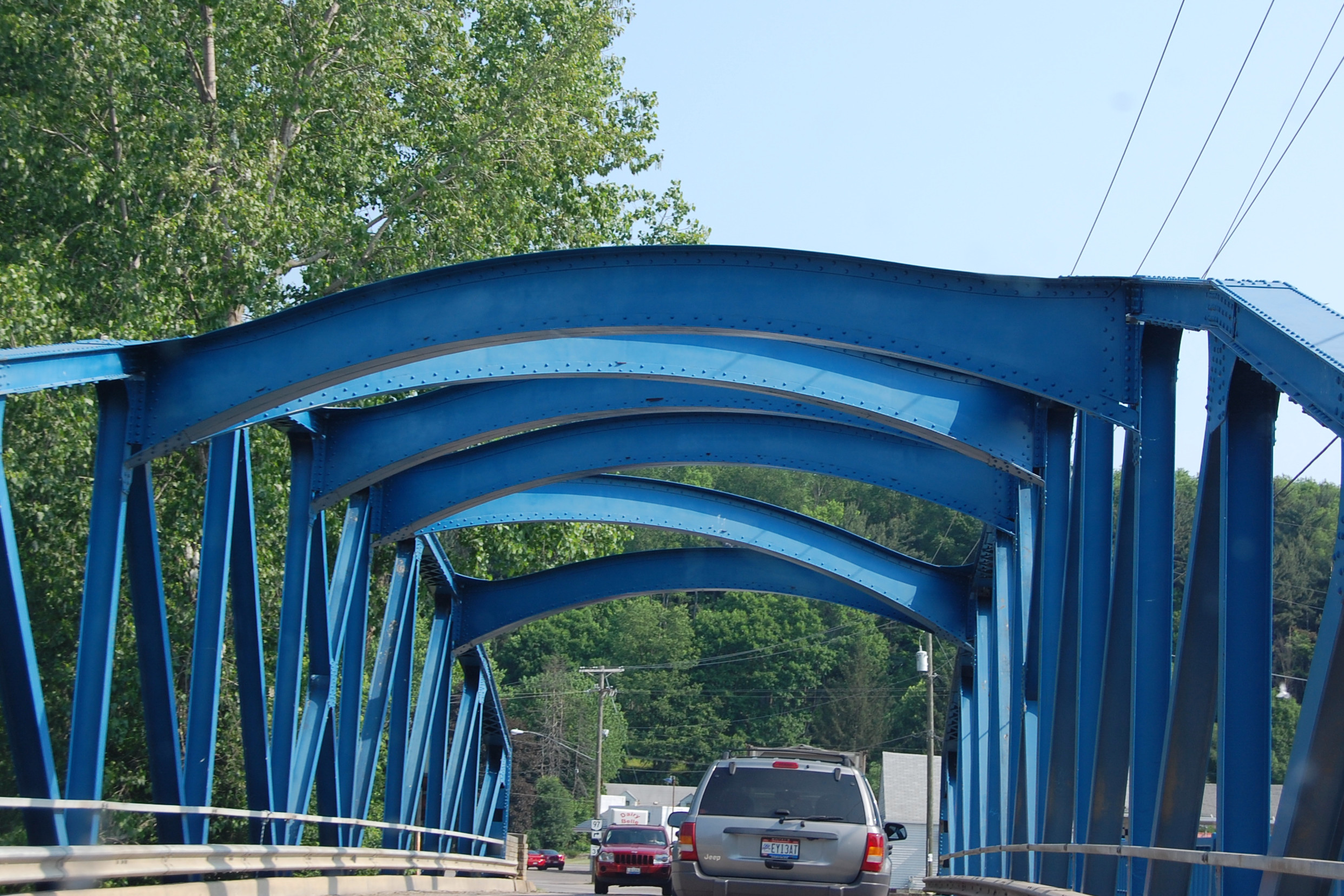
Southern Ohio Bridge June 2011
Cross-Country Road Trip

The esses
Topographic Map of Levering Rd, Fredericktown, OH, USA
Find elevation by address:

Places near Levering Rd, Fredericktown, OH, USA:
Fredericktown, OH, USA
Perry Township
North Woodbury
Zolman Rd, Fredericktown, OH, USA
County Road 97
Chester Township
Fredericktown
8 Summit Dr
Woodview Ln, Fredericktown, OH, USA
Congress Township
Berlin Township
349 Bollinger Rd
2495 Township Rd 180
Bellville
8670 Oh-314
Troy Township
Jefferson Township
410 Chapman Way
Love Road
19060 Love Rd
Recent Searches:
- Elevation of Corso Fratelli Cairoli, 35, Macerata MC, Italy
- Elevation of Tallevast Rd, Sarasota, FL, USA
- Elevation of 4th St E, Sonoma, CA, USA
- Elevation of Black Hollow Rd, Pennsdale, PA, USA
- Elevation of Oakland Ave, Williamsport, PA, USA
- Elevation of Pedrógão Grande, Portugal
- Elevation of Klee Dr, Martinsburg, WV, USA
- Elevation of Via Roma, Pieranica CR, Italy
- Elevation of Tavkvetili Mountain, Georgia
- Elevation of Hartfords Bluff Cir, Mt Pleasant, SC, USA